Regional overview
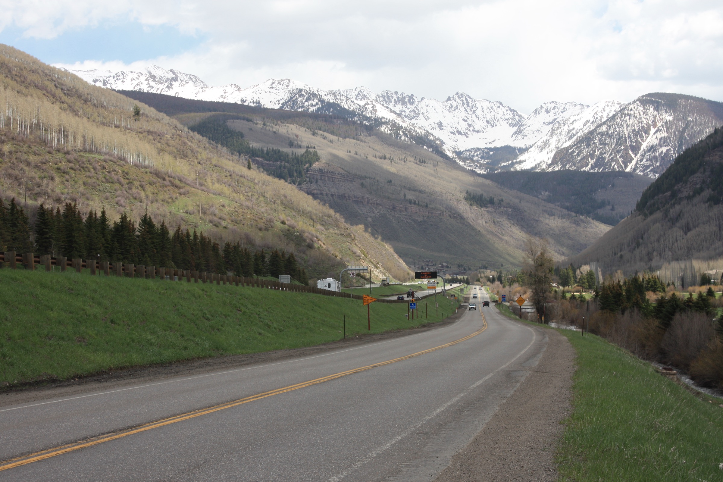
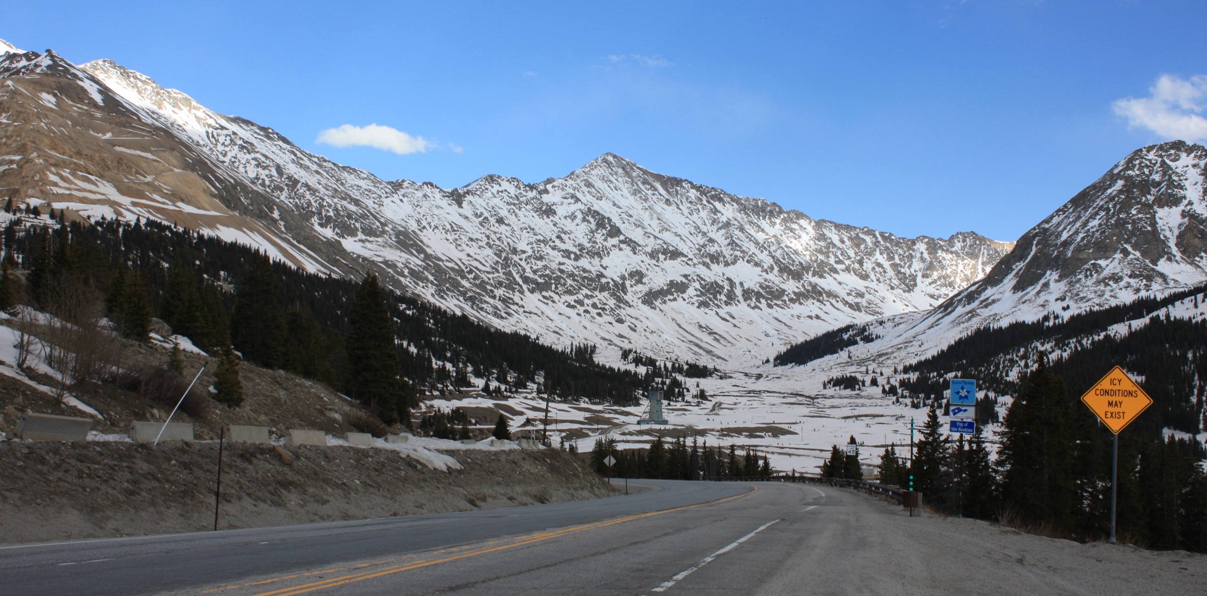
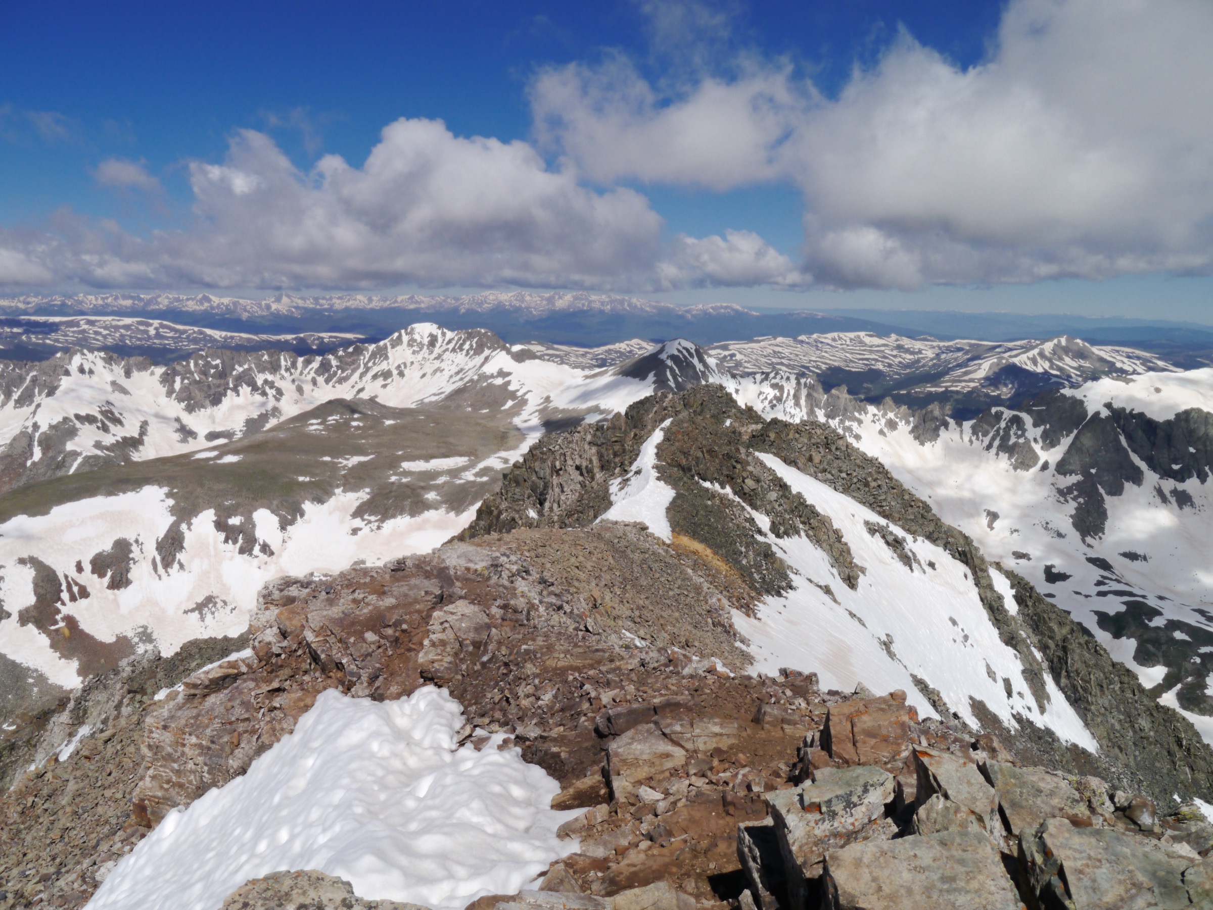
The Tenmile Range is a short, sharply defined subrange of the Colorado Rockies running roughly 16 km north–south down the spine of Summit County between Frisco and Dillon Reservoir at the northern toe and Hoosier Pass at the southern terminus. It sits west of Breckenridge and east of Copper Mountain, with I-70 sweeping across its northern end and Colorado Highway 9 skirting its eastern base. The crest carries a distinctive numbered sequence — Peak 1 through Peak 10 above Breckenridge — supplemented by named summits Crystal Peak, Pacific Peak, Atlantic Peak, Fletcher Mountain, and, at the southern terminus, Quandary Peak (4,350 m / 14,271 ft), the range’s only fourteener and Colorado’s 13th-highest summit. The eastern slopes above Peaks 6–10 form Breckenridge Ski Resort; the western flanks drop into Officer’s Gulch, Mayflower Gulch, and Tenmile Creek. Approximately 25,000 acres on the west side lie within Camp Hale–Continental Divide National Monument, designated in 2022.
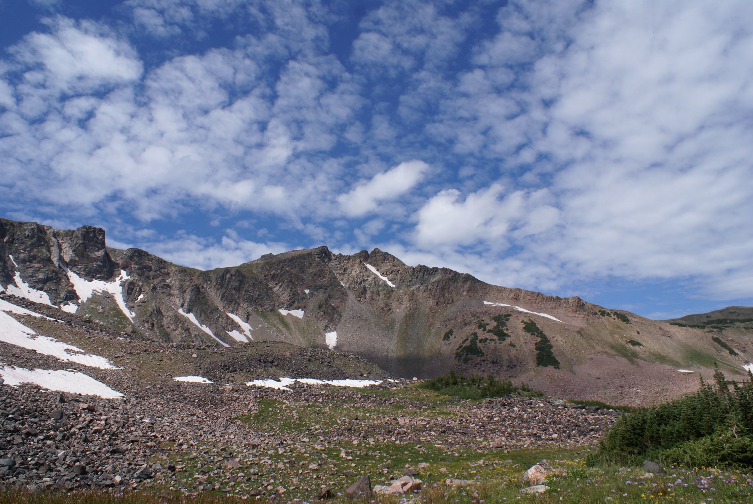
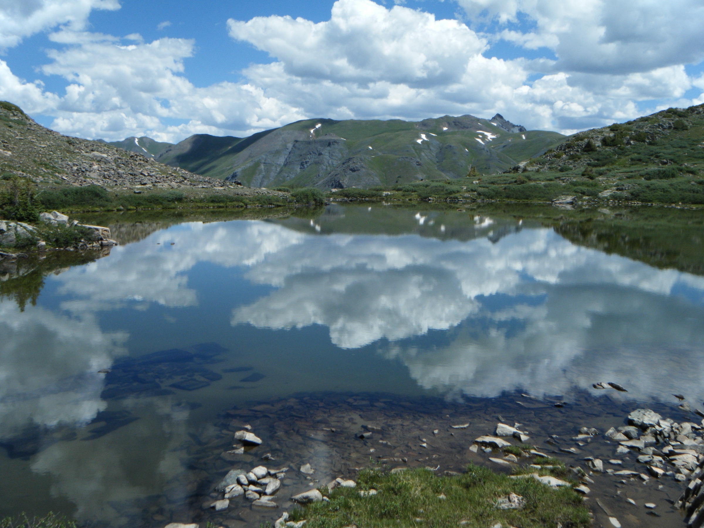
Geologically the range is Precambrian gneiss and schist intruded by younger granite and reworked by Pleistocene glaciation, which sculpted the classic cirque-and-tarn topography above Mohawk Lakes, Crystal Lake, and McCullough Gulch. The late-nineteenth-century Colorado silver and gold rushes left the range dotted with mining relics — Boston Mine in Mayflower Gulch, the Mohawk Mine and stamp mill above Spruce Creek, the ill-fated Masontown site below Mount Royal — many of which are still visible from the trail. The east side of the range is administered by the White River National Forest, Dillon Ranger District; the southern crest and parts of the west side fall in the Pike–San Isabel National Forest. The three walking centres — Breckenridge (population c. 5,000, elevation 2,926 m), Frisco, and Copper Mountain — are all served by the free Summit Stage bus network.
The typical walking season is late June through late September for trails above 3,300 m; snow persists into July on north-facing cirques and returns from mid-October. Trailheads sit at 2,900–3,300 m and summit routes exceed 4,000 m, so altitude acclimatisation matters, and afternoon convective thunderstorms are the dominant summer hazard from mid-July through August. Above treeline (about 3,500 m in this range) exposure to lightning is severe. Front Range storm rules apply: aim to be off summit ridges and exposed cirques by midday, and treat building cumulus as a signal to descend.
The dominant recent access change concerns Quandary Peak and McCullough Gulch. Both trailheads on Blue Lakes Road / CR 850 have been managed under a Summit County paid-parking and shuttle system since 2021. For the 2026 season the reservation window runs 13 June to 13 September; during that period parking must be pre-booked at hikequandary.com (bookings open 1 June, on a two-week rolling window) or hikers use the free Breckenridge–Quandary shuttle from the South Gondola Parking Structure (visitors $7 round trip; 5am–5pm). Quandary parking reservations run $30 weekday / $55 weekend for a full-day slot (5am–3pm) and $10 / $20 for a 4-hour slot; a separate on-site shuttle transfers hikers from the Quandary trailhead to the McCullough Gulch trailhead 8am–4pm daily. Outside the reservation window parking is free and first-come-first-served but limited. Fees and dates have shifted year on year — confirm before travelling.
Selection rationale
Five day-hikes cover the Tenmile Range’s principal landscapes and access points: its only fourteener (Quandary Peak East Ridge), a classic alpine cirque hike laced with historic mining ruins (Mohawk Lakes from Spruce Creek), a short high-glacial-tarn hike now under managed access (McCullough Gulch), a steep out-and-back to a rugged high-alpine summit directly above a Summit County town (Peak 1 from Frisco), and a west-side mining-heritage day with ridge-view options (Mayflower Gulch to Boston Mine and Gold Hill). Together they balance the range’s east-side and west-side character, its cultural mining history and its high-country summit and cirque scenery, and they range from a short 2-hour outing to a long 4,000-metre summit day.
The neighbouring Mosquito Range summits south of Hoosier Pass, and the Gore Range summits north-west of Frisco, are treated separately and excluded here to keep the entry to the Tenmile crest proper.
Summary
| # | Hike | Trailhead | Route type | Distance | Gain | Max elevation | Difficulty |
|---|---|---|---|---|---|---|---|
| 1 | Quandary Peak — East Ridge | Quandary Peak TH (Blue Lakes Road) | Out-and-back | 10.9 km | 1,050 m | 4,350 m | Hard |
| 2 | Mohawk Lakes from Spruce Creek | Spruce Creek TH (Blue River) | Out-and-back | 10.6–14.8 km | 660 m | 3,780 m | Moderate–hard |
| 3 | McCullough Gulch waterfall and upper lake | McCullough Gulch #43 TH | Out-and-back | 5.6 km | 490 m | 3,840 m | Moderate |
| 4 | Peak 1 from Frisco | Peaks TH (Frisco) | Out-and-back | 11.3–12.2 km | 1,190 m | 3,903 m | Hard |
| 5 | Mayflower Gulch to Boston Mine (and Gold Hill) | Mayflower Gulch TH (Hwy 91) | Out-and-back | 4.8–9.8 km | 215–450 m | 3,510–3,660 m | Easy–moderate |
1. Quandary Peak — East Ridge
Snapshot
Itinerary
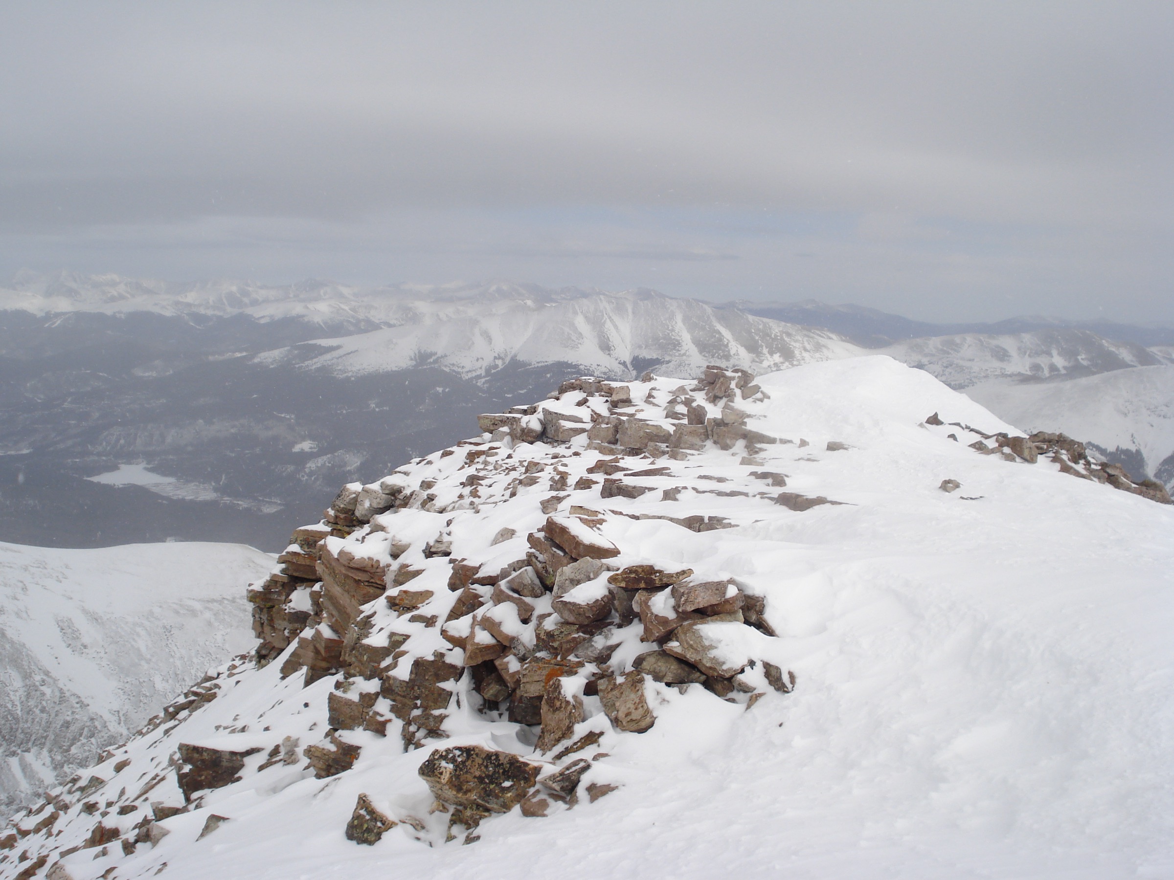
From the Quandary Peak Trailhead at ~3,340 m on Blue Lakes Road, roughly 10 km south of Breckenridge off Highway 9 near Hoosier Pass, the trail enters lodgepole and spruce forest and climbs steadily north-west for about 1.6 km to treeline at ~3,600 m. Above the trees the route joins the broad east ridge and continues on a well-worn trail across a series of gentle rises with expanding views south to Mount Lincoln and Democrat, and west into the Blue Lakes cirque. At about the 3-km mark a distinctive false summit — “the hump” — is reached at ~3,960 m. The trail dips slightly then climbs the crux ridge, which steepens above 4,100 m and passes through mixed talus and stone-slab terrain. The final 500 vertical metres involve sustained walking on loose rock; there is no fall-line exposure but footing is uneven. The summit at 4,350 m is a broad rocky dome with 360° views encompassing the Mosquito Range to the south-east, the Sawatch (Elbert, Massive) to the west, the Gore Range to the north, and Breckenridge Ski Resort to the north-east. Return is by the outbound route; no loop options exist as a day-hike. Mountain goats are frequently encountered on the upper ridge and are habituated — the Colorado Fourteeners Initiative and USFS advise keeping at least 30 m distance and never feeding wildlife.
Why it is essential
Quandary Peak is the Tenmile Range’s only fourteener, its high point, and the most-climbed fourteener in Colorado — around 49,000 hiker-days in 2020 alone. The East Ridge is the standard route and represents the signature summit day of the range; any essential-hikes list must include it.
Equipment
- Sturdy boots with support on loose rock
- Trekking poles recommended for the descent
- 2.5–3 L water — no water on route above treeline
- Warm layer, hat and gloves — summit temperatures can be near freezing even in July
- Sun protection (limited shade above 3,600 m)
- Microspikes into July or after early-season snowfall
- Headtorch for a pre-dawn start
- Advance parking reservation or shuttle ticket (13 Jun – 13 Sep 2026)
Hazards and notes
- Afternoon thunderstorms are the dominant hazard: the entire route above treeline (roughly the last 4.5 km) is a lightning-exposed ridge, and the Colorado Fourteeners Initiative advises being off the summit by noon in monsoon season (mid-July through August).
- Snow can linger on the upper ridge into early July and can return by late September.
- Parking reservations are mandatory during the 2026 window (13 June – 13 September): $30 weekday / $55 weekend for a full-day slot (5am–3pm), $10 weekday / $20 weekend for a 4-hour slot. Reservations open 1 June at hikequandary.com on a two-week rolling window.
- Outside the reservation season parking is free and first-come-first-served but the lot is small and fills early on weekends.
- Dogs must be leashed under Summit County trail regulations; owners are strongly discouraged from bringing dogs to the summit due to sharp talus and mountain goat encounters.
- No camping at the trailhead.
2. Mohawk Lakes from Spruce Creek Trailhead
Snapshot
Itinerary
From the lower Spruce Creek Trailhead at ~3,170 m, the trail climbs steadily west through lodgepole pine and Engelmann spruce for approximately 1.7 km to the junction with the Wheeler National Recreation Trail. Parties with 4WD can drive further up Spruce Creek Road to a higher trailhead, shortening the walk by about 3 km round trip. The route crosses Spruce Creek on a footbridge, passes an intact 1898-era water flume, and reaches a signed junction with the Mohawk Lakes Trail proper. Above the junction the trail steepens through subalpine fir, breaks out of the trees at about 3,500 m, and reaches Continental Falls — a multi-tier cascade dropping roughly 100 m through the Continental Mine workings. The trail then climbs a series of granite benches past the collapsed Mohawk Mine stamp mill and the remains of miners’ cabins to Lower Mohawk Lake (3,615 m). Upper Mohawk Lake sits another 250 m higher at 3,690 m, rimmed by the north-east face of Mount Helen and the eastern cirque wall of Pacific Peak. Fit parties continue on faint tundra tread to a series of higher unnamed tarns culminating at about 3,780 m. The landscape here is textbook Pleistocene glaciation — polished slabs, hanging valleys and stepped cirque tarns. Return is by the outbound route.
Why it is essential
Mohawk Lakes is the range’s classic east-side alpine-lake day-hike, combining a well-preserved mining landscape (Continental Falls, Mohawk Mine, Continental Mine) with a stepped chain of glacial cirque lakes below Pacific Peak and Mount Helen. It is the most-recommended non-fourteener hike from Breckenridge and represents the range’s high-country lake character better than any other single trail.
Equipment
- Sturdy hiking shoes or boots for wet slabs at the falls
- Trekking poles recommended for the descent from Continental Falls
- 2 L water (creek water available but treatment required)
- Warm layer for wind at Upper Mohawk
- Sun protection above treeline
- Bear-aware food storage — black bears are present
- Microspikes into early July on north-facing granite steps above the falls
Hazards and notes
- Wet, polished granite slabs at Continental Falls are the most common site of falls; keep back from the top of the falls.
- Old mining structures are unstable — the Colorado Fourteeners Initiative and USFS ask hikers not to climb on any of the collapsing timber.
- Afternoon lightning risk above treeline during monsoon season.
- Snow can persist in the upper basin into July.
- Dogs must be leashed. No permit required for day use.
- Parking on Spruce Creek Road is limited, informal, and often full by 8:00 on summer weekends; no shuttle serves this trailhead.
3. McCullough Gulch waterfall and upper lake
Snapshot
Itinerary
From the McCullough Gulch #43 trailhead at the end of Blue Lakes Road, the trail follows the north side of McCullough Creek west up the glacial gulch. The lower half-kilometre is on the former mining road; a signed junction transitions onto singletrack. The tread climbs steadily through Engelmann spruce and subalpine fir, with several open meadows offering views south to the north face of Quandary Peak — Quandary’s Cristo Couloir plunges directly into the head of the gulch. At about 2.4 km the trail reaches White Falls, a bright multi-tier cascade descending through a rock cleft; a short spur leads to a viewpoint. Above the falls a further 0.3 km on rocky tread brings walkers to the lower lake at ~3,626 m. Fit walkers continue another 0.5 km up the head of the cirque to a larger upper lake at ~3,840 m, backed by the west face of Quandary and by North Star Mountain across the gulch. Return is by the outbound route.
Why it is essential
McCullough Gulch is the most accessible high-cirque hike in the southern Tenmile Range and one of the shortest walks to a genuine alpine lake in Summit County. It provides a direct view of Quandary Peak’s north face, and — with the introduction of the mandatory summer reservation system since 2021 — has become a case study for managed access on Colorado’s most popular short trails.
Equipment
- Sturdy hiking shoes or boots (loose rock above the falls)
- Warm layer at the upper lake (wind and shade are common)
- 1.5–2 L water
- Trekking poles recommended for the rocky descent
- Sun protection above treeline
- Advance parking reservation or shuttle ticket (13 Jun – 13 Sep 2026)
- Microspikes into early July on the shaded north-side switchbacks
Hazards and notes
- Rocky, slippery tread above White Falls; a slip near the top of the falls is the most common injury.
- Afternoon lightning risk at the upper lake.
- During the 13 Jun – 13 Sep 2026 reservation window, both driving and shuttle access to the trailhead are gated. Reservations are made through hikequandary.com; a McCullough-specific on-site shuttle transfers hikers from the Quandary parking area 8am–4pm.
- Outside the reservation season the road may be gated seasonally at Blue Lakes Road — verify with Summit County Open Space and Trails.
- Water at the lakes is untreated.
- Dogs must be leashed under Summit County trail regulations. No camping at the trailhead.
4. Peak 1 from Frisco
Snapshot
Itinerary
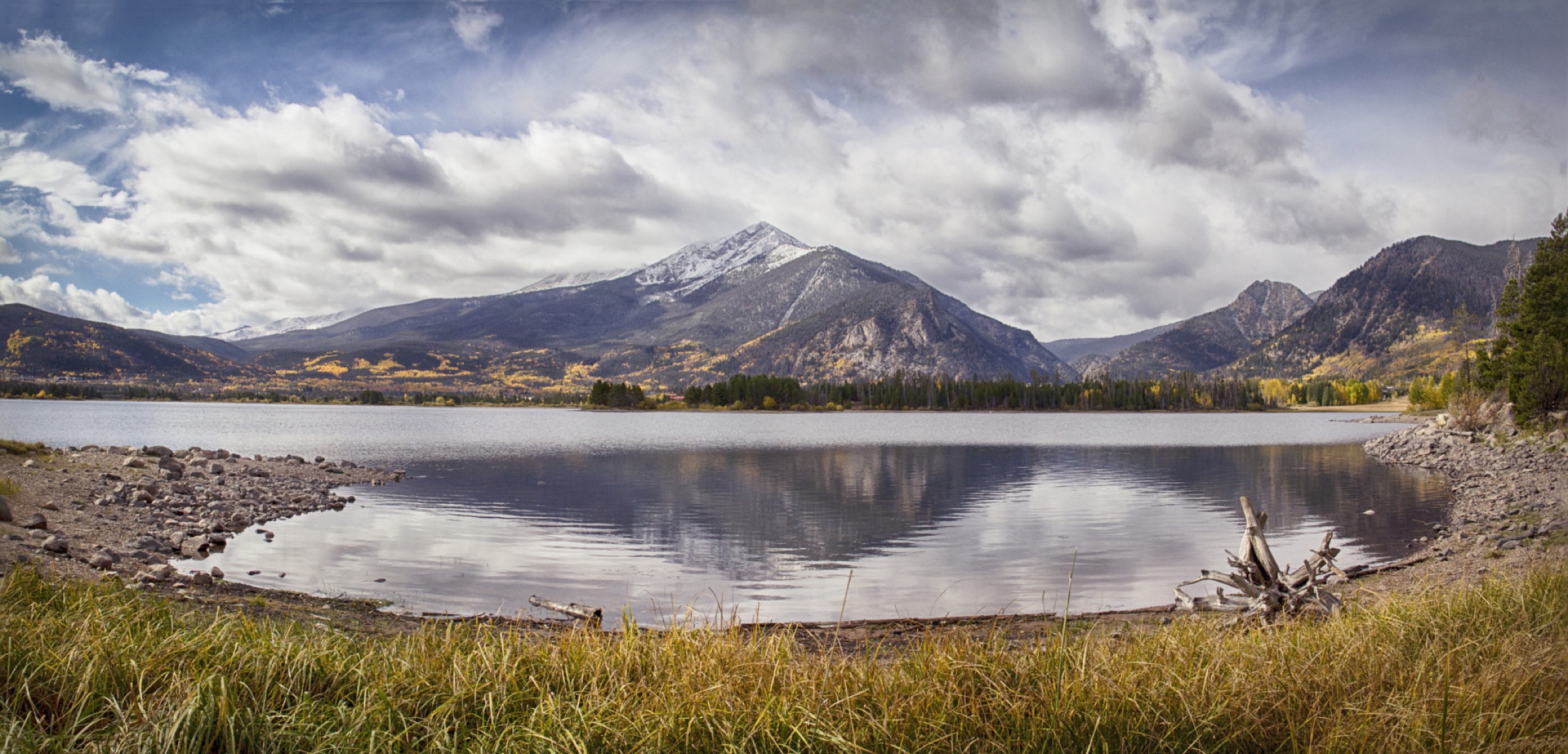
From the Peaks Trailhead in Frisco (parking off Highway 9 or from Second Avenue), the route crosses under I-70 on a paved path and joins the Mount Royal Trail (FDT 1). The trail climbs sharply through mixed spruce and lodgepole pine, gaining approximately 335 m in the first 1 km. After about 0.8 km the route passes the collapsing ruins of Masontown — a mining and milling settlement established in 1866 and destroyed by an avalanche in 1926. Above Masontown the trail switches back up the north-east face and reaches a signed junction at ~3,150 m. A left spur leads in 15 minutes to Mount Royal (3,150 m), a viewpoint over Dillon Reservoir. The main route continues south-east and climbs a steady ridge toward Mount Victoria (3,405 m) and Peak 1. Above treeline at about 3,500 m the trail becomes braided across granite scree; the crest is broad, without exposure, but tread deteriorates and route-finding is required near the top. The summit of Peak 1 (3,903 m) is a rounded ridgetop with panoramic views south along the numbered Tenmile ridge to Peak 2 (Tenmile Peak, 3,944 m), 3 and 4, and north over Dillon Reservoir, the Williams Fork Mountains and the Gore Range. Return is by the outbound path. Strong parties often extend the day by continuing south to Tenmile Peak, which adds approximately 2 km round trip and 200 m of gain but introduces Class 2+ ridge scrambling.
Why it is essential
Peak 1 is the range’s namesake northern anchor, its summit directly visible from every Frisco street, and the standard walker’s introduction to the Tenmile crest. The route climbs 1,150 m directly from a Summit County town and passes the historic Masontown mining site en route. It is the classic Frisco-based high summit and belongs on any Tenmile Range essential list.
Equipment
- Sturdy boots for the sustained scree descent
- Trekking poles strongly recommended (steep descent through Masontown)
- 2.5–3 L water (no reliable water on route)
- Warm layer, hat and gloves for the summit
- Sun protection above treeline
- Headtorch for a long summer day
- Helmet optional if extending to Peak 2 (Tenmile Peak) on the ridge
Hazards and notes
- Afternoon lightning risk on the ridge above treeline (roughly the last 3 km); an early start is essential from mid-July through August.
- Loose scree on the descent above 3,500 m; twisted ankles are the most-reported injury.
- Route-finding above treeline requires attention when clouds are low.
- Masontown ruins are unstable and closed to entry.
- Dogs must be leashed. No permits required for day use.
- Rainbow Lake trailhead parking (a common overflow) is small and fills early on summer weekends; using the Frisco Transit Center and walking in via the paved path is a practical alternative.
5. Mayflower Gulch to Boston Mine (and Gold Hill)
Snapshot
Itinerary
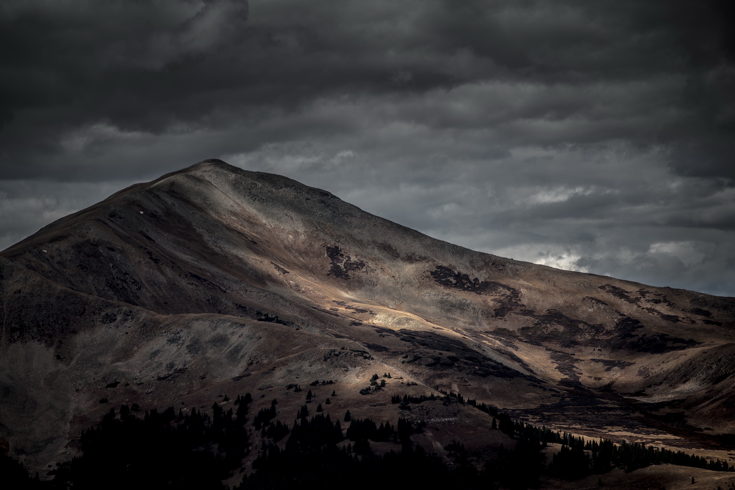
From the trailhead pull-off on Highway 91, the route follows the closed mining road FDR 1178 north-east into Mayflower Gulch. The road is broad and gently graded, climbing through spruce and lodgepole forest with intermittent avalanche paths on either side. At approximately 2.4 km the road crests into an open meadow at the head of the gulch, occupied by the log ruins of Boston Mine (c. 1884–1900) — several cabins, an ore-processing structure and mine adits. The meadow sits at ~3,510 m directly beneath the west faces of Fletcher Mountain (4,252 m), Atlantic Peak (4,220 m) and Pacific Peak (4,252 m) — the highest cluster of the Tenmile Range after Quandary. From Boston Mine, walkers have several extensions. A short spur leads to the Mayflower Mine ruins directly north of the meadow. A steeper informal trail climbs west up the ridge toward Gold Hill, gaining about 150 m in 0.8 km with excellent views back into the gulch. The most popular longer variant, the “Mayflower Gulch Grand Traverse”, follows the Boston Mine road to its terminus, then loops up onto the Gold Hill ridge and back down the main road, adding about 3–4 km. Return is by the outbound route.
Why it is essential
Mayflower Gulch is the classic west-side mining-heritage hike of the Tenmile Range. The Boston Mine ruins are among the best-preserved 19th-century mining structures still standing on a maintained USFS trail in Colorado, and the walk provides direct high-alpine views of the Fletcher–Atlantic–Pacific cluster — a triple 13,900+ ft skyline — with less than 250 m of climbing to reach open terrain. It is family-friendly at the shorter distance yet extends into a serious ridge hike, making it a functional counterpart to the range’s harder east-side summit days.
Equipment
- Sturdy trail shoes for the mixed dirt-and-rock road
- 1.5–2 L water
- Sun protection in the open meadow
- Warm layer at the upper meadow (wind is common)
- Trekking poles recommended if extending to Gold Hill
- Microspikes into early July for lingering snow patches near the meadow
Hazards and notes
- Winter avalanche paths cross the road on both sides — the Mayflower Gulch corridor is a known backcountry-ski avalanche zone, and lingering snow in early season should be treated with caution.
- Old mining structures are unstable and open shafts remain; the USFS and Friends of the Dillon Ranger District ask hikers to view from a distance rather than enter.
- Afternoon lightning risk on the Gold Hill ridge during monsoon.
- Highway 91 parking on both sides of the trailhead is limited and fills by mid-morning on weekends; overflow parking is not permitted along the shoulders.
- No permits required for day use. Dogs must be leashed.
- The meadow lies within the boundary of Camp Hale–Continental Divide National Monument (designated 2022); check for any new access rules before travel as the management plan is still being finalised.
Routes excluded as out of scope
The following sit inside or adjacent to the Tenmile Range but fall outside a day-hike entry, are too duplicative of the five above, or are better understood as different trip types.
- Peaks Trail (Frisco–Breckenridge). The 8-mile / ~13 km singletrack that runs the length of the range’s eastern base between Frisco and Breckenridge is the natural sixth option here. It was excluded to keep the entry to five and to preserve Peak 1 as the Frisco anchor; adding it would make an excellent point-to-point using the Summit Stage back to the start.
- Neighbouring Mosquito Range summits (Mount Lincoln, Mount Democrat, Mount Bross, Mount Cameron and Mount Sherman). These sit south of Hoosier Pass across the Continental Divide from Quandary and are covered separately.
- Gore Range summits (Buffalo Mountain, Peak C, Red Peak, Willow Peak). The Gore Range north-west of Frisco and Silverthorne is a separate subrange treated in its own entry.
- Crystal Peak, Pacific Peak, Atlantic Peak and Fletcher Mountain. These four thirteeners on the range’s southern spine above Mayflower Gulch and Spruce Creek involve serious Class 2 to Class 3 scrambling with significant off-trail navigation; they sit beyond the day-hike catalogue’s remit.
- Tenmile Peak (Peak 2) as a standalone summit. Reached by continuing south on the ridge from Peak 1, this is best treated as an add-on rather than a separate entry.
- North Halfmoon Lakes and other Blue Lakes / Spruce Creek variants. Duplicative of entries 2 and 3.
- Breckenridge Ski Resort summer hiking trails. Lift-served walking that sits outside the wild-land catalogue.
Further reading
| Source | URL |
|---|---|
| USFS White River National Forest — Dillon Ranger District | fs.usda.gov |
| USFS Quandary Peak Trailhead (recreation site) | fs.usda.gov |
| USFS McCullough Gulch TH #43 | fs.usda.gov |
| USFS Spruce Creek (Mohawk Lakes) #58 | fs.usda.gov |
| USFS Peaks Trailhead #45 | fs.usda.gov |
| Summit County Open Space and Trails — Quandary Peak and McCullough Gulch | summitcountyco.gov |
| Town of Breckenridge — Go Breck Quandary Peak hiking guide | gobreck.com |
| hikequandary.com — Summit County parking reservations and shuttle | hikequandary.com |
| Town of Frisco — Hiking and Running | townoffrisco.com |
| 14ers.com — Quandary Peak East Ridge | 14ers.com |
| Colorado Fourteeners Initiative | 14ers.org |
| Friends of the Dillon Ranger District — trail PDFs and Quandary shuttle info | fdrd.org |
| ProTrails — Mohawk Lake and Lower Mohawk Lake | protrails.com |
| SummitPost — Peak 1 / Tenmile Peak | summitpost.org |
| SummitPost — McCullough Gulch | summitpost.org |
| COTREX — Mayflower Gulch to Boston Mine | trails.colorado.gov |
| Wikipedia — Tenmile Range | en.wikipedia.org |
| Wikipedia — Quandary Peak | en.wikipedia.org |
| Wikipedia — Peak One | en.wikipedia.org |
| Wikimedia Commons — Category: Tenmile Range | commons.wikimedia.org |
| Wikimedia Commons — Category: Quandary Peak | commons.wikimedia.org |
| OpenStreetMap (ODbL 1.0) | openstreetmap.org |