Regional overview
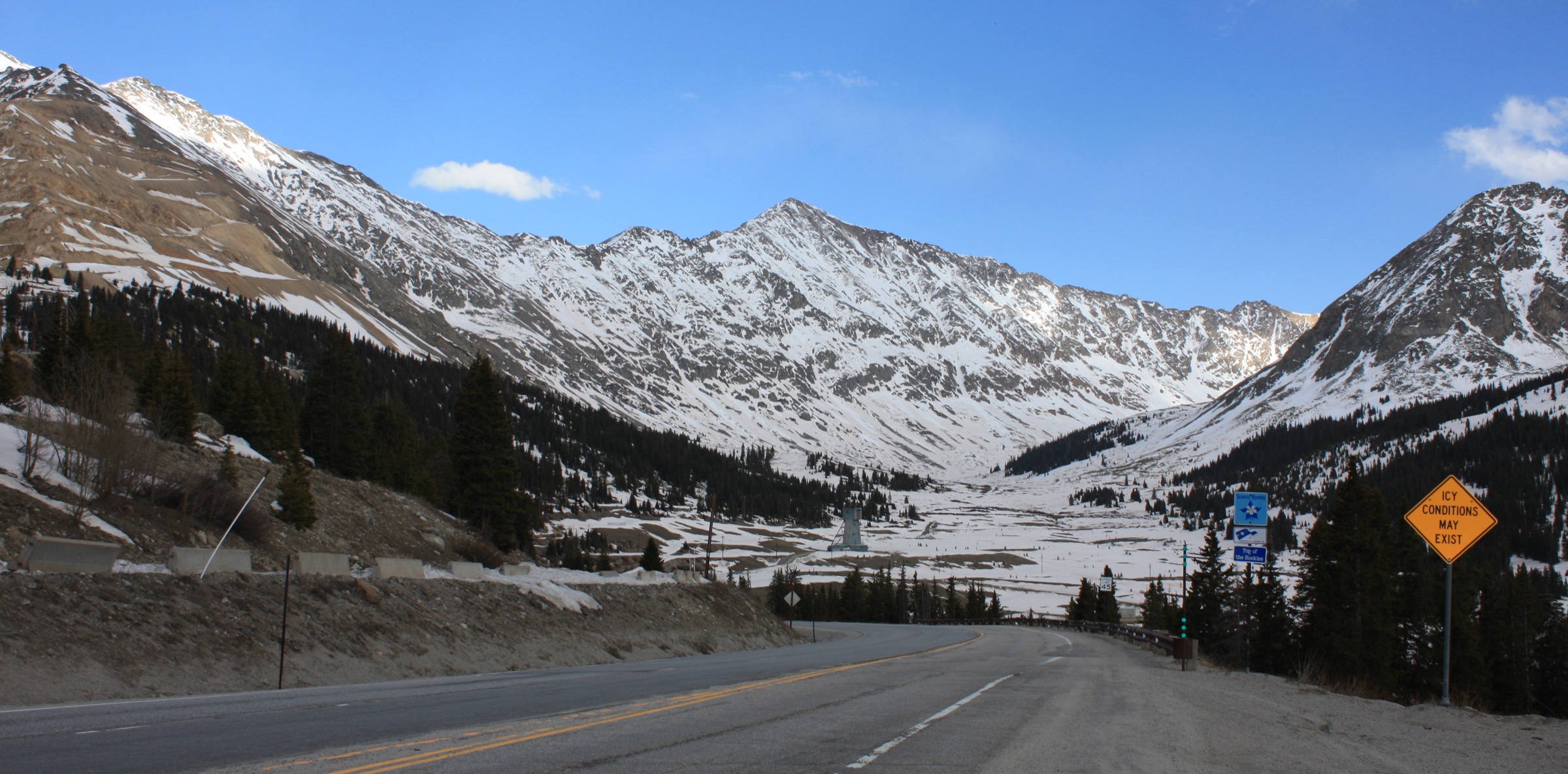
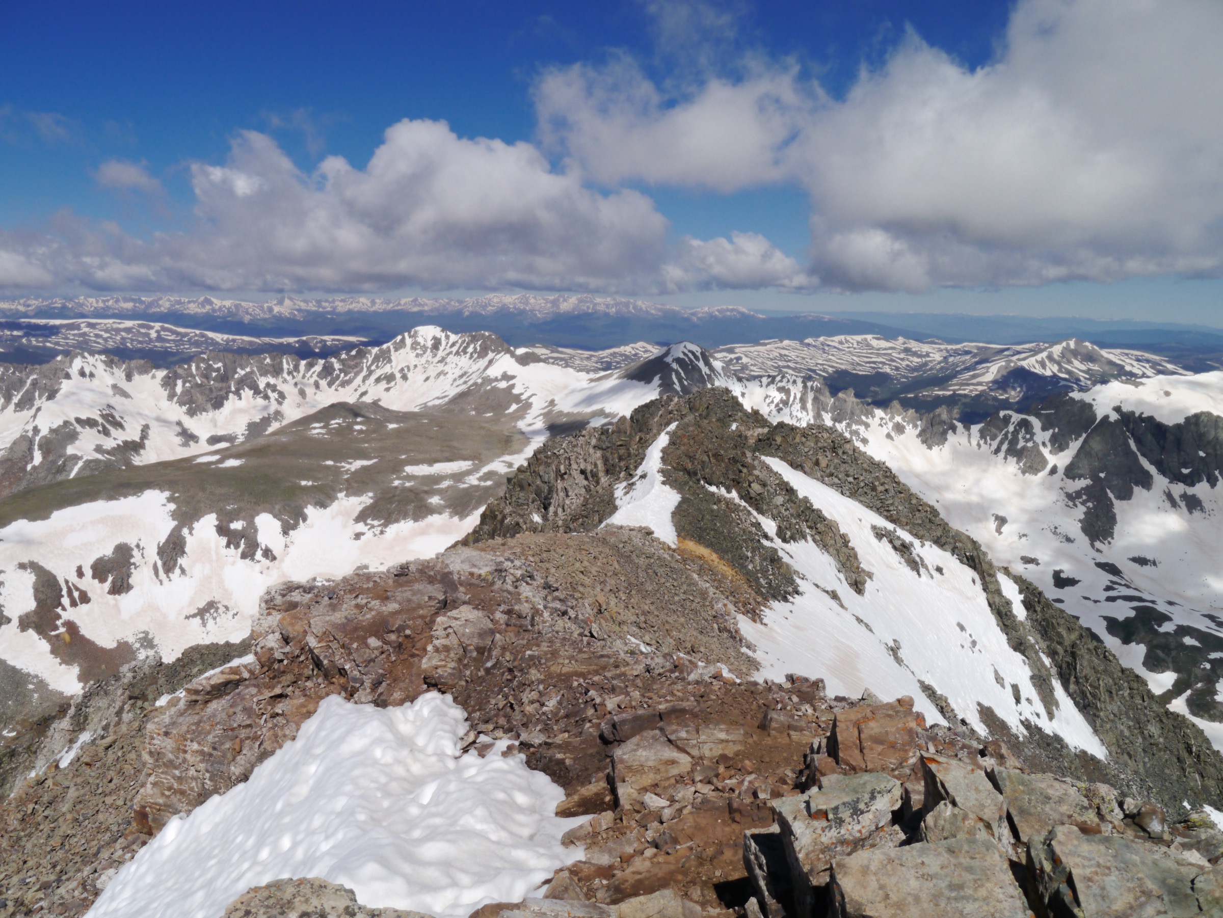
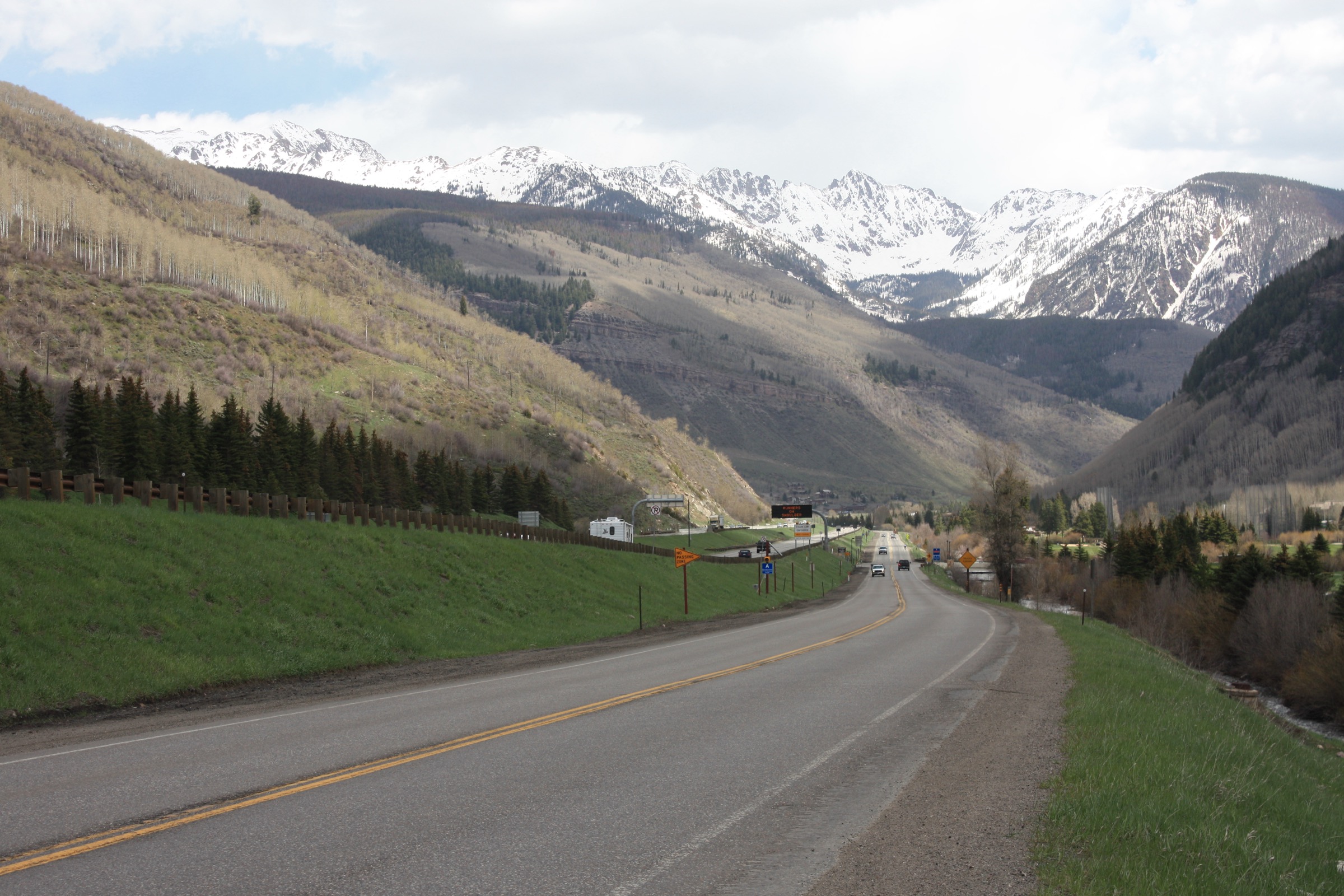
The Gore Range is a rugged, largely trailless north–south crest in central Colorado that runs from Interstate 70 near Vail and Silverthorne north toward Kremmling and the head of the Blue River. Its highest summits — Mount Powell (4,138 m) and Eagles Nest (4,090 m) — sit inside the Eagles Nest Wilderness, a 54,680 ha reserve designated in 1976 and jointly managed by the Dillon and Holy Cross Ranger Districts of the White River National Forest. Most peaks north of Powell are unnamed and known only as “Peak A” through “Peak V” of the Gore letter-peaks — a naming convention that reflects how little of the crest carries official topography.
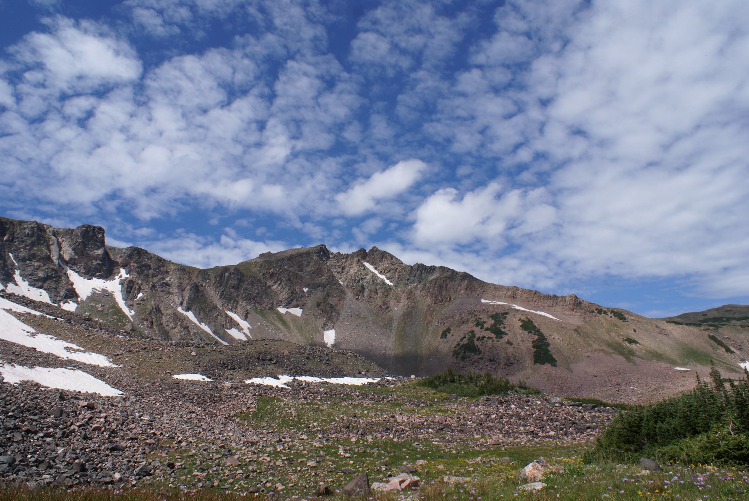
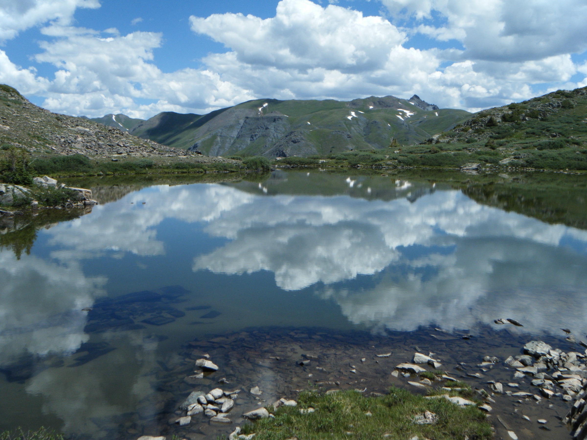
Geologically the range is built from Precambrian gneiss, granite and quartz-monzonite basement rock uplifted 10–20 million years ago and later carved by Pleistocene glaciation into steep cirques, deep U-shaped valleys and jagged summit ridges. The contrast with the neighbouring Sawatch Range, whose broad tundra summits carry maintained trails and heavy foot-traffic, is immediate: the Gore is smaller in area but far more angular, with fewer maintained trails, less signage and much lighter use above treeline. There is no trans-range hiking route open to non-scramblers.
Approaches follow single valley trails from the Blue River and Vail sides. Booth, Pitkin, Deluge and Gore Creek run out of East Vail; Meadow Creek and North Tenmile Creek enter from Frisco; the Rock Creek, South Willow and Cataract drainages open up between Silverthorne and Green Mountain Reservoir; and the Piney River drains the range’s west face from Piney River Ranch at the end of the Red Sandstone road. Above treeline, tread becomes faint, cairned or absent, and true off-trail scrambling is common on the letter peaks. The best hiking window is late June to early October; high cirques often hold significant snow until mid-July, and September brings golden aspen and reduced afternoon storms.
Main hiking centres are Vail (I-70 exit 180), Frisco and Silverthorne (exits 201–205), and Piney River Ranch on FR-700, roughly 18 km of rough dirt road from Vail. Summer afternoons produce fast-building thunderstorms; alpine sections should be cleared by early afternoon. The range sits in black-bear and mountain-lion country, and moose are increasingly present in willow-choked valleys such as the Piney and Meadow Creek. Eagles Nest Wilderness regulations apply on every trail listed here: dogs on a leash no longer than 1.8 m, group size capped at 15 people plus stock, no campfires above 3,353 m or within 400 m of any lake, and self-issue wilderness registration at trailhead kiosks. Confirm the current status of Meadow Creek Trailhead and any seasonal closures with the Dillon Ranger District before travel.
For neighbouring ranges within the same central Colorado orbit, see the Tenmile Range across Silverthorne and Frisco, and the Holy Cross Wilderness immediately south of the Vail Valley.
See also: Tenmile Range, Colorado day-hikes (Quandary, McCullough Gulch, Peak 1) · Park Range and Steamboat, Colorado day-hikes.
Selection rationale
Five day-hikes are presented across the range’s principal hiking landscapes and access corridors. Booth Falls is the accessible East Vail waterfall day; Pitkin Lake is the strenuous East Vail cirque-lake classic; Eccles Pass via Meadow Creek is the signature pass traverse from the Frisco / I-70 side onto the crest of the Gore Range Trail #60; Upper Cataract Lake is the standout backcountry lake day of the northern Gore, reached from Green Mountain Reservoir; and Upper Piney River Falls provides the west-side option from the iconic Piney Lake trailhead.
Deluge Lake and Gore Lake are stronger candidates only for very fit day-walkers and are covered in the routes-excluded section. Five near-identical East Vail cirque hikes are deliberately avoided in favour of a mix that samples every side of the range: south to Vail, east to Frisco, north to Green Mountain Reservoir and west to Piney River Ranch. The set spans moderate to strenuous, and mixes two waterfall days with a pass and two cirque-lake objectives.
Summary
| # | Hike | Trailhead | Route type | Distance | Gain | Max elevation | Difficulty |
|---|---|---|---|---|---|---|---|
| 1 | Booth Falls | Booth Falls (East Vail) | Out-and-back | 6.4–7.2 km | 460 m | 2,865 m | Moderate |
| 2 | Pitkin Lake | Pitkin Creek (East Vail) | Out-and-back | 15.9 km | 910 m | 3,463 m | Strenuous |
| 3 | Eccles Pass via Meadow Creek | Meadow Creek (Frisco) | Out-and-back | 16.3 km | 845 m | 3,633 m | Strenuous |
| 4 | Upper Cataract Lake | Surprise Trailhead (Green Mountain Reservoir) | Out-and-back | 16.9 km | 730 m | 3,270 m | Strenuous |
| 5 | Upper Piney River Falls | Upper Piney (Piney River Ranch) | Out-and-back | 9.5 km | 210 m | 2,915 m | Moderate |
1. Booth Falls
Snapshot
Itinerary
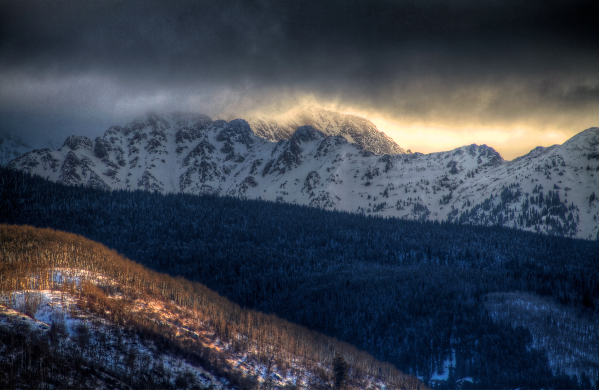
From the trailhead sign at the end of Booth Falls Road the route enters the Eagles Nest Wilderness within the first few metres and climbs steeply through aspen and Douglas-fir on a well-defined single-track. The path traces the west side of Booth Creek, briefly opening into meadows with views of the East Vail cirque above. After roughly 3.2 km and about 460 m of gain the trail reaches the base of Booth Falls, an 18 m cascade set among granite walls. Most day-walkers turn round here. The tread continues considerably higher to Booth Lake at 3,499 m — a further 5.6 km and ~915 m of gain — but that extension is a full-day objective and is more usually described under the Booth Lake Trail #1885.
Why it is essential
The Booth Falls approach is the shortest, most accessible day-hike into the Vail-side cirques of the Gore Range and combines a genuine wilderness setting with the range’s most-visited waterfall. It is regularly cited by the Town of Vail, the Colorado Mountain Club and the White River National Forest as the entry-level Gore Range hike, and offers the same aspen–conifer–granite character seen on the harder East Vail objectives without the alpine commitment.
Equipment
- Sturdy hiking shoes for the sustained climb and the rocky upper section
- Trekking poles — helpful on descent
- 1.5–2 L water
- Bear-aware food handling (black-bear country)
- Weatherproof outer layer for afternoon showers
Hazards and notes
- The trail begins with limited flat terrain and climbs steeply for the first 1.5 km.
- Wet rock at the falls has produced serious slips in the past; do not scramble on the slick ledges above the plunge pool.
- Eagles Nest Wilderness rules apply from the trailhead: 1.8 m leash for dogs, group size limit of 15 including stock, no fires above 3,353 m or within 400 m of any lake.
- There is absolutely no parking at the trailhead — the Town of Vail actively tows; use the free ECO or Town of Vail East Vail shuttle from the Vail Transportation Center.
- Cell coverage is patchy in the drainage.
2. Pitkin Lake
Snapshot
Itinerary
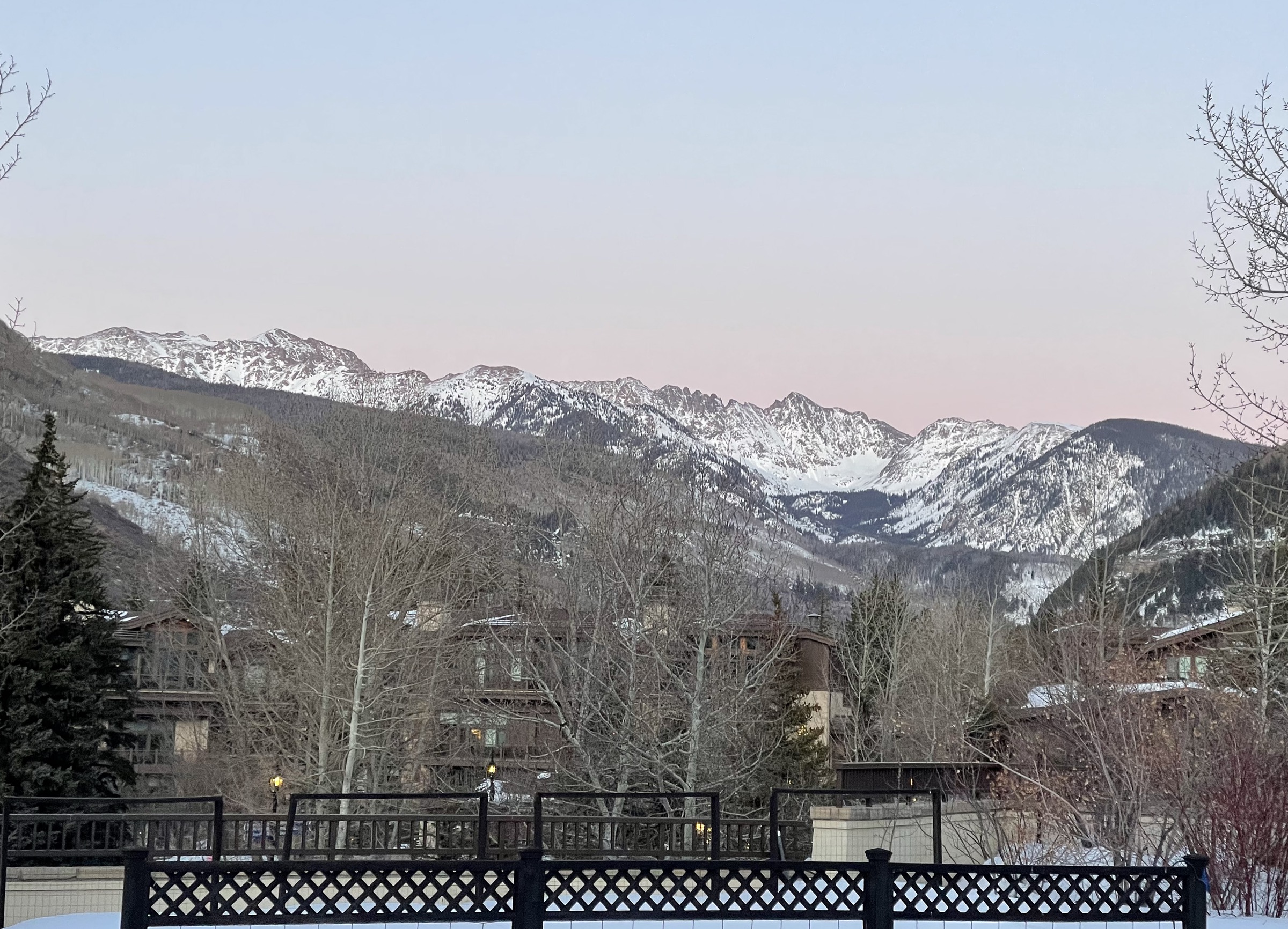
The Pitkin Creek Trail starts on the north side of I-70 and climbs briskly through aspen and lodgepole pine, gaining more than 150 m in the first kilometre. After crossing into the Eagles Nest Wilderness the tread eases as it enters the willow-lined meadows of lower Pitkin Creek, passing two waterfalls at roughly 3.5 km and 5.5 km from the trailhead. The route then re-enters forest for a steady climb, breaks out above treeline at around 3,300 m, and finishes with a switchbacked pull into the upper cirque. Pitkin Lake fills a broad glacial basin at 3,463 m beneath a wall of unnamed 13ers — “Peak I” and “Peak J” of the Gore letter peaks. Return is by the same line.
Why it is essential
Pitkin Lake is the archetypal Gore Range cirque-lake day-hike: a long, sustained climb through changing forest zones to a large alpine lake set below unclimbed-looking granite towers. It shows the range’s essential character — deep valleys, granite headwalls, minimal above-treeline signage — without requiring off-trail scrambling. The Colorado Mountain Club, 5280 Magazine and the Town of Vail all list it among the region’s signature strenuous days.
Equipment
- Sturdy boots
- Trekking poles for the steep opening kilometre and the descent
- Warm layer and shell for the exposed upper cirque
- Hat and gloves outside midsummer
- 2.5 L water and a treatment plan
- Headtorch — long day; pre-dawn starts are common
- Microspikes may still be useful into early July in shaded snow patches
- Bear-aware food handling
Hazards and notes
- Very steep opening section, then sustained climbing; altitude gain from ~2,530 m to ~3,463 m is significant for parties who are not acclimatised.
- Afternoon thunderstorms are common in July and August; aim to be leaving the upper cirque by early afternoon.
- Tread is generally clear to the lake but faint through willow sections after rain — carry a map.
- Wilderness regulations as above: 1.8 m leash, group size 15, no fires above 3,353 m or within 400 m of the lake.
- The trailhead lot is small and fills early on summer weekends; use the East Vail bus where possible.
- Cell coverage disappears above the first switchbacks.
3. Eccles Pass via Meadow Creek
Snapshot
Itinerary
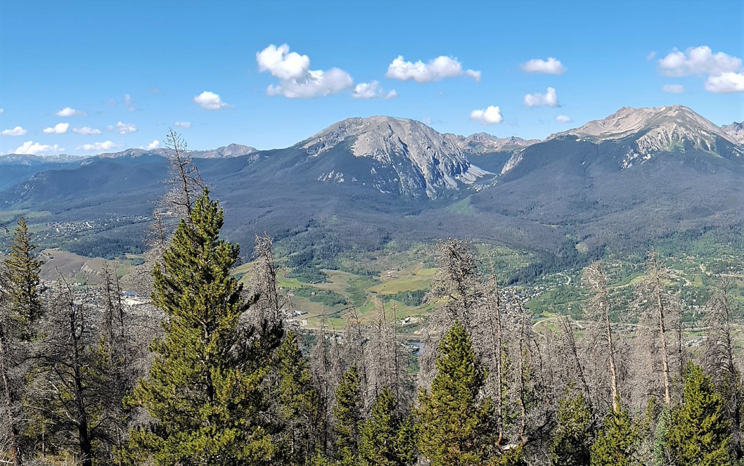
The Meadow Creek Trail #33 leaves the small trailhead lot north of I-70 and climbs through lodgepole pine forest. At roughly 1 km the trail forks; the left branch descends to Lily Pad Lake, while the Eccles Pass route stays right on Meadow Creek. The path climbs steadily along the west bank of the creek through mixed conifer and aspen, then breaks into open willow meadows below Buffalo Mountain (4,014 m). At around 6.4 km the trail meets the Gore Range Trail #60; continue north-east on Meadow Creek up switchbacks to Eccles Pass at 3,633 m. The pass opens abruptly to a large view north into the upper South Willow Creek basin and the letter peaks of the northern Gore Range, framed on the near side by Red Peak and the Eccles Peak spur. Return by the same line.
Why it is essential
Eccles Pass is the signature pass traverse of the Dillon Ranger District portion of the Eagles Nest Wilderness and, uniquely among the range’s practical day-hikes, actually reaches the crest of the Gore Range Trail. From the pass, hikers gain a rare on-foot view into the trailless northern Gore. It is the essential pass day-hike for anyone based in Frisco or Silverthorne, and the natural counterpoint to the Vail-side lake days.
Equipment
- Sturdy boots
- Trekking poles for the sustained descent
- Extra warm layer — the pass is fully exposed to the west wind
- Hat and gloves outside midsummer
- 2.5 L water with a treatment plan
- Headtorch for long days
- Microspikes advisable in June and early October
- Offline map
Hazards and notes
- Sustained elevation gain on a rocky, sometimes rooty tread; the upper section above the Gore Range Trail junction is fully exposed to lightning.
- Clear the pass before afternoon convection — a summer weekend rule of no ridge-time after 12:30 works here.
- Meadow Creek Trailhead is small; USFS has previously closed the first 0.8 km for maintenance during parts of summer 2025 — confirm current access with the Dillon Ranger District before travel.
- Group size limit is 15 including stock; dogs must be leashed to 1.8 m.
- Some sources cite an 11,900 ft (3,627 m) pass elevation, others 11,918 ft (3,633 m); the higher figure follows AllTrails and USGS quad data.
4. Upper Cataract Lake
Snapshot
Itinerary
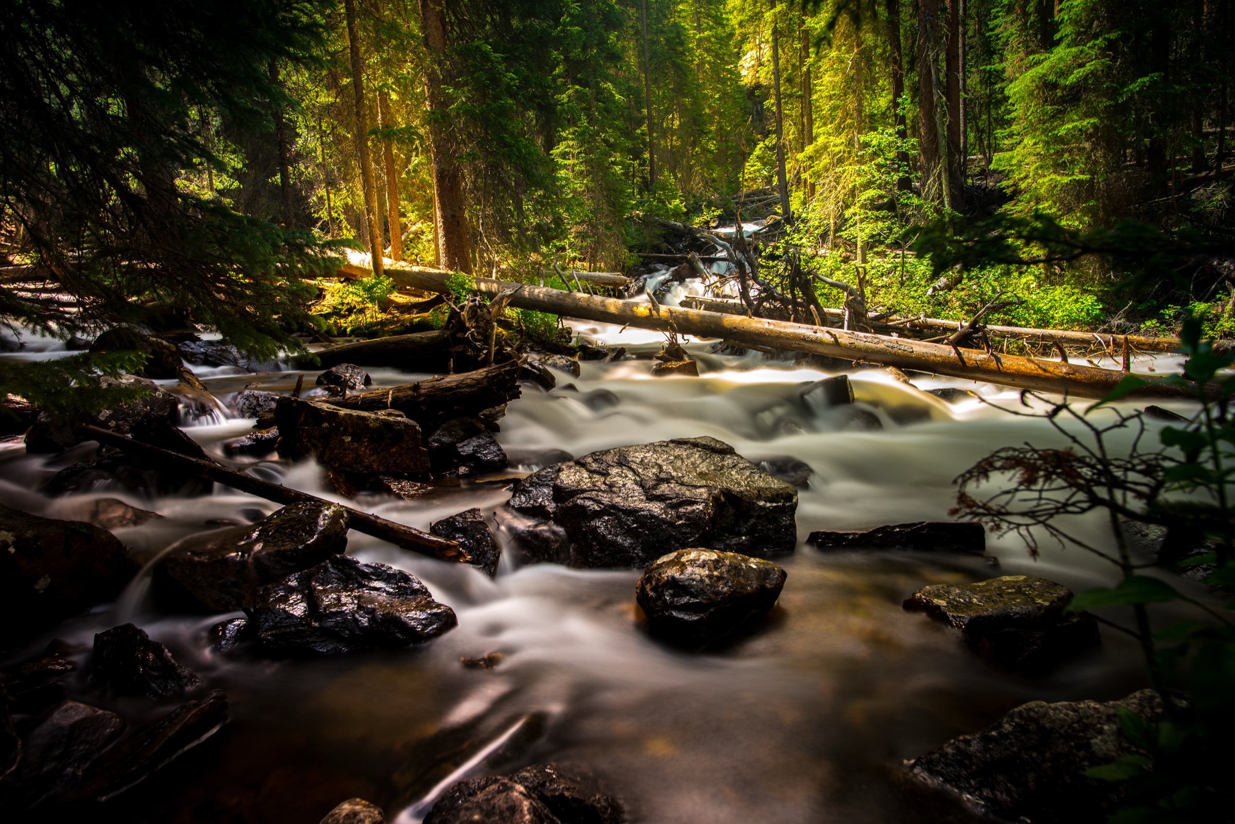
From the Surprise Trailhead, Surprise Lake Trail #62 climbs through lodgepole pine on switchbacks at a steady gradient to reach the small Surprise Lake at about 3 km. Beyond Surprise Lake the trail descends briefly, joins the Gore Range Trail #60 in a broad meadow, and turns north-west onto Upper Cataract Lake Trail #63. Aspen groves and open sedge meadows give distant views south to Eagles Nest Peak and Powell. The final push climbs above treeline briefly to Upper Cataract Lake at 3,270 m, hemmed in by the north-east ridge of Eagles Nest. A 2 km side-trip continues to Cat Lake in the next basin for parties with time in hand. Return is by the same route.
Why it is essential
Upper Cataract Lake is the standout hike of the northern Gore Range — the part of the range closest to Green Mountain Reservoir and the only day-hike in this catalogue that reaches the interior of the wilderness from the northern trailhead network. The lake itself sits directly beneath Eagles Nest, one of the range’s two highest summits, giving a face-on view of the same granite architecture the East Vail cirques show in profile.
Equipment
- Sturdy boots
- Trekking poles
- Warm layer for the treeline lake basin
- 2.5 L water and a treatment plan — on-trail sources are usually plentiful
- Bear-aware food handling
- Self-issue wilderness permit at the trailhead
- Offline map — the Upper Cataract Trail #63 section is faint in meadow crossings
Hazards and notes
- Long day with steady, sustained elevation gain and multiple gentle drainages that add cumulative gain on the return.
- The trail is generally well-tread to Surprise Lake and beyond; the Upper Cataract Trail #63 section can be faint in the meadows — carry a map.
- Trailhead road may be closed by seasonal snow before late May and after mid-October; confirm status with the Dillon Ranger District.
- Backcountry campers must stay at least 30 m from the lake; day-walkers should respect the same buffer for rest stops.
- Group size limit 15; dogs on 1.8 m leash.
- Moose are increasingly reported in willow meadows on this route; give them a wide berth.
5. Upper Piney River Falls
Snapshot
Itinerary
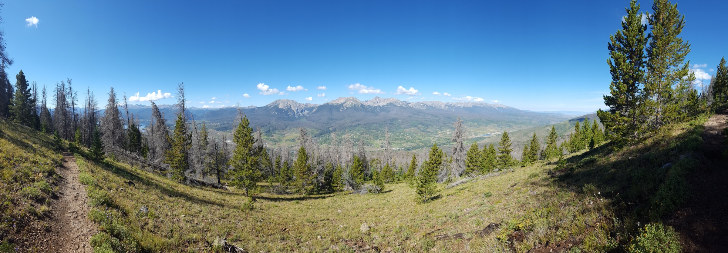
From the trailhead outside Piney River Ranch at the western end of Piney Lake, the Upper Piney River Trail #1885 traces the north shore of the lake, then continues east through open willow meadows along the Piney River. The route is unusually gentle for the range for its first 3 km, gaining and losing small elevation across meadow benches with wide views of the trailless west face of the Gore Range crest — dominated by Mount Powell. After the meadows the tread climbs modestly through aspen and mixed conifer, crosses several small drainages on log planks, and drops slightly into the river bed to reach Piney River Falls, a broad cascade set among granite boulders. The full trail continues another 6 km to Upper Piney Lake and Knee Knocker Pass; that extension is a long, strenuous day and not the objective here.
Why it is essential
The Piney River drainage is the definitive west-side view of the Gore Range: open meadows framed by Powell and the letter peaks, with no comparable landscape elsewhere in the range. The falls turnaround gives access to this landscape as a moderate day-hike, in contrast to the East Vail cirques, which uniformly require sustained climbing. Piney Lake itself is repeatedly cited in tourism literature as one of the Vail Valley’s most iconic viewpoints.
Equipment
- Sturdy hiking shoes for wet meadow sections and log crossings
- Insect repellent — the willow meadows produce dense mosquitoes into August
- 2 L water with a treatment plan
- Bear-aware food handling
- Weatherproof outer layer
- FR-700 (Red Sandstone Road) has rough sections; ordinary passenger cars can usually reach the trailhead in dry conditions, but confirm with the Holy Cross Ranger District after rain
Hazards and notes
- Moose are common in the Piney meadows; keep dogs leashed and give animals wide space.
- Willow sections can be very buggy in July.
- The route enters Eagles Nest Wilderness — all wilderness regulations apply.
- The final drop to the falls is on a slick, rooty side-path; footing on wet log crossings is the main hazard.
- Cell coverage is essentially absent from the trailhead onward.
- Piney River Ranch is private; access to the trailhead crosses ranch property but is a public easement to the National Forest — respect ranch signs and paid-parking arrangements where posted.
Routes excluded as out of scope
The following sit inside or adjacent to the Gore Range but fall outside a day-hike entry, are too duplicative of the five above, or are better understood as overnights or scrambles.
- Deluge Lake. A very strenuous 15 km East Vail cirque day with roughly 1,100 m of gain. Editorially it duplicates the Pitkin Lake landscape at higher cost, and is best treated as a step up from the Pitkin day for very fit walkers rather than as an additional entry.
- Gore Lake and Gore Creek. The Gore Creek Trail from East Vail to Gore Lake is a classic Gore Range destination but is 20+ km round-trip with sustained gain, and is more commonly walked as an overnight than a single-push day.
- Booth Lake. The upper continuation of the Booth Falls route reaches Booth Lake at 3,499 m after ~11 km and ~1,375 m of gain from the trailhead — a hard day, and duplicative of the Pitkin Lake cirque objective in scale and character.
- Lily Pad Lake. A short easy walk from the Meadow Creek Trailhead (or the Lily Pad Trailhead near Wildernest), but too small in scale and too duplicative of the lower Meadow Creek forest to earn a separate entry when Eccles Pass covers the same trailhead.
- Willow Lakes and Salmon Lake. Long backcountry lake days from the Mesa Cortina Trailhead near Silverthorne — better as overnights, and generally covered by the Gore Range Trail through-hike literature.
- Piney Lake shoreline only. The short walk from Piney River Ranch around the west end of Piney Lake is scenic but too brief to stand alone; it is subsumed by the Upper Piney River Falls itinerary.
- North Tenmile Creek to Uneva Pass. A long approach from Frisco onto the southern Gore Range Trail — a fine walk, but sits on the boundary with the Tenmile Range and is covered in that entry.
- Off-trail letter-peak ascents. Peaks C, N, Q and the rest of the Gore letter series are non-technical scrambles by their easiest lines but require route-finding, faint tread and often loose terrain — outside the scope of a hiking catalogue.
Further reading
| Source | URL |
|---|---|
| USFS Eagles Nest Wilderness — official page | fs.usda.gov |
| USFS Gore Range Trail #60 | fs.usda.gov |
| USFS Upper Piney Trailhead #1885 | fs.usda.gov |
| Wilderness Connect — Eagles Nest Wilderness | wilderness.net |
| Town of Vail — Booth Falls and Pitkin Creek trail information | vail.gov |
| Discover Vail — Booth Lake Trail overview | discovervail.com |
| Friends of the Dillon Ranger District — Meadow Creek FDT 33 factsheet | fdrd.org |
| Colorado Mountain Club — Gore Range trip pages | cmc.org |
| AllTrails — Eccles Pass to Meadow Creek Trail | alltrails.com |
| AllTrails — Upper Cataract Lake Trail | alltrails.com |
| AllTrails — Upper Piney River Falls Trail | alltrails.com |
| Wikipedia — Eagles Nest Wilderness | en.wikipedia.org |
| Wikipedia — Gore Range | en.wikipedia.org |
| Wikipedia — Mount Powell (Colorado) | en.wikipedia.org |
| Wikimedia Commons — Gore Range category | commons.wikimedia.org |
| OpenStreetMap (ODbL 1.0) | openstreetmap.org |