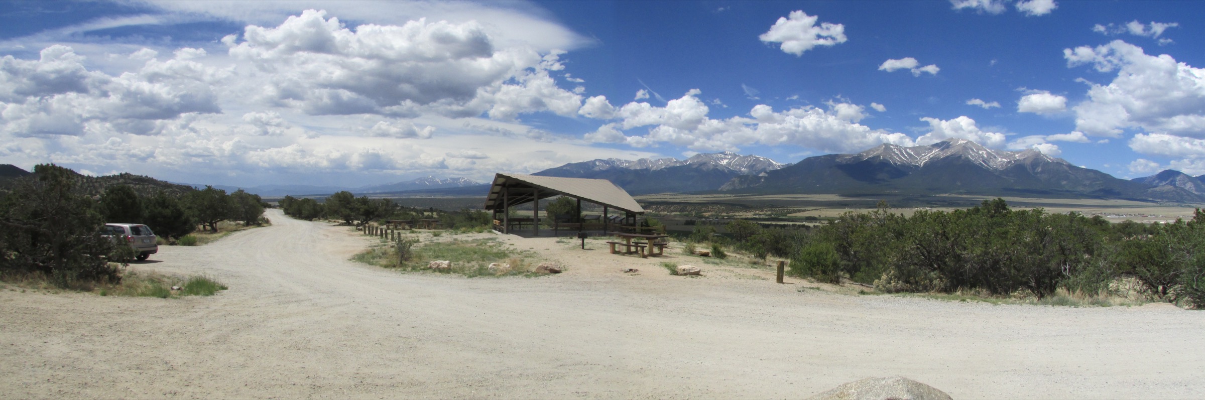
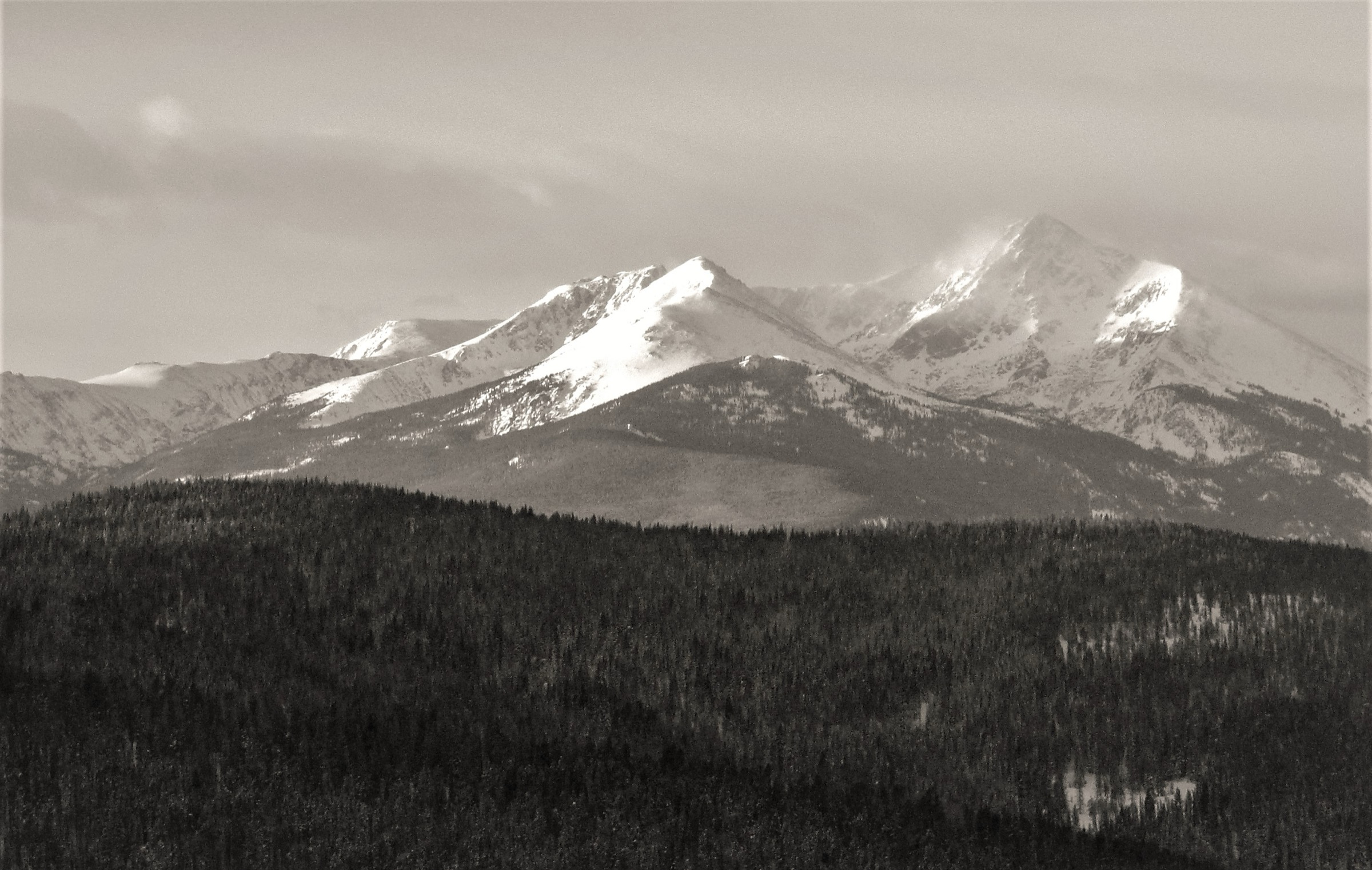
Regional overview
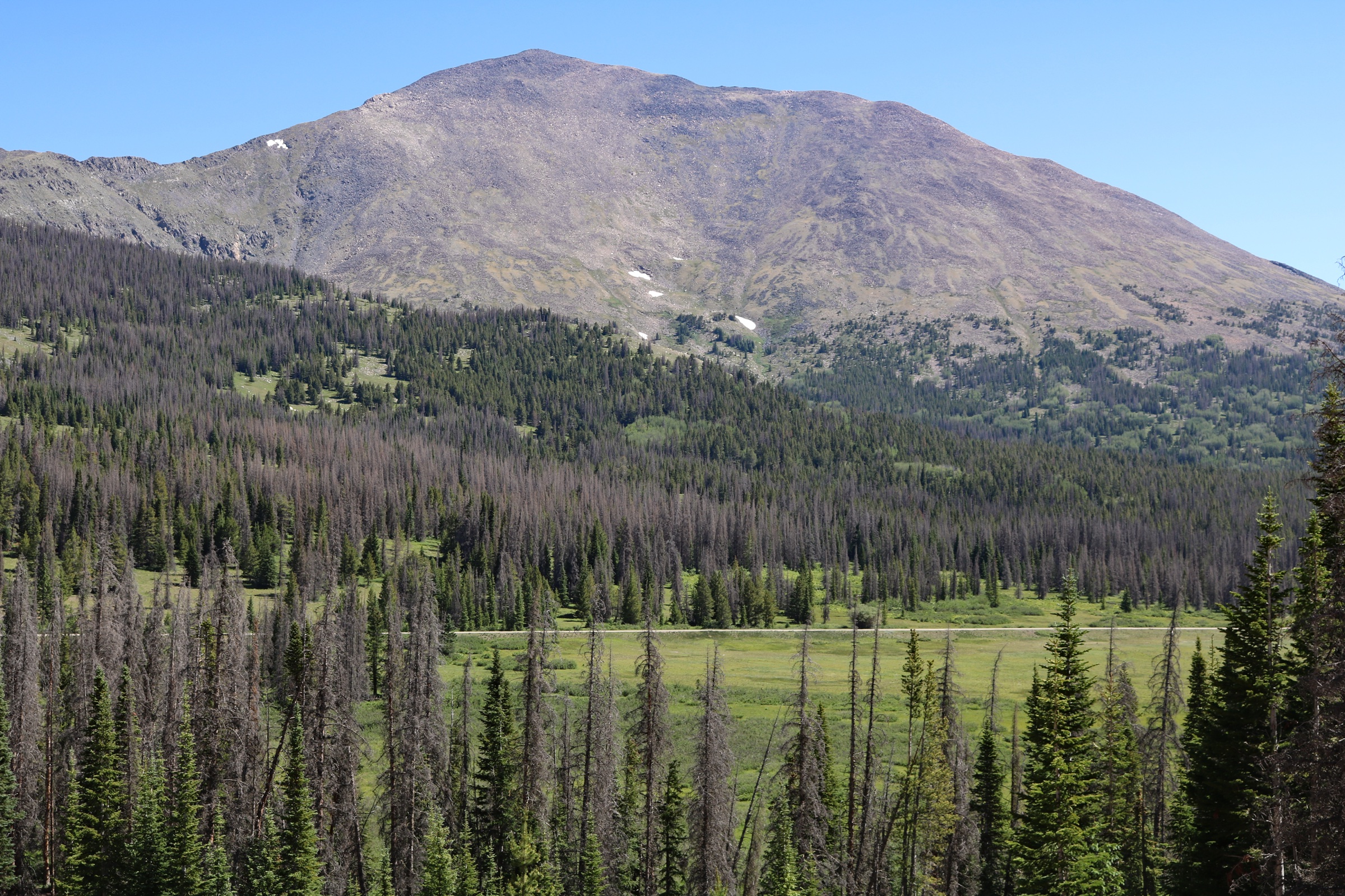
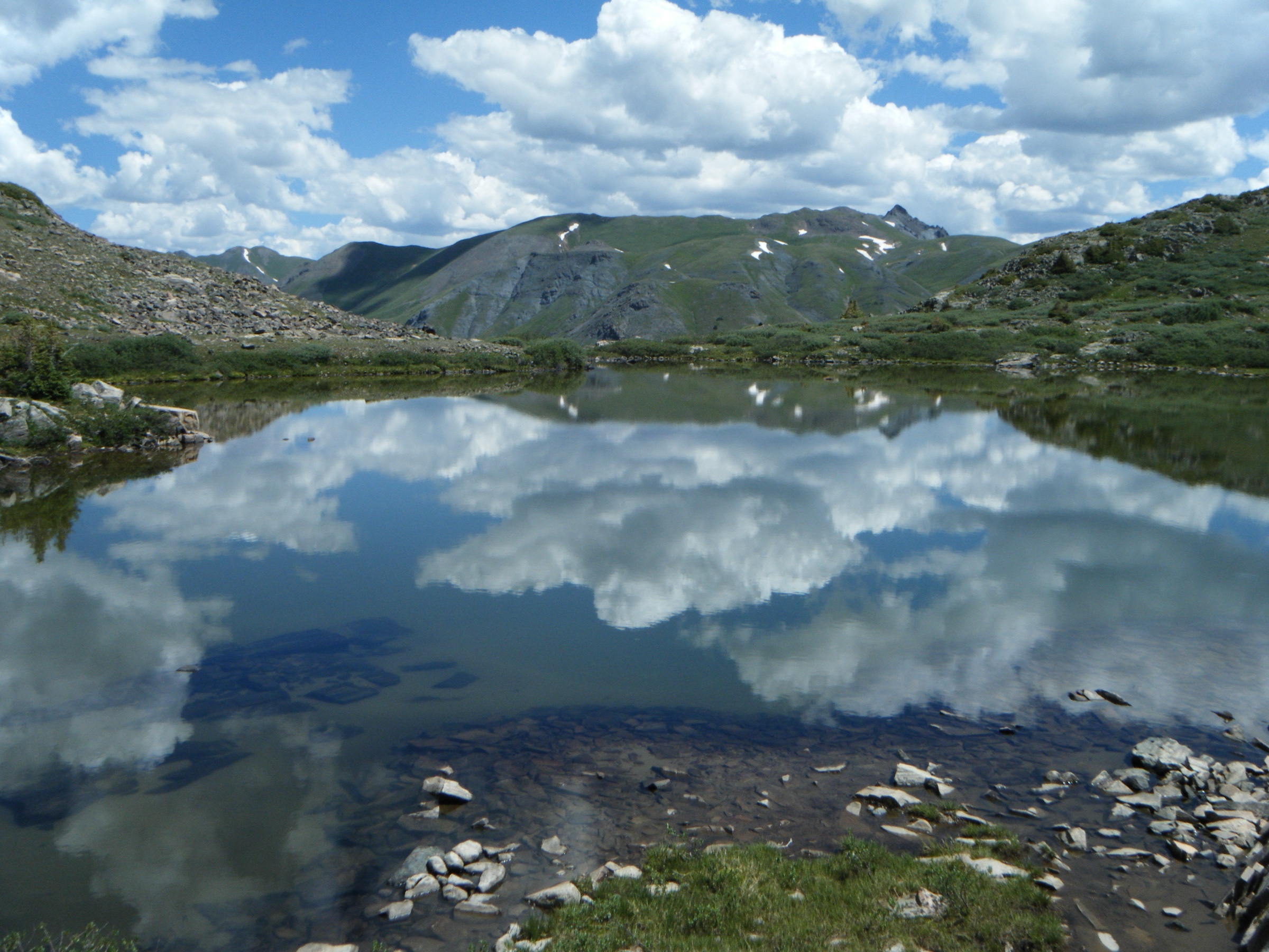
Holy Cross Wilderness protects a high, glaciated-looking block of the northern Sawatch Range west of Vail, Minturn, Red Cliff and Leadville. The walking character is steep and alpine: long forest approaches, high passes, lakes set in granite basins, brief but committing stretches above treeline, and frequent afternoon-storm exposure. The best-known objective is Mount of the Holy Cross, but the wilderness is just as defined by lake basins such as Missouri Lakes, Fancy Lake, Lake Constantine and Whitney Lake.
Several official Forest Service pages were not directly readable when this article was compiled. The route statistics below come from structured AllTrails records, and official White River National Forest links are listed for current rules, road status and parking before any trip. For the adjacent Leadville-side Sawatch — Mount Elbert, Mount Massive, Turquoise Lake and Twin Lakes — see the Mount Elbert and the Leadville Sawatch essentials.
Selection rationale
The five hikes balance the wilderness’ essential themes: one iconic fourteener, one classic Holy Cross viewpoint, one lake-and-pass loop, and two shorter lake-basin routes that represent the quieter Homestake and Fall Creek sides of the wilderness. Routes were kept within normal strenuous day-hike limits under settled summer conditions; winter and shoulder-season snow turn several of them into mountaineering or navigation problems rather than hikes.
Summary table
| # | Hike | Route type | Distance | Gain | Max elevation | Difficulty |
|---|---|---|---|---|---|---|
| 1 | Mount of the Holy Cross Trail | Out-and-back | 18.2 km | 1,675 m | 4,270 m | Hard |
| 2 | Fall Creek to Notch Mountain | Out-and-back | 16.7 km | 864 m | 3,991 m | Hard |
| 3 | Missouri Lakes and Fancy Lakes Loop | Loop | 14.2 km | 794 m | 3,780 m | Hard |
| 4 | Lake Constantine via Fall Creek Trail | Out-and-back | 13.0 km | 509 m | 3,489 m | Moderate |
| 5 | Whitney Lake Trail | Out-and-back | 8.4 km | 558 m | 3,340 m | Hard |
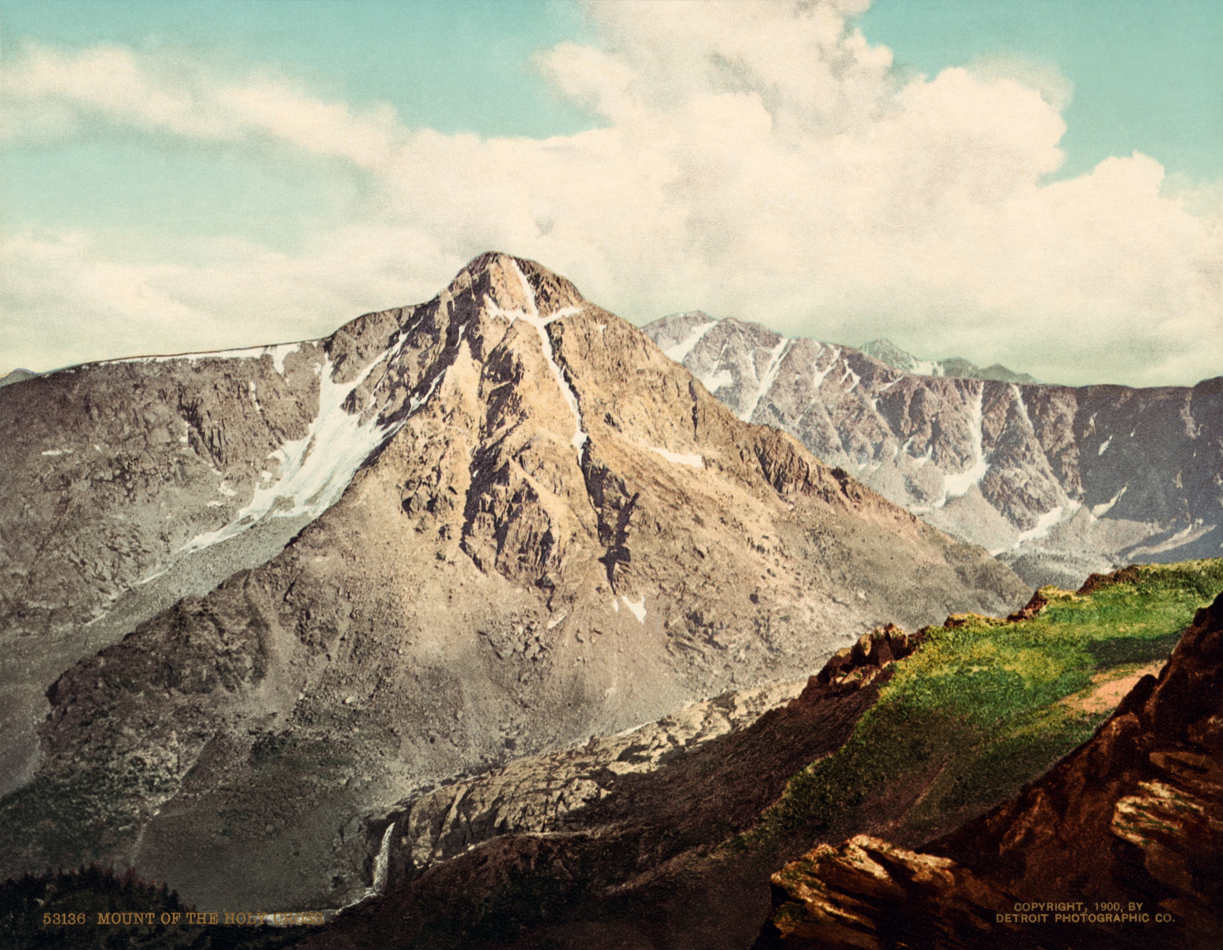
1. Mount of the Holy Cross Trail
Snapshot
Itinerary
From the Half Moon / Fall Creek trailhead area, climb through forest to Half Moon Pass, drop into the East Cross Creek basin, then climb steeply toward Mount of the Holy Cross. Above treeline the route follows cairned talus and scree to the summit. The return requires reclimbing Half Moon Pass, a common source of late-day fatigue.
Why it is essential
Mount of the Holy Cross is the landmark summit of the wilderness and one of Colorado’s most famous fourteeners. The route combines a big forest approach, a named pass, a committing basin descent, high alpine talus, and the historical image of the cross-shaped snow couloir on the mountain’s east face.
Equipment, hazards and notes
Mountain boots or firm trail shoes, poles, warm and wind layers, waterproof shell, sun protection, 2.5–3 L of water or treatment capacity, food, headtorch, offline map and GPS, paper map and compass backup, and an early start. In snow, traction and avalanche or snow-travel judgement may be required; this is not a simple summer hike in winter conditions. Altitude, lightning, route-finding above treeline, loose talus, exhaustion on the return over Half Moon Pass, seasonal road closure and unreliable cell service are the primary issues.
GPX / route file
| Source | URL | Format | Reuse status |
|---|---|---|---|
| AllTrails — Mount of the Holy Cross Trail | alltrails.com | Source map | Reference only |
| 14ers.com — Mount of the Holy Cross standard route | 14ers.com | Route page | Candidate; site returned 406 in this pass |
| OpenStreetMap — search “Mount of the Holy Cross” | openstreetmap.org | OSM | Cross-check only |
Further reading
- White River National Forest — Holy Cross Wilderness regulations (PDF)
- White River NF — Tigiwon / Half Moon access
- Wikipedia — Mount of the Holy Cross
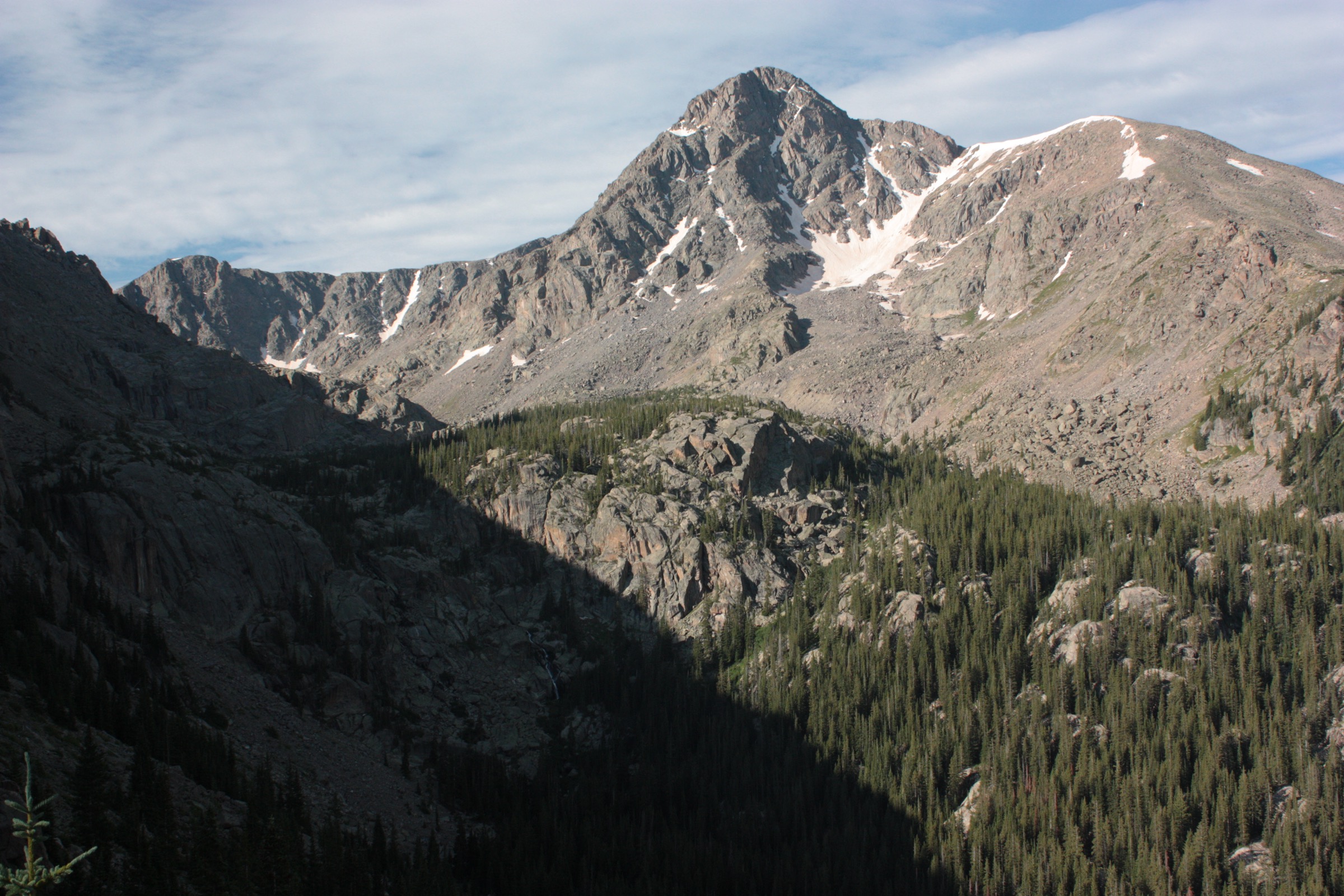
2. Fall Creek to Notch Mountain
Snapshot
Itinerary
Start on Fall Creek Trail from the Half Moon / Fall Creek trailhead area, enter Holy Cross Wilderness, then climb toward Notch Mountain. The upper route reaches high alpine slopes and a celebrated viewpoint toward Mount of the Holy Cross. Return by the same line.
Why it is essential
Notch Mountain is the classic non-summit viewpoint for Mount of the Holy Cross. It gives a high, direct perspective on the famous east face without requiring the full fourteener ascent.
Equipment, hazards and notes
Sturdy footwear, poles, warm and wind layer, waterproof shell, sun protection, water treatment, food, headtorch, offline map and GPS with paper backup. The climb is long, high and exposed to storms once above forest. The north-side ascent is the more difficult side. Wilderness regulations, road status and any camping or parking rules should be checked with the Forest Service before travel.
GPX / route file
| Source | URL | Format | Reuse status |
|---|---|---|---|
| AllTrails — Fall Creek to Notch Mountain | alltrails.com | Source map | Reference only |
| OpenStreetMap — search “Notch Mountain Colorado” | openstreetmap.org | OSM | Cross-check only |
Further reading
- White River National Forest — Holy Cross Wilderness regulations (PDF)
- Wikipedia — Notch Mountain Shelter
3. Missouri Lakes and Fancy Lakes Loop
Snapshot
Itinerary
From the Missouri Lakes trailhead, the loop crosses into Holy Cross Wilderness and climbs through forest and creek-side meadows toward Fancy Lake. It then crosses the high divide into the Missouri Lakes basin and descends by Missouri Creek, passing a chain of alpine lakes before returning to the trailhead.
Why it is essential
This is the most compact classic lake-and-pass circuit in Holy Cross Wilderness. It represents the wilderness away from the Mount of the Holy Cross crowds: flower meadows, granite basins, cold lakes, and a satisfying loop rather than an out-and-back.
Equipment, hazards and notes
Sturdy footwear, poles, warm and wind layer, waterproof shell, sun protection, water treatment, food, offline map and GPS. Early-season hikers may encounter snowfields on the pass and wet creekside travel. Altitude, lingering snow, thunderstorms, muddy trail sections and route-finding across snowed-over trail are the main concerns. The loop is high enough that a clear forecast and an early start matter even though the distance is moderate.
GPX / route file
| Source | URL | Format | Reuse status |
|---|---|---|---|
| AllTrails — Missouri Lakes and Fancy Lakes Loop | alltrails.com | Source map | Reference only |
| OpenStreetMap — search “Missouri Lakes Fancy Lakes” | openstreetmap.org | OSM | Cross-check only |
Further reading
- White River National Forest — Holy Cross Wilderness regulations (PDF)
- Wikipedia — Holy Cross Wilderness
4. Lake Constantine via Fall Creek Trail
Snapshot
Itinerary
Follow Fall Creek Trail through shaded forest and valley terrain, then continue into more open high country toward Lake Constantine. The lake sits below higher Holy Cross Wilderness summits and is a natural turnaround for a day.
Why it is essential
Lake Constantine gives a shorter, less committing Holy Cross lake objective from the Fall Creek side. It is valuable as a moderate alternative to the major summit and pass routes while still reaching the wilderness’ alpine-lake setting.
Equipment, hazards and notes
Trail shoes or boots, poles, waterproof shell, warm layer, sun protection, water treatment, food, offline map and GPS. Road condition, thunderstorms, lingering snow, wet trail and the temptation to push further on are the main issues. Much of the route is remote once beyond the trailhead corridor and should not be treated as a casual outing in poor weather.
GPX / route file
| Source | URL | Format | Reuse status |
|---|---|---|---|
| AllTrails — Lake Constantine via Fall Creek Trail | alltrails.com | Source map | Reference only |
| OpenStreetMap — search “Lake Constantine Colorado” | openstreetmap.org | OSM | Cross-check only |
Further reading
- White River National Forest — Holy Cross Wilderness regulations (PDF)
- Wikipedia — Holy Cross Wilderness
5. Whitney Lake Trail
Snapshot
Itinerary
The trail climbs steadily through aspen and conifer forest into Holy Cross Wilderness, approaches creek terrain, and reaches tree-lined Whitney Lake below Whitney Peak. Return by the same route.
Why it is essential
Whitney Lake is a short but steep lake-basin route that shows the quieter western Homestake character of Holy Cross Wilderness. It adds a compact alpine-lake objective to a selection otherwise dominated by longer summit and pass days.
Equipment, hazards and notes
Sturdy shoes or boots, poles, warm and wind layer, waterproof shell, sun protection, water treatment, food, offline map and GPS. Early-season creek crossings may require caution and willingness to turn around. Steep loose rock, wet footing, afternoon storms and limited cell coverage are also relevant.
GPX / route file
| Source | URL | Format | Reuse status |
|---|---|---|---|
| AllTrails — Whitney Lake Trail | alltrails.com | Source map | Reference only |
| OpenStreetMap — search “Whitney Lake Holy Cross Wilderness” | openstreetmap.org | OSM | Cross-check only |
Further reading
- White River National Forest — Holy Cross Wilderness regulations (PDF)
- Wikipedia — Holy Cross Wilderness