Regional overview
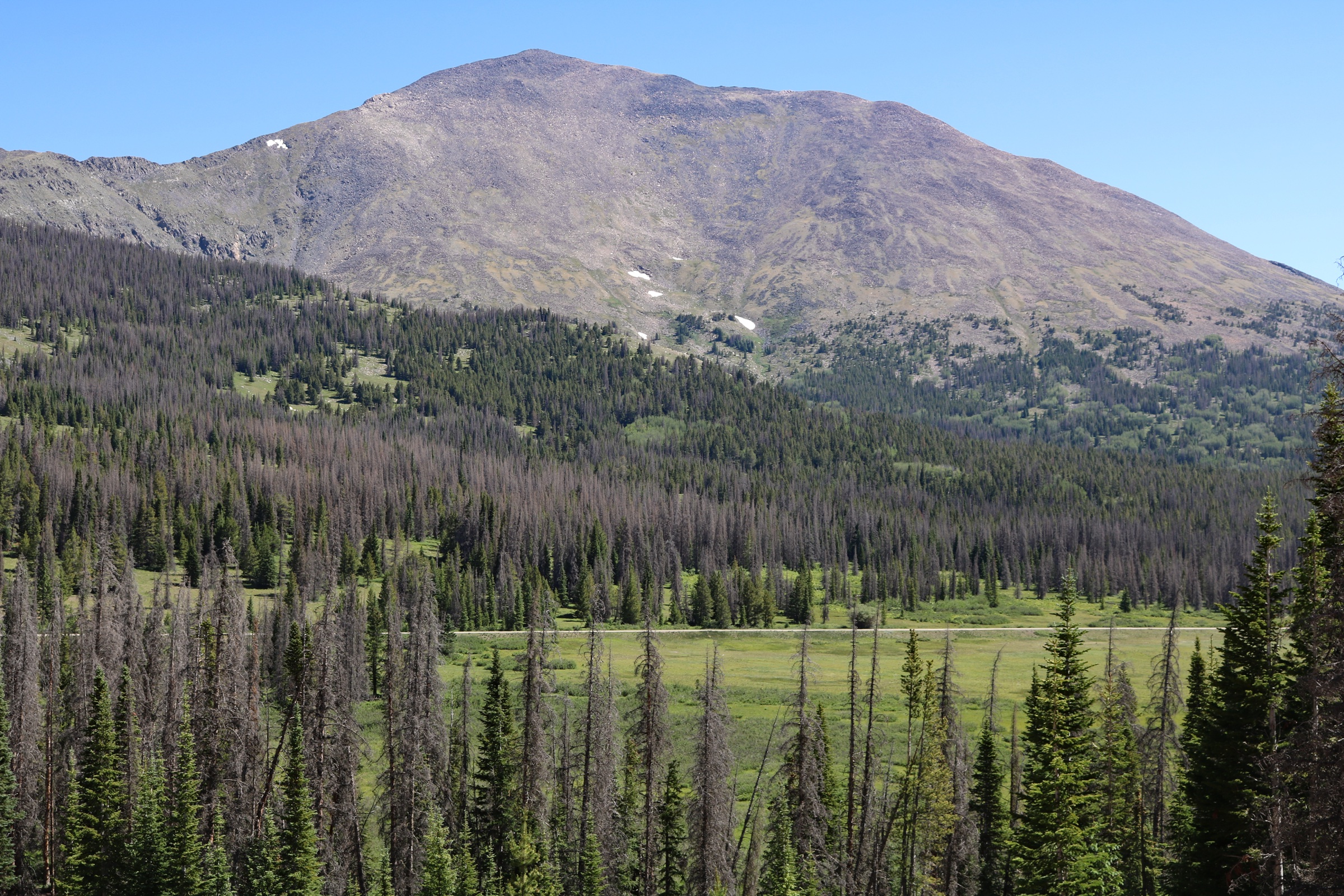
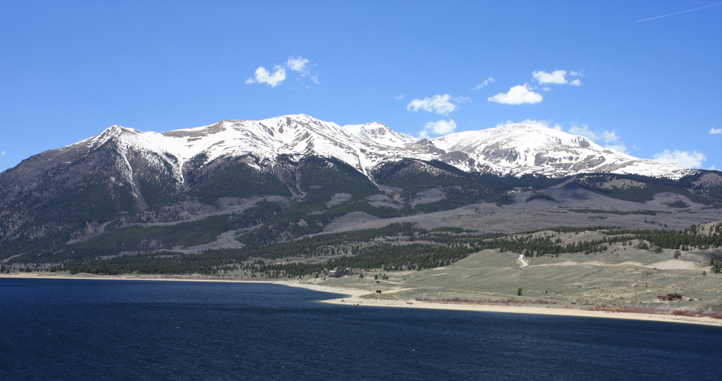
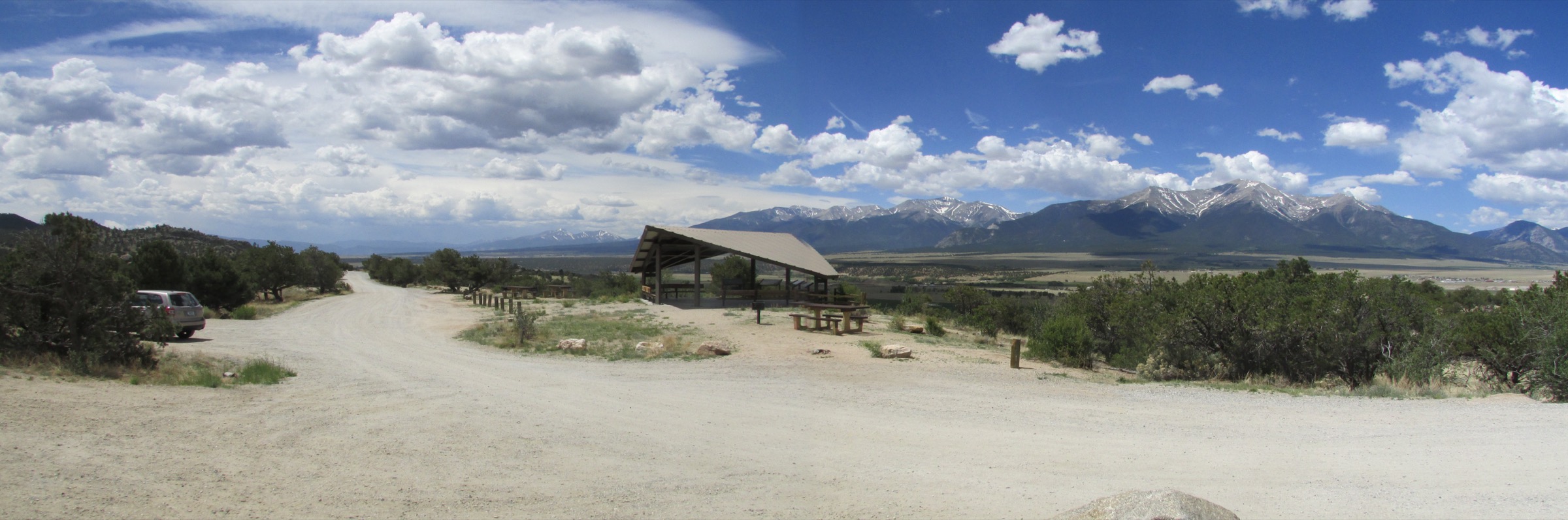
The Collegiate Peaks are the central spine of the Sawatch Range — a near-continuous wall of fourteeners west of Buena Vista, named in the late nineteenth century after the eastern universities of the surveyors who climbed them. Mount Harvard (4,397 m), Mount Yale (4,327 m), Mount Princeton (4,329 m), Mount Columbia (4,300 m) and Mount Oxford (4,313 m) form a tight cluster between the Arkansas valley and the Continental Divide, with Huron Peak (4,268 m) and the Three Apostles standing in a slightly detached high group above Winfield. The roadhead towns — Buena Vista at 2,432 m, the much smaller village of Winfield at 3,094 m — sit at the foot of the range, with Cottonwood Pass (3,696 m) carrying CO-306 across the Divide between them. The Collegiate Peaks Wilderness (672 km², 1980) wraps the heart of the range from Mount Harvard south to Mount Princeton and west to the Continental Divide.
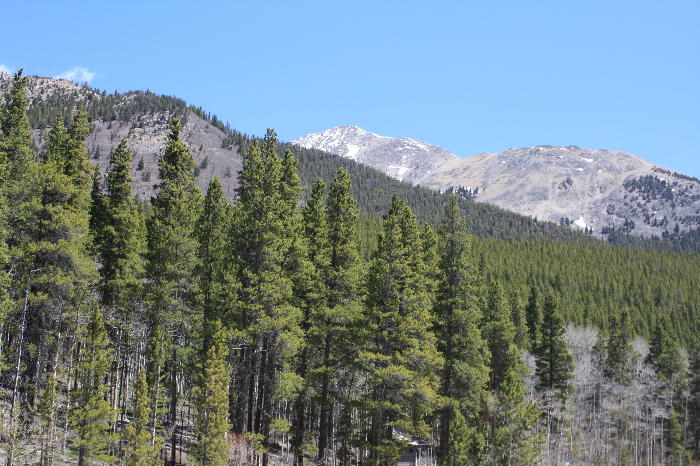
The walking character is dominated by long approaches from forested valley bottoms onto tundra and broad summit ridges, with rough Forest Service road access to the upper trailheads in the North Cottonwood Creek, Denny Creek, Cottonwood Pass and Winfield corridors. Trailheads typically sit between 2,800 and 3,200 m — high enough that altitude is a planning issue from the carpark forward. The hiking mix is more varied than the Leadville Sawatch to the north: alongside the standard fourteener ascents, the upper basins on the Cottonwood Pass and Winfield sides hold a string of strong alpine-lake objectives that work as moderate day-hikes in their own right.
The walking season at altitude runs July to September. The signature summits routinely hold late snow on the upper slopes into the first week of July, and the high basins in the wilderness — Kroenke, Ptarmigan, Lake Ann — keep snow patches well into July in cold years. By the first week of October fresh snow has usually returned to the divide, and the upper Forest Service roads (notably the Denny Creek spur and the Winfield / South Winfield access) begin their seasonal closures. Lower hikes around Cottonwood Pass Road stay walkable from late June to mid-October in normal years, though late-spring mud is universal on the shaded sections.
The two principal hazards are altitude and weather. Trailheads start near 3,000 m and the summits sit above 4,250 m, so serious altitude illness is realistic in unacclimatised parties. Sawatch thunderstorm rules apply across the range: be off summit ridges and exposed passes by lunchtime, especially in late July and August, and treat any building cumulus over the Continental Divide as a signal to descend. The third planning issue is road access: the Denny Creek spur off Cottonwood Pass Road is paved to the trailhead, but the upper Winfield road and the South Winfield access are rough, and the Huron Peak and Lake Ann statistics in particular assume the road is driven to the upper start.
Access is from Denver International Airport in 2.5–3 h via US 285 south through Fairplay and Trout Creek Pass to Buena Vista, or in 2 h from Colorado Springs Municipal Airport via Wilkerson Pass and US 24. Buena Vista has a small Bustang Outrider stop and a seasonal CDOT Outrider service, but there is no public transport to any of the upper trailheads in this catalogue — every hike here assumes a private vehicle.
For neighbouring sub-regions of the Colorado Rockies, see Mount Elbert and Leadville (the higher northern Sawatch around Mount Elbert and Mount Massive), Indian Peaks (the northern Front Range divide above Boulder and Nederland) and Pikes Peak (the southern Front Range high point).
Selection rationale
Five day-hikes are presented across the four main access lines into the Collegiate Peaks. Two summit fourteeners anchor the entry: Mount Yale by the Southwest Slopes from Denny Creek, and Huron Peak by the Northwest Slopes from upper Winfield. Three alpine-lake objectives fill out the catalogue: the Kroenke Lake Trail from the North Cottonwood Creek corridor, the Ptarmigan Lake Trail from Cottonwood Pass Road, and Lake Ann from South Winfield on the western Winfield side. The set is built around route type and access road rather than length alone: two fourteener ascents, two moderate forest-to-basin lake hikes, and one longer western-basin approach.
The other major Collegiate Peaks fourteeners — Mount Harvard, Mount Columbia, Mount Princeton, Mount Belford and Mount Oxford — are excluded because their standard day routes are either substantially longer or less balanced for a five-hike regional set; Harvard and Columbia in particular are usually combined as a long-day traverse rather than separate day-hikes. The Browns Pass loop above Denny Creek is excluded as duplicative of the Mount Yale corridor, and the long Three Apostles approach from Winfield is excluded as a scramble objective rather than a hike.
Summary
| # | Hike | Trailhead | Route type | Distance | Gain | Max elevation | Difficulty |
|---|---|---|---|---|---|---|---|
| 1 | Mount Yale — Southwest Slopes | Denny Creek | Out-and-back | 15.3 km | 1,311 m | 4,327 m | Hard |
| 2 | Huron Peak — Northwest Slopes | Upper Winfield | Out-and-back | 11.3 km | 1,067 m | 4,268 m | Hard |
| 3 | Kroenke Lake Trail | North Cottonwood Creek | Out-and-back | 14.0 km | 511 m | ~3,500 m | Moderate |
| 4 | Ptarmigan Lake Trail | Cottonwood Pass Road | Out-and-back | 10.1–10.9 km | 448–494 m | 3,749 m | Moderate |
| 5 | Lake Ann from South Winfield | South Winfield | Out-and-back | 17.7 km | 488 m | 3,598 m | Moderate–hard |
1. Mount Yale — Southwest Slopes
Snapshot
Itinerary
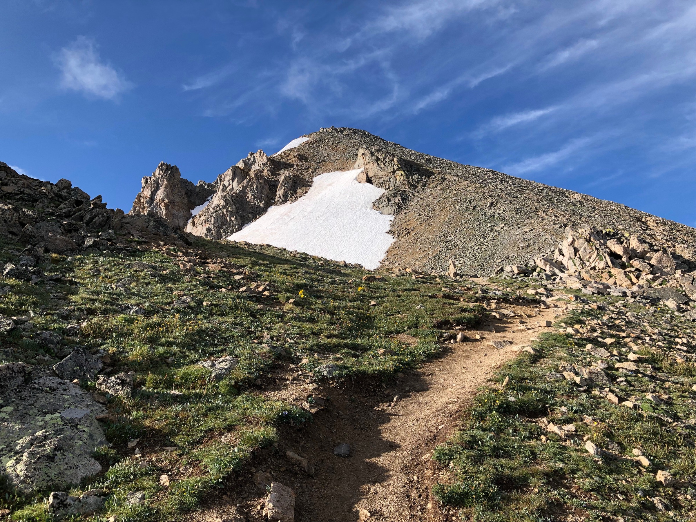
From the Denny Creek Trailhead at ~2,925 m on Cottonwood Pass Road, the route walks east on the Denny Creek Trail through aspen and lodgepole pine, then forks north onto the Mount Yale Trail at ~1.5 km. The trail climbs steadily on a long forested ramp, gaining ~700 m through subalpine fir and Engelmann spruce to the treeline at ~3,650 m. From here the work becomes pure tundra and talus: a long open south-west slope traverses up and across to gain the Southwest Ridge at ~4,150 m, with the cairned route picking a line through coarse blocky talus and small scree patches for the final 200 m of ascent. The summit at 4,327 m is a small rocky plateau marked by a benchmark and a wind-shelter cairn. The view east drops to Buena Vista and the Arkansas valley; the panorama west covers the upper Cottonwood Pass corridor and the central Sawatch crest. Return is by the same line; experienced parties sometimes descend the Southeast Ridge to the Denny Creek basin for variety, but the standard line and the safest descent in poor weather is to retrace the ascent.
Why it is essential
Mount Yale is the defining summit of the Buena Vista side of the Collegiate Peaks: the closest major fourteener to the town, the only one with a fully paved trailhead approach, and the shortest of the three reasonable lines to the top. As the natural anchor hike of any day-walking trip to the central Sawatch — and the only Class 2 Collegiate fourteener that does not require a rough-road approach — it carries editorial weight that none of the other Collegiate ascents can match in a single-day catalogue.
Equipment
- Sturdy boots and trekking poles — the upper talus is loose for the final 200 m of ascent
- Wind shell and insulated mid-layer (summit gusts of 50–80 km/h are routine even in July)
- Hat and gloves outside midsummer
- 2.5–3 L water — no resupply above the trailhead
- High-SPF sun protection — UV at 4,300 m is severe
- Offline map and GPS — cairns are sparse on the upper slopes
- Headtorch — slower parties finish in dusk
- Microspikes if snow remains on the Southwest Ridge
Hazards and notes
- Altitude illness is the single biggest hazard; spend at least one night in Buena Vista (2,432 m) or higher before attempting the summit.
- Lightning risk above 3,800 m is severe in late July and August — start at 04:30, aim to be on the summit by 09:00 and off the ridge by 12:00.
- The upper south-west slope has no shelter for the final 4 km; minor weather changes can become serious very quickly.
- The Denny Creek Trailhead is paved to within metres of the start, but the small parking area fills by 05:30 on summer weekends — arrive earlier or use the Cottonwood Pass Road shoulder.
- Dogs are permitted but should be on a hand-held leash on the upper ridge.
- Collegiate Peaks Wilderness rules apply from the wilderness boundary onward: group-size limit of 15, no campfires above treeline, no mechanised travel.
2. Huron Peak — Northwest Slopes
Snapshot
Itinerary
From the Huron Peak upper trailhead at ~3,200 m above the historic Winfield townsite, the route climbs through subalpine spruce on the South Fork Clear Creek corridor for ~2 km, gaining ~250 m to a small upper meadow. The trail then leaves the trees, swings east up open tundra and gains the broad northwest shoulder of Huron Peak at ~3,900 m. The Class 2 finish climbs cairned tundra and small-talus benches up a relentlessly steady slope to the summit at 4,268 m — a small angular rocky platform overlooking the upper Clear Creek basin. The view south is dominated by the Three Apostles and Ice Mountain, the cluster of dark rocky peaks at the head of the South Fork; west the panorama opens onto the upper Cottonwood Pass crest and the Continental Divide; east the eye runs out over Browns Peak and the long Sawatch ridgeline back toward Buena Vista. Return is by the same line.
Why it is essential
Huron Peak is the most scenic of the shorter Collegiate fourteeners and gives the entry the central-Sawatch view that the Buena Vista side cannot match: the dark spires of the Three Apostles and Ice Mountain are the visual signature of the upper Clear Creek basin. It also represents the historic Winfield approach — the 1860s silver-mining settlement at the road head — which is the editorial counterpart to the Denny Creek line on Mount Yale.
Equipment
- Mountain boots with edging support — the upper tundra and small-talus benches need proper footing
- Trekking poles for the lower trail; the upper slope is steep but unbroken
- Wind shell, insulated layer, hat and gloves
- 2.5 L water — Clear Creek is reliable on the lower trail but treat before drinking
- High-SPF sun protection
- Offline map; the cairns thin out on the summit slope
- Headtorch
- Microspikes if snow remains on the northwest face
Hazards and notes
- The upper Winfield road is rough and slow — high-clearance is strongly preferred and the last 2 km can be impassable to passenger cars after rain.
- If the road cannot be driven to the upper start, the day becomes substantially longer than the listed route statistics; allow an additional 5–6 km / 200 m of road walking from the lower 2WD parking.
- Altitude, lightning and exposure are the same as for Mount Yale; the same 04:30 start applies on summer weekends.
- The Northwest Slopes route is busier than its statistics suggest — Huron is one of the most popular shorter fourteeners in the central Sawatch.
- Collegiate Peaks Wilderness restrictions apply from the wilderness sign onward: hand-held leash for dogs, no group sizes over 15, no campfires above treeline.
- Verify current Forest Service orders before travel — seasonal fire bans are common in late summer.
3. Kroenke Lake Trail
Snapshot
Itinerary
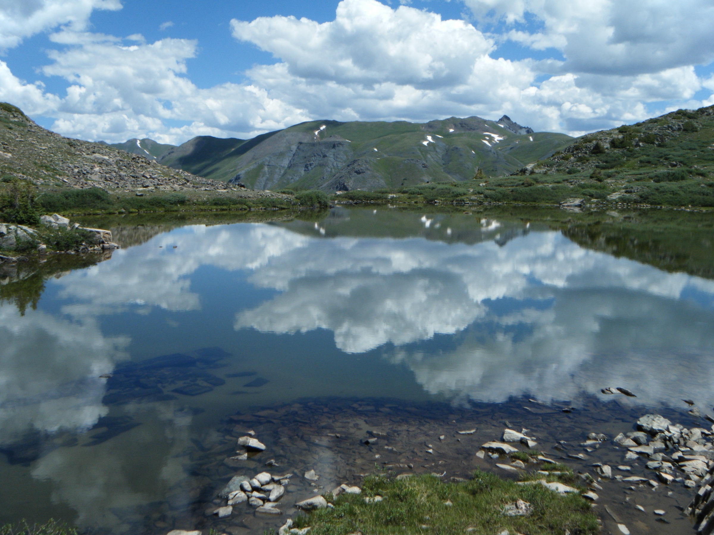
From the North Cottonwood Creek Trailhead at ~2,900 m at the end of CR 365, the route follows the North Cottonwood Creek Trail (#1449) west through subalpine spruce and aspen, working steadily up the creek corridor on a well-graded line. At ~3.5 km the Horn Fork Basin Trail branches north to Mount Harvard and Mount Columbia; the Kroenke Lake line stays west on the main creek trail. From here the route crosses the creek on a footbridge and continues for a further ~3.5 km through alternating forest and meadow benches, gaining elevation slowly to reach Kroenke Lake in a wide subalpine cirque below the Continental Divide and the rough north-south ridge between Mount Yale and Birthday Peak. The lake itself is set in open tundra fringed by spruce; the basin gives sightlines south to Mount Yale and west to the divide. Return is by the same line; longer parties can continue to Browns Pass on the Divide before turning back, adding ~3 km and ~150 m to the day.
Why it is essential
Kroenke Lake is the strongest moderate lake objective on the North Cottonwood Creek corridor — the same access road used by the Mount Harvard, Mount Columbia and Mount Yale north routes. As the only entry in the catalogue that does not require either a major elevation push or a rough road, it gives the catalogue a true subalpine-lake counterpoint to the fourteener ascents while still reaching the heart of the Collegiate Peaks Wilderness.
Equipment
- Sturdy hiking shoes or boots — the trail is rooty and uneven through the forest sections
- Trekking poles for the creek crossings and the bench climbs
- Rain shell and insulated layer; the lake basin holds cold air well into summer
- 2 L water — North Cottonwood Creek is reliable but treat before drinking
- Sun protection and headtorch
- Insect repellent — mosquito pressure on the lower meadows is severe in July
- Offline map; the Horn Fork Basin junction needs care in low light
Hazards and notes
- High-water creek crossings can be tricky in early summer; the main bridge over North Cottonwood Creek has been damaged in past spring floods — check current conditions with the Forest Service.
- Lingering snow on the lake basin into early July can hide the upper trail; carry traction if going before mid-July.
- Mosquitoes are intense on the lower meadows; pack repellent and consider a head-net for picnicking at the lake.
- The Horn Fork Basin junction is the most common navigation mistake on this trail — parties accidentally end up on the Mount Harvard line if they miss the left fork.
- The maximum elevation given here is approximate from contour reading; verify against a current topographic map before publication.
4. Ptarmigan Lake Trail
Snapshot
Itinerary
From the Ptarmigan Lake Trailhead at ~3,255 m on Cottonwood Pass Road, the route climbs east on a well-graded trail through spruce and fir forest for ~2 km, gaining ~250 m to reach the subalpine treeline at ~3,500 m. From here the trail emerges into open meadow and willow basin, traverses south-east beneath the rocky west wall of the basin, and works steadily up to Ptarmigan Lake at 3,749 m — a clear tarn set against a scree-and-tundra amphitheatre with no significant rock face above it. The summit cluster east of the lake is unnamed on most maps; the standing line of view back west covers the upper Cottonwood Pass area and the Continental Divide. Return is by the same line; the lake makes a natural turnaround for moderate parties.
Why it is essential
Ptarmigan Lake is the strongest moderate-effort alpine lake walk on the Buena Vista / Cottonwood Pass side of the Collegiate Peaks. It offers a high-country basin objective without the commitment of a fourteener ascent, on the only paved high-altitude access road in the region — Cottonwood Pass Road. As a half-day alternative to the long summit hikes, it fills a clear gap in the catalogue.
Equipment
- Sturdy hiking shoes or boots
- Trekking poles for the bench climbs and the basin descent
- Rain shell and warm layer; the basin is exposed to wind from the divide
- 1.5–2 L water — small creek crossings on the lower trail
- Sun protection — the trailhead starts at 3,255 m and UV is significant
- Offline map; the basin trail is intermittent in places
- Microspikes if snow remains on the upper bench in early summer
Hazards and notes
- Snow on the upper bench can persist into late July in cold years; check current conditions before mid-July.
- Lightning exposure in the open basin is severe — turn back at the treeline if cumulus is building over the divide.
- Source distances vary slightly between AllTrails and Hiking & Walking, almost certainly because of measurement method and exact turnaround point on the lakeshore.
- Mosquito pressure in the lower meadows is significant in July; carry repellent.
- The trailhead parking area is small and fills by 09:00 on summer weekends; arrive early or use the wide shoulder of CO-306.
5. Lake Ann from South Winfield
Snapshot
Itinerary
From the South Winfield trailhead at ~3,110 m near the end of CR 390 — the same road head used by the La Plata Peak Southwest Ridge route — the line walks south-west on the South Fork Clear Creek Trail (#1462), working up a long forested valley between Sayres Bench and the rough ridge running south from Huron Peak. The grade is gentle for the first 5 km, gaining only ~150 m through spruce and fir, then steepens as the trail enters the open upper basin. The route swings west into the Lake Ann cirque beneath the Continental Divide at ~7 km, reaching Lake Ann at 3,598 m in a wide tundra basin under the rocky wall of Apostle Peak. The view south-west is dominated by the basin headwall and Lake Ann Pass above the lake on the Divide; the line back east covers the upper Clear Creek valley and the dark south wall of Huron Peak. Lake Ann is the day-hike objective; Lake Ann Pass at ~3,810 m is a possible extension only when conditions, time and route-finding are suitable. Return is by the same line.
Why it is essential
Lake Ann represents the western Collegiate Peaks and the Winfield approach: a classic high basin beneath the Divide, with a strong alpine-lake objective that is distinct from the catalogue’s summit-focused routes. It gives the entry the upper Clear Creek view of the Three Apostles and the divide that Huron Peak shows from above, but seen from the cirque floor — the closest hikeable approach to one of the most dramatic mountain walls in the central Sawatch.
Equipment
- Mountain hiking boots — the upper basin and lower trail have rough sections
- Trekking poles for the long approach
- Rain/wind shell and warm layer; the basin holds cold air and wind from the Divide
- 2.5 L water — South Fork Clear Creek is reliable but treat before drinking
- Sun protection — UV at 3,500 m is significant
- Offline map; the upper basin junction toward Lake Ann Pass needs care
- Headtorch — the round trip is long for the gain
- Microspikes if snow remains in the basin or on any pass extension
Hazards and notes
- Rough-road access on CR 390 / South Winfield Road varies by season — verify current conditions before travel; rains can leave the road impassable to passenger cars.
- Statistics depend materially on which trailhead a party reaches; the CMC figure assumes the standard South Winfield road head and not a rougher 4WD upper start.
- Lingering snow in the Lake Ann cirque into early July is common in cold years; carry traction if going before mid-July.
- Thunderstorm exposure in the open basin is severe — turn back at the treeline if cumulus is building over the divide.
- The Lake Ann Pass extension is on a steep snow-and-talus headwall and is a separate route-decision; do not attempt it in poor weather, late in the day, or on hard snow without skills and gear.
- Collegiate Peaks Wilderness rules apply from the wilderness boundary: hand-held leash for dogs, no group sizes over 15, no campfires above treeline.
Routes excluded as out of scope
The following sit inside or adjacent to the Collegiate Peaks but fall outside a day-hike entry, are too duplicative of the five above, or are better understood as overnights or technical trips.
- Mount Harvard and Mount Columbia. The standard Horn Fork Basin routes are very long single-day fourteeners; Harvard alone is ~22 km and 1,400 m, and the Harvard–Columbia traverse is a classic but committing two-summit day better treated as its own entry.
- Mount Princeton. The standard southeast-slopes route from the radio towers is short but on a poor jeep road; it sits closer to the Mount Princeton Hot Springs corridor than to the Buena Vista / Winfield catalogue of this entry.
- Mount Belford and Mount Oxford. The Missouri Gulch line to Belford and Oxford is the standard two-summit day from Winfield, but it duplicates the Huron Peak access road and sits below Huron editorially as a less scenic objective.
- Browns Pass and Browns Lake. Strong subalpine objectives off the Denny Creek corridor, but duplicative of the Mount Yale line on the same access road.
- Three Apostles and Ice Mountain. The high peaks at the head of the South Fork Clear Creek are technical scramble objectives, not day-hikes.
- La Plata Peak. The fourteener on the same South Winfield road head; covered better by the Mount Elbert / Leadville entry’s wider Twin Lakes context than as a Collegiate Peaks day-hike.
Further reading
| Source | URL |
|---|---|
| USFS Collegiate Peaks Wilderness — official page | fs.usda.gov |
| 14ers.com — Mount Yale Southwest Slopes | 14ers.com |
| 14ers.com — Huron Peak Northwest Slopes | 14ers.com |
| AllTrails — Kroenke Lake Trail | alltrails.com |
| AllTrails — Ptarmigan Lake Trail | alltrails.com |
| Hiking & Walking — Ptarmigan Lake | hikingwalking.com |
| Colorado Mountain Club — Lake Ann from South Winfield TH | cmc.org |
| Wikipedia — Mount Yale | en.wikipedia.org |
| Wikipedia — Huron Peak | en.wikipedia.org |
| Wikipedia — Collegiate Peaks Wilderness | en.wikipedia.org |
| Wikimedia Commons — Collegiate Peaks Wilderness category | commons.wikimedia.org |
| OpenStreetMap (ODbL 1.0) | openstreetmap.org |