Regional overview
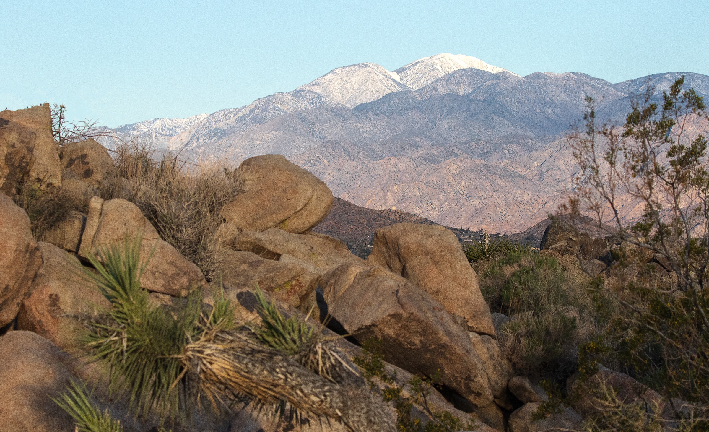
The San Bernardino Mountains contain the highest terrain in Southern California and the Transverse Ranges — San Gorgonio Mountain rises to 11,503 ft above the Coachella Valley — along with broad wilderness basins, the Big Bear Lake pine belt and dramatic desert-edge summits. Day-hikes here span everything from a very long alpine summit push out of Forest Falls to short granite viewpoints on the Big Bear north shore.
The San Bernardino National Forest manages the range’s trail network, and the San Gorgonio Wilderness Association handles the mandatory day-use permits for the summit basins. Post-fire hazards from the 2020 Apple Fire (upper Vivian Creek) and the 2020 El Dorado Fire (San Bernardino Peak Trail corridor) remain relevant — falling trees and limbs, loose rock and shifting drainage are all reported on current official trail pages.
Current access note checked on 2026-07-13: moderate fire danger was in effect across several zones, and ongoing high-elevation snow and ice hazards were flagged on the major summit routes. Verify current conditions on the Forest Service trail pages linked below before every trip.
See also: San Gabriel Mountains, California · Topatopa / Sespe region, California.
Selection rationale
The five hikes below cover the range high point (San Gorgonio via Vivian Creek), the historic and scenic counterpart (San Bernardino Peak via the Divide Trail), a Wilderness lake-basin objective (Dry Lake via South Fork), and the two most publication-ready Big Bear hikes with clear Forest Service trail pages (Cougar Crest and Castle Rock). Together they represent both the range’s big alpine ambitions and the shorter routes that make it accessible.
Summary
| # | Hike | Country | Route type | Distance | Gain | Difficulty | Primary trailhead |
|---|---|---|---|---|---|---|---|
| 1 | San Gorgonio Mountain via Vivian Creek | USA | Out-and-back | 29.0 km / 18.0 mi | 1,667 m / 5,470 ft | Very strenuous | Vivian Creek trailhead, Forest Falls |
| 2 | San Bernardino Peak via San Bernardino Peak Trail | USA | Out-and-back | 25.7 km / 16.0 mi | 1,423 m / 4,670 ft | Strenuous | Angelus Oaks trailhead |
| 3 | Dry Lake via South Fork Trail | USA | Out-and-back | ~19.3 km / 12.0 mi | ~701 m / 2,300 ft | Strenuous | South Fork trailhead, Jenks Lake Road |
| 4 | Cougar Crest Trail to PCT junction | USA | Out-and-back | 6.4 km / 4.0 mi | 219 m / 720 ft | Moderate | Cougar Crest trailhead, Big Bear north shore |
| 5 | Castle Rock Trail | USA | Out-and-back | 3.9 km / 2.4 mi | 168 m / 552 ft | Moderate | Highway 18 turnout west of Big Bear Lake Village |
1. San Gorgonio Mountain via Vivian Creek Trail
Snapshot
Itinerary
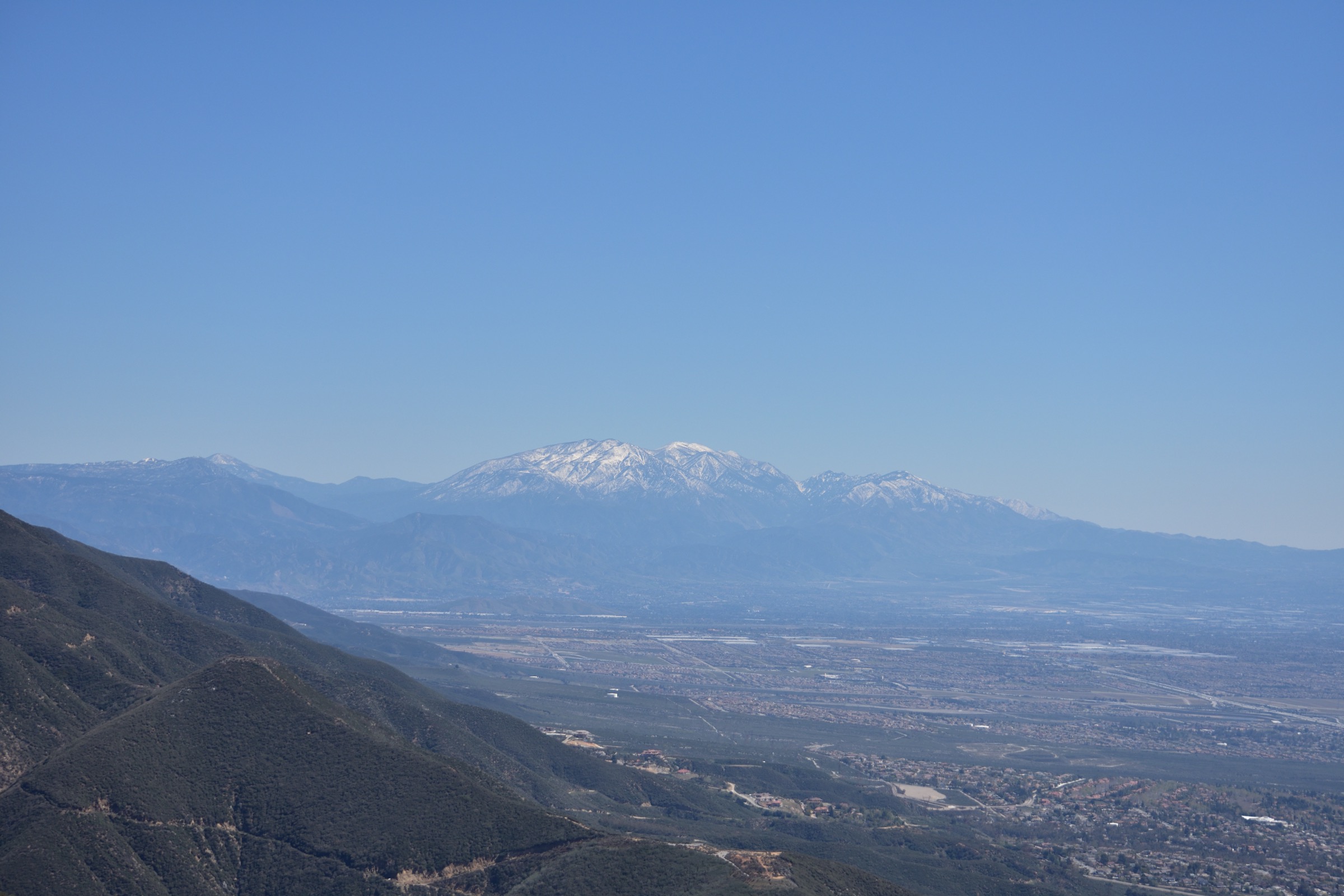
From the Vivian Creek trailhead the route drops briefly into the canyon before beginning a sustained climb through Vivian Creek, Halfway and High Creek camps, gaining elevation almost the entire way to the broad summit plateau at 11,503 ft. It is the shortest and steepest of the standard San Gorgonio routes and the essential big day of the range.
Why it is essential
Highest summit in Southern California and the natural high-point ambition for the whole Transverse Ranges — reached by the classic direct route from Forest Falls.
Equipment
- Sturdy boots or trail runners with grip
- 4–5 L water — dependable sources are limited above the lower canyon
- Layers for a summit where afternoon weather changes fast
- Wind shell, warm hat and gloves even in summer
- Sun protection, headlamp, emergency shelter
- Traction and ice-axe skills through late spring
Hazards and notes
- Altitude — the summit sits above 3,500 m; pace and hydration matter.
- Afternoon thunderstorms are common in summer; start early and be off the ridge by early afternoon.
- Snow and ice may persist into July; the official page notes winter-to-mid-summer routes may require mountaineering skills.
- Post-2020 Apple Fire hazards in the upper trail — falling trees, limbs and loose rock.
- Very long descent — knees, poles and pacing matter as much as the ascent.
Routes and maps
| Source | URL |
|---|---|
| USFS — Vivian Creek Trail 1E08 | fs.usda.gov |
| San Gorgonio Wilderness Association — permits | sgwa.org |
| HikingGuy — San Gorgonio (GPX / CalTopo) | hikingguy.com |
| OpenStreetMap — Vivian Creek Trail | openstreetmap.org |
Further reading
2. San Bernardino Peak via San Bernardino Peak Trail
Snapshot
Itinerary
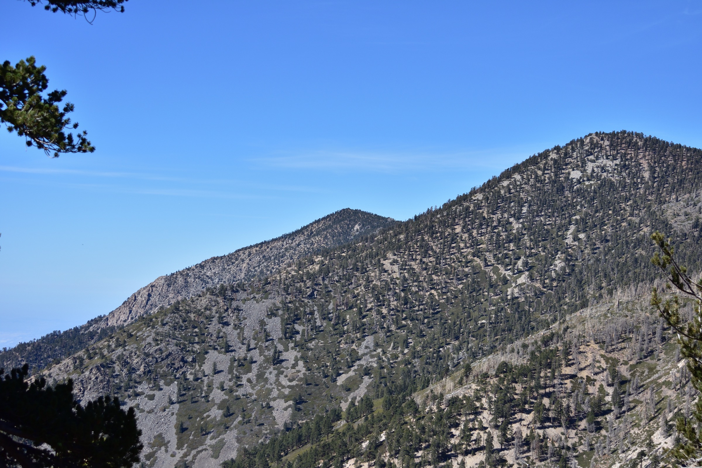
From Angelus Oaks the trail climbs through chaparral and oak, then into the high conifer belt, before joining the Divide Trail near the summit ridge. The high point is the historic San Bernardino Peak, tied to Henry Washington’s 1852 initial survey point that anchors much of the modern California land-survey grid.
Why it is essential
The scenic and historic counterpart to San Gorgonio — a serious mountain day without the sustained altitude of the 11,500-ft summit.
Equipment
- Sturdy trail shoes or light boots
- 3–4 L water; limited on-route
- Layers for the high ridge
- Sun protection and wind shell
- Headlamp and emergency shelter
- Post-fire awareness — expect blowdown
Hazards and notes
- Snow can linger into early summer in the upper basin.
- 2020 El Dorado Fire hazards — falling trees, limbs, loose rocks and debris; verify current conditions on the USFS page.
- Long day at altitude; start early.
- Water sources are unreliable — carry enough for the full round trip.
Routes and maps
| Source | URL |
|---|---|
| USFS — San Bernardino Peak Trail 1W07 | fs.usda.gov |
| San Gorgonio Wilderness Association — permits | sgwa.org |
| HikingGuy — San Bernardino Peak (GPX / CalTopo) | hikingguy.com |
| OpenStreetMap — San Bernardino Peak Trail | openstreetmap.org |
Further reading
3. Dry Lake via South Fork Trail
Snapshot
Itinerary
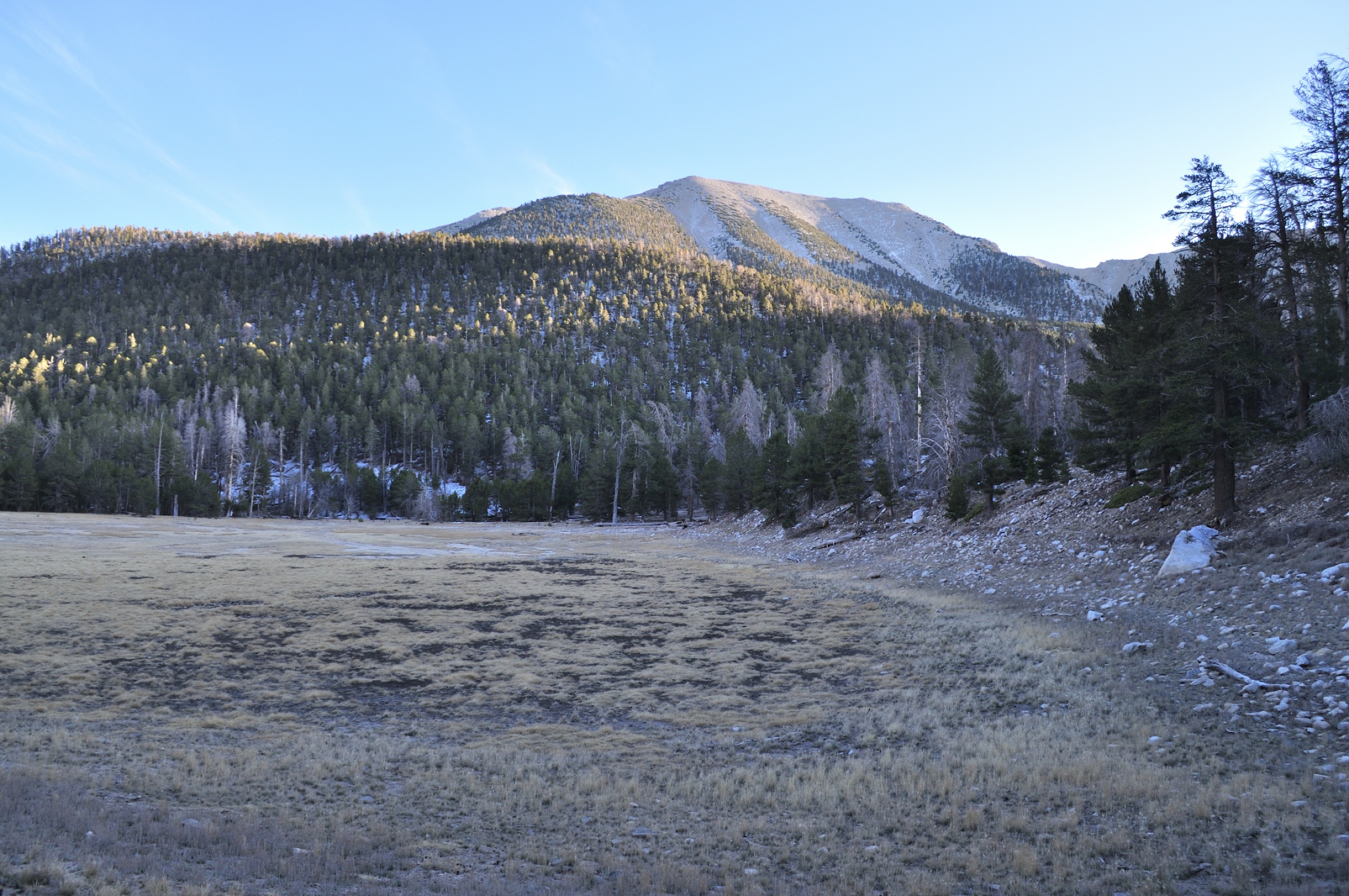
From the South Fork trailhead the trail climbs steadily through forest and open meadow before reaching the Dry Lake basin under San Gorgonio’s northeast face. It is the range’s classic wilderness lake objective without the full commitment of a summit day — a proper alpine-feeling destination inside a single big out-and-back.
Why it is essential
The best lake-basin day in the range: high country, quiet forest and a genuine wilderness camp-and-return atmosphere without needing to top out at 11,500 ft.
Equipment
- Trail shoes or light boots
- 3 L water; treat any spring water you use for the return
- Layers for the basin at nearly 2,800 m
- Sun protection and headlamp
- Wilderness map — junctions are marked but not signposted at every turn
Hazards and notes
- Snow persists into early summer in the upper basin.
- Stream crossings and wet meadows on the shoulder seasons.
- Altitude and afternoon thunderstorm risk in summer.
- Fragile lake-basin terrain — stay on established trails and follow Leave No Trace.
- Route file: no current direct GPX from an official source at the time of research; verify distance and gain against the SGWA / USFS materials before travel.
Routes and maps
| Source | URL |
|---|---|
| USFS — San Bernardino National Forest recreation | fs.usda.gov |
| San Gorgonio Wilderness Association — permits | sgwa.org |
| OpenStreetMap — South Fork Trail | openstreetmap.org |
Further reading
4. Cougar Crest Trail to the Pacific Crest Trail junction
Snapshot
Itinerary
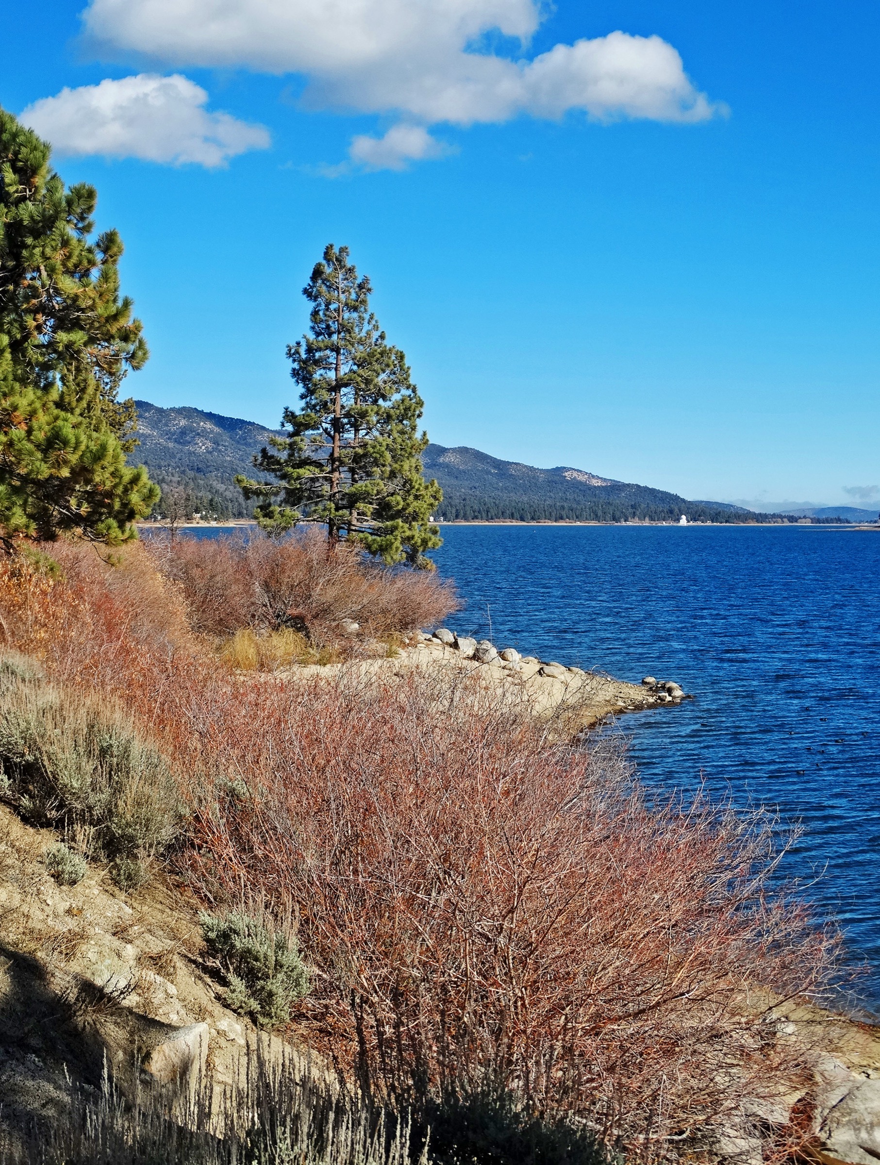
From the north-shore trailhead Cougar Crest climbs through pinyon, juniper and Jeffrey pine, opening broader views over Big Bear Lake with each switchback before reaching the Pacific Crest Trail junction. Turn around at the junction for the standard day-hike, or continue east on the PCT toward Bertha Peak for a longer round trip.
Why it is essential
The best short introduction to the Big Bear side of the range — clear Forest Service trail information, good elevation gain in a compact distance, and a natural link to the PCT for anyone who wants to extend.
Equipment
- Trail shoes
- 1.5–2 L water
- Sun protection — exposed switchbacks after the first climb
- Wind layer for the ridge
- Lightweight traction in winter
Hazards and notes
- Altitude for visitors coming up from the coastal plain — the trailhead already sits above 2,100 m.
- Heat on the exposed sections; start early in summer.
- Winter ice; the trail can freeze at ridge level.
- Heavy trailhead use in peak season — arrive early or midweek.
Routes and maps
| Source | URL |
|---|---|
| USFS — Cougar Crest Trail 1E22 | fs.usda.gov |
| OpenStreetMap — Cougar Crest Trail | openstreetmap.org |
Further reading
5. Castle Rock Trail
Snapshot
Itinerary
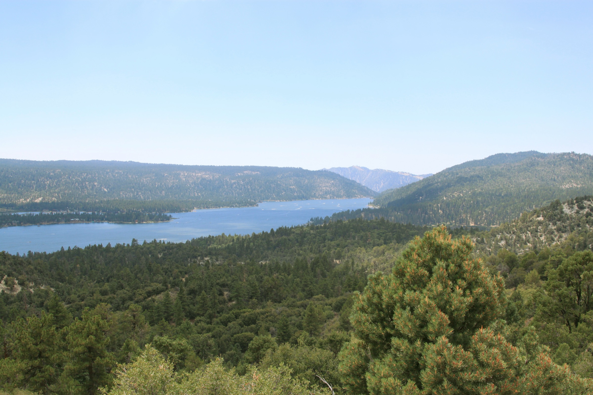
The trail climbs steeply from the Highway 18 turnout for the first half-mile, then eases through pine forest to the Castle Rock outcrop — a roughly 100-ft granite mass with wide views over Big Bear Lake. Return the same way; the route is short enough to combine with Cougar Crest for a full Big Bear day.
Why it is essential
The range’s classic “high reward per mile” hike, and the natural half-day backup when weather, time or acclimatisation make the big summit routes unwise.
Equipment
- Trail shoes with grip — the first half-mile is steep and loose
- 1 L water
- Wind layer for the exposed rock
- Lightweight traction in winter
Hazards and notes
- Steep first half-mile; expect loose footing.
- Exposed rock near the summit outcrop — care with children and dogs.
- Traffic around the small trailhead turnout on Highway 18; cross with care.
- Limited winter maintenance; ice on the shaded switchbacks.
Routes and maps
| Source | URL |
|---|---|
| USFS — Castle Rock Trail 1W03 | fs.usda.gov |
| OpenStreetMap — Castle Rock Trail | openstreetmap.org |
Further reading
Region-wide cautions
- The San Gorgonio Wilderness requires a day-use permit for all three high routes above; obtain via the San Gorgonio Wilderness Association.
- Snow, ice and mountaineering conditions can persist on the high summits into mid-summer; the USFS pages flag this explicitly on Vivian Creek.
- Post-fire hazards from the 2020 Apple Fire and 2020 El Dorado Fire persist on the summit routes — expect falling trees, limbs and loose rock.
- Afternoon thunderstorms are common in summer above 3,000 m; start early and be off the ridge by early afternoon.
- Adventure Pass or interagency pass is required at most Forest Service trailheads; parking is limited at all popular Big Bear trailheads.
Routes excluded
- Vivian Creek Trail beyond San Gorgonio to a traverse — the summit-and-return is already at the outer edge of a reasonable single day; longer traverses belong in a multi-day plan.
- San Bernardino Peak Divide Trail through-hike — a fine multi-day traverse but not a day-hike.