Regional overview
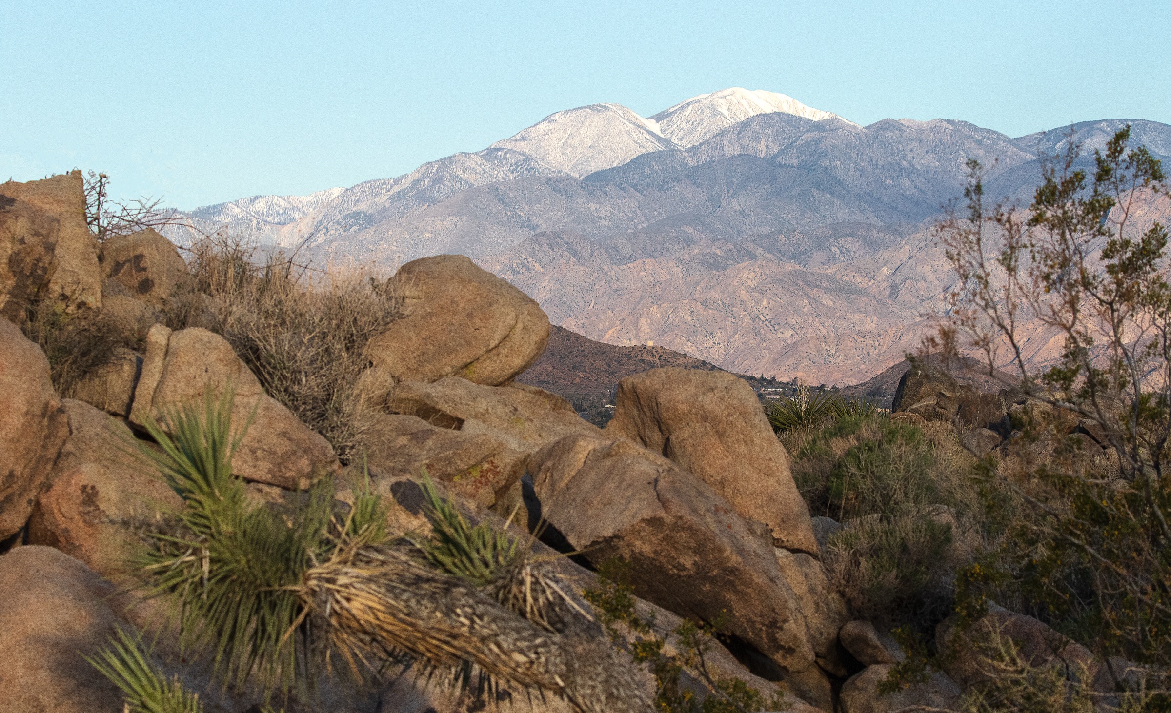
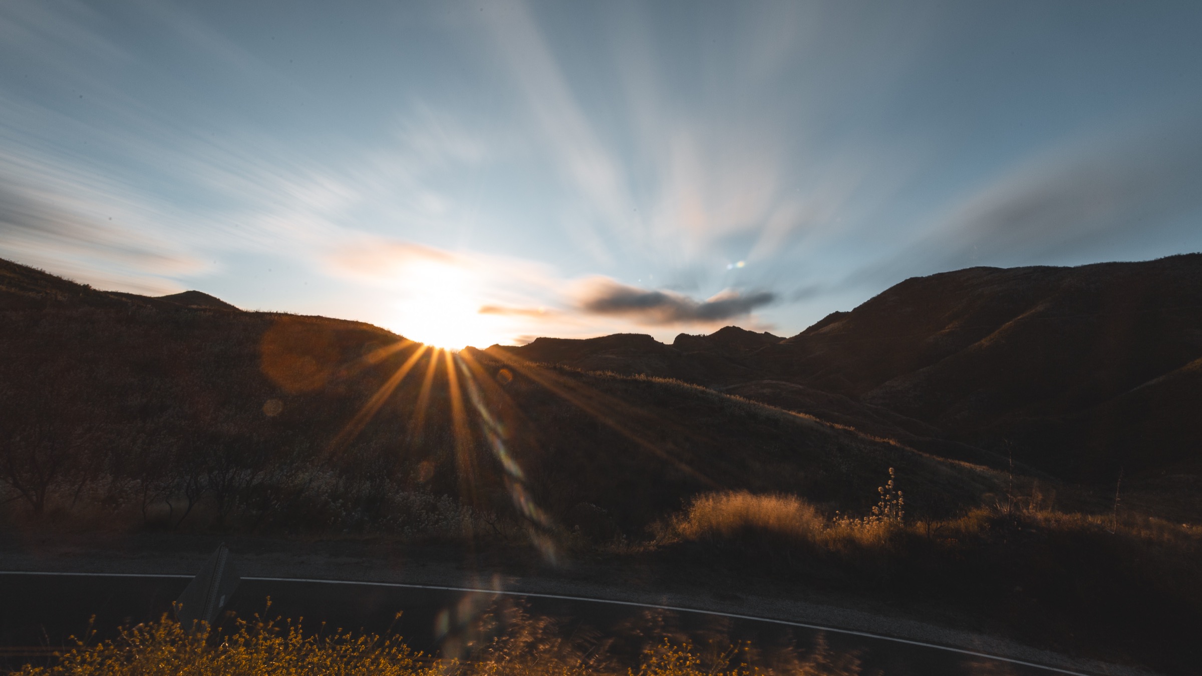
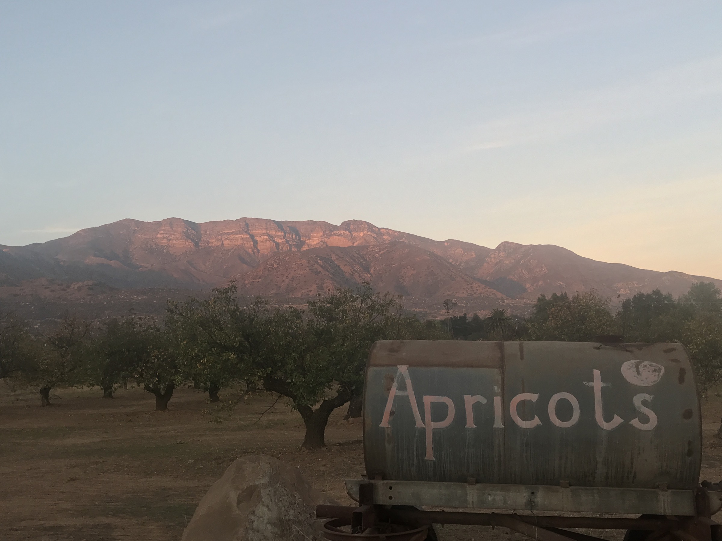
The Topatopa / Sespe region covers the dry southern Los Padres backcountry north of Ojai, Santa Paula, Fillmore and the upper Ventura River corridor. Its walking character is classic Southern California transverse-range terrain: long chaparral climbs, sandstone outcrops, oak and sycamore canyons, seasonal waterfalls, hot exposed ridges and remote stream corridors that feel much wilder than their distance from the coast suggests.
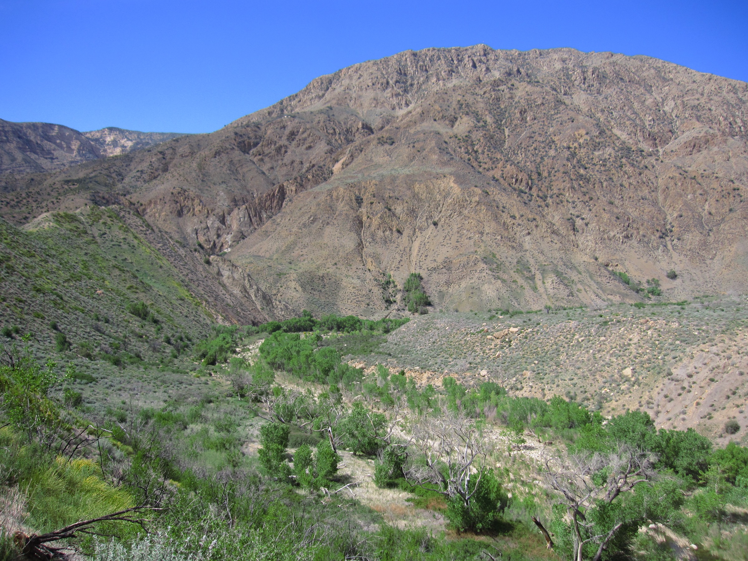
The main hiking portals are the Ojai front-country trailheads, Sisar Canyon, Highway 33, Rose Valley, Piedra Blanca and Pine Mountain / Reyes Peak Road when seasonal road conditions allow. Several routes cross or enter the Sespe Wilderness, and the wider area includes condor habitat and closed sanctuary land. Trail status, fire restrictions, storm damage, heat and water availability need checking before departure. Late autumn through spring is the practical hiking window; summer can be dangerously hot on open ridges and in Sespe Creek canyon, while winter storms can make creek crossings hazardous and leave snow or ice on the highest ridges. Poison oak, ticks, rattlesnakes, loose sandstone, eroded trail sections, flash-flood risk in canyons and limited mobile reception are routine hazards.
See also: Tehachapi Mountains, California · Santa Monica Mountains, California.
Selection rationale
The five hikes represent the region’s essential range: the Topatopa Bluff ascent for the famous Ojai skyline and “pink moment” cliffs, Chorro Grande for the climb from chaparral to Pine Mountain high country, Piedra Blanca for the emblematic white sandstone formations, Sespe River to Willett Hot Springs for the major wilderness stream route, and Rose Valley Falls for the short but widely recognised waterfall walk near the Piedra Blanca / Sespe trailhead area.
Summary
| # | Hike | Country | Route type | Distance | Gain | Difficulty | Primary trailhead |
|---|---|---|---|---|---|---|---|
| 1 | Topatopa Bluff via Sisar Canyon | USA | Out-and-back | 24.6 km / 15.3 mi | 1,435 m / 4,708 ft | Strenuous | Sisar Canyon trailhead, Upper Ojai |
| 2 | Chorro Grande to Pine Mountain Ridge | USA | Out-and-back | 16.4 km / 10.2 mi | 956 m / 3,136 ft | Hard | Chorro Grande trailhead, Highway 33 |
| 3 | Piedra Blanca Camp via the Formations | USA | Out-and-back | 9.3 km / 5.8 mi | 259 m / 850 ft | Moderate | Piedra Blanca trailhead, Rose Valley |
| 4 | Sespe River Trail to Willett Hot Springs | USA | Out-and-back | 32.3 km / 20.1 mi | 758 m / 2,487 ft | Hard / very long | Piedra Blanca trailhead |
| 5 | Rose Valley Falls | USA | Out-and-back | 1.1 km / 0.7 mi | 48 m / 157 ft | Easy | Rose Valley Falls trailhead |
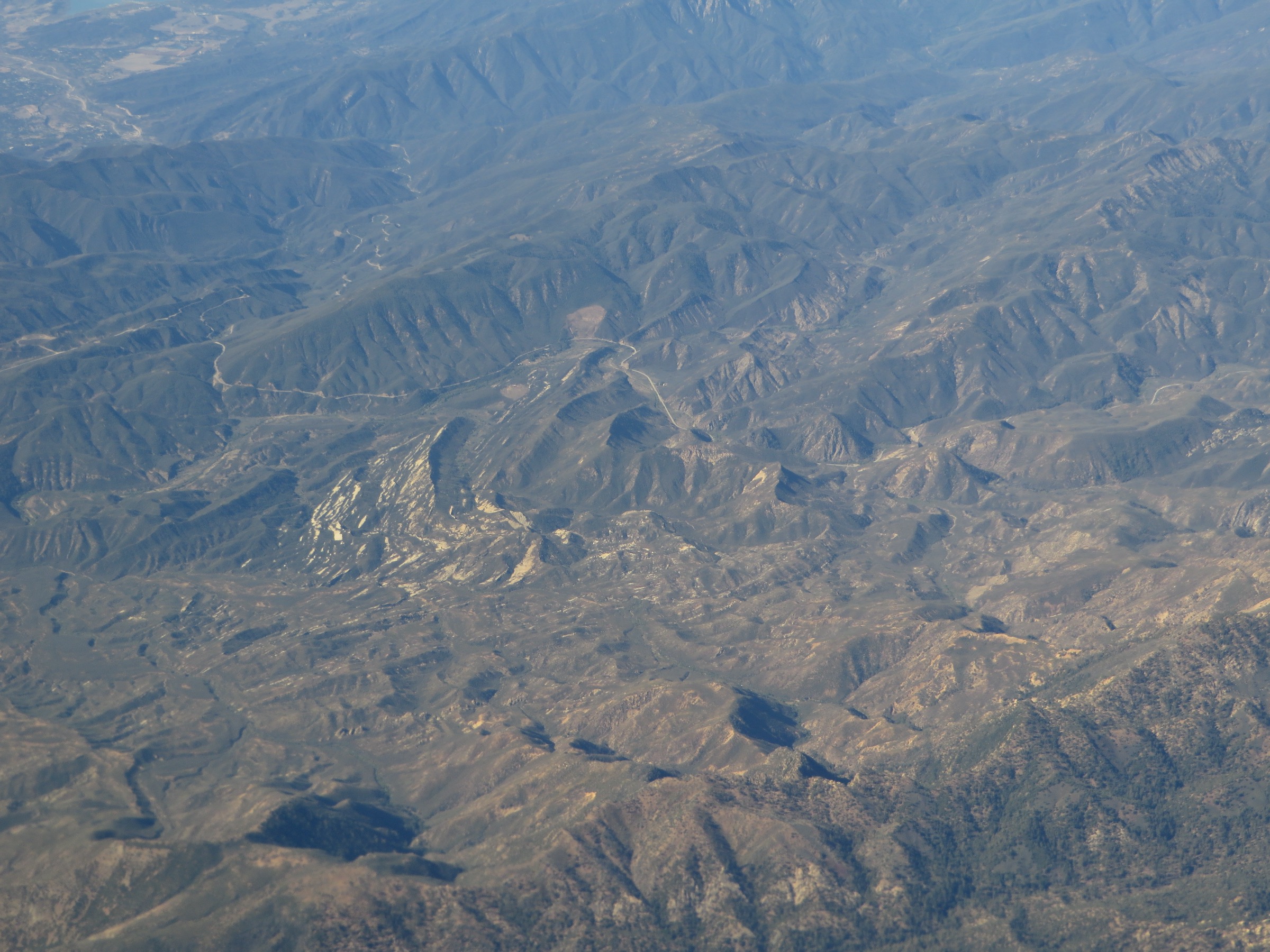
1. Topatopa Bluff via Sisar Canyon
Snapshot
Itinerary
The route climbs from the Sisar Canyon side of Upper Ojai on a long fire-road and trail approach toward the high Topatopa front. It gains the Nordhoff / Topatopa ridge system, then continues toward the sandstone crest of Topatopa Bluff. The upper section is open, exposed and much more committing than the distance from Ojai suggests. Return the same line down Sisar Canyon.
Why it is essential
Topatopa Bluff is the signature high skyline above Ojai. The route links the region’s front-country canyons with the famous pale sandstone cliffs and broad views across Ojai Valley, the Ventura coast, Santa Paula country and the higher Los Padres interior.
Equipment
- Sturdy hiking boots
- 3–4 L water in warm weather
- Sun protection
- Wind layer and warm layer for the ridge
- Headlamp for the long day
- Map / GPS and offline backup
- Trekking poles helpful on the descent
Hazards and notes
- Long, exposed route with limited shade above Sisar Canyon.
- Heat and dehydration are the primary hazards; treat as a cool-season outing.
- Eroded road and trail surfaces on the upper approach.
- Rattlesnakes, ticks and poison oak on the lower trail.
- High sections may hold snow or ice after winter storms.
- Check Los Padres National Forest alerts, fire restrictions and closures.
Routes and maps
| Source | URL |
|---|---|
| USFS — Los Padres National Forest | fs.usda.gov |
| AllTrails — Topatopa Bluff Trail | alltrails.com |
| OpenStreetMap — Topatopa Bluff / Sisar Canyon | openstreetmap.org |
Further reading
2. Chorro Grande to Pine Mountain Ridge
Snapshot
Itinerary
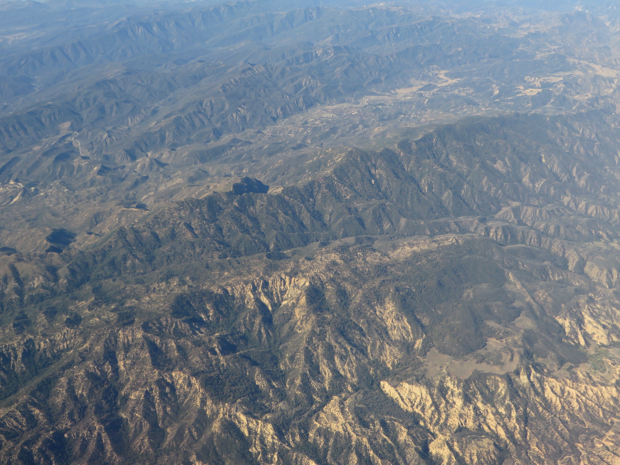
From Highway 33 the trail climbs steeply through chaparral and canyon slopes toward the cooler Pine Mountain high country, gaining forested ridge terrain with views back across the Ojai backcountry and toward the higher Transverse Ranges. The standard day-hike version turns around on the high ridge or at a practical viewpoint before descending the same trail.
Why it is essential
Chorro Grande is one of the clearest day-hike transitions in the region — a sustained climb from dry canyon country to the conifer-and-sandstone highlands of Pine Mountain Ridge. It represents the high-elevation edge of the Topatopa / Sespe hiking area without requiring a technical route.
Equipment
- Sturdy boots
- Sun protection
- Warm layer and wind layer for the ridge
- Ample water for a dry climb
- Navigation backup
- Microspikes only if recent conditions suggest snow or ice
Hazards and notes
- Lower trail is hot and brushy; poison oak, ticks and rattlesnakes present.
- Upper ridge is exposed to wind and winter weather.
- Highway 33 and side roads can be affected by storms, rockfall, fire closures and seasonal repairs — check before travel.
- Afternoon thunderstorms possible in shoulder seasons.
Routes and maps
| Source | URL |
|---|---|
| USFS — Los Padres National Forest | fs.usda.gov |
| AllTrails — Chorro Grande Trail | alltrails.com |
| OpenStreetMap — Chorro Grande / Pine Mountain | openstreetmap.org |
Further reading
3. Piedra Blanca Camp via the Formations
Snapshot
Itinerary
The route starts at Piedra Blanca trailhead and heads into the Sespe backcountry, reaching the pale sandstone formations that give the area its name. The day-hike version continues toward Piedra Blanca Camp, passing dry chaparral slopes, riparian pockets and open rock scenery before returning to the same trailhead.
Why it is essential
Piedra Blanca is one of the most recognisable landforms in the southern Los Padres — bright sculpted sandstone at the gateway to the Sespe Wilderness. The route gives a shorter, more accessible expression of Sespe terrain than the long hot-springs approach.
Equipment
- Hiking shoes or boots
- Water and sun protection
- Map / GPS
- Food
- Warm or waterproof layer depending on season
Hazards and notes
- Creek crossings can change after storms.
- Heat, poison oak, rattlesnakes, ticks and limited shade are common.
- Trailhead access, parking requirements, campfire restrictions and wilderness rules should be checked before departure.
- Do not climb on the sandstone formations — it damages the rock and lichens.
Routes and maps
| Source | URL |
|---|---|
| USFS — Los Padres National Forest | fs.usda.gov |
| AllTrails — Piedra Blanca Camp Trail | alltrails.com |
| AllTrails — Piedra Blanca Formations Trail | alltrails.com |
| OpenStreetMap — Piedra Blanca trailhead | openstreetmap.org |
Further reading
4. Sespe River Trail to Willett Hot Springs
Snapshot
Itinerary
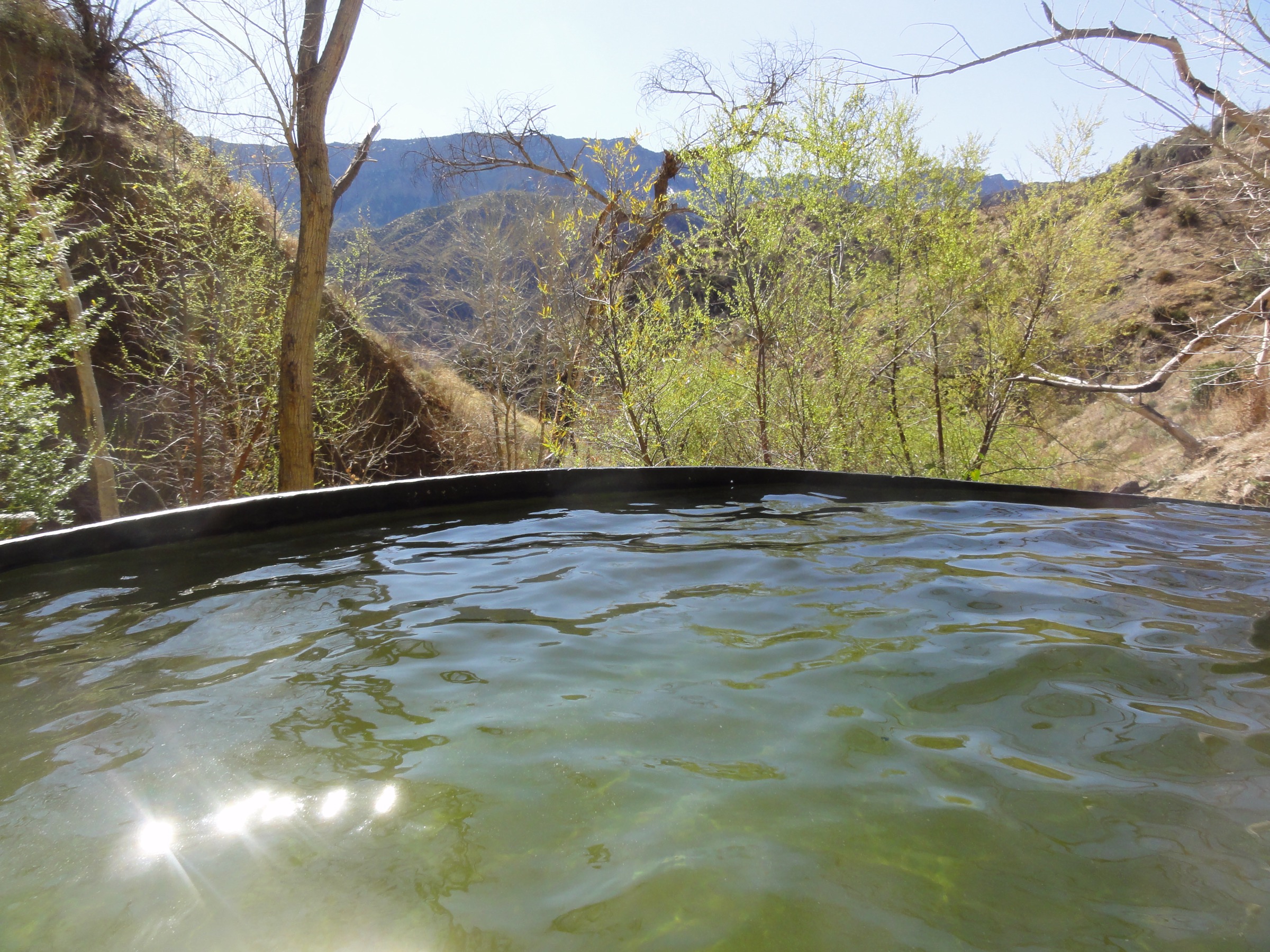
From Piedra Blanca trailhead the Sespe River Trail follows the main wilderness corridor eastward, crossing or paralleling Sespe Creek through chaparral, cottonwoods, sycamores and canyon country. The day-hike objective is Willett Hot Springs — a long approach that most parties normally treat as an overnight backpack. Return by the same route.
Why it is essential
This is the defining Sespe Wilderness route: a long free-flowing creek corridor, hot-springs destination, remote canyon scenery and classic southern Los Padres backcountry character. Included as essential only for very fit day-hikers in suitable conditions.
Equipment
- Sturdy boots
- Water treatment and ample water capacity
- Food and headlamp
- Sun protection
- Navigation backup
- Warm and waterproof layers in unsettled weather
- Emergency margin for a long day
Hazards and notes
- Distance is beyond the normal catalogue range; treat only as a very long day-hike for fit parties in good conditions.
- Creek crossings can be unsafe after storms.
- Summer heat can be severe; water quality and flow are not guaranteed.
- Verify current Los Padres closures, wilderness rules and fire restrictions before travel.
- Hot-spring use should follow low-impact ethics — do not alter pools or leave waste.
Routes and maps
| Source | URL |
|---|---|
| USFS — Los Padres National Forest | fs.usda.gov |
| AllTrails — Sespe River Trail to Willett Hot Springs | alltrails.com |
| OpenStreetMap — Sespe River Trail / Willett Hot Springs | openstreetmap.org |
Further reading
5. Rose Valley Falls
Snapshot
Itinerary
The short trail leaves the Rose Valley campground / day-use area and follows a shaded canyon route to the lower view of Rose Valley Falls. Brief but a standard stop for hikers using the Rose Valley and Piedra Blanca access corridor.
Why it is essential
Rose Valley Falls is the compact waterfall classic of the region. It balances the catalogue by representing the easier family-accessible side of the Sespe / Ojai backcountry and pairs naturally with nearby Piedra Blanca and Pine Mountain approaches.
Equipment
- Hiking shoes with grip
- Water and sun protection
- Light layer
Hazards and notes
- Short but slippery near water and shaded rock.
- Stay on the established trail; do not climb wet falls or unstable slopes.
- Check campground, parking and fire-restriction information before travel.
Routes and maps
| Source | URL |
|---|---|
| USFS — Los Padres National Forest | fs.usda.gov |
| AllTrails — Rose Valley Falls | alltrails.com |
| OpenStreetMap — Rose Valley Falls | openstreetmap.org |
Further reading
Region-wide cautions
- Treat late autumn through spring as the practical hiking window; summer heat is dangerous on open ridges and in Sespe Creek canyon.
- Winter storms can raise creek crossings above safe wade depth and leave snow or ice on the highest ridges.
- Poison oak, ticks, rattlesnakes, loose sandstone and eroded trail sections are recurring hazards.
- Flash-flood risk in the Sespe and side canyons — check the forecast before entering narrow drainages.
- Mobile reception is limited or nonexistent; leave a trip plan.
- The region contains California condor habitat and closed sanctuary land; obey posted closures.
- Check Los Padres National Forest alerts and Highway 33 status before travel.