Regional overview
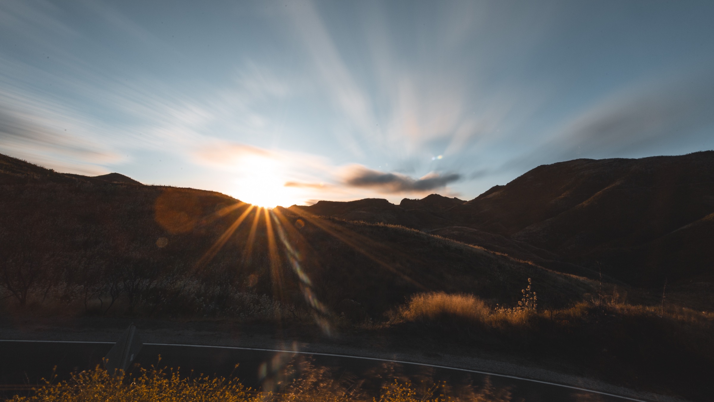
The Santa Monica Mountains are a coastal range of chaparral ridges, sandstone summits, oak canyons, ocean overlooks and Hollywood-adjacent cultural landscape, pressed against Los Angeles and Malibu. The best day-hikes here are not the longest mountain days in California, but they are unusually varied: sea views, canyon ruins, volcanic-looking crags, palm-shaded creeks and wildlife corridors all appear within short drives of dense urban neighbourhoods.
The range sits inside a mosaic of federal, state and local protection — Santa Monica Mountains National Recreation Area, Topanga State Park, Malibu Creek State Park, Point Mugu State Park and Circle X Ranch — with the Backbone Trail threading the length of the crest.
Current access notes checked on 2026-07-13: Topanga State Park remained open with residual Palisades Fire restrictions and named trail closures — Temescal Canyon Trail was on the closure list and is not selected below. Malibu Creek State Park reinstalled the MAS*H-site bridge earlier in 2026. Dogs are generally not allowed on California State Park trails in this region; verify each park’s current rules before travel.
See also: Topatopa / Sespe region, California · Tehachapi Mountains, California.
Selection rationale
The five hikes below cover the range high point, a national-park canyon with waterfall and ruins, the Topanga ridge system with its Santa Monica Bay overlook, the Malibu Creek cultural landscape, and the far-western Point Mugu coast. They are chosen to represent the Santa Monica Mountains’ major hiking experiences while avoiding known current closures.
Summary
| # | Hike | Country | Route type | Distance | Gain | Difficulty | Primary trailhead |
|---|---|---|---|---|---|---|---|
| 1 | Sandstone Peak and Mishe Mokwa / Backbone loop | USA | Loop | 9.7 km / 6.0 mi | 411 m / 1,350 ft | Moderate–strenuous | Circle X Ranch / Sandstone Peak trailhead |
| 2 | Solstice Canyon and Rising Sun Trail loop | USA | Loop | 4.8 km / 3.0 mi | 198 m / 650 ft | Moderate | Solstice Canyon, Malibu |
| 3 | Los Liones Trail to Parker Mesa Overlook | USA | Out-and-back | 11.6 km / 7.2 mi | 396 m / 1,300 ft | Moderate–strenuous | Los Liones Drive, Pacific Palisades |
| 4 | Malibu Creek: Rock Pool, Century Lake and MAS*H site | USA | Out-and-back with loop options | 8.0 km / 5.0 mi | 152 m / 500 ft | Easy–moderate | Malibu Creek State Park main lot |
| 5 | Mugu Peak Trail | USA | Loop or out-and-back | 4.3 km / 2.7 mi | 366 m / 1,200 ft | Moderate, steep | Point Mugu State Park, PCH pull-out |
1. Sandstone Peak and Mishe Mokwa / Backbone loop
Snapshot
Itinerary
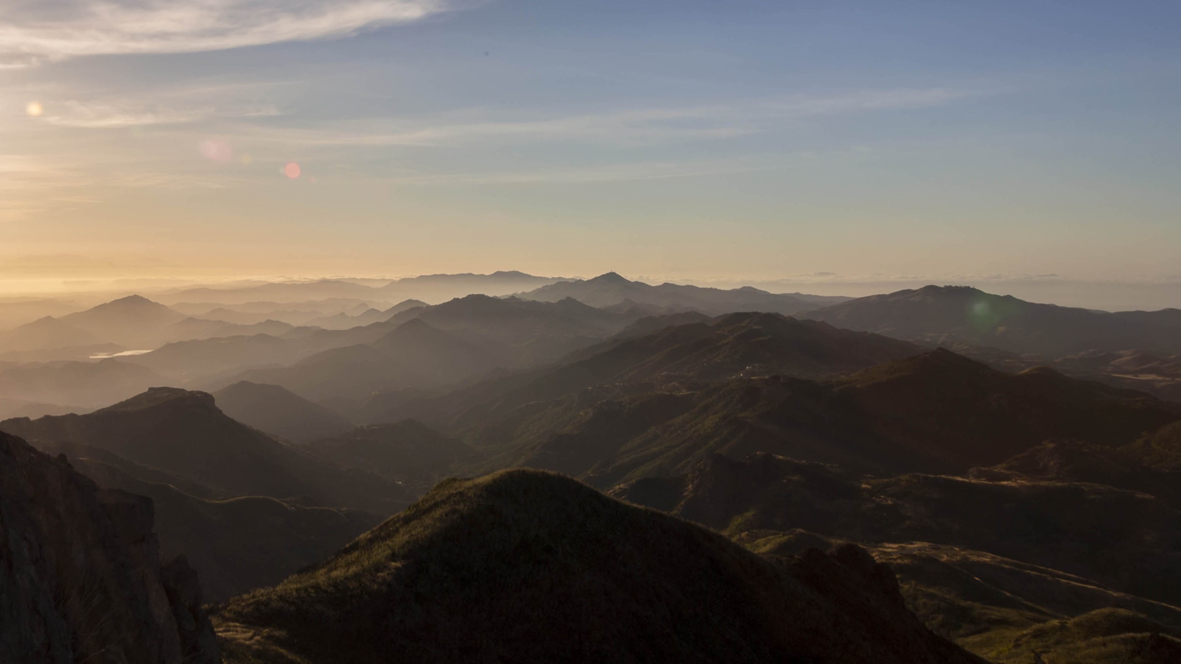
From the Backbone trailhead on Yerba Buena Road the loop climbs directly to Sandstone Peak — also called Mount Allen and, at 3,114 ft, the high point of the entire Santa Monica Mountains — then descends through the sculpted volcanic-looking outcrops of the Mishe Mokwa Trail before rejoining the Backbone segment back to the parking area. Views open north into Boney Mountain State Wilderness, south to Malibu and, on clear days, west to the Channel Islands.
Why it is essential
The natural first entry to the range: highest summit, best variety of terrain, and a direct connection to the Backbone Trail that ties the whole crest together.
Equipment
- Sturdy trail shoes
- 2–3 L water minimum
- Sun protection — very little shade
- Wind layer for the summit
- Offline map — the loop has multiple junctions
- Snake awareness
Hazards and notes
- Very little shade; carry more water than the distance implies.
- Loose sandstone on the descent from the summit.
- Rattlesnakes in warm weather.
- Post-fire trail changes are periodic across Circle X Ranch — verify current NPS conditions.
Routes and maps
| Source | URL |
|---|---|
| NPS — Backbone Trail | nps.gov |
| NPS — Circle X Ranch | nps.gov |
| OpenStreetMap — Sandstone Peak | openstreetmap.org |
Further reading
2. Solstice Canyon and Rising Sun Trail loop
Snapshot
Itinerary
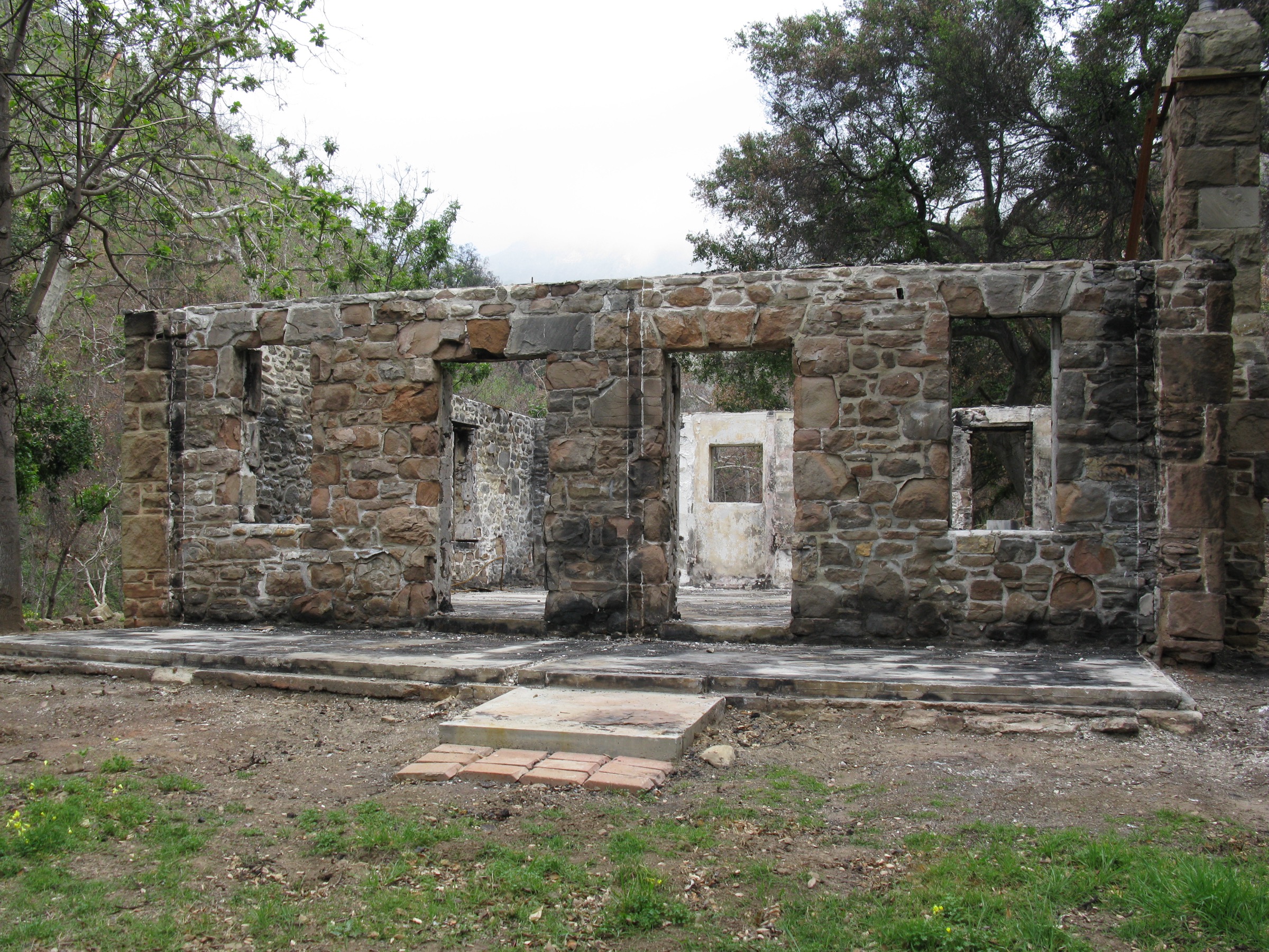
The route starts on the paved half-mile from the trailhead, then enters the canyon proper past riparian oak and sycamore. Beyond the small perennial waterfall it reaches the burned Roberts Ranch ruins — designed by architect Paul Revere Williams in 1952 and destroyed in a 1982 wildfire. Rising Sun Trail then climbs to a chaparral bench for coastal views before dropping back to close the loop.
Why it is essential
The most complete short hike in the Santa Monica Mountains: shaded riparian canyon, perennial water, cultural ruins, and a compact ridge return with ocean views.
Equipment
- Trail shoes
- 1.5–2 L water
- Sun protection for the ridge section
- Insect awareness in the canyon after rain
Hazards and notes
- Heat is the main risk on the exposed Rising Sun ridge — start early in summer.
- Poison oak in riparian habitat; stay on trail.
- Slippery rocks near the waterfall.
- Parking fills by mid-morning on weekends.
Routes and maps
| Source | URL |
|---|---|
| NPS — Solstice Canyon | nps.gov |
| OpenStreetMap — Solstice Canyon | openstreetmap.org |
Further reading
3. Los Liones Trail to Parker Mesa Overlook
Snapshot
Itinerary
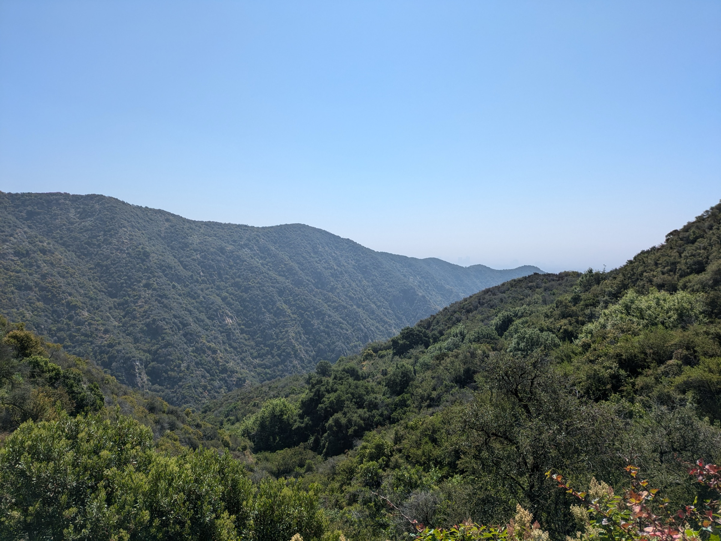
From Los Liones Drive the trail climbs shaded oak and bay through a canyon before breaking into open chaparral on the East Topanga Fire Road, contouring the ridgeline toward the Parker Mesa Overlook. The overlook itself is a broad viewpoint over Santa Monica Bay, the Palisades, downtown Los Angeles and, on clear days, Catalina Island.
Why it is essential
The essential westside ocean-view hike: long enough to feel like a real ridge walk, close enough to the city to be a practical half-day.
Equipment
- Trail shoes
- 3 L water
- Sun protection — very exposed above the canyon
- Wind layer on the overlook
- Offline map
Hazards and notes
- Full sun and heat above the canyon; carry more water than distance suggests.
- Post-Palisades Fire restrictions apply across Topanga State Park; verify current closure map before travel.
- Trailhead street parking is limited and time-restricted.
- No dogs allowed on Topanga State Park trails.
Routes and maps
| Source | URL |
|---|---|
| California State Parks — Topanga State Park | parks.ca.gov |
| OpenStreetMap — Parker Mesa Overlook | openstreetmap.org |
Further reading
4. Malibu Creek: Rock Pool, Century Lake and MAS*H site
Snapshot
Itinerary
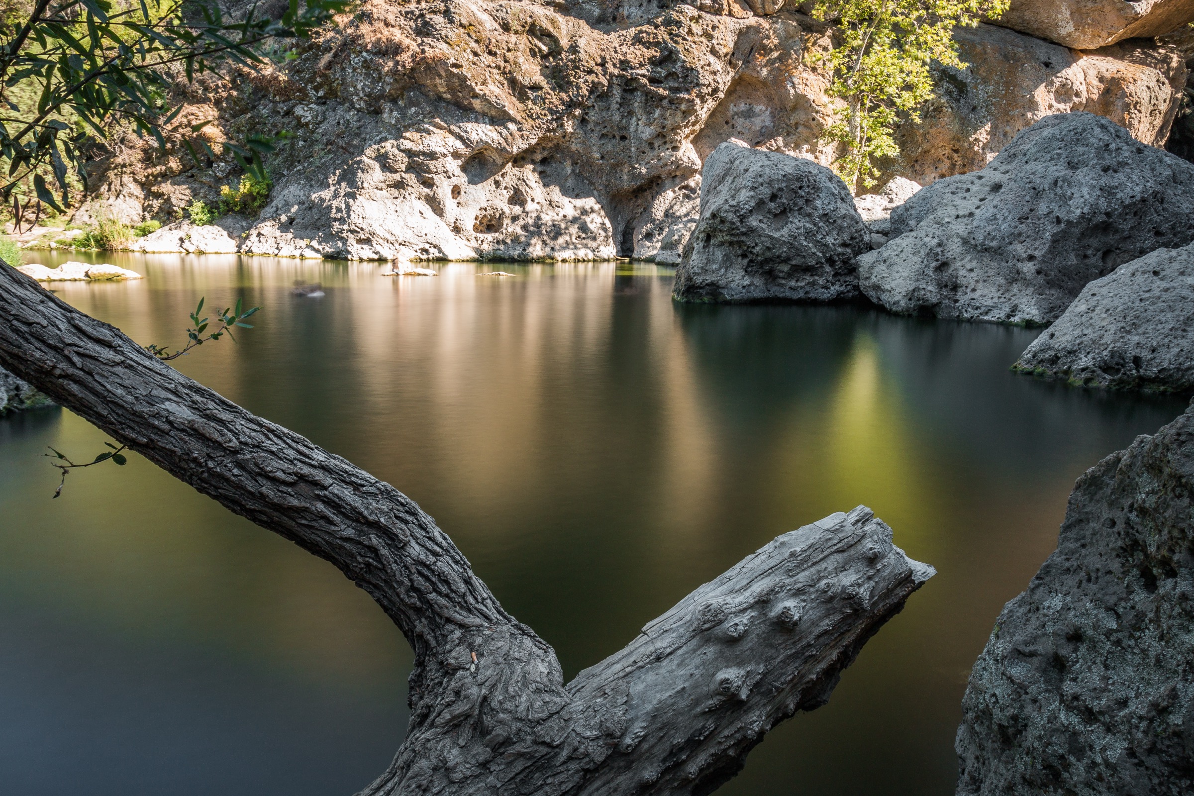
From the main lot the fire road follows Malibu Creek to the Rock Pool — a photogenic volcanic-conglomerate gorge popular with climbers and film crews — then continues past Century Lake to the MAS*H filming site, with its rusted vehicles and interpretive signage from the TV series’ 1972–83 run. Return by the same corridor or extend into the Cistern / Lookout Trail loops for more distance.
Why it is essential
The Santa Monica Mountains’ defining cultural-landscape hike: oak savanna, volcanic-looking rock, perennial water and a film-history site on one easy loop.
Equipment
- Trail shoes
- 2 L water
- Sun protection
- Cash or card for the state-park day-use fee
Hazards and notes
- Heat exposure on the exposed fire road; start early in summer.
- Poison oak in riparian sections.
- Climbing traffic at Rock Pool — watch for falling gear.
- Dogs allowed only in the campground, day-use area and paved roads, not on trails.
Routes and maps
| Source | URL |
|---|---|
| California State Parks — Malibu Creek State Park | parks.ca.gov |
| OpenStreetMap — Malibu Creek State Park | openstreetmap.org |
Further reading
5. Mugu Peak Trail
Snapshot
Itinerary
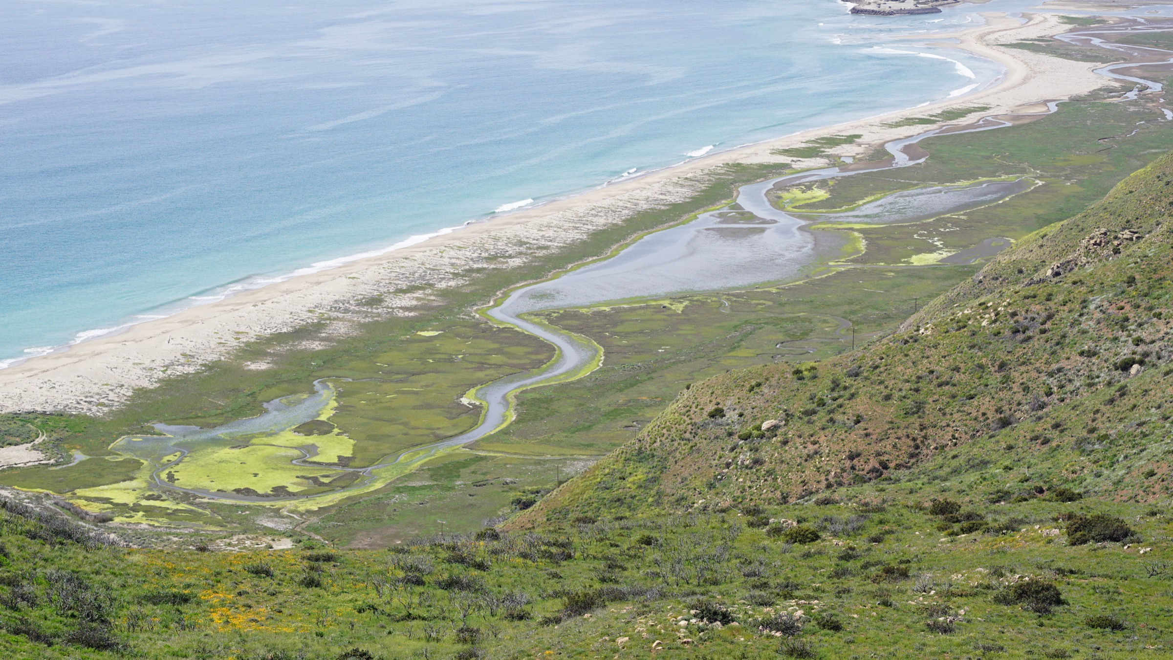
The route climbs directly from sea level on PCH to the Mugu Peak summit, gaining nearly 400 m in just over two kilometres. From the top the view takes in Mugu Lagoon, Point Mugu itself, the Boney Mountain crest inland, and the Channel Islands offshore. A short loop return via the Chumash Trail is possible when the coastal fire road is open.
Why it is essential
The compact coastal summit that defines the western end of the range — steep, brief and unusually direct for a Santa Monica Mountains hike.
Equipment
- Trail shoes with grip — the descent is steep and loose
- 1.5–2 L water
- Wind layer for the summit
- Sun protection — no shade on the climb
Hazards and notes
- Steep grades and loose footing on the direct climb and descent.
- Coastal wind on the summit can be strong year-round.
- Roadside parking on PCH — cross with care.
- No dogs on Point Mugu State Park trails.
Routes and maps
| Source | URL |
|---|---|
| California State Parks — Point Mugu State Park | parks.ca.gov |
| OpenStreetMap — Mugu Peak Trail | openstreetmap.org |
Further reading
Region-wide cautions
- Heat is the primary hazard on all five routes; start early from May through October and carry more water than the distances suggest.
- Chaparral fires reshape trail networks in the Santa Monica Mountains regularly — verify current NPS and California State Parks closure notices before travel.
- Post-Palisades Fire restrictions remained in force at Topanga State Park as of 2026-07-13; Temescal Canyon Trail was closed and other trails may be affected.
- Rattlesnakes, ticks and poison oak are the recurring biological hazards.
- Dogs are prohibited on most California State Park trails in this region; leashed dogs are allowed at Solstice Canyon (NPS).
Routes excluded
- Temescal Canyon Trail — closed under Palisades Fire restrictions as of 2026-07-13. Reconsider once Topanga State Park reopens the corridor.
- Backbone Trail through-hike — a multi-day traverse rather than a day-hike; the Sandstone Peak / Mishe Mokwa loop is the best single-day sample.