Regional overview
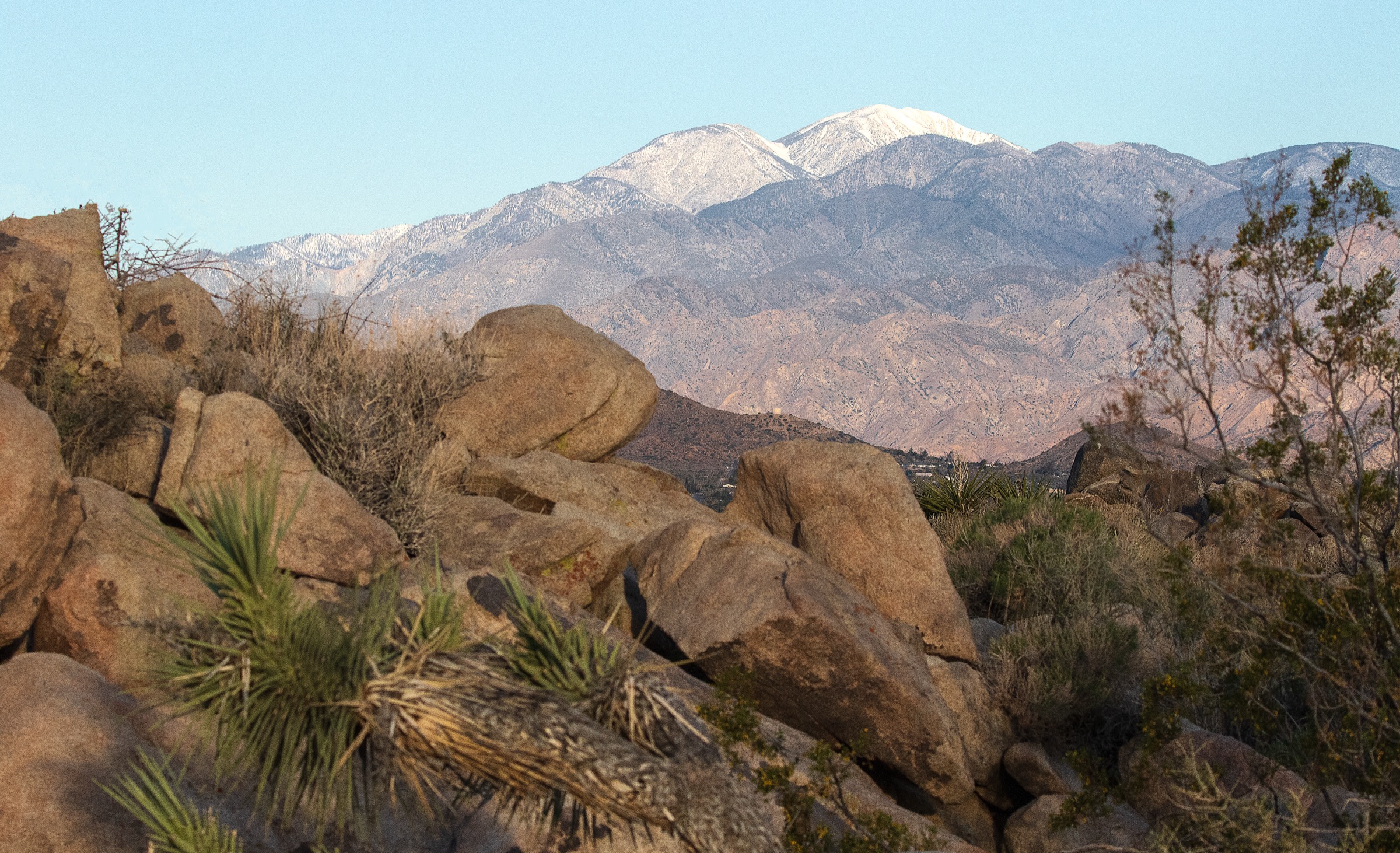
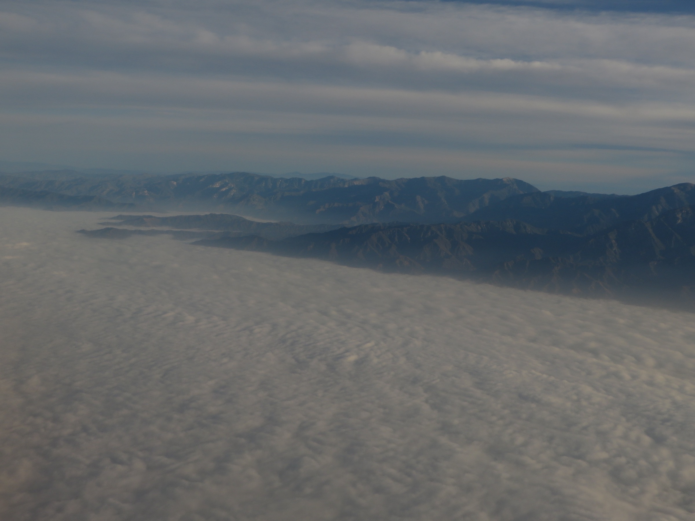
The San Gabriel Mountains rise abruptly above the Los Angeles Basin, with chaparral foothills, shaded canyons, high conifer slopes, alpine-style summit ridges, and the highest point in Los Angeles County on Mount San Antonio (Mount Baldy, 3,068 m / 10,064 ft). Federal management sits with the Angeles National Forest and the San Gabriel Mountains National Monument, with the Cucamonga Wilderness and Sheep Mountain Wilderness covering the higher and more remote portions.
This selection emphasises full-value day hikes that are region-defining, repeatable by prepared hikers, and spread across the range rather than clustered in one trailhead corridor. Current access note: Angeles National Forest alerts on 2026-07-13 listed high fire danger and an Eaton Fire Area Closure extending through 2027-12-31. Several front-range classics around Eaton Canyon and Mount Wilson were therefore not selected. Always re-check Angeles National Forest alerts, weather, heat, snow and river conditions before departure.
Access is by private vehicle everywhere; no verified public transport connects any of the five trailheads. Cell service is intermittent to non-existent above the front range. Angeles National Forest parking rules apply and an Adventure Pass (or Interagency pass) may be required at developed sites. Wilderness permits are required for the Cucamonga and Sheep Mountain wildernesses.
See also: San Bernardino Mountains, California · Topatopa / Sespe region, California.
Selection rationale
The five walks below balance the range’s major identities: the range high point at Mount San Antonio, the desert-river canyon experience of the Bridge to Nowhere via the East Fork Trail, the Pacific Crest Trail high country at Mount Baden-Powell, the Cucamonga Wilderness summit at Cucamonga Peak via Icehouse Canyon, and the quieter Mount Islip loop from Crystal Lake. They favour official public access and widely used route descriptions, while flagging where route files or licence-compatible photos were not found in this pass. Route stats were cross-checked against Angeles National Forest trail pages and the HikingGuy route guides (which publish GPX and CalTopo links); no downloadable GPX was retrieved in this pass.
Summary table
| # | Hike | Country | Route type | Distance | Gain | Max elevation | Difficulty |
|---|---|---|---|---|---|---|---|
| 1 | Mount San Antonio / Mount Baldy loop | USA | Loop | 17.7 km | 1,217 m | 3,068 m | Strenuous |
| 2 | Bridge to Nowhere via East Fork Trail | USA | Out-and-back | 16.1 km | 381 m | ~823 m | Moderate (harder in high water / heat) |
| 3 | Mount Baden-Powell via Vincent Gap | USA | Out-and-back (PCT) | 12.9 km | 853 m | 2,867 m | Strenuous |
| 4 | Cucamonga Peak via Icehouse Canyon | USA | Out-and-back | 19.3 km | 1,250 m | 2,701 m | Strenuous |
| 5 | Mount Islip from Crystal Lake | USA | Loop | 16.9 km | 853 m | 2,515 m | Strenuous |
1. Mount San Antonio / Mount Baldy via Devil’s Backbone and Baldy Bowl
Snapshot
Itinerary
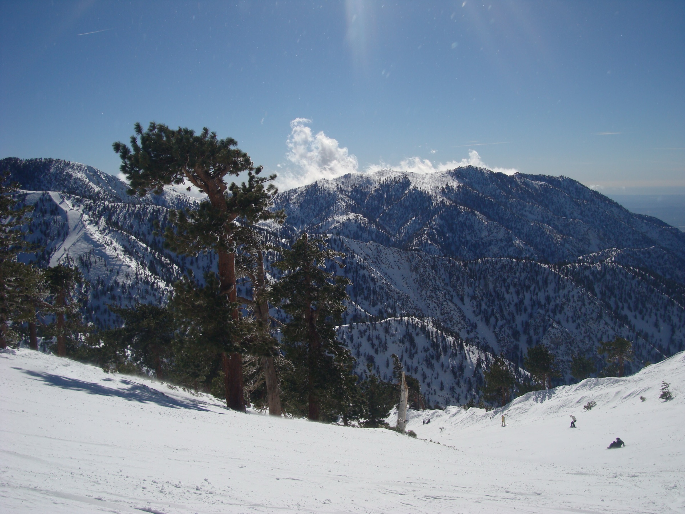
From Manker Flats, climb past San Antonio Falls on Falls Road and ascend to the Devil’s Backbone ridge — an exposed traverse to the summit of Mount San Antonio (Mount Baldy). Descend the steeper Baldy Bowl / Ski Hut Trail, passing the Sierra Club Ski Hut area, back to Manker Flats.
Why it is essential
The defining summit hike of the San Gabriel Mountains and the range high point. The loop combines exposed ridge, high summit, and steep bowl descent in a single day.
Equipment
- Sturdy hiking boots
- Trekking poles
- 3 L water
- High-calorie food
- Wind and rain shell
- Warm layer (summit is often 15 °C colder than the valley)
- Sun protection
- Offline map and GPS
- Microspikes / crampons and ice axe only when snow-covered — treat as mountaineering in winter
Hazards and notes
- Snow, ice, exposure, altitude, heat and thunderstorms — a documented history of serious incidents on the Baldy Bowl route.
- Winter, spring and early summer conditions can require full mountaineering skills.
- Angeles National Forest parking rules apply; Adventure/Interagency pass may be required.
- Verify current fire restrictions and closures.
GPX / route file
| Source | URL | Format | Notes |
|---|---|---|---|
| Angeles National Forest — Baldy Bowl Trail | fs.usda.gov | Official trail page | Use for current status and hazard guidance |
| HikingGuy — Mt Baldy Hike | hikingguy.com | Web guide with GPX and CalTopo links | Site terms apply; do not reuse geometry without checking |
| OpenStreetMap search | openstreetmap.org | Source map | Reusable only under ODbL terms with attribution/share-alike |
Sources
- Angeles National Forest — Baldy Bowl Trail
- HikingGuy — Mt Baldy Hike
- Mount San Antonio — reference page
2. Bridge to Nowhere via East Fork Trail
Snapshot
Itinerary
Follow the East Fork San Gabriel River through a broad canyon to the abandoned concrete arch known as the Bridge to Nowhere. The route uses rocky stream bottom, includes several stream crossings, and passes through the Sheep Mountain Wilderness — a wilderness permit is required at the kiosk. Return by the same route.
Why it is essential
One of the most unusual day hikes in Southern California: part river walk, part canyon route, and part local history lesson from the failed 1930s road project.
Equipment
- Trail runners or hiking shoes that can get wet
- Trekking poles
- 3 L water and treatment
- Sun protection
- Wading footwear if water is high
- Insect repellent
- Offline map
Hazards and notes
- Repeated stream crossings; flash-flood risk — do not enter in rainy conditions.
- Heat and loose rock; no safe passage during or after storms.
- Wilderness permit required at the kiosk when entering Sheep Mountain Wilderness.
- Angeles National Forest parking rules apply.
GPX / route file
| Source | URL | Format | Notes |
|---|---|---|---|
| Angeles National Forest — East Fork Trail | fs.usda.gov | Official trail page | Use for current status and hazard guidance |
| HikingGuy — Bridge to Nowhere Hike | hikingguy.com | Web guide with GPX and CalTopo links | Site terms apply |
| OpenStreetMap search | openstreetmap.org | Source map | Reusable only under ODbL terms with attribution/share-alike |
Sources
- Angeles National Forest — East Fork Trail
- HikingGuy — Bridge to Nowhere Hike
- Bridge to Nowhere (San Gabriel Mountains) — reference page
3. Mount Baden-Powell via Vincent Gap
Snapshot
Itinerary
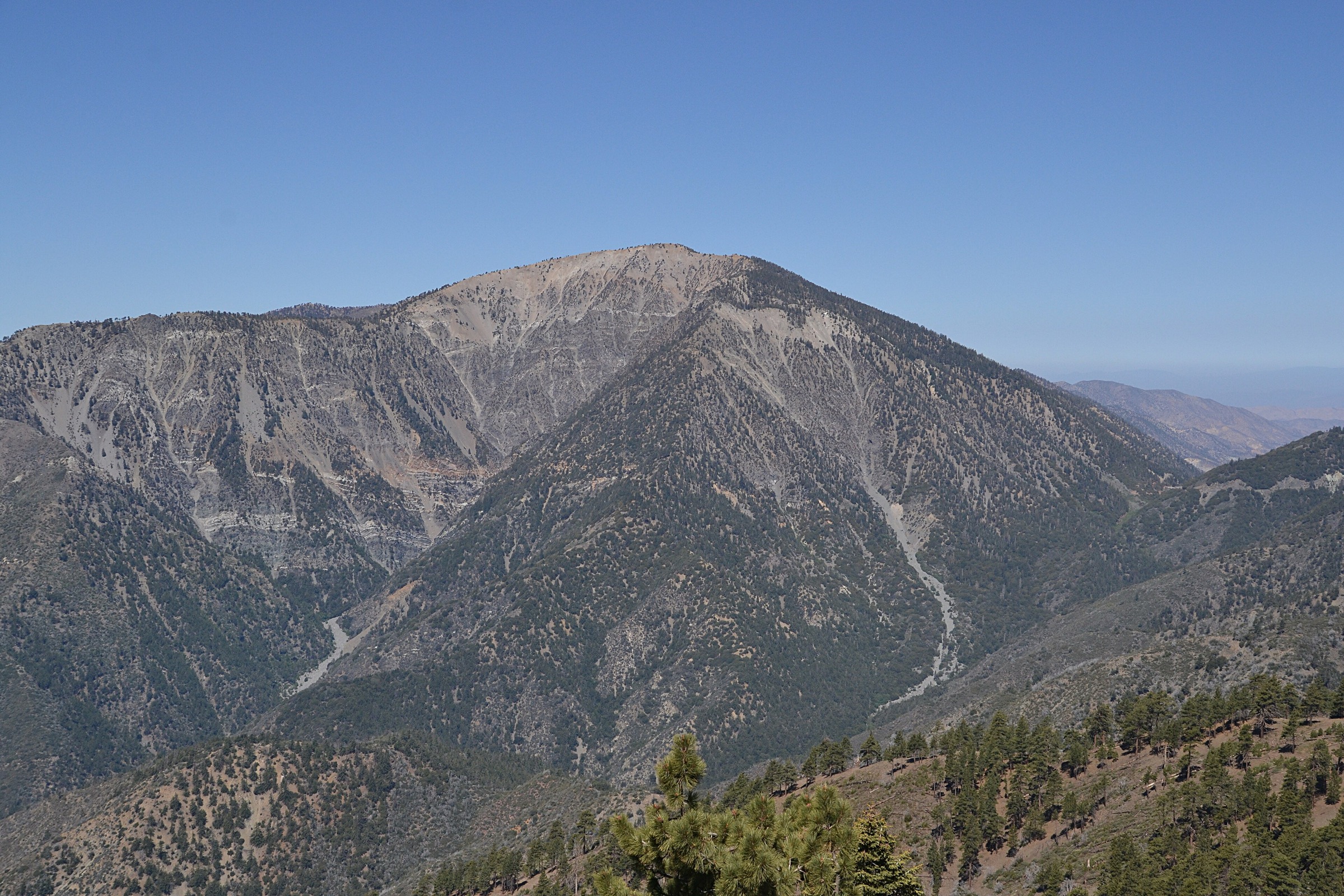
From Vincent Gap on Highway 2, climb a sustained sequence of Pacific Crest Trail switchbacks to the airy summit of Mount Baden-Powell, with long views across the Mojave edge, Mount Baldy and the crest of the range. Return the same way.
Why it is essential
The most elegant high-country day hike in the eastern San Gabriels — shorter than Baldy or Cucamonga but still serious because most of the route sits at high elevation.
Equipment
- Hiking boots
- Trekking poles
- 2.5–3 L water
- Wind and rain shell
- Warm layer
- Sun protection
- Offline map
- Microspikes in shoulder season
Hazards and notes
- Snow and ice can linger on shaded aspects well after lower trails feel like summer.
- Altitude, exposed switchbacks, lightning, heat.
- Long emergency response times; verify Highway 2 status, fire closures and snow conditions.
GPX / route file
| Source | URL | Format | Notes |
|---|---|---|---|
| HikingGuy — Mt Baden-Powell | hikingguy.com | Web guide with GPX and CalTopo links | Site terms apply |
| Pacific Crest Trail Association | pcta.org | Trail organisation site | Context source only |
| OpenStreetMap search | openstreetmap.org | Source map | Reusable only under ODbL terms with attribution/share-alike |
Sources
4. Cucamonga Peak via Icehouse Canyon
Snapshot
Itinerary
Climb the wooded Icehouse Canyon past Icehouse Saddle, then leave the canyon world on the ridge trail to the broad south-facing summit of Cucamonga Peak, with views across the Inland Empire, the Los Angeles Basin and neighbouring high peaks. Return the same way.
Why it is essential
One of the great balcony summits of the range and the standard Cucamonga Wilderness day hike — a full mountain day at the southern edge of the San Gabriels.
Equipment
- Sturdy hiking boots
- Trekking poles
- 3–4 L water (no reliable water beyond the canyon)
- Wind and rain shell
- Warm layer
- Sun protection
- Offline map and GPS
- Microspikes in shoulder season
Hazards and notes
- Snow, ice and avalanche terrain in winter.
- Heat on the summit block; no reliable water beyond the canyon.
- Long descent after summit fatigue.
- Wilderness permit required for Cucamonga Wilderness; limited parking at Icehouse Canyon.
GPX / route file
| Source | URL | Format | Notes |
|---|---|---|---|
| Angeles National Forest — Icehouse Canyon Trail | fs.usda.gov | Official trail page | Use for current status, permits and hazard guidance |
| HikingGuy — Cucamonga Peak Hike | hikingguy.com | Web guide with GPX and CalTopo links | Site terms apply |
| OpenStreetMap search | openstreetmap.org | Source map | Reusable only under ODbL terms with attribution/share-alike |
Sources
- Angeles National Forest — Icehouse Canyon Trail
- HikingGuy — Cucamonga Peak Hike
- Cucamonga Peak — reference page
5. Mount Islip from Crystal Lake
Snapshot
Itinerary
From the Crystal Lake Recreation Area, follow the loop through forested basins to Windy Gap and continue on the ridge to the summit of Mount Islip, with views into the interior of the range. Return via the loop.
Why it is essential
The quieter crest hike of this set — less famous than Baldy, less crowded than Icehouse Canyon on many days, and rich in high-San-Gabriel character. It shows the San Gabriels as a mountain range rather than only a backdrop to Los Angeles.
Equipment
- Hiking boots
- Trekking poles
- 3 L water
- Wind and rain shell
- Warm layer
- Sun protection
- Offline map (route-finding matters at junctions)
Hazards and notes
- Heat on exposed slopes; snow on shaded high-country sections.
- Route-finding at junctions; long dry stretches.
- Verify Highway 39 status and Crystal Lake access before travel.
GPX / route file
| Source | URL | Format | Notes |
|---|---|---|---|
| HikingGuy — Mt Islip from Crystal Lake | hikingguy.com | Web guide with GPX and CalTopo links | Site terms apply |
| Angeles National Forest — maps and guides | fs.usda.gov | Official map portal | Use for manual route checking and current trail-status context |
| OpenStreetMap search | openstreetmap.org | Source map | Reusable only under ODbL terms with attribution/share-alike |
Sources
- HikingGuy — Mt Islip from Crystal Lake
- Angeles National Forest — maps and guides
- Angeles National Forest — recreation
Region-wide cautions
- Check Angeles National Forest alerts before every trip; the Eaton Fire Area Closure was in effect through 2027-12-31 as of 2026-07-13.
- Wilderness permits are required for the Cucamonga and Sheep Mountain wildernesses; carry the permit stub.
- Adventure Pass or Interagency pass may be required at developed sites; verify parking rules.
- Snow, ice and avalanche hazards on the high summits (Baldy, Baden-Powell, Cucamonga) can persist well into spring.
- Flash floods on the East Fork after storms make the Bridge to Nowhere route dangerous or impassable — do not attempt in rain.
- Heat is a serious hazard on lower-elevation routes from late spring through autumn.
Further reading
- Angeles National Forest — alerts
- Angeles National Forest — recreation
- Angeles National Forest — maps and guides
- San Gabriel Mountains National Monument
- San Gabriel Mountains — reference page
- Companion article on this site: USA — San Jacinto Mountains, California: essential day-hikes — the neighbouring Peninsular Ranges high country south-east of the San Gabriels.
Missing data / follow-up work
- No downloadable GPX or KML was retrieved for any of the five routes; route-file status rests on the Angeles National Forest trail pages, HikingGuy GPX/CalTopo guides and OpenStreetMap.
- Licence-compatible route-specific images for Bridge to Nowhere, Mount Baden-Powell, Cucamonga Peak and Mount Islip were not resolved above the site’s 2000 px floor; only a range-context cover is currently in place.
- Current-year wilderness permit procedures, Adventure Pass rules and Eaton Fire Area Closure status should be re-checked against the Angeles National Forest before publication.
- Highway 39 and Crystal Lake road status should be verified for the Mount Islip loop, as this access is subject to seasonal and post-fire closures.