Regional overview
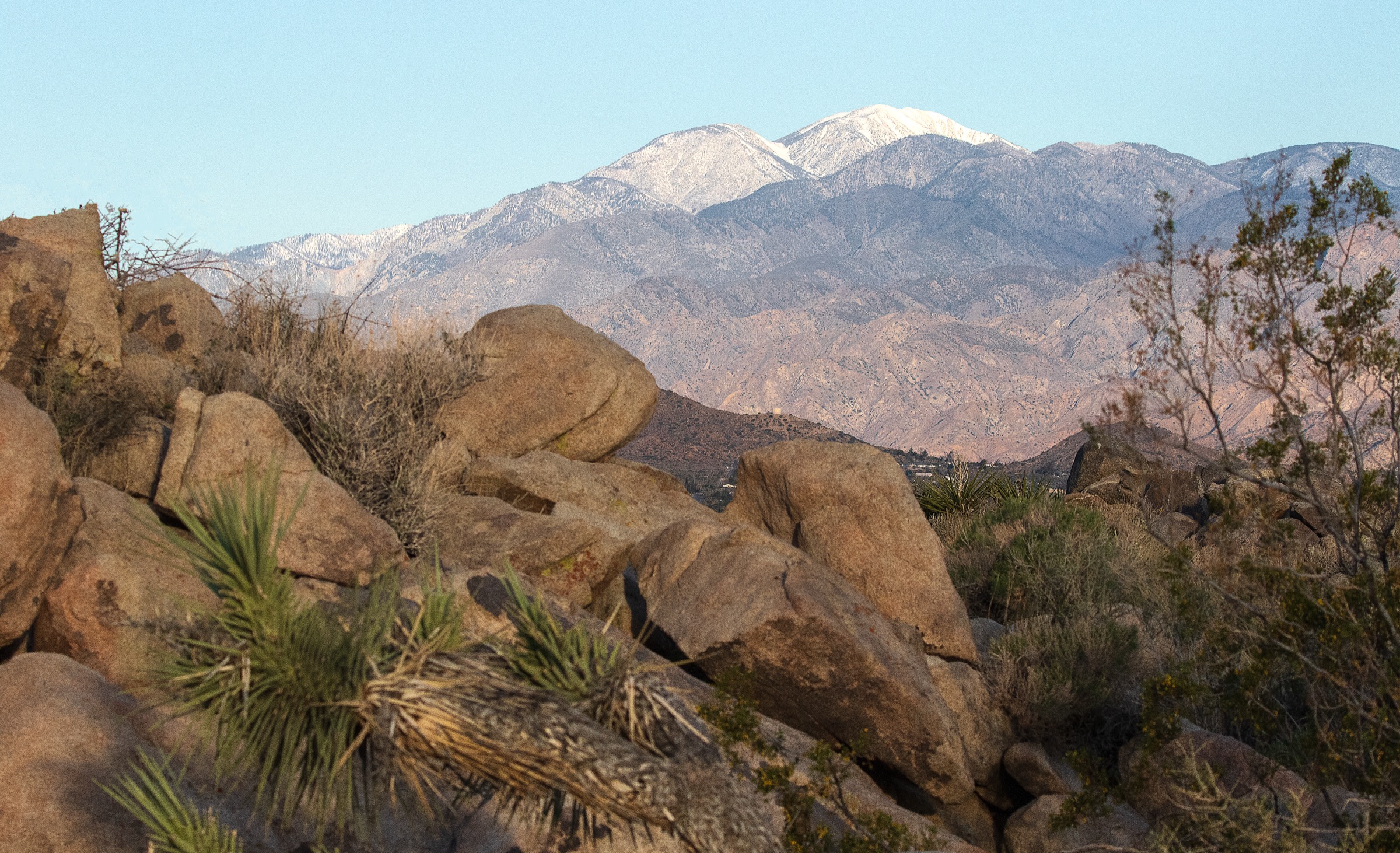
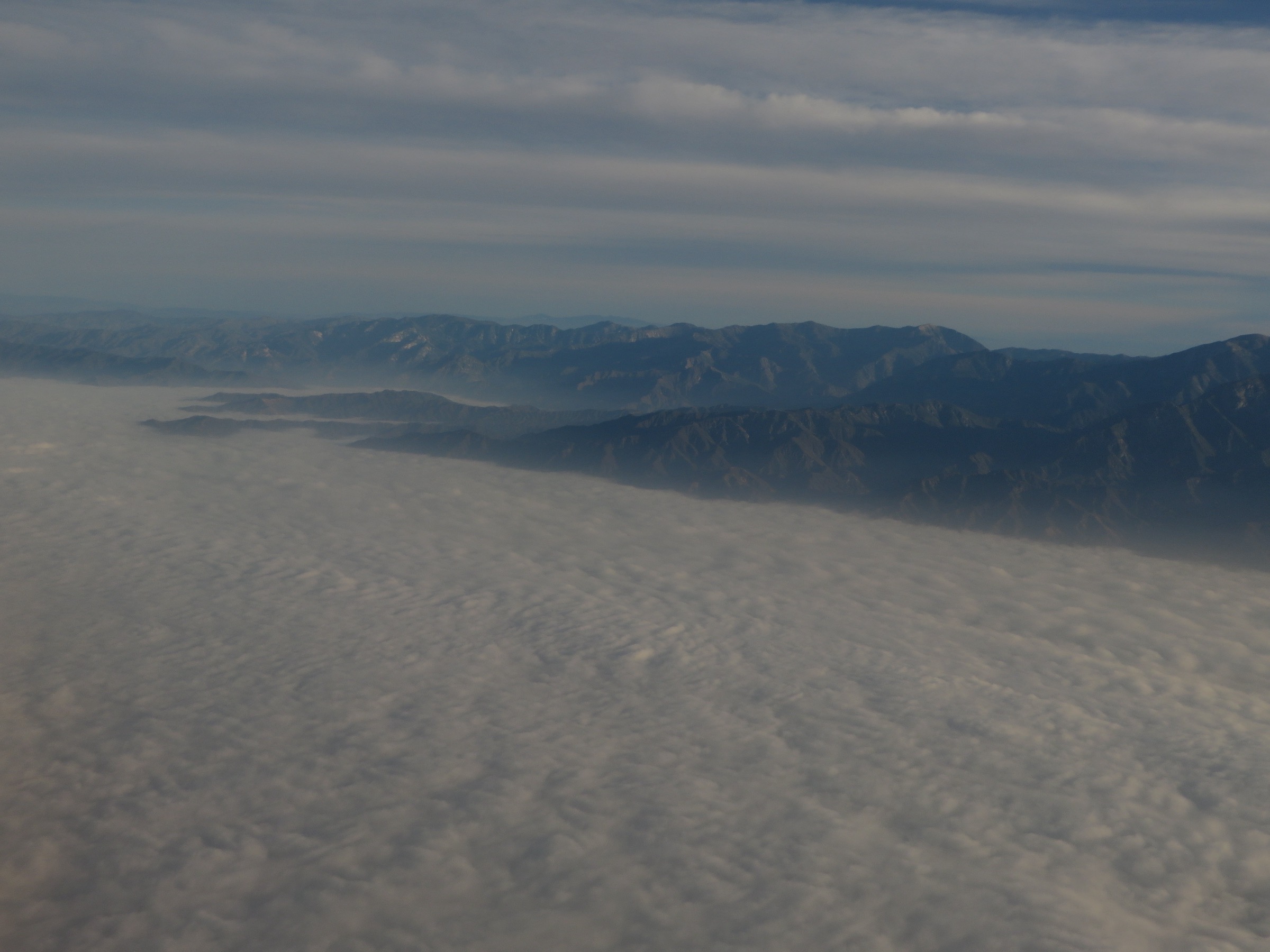
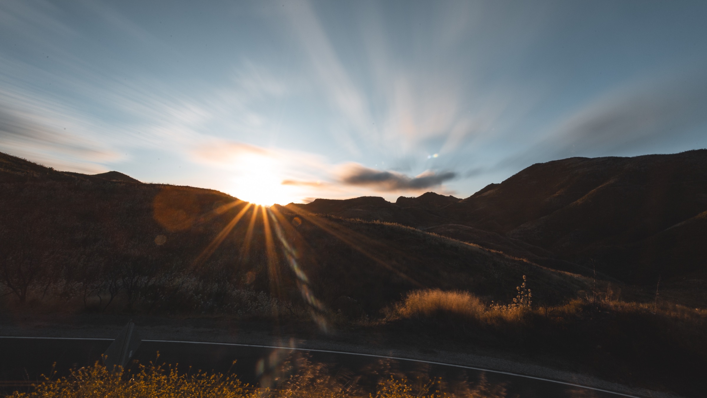
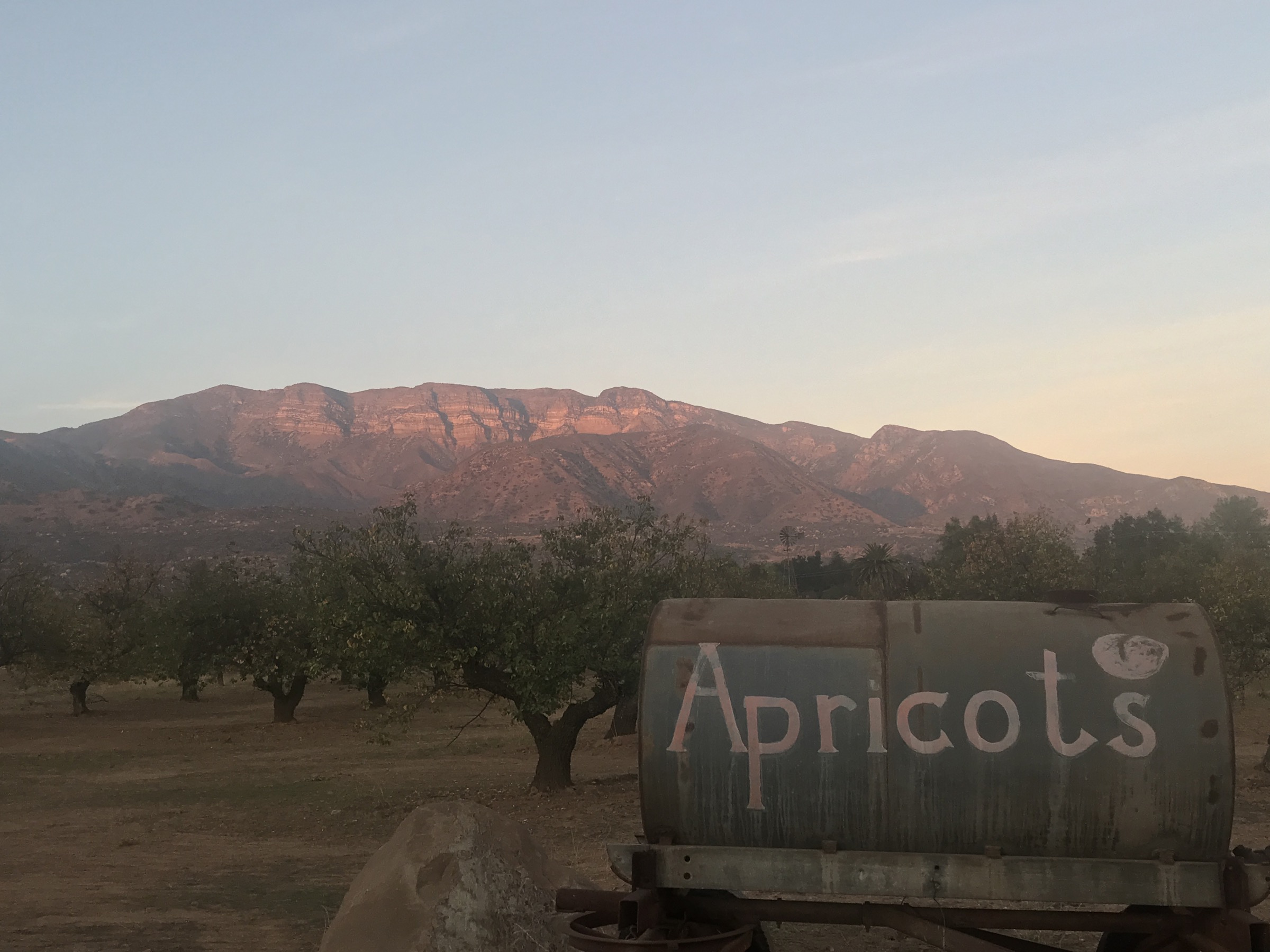
The Tehachapi Mountains form a compact but important transverse-range bridge between the southern Sierra Nevada, the Coast Ranges, the western Mojave Desert and the San Joaquin Valley. The hiking character is shaped by that junction: oak woodland, grassland, wind-swept ridges, conifer pockets near Tehachapi Mountain, desert-edge Pacific Crest Trail segments and culturally important Kawaiisu sites.
Public hiking access is more limited and fragmented than in many national-forest regions. The strongest day-hike options are Tehachapi Mountain Park, the PCT around Tehachapi Willow Springs Road and Tehachapi Pass, local Tehachapi Mountain Trails Association (TMTA) routes, Wind Wolves Preserve on the western ecological edge of the Tehachapi / San Emigdio transition, and guided access to Tomo-Kahni State Historic Park.
The best season is spring and autumn, with winter possible at lower elevations and summer often hot, dry and windy. Higher ridges can receive snow, and the pass area is exposed to strong winds. Common hazards include heat, limited shade, rattlesnakes, ticks, poison oak in canyons, high fire danger, private-land boundaries, wind-farm access limits, and the need to respect sensitive cultural sites.
See also: Topatopa / Sespe region, California · Santa Monica Mountains, California.
Selection rationale
The five hikes cover the region’s essential public experiences: Tehachapi Mountain for the high summit forest, the PCT from Tehachapi Willow Springs Road for the national scenic trail and wind-pass landscape, TMTA Lehigh for the town’s modern community trail network, San Emigdio Canyon for the Wind Wolves wildlife corridor and riparian canyon, and Tomo-Kahni for the guided Kawaiisu cultural landscape. Several higher Tehachapi summits and Tejon Ranch lands are not included because public access was not verified.
Summary table
| # | Hike | Country | Route type | Distance | Gain | Max elevation | Difficulty |
|---|---|---|---|---|---|---|---|
| 1 | Tehachapi Mountain Trail | USA | Out-and-back | 6.9 km | 518 m | ~2,426 m | Hard |
| 2 | PCT South from Tehachapi Willow Springs Road | USA | Out-and-back | 12.7 km | 453 m | Not verified | Moderate |
| 3 | TMTA Lehigh Trail Loop | USA | Loop | 17.2 km | 389 m | Not verified | Moderate |
| 4 | San Emigdio Canyon Trail, Wind Wolves Preserve | USA | Out-and-back | 11.6 km | 254 m | Not verified | Moderate |
| 5 | Tomo-Kahni guided walking tour | USA | Guided out-and-back / interpretive | Not published | Not published | Not verified | Moderate / guided only |
1. Tehachapi Mountain Trail
Snapshot
Itinerary
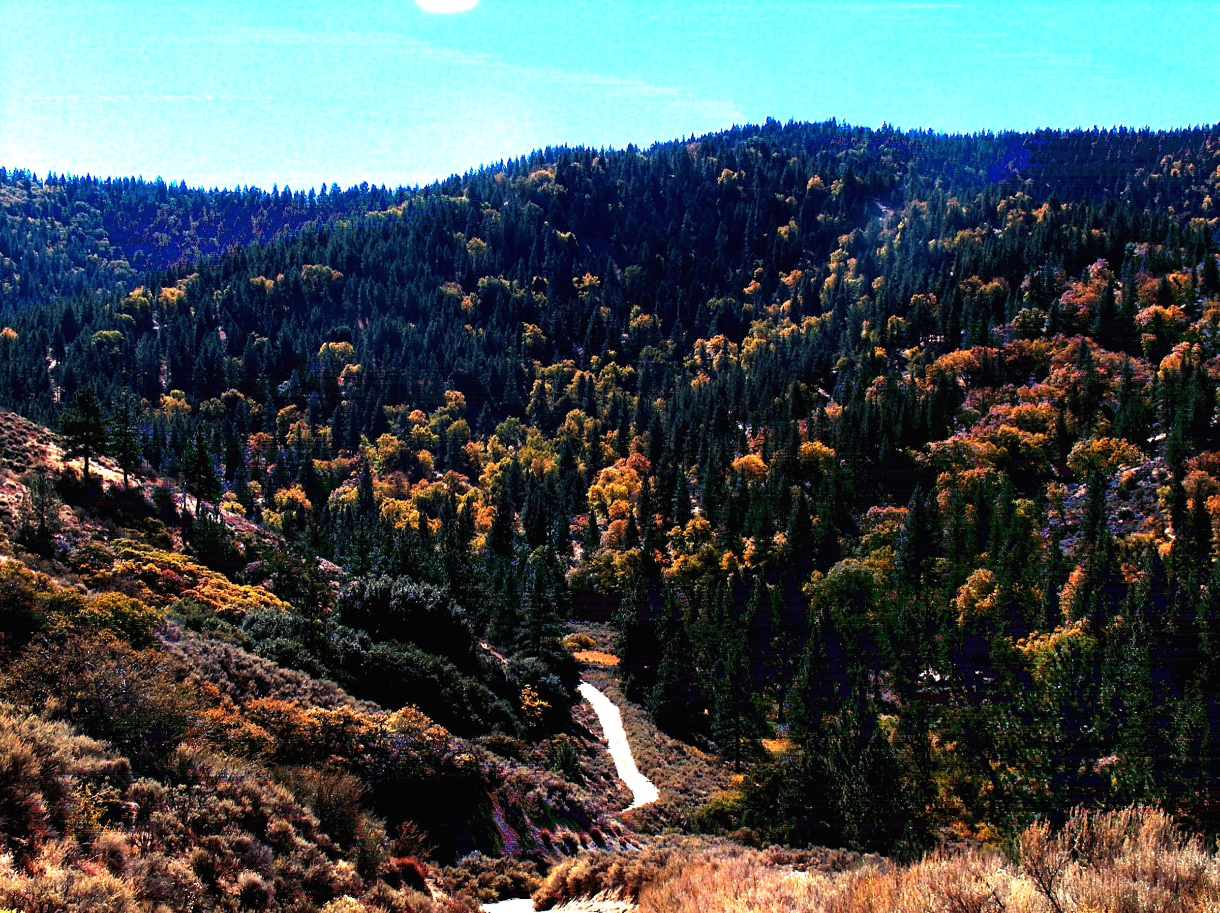
Climb from Tehachapi Mountain Park through forested and open mountain slopes toward the crest of Tehachapi Mountain. The upper section reaches one of the highest accessible public hiking objectives in the range, with views toward the Tehachapi Valley, Double Mountain, Covington Mountain, the Mojave side of the pass and the southern Sierra transition.
Why it is essential
Tehachapi Mountain is the most direct public summit hike in the region and gives the clearest sense of the range’s high-elevation character.
Equipment
- Sturdy boots
- Sun protection
- Water; warm layer; wind layer
- Map and GPS
- Traction only if winter conditions indicate snow or ice
Hazards and notes
- Short but steep — pace the ascent.
- Wind, winter snow, hot lower slopes, limited water and wildfire closures.
- Check Kern County park access rules and dog / leash requirements before travel.
GPX / route file
| Source | URL | Format | Notes |
|---|---|---|---|
| AllTrails — Tehachapi Mountain Trail | alltrails.com | Source map / proprietary trail database | Direct GPX not retrieved; do not reuse proprietary geometry directly |
| OpenStreetMap search | openstreetmap.org | Source map | Reusable only under ODbL terms with attribution/share-alike |
Sources
2. PCT South from Tehachapi Willow Springs Road
Snapshot
Itinerary
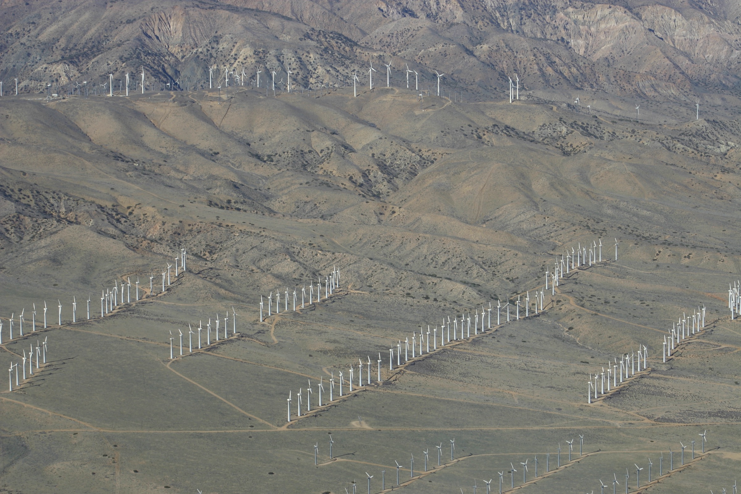
From Tehachapi Willow Springs Road, follow the Pacific Crest Trail south across open desert-edge hills and wind-exposed ridges. The day-hike version uses an out-and-back turnaround rather than attempting a long PCT section. Views include the Tehachapi wind-energy landscape, Mojave Desert margins and the broad pass between the Sierra Nevada and the Transverse Ranges.
Why it is essential
The PCT is the most nationally important trail crossing the Tehachapi region. This section gives a practical day-hike sample of the long-distance route and the distinctive wind-pass landscape without committing to a multi-day section hike.
Equipment
- Standard hiking equipment in mild weather; mountain hiking equipment in winter or high wind
- Water (do not expect any on route)
- Sun protection; wind layer; warm layer
- Map and GPS
- Headlamp if starting late
Hazards and notes
- Exposed to wind and sun with little shade.
- Watch for rattlesnakes; heat illness; high fire danger.
- Wind-farm and private-property boundaries away from the PCT corridor — stay on the PCT.
GPX / route file
| Source | URL | Format | Notes |
|---|---|---|---|
| AllTrails — PCT South via Tehachapi Willow Springs Road | alltrails.com | Source map / proprietary trail database | Direct GPX not retrieved; do not reuse proprietary geometry directly |
| Pacific Crest Trail Association — maps and data portal | pcta.org | Official map and GIS-data portal | Official map/data starting point; file reuse unresolved |
| OpenStreetMap search | openstreetmap.org | Source map | Reusable only under ODbL terms with attribution/share-alike |
Sources
3. TMTA Lehigh Trail Loop
Snapshot
Itinerary
The loop uses the Lehigh-area singletrack and multi-use trail network near Tehachapi. It rolls through open foothill terrain with views back toward town and the surrounding ridges — a practical local day hike rather than a remote backcountry objective.
Why it is essential
TMTA Lehigh represents Tehachapi’s modern community trail culture. It adds a local, repeatable hiking option to a region otherwise dominated by the PCT, high summit routes and managed-preserve access.
Equipment
- Standard hiking or trail-running shoes
- Water; sun protection
- Map and GPS
- Wind layer
Hazards and notes
- Shared-use trail network — watch for mountain bikes; stay on signed routes.
- Avoid muddy conditions if the trail system requests seasonal protection.
- Heat, wind and rattlesnakes are standard regional considerations.
GPX / route file
| Source | URL | Format | Notes |
|---|---|---|---|
| AllTrails — TMTA Lehigh Trail Loop | alltrails.com | Source map / proprietary trail database | Direct GPX not retrieved; do not reuse proprietary geometry directly |
| OpenStreetMap search | openstreetmap.org | Source map | Reusable only under ODbL terms with attribution/share-alike |
Sources
4. San Emigdio Canyon Trail, Wind Wolves Preserve
Snapshot
Itinerary
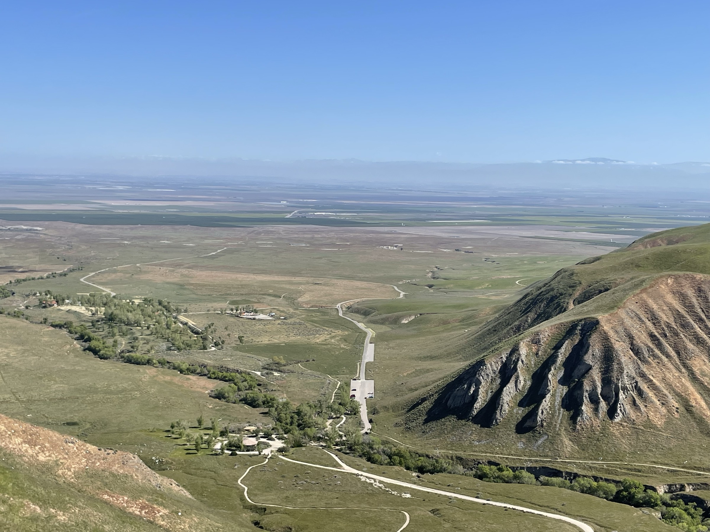
Follow San Emigdio Canyon within Wind Wolves Preserve, passing riparian vegetation, oak savanna, canyon walls, picnic areas and wildlife-viewing terrain. The day-hike version turns around within the open public trail corridor rather than attempting restricted or unofficial extensions.
Why it is essential
Wind Wolves Preserve is one of the major protected landscapes on the western edge of the Tehachapi system and a key wildlife corridor between the Coast Ranges and Sierra Nevada. San Emigdio Canyon gives the most accessible walking sample of that landscape.
Equipment
- Standard hiking shoes or light boots
- Water; sun protection
- Map; wind layer
- Tick protection
- Binoculars useful for wildlife
Hazards and notes
- Wildlands Conservancy hours: 7 am to 4 pm daily; admission free; dogs on leash.
- Prohibited: fires, hunting or shooting, smoking/alcohol, collecting, drones, off-highway vehicles.
- Safety: mountain lion, black bear, rattlesnake, ticks, stinging nettle and poison oak.
GPX / route file
| Source | URL | Format | Notes |
|---|---|---|---|
| AllTrails — San Emigdio Canyon Trail | alltrails.com | Source map / proprietary trail database | Direct GPX not retrieved; do not reuse proprietary geometry directly |
| The Wildlands Conservancy — Wind Wolves Preserve trail map (PDF) | wildlandsconservancy.org | Official PDF trail map | Reuse terms not stated on the map |
| OpenStreetMap search | openstreetmap.org | Source map | Reusable only under ODbL terms with attribution/share-alike |
Sources
5. Tomo-Kahni guided walking tour
Snapshot
Itinerary
California State Parks requires visitors to begin with an orientation in Tehachapi, then caravan or carpool about 12 miles to the park, where trained State Park volunteers lead the walking tour. The route visits the protected Kawaiisu “Winter Village” landscape on a ridge in the Tehachapi Mountains. Visitors must remain with the guide and on the approved trail.
Why it is essential
Tomo-Kahni is the region’s key cultural walking route. It represents the Kawaiisu history of the Tehachapi Mountains and belongs in the catalogue because the region’s essential hiking identity is not only summits and PCT ridges, but also protected Indigenous cultural landscape.
Equipment
- Hiking shoes
- Water; sun protection; light layer
- Any items required by the tour operator
- High-clearance vehicle recommended by State Parks for the drive after orientation
Hazards and notes
- Access by guided tour only; reservations required.
- Dogs not permitted (except trained service animals).
- Prohibited: smoking on trails, collecting, leaving the approved tour route, drones.
- Photography or filming for some uses may require permits.
GPX / route file
| Source | URL | Format | Notes |
|---|---|---|---|
| California State Parks — Tomo-Kahni State Historic Park | parks.ca.gov | Official access and tour page | No route file; sensitive site |
| OpenStreetMap search | openstreetmap.org | Map context only | Do not use to infer sensitive route geometry |
Sources
Further reading
- Pacific Crest Trail Association — maps
- The Wildlands Conservancy — Wind Wolves Preserve
- Wind Wolves Preserve trail map (PDF)
- California State Parks — Tomo-Kahni State Historic Park
- Tehachapi Mountains — reference page
- Tehachapi, California — reference page
Missing data / follow-up work
- Direct GPX / KML downloads were not retrieved for any of the five routes.
- Official Kern County information for Tehachapi Mountain Park and official TMTA route files need follow-up verification.
- Maximum elevations remain unresolved for the PCT, TMTA Lehigh and San Emigdio Canyon routes.
- Tomo-Kahni route distance, elevation gain and geometry are intentionally not inferred; official guided-tour constraints should remain in the entry.
- Hike-specific licence-compatible photos were not found at the site’s 2000 px floor for TMTA Lehigh or Tomo-Kahni; the source-flagged Tehachapi crest and low-res wind farm candidates are below floor and have been replaced with larger regional equivalents.
- Public transport was not verified for any trailhead.