Regional overview
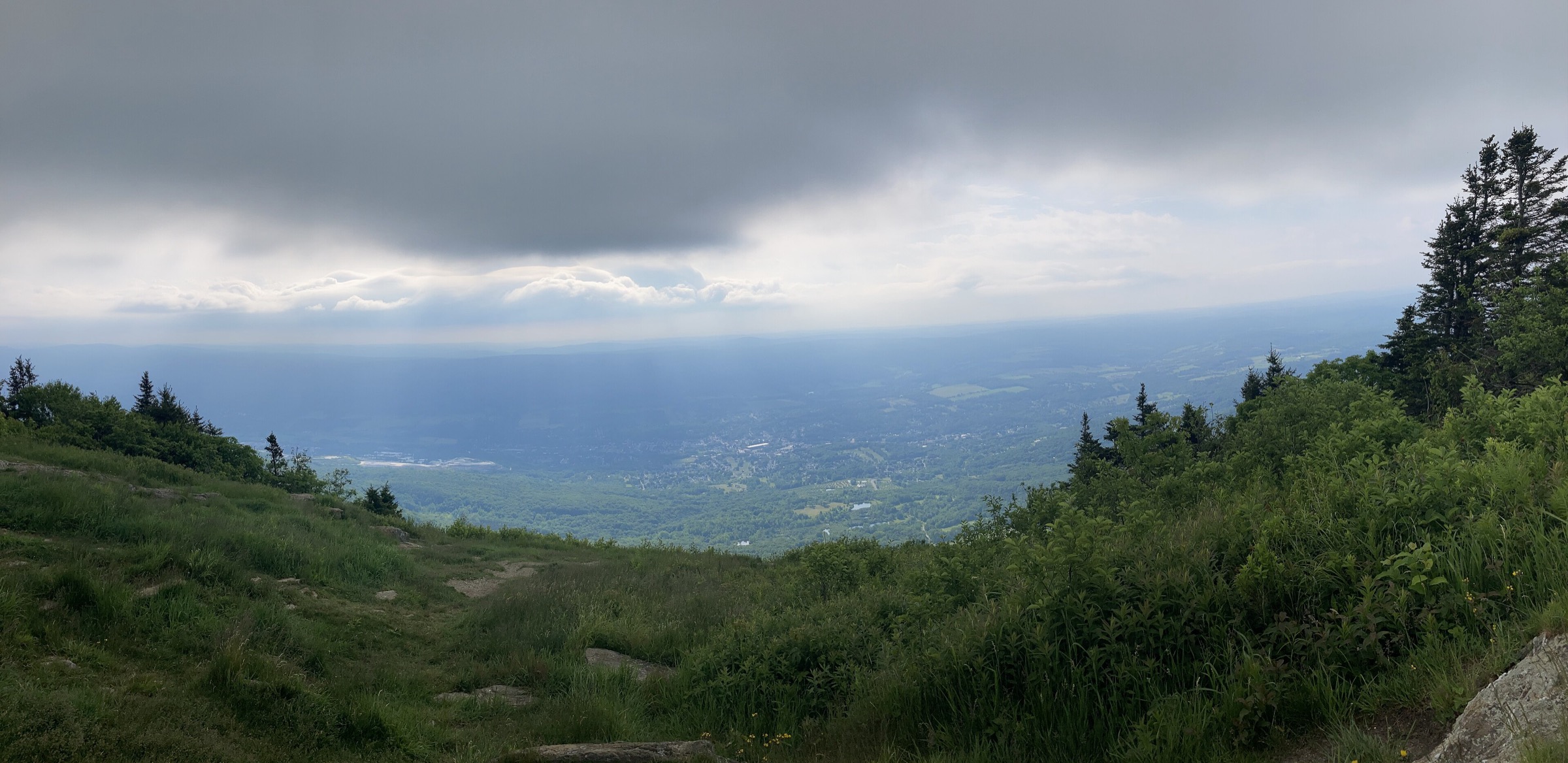
The Berkshire and Taconic Mountains form the western spine of Massachusetts and its adjoining slivers of New York, Connecticut and Vermont — two parallel ridge systems separated by the Housatonic valley. The Berkshires proper are the broader eastern block, with a rolling schist plateau rising to Mount Greylock at 1,064 m (3,491 ft) — the highest point in Massachusetts. The Taconics run in a narrower, sharper north–south wall along the Massachusetts / New York border, culminating in Mount Everett at 793 m (2,602 ft), Alander Mountain at 683 m (2,240 ft), and Brace and Bear Mountains on the New York and Connecticut side. The two ranges are geologically distinct — the Taconics are older, more folded and dominated by quartzite and phyllite — but they walk as a single upland region and are usually treated together in New England hiking literature.
Land management is fragmented but generous. The Massachusetts Department of Conservation and Recreation (DCR) runs the state reservations at Mount Greylock, Mount Everett, Mount Washington, Bash Bish Falls and October Mountain. The Trustees of Reservations, the world’s oldest regional land trust, protect Monument Mountain above Great Barrington, Bartholomew’s Cobble on the Housatonic, and Notchview near Windsor. The Berkshire Natural Resources Council holds a number of ridge and valley parcels, and Taconic State Park on the New York side covers the western flank of the range at Bash Bish and Alander. The Appalachian Trail crosses the region from Sages Ravine at the Connecticut line, over Mount Everett, Mount Race, June Mountain and Mount Wilcox, then descends into the Housatonic valley before climbing again over East Mountain and the Greylock massif.
The walking season is essentially year-round but with distinct phases. Late April brings mud and swollen streams; May and June deliver wildflowers and running waterfalls; July and August are warm and humid with active thunderstorm risk on the ridges; September and October are the region’s classic hiking window with hardwood colour; November brings hunting season and shorter daylight; December to March is snowshoe and microspike country, with real winter conditions on the exposed Greylock and Race Mountain summits. The Mount Greylock summit auto road (Rockwell Road / Notch Road) opens Memorial Day weekend and closes for winter typically at the end of October — trailheads for the summit and the Cheshire Harbor / Bellows Pipe / Bernard Farm approaches are open year-round on foot.
Hazards are moderate but real. The Taconic ridge from Race Mountain south is exposed cliff walking with unfenced drops, and thunderstorms build quickly on hot summer afternoons. Rattlesnakes are present but rarely seen on the Mount Everett / Race Mountain ledges. Ticks — including deer ticks carrying Lyme disease — are the region’s most consistent hazard from April through October and demand daily body checks. Bears are present throughout the Berkshires but rarely aggressive. Cellular coverage is unreliable on the ridges and absent in Bash Bish gorge, the Alander valley and much of the Mount Washington State Forest.
Selection rationale
The five walks below span the region’s four main landscape types — the flagship state-high-point summit, the southern Berkshire ridge climb on the AT, the iconic waterfall gorge, the Taconic ridge with its grasslands and cliff views, and the culturally significant Trustees reservation. Mount Greylock via the Cheshire Harbor Trail is the classic direct approach to the Massachusetts high point with its Veterans War Memorial Tower. Mount Everett via Race Brook Falls is the standard climb of the southern Berkshires’ high point on the Appalachian Trail. Bash Bish Falls is the iconic short waterfall walk shared between Massachusetts and New York. Alander Mountain gives the essential South Taconic ridge experience with its distinctive grassland summit. Monument Mountain in Great Barrington is the Trustees’ most historically resonant Berkshire hilltop and a short outing with an outsized cultural footprint. Bear Mountain in Salisbury, Connecticut — the Connecticut high point — was considered as a sixth candidate and is noted in the follow-up section.
Summary table
| # | Hike | Country | Route type | Distance | Gain | Max elevation | Difficulty |
|---|---|---|---|---|---|---|---|
| 1 | Mount Greylock via Cheshire Harbor Trail | USA | Out-and-back | ~10.3 km (6.4 mi) | ~585 m | 1,064 m | Hard |
| 2 | Mount Everett via Race Brook Falls | USA | Out-and-back | ~10.6 km (6.6 mi) | ~675 m | 793 m | Hard |
| 3 | Bash Bish Falls | USA | Out-and-back | ~1.0 km (0.6 mi) | ~50 m | 370 m | Easy |
| 4 | Alander Mountain Trail | USA | Out-and-back | ~9.7 km (6.0 mi) | ~370 m | 683 m | Moderate |
| 5 | Monument Mountain — Peeskawso Peak | USA | Loop | ~4.0 km (2.5 mi) | ~205 m | 501 m | Moderate |
1. Mount Greylock via Cheshire Harbor Trail
Snapshot
Itinerary
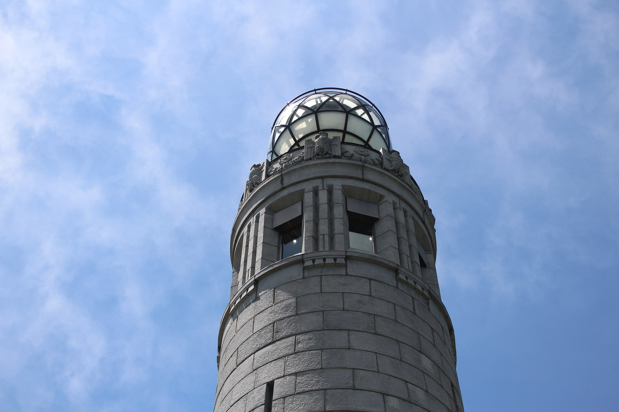
The Cheshire Harbor Trail is the shortest of the recognised foot approaches from the Adams side. From the trailhead at the top of West Mountain Road, the path climbs steadily through second-growth northern hardwood forest, joining the Appalachian Trail near the Peck’s Brook Junction. It continues past the Peck’s Brook shelter spur and rounds the eastern flank of Saddle Ball Mountain before the final push to the open summit clearing. The 28 m Veterans War Memorial Tower stands at the highest point, alongside the historic Bascom Lodge (open May to October) and the DCR summit visitor centre. On a clear day the view runs from the Catskills west, the Green Mountains north, Mount Monadnock east and Mount Everett south. Return by the same route.
Why it is essential
Mount Greylock is the highest point in Massachusetts and the flagship summit of the northern Berkshires. The Veterans War Memorial Tower and Bascom Lodge give it a cultural weight that few other Northeast summits share, and Herman Melville wrote much of Moby-Dick in a farmhouse below it. The Cheshire Harbor approach avoids the summit auto road and the AT’s longer traverses, delivering the summit as a single sustained climb.
Equipment
- Sturdy hiking boots with grip on rooty tread
- Weatherproof shell — summit weather can be 10 °C cooler than the valley
- Warm insulating layer
- 2 L water minimum
- Sun and tick protection
- Map, GPS or downloaded Mass DCR trail map
- Trekking poles useful on the descent
- Microspikes in winter and shoulder season for icy sections above ~750 m
Hazards and notes
- The summit is fully exposed to weather; storms build quickly on hot afternoons
- Bascom Lodge and the summit road are open Memorial Day weekend to around 30 October — verify current 2026 opening dates on the DCR site
- The Cheshire Harbor Trail can be very crowded on autumn weekends
- Tick and rattlesnake awareness in the lower and mid-elevation sections
- Cell coverage is patchy on the summit and absent in the lower forest
- Dogs allowed on leash, but not inside Bascom Lodge
GPX / KML links
| Source | URL | Format | Notes |
|---|---|---|---|
| Mass DCR — Mount Greylock State Reservation | mass.gov | Official page | No official GPX published; trail map PDF available on the page |
| Waymarked Trails — Appalachian Trail relation | hiking.waymarkedtrails.org | OSM route relations | AT segment across Greylock is mapped in OSM; GPX exportable via the relation |
| AllTrails — Cheshire Harbor Trail to Mount Greylock | alltrails.com | Third-party track | Do not redistribute AllTrails GPX without licence confirmation |
Sources
2. Mount Everett via Race Brook Falls
Snapshot
Itinerary
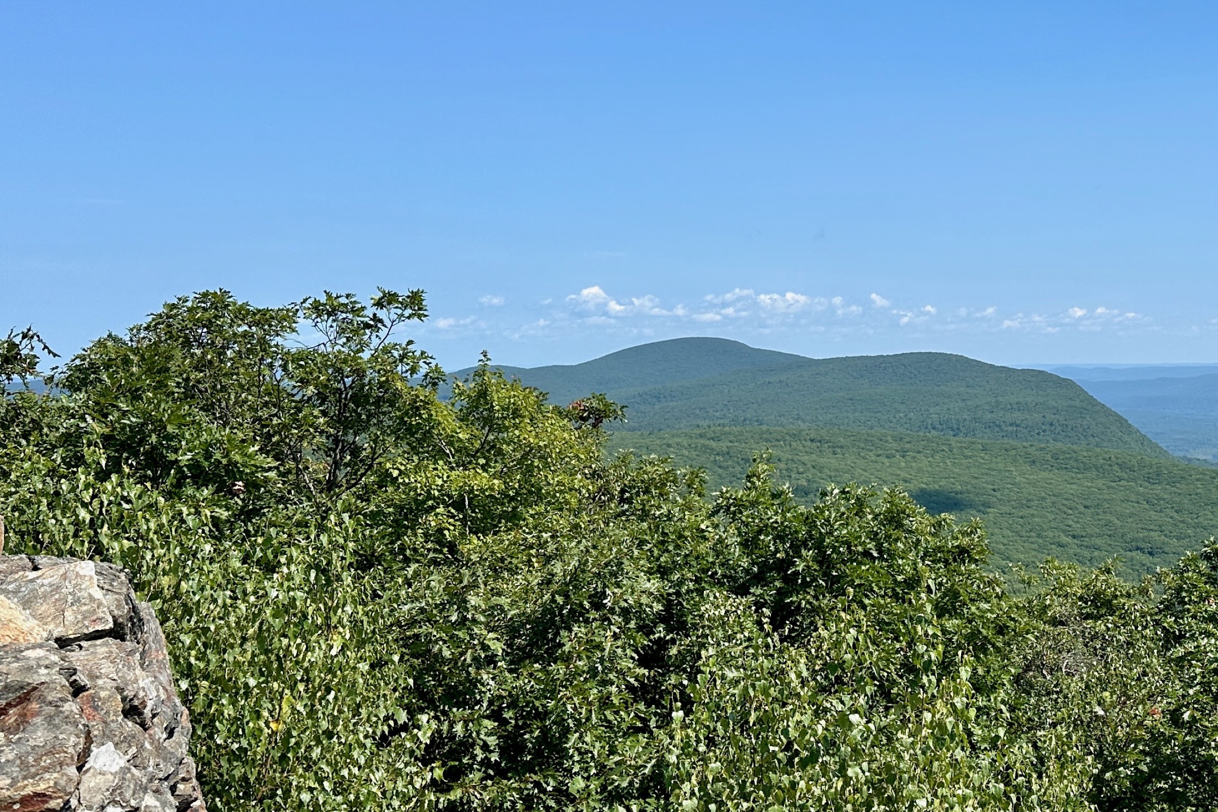
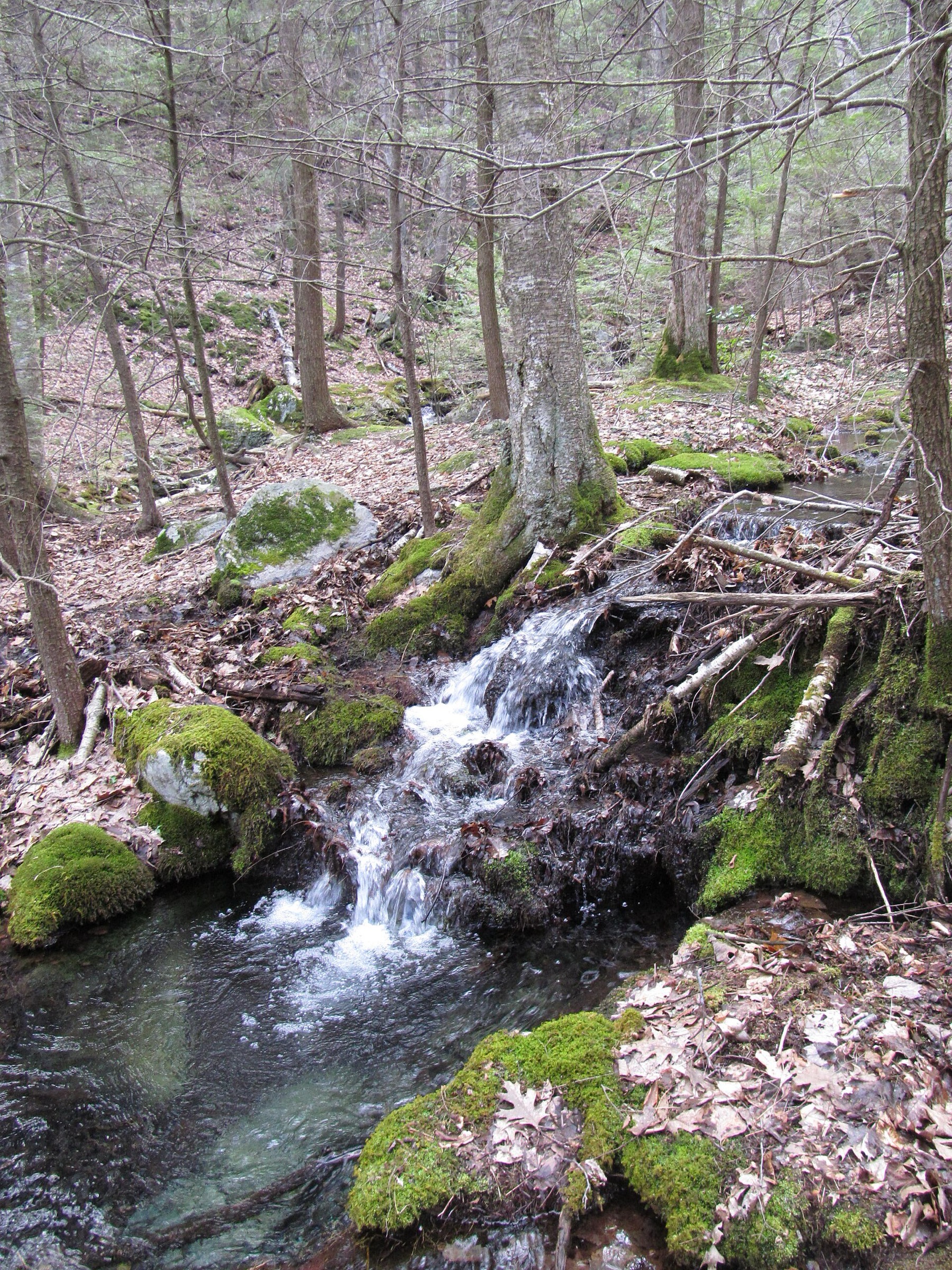
From the Route 41 trailhead the Race Brook Falls Trail climbs west into the reservation, crossing Race Brook and passing a signed spur to the lower falls after roughly 15 minutes. The main trail continues past a series of five cascades — the middle and upper falls are the most photogenic — before easing into a shallower forested pitch and reaching its junction with the Appalachian Trail at the Race Brook Falls campsite. Turn right (north) on the AT; the ridge climbs through a mix of scrub oak and pitch pine — a rare Taconic ridge community — to the summit clearing on Mount Everett, once crowned by a fire tower (removed in 2003). The view runs south to Race Mountain and Bear Mountain, west to the Catskills, and north to Greylock on a clear day. Return by the same route; strong parties sometimes extend by continuing south on the AT over Race Mountain’s cliff-edge tread to Sages Ravine before turning around.
Why it is essential
Mount Everett is the highest point in the southern Berkshires and the emblematic AT summit of the region. The Race Brook Falls approach adds a genuine cascade sequence — five distinct waterfalls in the lower half — to a classic ridge-and-summit climb. The scrub-oak and pitch-pine summit community is unusual in New England and adds ecological interest to the objective.
Equipment
- Sturdy hiking boots
- Weatherproof shell
- Warm layer for the summit
- 2 L water; the ridge has no reliable water
- Sun protection and tick repellent
- Trekking poles for the steep upper pitch and the descent
- Map and GPS backup
Hazards and notes
- Steep, rocky, root-crossed tread above the AT junction
- Race Brook crossings can be difficult after rain — return by the same route if flow rises during the day
- Rattlesnakes are present but rare on the ledges
- Cell coverage is patchy to absent in the reservation
- Bear activity is common in autumn; do not leave food unattended at the summit
GPX / KML links
| Source | URL | Format | Notes |
|---|---|---|---|
| Mass DCR — Mount Everett State Reservation | mass.gov | Official page | No official GPX published |
| Waymarked Trails — Appalachian Trail relation | hiking.waymarkedtrails.org | OSM route relations | AT segment mapped in OSM; GPX exportable via the relation |
| AllTrails — Mount Everett via Race Brook Falls | alltrails.com | Third-party track | Do not redistribute AllTrails GPX without licence confirmation |
Sources
- Mass DCR — Mount Everett State Reservation
- ATC — Massachusetts Appalachian Trail
- AllTrails — Mount Everett via Race Brook Falls
3. Bash Bish Falls
Snapshot
Itinerary
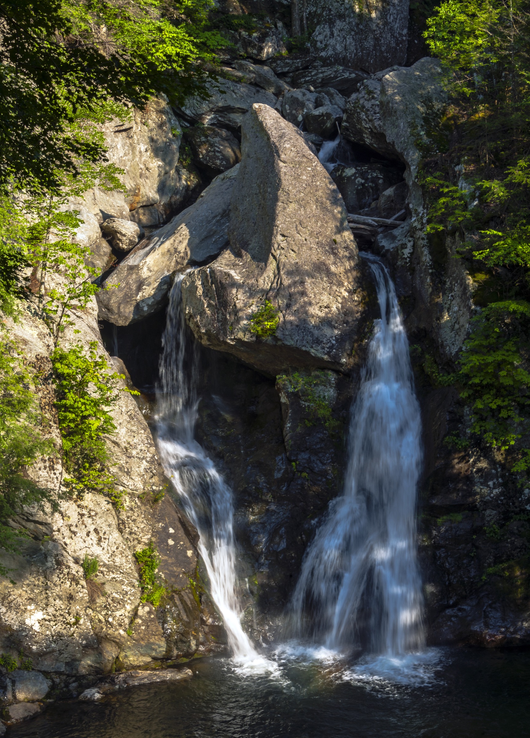
Bash Bish Falls is a twin-plunge waterfall that drops roughly 24 m into a deep pool at the head of a schist gorge, split near the base by a massive triangular boulder. From the Massachusetts upper lot on Falls Road the descent to the viewing platform follows a stepped stone path for about 400 m and drops around 50 m. From the New York lower lot in Taconic State Park the approach follows a wide gravel road along Bash Bish Brook for about 1.2 km one way with almost no gradient. Both approaches meet at the base viewing platform. Swimming and entry into the pool are strictly prohibited — the site has seen more than two dozen fatalities historically and is signposted accordingly.
Why it is essential
Bash Bish Falls is the iconic southern Berkshire / Taconic waterfall — a genuinely scenic set-piece close to the road that has drawn painters, photographers and Sunday walkers for two centuries. The site is jointly managed by Massachusetts DCR and New York State Parks, and its short access makes it a natural pairing with the longer Alander Mountain or Mount Washington State Forest walks.
Equipment
- Standard hiking shoes with grip — the stone steps are slick after rain
- Weatherproof shell
- Sun protection
- Water
- Camera and tripod recommended for the falls
- Head torch for late-season afternoon returns
Hazards and notes
- No swimming, no wading, no climbing on the falls — strictly enforced
- The stone steps are slippery when wet or icy
- The Massachusetts upper lot is small; on peak-season weekends the New York lower lot is often the only workable parking
- Dogs allowed on leash on both sides
- Ticks and biting insects active through summer
GPX / KML links
| Source | URL | Format | Notes |
|---|---|---|---|
| Mass DCR — Bash Bish Falls State Park | mass.gov | Official page | No official GPX published |
| NYS Parks — Taconic State Park (Copake Falls area) | parks.ny.gov | Official page | No official GPX published |
| AllTrails — Bash Bish Falls Trail | alltrails.com | Third-party track | Do not redistribute AllTrails GPX without licence confirmation |
Sources
- Mass DCR — Bash Bish Falls State Park
- NYS Parks — Taconic State Park
- AllTrails — Bash Bish Falls Trail
4. Alander Mountain Trail
Snapshot
Itinerary
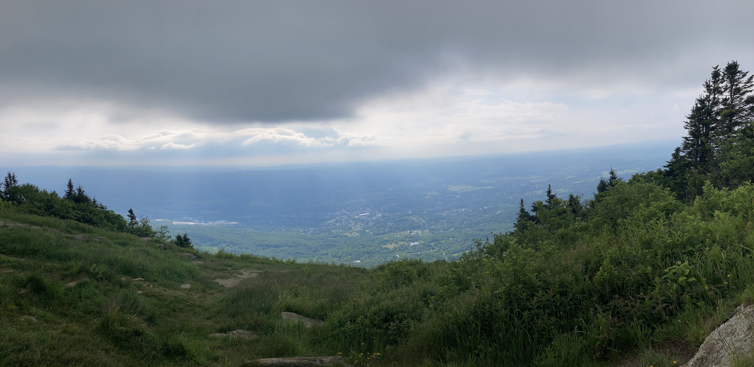
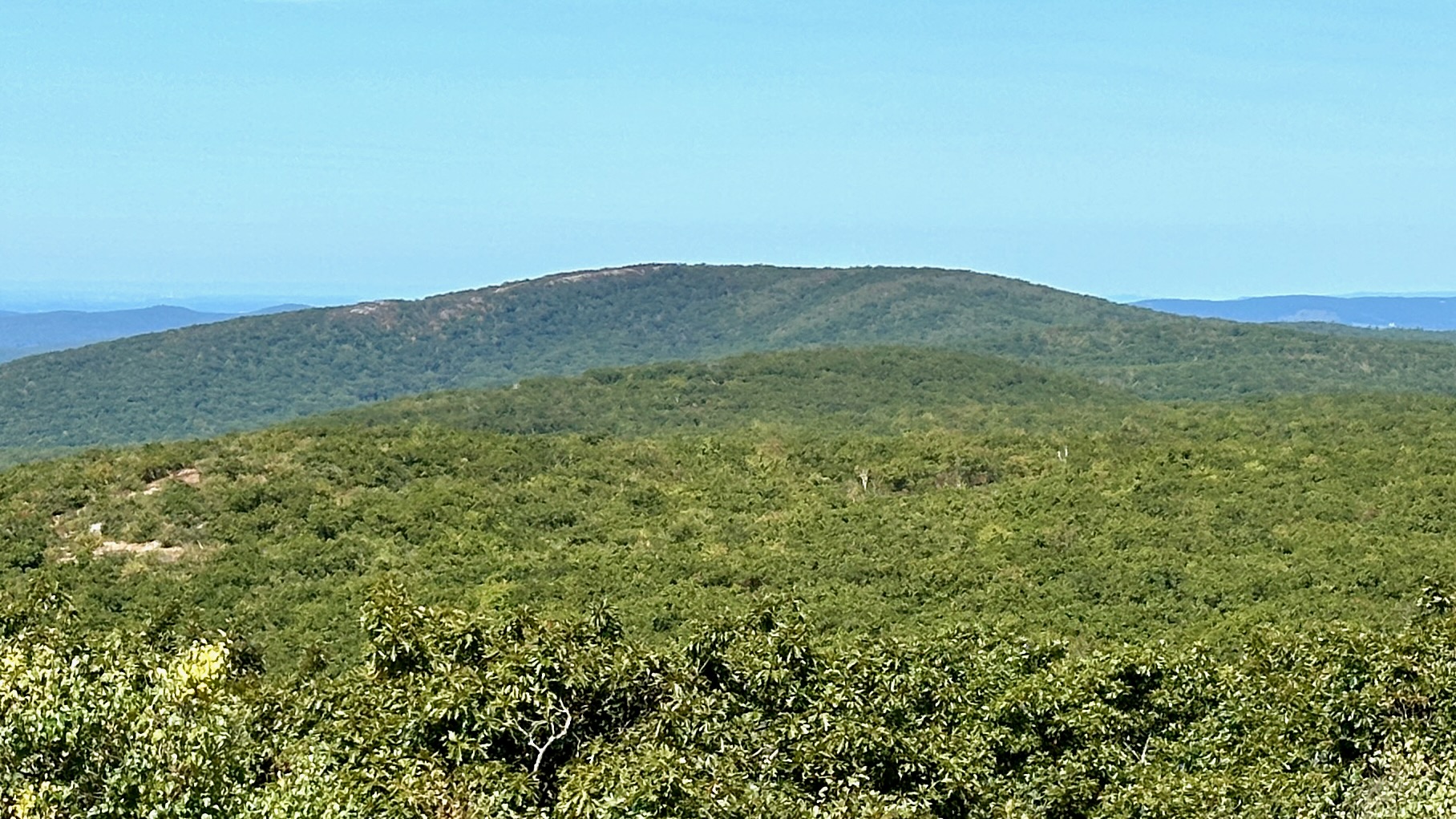
From the Mount Washington State Forest headquarters on East Street the Alander Mountain Trail heads west, drops to a brook crossing, then climbs steadily through mixed hardwood forest — some of the most intact old-growth remnants in southern New England line the mid-section. After roughly 4 km the trail joins the South Taconic Trail on the ridge and turns north-west to the Alander summit clearing. The summit is unusual in the Northeast: an open grassland and low-heath community with 360° views across the Hudson Valley to the Catskills, north up the Taconic ridge, and south to Brace, Round and Bear Mountains. A small cabin (the Alander Mountain Cabin) sits just below the summit on the north-west flank — first-come-first-served, no fee, no reservations. Return by the same route.
Why it is essential
Alander gives the essential South Taconic ridge experience without the heavier commitment of a full through-hike of the South Taconic Trail. The grassland summit is a habitat that is genuinely rare in the Northeast, and the view across the Hudson valley to the Catskills is one of the most open panoramas in the Berkshire and Taconic region.
Equipment
- Sturdy hiking shoes or boots
- Weatherproof shell
- Warm layer for the exposed summit
- 2 L water; the ridge has no reliable water
- Sun protection — the grassland summit is fully open
- Tick repellent and long trousers for the lower forest
- Map and GPS backup
- Poles helpful for the descent
Hazards and notes
- Fully exposed summit; storms build quickly on hot afternoons
- Ticks are the most consistent hazard through the summer
- Rattlesnake sightings on the ridge ledges are occasional but not rare — give them wide berth
- The Alander Mountain Cabin is minimally maintained; day walkers may shelter but should leave it clean
- Cell coverage is absent through the state forest
- Dogs on leash allowed; keep them close on the ridge
GPX / KML links
| Source | URL | Format | Notes |
|---|---|---|---|
| Mass DCR — Mount Washington State Forest | mass.gov | Official page | No official GPX published; trail map PDF available |
| Waymarked Trails — South Taconic Trail | hiking.waymarkedtrails.org | OSM route relations | The South Taconic Trail is mapped in OSM |
| AllTrails — Alander Mountain Trail | alltrails.com | Third-party track | Do not redistribute AllTrails GPX without licence confirmation |
Sources
- Mass DCR — Mount Washington State Forest
- NY–NJ Trail Conference — South Taconic Trail
- AllTrails — Alander Mountain Trail
5. Monument Mountain — Peeskawso Peak
Snapshot
Itinerary
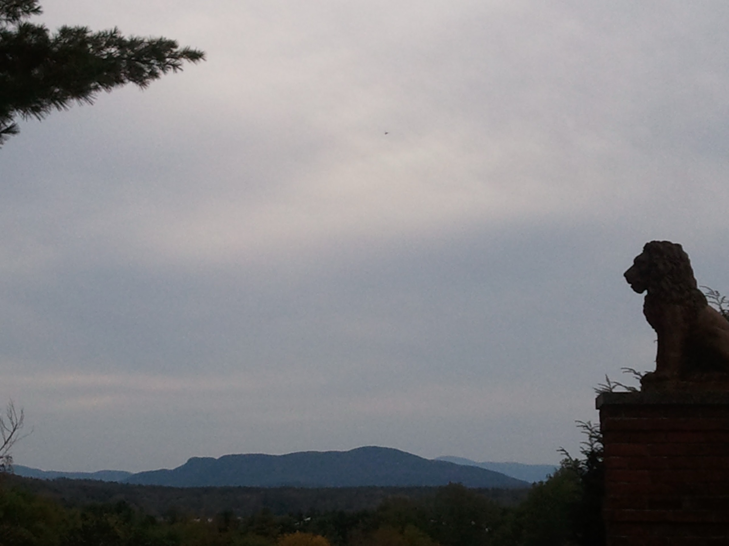
From the Route 7 lot the standard loop begins on the Hickey Trail heading north-east, climbing more directly through hemlock and mixed hardwood past a small brook. Above roughly 400 m the trail steepens onto the quartzite tread that gives Monument Mountain its distinctive white summit face. The path threads a set of low ledges and rejoins the Indian Monument Trail at Squaw Peak, then continues north-west along the ridge to Peeskawso Peak — renamed from Squaw Peak in 2022 to remove a derogatory place-name and honour a Muh-he-con-neok chief. The overlook faces east across the Housatonic valley to Beartown State Forest, with the outline of Mount Everett visible south on clear days. The return descends via the Indian Monument Trail, a gentler graded track along the western flank, back to the parking lot. Total elevation gain is modest but the tread is rockier than the distance suggests.
Why it is essential
Monument Mountain carries an outsized cultural weight for a hill of its size. In August 1850 Nathaniel Hawthorne, Herman Melville and Oliver Wendell Holmes met on its summit during a thunderstorm — Melville dedicated Moby-Dick to Hawthorne within months of the outing. William Cullen Bryant’s 1815 poem Monument Mountain named the peak in nineteenth-century American letters. The Trustees have protected the mountain since 1899, and the loop remains the shortest, most accessible essential viewpoint in the Berkshires.
Equipment
- Standard hiking shoes with grip
- Weatherproof shell
- Warm layer for cooler days
- 1–1.5 L water
- Sun protection and tick repellent
- Camera for the summit ledges
Hazards and notes
- Unfenced cliff edges at Peeskawso Peak — supervise children and dogs
- Slippery on the summit quartzite when wet
- Ticks are active April–October
- No swimming or picnicking in the summit meadow
- Trustees parking fee ($8 for non-members as of 2025) — verify current 2026 rate on the Trustees site
- Reservation open daily sunrise to sunset
GPX / KML links
| Source | URL | Format | Notes |
|---|---|---|---|
| Trustees of Reservations — Monument Mountain | thetrustees.org | Official page | Trail map PDF available; no direct GPX download |
| AllTrails — Monument Mountain via Hickey and Indian Monument | alltrails.com | Third-party track | Do not redistribute AllTrails GPX without licence confirmation |
Sources
Missing data / follow-up work
- Bear Mountain (Salisbury, CT) — the Connecticut state high point and a strong sixth candidate; consider adding as a future article revision.
- Alander summit photo — the only licence-compatible summit view on Wikimedia Commons is ~1,816 px on the long edge, below the site’s 2,000 px source floor. Retained here in the absence of a better licence-compatible option; upgrade if a higher-resolution CC-BY(-SA) image becomes available.
- No official GPX/KML — Mass DCR, Trustees of Reservations and NYS Parks do not publish per-trail GPX for these routes; the article points to Waymarked Trails (OSM) for the AT and South Taconic sections and to AllTrails for cross-check only.
- Mount Greylock summit auto road 2026 closing date — the provisional 30 October date should be re-confirmed against Mass DCR closer to the season.
- Monument Mountain Trustees parking fee — 2026 rate should be re-confirmed against the Trustees site.
Further reading
| Source | URL |
|---|---|
| Mass DCR — Mount Greylock State Reservation | mass.gov |
| Mass DCR — Mount Everett State Reservation | mass.gov |
| Mass DCR — Bash Bish Falls State Park | mass.gov |
| Mass DCR — Mount Washington State Forest | mass.gov |
| NYS Parks — Taconic State Park | parks.ny.gov |
| Trustees of Reservations — Monument Mountain | thetrustees.org |
| Appalachian Trail Conservancy | appalachiantrail.org |
| NY–NJ Trail Conference — South Taconic Trail | nynjtc.org |
| Berkshire Natural Resources Council | bnrc.org |
| Bascom Lodge (Mount Greylock summit) | bascomlodge.net |