Regional overview
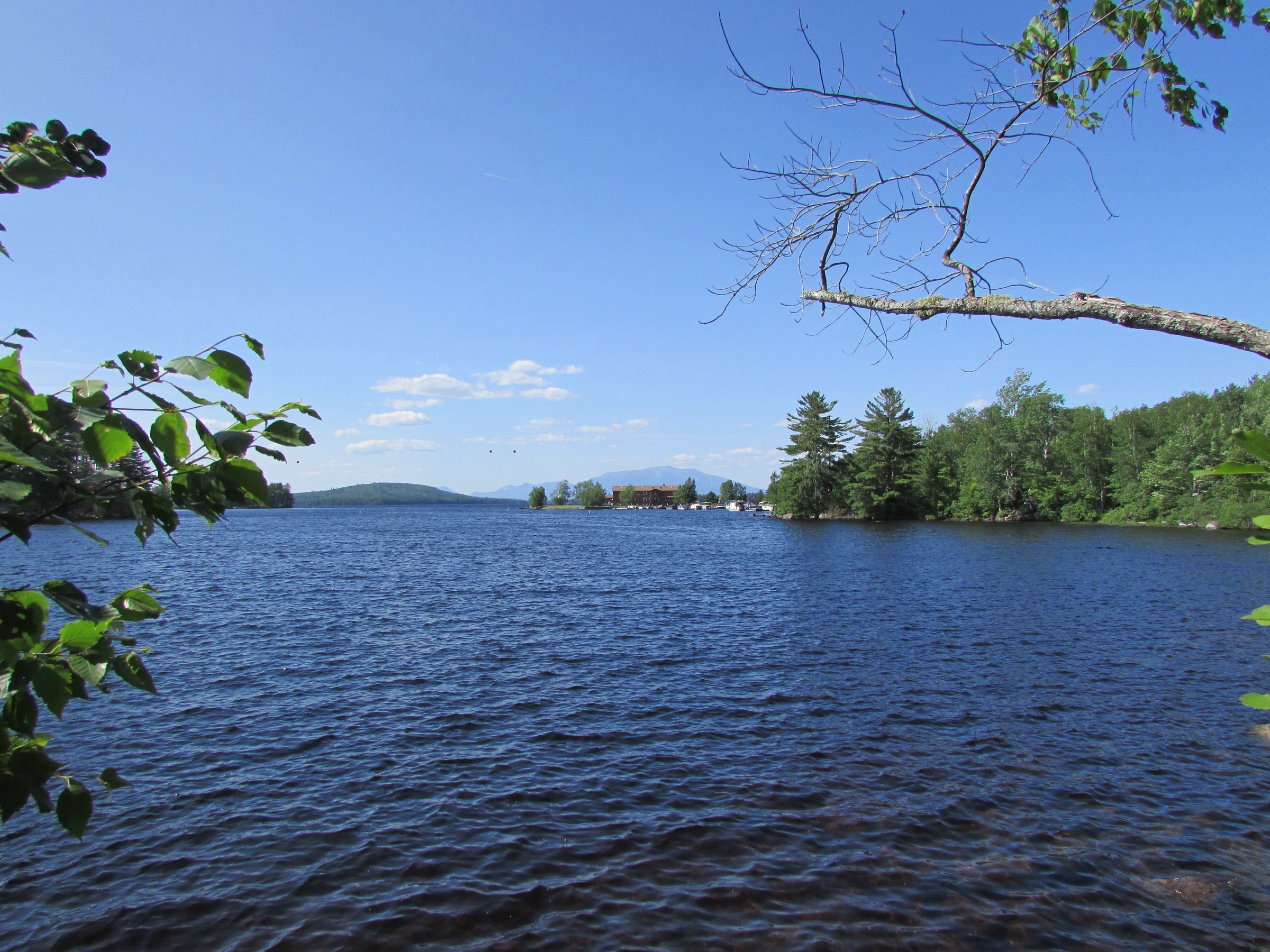
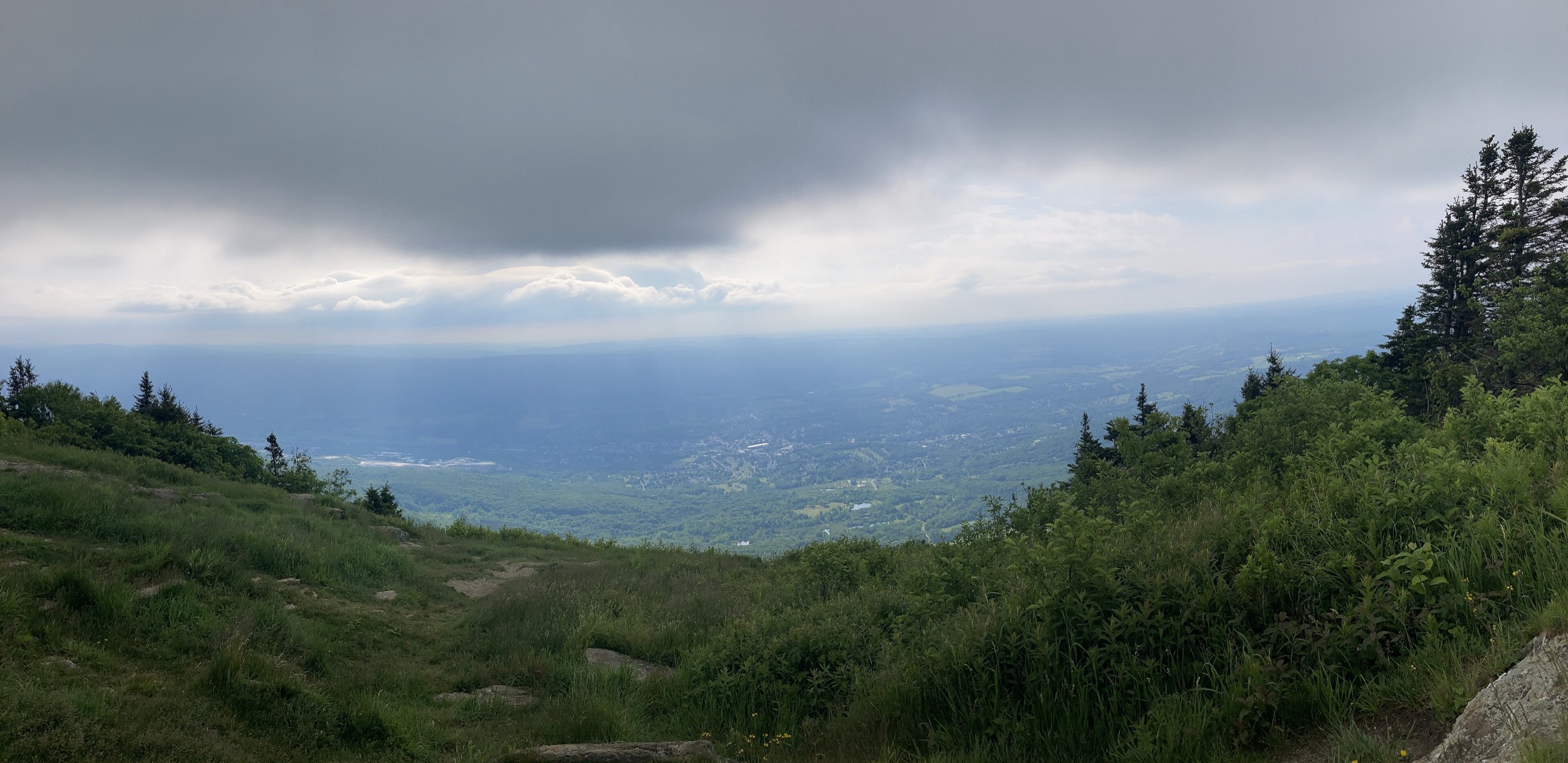
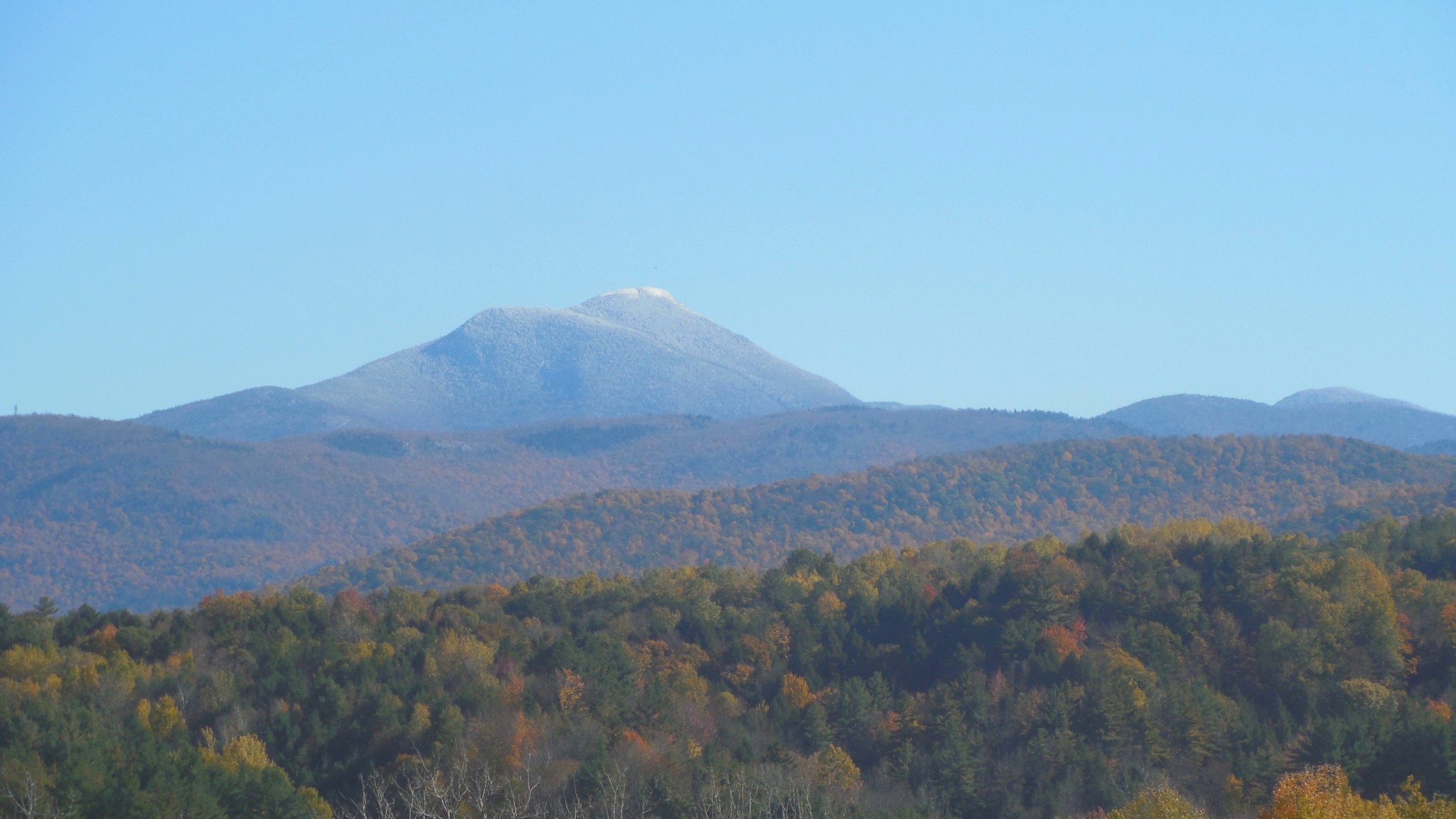
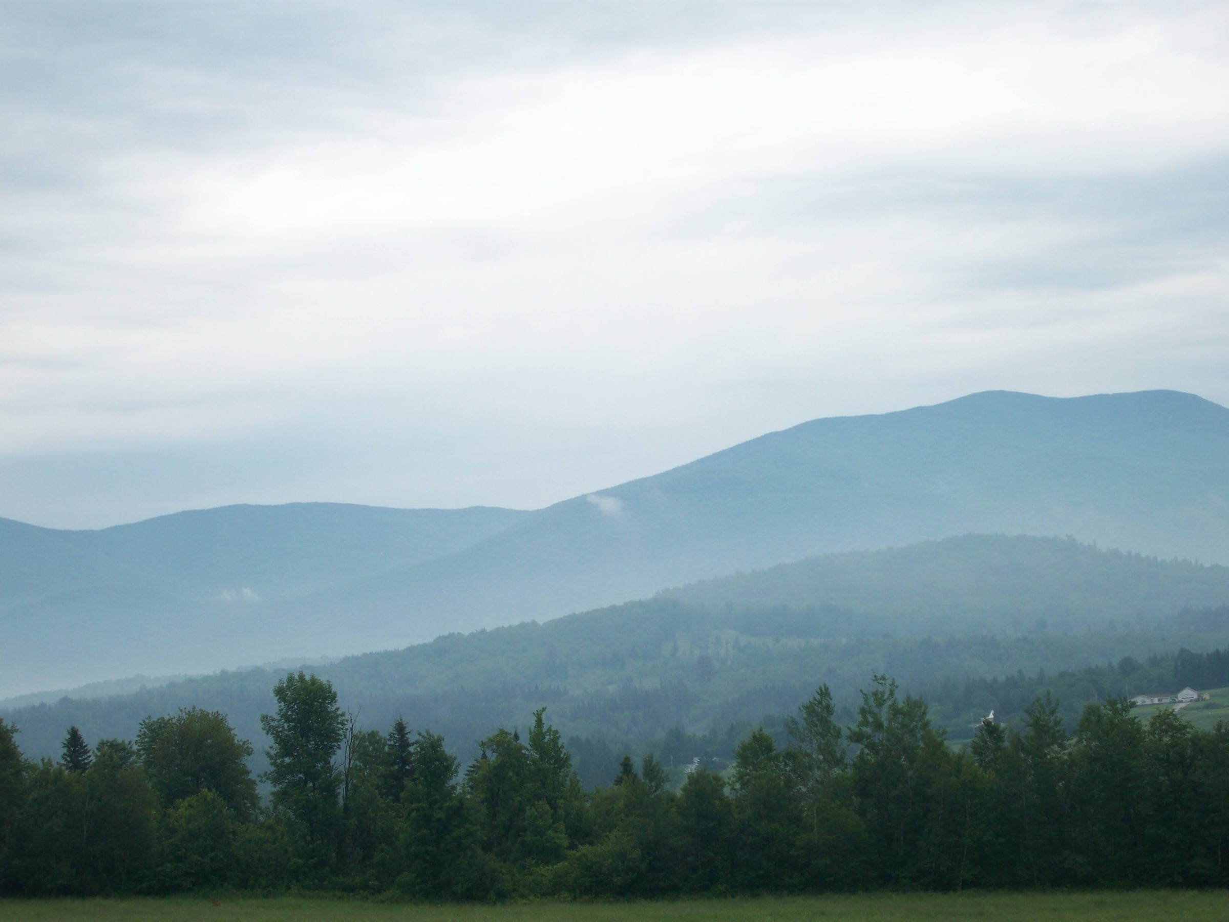
The White Mountains of northern New Hampshire are the highest and most weather-committed range in the north-eastern United States — a 1,225-square-mile mosaic of glaciated summits, deeply cut notches and above-treeline alpine tundra, most of it inside the White Mountain National Forest (WMNF) administered by the US Forest Service. The high point is Mount Washington at 1,917 m (6,288 ft); twenty-two other summits reach the 1,220 m (4,000 ft) mark, and eight of them cluster in the Presidential Range across Mount Washington, Adams, Jefferson, Madison and their neighbours. The range is bracketed by two major notches — Franconia Notch to the west and Crawford, Pinkham and Kancamagus to the east and south — each carrying a state highway that provides most of the region’s trailhead access.
The primary hiking centres are North Conway and Jackson to the east (base for Chocorua and Pinkham Notch), Lincoln and Woodstock to the west (base for Franconia Notch and the Kancamagus Highway), Gorham and Randolph to the north (base for the Northern Presidentials), and Bretton Woods on the west side of Mount Washington. The Appalachian Mountain Club (AMC), headquartered at the Highland Center in Crawford Notch and at Pinkham Notch Visitor Center, is the region’s principal trail organisation and operator of the eight-hut chain that runs from Lonesome Lake to Carter Notch. Full-service hut season typically runs early June to mid-September, with self-service shoulder operation at select huts into October; reservations are required well in advance and the busiest huts sell out months ahead.
The practical dry-hike season on the higher summits is mid-June through mid-October. The Presidential Range and the Franconia Ridge are effectively in a winter mountaineering regime from November through May, with rime, verglas and gale winds routine on any exposed above-treeline crossing. Mount Washington holds the former world record for surface wind speed (231 mph, 12 April 1934) and continues to record hurricane-force gusts on roughly 100 days a year; hypothermia is the leading cause of hiker fatality in the range. hikeSafe (nhfishandgame.com/hikesafe) is the shared code of practice from NH Fish & Game and USFS — the voluntary hikeSafe card exempts holders from rescue-cost recovery in the event of negligence, and its purchase supports rescue operations across the region.
Access rules are straightforward but strict about parking. A WMNF recreation pass is required at most trailheads (Piper, Falling Waters / Lafayette Place, Welch-Dickey, Ammonoosuc Ravine, Appalachia) — the daily fee is US$5, or an America the Beautiful Interagency Pass covers it. Franconia Notch State Park operates the Lafayette Place lots as a separate authority; both northbound and southbound lots fill before 07:00 on peak summer and autumn weekends. There is no reservation system for parking at any WMNF or state park trailhead; overflow parking on I-93 shoulders is prohibited. AMC operates a seasonal hiker shuttle (June–October) linking major trailheads on Route 302 and Route 16, useful for one-way traverses. Dogs are permitted on WMNF and NH State Park trails but must be under control; the AMC huts are pet-free except for service animals.
Hazards on the higher routes are commensurate with a genuine alpine environment. Weather can turn on any summit in any month; thunderstorms funnel through Franconia and Crawford Notches with almost no warning at valley level. Alpine plant communities on Washington, the Northern Presidentials, Franconia Ridge and Bondcliff are fragile — hikers must stay on rock and cairned tread above treeline. Cell coverage is essentially absent above the notches. The AMC Highland Center, Pinkham Notch Visitor Center and Marshfield Base Station carry the current weather forecast from the Mount Washington Observatory and are the recommended pre-hike stops.
Selection rationale
The five walks below span the four defining experiences of the White Mountains. Mount Washington via the Ammonoosuc Ravine / Jewell loop is the classic western-approach day on the highest summit in the north-east, passing AMC’s Lakes of the Clouds Hut and giving shorter above-treeline exposure than the Tuckerman Ravine route. Franconia Ridge (Falling Waters + Old Bridle Path over Little Haystack, Lincoln and Lafayette) is the region’s most sustained above-treeline ridge traverse and its most-walked classic. Mount Chocorua via the Piper Trail is the archetypal Sandwich Range summit — the bare granite pyramid above Chocorua Lake that anchors the region’s most photographed composition. Mount Madison via Valley Way from Appalachia is the standard Northern Presidentials day, sheltered in forest almost all the way to AMC’s Madison Spring Hut before the exposed final scramble. The Welch-Dickey Loop is the introduction to White Mountains ledge hiking at a modest fraction of the Presidentials commitment — bare granite slabs and open ridge for most of its length, with almost no forest walking. Together they cover the range’s iconic summit (Washington), its iconic ridge (Franconia), its iconic profile (Chocorua), its most weather-committed approach (Madison), and its accessibility introduction (Welch-Dickey).
Summary table
| # | Hike | Country | Route type | Distance | Gain | Max elevation | Difficulty |
|---|---|---|---|---|---|---|---|
| 1 | Mount Washington — Ammonoosuc + Jewell loop | USA | Loop | ~14.3–15.6 km (~8.9–9.7 mi) | ~1,150–1,230 m | 1,917 m | Very strenuous |
| 2 | Franconia Ridge Loop (Lincoln, Lafayette) | USA | Loop | ~14.3 km (~8.9 mi) | ~1,190 m | 1,600 m | Very strenuous |
| 3 | Mount Chocorua via Piper Trail | USA | Out-and-back | ~13.8 km (~8.6 mi) | ~825 m | 1,060 m | Strenuous |
| 4 | Mount Madison via Valley Way | USA | Out-and-back | ~12.5 km (~7.8 mi) | ~1,235 m | 1,636 m | Very strenuous |
| 5 | Welch-Dickey Loop | USA | Loop | ~7.1 km (~4.4 mi) | ~530 m | 875 m | Moderate |
1. Mount Washington — Ammonoosuc Ravine and Jewell Trail loop
Snapshot
Itinerary
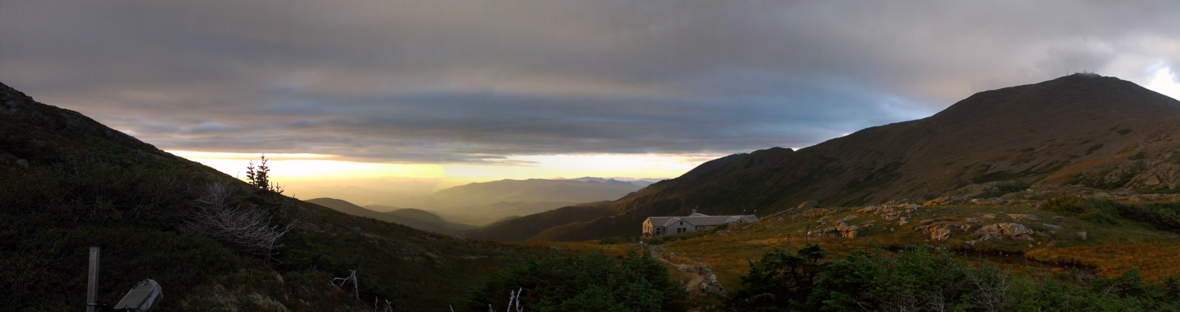
From the Ammonoosuc Ravine trailhead beside the Cog Railway Base Station, the trail (blue blazes) follows the Ammonoosuc River east through spruce-fir forest for about 3.7 km to Gem Pool, a small basin at the foot of the ravine’s headwall. Above Gem Pool the trail climbs a punishing 2.4 km of stone stairs and rock slabs — one of the steepest sustained ascents on the maintained White Mountain trail system — to reach AMC’s Lakes of the Clouds Hut at 1,528 m (5,012 ft), tucked between the two small alpine tarns that give the hut its name. From the hut, the Crawford Path (the oldest continuously maintained mountain trail in North America, cleared in 1819) traverses open alpine tundra north-east to the summit cone, joins the Gulfside / Trinity Heights spur, and tops out at the summit stone, where the Mount Washington Observatory and Sherman Adams State Park building stand. Descend north-west on the Gulfside Trail to its junction with the Jewell Trail, which drops west and south-west through krummholz and then spruce-fir forest to return to the base station lots. The loop can be reversed and the Jewell Trail used as a more gradual ascent in poor weather; Lakes of the Clouds Hut is the standard bail-out point if visibility drops on the summit push.
Why it is essential
Mount Washington is the highest peak in the north-eastern United States and the archetype of an above-treeline weather-committed summit in the East. The Ammonoosuc Ravine / Jewell loop puts a party on the summit via the shortest sensible above-treeline crossing — from Lakes of the Clouds Hut to the top and back down — while giving both a striking gorge climb up and a sheltered forest descent. The Crawford Path summit approach is also historically significant: it was cut by Ethan Allen Crawford in 1819, making it the oldest maintained hiking trail on the continent.
Equipment
- Sturdy boots with grip on wet granite
- Weatherproof shell — summit conditions are frequently full alpine
- Warm insulating layer, hat and gloves in any month
- Extra warm layer for the summit
- 3 L water — treat any stream water below Gem Pool
- Sun protection — the alpine plateau is fully exposed
- Trekking poles for the descent
- Map, compass and downloaded WMNF map
- Headtorch — 10-hour days are common
- Microspikes into June and again from mid-October
- Full winter kit and crampons for any November–May attempt
Hazards and notes
- Alpine exposure above ~1,375 m; storms and hurricane-force gusts can occur in any month
- Verglas, rime and snow are possible above treeline year-round
- Bail out to Lakes of the Clouds Hut if the summit push cannot be completed safely
- Stay on rock or cairned tread above treeline — the alpine tundra takes decades to recover from trampling
- WMNF recreation pass required at the Ammonoosuc trailhead (US$5/day or Interagency Pass)
- Cell coverage patchy at the base station and absent on the trail; the summit has patchy service
- Check the Mount Washington Observatory forecast (mountwashington.org) before departure
GPX / KML links
| Source | URL | Format | Notes |
|---|---|---|---|
| USFS WMNF — Ammonoosuc Ravine Trailhead | fs.usda.gov | Official trailhead page | Access and parking |
| Mount Washington Observatory | mountwashington.org | Official page | Summit weather, live conditions |
| AMC — Lakes of the Clouds Hut | outdoors.org | Official page | Hut reservations and status |
Sources
2. Franconia Ridge Loop (Little Haystack, Lincoln, Lafayette)
Snapshot
Itinerary
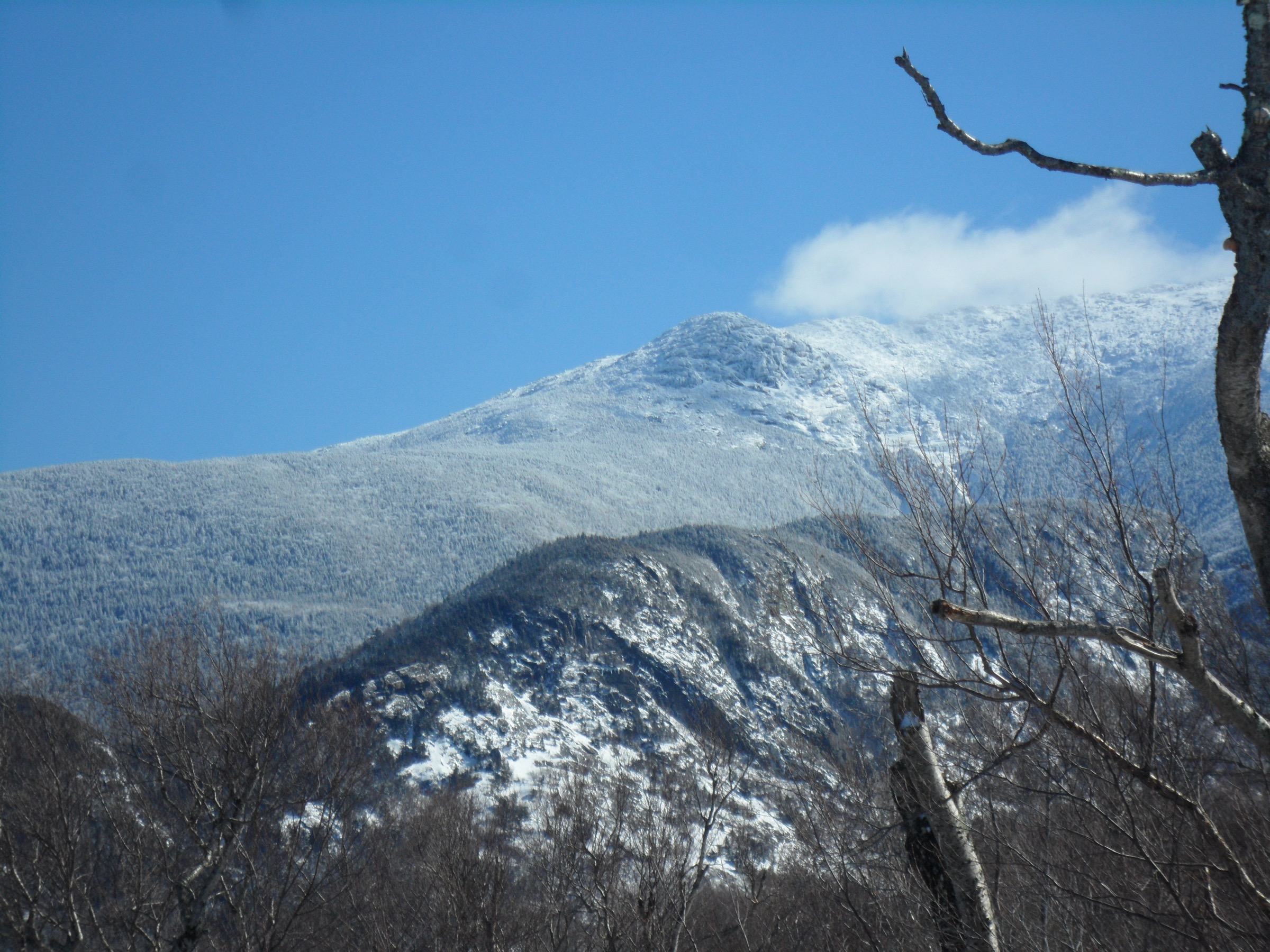
From the Lafayette Place trailhead, cross Franconia Notch Parkway on the pedestrian underpass and pick up the Falling Waters Trail heading east. The trail climbs steadily along Dry Brook past Stairs, Swiftwater and Cloudland cascades — three named waterfalls in the first 2.4 km — then steepens through spruce-fir to reach Little Haystack Mountain at 1,451 m (4,760 ft), a narrow open ledge summit where the ridge crossing begins. The Franconia Ridge Trail (part of the Appalachian Trail) then runs north along a narrow cairned crest for about 2.6 km, first over Mount Lincoln at 1,551 m (5,089 ft) and then up to Mount Lafayette at 1,600 m (5,249 ft) — one of the finest sustained above-treeline traverses in the north-eastern United States, with steep drops on both flanks and unobstructed views west to the Kinsman Range and east into the Pemigewasset Wilderness. From Lafayette’s summit, drop west on the Greenleaf Trail to AMC’s Greenleaf Hut at 1,280 m (4,200 ft), then continue west on the Old Bridle Path, which descends steadily through hardwood forest along the north side of Walker Ravine back to Lafayette Place. Counter-clockwise is the recommended direction — the Falling Waters ascent is steeper but shorter, and the Old Bridle Path descent is easier on the knees.
Why it is essential
Franconia Ridge is the White Mountains’ most photographed skyline and the region’s most-walked classic. The 2.6 km cairned crossing from Little Haystack to Lafayette holds the longest continuous above-treeline traverse in the range outside the Presidentials; combined with the waterfall approach and the hut descent, it delivers everything a New Hampshire day-hike can offer in one loop. It is also the standard first big alpine walk for hikers pursuing the New Hampshire 4,000-footer list.
Equipment
- Sturdy hiking boots with grip on wet slab
- Weatherproof shell — the ridge is fully exposed
- Warm insulating layer, hat and gloves for the summit even in July
- 3 L water — no reliable source above the falls
- Sun protection for the ridge
- Trekking poles for the descent
- Map, compass and downloaded WMNF map
- Headtorch for a late finish
- Microspikes into early June and again from mid-October
Hazards and notes
- Above-treeline exposure for ~2.6 km; storms build quickly on hot afternoons and lightning risk on the ridge is real — turn back at Little Haystack if lightning threatens
- Alpine plant communities on the ridge — stay on rock and marked cairns
- Falling Waters cascades are attractive but slippery — do not approach the lip
- Franconia Notch State Park lots (both NB and SB) fill before 07:00 on peak weekends
- WMNF recreation pass and NH State Park rules apply
- Cell coverage patchy on the ridge, absent below treeline
GPX / KML links
| Source | URL | Format | Notes |
|---|---|---|---|
| NH State Parks — Franconia Notch | nhstateparks.org | Official page | Access, parking, closures |
| AMC — Greenleaf Hut | outdoors.org | Official hut page | Reservations and season |
| Hike New England — Franconia Ridge Loop | hikenewengland.com | Independent route description | Waypoints and elevation profile |
Sources
3. Mount Chocorua via the Piper Trail
Snapshot
Itinerary
The Piper Trail leaves NY Route 16 in Albany and climbs gently through mixed hardwood forest along the Chocorua River for the first ~3 km, then steepens as it approaches Camp Penacook Shelter at about 4.5 km — a first-come, first-served WMNF shelter used mostly by overnight walkers on the longer Chocorua loops. Beyond the shelter the trail steepens further and breaks onto a series of open granite ledges with growing views south to Chocorua Lake and east toward the Ossipee Mountains. The final 0.8 km is the signature climb: bare granite slabs with light scrambling and cairned tread leading to the pointed summit block. From the top the view runs west along the Sandwich Range to Passaconaway and Whiteface, north-west to the Presidentials, and south over Chocorua Lake to the Ossipees; on clear days the Atlantic Ocean is visible east near the Maine coast. Return by the same route. Because the summit is bare granite and completely exposed, this is one of the White Mountains’ most lightning-vulnerable objectives — descend below the treeline if storms threaten.
Why it is essential
Mount Chocorua’s granite pyramid rising above Chocorua Lake is the most photographed mountain composition in the White Mountains and the anchor image of the Sandwich Range. The Piper Trail is the longest-standing approach, cut in the late nineteenth century, and passes through some of the range’s finest lower hardwood forest before delivering an alpine-feeling summit that stands nowhere near the 4,000-foot mark. It is a common answer to “which one big walk should a party do in the White Mountains that isn’t in the Presidentials or Franconia?”
Equipment
- Sturdy hiking boots with strong grip for slab
- Weatherproof shell
- Warm layer for the summit
- 2.5 L water
- Sun protection — the upper slabs are fully exposed
- Trekking poles helpful on the descent
- Map, compass and downloaded WMNF map
- Microspikes for late spring and shoulder-season ice on the slabs
Hazards and notes
- Wet or icy granite slab is the dominant hazard — descend particularly carefully after rain
- Thunderstorm risk on the exposed summit is real on hot summer afternoons
- WMNF recreation pass required at the Piper trailhead (US$5/day or Interagency Pass)
- Summit is small and busy on peak weekends; expect to share the top
- Cell coverage patchy at the summit, absent on the trail
- Chocorua Lake area is on private conservation land — respect posted rules and stay on marked trails
GPX / KML links
| Source | URL | Format | Notes |
|---|---|---|---|
| USFS WMNF — Piper Trailhead | fs.usda.gov | Official trailhead page | Access and parking |
| Chocorua Lake Conservancy — Piper Trail | chocorualake.org | Landowner page | Route context and conservation info |
| Hike New England — Chocorua / Piper Trail | hikenewengland.com | Independent route description | Waypoints and elevation notes |
Sources
4. Mount Madison via the Valley Way
Snapshot
Itinerary
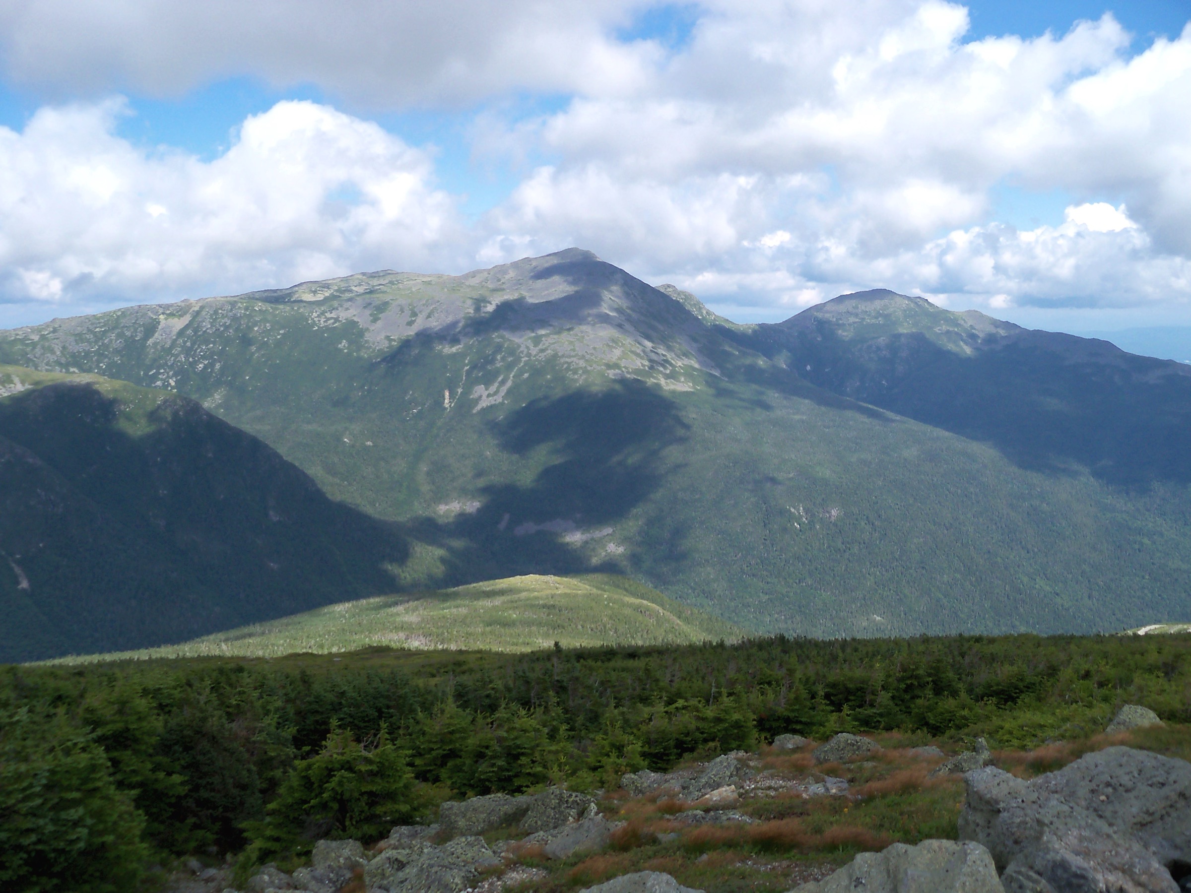
From the Appalachia parking area on US Route 2 in Randolph, the Valley Way trail (blue blazes) climbs steadily beside Snyder Brook, passing Salroc, Tama and Salmacis Falls on side trails, and stays sheltered in mixed hardwood then spruce-fir forest almost the entire way to AMC’s Madison Spring Hut at 1,470 m (4,825 ft) — the AMC hut most exposed to the ridge but reached by the most forest-protected approach in the Northern Presidentials. From the hut the Osgood Trail climbs a boulder-strewn ridge for the last ~0.8 km to the summit of Mount Madison at 1,636 m (5,367 ft), with sweeping views south across the Great Gulf to Adams and Washington, north-east into the Wild River Wilderness, and west along the Randolph valley. Return by the same route; parties with two vehicles can extend the day by continuing over Adams via Airline / Gulfside and descending Lowe’s Path or the Airline itself, but the direct return via Valley Way is the standard day. Valley Way is the recommended bail-out from Madison Spring Hut in poor weather — the sheltered descent contrasts with the exposed Airline and Osgood alternatives.
Why it is essential
Mount Madison closes the northern end of the Presidential Range and is the standard “big Presidentials day-hike” alternative to Washington — the same alpine environment, similar exposure, roughly the same effort, and a far quieter summit. Valley Way is the pre-eminent Northern Presidentials access because it stays in forest almost all the way to the ridge; parties climbing here in marginal weather have a safe descent option that most other Presidential routes do not.
Equipment
- Sturdy boots with grip on wet granite
- Weatherproof shell — the summit cone is fully exposed
- Warm insulating layer, hat and gloves for the ridge in any month
- Extra warm layer for the summit
- 3 L water — treat any stream water on Snyder Brook
- Sun protection for the summit cone
- Trekking poles for the descent
- Map, compass and downloaded WMNF map
- Headtorch — 9-hour days are common
- Microspikes into late June and again from mid-October
- Full winter kit for any November–May attempt
Hazards and notes
- Above-treeline exposure on the last ~0.8 km; storms and gale winds are routine
- Rime, verglas and fresh snow possible any month above treeline
- Bail out via Valley Way to Madison Spring Hut in poor weather rather than crossing exposed Airline or Osgood
- Stay on rock or cairned tread above treeline — alpine tundra is fragile
- Appalachia trailhead is on WMNF land and requires a recreation pass
- Cell coverage patchy on the summit, absent on the trail
- Check the Mount Washington Observatory forecast before departure — Madison and Washington share summit weather
GPX / KML links
| Source | URL | Format | Notes |
|---|---|---|---|
| AMC — Madison Spring Hut | outdoors.org | Official hut page | Reservations, season, weather |
| USFS WMNF — Appalachia Trailhead | fs.usda.gov | Official parking info | WMNF pass required |
| Hike New England — Adams / Madison | hikenewengland.com | Independent route description | Waypoints and profile |
Sources
5. Welch-Dickey Loop
Snapshot
Itinerary
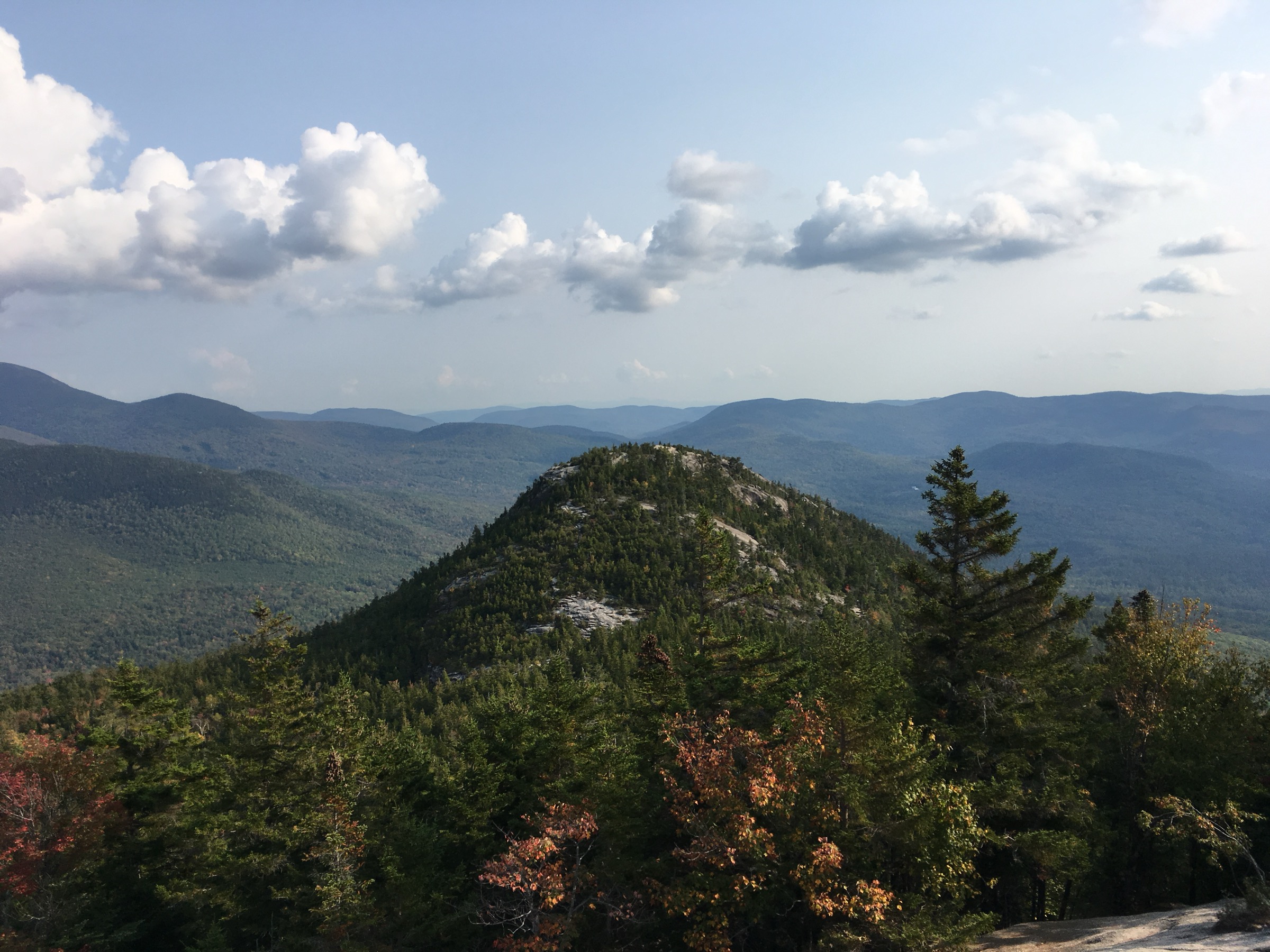
From the Welch-Dickey trailhead on Orris Road, the loop begins with a signed junction 100 m from the register: take the left branch for the counter-clockwise circuit up Welch Mountain first. The trail climbs steadily through mixed hardwood forest to the first open granite ledges at about 1.4 km, where the character changes abruptly — the middle third of the loop is almost entirely on bare, glaciated slab. Continue past the lower Welch ledges up to the summit of Welch Mountain at 855 m (2,805 ft), then drop into the small col between the peaks and re-climb about 60 m of exposed rock to the higher summit of Dickey Mountain at 875 m (2,872 ft), the loop’s high point. The descent from Dickey follows more open slab down the north-east ridge with continuous views south to the Sandwich Range and east into Waterville Valley, then re-enters the hardwood forest and returns to the trailhead. Counter-clockwise is the recommended direction because the Welch ledges are steeper on the ascent side and easier on the descent from Dickey.
Why it is essential
The Welch-Dickey Loop is the White Mountains’ introduction to open-ledge hiking — the granite slab and low-altitude ridge experience that visitors would otherwise have to earn on the Presidentials or Franconia. Its short length and modest elevation gain make it the region’s most-recommended “first big-view walk,” and it is one of very few White Mountain hikes where the walker spends more time above treeline than below.
Equipment
- Standard hiking shoes or boots with grip on slab
- Weatherproof shell
- Warm layer for the exposed ridge
- 2 L water
- Sun protection — most of the loop is fully exposed
- Trekking poles helpful for the descent
- Map, compass and downloaded WMNF map
- Microspikes November through April for shaded shoulder-season ice on the slabs
Hazards and notes
- Wet or icy slab is the loop’s dominant hazard — do not attempt in wet conditions with inadequate footwear
- Thunderstorm risk on the exposed ridge is real on hot summer afternoons
- WMNF recreation pass required at the trailhead (US$5/day or Interagency Pass)
- Fragile lichen and cushion-plant communities on the middle-elevation slabs — stay on rock
- Cell coverage patchy on the ridge, absent below treeline
- Trailhead lot fills before 08:00 on peak weekends; the road-shoulder overflow is limited
GPX / KML links
| Source | URL | Format | Notes |
|---|---|---|---|
| Waterville Valley Resort Association — Welch-Dickey Loop | visitwatervillevalley.com | Regional tourism page | Route summary and current status |
| Visit White Mountains — Welch-Dickey | visitwhitemountains.com | Regional tourism page | Access notes |
| Hike New England — Welch-Dickey Loop | hikenewengland.com | Independent route description | Waypoints and profile |
Sources
- Waterville Valley — Welch-Dickey Loop
- Visit White Mountains — Welch-Dickey
- Hike New England — Welch-Dickey
Missing data / follow-up work
- AMC hut season 2026 — full-service dates for the eight-hut chain should be verified on outdoors.org before travel; huts book out months in advance for peak summer weekends.
- AMC hiker shuttle 2026 schedule — the seasonal Route 302 / Route 16 shuttle serving Appalachia, Highland Center, Pinkham Notch and other major trailheads has variable dates each year; verify with AMC before planning one-way traverses.
- WMNF recreation pass 2026 rate — the daily fee has been US$5 in recent years; verify current rate on the USFS WMNF site before travel.
- Franconia Notch State Park parking — no reservation system as of the 2025 season; both Lafayette Place lots fill before 07:00 on peak weekends. Any 2026 changes should be checked with NH State Parks.
- Mount Washington Cog Railway and Auto Road schedules — the summit road and rail approaches operate seasonally with variable start / end dates; verify at mountwashington.com and mtwashingtonautoroad.com.
- Presidential Traverse extensions — parties combining Madison with Adams or extending to Washington in a single day should carry a printed elevation profile; the AMC White Mountain Guide is the definitive reference for connective segments not covered here.
Further reading
| Source | URL |
|---|---|
| USFS — White Mountain National Forest | fs.usda.gov |
| Appalachian Mountain Club (AMC) | outdoors.org |
| AMC — High Mountain Huts | outdoors.org |
| NH State Parks — Franconia Notch | nhstateparks.org |
| NH Fish and Game — hikeSafe | nhfishandgame.com |
| Mount Washington Observatory | mountwashington.org |
| Mount Washington Auto Road | mtwashingtonautoroad.com |
| Mount Washington Cog Railway | thecog.com |
| Chocorua Lake Conservancy | chocorualake.org |
| Waterville Valley Resort Association | visitwatervillevalley.com |
| Hike New England | hikenewengland.com |
| 4000footers.com — New Hampshire 4,000-Footers | 4000footers.com |