Regional overview
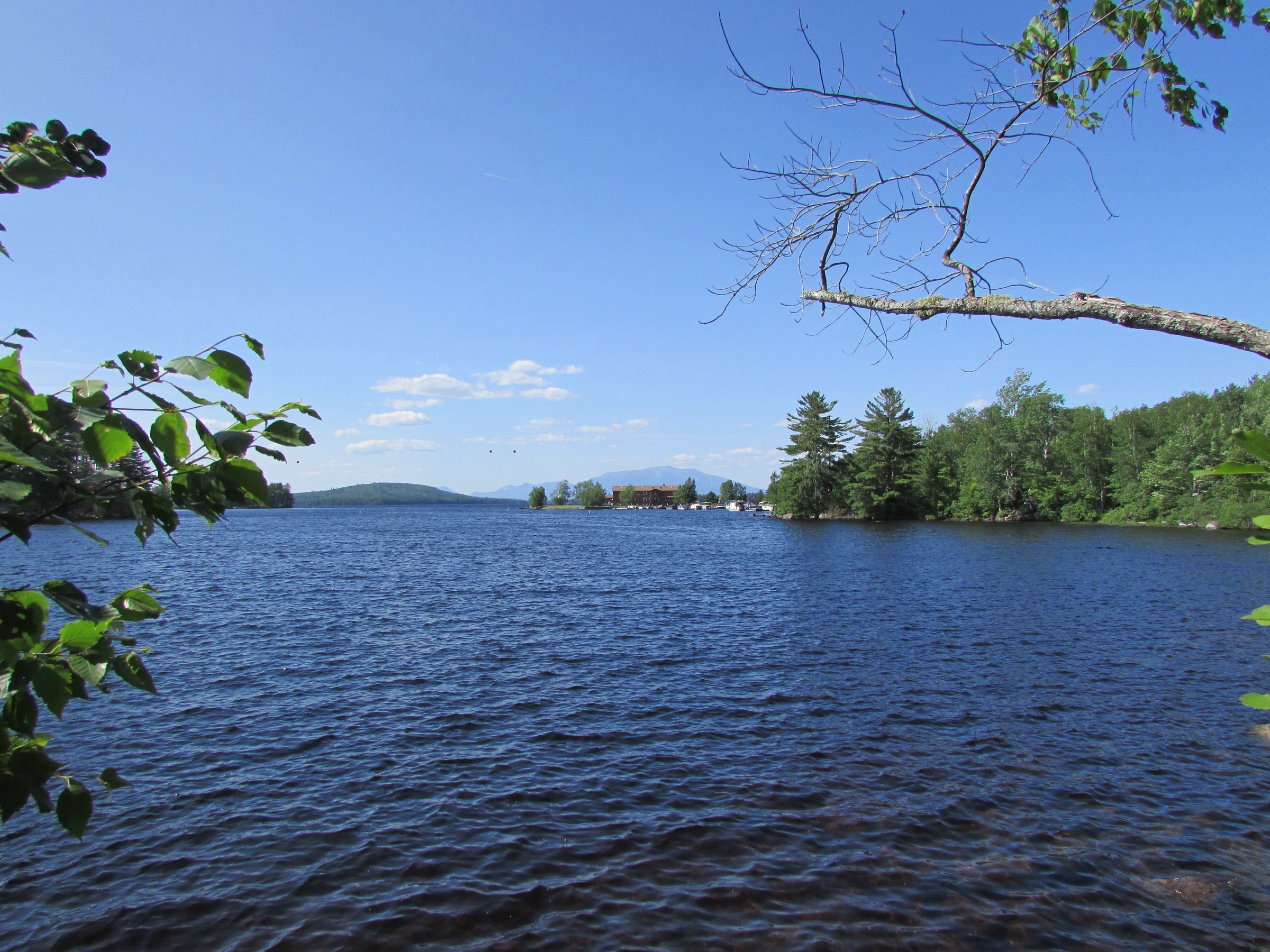
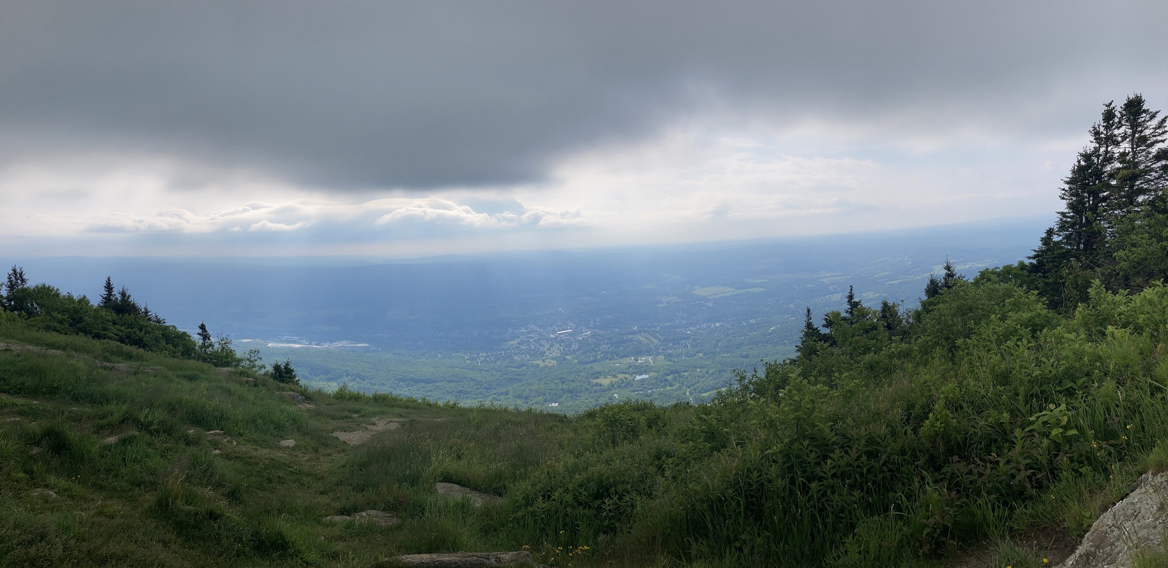
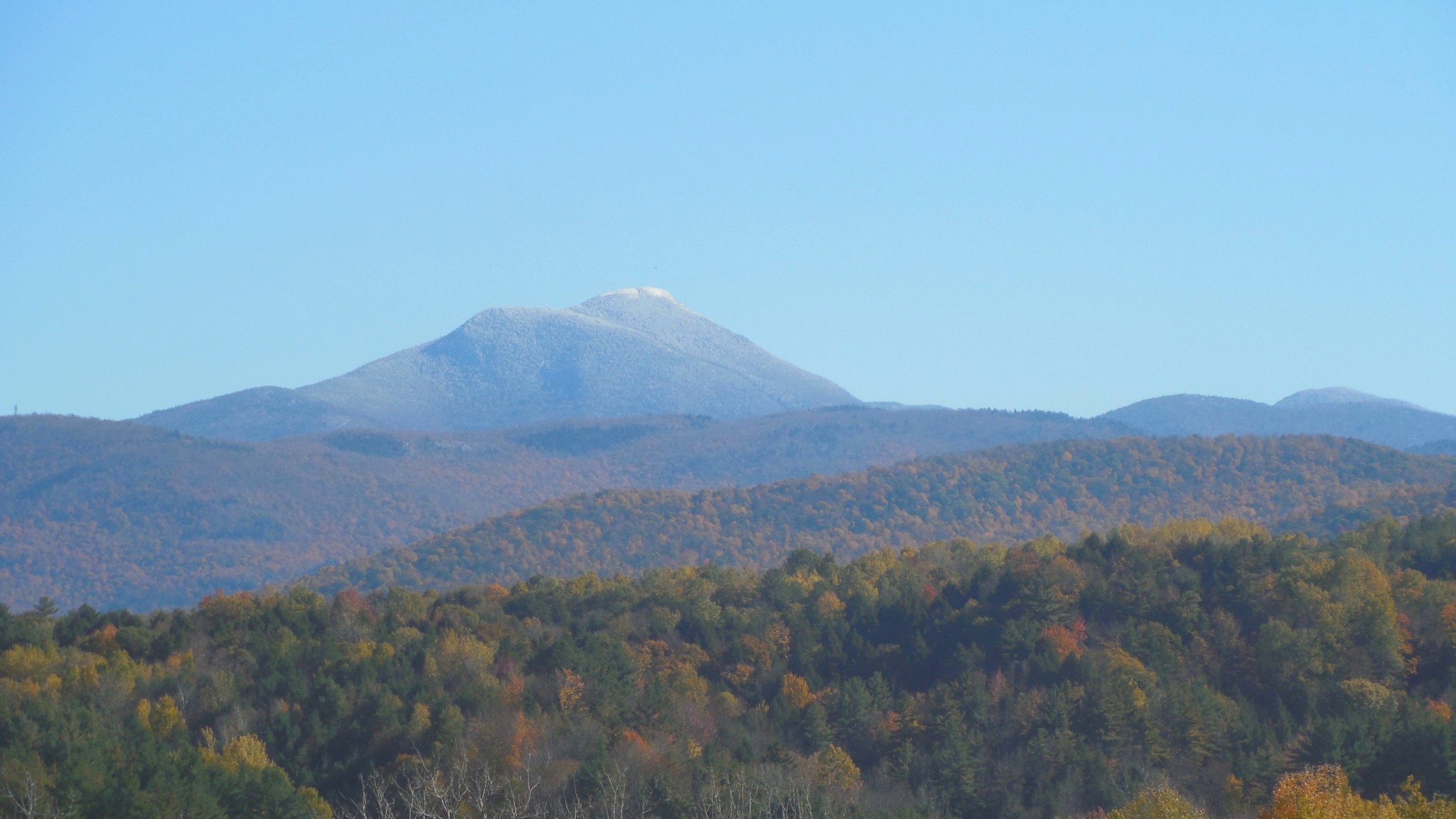
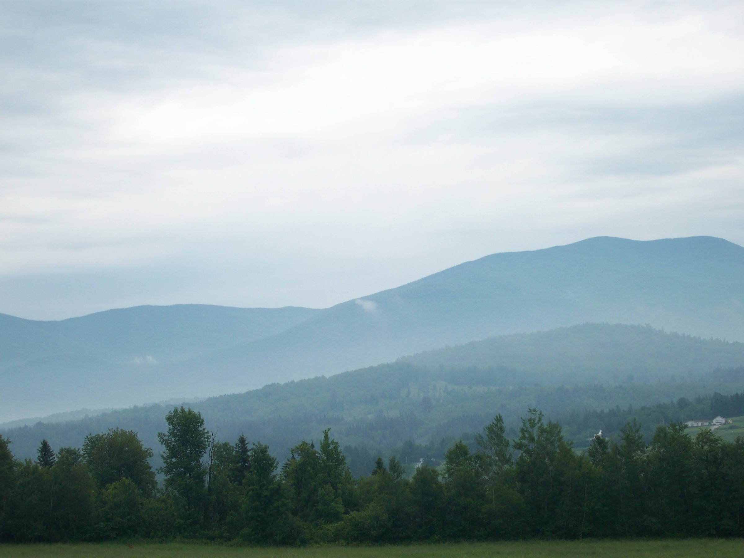
Maine’s Western Mountains form the north-eastern terminus of the classic Appalachian chain and the last significant alpine country before the Northern Appalachians drop away into the Kennebec valley and pick up again in the far north at Katahdin. The sub-region sits west of Route 27, north of the New Hampshire White Mountains, and south-west of Baxter State Park. It contains five of Maine’s fourteen 4,000-footers — Bigelow West Peak, Bigelow Avery Peak, Old Speck, Saddleback, and The Horn — and its character is dominated by long Appalachian Trail-traversed ridgelines, glacial cirques, quartzite ledges above small mountain ponds, and remote spruce-fir plateaus. The country is materially wilder than the Whites: settlements are small (Rangeley, Stratton, Bethel, Weld), and moose habitat begins where hardwoods thin at about 600 m.
The primary hiking centres are Rangeley for the Saddleback Range and the northern approaches, Stratton and Kingfield for the Bigelow Range and Sugarloaf area, Bethel and Newry at the mouth of Grafton Notch for Old Speck and Baldpate, and Weld for Tumbledown. Land management is unusually mixed. Most non-federal wild land is held by Maine Bureau of Parks and Lands (BPL) as Public Reserved Lands — notably the 36,000-acre Bigelow Preserve (established 1976 by a citizens’ ballot referendum that specifically stopped ski-resort development on the range) and the Tumbledown Public Reserved Land. Grafton Notch State Park, also BPL-managed, contains the Old Speck and Baldpate trailheads. The far south-western end of the range — the Mahoosucs above Grafton Notch — falls within the Maine portion of the White Mountain National Forest. The Appalachian Trail runs uninterrupted through every hike below, maintained on the ground by the Maine Appalachian Trail Club (MATC) under the Appalachian Trail Conservancy (ATC).
The practical dry-hike season on the higher summits is late June through early October. Snow can linger on north-facing scree into late May, and the alpine zones on Saddleback, the Bigelows, and Baldpate hold verglas and rime from October into May. Blackfly season — the region’s defining nuisance — runs from about late May into early July, with deer flies replacing them mid-summer; hikers walking the ridges in June should carry head-nets and a decent DEET or picaridin repellent. Moose are common along wet valleys around Rangeley and in the Kennebago drainages; give them significant space, especially cows with calves in June.
Access rules are straightforward. Trailheads on BPL land carry no day-use fees at Bigelow and Tumbledown; Grafton Notch State Park charges a modest self-service fee (typically ~US$4 for non-residents at the iron ranger at the trailhead). The AT crossing at Route 4 for Saddleback is unfenced and free. There is no reservation system for parking anywhere in the range, but the small BPL lots at Tumbledown and the AT lot at Grafton Notch fill on peak fall weekends. MATC-maintained shelters (Piazza Rock lean-to on Saddleback, Horns Pond and Bigelow Col lean-tos/tent platforms on Bigelow, Baldpate lean-to) are first-come first-served in peak season, with GMC-style caretaker presence at the two Bigelow sites. Dogs are permitted throughout on-leash or under voice control.
Hazards on the higher routes are commensurate with a genuine sub-alpine environment. Above-treeline exposure on Saddleback–Horn (~3 km of open tundra), the Bigelow ridge (~4 km), and Baldpate East Peak (a broad exposed granite dome) is real; lightning is the single most serious weather risk on hot summer afternoons, and there is essentially no bail-out from any of these open ridges once committed. Cell coverage is spotty in the western Maine backcountry — the Bigelow and Rangeley areas have marginal service and Grafton Notch has none. The MATC’s Maine Mountain Guide is the definitive printed reference; digital hikers should download offline maps before travel.
Selection rationale
The five walks below span the five defining experiences of Maine’s Western Mountains. The Bigelow Range traverse is the range’s iconic ridge day — a long high traverse over two 4,000-footers with continuous views over Flagstaff Lake, preserved by public referendum from becoming a ski resort. Old Speck is the north-easternmost 4,000-footer of the White Mountain / Mahoosuc chain and the first Maine peak the AT reaches after crossing from New Hampshire — with an observation-tower summit view over Grafton Notch. Saddleback and The Horn deliver the longest continuous alpine ridge in the state — roughly 3 km of open tundra with uninterrupted panoramas from Katahdin to the Whites. Tumbledown is the range’s iconic pond-tarn walk — a small glacial cirque with a swimmable alpine pond directly below three quartzite summits, and the state’s most-photographed low-4,000-footer composition. Baldpate is Old Speck’s natural companion across Grafton Notch — a huge exposed granite dome with the widest summit in the range and one of the steepest sustained AT climbs in Maine. Together they cover the range’s iconic ridge (Bigelow), its Mahoosuc anchor (Old Speck), its longest alpine crossing (Saddleback–Horn), its most photogenic small hike (Tumbledown), and its steepest AT day (Baldpate).
Summary table
| # | Hike | Country | Route type | Distance | Gain | Max elevation | Difficulty |
|---|---|---|---|---|---|---|---|
| 1 | Bigelow Range Traverse (West Peak + Avery Peak) | USA | Loop | ~20.8 km (~12.9 mi) | ~1,194 m | 1,263 m | Very strenuous |
| 2 | Old Speck Mountain via the AT (Grafton Notch) | USA | Out-and-back | ~11.3 km (~7.0 mi) | ~840 m | 1,271 m | Strenuous |
| 3 | Saddleback Mountain and The Horn via AT | USA | Out-and-back | ~17.7 km (~11.0 mi) | ~930 m | 1,255 m | Very strenuous |
| 4 | Tumbledown Mountain — Loop and Brook Trails | USA | Loop | ~7.4 km (~4.6 mi) | ~660 m | 931 m | Moderate–Strenuous |
| 5 | Baldpate Mountain (West + East Peaks) via AT | USA | Out-and-back | ~12.6 km (~7.8 mi) | ~900 m | 1,163 m | Very strenuous |
1. Bigelow Range Traverse — West Peak and Avery Peak
Snapshot
Itinerary
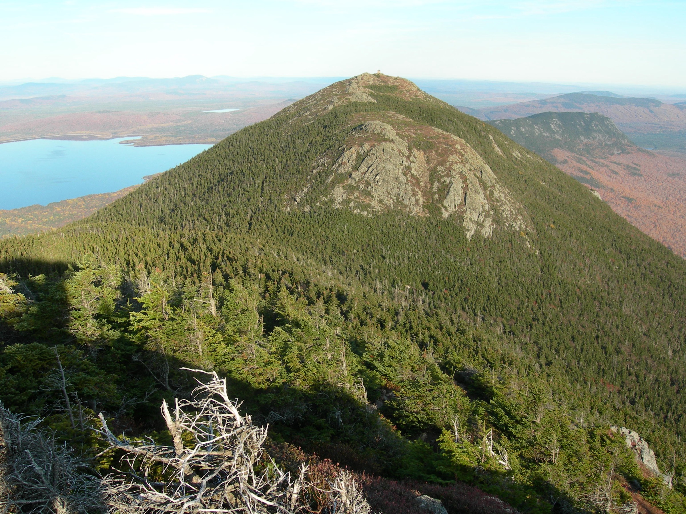
From the Stratton Brook Pond Road trailhead in the Bigelow Preserve, follow the Fire Warden’s Trail north-east through mixed hardwood then spruce-fir forest, climbing steadily along the drainage of Stratton Brook. The trail passes Moose Falls Campsite at about 4.5 km — the last reliable water on the ascent — and then steepens dramatically into the “staircase,” a sustained 400 m climb of stone stairs and roots up to Bigelow Col at 1,161 m (3,810 ft), a small alpine notch between West and Avery Peaks with a spring, a MATC caretaker cabin and tent platforms. From the col, drop packs and climb west 0.4 km to the summit of West Peak at 1,263 m (4,145 ft) — a rounded alpine dome with sweeping views north over Flagstaff Lake to the Kennebec Valley and, on very clear days, Katahdin ~130 km to the north-east. Return to Bigelow Col and climb east 0.5 km to Avery Peak at 1,246 m (4,088 ft), a slightly lower but more open summit named for MATC founder and AT visionary Myron Avery. From Avery, drop south on the Appalachian Trail and traverse the ridge west over South Horn (1,183 m / 3,880 ft) and past Horns Pond — a small alpine tarn with a MATC lean-to and tent platforms — before descending back to Stratton Brook Pond Road. The full loop can be reversed if morning weather favours an AT-first approach.
Why it is essential
The Bigelow Range is Maine’s second-most iconic Appalachian Trail summit day after Katahdin — a long alpine ridge above Flagstaff Lake preserved by the 1976 Bigelow Preserve ballot referendum, which specifically stopped a proposed ski-resort development on the range. The traverse over both 4,000-footers with the Horns and Horns Pond on the return is one of the finest sustained ridge walks in the eastern USA. Avery Peak carries additional AT-historical significance as the memorial peak to Myron Avery, who did more than any single individual to complete the Appalachian Trail as a continuous footpath.
Equipment
- Sturdy boots with grip on loose scree
- Weatherproof shell — the ridge is fully exposed
- Warm insulating layer, hat and gloves for the col even in July
- 3 L water — treat any stream water; nothing above Moose Falls Campsite
- Sun protection for the ridge
- Trekking poles for the descent
- Map, compass and downloaded MATC / BPL map
- Headtorch — 10-hour days are common
- Blackfly head-net and repellent in June and early July
Hazards and notes
- Above-treeline exposure for ~4 km between West Peak and the descent past South Horn; lightning is the primary hazard
- Loose scree on the final 0.7 mi to West Peak; particularly slippery in wet weather
- No reliable water on the ridge; the last spring is at Bigelow Col
- Trailhead lot fills before 08:00 on peak fall weekends
- No fees at Bigelow Preserve trailheads
- Cell coverage patchy in the preserve, absent on the ridge
- MATC caretakers staff Bigelow Col and Horns Pond in the main season; respect posted overnight rules if bailing out
GPX / KML links
Sources
2. Old Speck Mountain via the AT (Grafton Notch)
Snapshot
Itinerary
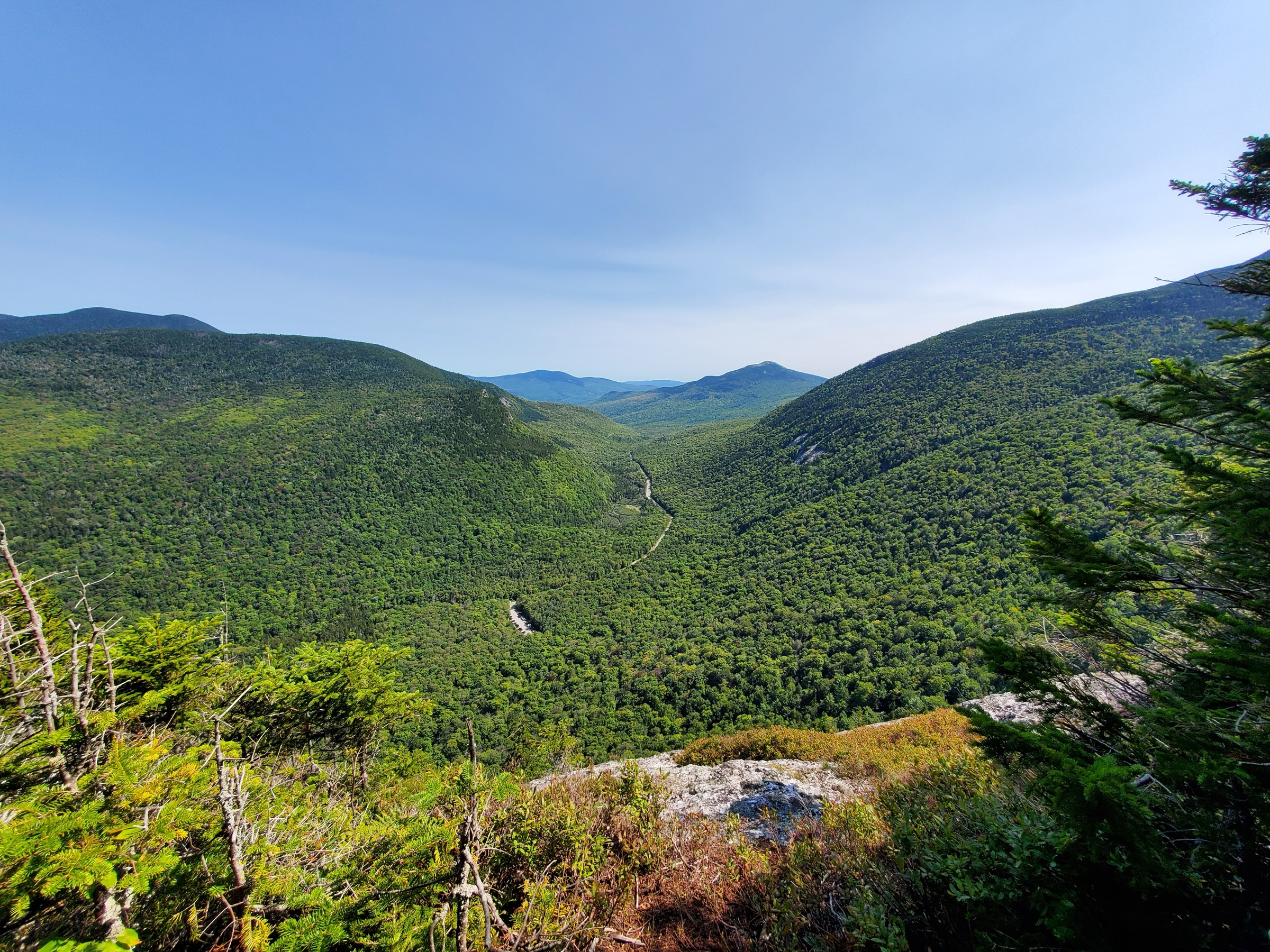
From the AT parking lot at Grafton Notch State Park on Route 26 (drop the small self-service day-use fee at the iron ranger), pick up the Old Speck Trail / Appalachian Trail heading south and immediately begin the sustained climb. The trail follows the Cascade Brook drainage for the first ~1.5 km, passing several small waterfalls (a spur trail east reaches the Eyebrow — a striking granite cliff overlooking the notch — and can be used as a loop variant), then steepens into a series of stone-step climbs and open granite slabs through mixed hardwood and spruce-fir. The final 2 km curls south and east onto the summit shoulder and reaches the summit of Old Speck Mountain at 1,271 m (4,170 ft), which carries an observation tower on the otherwise wooded summit. From the tower the view runs south and west along the full Mahoosuc chain to Mount Washington, north across Grafton Notch to Baldpate, and east to Sunday River and beyond. Return by the same route, or drop east on the Eyebrow Trail loop for a slightly longer descent with the notch views in front of you. Screw Auger Falls in the state park is a natural cool-off stop on the drive out.
Why it is essential
Old Speck is Maine’s fourth-highest peak, the north-easternmost 4,000-footer of the Mahoosuc and White Mountain chain, and the point at which the Appalachian Trail crosses from the White Mountains into the Maine Woods. The observation tower gives one of the few genuine 360-degree summit views on any Maine AT peak, and the climb itself — steady, on well-graded MATC/ATC tread — is the most accessible 4,000-footer day in the western Maine range for parties not ready to commit to a Bigelow or Saddleback traverse.
Equipment
- Sturdy hiking boots with grip on wet granite slab
- Weatherproof shell
- Warm layer for the summit tower
- 2.5 L water
- Sun protection for the summit
- Trekking poles helpful on the descent
- Map, compass and downloaded state park map
- Microspikes into late May and again from mid-October
Hazards and notes
- Exposed granite slabs on the middle third are slick when wet — descend with care
- Summit tower is exposed to full weather and lightning
- Grafton Notch State Park charges a self-service day-use fee (typically ~US$4 non-resident) at the iron ranger
- Trailhead lot fills on peak fall weekends and during peak AT thru-hiker season in August
- Cell coverage absent throughout the notch
- The AT crossing here is heavily used by thru-hikers in mid- to late-summer — expect walker traffic
GPX / KML links
| Source | URL | Format | Notes |
|---|---|---|---|
| Maine BPL / MNAP — Old Speck & Eyebrow guide (PDF) | maine.gov | Official PDF | Route detail and geology |
| Maine BPL — Grafton Notch State Park | maine.gov | Official park page | Access, fees, hours |
| Maine Trail Finder — Old Speck | mainetrailfinder.com | State-supported hiking database | Route description |
Sources
3. Saddleback Mountain and The Horn via the AT
Snapshot
Itinerary
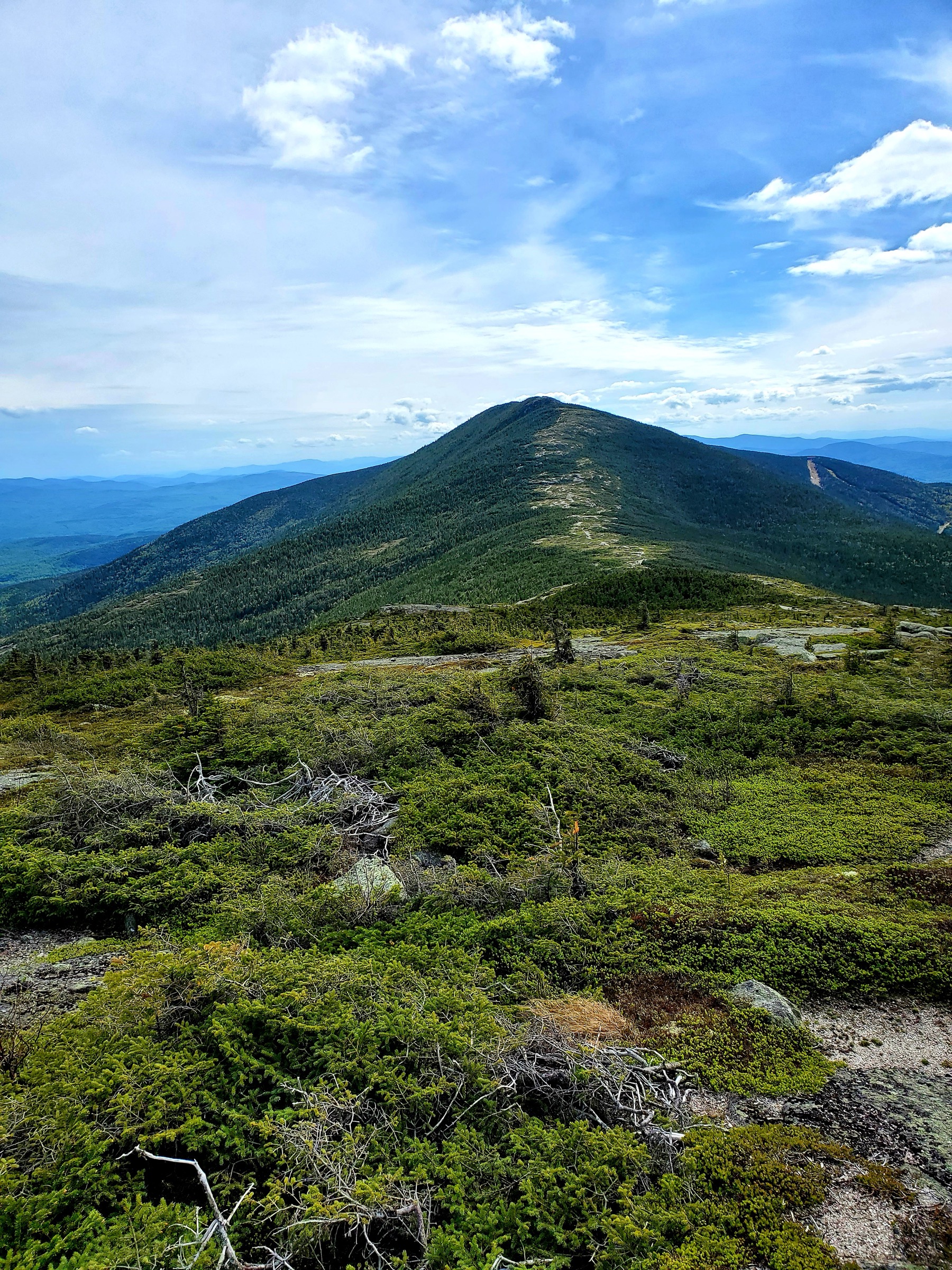
From the AT crossing on Route 4 (a small gravel pull-off, no fee, no reservations), pick up the Appalachian Trail heading north. The trail climbs steadily through mixed hardwood forest and reaches Piazza Rock lean-to at about 3 km — a MATC-maintained shelter beside a house-sized glacial erratic, the Piazza Rock itself, which is a classic AT waypoint. Beyond the lean-to the trail climbs past Ethel Pond and Eddy Pond, passing several small tarns and steepening through the spruce-fir belt to reach Saddleback Mountain at 1,255 m (4,120 ft), Maine’s fifth-highest peak. From Saddleback, the AT stays entirely above treeline for the next ~3 km — the longest continuous alpine ridge on the entire Appalachian Trail outside Katahdin — over the intermediate summit of Saddleback Junior (1,152 m / 3,780 ft) and then up to The Horn at 1,226 m (4,024 ft). The view from the ridge runs east to Katahdin on clear days, west to the Bigelows and the New Hampshire Whites, north over the Rangeley Lakes, and south across the western Maine wilds. Return by the same tread; parties short on time or facing marginal weather can turn back at Saddleback and skip the alpine ridge crossing.
Why it is essential
The Saddleback-to-Horn ridge is the longest continuous above-treeline stretch on the Appalachian Trail between the Presidential Range in New Hampshire and Katahdin — roughly 3 km of open tundra with uninterrupted views in every direction. The alpine plant communities on the ridge are among Maine’s most fragile, protected by MATC and BPL trail crews, and the passage past Piazza Rock adds one of the AT’s most memorable stone features. It is the range’s most-committed day at genuine alpine risk-reward and the essential Maine AT ridge day.
Equipment
- Sturdy boots with grip on wet granite
- Weatherproof shell — the ridge is fully exposed
- Warm insulating layer, hat and gloves for the ridge even in July
- 3 L water — treat pond water below the ridge; no reliable source above Saddleback
- Sun protection for the ridge crossing
- Trekking poles for the descent
- Map, compass and downloaded AT map
- Headtorch — 9-hour days are common
- Blackfly net and repellent in June
Hazards and notes
- Alpine exposure for ~3 km with no bail-out; lightning is the primary hazard — turn back at Saddleback if storms are building
- Stay on rock or cairned tread above treeline — alpine tundra takes decades to recover
- Piazza Rock lean-to is first-come first-served with a MATC caretaker in peak season
- Route 4 trailhead has small unmarked pull-off parking — no reservations, no fee
- Cell coverage patchy on the ridge, absent below treeline
- Saddleback ski resort is on the west flank of the mountain; expect summer maintenance activity on the resort side but not on the AT approach
GPX / KML links
| Source | URL | Format | Notes |
|---|---|---|---|
| Maine Trail Finder — Saddleback Mountain | mainetrailfinder.com | State-supported hiking database | Route description |
| Maine Trail Finder — Piazza Rock | mainetrailfinder.com | State-supported hiking database | Approach detail |
| Appalachian Trail Conservancy | appalachiantrail.org | Official AT organisation | AT context |
Sources
4. Tumbledown Mountain via the Loop and Brook Trails
Snapshot
Itinerary
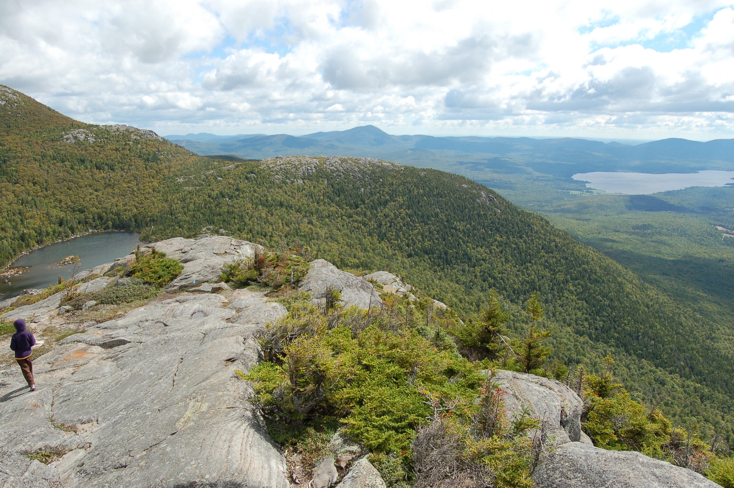
From the Byron Road trailhead in the Tumbledown Public Reserved Land, pick up the Loop Trail heading north. The trail climbs steadily through mixed hardwood forest for the first ~1.5 km, then breaks onto open granite ledges with growing views south to Webb Lake and the surrounding hills. The trail steepens as it enters the middle third of the route and reaches the mountain’s signature obstacle — Fat Man’s Misery, a narrow boulder squeeze between two enormous glacial erratics that requires shedding a pack and shimmying through. Beyond Fat Man’s Misery a short exposed rock scramble puts the party on the summit ridge just above Tumbledown Pond, a small alpine cirque tarn at ~810 m tucked directly below the three summits — swimming is permitted and the water, though genuinely cold, is a fine mid-hike stop. From the pond climb west 0.6 km on marked tread to the true summit at West Peak at 931 m (3,054 ft), with a panorama running north to the Bigelows, east to Sugarloaf, and south across the Rangeley Lakes. Return south from the pond on the Brook Trail, which drops steadily through hardwood forest along the mountain’s south flank to the Brook Trail trailhead, connected to the Loop Trail parking by a short 400 m road walk. The counter-clockwise direction (Loop up, Brook down) is standard — the Fat Man’s Misery scramble is not recommended for descent.
Why it is essential
Tumbledown is the range’s iconic pond-tarn walk — the Maine equivalent of the White Mountains’ Chocorua composition, transferred to a shorter, more accessible day. The Fat Man’s Misery boulder squeeze is a rite of passage for New England hikers and the walk’s signature moment. The alpine pond directly below the three summits is one of the state’s most photographed compositions and one of very few genuine cirque tarns in the Maine mountains outside Baxter State Park.
Equipment
- Sturdy hiking boots with grip on wet slab
- Weatherproof shell
- Warm layer for the summit and the pond
- 2 L water — the pond is drinkable if treated, but bring your own
- Sun protection for the upper ledges
- Trekking poles helpful on the Brook Trail descent
- Map, compass and downloaded BPL map
- Swimwear if pond-stop is planned (Tumbledown Pond)
- Blackfly net and repellent in June
Hazards and notes
- Fat Man’s Misery boulder squeeze is genuinely tight — check pack fit and be prepared to remove and pass packs through
- The derelict Tumbledown Chimney Trail is unmaintained and BPL advises against its use
- Wet quartzite slabs on the upper Loop Trail are slick — descend particularly carefully after rain
- Trailhead lots are small and fill before 09:00 on peak fall weekends; overflow parking is limited
- No fees at Tumbledown Public Reserved Land
- Cell coverage patchy at the summit, absent on the trail
- Do not attempt the exposed hand-over-foot scramble section in wet or icy conditions
GPX / KML links
| Source | URL | Format | Notes |
|---|---|---|---|
| Maine BPL / MNAP — Tumbledown Loop guide (PDF) | maine.gov | Official PDF | Route detail and geology |
| Maine BPL — Tumbledown Public Reserved Lands | maine.gov | Official BPL page | Access and rules |
| Maine Trail Finder — Tumbledown Loop | mainetrailfinder.com | State-supported hiking database | Route description |
Sources
- Maine BPL — Tumbledown Public Reserved Lands
- Maine BPL / MNAP — Tumbledown guide
- Maine Trail Finder — Tumbledown Loop
5. Baldpate Mountain via the AT from Grafton Notch
Snapshot
Itinerary
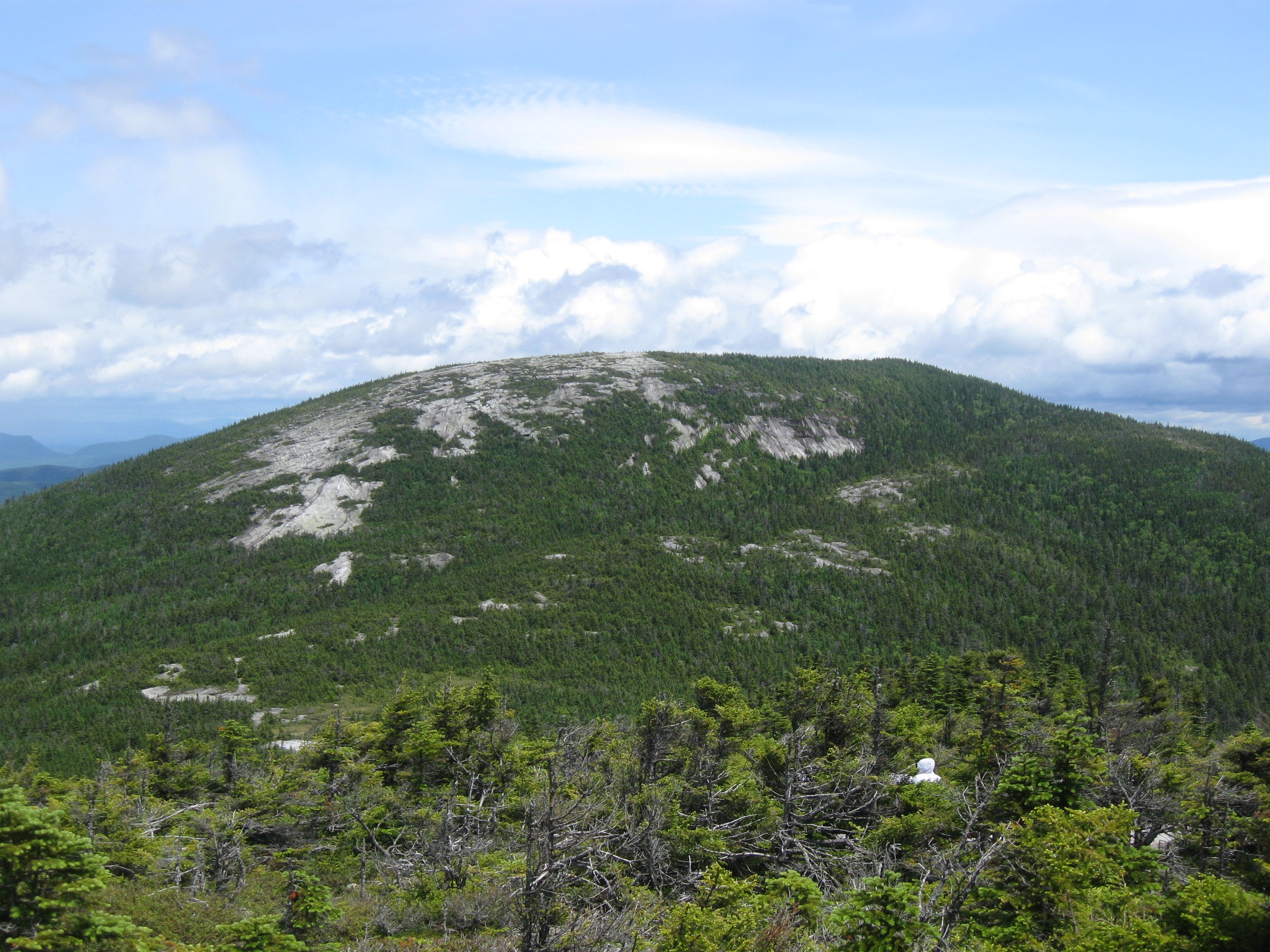
From the Grafton Notch AT parking lot on Route 26, cross to the north side of the road and pick up the Appalachian Trail heading east. The trail climbs steadily through mixed hardwood then spruce-fir forest for the first ~3 km, passing the signed Table Rock spur trail east (a worthwhile 2.4 km round-trip detour to the giant Table Rock overhang above the notch, easily added on the return). Continue on the AT past Baldpate lean-to (a MATC-maintained shelter, first-come first-served) and reach West Peak at 1,116 m (3,662 ft), a rounded wooded summit that serves as the col to East Peak. From West Peak, drop briefly into the col between the two summits and climb — very steeply — the final 0.7 mile (1.1 km) to East Peak at 1,163 m (3,815 ft): this segment gains roughly 300 m in just over 1 km and is one of the steepest sustained AT climbs in Maine. The reward is a huge open granite dome, wider and more exposed than any other summit between Grafton Notch and Katahdin, with 360-degree views south along the Mahoosucs to Mount Washington, west to the White Mountains, and north toward the Rangeley country. Return by the same tread; a Table Rock side trip on the descent adds spectacular views back into the notch. In poor visibility on East Peak, follow the cairns carefully — the dome is broad enough to be genuinely disorienting in fog.
Why it is essential
Baldpate is Old Speck’s natural companion peak across Grafton Notch — the second half of the “Grafton Notch double.” Its enormous open granite summit dome is the widest exposed summit in the western Maine range and one of the most weather-committed AT summits in the state. The steep 300 m final climb from the col to East Peak is one of the AT’s steepest sustained sections in Maine, and the summit view is one of the finest in the range. Table Rock, a giant slab overlook with a small cave beneath it, adds a photographic side trip on the return.
Equipment
- Sturdy boots with grip on wet granite
- Weatherproof shell — East Peak is fully exposed
- Warm insulating layer, hat and gloves for the summit dome
- 2.5 L water — treat any stream water
- Sun protection for the summit
- Trekking poles for the descent
- Map, compass and downloaded state park map
- Blackfly net and repellent in June
Hazards and notes
- East Peak’s open granite dome is fully exposed to lightning and wind — extreme caution in unsettled weather
- Slick granite slabs when wet; the steep col-to-East-Peak segment is treacherous on descent after rain
- East Peak is broad enough to be disorienting in fog — follow cairns carefully
- Grafton Notch State Park self-service day-use fee applies at the trailhead
- Trailhead lot fills on peak fall weekends and during AT thru-hiker season
- Cell coverage absent throughout
- Baldpate lean-to is first-come first-served — no reservations
GPX / KML links
| Source | URL | Format | Notes |
|---|---|---|---|
| Maine BPL — Grafton Notch State Park | maine.gov | Official park page | Access, fees, hours |
| Maine Trail Finder — Baldpate & Table Rock | mainetrailfinder.com | State-supported hiking database | Route description |
| Maine Appalachian Trail Club | matc.org | Official trail organisation | AT context |
Sources
- Maine BPL — Grafton Notch State Park
- Maine Appalachian Trail Club
- Maine Trail Finder — Baldpate & Table Rock
Missing data / follow-up work
- Grafton Notch State Park day-use fee 2026 — the self-service fee has been ~US$4 for non-residents in recent years; verify current rate on the Maine BPL site before travel.
- MATC caretaker schedules 2026 — MATC staffs Piazza Rock, Horns Pond and Bigelow Col with seasonal caretakers; specific 2026 dates are set annually and should be checked on matc.org.
- Trailhead access and road status — Stratton Brook Pond Road (Bigelow), Byron Road (Tumbledown) and the AT crossing on Route 4 are all seasonal gravel or minor paved roads; check current status for spring mud-season and winter closures with Maine BPL and DOT.
- Elevation-gain figures for Saddleback and Baldpate vary between GPS-tracked sources (AllTrails) and MATC/BPL guidebook figures by ±100 ft; the figures used here reflect the most commonly cited AllTrails / consensus values, but the MATC Maine Mountain Guide remains the definitive printed reference.
- The Horn summit elevation — Wikipedia lists 4,024 ft, the New England 4,000-Footer Committee lists 4,041 ft; the difference reflects a survey update but both are still in common use.
- Blackfly and moose activity — timing of the blackfly emergence and moose calving season varies year to year with snowpack and temperature; consult local guides in Rangeley, Stratton and Weld for current conditions before travel in May–early July.
Further reading
| Source | URL |
|---|---|
| Maine Bureau of Parks and Lands (BPL) | maine.gov/dacf/parks |
| Maine Appalachian Trail Club (MATC) | matc.org |
| Appalachian Trail Conservancy | appalachiantrail.org |
| Maine BPL — Bigelow Preserve | maine.gov |
| Maine BPL — Grafton Notch State Park | maine.gov |
| Maine BPL — Tumbledown Public Reserved Lands | maine.gov |
| Maine Trail Finder | mainetrailfinder.com |
| Maine Natural Areas Program (MNAP) hike guides | maine.gov |
| USFS — White Mountain National Forest (Maine portion) | fs.usda.gov |
| New England 4,000-Footer Committee | amc4000footer.org |