Regional overview
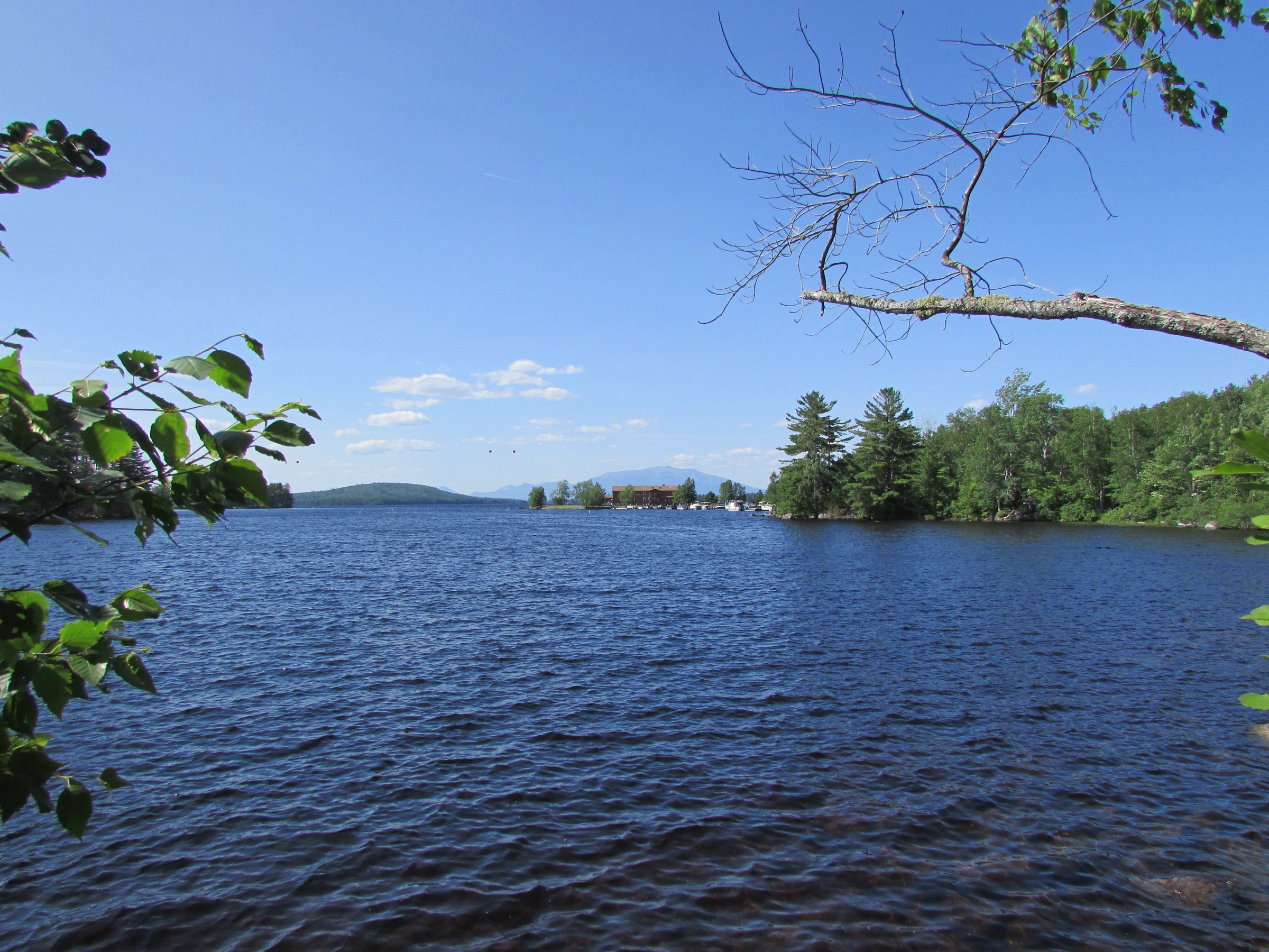
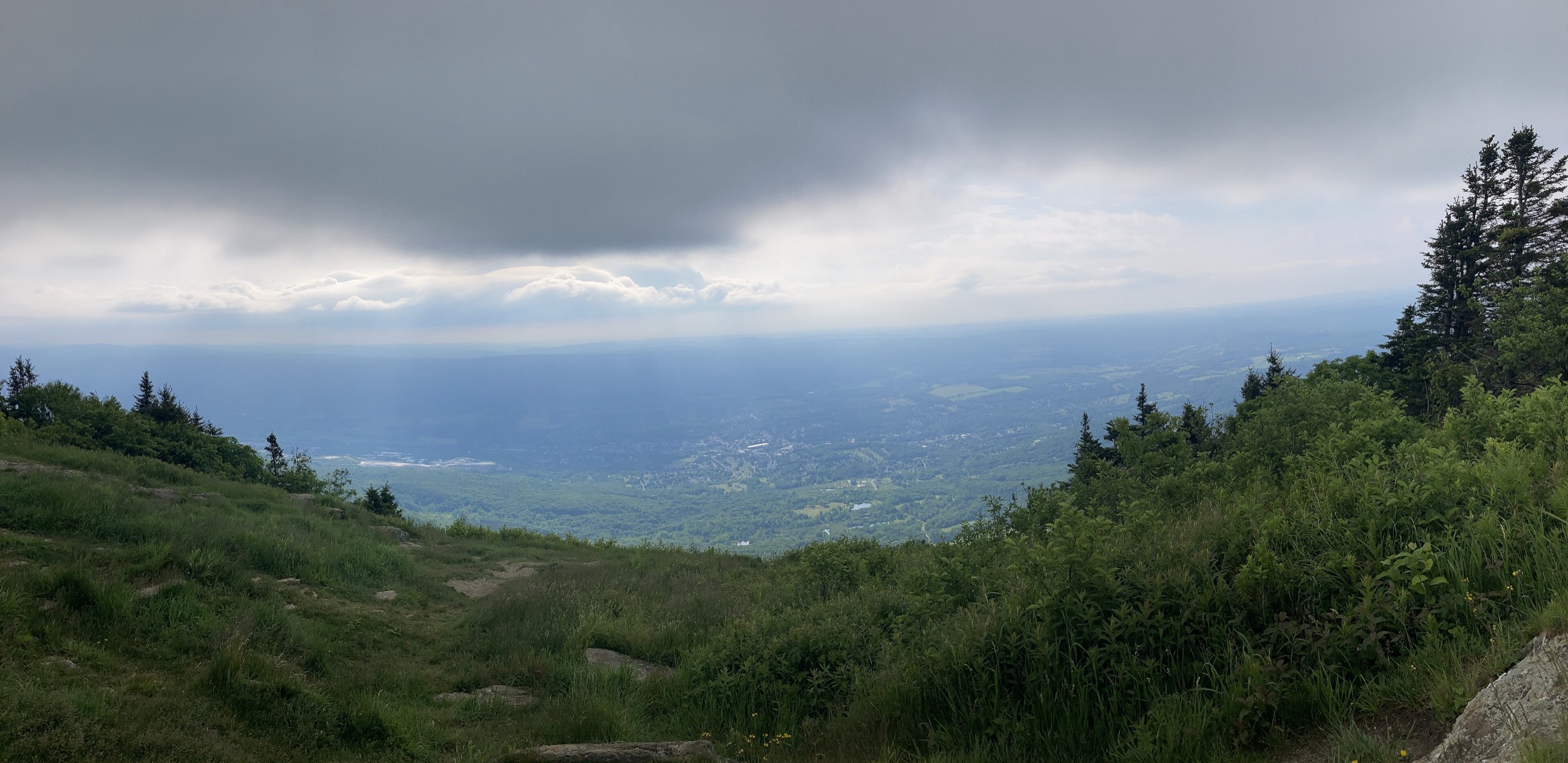
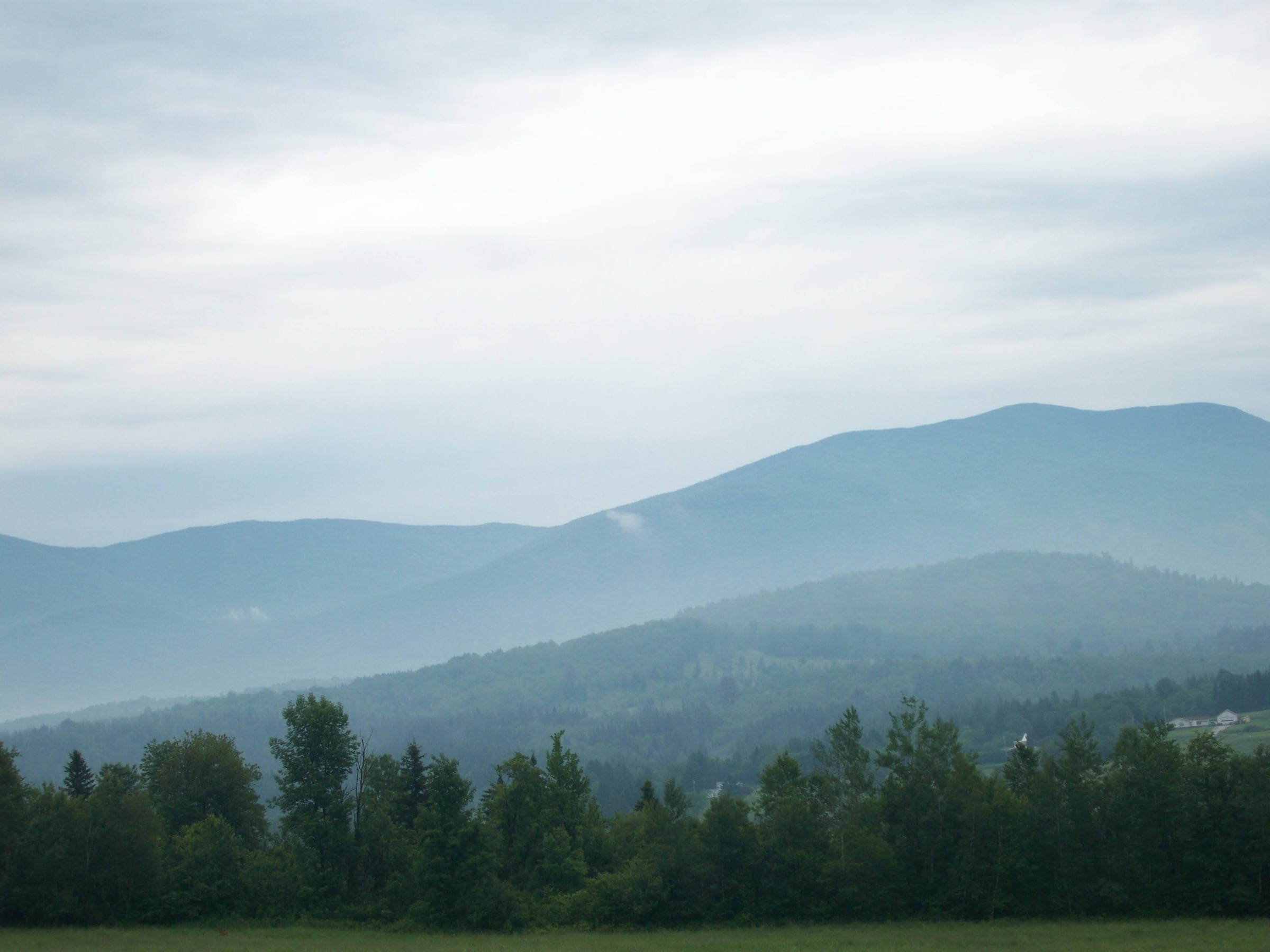
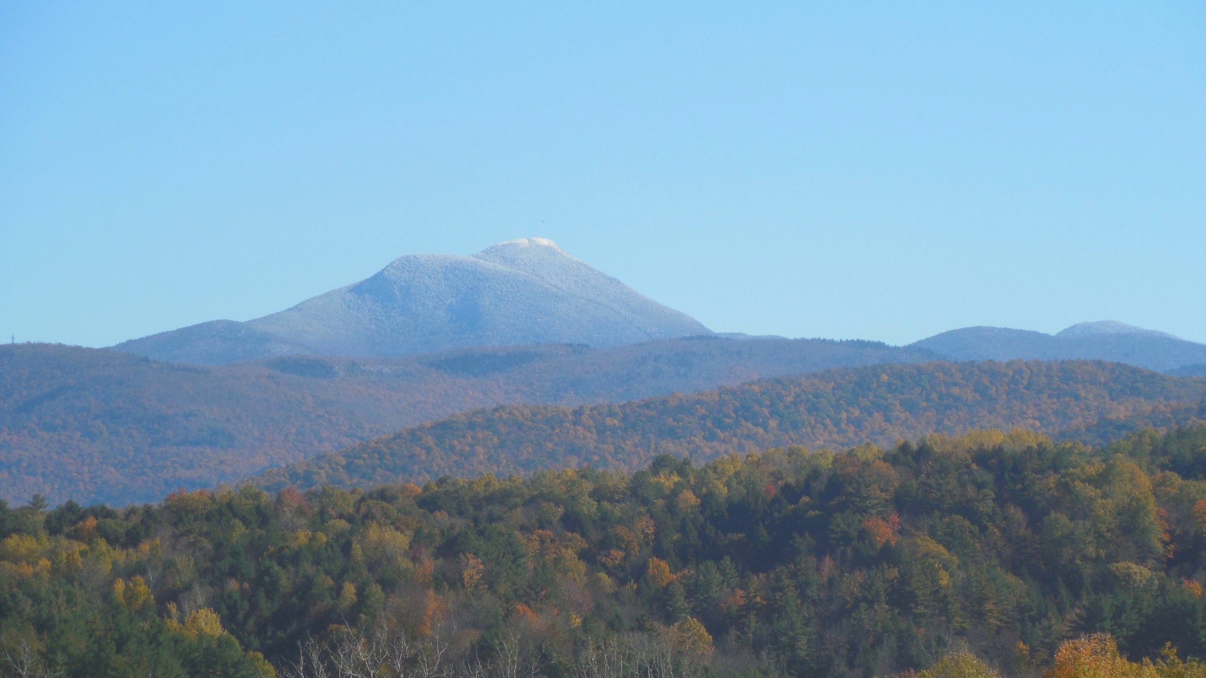
Vermont’s Green Mountains form the state’s spine — a narrow, north-south range that runs almost 400 km from the Massachusetts border to the Canadian frontier and constitutes the northern extension of the Appalachian chain between the Berkshire-Taconic country to the south and the White Mountains beyond the Connecticut River to the east. The range is lower and more forested than the Whites: only five summits break the 1,220 m (4,000 ft) mark. Mount Mansfield at 1,339 m (4,393 ft) is Vermont’s highest peak; Killington Peak at 1,289 m (4,229 ft) is second; Mount Ellen and Camel’s Hump follow at 1,244 m (4,083 ft); Mount Abraham rounds out the list at 1,224 m (4,016 ft). The range is drained west into Lake Champlain and east into the Connecticut River, its higher summits sculpted by the Wisconsinan ice sheet into rounded ridges and open alpine tundra on the very highest ground.
The primary hiking centres are Stowe and Waterbury at the base of Mansfield, Huntington and Waitsfield for Camel’s Hump and the Lincoln Range, Killington and Rutland for the central peaks, and Manchester and Bennington on the southern approaches. The Green Mountain Club (GMC), founded in 1910 and headquartered in Waterbury Center, is the region’s principal trail organisation. The GMC built and maintains the Long Trail — the oldest long-distance hiking trail in the United States, running 438 km (272 mi) along the spine of the Green Mountains from the Massachusetts line to the Canadian border. The Long Trail is the backbone of Vermont hiking: every one of the five walks below either follows it or uses it as an access spur. The southernmost 169 km of the Long Trail coincides with the Appalachian Trail before the AT branches east near Killington.
The practical dry-hike season on the higher Green Mountain summits is mid-May through mid-October. The alpine zones on Mansfield’s Chin, Camel’s Hump’s summit dome and Abraham’s ridge are effectively in a winter regime from November through April, with rime, verglas and gale winds regular on any exposed above-treeline crossing. Mud season (typically late March through Memorial Day, but extending later in wet years) is a period when the GMC and Vermont Department of Forests, Parks and Recreation actively request that walkers stay off the higher trails to prevent erosion damage — voluntary compliance is expected, and some trails on state land are formally closed. The GMC publishes annual mud-season updates on greenmountainclub.org.
Access rules are the simplest in the northeast. Most Green Mountain trailheads are on Green Mountain National Forest (GMNF) land or state forest / state park land, and neither requires a day-use fee for hiking; parking is free at Long Trail crossings, GMC-managed trailheads on GMNF land, and most Vermont state park hiker parkings. Vermont State Parks (including Underhill State Park, the starting point for Sunset Ridge on Mansfield) charge a modest day-use fee when the park entrance station is staffed — typically US$5 per adult. There is no reservation system for parking; popular trailheads (Underhill, Burrows Trail at Camel’s Hump, Long Trail parking at Lincoln Gap) fill early on peak summer and autumn weekends. Dogs are permitted on all Green Mountain trails but must be under control on the alpine tundra of Mansfield and Camel’s Hump.
Hazards on the higher routes are more limited than in the Whites but not trivial. Weather can turn on any summit; thunderstorms build fast on hot afternoons on the exposed alpine ridges of Mansfield and Camel’s Hump. The tiny alpine tundra communities on Mansfield’s Chin, Camel’s Hump’s summit and Abraham’s ridge are the most fragile plant communities in Vermont — hikers must stay on rock and cairned tread above treeline. Cell coverage is spotty and often absent below the ridges. The GMC’s Waterbury Center visitor centre, the Long Trail Inn at Killington, and Underhill State Park all carry current trail conditions and are the recommended pre-hike stops.
Selection rationale
The five walks below span the five defining experiences of the Green Mountains. Mount Mansfield via the Sunset Ridge Trail from Underhill is Vermont’s highest summit by its finest above-treeline approach — the longest continuous open ridge in the state. Camel’s Hump via the Burrows Trail is the region’s most iconic profile and the tightest, best-organised alpine summit day in Vermont. Killington Peak via the Bucklin Trail is Vermont’s second-highest and the biggest sustained forest climb in the central Greens, ending on a high, if resort-shared, summit with cross-state views. Mount Abraham via the Long Trail from Lincoln Gap is the highest-payoff shortest walk on the Long Trail — Vermont’s fifth-highest summit reached with modest effort thanks to Lincoln Gap being the highest paved through road in the state. Stowe Pinnacle is the range’s finest low-commitment reward — a short climb to an open ledge summit with a full sweep of the Worcester Range and the Mount Mansfield massif directly across the valley, making it the essential “half-day companion” to any longer walk in the Stowe / Waterbury area. Together they cover the range’s highest summit (Mansfield), its iconic profile (Camel’s Hump), its second-highest (Killington), its best short 4,000-footer (Abraham), and its most accessible viewpoint (Stowe Pinnacle).
Summary table
| # | Hike | Country | Route type | Distance | Gain | Max elevation | Difficulty |
|---|---|---|---|---|---|---|---|
| 1 | Mount Mansfield via Sunset Ridge (Underhill) | USA | Loop | ~10.6 km (~6.6 mi) | ~830 m | 1,339 m | Strenuous |
| 2 | Camel’s Hump via Burrows Trail | USA | Out-and-back | ~7.4 km (~4.6 mi) | ~700 m | 1,244 m | Strenuous |
| 3 | Killington Peak via Bucklin Trail | USA | Out-and-back | ~11.3 km (~7.0 mi) | ~730 m | 1,289 m | Strenuous |
| 4 | Mount Abraham via Long Trail from Lincoln Gap | USA | Out-and-back | ~8.4 km (~5.2 mi) | ~550 m | 1,224 m | Moderate–Strenuous |
| 5 | Stowe Pinnacle | USA | Out-and-back | ~4.7 km (~2.9 mi) | ~460 m | 762 m | Moderate |
1. Mount Mansfield via the Sunset Ridge Trail from Underhill
Snapshot
Itinerary
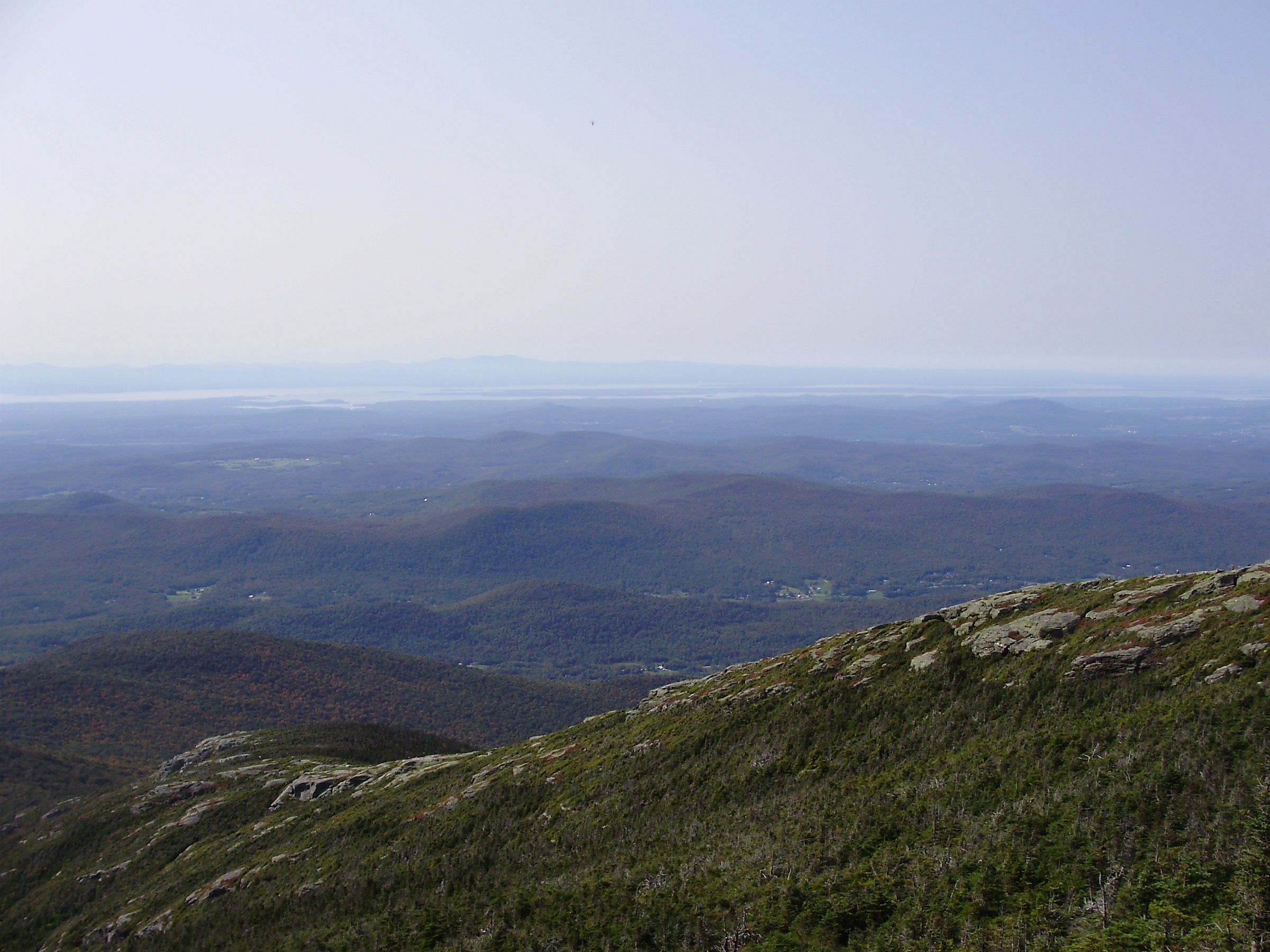
From the upper trailhead in Underhill State Park (drive-in fee applies when the ranger station is staffed), follow the CCC Road briefly to the Sunset Ridge Trail junction. The trail climbs steadily through spruce-fir forest for about 1.5 km, then breaks onto the open Sunset Ridge — the state’s finest sustained above-treeline traverse, running roughly north-east up the western shoulder of Mansfield with continuous views west to Lake Champlain and the Adirondacks. The ridge climbs about 2.5 km of open rock and cairned tundra to meet the Long Trail near the base of the Chin (the summit of Mount Mansfield); a short final scramble puts the party at the state high point at 1,339 m (4,393 ft), on the anthropomorphic ridge where the summit and forehead (“the Nose,” to the south) form a human profile from certain angles. Descend south briefly on the Long Trail to the Laura Cowles Trail junction and drop west, steeply, back through spruce-fir to the CCC Road and the trailhead. Counter-clockwise (Sunset Ridge up, Laura Cowles down) is the standard direction — the open ridge is best taken uphill with the views ahead, and the Laura Cowles descent, while steep, is a shorter drop through the forest.
Why it is essential
Mount Mansfield is Vermont’s highest peak and the Sunset Ridge is by consensus its finest approach — the longest continuous open ridge in the state, with unobstructed views west across Lake Champlain to the Adirondacks throughout the climb. The summit sits on the Long Trail and gives eastward views to the White Mountains on clear days. The alpine tundra along the ridge is one of the largest and best-preserved arctic-alpine plant communities in Vermont, protected by GMC and Vermont State Parks caretakers who staff the summit ridge in season.
Equipment
- Sturdy boots with grip on wet granite
- Weatherproof shell — the ridge is fully exposed
- Warm insulating layer, hat and gloves for the summit even in July
- 2.5 L water — no reliable source on the upper mountain
- Sun protection for the exposed ridge
- Trekking poles for the Laura Cowles descent
- Map, compass and downloaded Vermont State Parks map
- Microspikes early spring and again from mid-October
- Full winter kit for any November–April attempt
Hazards and notes
- Alpine exposure on the Sunset Ridge; thunderstorms build quickly on hot afternoons
- Stay on rock or cairned tread on the summit ridge — alpine tundra is Vermont’s most fragile plant community
- Underhill State Park charges a day-use fee when the ranger station is staffed
- Upper parking lot fills before 08:00 on peak weekends; overflow is at the lower lot with an additional 2 km road walk
- Cell coverage patchy on the ridge, absent below treeline
- Mud season closures on lower trails: check greenmountainclub.org before travel in April and early May
GPX / KML links
| Source | URL | Format | Notes |
|---|---|---|---|
| Vermont State Parks — Underhill | vtstateparks.com | Official park page | Access, fees, hours |
| Green Mountain Club — Mount Mansfield | greenmountainclub.org | Official trail organisation | Long Trail context |
| Vermont State Parks — Mount Mansfield State Forest | fpr.vermont.gov | Vermont FPR page | Alpine zone regulations |
Sources
2. Camel’s Hump via the Burrows Trail
Snapshot
Itinerary
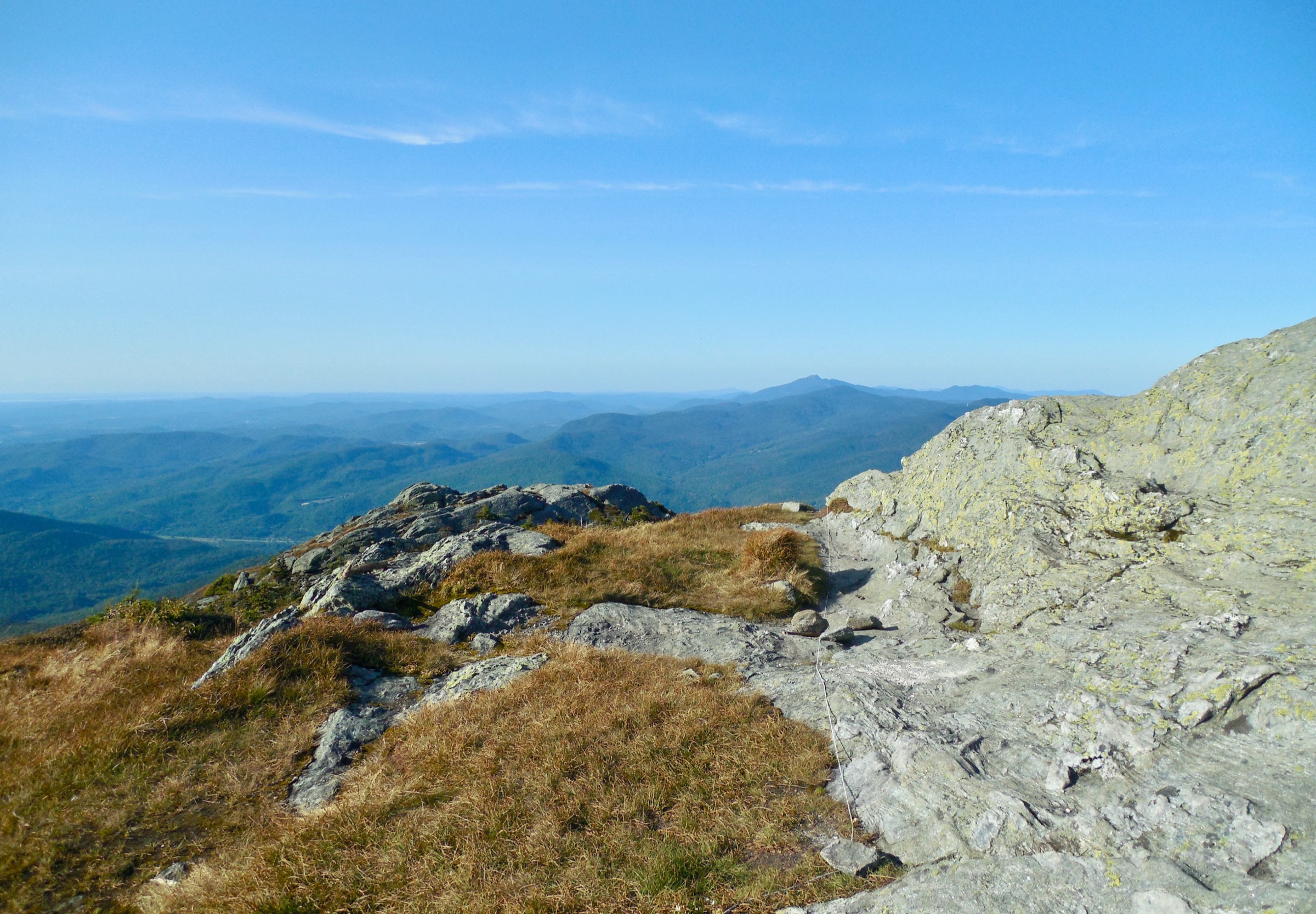
From the Burrows Trail trailhead at the end of Camel’s Hump Road, the trail climbs steadily through hardwood then spruce-fir forest for about 3.4 km to the Long Trail junction just west of the summit dome. Turn south (right) onto the Long Trail and continue about 300 m across open rock and alpine tundra to the summit of Camel’s Hump at 1,244 m (4,083 ft). The summit is a small, exposed rocky dome with 360-degree views: Lake Champlain and the Adirondacks to the west, the White Mountains east across the Connecticut River valley on clear days, and the spine of the Green Mountains running north to Mansfield and south to Ellen and Abraham. Return by the same route; parties with two vehicles can descend south on the Long Trail to the Monroe Trail on the east side, but the Burrows out-and-back is the standard day. Do not stray off marked tread near the summit — the alpine tundra communities on the dome are the most closely monitored in Vermont, with volunteer caretakers stationed at the summit through the main season.
Why it is essential
Camel’s Hump is Vermont’s most iconic mountain — the state’s third-highest 4,000-footer and the only one without a road, ski lift or communications tower on its summit, giving it a genuine alpine character not shared by Mansfield or Killington. The Burrows Trail is the shortest and most efficient approach to the summit, and the summit dome itself is the most photogenic small alpine environment in the northern Appalachians outside the Presidentials.
Equipment
- Sturdy hiking boots with grip on wet granite
- Weatherproof shell — the summit dome is fully exposed
- Warm insulating layer, hat and gloves for the summit
- 2 L water — no reliable source on the trail
- Sun protection for the summit dome
- Trekking poles helpful for the descent
- Map, compass and downloaded FPR map
- Microspikes for shoulder-season ice near the summit
Hazards and notes
- Above-treeline exposure on the summit dome; storms build fast on hot afternoons
- Stay on marked rock tread on the summit — the alpine tundra takes decades to recover
- Trailhead lot fills before 09:00 on peak summer and autumn weekends
- No fee at the Burrows trailhead; standard state park rules apply
- Cell coverage patchy at the summit, absent on the trail
- Mud season restrictions: check greenmountainclub.org and Vermont FPR for current trail status in April and early May
GPX / KML links
| Source | URL | Format | Notes |
|---|---|---|---|
| Vermont FPR — Camel’s Hump State Park | fpr.vermont.gov | Official park page | Access and alpine zone rules |
| Green Mountain Club — Long Trail | greenmountainclub.org | Official trail organisation | Long Trail context |
| Hiking Project — Camel’s Hump | hikingproject.com | Third-party route database | Waypoints and profile |
Sources
3. Killington Peak via the Bucklin Trail
Snapshot
Itinerary
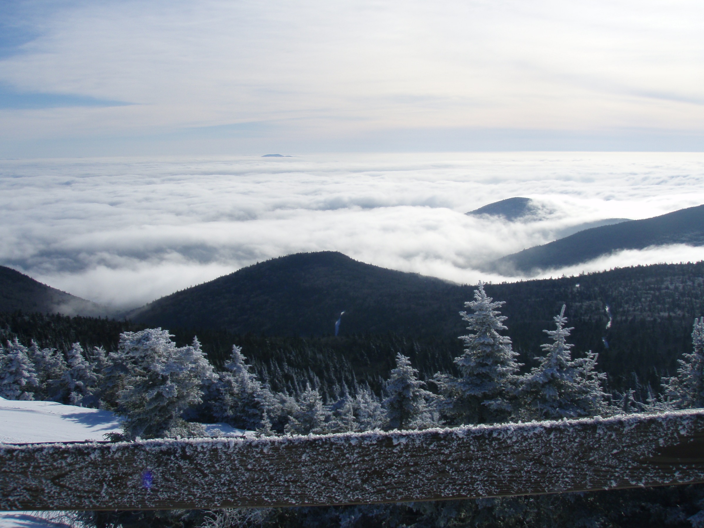
From the Bucklin Trailhead on Wheelerville Road, the trail follows Brewers Brook east through hardwood forest for the first ~3 km, climbing gently. The trail then steepens, crosses a couple of small tributaries, and reaches the Long Trail / Appalachian Trail junction at about 4.8 km — Cooper Lodge, a stone-and-frame GMC shelter maintained since 1939, sits at this junction at 1,190 m (3,900 ft). From Cooper Lodge, follow the signed spur trail north-east for a short but steep 0.3 km to the summit of Killington Peak at 1,289 m (4,229 ft) — a rocky top shared with the upper terminal of the K1 Gondola and the top of the ski resort’s alpine infrastructure. The view from the summit runs south over Rutland to the Taconics, west to the Adirondacks, north along the Long Trail spine to Mansfield, and east across the Connecticut River to the White Mountains. Return by the same route. Killington Peak is the point where the Appalachian Trail diverges east from the Long Trail — the AT continues over Pico and into New Hampshire, while the Long Trail runs north toward Camel’s Hump and Mansfield.
Why it is essential
Killington is Vermont’s second-highest 4,000-footer and the biggest sustained forest climb in the central Greens. The Bucklin Trail is the shortest and most walker-friendly approach, using an old GMC-blazed route that predates the ski area and passes Cooper Lodge — one of the most historically significant GMC shelters on the Long Trail. The summit shares its space with resort infrastructure but the view is unmatched in the central Greens and the AT / Long Trail junction here is a landmark on both trails.
Equipment
- Sturdy hiking boots with grip on wet granite
- Weatherproof shell
- Warm insulating layer, hat and gloves for the summit
- 2.5 L water — treat any stream water
- Sun protection for the summit
- Trekking poles for the descent
- Map, compass and downloaded GMNF / GMC map
- Microspikes into early June and again from late October
- Full winter kit for any November–April attempt
Hazards and notes
- Summit is exposed and thunderstorm-prone on hot afternoons
- Bucklin Trail crosses several small streams — level rises quickly in wet weather
- Cooper Lodge is a first-come, first-served GMC shelter — no reservations
- Trailhead lot is on state forest land — no fee, but capacity is limited
- Cell coverage patchy on the summit, absent on the trail
- Ski resort infrastructure operates on the summit — the K1 Gondola runs summer weekends and expect other visitors at the top
GPX / KML links
| Source | URL | Format | Notes |
|---|---|---|---|
| Green Mountain Club — Long Trail | greenmountainclub.org | Official trail organisation | Long Trail context |
| Vermont FPR — Coolidge State Forest | fpr.vermont.gov | Vermont FPR page | Land access rules |
| Hiking Project — Bucklin Trail | hikingproject.com | Third-party route database | Waypoints and profile |
Sources
4. Mount Abraham via the Long Trail from Lincoln Gap
Snapshot
Itinerary
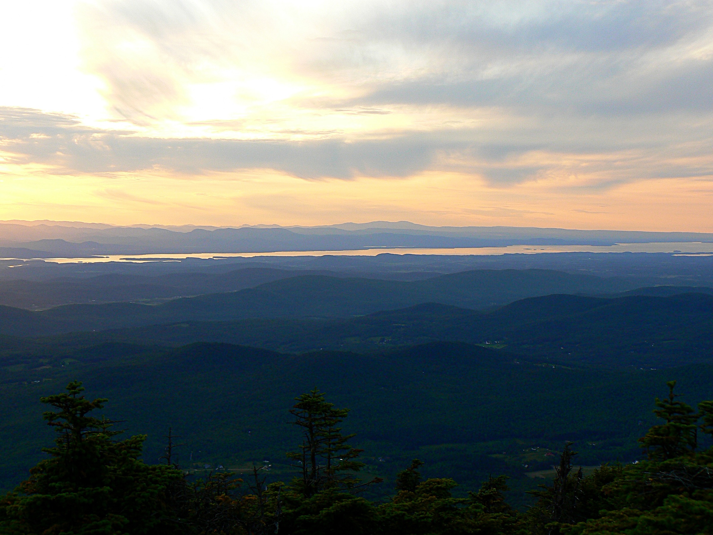
From the Long Trail parking at Lincoln Gap (elevation ~700 m — the highest paved through road in Vermont, closed to vehicles from November to mid-May), follow the Long Trail north through spruce-fir forest. The trail climbs steadily, passing the Battell Trail junction at about 3 km, then continues climbing to reach Battell Shelter at about 3.5 km — a GMC-maintained shelter used mostly by overnight AT / Long Trail thru-hikers. Above the shelter the trail steepens for the final push to the summit of Mount Abraham at 1,224 m (4,016 ft), breaking above treeline for the last few hundred metres onto a small open summit block. The view from the summit runs west to Lake Champlain and the Adirondacks, north along the Lincoln Range to Ellen and Lincoln Peak (with the Sugarbush ski resort visible on the flank), east into the White River valley, and south to the central Greens and Killington. Return by the same route; strong parties can extend the day north over Little Abe, Lincoln Peak and Nancy Hanks Peak on the Long Trail before turning back.
Why it is essential
Mount Abraham is Vermont’s fifth-highest 4,000-footer and the shortest 4,000-footer day-walk in the state — thanks to Lincoln Gap starting the walk at 700 m, the route reaches an alpine summit in a 4-5 hour day with only 550 m of ascent. This is the “big view for modest effort” walk in Vermont and the best introduction to the Long Trail’s northern character for parties with limited time. The summit’s small alpine plant community — protected by GMC caretakers in the main season — is one of only three above-treeline environments in Vermont, alongside Mansfield’s Chin and Camel’s Hump’s dome.
Equipment
- Sturdy hiking boots
- Weatherproof shell — the summit is exposed
- Warm insulating layer, hat and gloves for the summit even in July
- 2 L water
- Sun protection for the summit
- Trekking poles for the descent
- Map, compass and downloaded GMC map
- Microspikes from late October and into early June
Hazards and notes
- Above-treeline exposure on the summit block; thunderstorms build fast on hot afternoons
- Stay on marked rock tread on the summit — alpine tundra is fragile
- Lincoln Gap Road is closed to vehicles from November to mid-May — the road makes an excellent ski / snowshoe approach in winter but adds ~4 km each way
- Long Trail parking at Lincoln Gap fills before 08:00 on peak summer and autumn weekends
- No day-use fee at the Long Trail trailhead
- Cell coverage patchy on the summit, absent on the trail
GPX / KML links
| Source | URL | Format | Notes |
|---|---|---|---|
| Green Mountain Club — Long Trail | greenmountainclub.org | Official trail organisation | Long Trail context |
| USFS — Green Mountain National Forest | fs.usda.gov | Official forest page | Access and land rules |
| Hiking Project — Mount Abraham | hikingproject.com | Third-party route database | Waypoints and profile |
Sources
5. Stowe Pinnacle

Snapshot
Itinerary
From the Stowe Pinnacle trailhead on Pinnacle Road, the trail climbs gently through mixed hardwood forest for the first ~1 km, then steepens as it enters spruce-fir at the ridge base. The next 0.8 km climbs steadily up the west face of the Pinnacle, with a couple of short rock steps on the final approach. The trail breaks out onto the open ledge summit of Stowe Pinnacle at 762 m (2,500 ft) — a small rocky prominence on the western edge of the Worcester Range that gives an unobstructed panorama west across the Stowe valley to the full length of the Mount Mansfield massif, north to the Worcester peaks, and south down the valley toward Waterbury. The summit ledge is broad enough to accommodate a resting party comfortably, and the walk back down takes 45-60 minutes. This is the classic half-day pairing for any longer walk in the Stowe / Waterbury area: quick to reach, big-view reward, no alpine commitment.
Why it is essential
Stowe Pinnacle is the finest low-commitment view in the Green Mountains — the reward for a two-hour walk is the same postcard-perfect Mansfield ridgeline that anchors every Stowe brochure, seen head-on from the Worcester side of the valley. It is the range’s answer to “what walk should we do this afternoon?” — a full-view summit that neither commits the party to a full alpine day nor delivers a lesser experience. It is also the region’s most-recommended sunrise or sunset walk, thanks to its western-facing ledge and short round-trip time.
Equipment
- Standard hiking shoes or boots
- Weatherproof shell
- Warm layer for the summit ledge
- 1.5 L water
- Sun protection on the exposed ledge
- Trekking poles optional
- Map, compass and downloaded FPR map
- Microspikes late October through mid-April on shaded upper switchbacks
Hazards and notes
- Wet rock on the final approach is the dominant hazard — descend particularly carefully after rain
- Summit ledge is small and busy at weekend peak; expect to share the top
- Trailhead lot is on state forest land — no fee, but capacity is limited to about 20 vehicles and it fills before 09:00 on peak weekends
- Cell coverage patchy at the summit, absent on the trail
- Do not scramble off the marked ledge — the drop off the west face is significant
GPX / KML links
| Source | URL | Format | Notes |
|---|---|---|---|
| Vermont FPR — Mount Mansfield State Forest | fpr.vermont.gov | Vermont FPR page | Land access rules |
| Green Mountain Club — Day Hikes | greenmountainclub.org | Official trail organisation | Regional context |
| Hiking Project — Stowe Pinnacle | hikingproject.com | Third-party route database | Waypoints and profile |
Sources
Missing data / follow-up work
- Vermont mud season 2026 closures — the Green Mountain Club and Vermont FPR publish annual updates in April; verify current status of Sunset Ridge (Mansfield), Burrows (Camel’s Hump) and Long Trail sections at Lincoln Gap before travel.
- Underhill State Park 2026 day-use fee — the drive-in fee has been ~US$5 per adult in recent years; verify current rate on vtstateparks.com.
- Lincoln Gap Road opening date 2026 — the road typically opens mid-May and closes in November; specific dates vary with snowpack and are posted by VTrans and Green Mountain National Forest.
- Killington K1 Gondola summer schedule — the resort’s summer / autumn gondola operating dates and hours are set annually and are worth checking if planning a one-way summit descent by lift.
- GMC caretaker season 2026 — GMC caretakers staff the Mansfield, Camel’s Hump and Mount Abraham summit ridges through the main season; specific staffing dates and educational programming schedule are set annually.
- Long Trail through-hike permits — no permits required for day-hikes on the Long Trail, but note that GMC-managed shelters (Cooper Lodge, Battell) are first-come, first-served and popular in high summer.
Further reading
| Source | URL |
|---|---|
| Green Mountain Club (GMC) | greenmountainclub.org |
| USFS — Green Mountain National Forest | fs.usda.gov |
| Vermont State Parks | vtstateparks.com |
| Vermont Department of Forests, Parks and Recreation | fpr.vermont.gov |
| Camel’s Hump State Park | fpr.vermont.gov |
| Underhill State Park | vtstateparks.com |
| Long Trail — Appalachian Trail Conservancy | appalachiantrail.org |
| Stowe Land Trust | stowelandtrust.org |
| Hiking Project — Vermont | hikingproject.com |