Regional overview
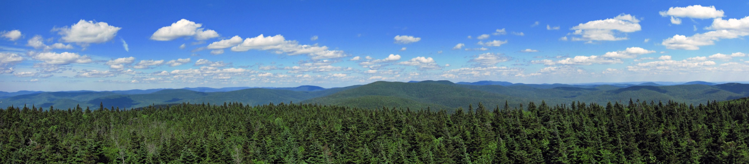
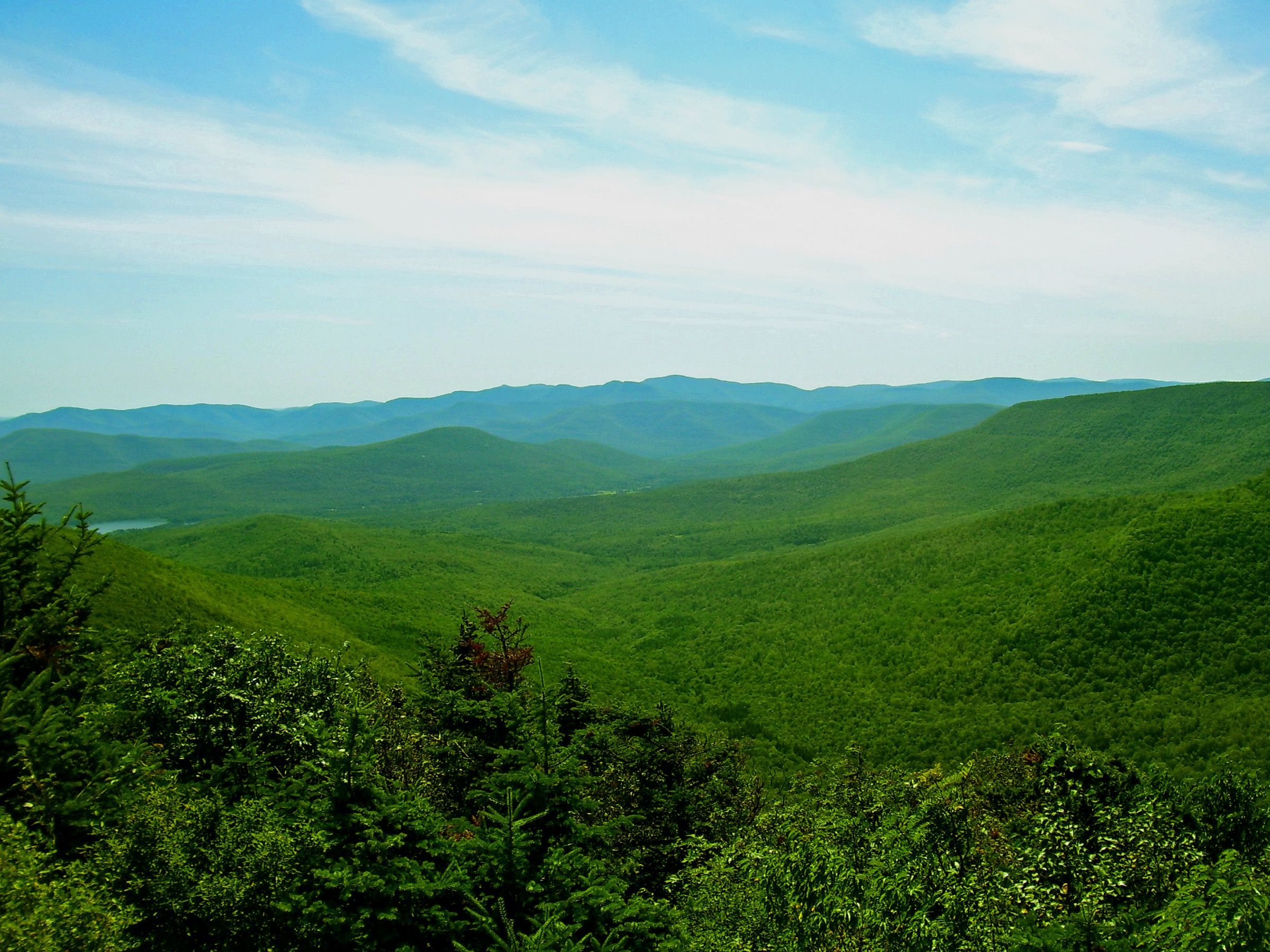
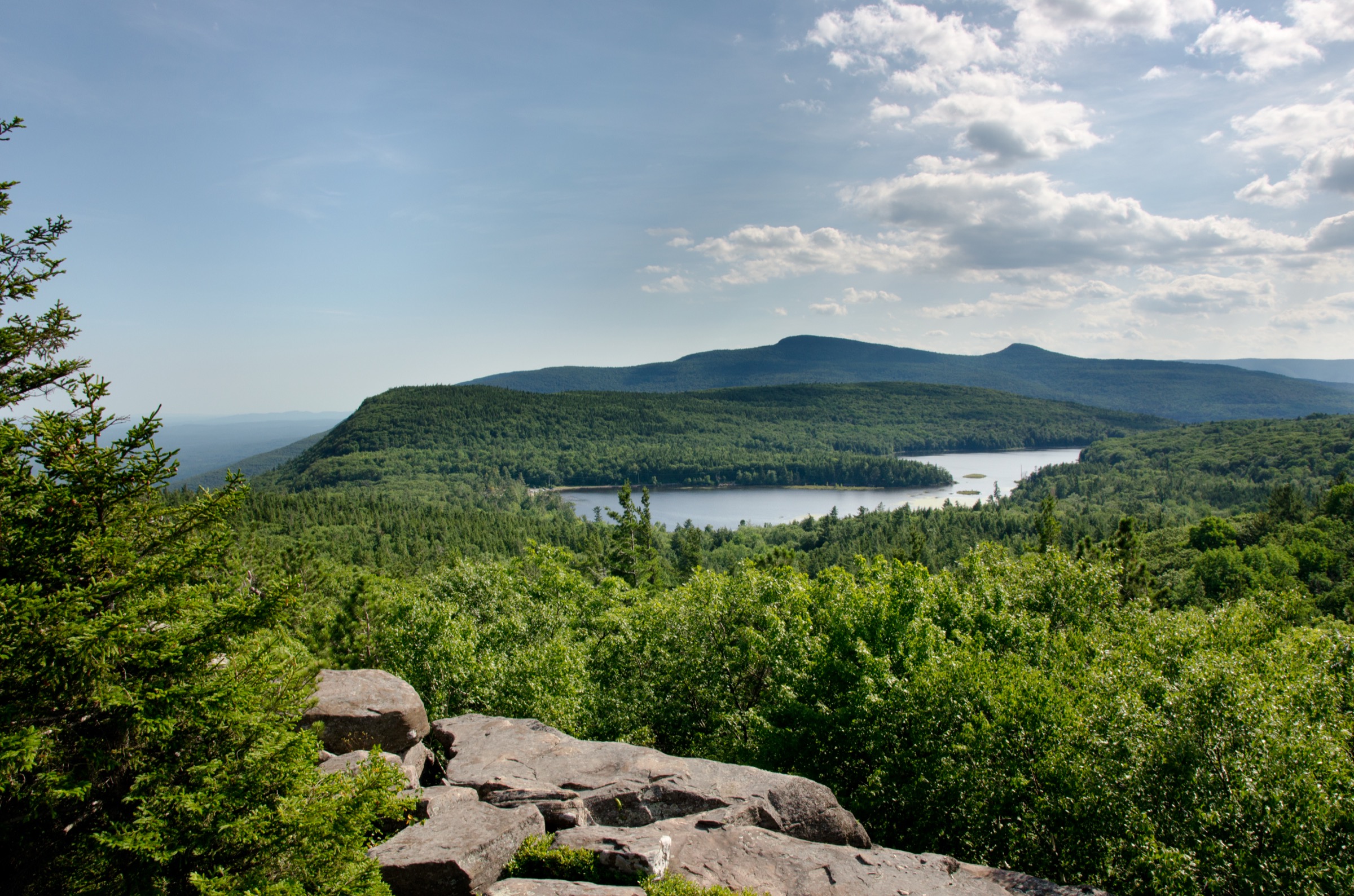
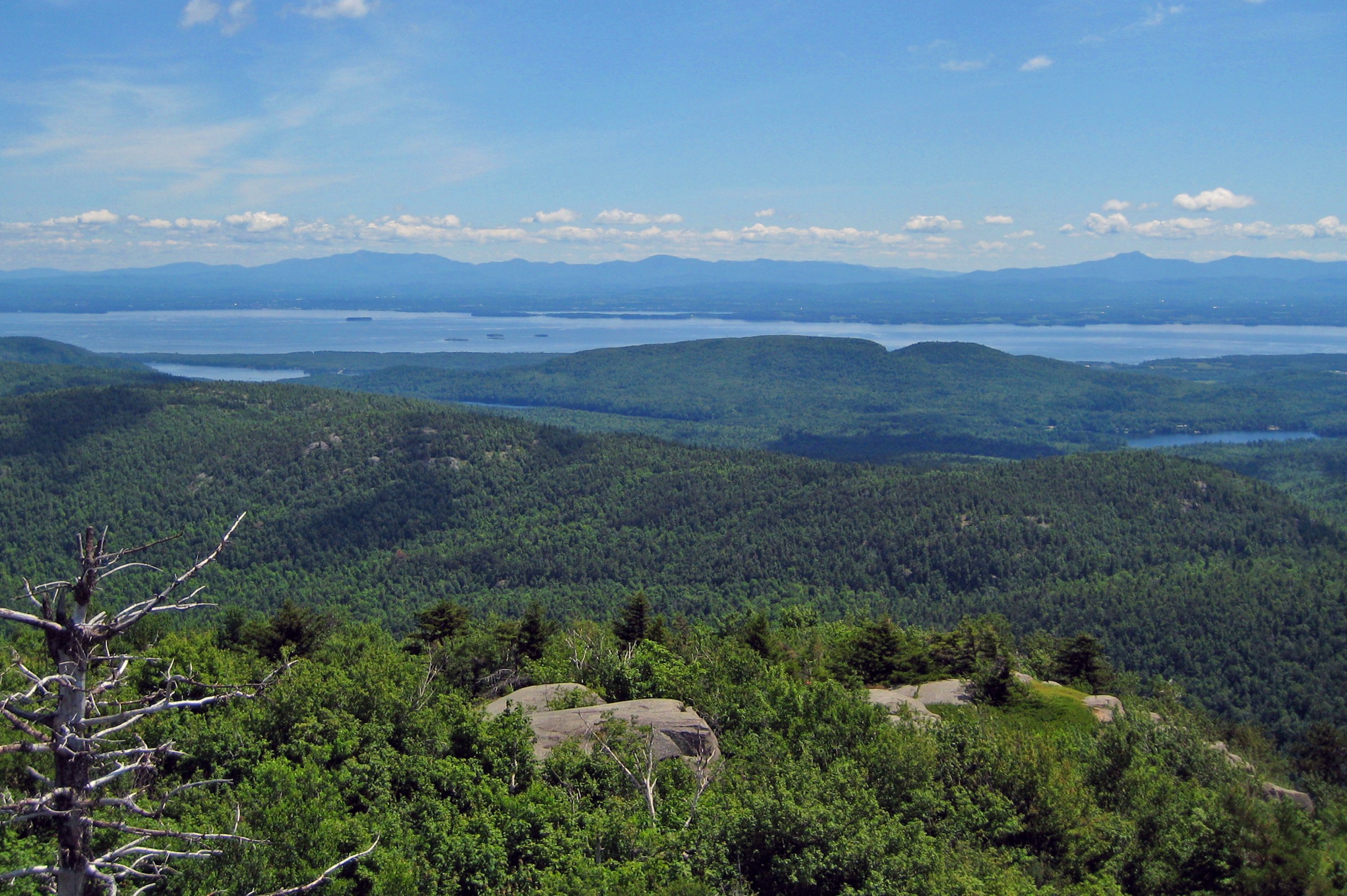
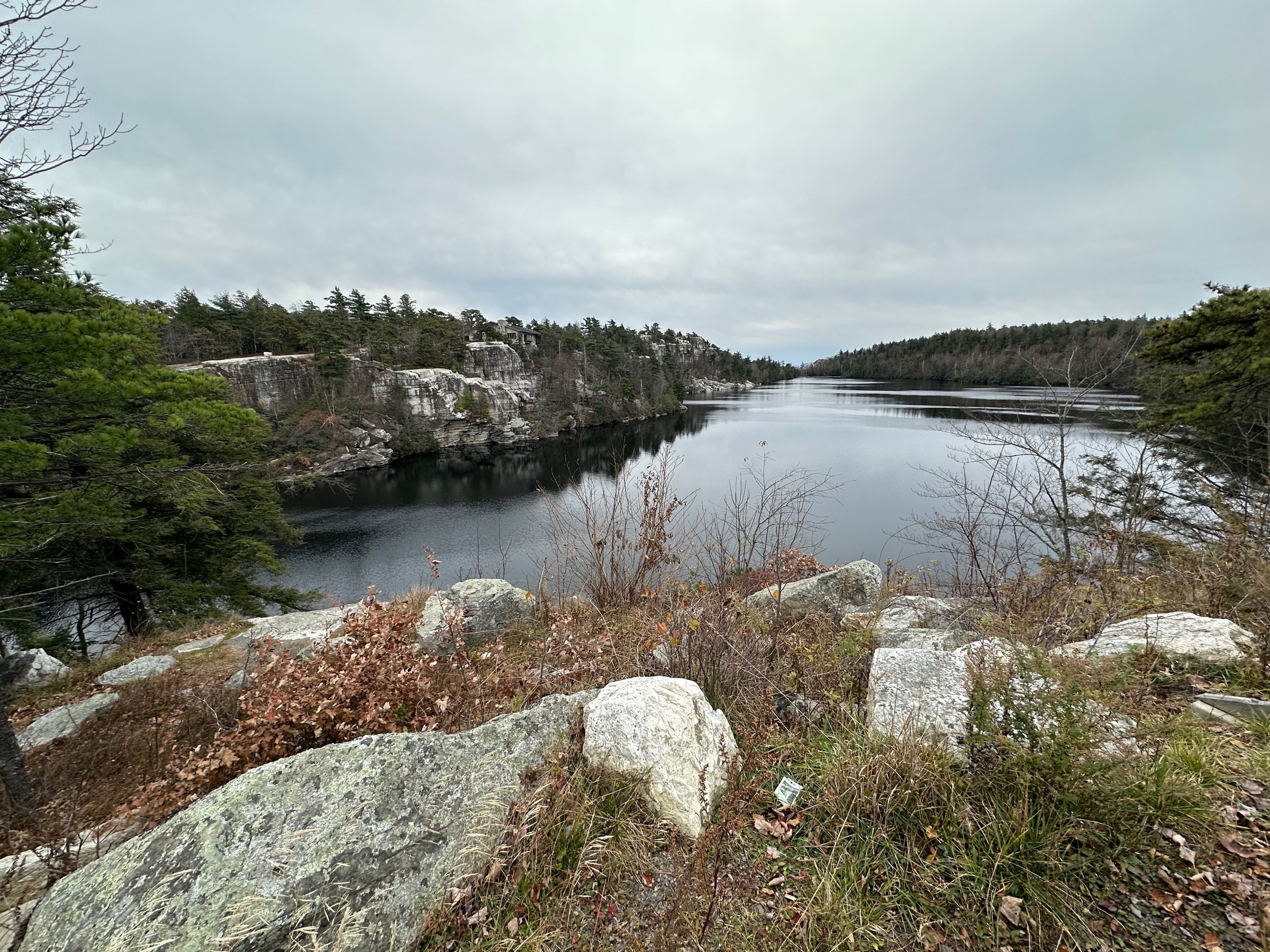
The Shawangunk Ridge — known to climbers and hikers simply as “the Gunks” — is a narrow, near-vertical spine of white quartz-conglomerate cliff running roughly 75 km (about 47 mi) north-east to south-west from the mid-Hudson Valley across Ulster, Sullivan and Orange counties, and continuing south into New Jersey as the Kittatinny Mountain. The ridge is capped by the Silurian-age Shawangunk Formation — a silica-cemented conglomerate of white quartz pebbles that erodes into the pale, blocky escarpments and sheer talus fields that make the Gunks one of the world’s premier traditional rock-climbing venues and one of the most photographed hiking ridges in the north-eastern United States. Its highest point is at Sam’s Point at 2,289 ft (~698 m).
The Gunks are not a wilderness in the Adirondack sense. The ridge crosses three main land-management units, each with its own access rules. Minnewaska State Park Preserve (roughly 24,000 acres managed by NY State OPRHP) covers the central and southern ridge and includes the sky lakes — Minnewaska, Awosting, Mud Pond, Haseco (Maratanza) — plus the Peters Kill and Palmaghatt Ravines. Sam’s Point Area of Minnewaska State Park Preserve is the southern OPRHP unit, formerly the Nature Conservancy’s Sam’s Point Preserve, encompassing the dwarf pitch-pine barrens, the Ellenville Fault Ice Caves and Verkeerder Kill Falls. Mohonk Preserve (about 8,000 acres) covers the northern ridge between the state park and Rosendale, including the Trapps, Bonticou Crag, and access to Sky Top and Lake Mohonk on Mohonk Mountain House land.
Access rules differ. Minnewaska State Park charges a US$10 per-vehicle day-use fee at the main gate. Sam’s Point is also US$10 per vehicle, and from 18 April to 15 November 2026 weekend and holiday parking requires an advance reservation through ReserveAmerica.com or 1-800-777-9644 — reservations run in two windows (9:00–14:00 and 14:00 to close) and can be made up to 14 days ahead. Mohonk Preserve charges a day-use fee of US$15 Monday–Thursday and US$20 Friday–Sunday and holidays for hikers (climbers, bikers and cross-country skiers pay US$25); children 15 and under are free. Sky Top itself sits on Mohonk Mountain House private land — hikers must enter through Mohonk Preserve and follow the connector trails; the resort’s own gatehouse day pass is a separate and considerably more expensive product not required for the Preserve routes. Fees confirmed against 2025–2026 sources; verify before travel.
The practical hiking season is mid-April to mid-November. Cliff-edge trails and slab sections become dangerously icy from December through March; the Ice Caves at Sam’s Point are typically closed through the winter season for safety. Summer thunderstorms build fast over the ridge and lightning risk is real on the exposed cliff walks — Gertrude’s Nose in particular has no meaningful shelter along its finger. Ticks are abundant April through October; the ridge is within the CDC’s high-incidence Lyme corridor. Cell coverage on Minnewaska carriage roads is patchy and on the outer ridge (Gertrude’s Nose, Verkeerderkill) essentially absent. Public transport is limited: Trailways coach service reaches New Paltz from New York City, and from there taxis or the seasonal weekend shuttle service to the state park gate operate on limited days — verify current operating status with the park before travel.
Selection rationale
The five walks below span the four defining experiences of the ridge. Gertrude’s Nose and Millbrook Mountain is the archetypal cliff-edge loop from Lake Minnewaska — the single most iconic Gunks hike and the ridge’s answer to the great cliff walks of the world. Sam’s Point with the Ice Caves and Verkeerderkill Falls is the southern-ridge showpiece: dwarf pine barrens, the fault ice caves, and the highest waterfall in the Shawangunks. Lake Awosting with Rainbow Falls is the classic sky-lake carriage-road loop, the least strenuous of the five. Bonticou Crag with Table Rocks is the region’s signature rock scramble — a short but genuine hands-and-feet climb on Mohonk Preserve land. Sky Top via the Labyrinth and Lemon Squeeze is the northern-ridge classic: the 1923 Albert K. Smiley Memorial Tower reached on foot through the fissure-and-ladder route above Lake Mohonk. Millbrook Mountain via the Coxing valley and the Shawangunk Ridge Trail through-hike sections are noted in the follow-up rather than as stand-alone essentials.
Summary table
| # | Hike | Country | Route type | Distance | Gain | Max elevation | Difficulty |
|---|---|---|---|---|---|---|---|
| 1 | Gertrude’s Nose and Millbrook Mountain loop | USA | Loop | ~11.3 km (~7.0 mi) | ~410 m | ~490 m | Moderate–strenuous |
| 2 | Sam’s Point, Ice Caves and Verkeerderkill Falls | USA | Loop | ~11.3 km (~7.0 mi) | ~320 m | 698 m | Strenuous |
| 3 | Lake Awosting and Rainbow Falls loop | USA | Loop | ~14.3 km (~8.9 mi) | ~210 m | ~570 m | Moderate |
| 4 | Bonticou Crag and Table Rocks loop | USA | Loop | ~8.2 km (~5.1 mi) | ~315 m | 364 m | Moderate; scramble section rated hard |
| 5 | Sky Top via the Labyrinth and Lemon Squeeze | USA | Loop | ~10.5 km (~6.5 mi) | ~380 m | 470 m | Moderate–strenuous |
1. Gertrude’s Nose and Millbrook Mountain loop
Snapshot
Itinerary
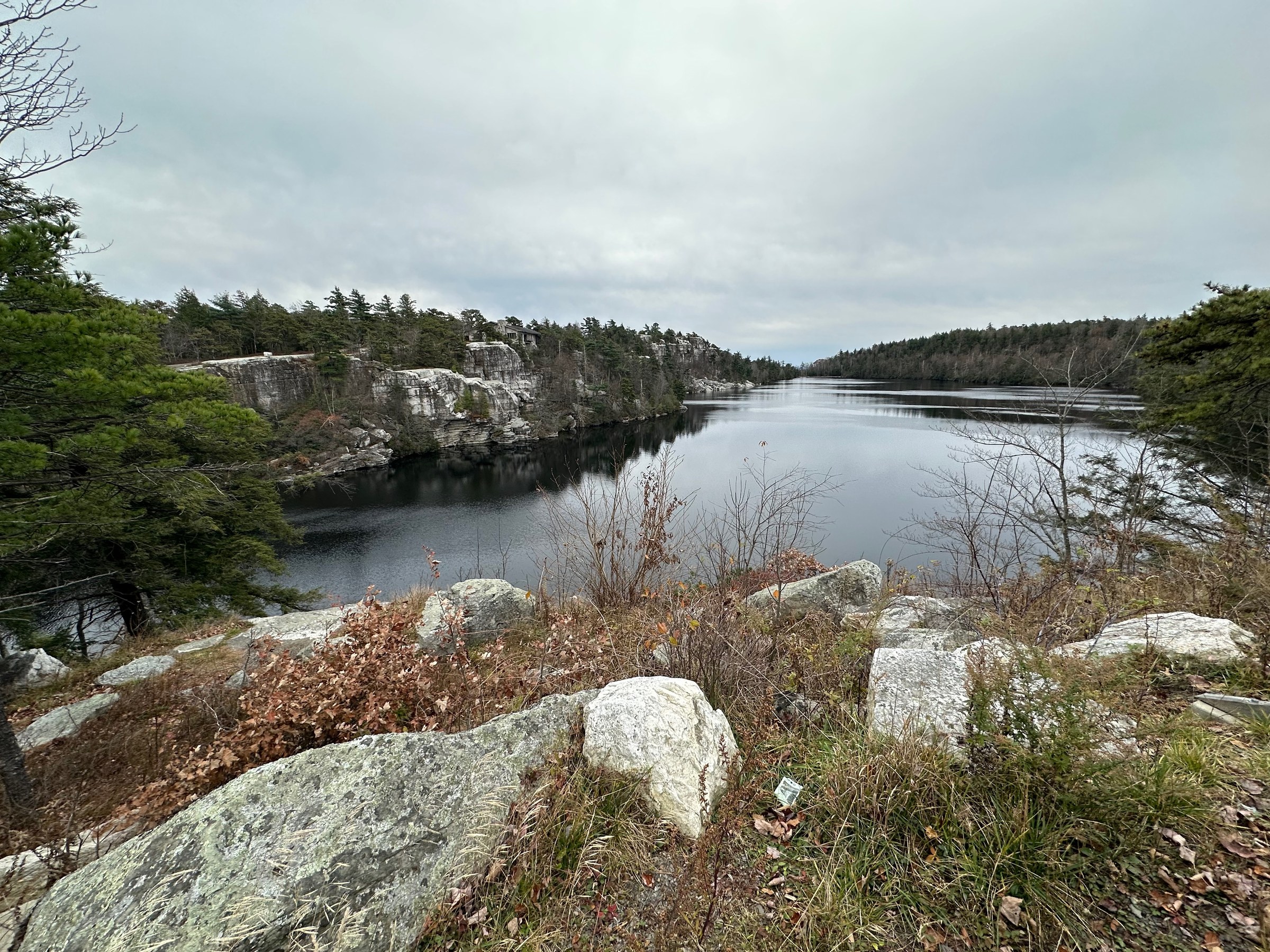
From the Lake Minnewaska visitor lot, take the red-blazed Millbrook Mountain Trail south from the lake’s south-east corner. The trail contours along the eastern cliffs of Minnewaska for about 500 m and then breaks south along the ridge crest through open pitch pine and bear oak. Cliff-edge sections appear immediately: to the east, the whole Wallkill Valley opens toward the Hudson Highlands. At about 2.4 km the trail passes the Coxing Kill / Bruderhof valley view and continues on bare rock ledges toward Millbrook Mountain summit at roughly 3.5 km — a broad open outcrop with the day’s biggest single view east across the valley.
From Millbrook Mountain the yellow-blazed Gertrude’s Nose Trail turns west and traces the top of the Palmaghatt Ravine cliffline, weaving in and out of pine krummholz along the very lip of the escarpment. Sheer drops of one hundred metres or more sit directly beside the trail; the section is famously exposed and famously photogenic, with continuous views over Palmaghatt Ravine to Castle Point and Lake Awosting. At about 5.5 km the trail reaches the tip of Gertrude’s Nose itself — a wedge of broken cliff face jutting south from the ridge, its edge continuing to crumble year on year with freeze–thaw. Beyond Gertrude’s Nose the trail curves north across open slabs, passes Patterson’s Pellet — a glacial erratic perched on the cliff — and joins the Millbrook Mountain Carriage Road, which returns to the Lake Minnewaska lot on easy graded surface.
Why it is essential
Gertrude’s Nose is the Shawangunks’ signature cliff walk and, along with the Adirondacks’ Great Range and the Catskills’ Escarpment Trail, one of the three defining ridge walks of New York State. Nowhere else in the north-eastern US does the trail hold to a knife-edge of white conglomerate for so long with so little canopy — the entire outer arc is essentially open pavement. The route also delivers the Gunks’ most complete geological cross-section: quartz pebbles clearly visible in the cap rock, glacial polish and chatter marks on the slabs, and the actively crumbling face at Gertrude’s Nose itself.
Equipment
- Grippy hiking boots or trail shoes — cliff-edge slabs are slick when wet
- Weatherproof shell — no shelter on the outer ridge
- Warm layer for the exposed cliff walk in shoulder season
- 2–3 L water; no reliable source on the ridge
- Sun protection — the whole outer arc is fully exposed
- Trekking poles helpful on the descent
- Map and compass; downloaded state park map PDF
- Microspikes November to April for residual ice on the slabs
Hazards and notes
- Sheer cliff exposure with no railings for several kilometres of the outer arc — do not approach the edge in wind or when wet
- Lightning risk on the exposed ridge is real; turn back before Gertrude’s Nose if storms threaten
- Slab and cliff-top rock is slick after rain and dangerously so when frozen
- No water on the outer ridge — carry everything you need
- Ticks abundant April to October — check thoroughly at the end of the day
- Cell coverage is absent on the outer ridge
- Minnewaska State Park gate fee US$10/vehicle; parking fills by 10:00 on peak weekends
GPX / KML links
| Source | URL | Format | Notes |
|---|---|---|---|
| NY-NJ Trail Conference — Gertrude’s Nose Loop / Millbrook Mountain | nynjtc.org | Official trail description | Canonical route description; no direct GPX download |
| NY State Parks — Minnewaska trail map (PDF) | parks.ny.gov | Official park map | Full-park trail map including Gertrude’s Nose loop |
| AllTrails — Gertrude’s Nose and Millbrook Mountain Loop | alltrails.com | Third-party track | Do not redistribute AllTrails GPX without licence confirmation |
Sources
- NY-NJ Trail Conference — Gertrude’s Nose Loop
- NY State Parks — Minnewaska State Park Preserve
- Hike the Hudson Valley — Minnewaska II: Gertrude’s Nose
2. Sam’s Point, Ice Caves and Verkeerderkill Falls
Snapshot
Itinerary
From the Sam’s Point conservation-centre lot the Loop Road climbs gently through globally rare dwarf pine ridge community — a stunted forest of pitch pine, bear oak and scrub oak growing in cracks in the bare conglomerate. At about 1.9 km a signed spur leads left onto the open rock of Sam’s Point itself: the highest point on the Shawangunk Ridge at 2,289 ft, with an uninterrupted view south along the Kittatinny Ridge into New Jersey and, on clear days, all the way to High Point. Below Sam’s Point sits Lake Maratanza — one of the five Shawangunk sky lakes and the highest of them.
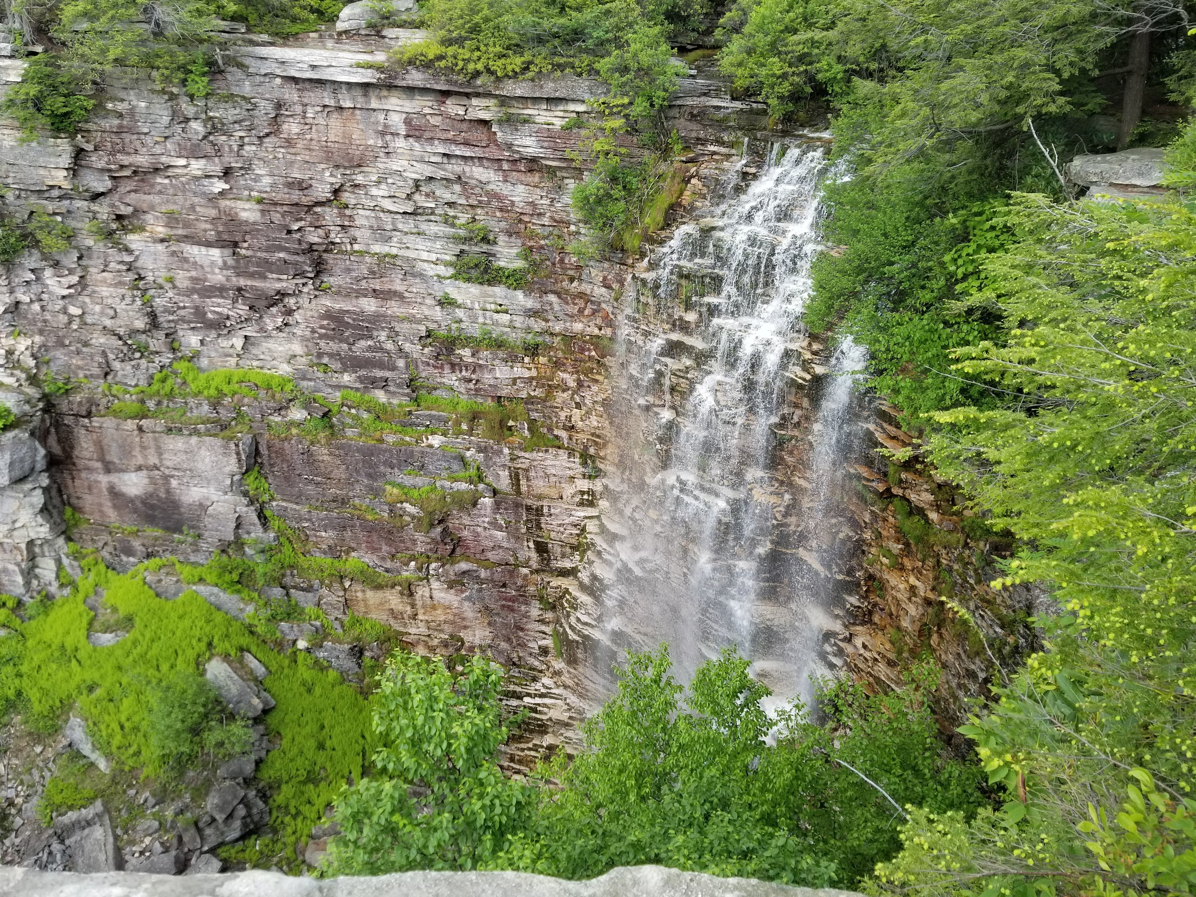
Continuing on the Loop Road, a signed left descends into the Ellenville Fault Ice Caves — a network of talus fissures where ice persists into midsummer. Wooden staircases, a short ladder and a series of catwalks lead through the caves themselves (headtorch recommended even on the sunniest days), emerging back onto the loop road on the far side. The road then continues around the ridge crest to the Verkeerder Kill Falls trail, which breaks east across the pine barrens on the red-blazed Long Path segment. After roughly 2 km through the barrens the trail reaches the top of Verkeerder Kill Falls — a ~57 m (187 ft) plunge, the tallest waterfall on the Shawangunk Ridge. Returning the same way to the Loop Road closes the day back at the lot.
Why it is essential
Sam’s Point is the highest point on the Shawangunk Ridge and — with the Ice Caves and Verkeerderkill Falls — packs three of the ridge’s most distinctive features into a single day. The globally rare dwarf pine barrens are found only on a handful of Appalachian summits in the mid-Atlantic; the Ice Caves are one of very few walk-through talus-cave systems in the north-east that hold subterranean ice into July; and Verkeerderkill is the ridge’s most visited waterfall. The Sam’s Point Area was managed by the Nature Conservancy until 2015 when it transferred to NY State Parks, and much of the trail infrastructure — the Loop Road, the ice-cave catwalks and the falls path — dates from that stewardship era.
Equipment
- Sturdy shoes or boots with grip
- Weatherproof shell
- Warm layer for the exposed summit and the Ice Caves — cave temperatures stay near freezing all summer
- Headtorch mandatory for the Ice Caves
- 2 L water; no reliable source on the ridge
- Sun protection on the open Loop Road
- Trekking poles optional
- Map and compass; downloaded Sam’s Point trail map PDF
- Microspikes not needed in summer but useful early April and late November
Hazards and notes
- Ice Caves are seasonally closed — verify current opening status before travel
- The catwalks and ladder in the Ice Caves are wet and slippery even in dry weather
- Verkeerderkill Falls top is on private property with a right-of-way; stay on the marked trail and back from the lip
- No water on the outer loop; carry all you need
- Ticks abundant in the pine barrens April to October
- Cell coverage is absent on the outer loop
- Sam’s Point gate fee US$10/vehicle; advance parking reservation required weekends and holidays 18 April to 15 November 2026 via ReserveAmerica.com or 1-800-777-9644, up to 14 days ahead
GPX / KML links
| Source | URL | Format | Notes |
|---|---|---|---|
| NY State Parks — Sam’s Point Area | parks.ny.gov | Official page | Trail descriptions and reservation link |
| NY State Parks — Sam’s Point trail map (PDF) | parks.ny.gov | Official park map | Includes Loop Road, Ice Caves, Verkeerderkill spur |
| AllTrails — Sam’s Point, Ice Cave Trail, Verkeerderkill Falls | alltrails.com | Third-party track | Do not redistribute AllTrails GPX without licence confirmation |
Sources
- NY State Parks — Sam’s Point Area
- Hike the Hudson Valley — Sam’s Point
- Scenic Hudson — Ice Caves & Verkeerder Kill Falls
3. Lake Awosting and Rainbow Falls loop
Snapshot
Itinerary
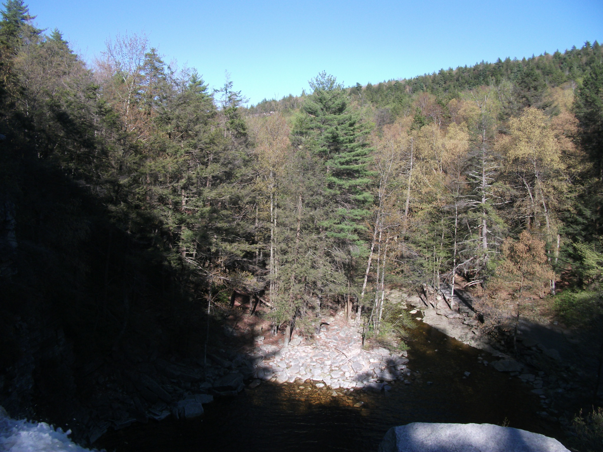
From the Lake Minnewaska visitor lot, drop briefly north to Awosting Falls at 0.6 km — a ~18 m (60 ft) plunge on the Peters Kill just below the car park, one of the most-photographed short waterfalls in the Hudson Valley. Return to the lot and take the Lower Awosting Carriage Road west along the base of the Minnewaska escarpment. The graded surface makes for easy walking through mixed hemlock–hardwood forest with occasional openings toward Litchfield Ledge and the Palmaghatt cliffs to the south.
At about 5 km a signed spur breaks north on rocky footpath to Rainbow Falls — a hanging cascade over a shaded cliff amphitheatre that carries a full flow only in spring and after heavy rain. Rejoining the carriage road, another 1.5 km brings you to the south-east corner of Lake Awosting, the second-largest of the sky lakes and a striking pale-turquoise sheet ringed by conglomerate slabs. The circuit trail around Lake Awosting is worth a partial detour to the swimming beach at the far shore. From the lake, return either directly on the Upper Awosting Carriage Road (shortest, easiest) or via the higher Castle Point Carriageway, which climbs slightly to the Castle Point and Kempton Ledge overlooks with sweeping views south over Palmaghatt Ravine before descending back to Lake Minnewaska.
Why it is essential
Lake Awosting is the archetypal Shawangunk sky lake — a glacially scoured cirque of clear water perched on the conglomerate ridge — and the standard loop is the ridge’s most accessible full-day walk. On graded carriage roads originally engineered by the Smiley family for the resort era, the route is walkable by any fit party, offers three distinct waterfalls (Awosting Falls, Rainbow Falls, and the smaller Sheldon Falls near the lake), and includes a rare swimming opportunity in a sky lake at the Lake Awosting beach when lifeguarded in season.
Equipment
- Trail shoes or hiking boots
- Weatherproof shell
- Warm layer for shoulder-season overlooks
- 2 L water; treat any water taken from streams
- Sun protection on the open carriage road
- Trekking poles optional
- Map; downloaded state park map PDF
- Swim kit in summer if planning to use the Lake Awosting beach (staffed schedule varies)
Hazards and notes
- Rainbow Falls flow is highly seasonal — dry in mid-summer, spectacular in April and after storms
- Slabs above Rainbow Falls are slick when wet
- No lifeguards outside posted hours at Lake Awosting; swimming when unstaffed is not permitted
- Ticks abundant April to October on the shore trails
- Cell coverage is patchy along the carriage roads and absent at the far shore of Lake Awosting
- Minnewaska State Park gate fee US$10/vehicle; parking fills by 10:00 on peak weekends
GPX / KML links
| Source | URL | Format | Notes |
|---|---|---|---|
| NY State Parks — Minnewaska trail map (PDF) | parks.ny.gov | Official park map | Full-park carriage-road and trail map |
| NY-NJ Trail Conference — Hike Minnewaska | nynjtc.org | Official trail-conference page | Route summaries for the sky-lake circuits |
| AllTrails — Upper Awosting, Lake Awosting and Castle Point Loop | alltrails.com | Third-party track | Do not redistribute AllTrails GPX without licence confirmation |
Sources
- NY State Parks — Minnewaska State Park Preserve
- NY-NJ Trail Conference — Hike Minnewaska
- NY Falls — Awosting Falls waterfall guide
4. Bonticou Crag and Table Rocks loop
Snapshot
Itinerary
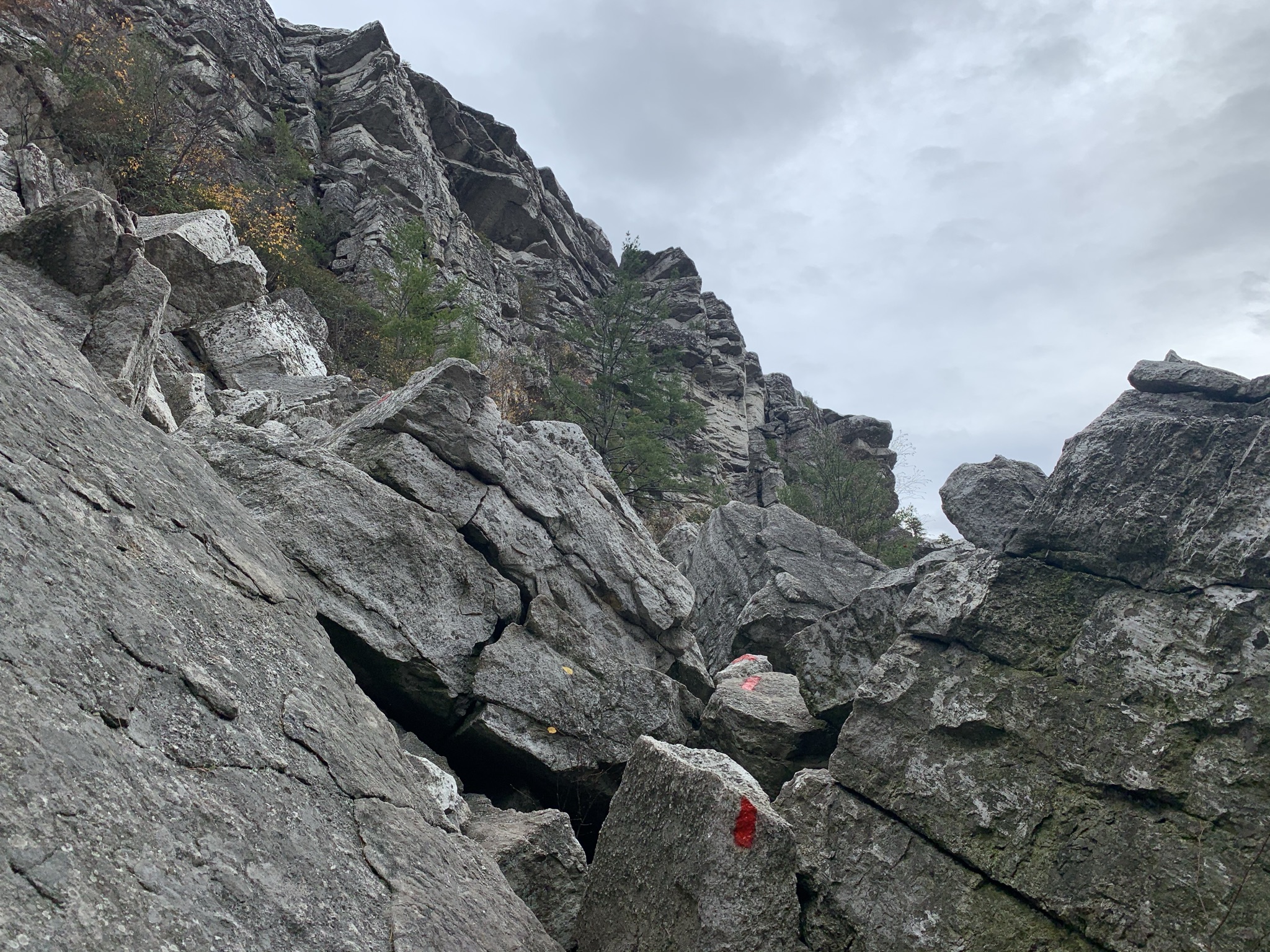
From the Spring Farm Trailhead a signed connector joins Table Rocks Trail east, climbing gently through open pasture and mixed hardwoods with early views west to the Catskills. The trail turns south onto Cedar Trail and then joins the Bonticou Path, arriving at the base of the Bonticou Scramble at about 2.3 km. From here the standard route is the scramble itself — a broken, near-vertical talus staircase set with fixed rock steps in the trickier sections, climbing about 60 m to the top of the crag in roughly 150 m of horizontal distance. Hands are needed continuously; a short section near the top is genuinely exposed. Parties uncomfortable with the scramble can bypass via the Northeast Trail, which reaches the top on a graded footpath.
The summit is a broad open crag of white conglomerate with a nearly 180-degree view — the whole northern Shawangunks and the Catskills to the north-west across the Rondout Valley, and the Wallkill Valley and Hudson Highlands east. From the top, the Northeast Trail descends north-east back toward Spring Farm and passes Table Rocks — a set of open bedrock outcrops with a different view sector including the Ashokan Reservoir and the Devil’s Path on clear days — before closing the loop at the trailhead.
Why it is essential
Bonticou Crag is the Shawangunks’ signature scramble and one of the finest short scrambles in the north-east — a genuine hands-and-feet route on real rock, short enough to serve as a first-time introduction to scrambling but exposed enough to feel like a mountain move. The summit view is disproportionate to the crag’s modest elevation (364 m / 1,194 ft): the crag stands as a white promontory well above the surrounding farmland, so the panorama runs unobstructed to the Catskill escarpment. The full loop with Table Rocks makes a compact half-day that captures the Mohonk Preserve’s character — pasture, hardwood, cliff-top pine barrens and scramble — in a single circuit.
Equipment
- Grippy hiking boots — smooth-soled trainers slip on the scramble
- Weatherproof shell
- Warm layer for the summit
- 2 L water
- Sun protection on the exposed summit
- Trekking poles are a hindrance on the scramble; stow them at the base
- Map; Mohonk Preserve trailhead map PDF
- Do not attempt the scramble in wet or icy conditions — use the Northeast Trail bypass
Hazards and notes
- The scramble is Class 3 and genuinely committing in one short section near the top; parties uncomfortable at heights should bypass via the Northeast Trail
- Rock is dangerously slick when wet or icy — the scramble should not be attempted in those conditions
- Loose stones can be dislodged on the scramble; do not climb directly beneath other parties
- Cell coverage is patchy on the summit
- Ticks abundant April to October
- Mohonk Preserve day pass required: US$15 Mon–Thu / US$20 Fri–Sun and holidays for hikers (2025–2026 rates); children 15 and under free
- Spring Farm parking is limited; on peak weekends arrive before 08:30
GPX / KML links
| Source | URL | Format | Notes |
|---|---|---|---|
| Mohonk Preserve — Spring Farm suggested hike (Skytop map with Bonticou context) | mohonkpreserve.org | Official trailhead PDF | Spring Farm trailhead reference |
| Mohonk Preserve — Trailheads and access | mohonkpreserve.org | Official page | Access rules, day-pass information |
| AllTrails — Bonticou Crag Trail | alltrails.com | Third-party track | Do not redistribute AllTrails GPX without licence confirmation |
Sources
- Mohonk Preserve — Plan Your Visit
- Hike the Hudson Valley — Bonticou Crag and Table Rocks
- Scenic Hudson — Bonticou Crag
5. Sky Top via the Labyrinth and Lemon Squeeze
Snapshot
Itinerary
From the West Trapps Trailhead on US-44/NY-55, the West Trapps Connector Trail climbs briefly to Undercliff Road — a former carriage road running along the base of the Trapps cliffs, arguably the most famous climbing crag in the eastern United States. Turn east and follow Undercliff Road beneath the cliffs for about 2 km, passing the busy climbing sectors and open views back across the Wallkill Valley. Undercliff meets Overcliff at Rhododendron Bridge and continues onto the Mohonk Mountain House carriage-road network.
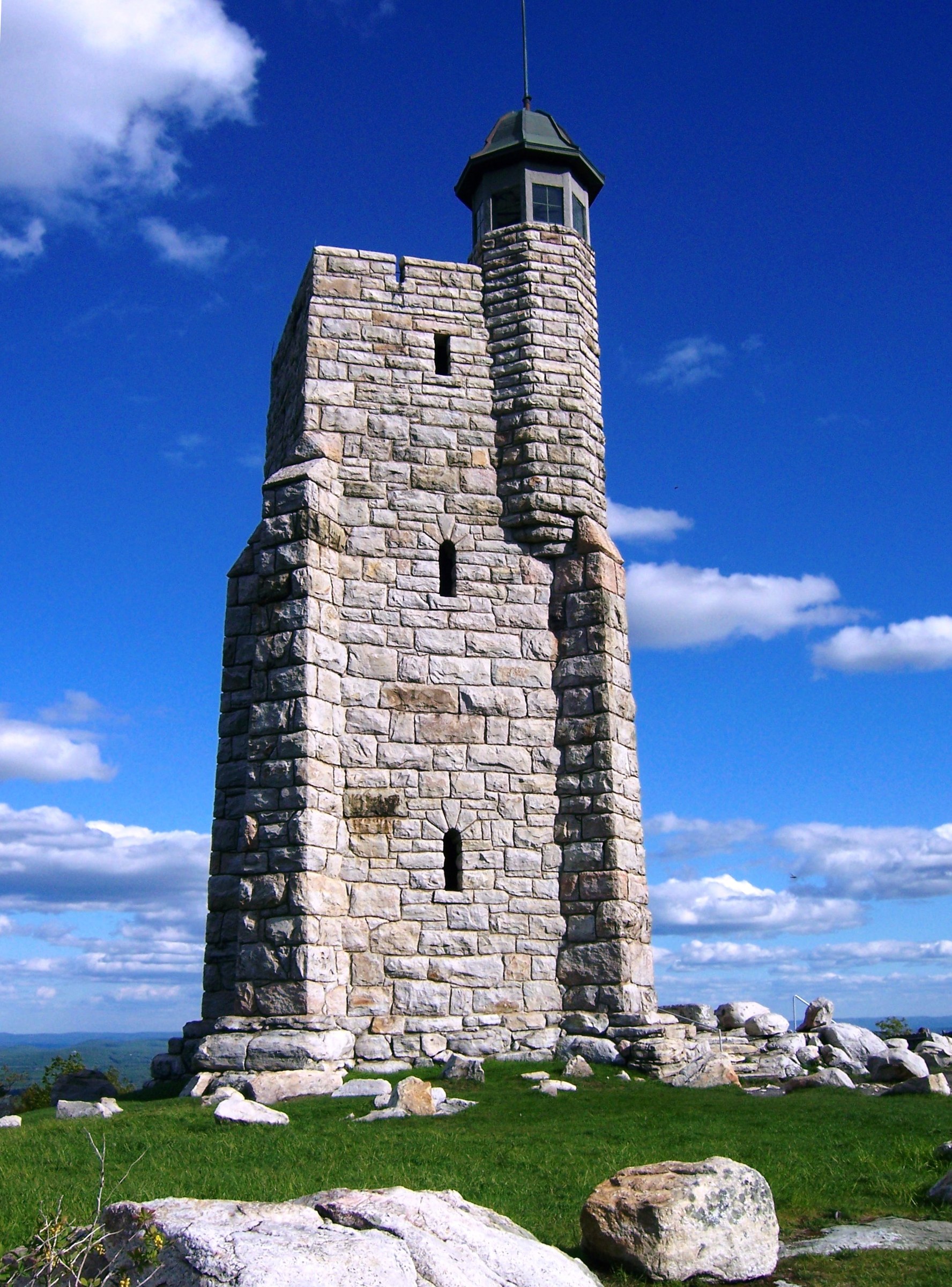
Follow signed carriage roads and footpaths across the Preserve boundary toward Lake Mohonk. The lake — a small glacial tarn set beneath the vertical face of Sky Top — is one of the ridge’s most photographed features and the setting for the resort’s Victorian gazebos. From the north shore, take the Labyrinth Path up through a maze of fissures, boulder rooms and short wooden ladders in the cliff itself, culminating in the Lemon Squeeze — a body-width slot between two rock walls. Above the squeeze, a short climb reaches the summit of Sky Top and the Albert K. Smiley Memorial Tower, a four-storey stone tower completed in 1923 as a memorial to the resort’s founder. From the top of the tower — about 24 m (80 ft) above the summit — the view runs across six states and Lake Mohonk directly below. Descend via Sky Top Road and rejoin the Mohonk carriage road system back to Undercliff and the West Trapps trailhead.
Why it is essential
Sky Top is the northern-ridge landmark of the Shawangunks and, with Sam’s Point in the south and Gertrude’s Nose in the centre, one of the three defining set-pieces of a Gunks visit. The Labyrinth is a genuinely unusual path — no other Hudson Valley walking route puts hikers through the inside of a cliff on ladders and a body-squeeze between boulders — and the 1923 memorial tower is one of the most architecturally distinctive summit structures in the north-eastern US. The route also crosses the base of the Trapps cliffs and passes some of the most historically important climbing routes in the country, giving a strong sense of the Gunks’ dual identity as walking and climbing landscape.
Equipment
- Grippy hiking boots
- Small daypack — the Lemon Squeeze passage is uncomfortable with a large pack
- Weatherproof shell
- Warm layer for the summit
- 2 L water
- Sun protection
- Trekking poles are a hindrance in the Labyrinth; stow before the ascent
- Map; Mohonk Preserve West Trapps suggested-hike PDF
- Cash or card for the tower entry (Mountain House land; verify current access policy)
Hazards and notes
- The Labyrinth and Lemon Squeeze are closed in icy conditions and can be closed after heavy rain; check with the Mountain House gatehouse before starting
- Lemon Squeeze is impassable with a large pack; parties larger than roughly waist-45 cm at the hips should consider the bypass path
- Bypass paths (Sky Top Path from the lake) exist for parties uncomfortable with the ladders
- Cell coverage is patchy in the Labyrinth and at the summit
- Ticks abundant on the lower connector trails April to October
- Mohonk Preserve day pass required for the West Trapps ascent: US$15 Mon–Thu / US$20 Fri–Sun and holidays (2025–2026 rates); children 15 and under free
- Sky Top itself sits on Mohonk Mountain House land — Preserve day pass is sufficient for the Labyrinth and tower, but Mountain House policies can restrict access on peak resort days; verify current status
GPX / KML links
| Source | URL | Format | Notes |
|---|---|---|---|
| Mohonk Preserve — West Trapps to Sky Top suggested hike (PDF) | mohonkpreserve.org | Official trailhead PDF | Canonical West Trapps to Sky Top route |
| Mohonk Preserve — East Trapps Connector to Sky Top (PDF) | mohonkpreserve.org | Official trailhead PDF | Alternative approach from the Visitor Center |
| AllTrails — Sky Top Trail | alltrails.com | Third-party track | Do not redistribute AllTrails GPX without licence confirmation |
Sources
- Mohonk Preserve — Trailheads
- Mohonk Preserve — Plan Your Visit
- Mohonk Mountain House — Day Experience
Missing data / follow-up work
- Millbrook Mountain via Coxing valley — an alternative approach to Millbrook from Mohonk Preserve’s Coxing Trailhead makes a fine long-day linkup with the Gertrude’s Nose cliff walk; distance and gain vary by chosen return, and Mohonk Preserve fees apply on the northern half.
- Shawangunk Ridge Trail (SRT) — the ~113 km (~70 mi) through-trail from High Point, NJ, to Rosendale, NY, has several worthy day-section walks (Wurtsboro Ridge, Cragsmoor to Sam’s Point) that could form a further piece; the NY-NJ Trail Conference maintains the SRT and publishes section descriptions.
- Peters Kill Area — the western OPRHP entrance to Minnewaska hosts the Peters Kill climbing crag and a set of quiet walking loops well suited to autumn foliage days; low-mileage relative to the five above but a useful shoulder-season option.
- Sam’s Point parking reservation 2026 — the exact opening date and reservation policy is subject to change; verify with NY State Parks before travel.
- Sky Top / Mohonk Mountain House access — the resort’s own gatehouse day pass is a separate product (US$105–US$175/day range in 2025–2026 depending on season) that includes lunch and full carriage-road access from the resort side; the Mohonk Preserve day pass is the cheaper and more common way to reach Sky Top for hikers.
- Ice Caves seasonal closure — the Ellenville Fault Ice Caves are closed in winter and can also close during the summer season for wildlife protection or safety; verify current status with Sam’s Point staff before travelling for that specific feature.
- Mohonk Preserve day-use fees 2026 — Preserve fees have historically been reviewed annually; confirm the current rate on mohonkpreserve.org before travel.
Further reading
| Source | URL |
|---|---|
| NY State Parks — Minnewaska State Park Preserve | parks.ny.gov |
| NY State Parks — Sam’s Point Area | parks.ny.gov |
| NY State Parks — Minnewaska trail map (PDF) | parks.ny.gov |
| NY State Parks — Sam’s Point trail map (PDF) | parks.ny.gov |
| Mohonk Preserve | mohonkpreserve.org |
| Mohonk Preserve — Plan Your Visit | mohonkpreserve.org |
| NY-NJ Trail Conference — Hike Minnewaska | nynjtc.org |
| NY-NJ Trail Conference — Gertrude’s Nose Loop | nynjtc.org |
| Scenic Hudson — Shawangunk experiences | scenichudson.org |
| Hike the Hudson Valley — Gunks routes | hikethehudsonvalley.com |
| Palisades Parks Conservancy — Minnewaska and Sam’s Point | palisadesparks.org |
| Wikipedia — Shawangunk Ridge (background) | en.wikipedia.org |