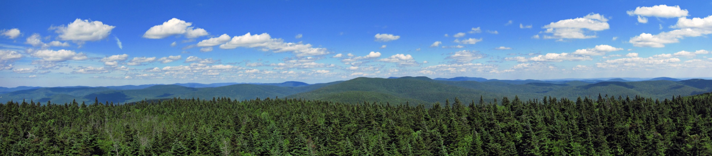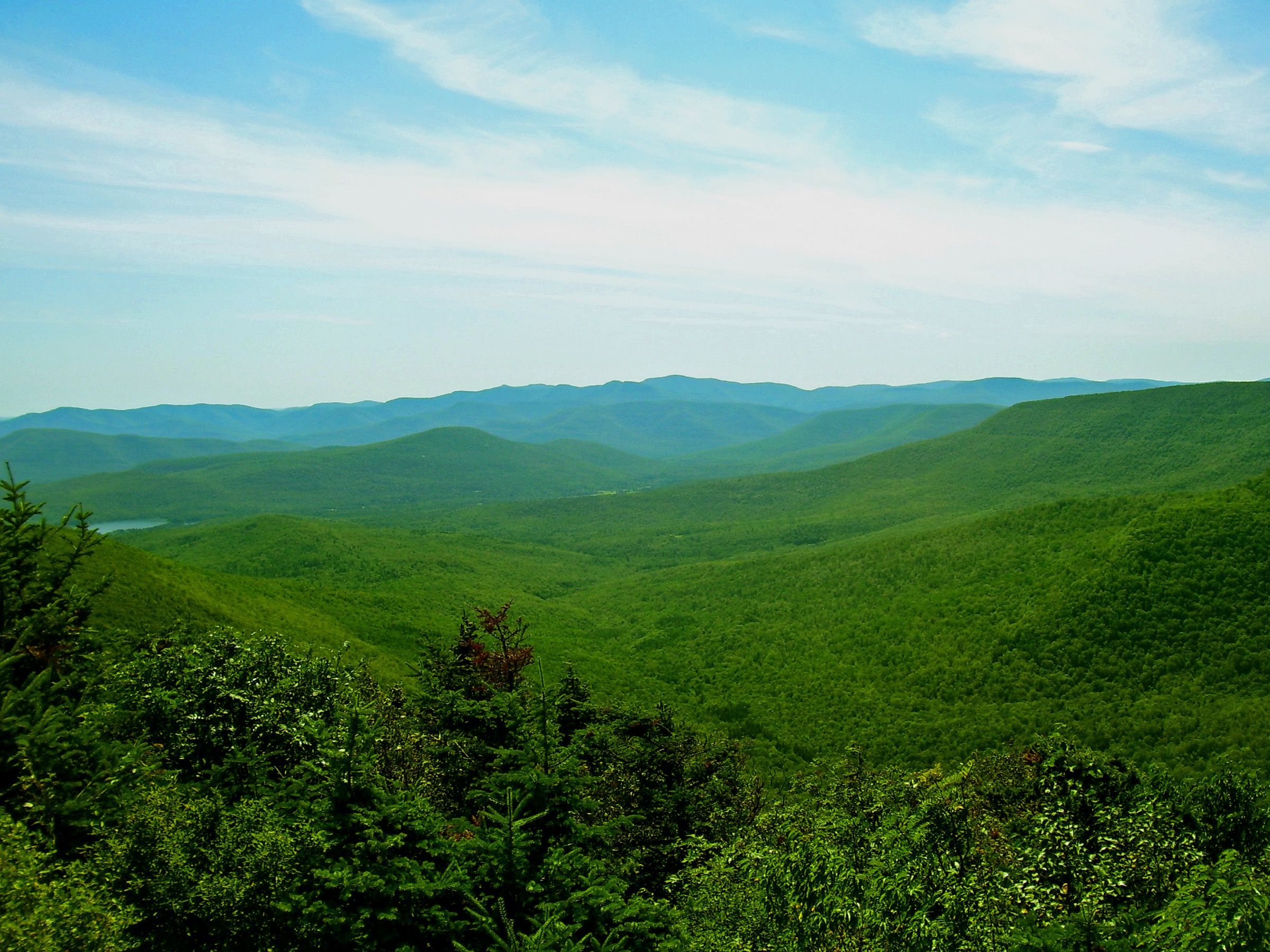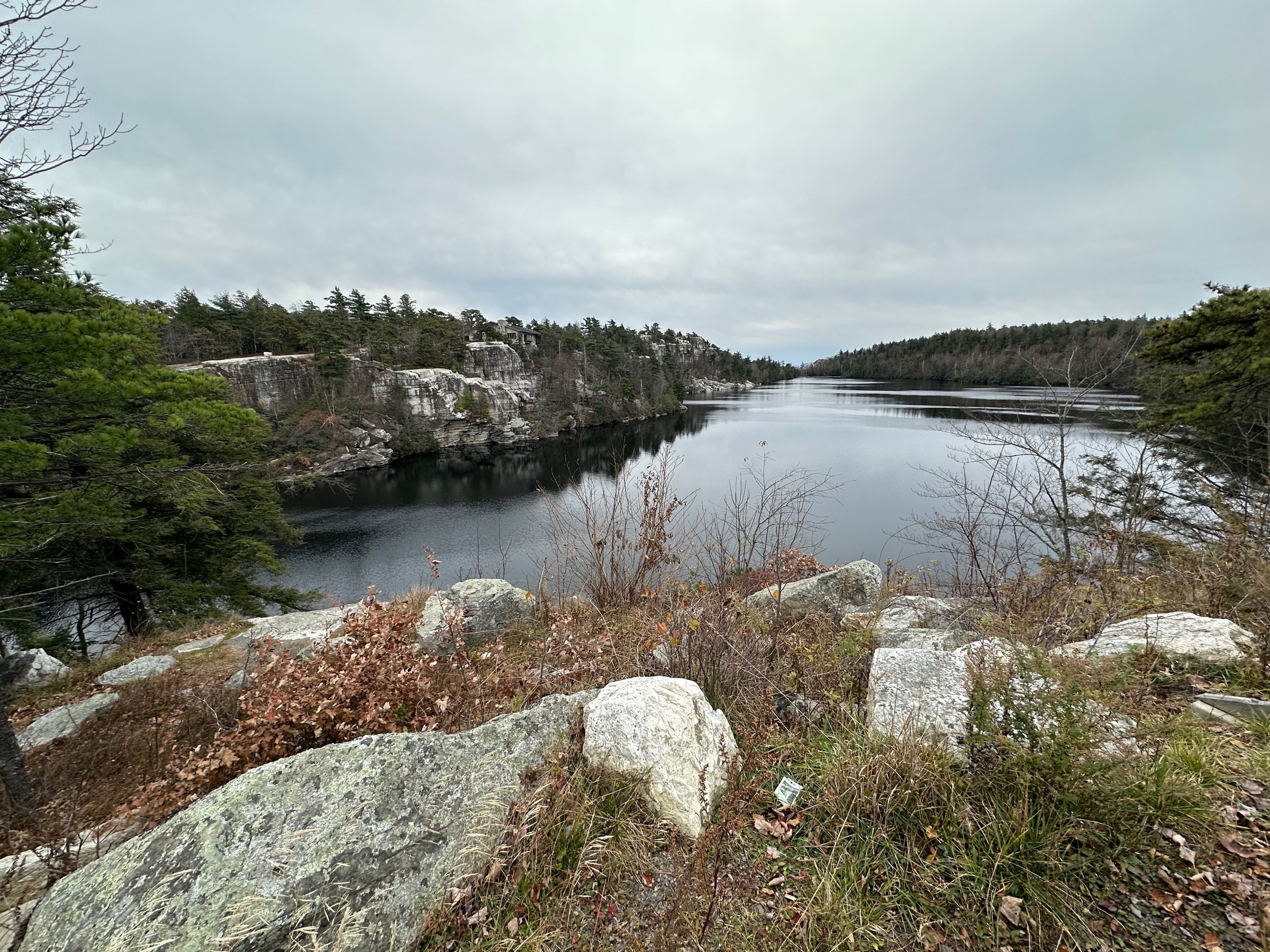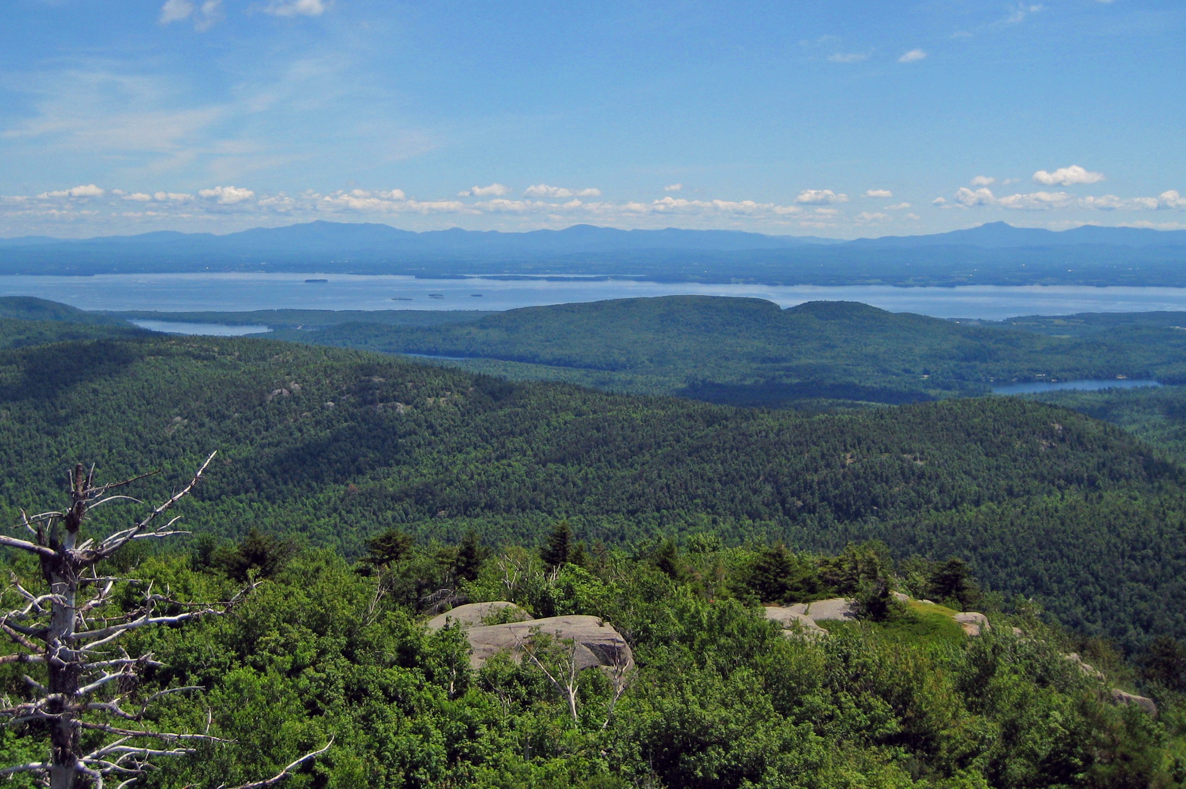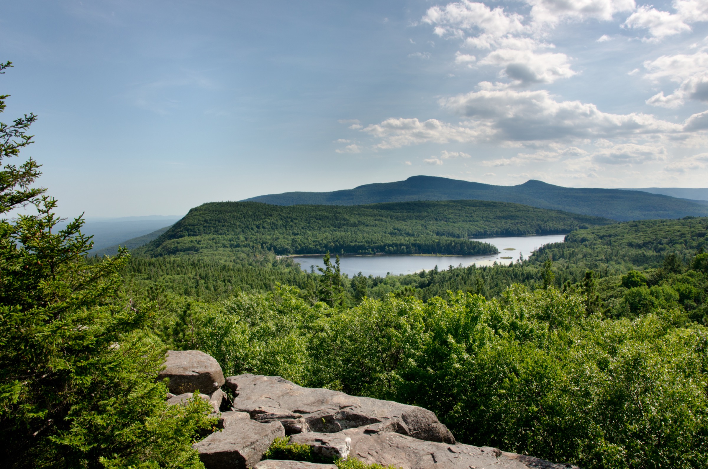
Regional overview
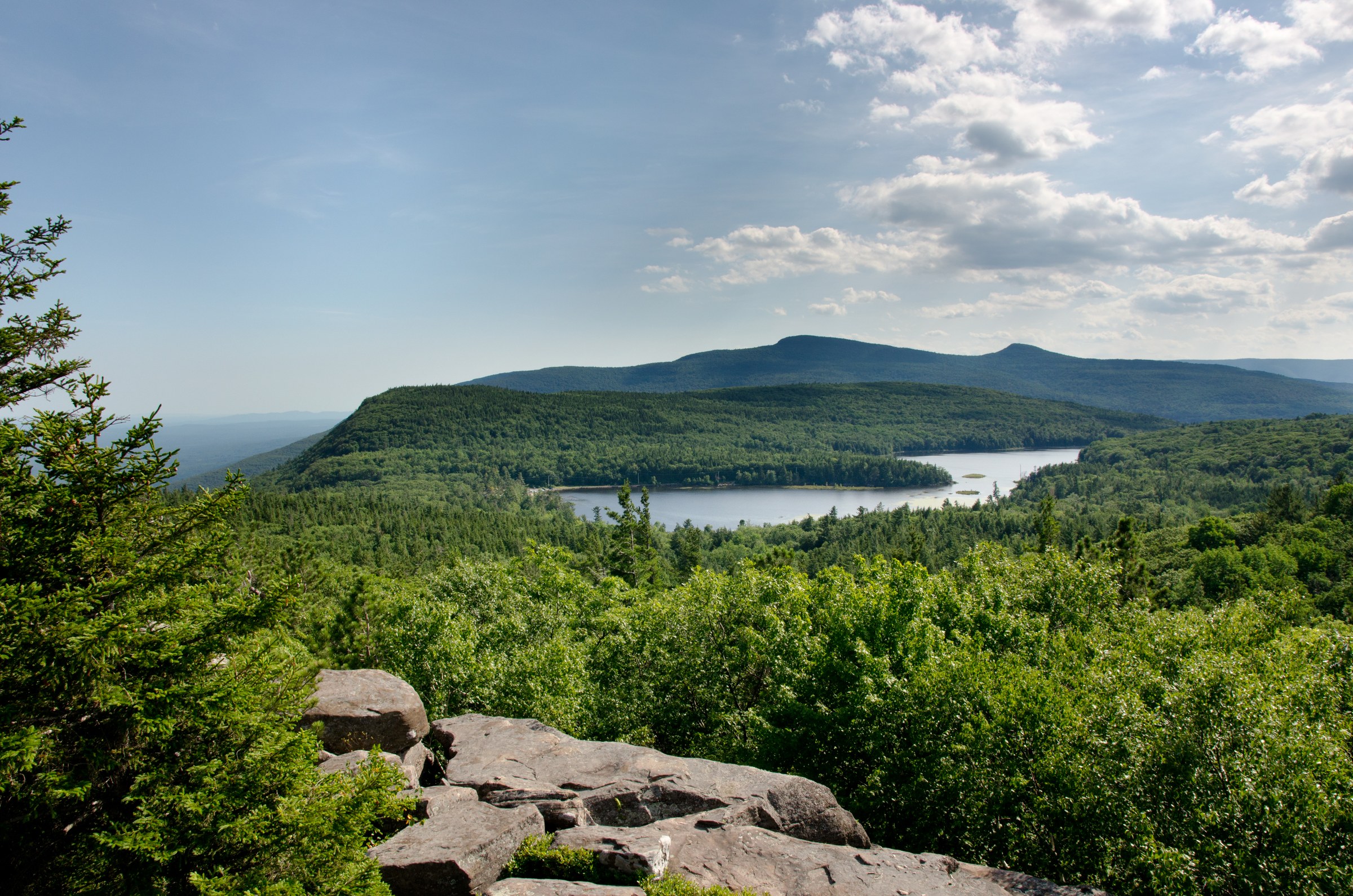
The Catskill Escarpment is the eastern rampart of the Catskill Mountains — a near-vertical wall of Devonian sandstone and conglomerate that drops roughly 700 m (~2,300 ft) from the plateau summits of Blackhead, Stoppel Point and North Point to the Hudson Valley floor at Palenville. The Escarpment Trail, blazed blue by the New York State Department of Environmental Conservation (DEC) and maintained by the NY-NJ Trail Conference, runs approximately 39 km (~24 mi) from Windham High Peak in the north-west to the North-South Lake / Kaaterskill Falls area in the south-east, holding to the cliff edge for most of its length. It is one of the oldest continuously walked recreational trails in the United States, its route effectively laid out by 19th-century tourists walking up from the Catskill Mountain House hotel, whose foundations still sit on the escarpment brow above North Point.
The escarpment is also the birthplace of American landscape painting. Thomas Cole climbed here from Catskill village in 1825, painted the view east across the Hudson from the Kaaterskill Clove rim, and founded what became the Hudson River School. Frederic Edwin Church, Asher Durand and Sanford Gifford all worked the same escarpment ledges — Sunset Rock, Newman’s Ledge, North Point and the falls — through the second half of the 19th century, and the paintings they made from those specific points are among the founding documents of American art. Kaaterskill Falls itself — a two-tier plunge totalling ~79 m (~260 ft), the highest cascade in New York State — is arguably the single most-painted natural feature in early American art.
The main hiking bases are North-South Lake Campground at the end of County Route 18 above Haines Falls (the largest DEC campground in the Catskill Forest Preserve, with the busiest day-use lot in the region), Kaaterskill Falls at the Laurel House Road / Bastion Falls trailheads off NY-23A, Big Hollow / Barnum Road at the head of the Batavia Kill valley for Blackhead and the Black Dome Range, Elm Ridge / Peck Road west of Maplecrest for Windham High Peak, and Meads Mountain Road above Woodstock for Overlook Mountain. Nearly all approaches sit on DEC Forest Preserve land inside the Catskill Park’s Forever Wild blue line; no wilderness permits are required for day walks, but hikers must sign in and out at the trailhead registers.
The practical dry-hike season runs from mid-April, once mud season eases on the lower approaches, through mid-November, when the first heavy frosts arrive and the Catskill Mountain House site becomes exposed and cold. Cliff-edge ledges on the escarpment can hold rime and ice from November into April; the Blackhead upper cone and Windham summit ridge can carry residual snow into May. North-South Lake Campground operates a US$10/vehicle day-use fee in season (verify current 2026 rates with DEC); the Kaaterskill Falls lot on Laurel House Road is free but small and fills fast on peak foliage weekends. Overlook Mountain’s Meads Road trailhead is free.
Hazards are more serious than the modest elevations suggest. The escarpment cliffs are unfenced and near-vertical along much of the trail — Kaaterskill Falls in particular has been the site of multiple fatalities from falls off wet rock at the upper viewpoint, and DEC has since installed a formal viewing platform at the Laurel House Road end. Overlook Mountain sits in prime timber rattlesnake habitat (a state-threatened species); rattlers should not be disturbed and are legally protected. Blackhead’s upper trail is one of the steepest sustained pitches in the Catskills, and navigation in cloud on the Blackhead Range summit plateau requires care. Cell coverage is essentially absent on the ridge and in the coves.
Selection rationale
The five walks below span the defining experiences of the escarpment. Kaaterskill Falls is the historical and scenic centrepiece — the highest waterfall in New York State and the founding subject of American landscape painting. The North-South Lake escarpment loop links Artist’s Rock, Newman’s Ledge, North Point and Sunset Rock — the actual painted viewpoints of the Hudson River School — in a single classic ridge circuit. Blackhead Mountain from Big Hollow is the region’s steep summit climb and one of the Catskill 35ers. Windham High Peak from Elm Ridge is the escarpment’s north-western terminus and the northernmost of the Catskill 3500-footers. Overlook Mountain from Woodstock adds the ridge’s most photographed relic — the burnt-out concrete shell of the Overlook Mountain House hotel — and its still-open fire tower. The through-hike of the full 39 km Escarpment Trail as a one-day traverse is noted in the follow-up rather than as a stand-alone essential.
Summary table
| # | Hike | Country | Route type | Distance | Gain | Max elevation | Difficulty |
|---|---|---|---|---|---|---|---|
| 1 | Kaaterskill Falls loop | USA | Loop | ~2.4 km (~1.5 mi) | ~110 m | ~530 m | Easy–moderate |
| 2 | North-South Lake escarpment loop | USA | Loop | ~8–10 km (~5.0–6.2 mi) | ~430 m | ~950 m | Moderate |
| 3 | Blackhead Mountain from Big Hollow | USA | Out-and-back / loop | ~9.0 km (~5.6 mi) | ~730 m | 1,138 m | Strenuous |
| 4 | Windham High Peak from Elm Ridge | USA | Out-and-back | ~10.0 km (~6.2 mi) | ~530 m | 1,053 m | Moderate–strenuous |
| 5 | Overlook Mountain from Meads | USA | Out-and-back | ~8.0 km (~5.0 mi) | ~430 m | 950 m | Moderate |
1. Kaaterskill Falls loop
Snapshot
Itinerary
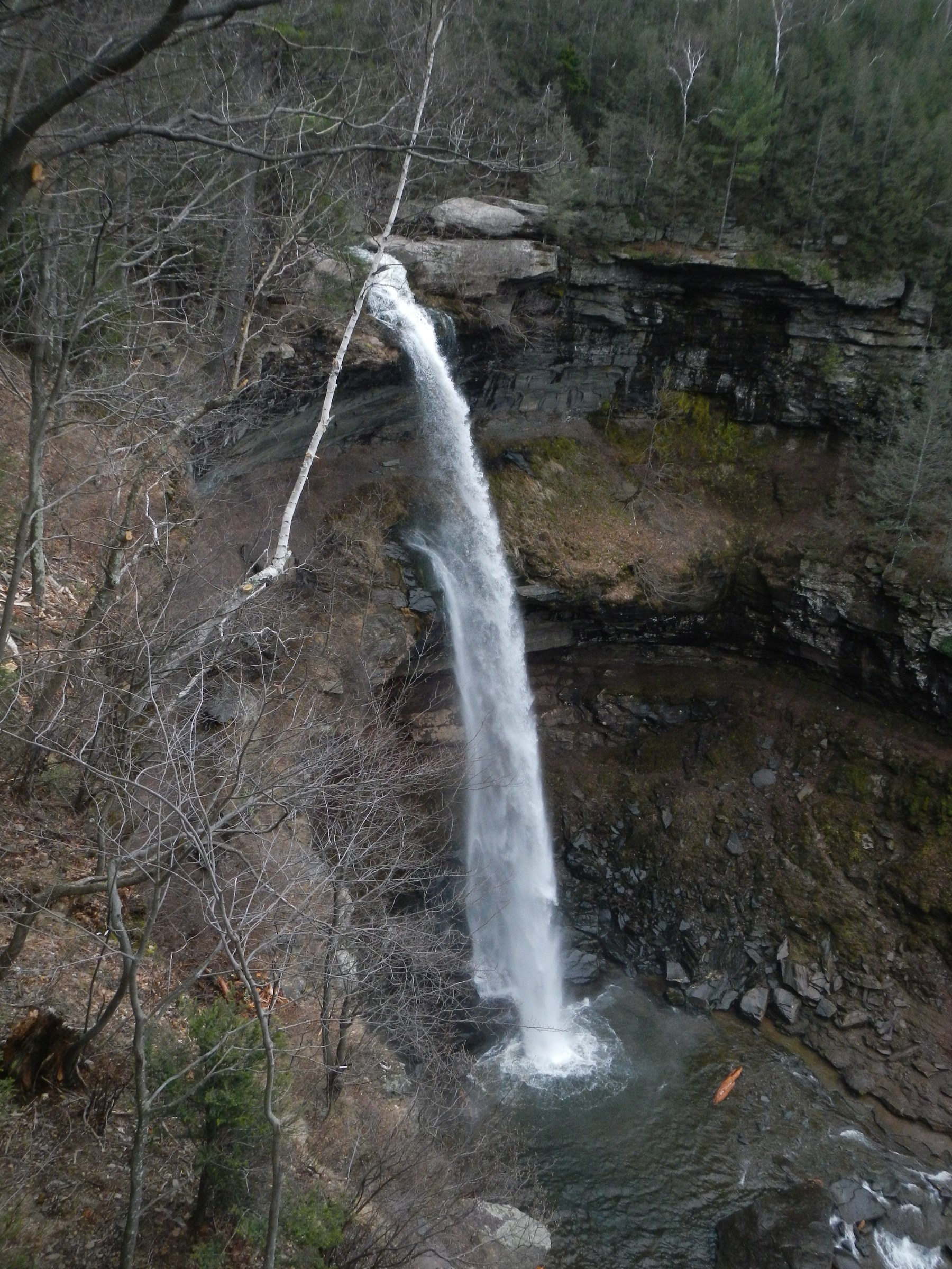
From the Laurel House Road lot at the end of the road above Haines Falls, a short paved and boardwalked path leads directly to the upper viewing platform — a purpose-built cantilevered deck completed by DEC in 2016 that projects out over the top of the falls with a clear view of the two-tier cascade dropping into the lower pool. From the platform the Kaaterskill Falls Trail (yellow blazes) descends a series of stone steps and switchbacks along the north side of the gorge, dropping about 110 m over 0.5 km to the plunge pool between the upper and lower tiers, where the trail ends at a viewing area. The direct return climbs back up the same staircase to the platform and the lot.
The historic Bastion Falls trailhead on NY-23A at the base of the clove is the other end of the same trail, offering an alternative up-and-back from below; parties combining both ends should either shuttle a car or arrange pick-up at Bastion Falls. Fit parties extending the day can continue past the upper platform on the yellow-blazed connector to the Kaaterskill High Peak trail network — an unmarked but well-trodden loop over Kaaterskill High Peak (1,182 m / 3,880 ft) and Round Top from the north or east sides, roughly 13 km with ~700 m of climb, best treated as a separate mountain day.
Why it is essential
Kaaterskill Falls is the highest waterfall in New York State, one of the tallest in the eastern United States, and the founding subject of American landscape painting. Thomas Cole’s 1826 “Falls of the Kaaterskill” is the archetypal Hudson River School canvas; Asher Durand, Sanford Gifford, and dozens of lesser-known painters worked the same view through the 19th century. The falls sit at the historical heart of Catskill tourism — the plunge pool was a stop on the 1820s hotel circuit long before the Catskill Mountain House was built, and the stone staircase and viewing platform are the modern successors of a network of wooden ladders and Victorian pavilions.
Equipment
- Grippy hiking shoes or boots — the stone stairs are slick when wet
- Weatherproof shell
- 1 L water
- Sun protection at the platform
- Trekking poles helpful on the descent staircase
- Do not attempt to reach the top of the falls from below; stay on marked trail
Hazards and notes
- Fatal falls have occurred at the upper viewpoint — do not climb over the platform railings, and do not attempt to reach the top of the falls from the lower pool
- Wet rock at the falls edge is exceptionally slick; algae growth on the cascade lip is invisible until it is too late
- The stone staircase between the platform and the lower pool is steep and stepped — take care in wet or icy conditions
- No cell coverage in the gorge
- Laurel House Road parking fills by 09:00 on peak foliage weekends
- DEC has closed the historic informal “top-of-falls” scramble route; access to the upper cascade lip is via the platform only
GPX / KML links
| Source | URL | Format | Notes |
|---|---|---|---|
| NY State DEC — Kaaterskill Wild Forest | dec.ny.gov | Official page | Trail description and access details |
| NY-NJ Trail Conference — Kaaterskill Falls | nynjtc.org | Official trail description | Canonical route and trail-conference notes |
| AllTrails — Kaaterskill Falls | alltrails.com | Third-party track | Do not redistribute AllTrails GPX without licence confirmation |
Sources
- NY State DEC — Kaaterskill Wild Forest
- NY-NJ Trail Conference — Catskills
- Hudson River School Art Trail — Kaaterskill Falls
2. North-South Lake escarpment loop
Snapshot
Itinerary
From the North-South Lake Campground day-use lot, follow the blue-blazed Escarpment Trail east and then north-east along the top of the cliff line. The first viewpoint, Artist’s Rock at about 0.8 km, is the classic 19th-century painters’ outlook east across the Hudson Valley — Frederic Church and Sanford Gifford both worked from this ledge, and the view has scarcely changed in 180 years. Continuing north, the trail passes Sunset Rock (a short signed spur left), Newman’s Ledge at about 2.4 km with a broad open outlook, and Badman Cave — a shallow overhang below the main trail line.
Beyond Newman’s Ledge the trail climbs steadily through mixed hardwoods and hemlock to North Point at about 4.0 km — a broad open slab of sandstone with a nearly 200-degree panorama south across the entire Catskill Escarpment to Kaaterskill High Peak and east down the Hudson Valley to the Berkshires and southern Vermont on clear days. The traditional loop returns by dropping south-west from North Point on the yellow-blazed Mary’s Glen Trail, which descends through hemlock into the head of Mary’s Glen and past a small waterfall, joining the campground road system back at the lakes. Parties with the time and legs can extend on the Escarpment Trail past North Point to Stoppel Point for the aircraft-wreck viewpoint on the Blackhead Range spur, but this adds another 8 km round-trip and a further ~250 m of climb.
The historic Catskill Mountain House site — a level clearing on the escarpment brow directly above the day-use area — is reached on a short signed spur from the campground road. The 1824 hotel, once one of the most famous resort buildings in America, was demolished by DEC in 1963; only the level platform and a plaque remain, with the same escarpment view that made the hotel’s fortune from the porch.
Why it is essential
The North-South Lake escarpment loop is the single most historically significant hiking route in the north-eastern United States. Every named viewpoint on it — Artist’s Rock, Sunset Rock, Newman’s Ledge, North Point — was painted, published or engraved by the founding generation of American landscape artists, and the Catskill Mountain House site anchors the whole circuit in early American tourism history. The route is also the easiest access to a genuine Catskill 3,000-footer (North Point at ~950 m) and delivers the escarpment’s finest broad panorama in a single day from a family-friendly campground lot.
Equipment
- Standard hiking boots or trail shoes with grip on wet slab
- Weatherproof shell
- Warm layer for the exposed ledges
- 2 L water
- Sun protection at the open viewpoints
- Trekking poles helpful on the descent from North Point
- Map; NY-NJ Trail Conference Catskill map (Map 141)
- Microspikes November to April for cliff-edge ice
Hazards and notes
- Cliff exposure at Artist’s Rock, Sunset Rock, Newman’s Ledge and North Point is real and unfenced — do not approach the edge in wind or when wet
- Slab and ledge rock is slick when wet or frosted
- Bears are present in the Catskill Forest Preserve; do not leave food unattended at picnic areas
- North-South Lake Campground day-use fee ~US$10/vehicle in season; verify 2026 rate with DEC
- The campground road gate opens at 09:00 in season — plan early starts accordingly
- Cell coverage patchy in the campground and absent on the escarpment
- Trailhead register at the North Point trailhead should be signed in and out
GPX / KML links
| Source | URL | Format | Notes |
|---|---|---|---|
| NY State DEC — North-South Lake Campground | dec.ny.gov | Official page | Campground and day-use information; trail map link |
| NY-NJ Trail Conference — Escarpment Trail | nynjtc.org | Official trail description | Canonical route description for the full trail |
| AllTrails — Escarpment Trail North Point Loop | alltrails.com | Third-party track | Do not redistribute AllTrails GPX without licence confirmation |
Sources
- NY State DEC — North-South Lake Campground
- NY-NJ Trail Conference — Escarpment Trail
- Hudson River School Art Trail — North-South Lake
3. Blackhead Mountain from Big Hollow
Snapshot
Itinerary
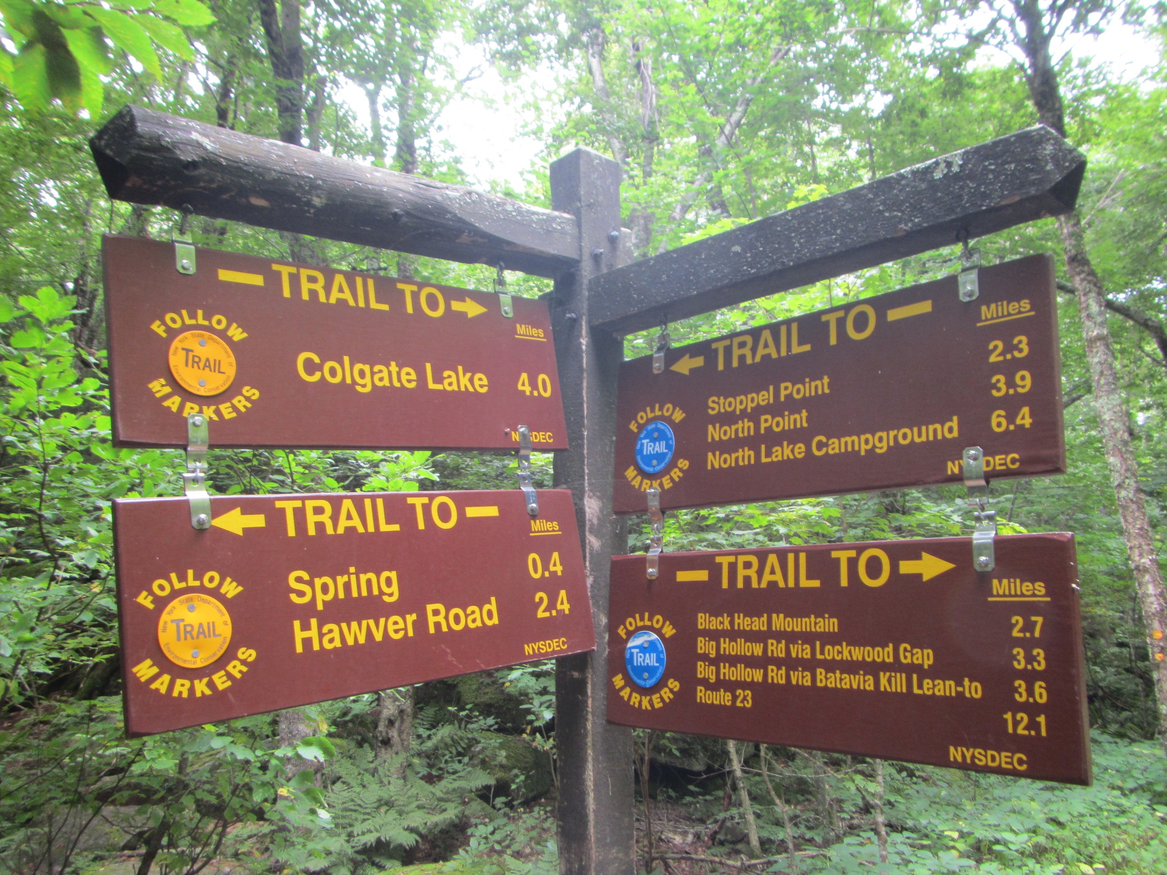
From the Big Hollow trailhead at the road-end above Maplecrest, take the yellow-blazed Batavia Kill Trail east along the stream through hemlock and mixed hardwoods on gentle grade for about 2.3 km to the junction with the Escarpment Trail (blue) at the head of the Batavia Kill valley. Turn south on the Escarpment Trail and begin the sustained climb of Blackhead’s north face — a rocky, root-laced staircase that gains roughly 400 m in 1.5 km, one of the steepest continuous pitches on any marked Catskill trail. Ledges and small scramble sections appear near the top; hands are useful on the wettest steps.
The Blackhead summit at 1,138 m is a wooded plateau with a small clearing near the top and partial views south to the Devil’s Path summits and east across the Hudson Valley through the trees. To reach the finest view — a broad open ledge with a clear panorama west to Black Dome and Thomas Cole — continue about 100 m south past the summit register to the signed viewpoint. Return by the same route.
Fit parties can extend to a full Blackhead Range traverse: continue south from Blackhead to Black Dome (1,143 m, 3rd highest in the Catskills, ~2 km away) and Thomas Cole Mountain (1,132 m), then descend via the Black Dome Range Trail back to Big Hollow — a roughly 12 km loop with about 900 m of total climb, and one of the classic long day-walks of the Catskills.
Why it is essential
Blackhead is the fourth-highest peak in the Catskills, the anchor summit of the Windham–Blackhead Range Wilderness, and one of the required peaks on the Catskill 35er list. Its north-face climb is the region’s benchmark strenuous ascent — short in distance but sustained enough to be a genuine mountain day. The summit sits at the north-eastern extremity of the Catskill high country: on a clear day the view opens west across the entire Catskill dome and east down the escarpment to the Hudson.
Equipment
- Sturdy hiking boots with grip on wet root and rock
- Weatherproof shell
- Warm layer for the summit even in July
- 2.5 L water; treat any stream water
- Sun protection at the summit ledge
- Trekking poles for the descent — the north face is punishing on knees
- Map, compass and NY-NJ Trail Conference Catskill map (Map 141)
- Microspikes into early June for lingering snow on the summit cone
Hazards and notes
- The Blackhead north face is one of the steepest sustained pitches in the Catskills — descent is slower than ascent, and slips on wet root are the most common cause of injury
- Navigation care in fog on the wooded summit plateau — cairns are sparse and the summit clearing has no obvious viewpoint marker
- Bears are present; do not leave food unattended
- Cell coverage is absent above Big Hollow
- No water above the Escarpment Trail junction — carry all you need
- Trailhead register must be signed in and out
- Big Hollow parking is limited; on peak foliage weekends arrive before 08:30
GPX / KML links
| Source | URL | Format | Notes |
|---|---|---|---|
| NY State DEC — Windham–Blackhead Range Wilderness | dec.ny.gov | Official page | Wilderness description and trailhead access |
| NY-NJ Trail Conference — Blackhead Range | nynjtc.org | Official trail-conference page | Catskill Park routes and map (Map 141) |
| AllTrails — Blackhead Mountain via Batavia Kill | alltrails.com | Third-party track | Do not redistribute AllTrails GPX without licence confirmation |
Sources
- NY State DEC — Windham–Blackhead Range Wilderness
- NY-NJ Trail Conference — Catskill Park
- Catskill 3500 Club — peak information
4. Windham High Peak from Elm Ridge
Snapshot
Itinerary
From the Elm Ridge trailhead on Peck Road, follow the yellow-blazed Elm Ridge Trail east through mixed hardwoods on a gentle grade to a junction with the Escarpment Trail (blue) at about 1.0 km — this junction sits at the north-western end of the Escarpment Trail’s 39 km length. Turn south-east on the Escarpment Trail and climb steadily along the ridge crest through a mix of hardwoods, hemlock and spruce–fir belts. The trail is unhurried by Catskill standards — a long steady grade rather than the brutal step-ups of Blackhead — and open ledges appear from about 3.5 km onward, giving views south across the Batavia Kill valley to Black Dome and Thomas Cole.
The final approach to the Windham High Peak summit at 1,053 m passes a signed spur to an open ledge with a broad northern panorama — the escarpment’s finest northward view, taking in the Schoharie Reservoir, the Helderberg Escarpment, and the southern Adirondacks on clear days. The summit itself is wooded but a further open ledge just south of the true top gives views back down the entire Escarpment Trail line toward North Point. Return by the same route.
Why it is essential
Windham High Peak is the northernmost of the 35 Catskill 3,500-footers and the north-western terminus of the Escarpment Trail. The summit ledge delivers the trail’s most complete northward panorama — no other Catskill summit gives a comparable view of the Schoharie Valley and Helderberg country — and the ascent is the gentlest of the region’s 3,500-footer approaches, making it a natural first Catskill 35er for parties working toward the list. It is also the classic “trailing terminus” walk for through-hikers finishing the Escarpment Trail from Kaaterskill Falls.
Equipment
- Sturdy hiking boots
- Weatherproof shell
- Warm layer for the summit ledges
- 2 L water
- Sun protection at the open ledges
- Trekking poles helpful
- Map, compass and NY-NJ Trail Conference Catskill map (Map 141)
- Microspikes into May for residual snow on the upper trail
Hazards and notes
- The summit ledge and viewpoint spurs sit at the top of a cliff line — unfenced exposure at the outlook rocks
- Wet rock on the ledges is slick
- Bears present in the wilderness; do not leave food unattended
- Trailhead register must be signed in and out
- Cell coverage absent above Peck Road
- Elm Ridge parking is a small dirt lot; on peak weekends arrive early
- Hunting season (October–December) — wear high-visibility colours
GPX / KML links
| Source | URL | Format | Notes |
|---|---|---|---|
| NY State DEC — Windham–Blackhead Range Wilderness | dec.ny.gov | Official page | Wilderness area description and trailhead access |
| NY-NJ Trail Conference — Escarpment Trail | nynjtc.org | Official trail description | Canonical Escarpment Trail route |
| AllTrails — Windham High Peak via Elm Ridge | alltrails.com | Third-party track | Do not redistribute AllTrails GPX without licence confirmation |
Sources
- NY State DEC — Windham–Blackhead Range Wilderness
- NY-NJ Trail Conference — Escarpment Trail
- Catskill 3500 Club — Windham High Peak
5. Overlook Mountain from Meads
Snapshot
Itinerary
From the small lot on Meads Mountain Road opposite the KTD Buddhist monastery, follow the red-blazed Overlook Mountain Trail — actually a wide, gravelled old carriage road — steadily uphill for about 3.2 km on a continuous but never brutal grade. The old road was the drive that once served the Overlook Mountain House hotel, and its width and grade reflect that carriage-era origin.
At approximately 3.2 km the trail passes the ruins of the Overlook Mountain House — a monumental burnt-out concrete shell that stopped construction after a 1924 fire and has stood open to the sky ever since. The remaining walls and floor beams are hazardous — DEC signs specifically warn against entering — but the ruin is visible in full from the road.
Beyond the hotel ruin the trail continues 0.8 km east to the summit clearing, where the restored Overlook Mountain fire tower (originally built in 1927, relocated to its present site in 1950, restored by the Catskill Center in the early 2000s) offers a full 360-degree view from the observation cab. The panorama takes in the Ashokan Reservoir directly south, the Devil’s Path summits west, the Hudson Valley east, and the Catskill Escarpment north-east back toward North-South Lake. A small stone shelter — the old fire warden’s cabin — sits on the summit clearing. Return by the same route.
Why it is essential
Overlook Mountain is the southernmost easternmost of the Catskill Escarpment’s classic summits and the ridge’s most-visited fire tower. Its combination of features is unique in the region: a historic carriage road, a monumental burnt-out concrete hotel ruin, an active fire tower with unrestricted summit access, and a broad panorama that sees both the Hudson Valley and the Catskill high peaks in a single sweep. Overlook is also the ridge’s most accessible summit for parties based in Woodstock, and the shortest 3,000-footer approach in the entire region.
Equipment
- Trail shoes or hiking boots
- Weatherproof shell
- Warm layer for the summit and fire tower
- 2 L water
- Sun protection at the summit clearing
- Trekking poles optional
- Map; NY-NJ Trail Conference Catskill map (Map 141)
- Camera — the fire-tower view is one of the best in the Catskills
Hazards and notes
- Timber rattlesnakes are resident on the Overlook rocky slopes — a state-threatened species; give any observed snake a wide berth and do not disturb
- The Overlook Mountain House ruin is unstable — DEC signs prohibit entering the walls
- Fire tower cab access is at the visitor’s own risk — do not climb in high wind or when wet
- Bears are present; do not leave food unattended
- Cell coverage is patchy on the summit and absent lower down
- Meads Mountain Road parking fills fast on peak foliage weekends
- Trailhead register must be signed in and out
- No water on the carriage road above the trailhead — carry all you need
GPX / KML links
| Source | URL | Format | Notes |
|---|---|---|---|
| NY State DEC — Overlook Mountain Wild Forest | dec.ny.gov | Official page | Wild-forest description and trail information |
| NY-NJ Trail Conference — Overlook Mountain | nynjtc.org | Official trail description | Canonical route |
| AllTrails — Overlook Mountain Trail | alltrails.com | Third-party track | Do not redistribute AllTrails GPX without licence confirmation |
Sources
- NY State DEC — Overlook Mountain Wild Forest
- NY-NJ Trail Conference — Overlook Mountain
- Catskill Center — Overlook Fire Tower
Missing data / follow-up work
- Windham High Peak figure — no licence-verified Wikimedia Commons photograph of Windham High Peak or the Elm Ridge / Escarpment Trail summit ledges could be matched with confidence in this pass; the Windham High Peak section is published without an image. If a licence-verified summit or ledge image can be sourced, a figure should be added.
- Overlook Mountain figure — no licence-verified Wikimedia Commons photograph of the Overlook fire tower or the Overlook Mountain House ruin could be matched with confidence in this pass; the Overlook section is published without an image. Candidates on Commons exist but need direct licence verification against the file page before use.
- North-South Lake Campground 2026 day-use fee — the ~US$10/vehicle rate is the historical baseline; verify current 2026 rate with DEC before travel.
- Kaaterskill Falls extension to Kaaterskill High Peak — the extended loop over Kaaterskill High Peak and Round Top uses several unmarked but well-trodden herd paths on DEC Forest Preserve land; distance and gain vary by variant and are best planned as a separate mountain day.
- Full Escarpment Trail one-day traverse — the ~39 km through-hike from Elm Ridge (Windham) to the Schutt Road / Kaaterskill Falls area is a hard one-day walk (~1,500 m of cumulative climb) and is a widely respected long-distance Catskill route; shuttle logistics are the limiting factor. Best treated as a separate long-day traverse rather than an “essential day hike” in this catalogue.
- Overlook Mountain rattlesnake advisory — timber rattlesnakes are legally protected in New York State; do not disturb, do not attempt to relocate, and give any observed snake a wide berth. Report significant encounters to DEC.
- Blackhead Range full traverse — the Blackhead / Black Dome / Thomas Cole loop from Big Hollow is a fine and popular extension; noted here as the natural upgrade to the Blackhead-only day.
Further reading
| Source | URL |
|---|---|
| NY State DEC — Catskill Park | dec.ny.gov |
| NY State DEC — North-South Lake Campground | dec.ny.gov |
| NY State DEC — Kaaterskill Wild Forest | dec.ny.gov |
| NY State DEC — Windham–Blackhead Range Wilderness | dec.ny.gov |
| NY State DEC — Overlook Mountain Wild Forest | dec.ny.gov |
| NY-NJ Trail Conference — Catskill Park | nynjtc.org |
| NY-NJ Trail Conference — Escarpment Trail | nynjtc.org |
| Catskill 3500 Club | catskill-3500-club.org |
| Catskill Center for Conservation and Development | catskillcenter.org |
| Hudson River School Art Trail | hudsonriverschool.org |
| Mountain Top Historical Society (Haines Falls) | mths.org |
| Wikipedia — Escarpment Trail (background) | en.wikipedia.org |