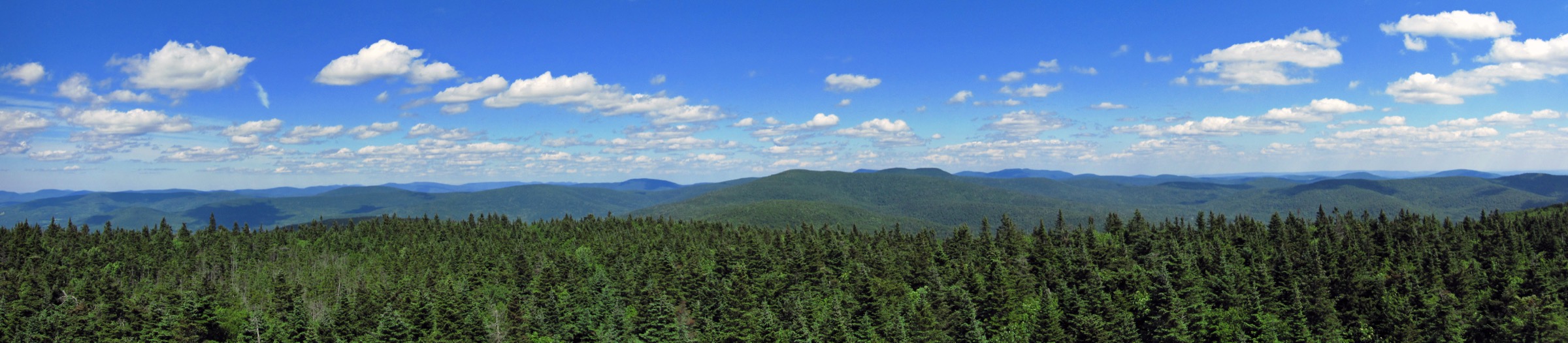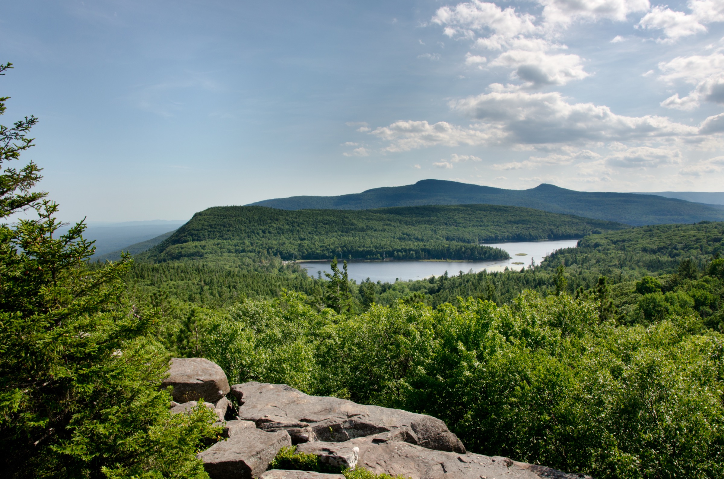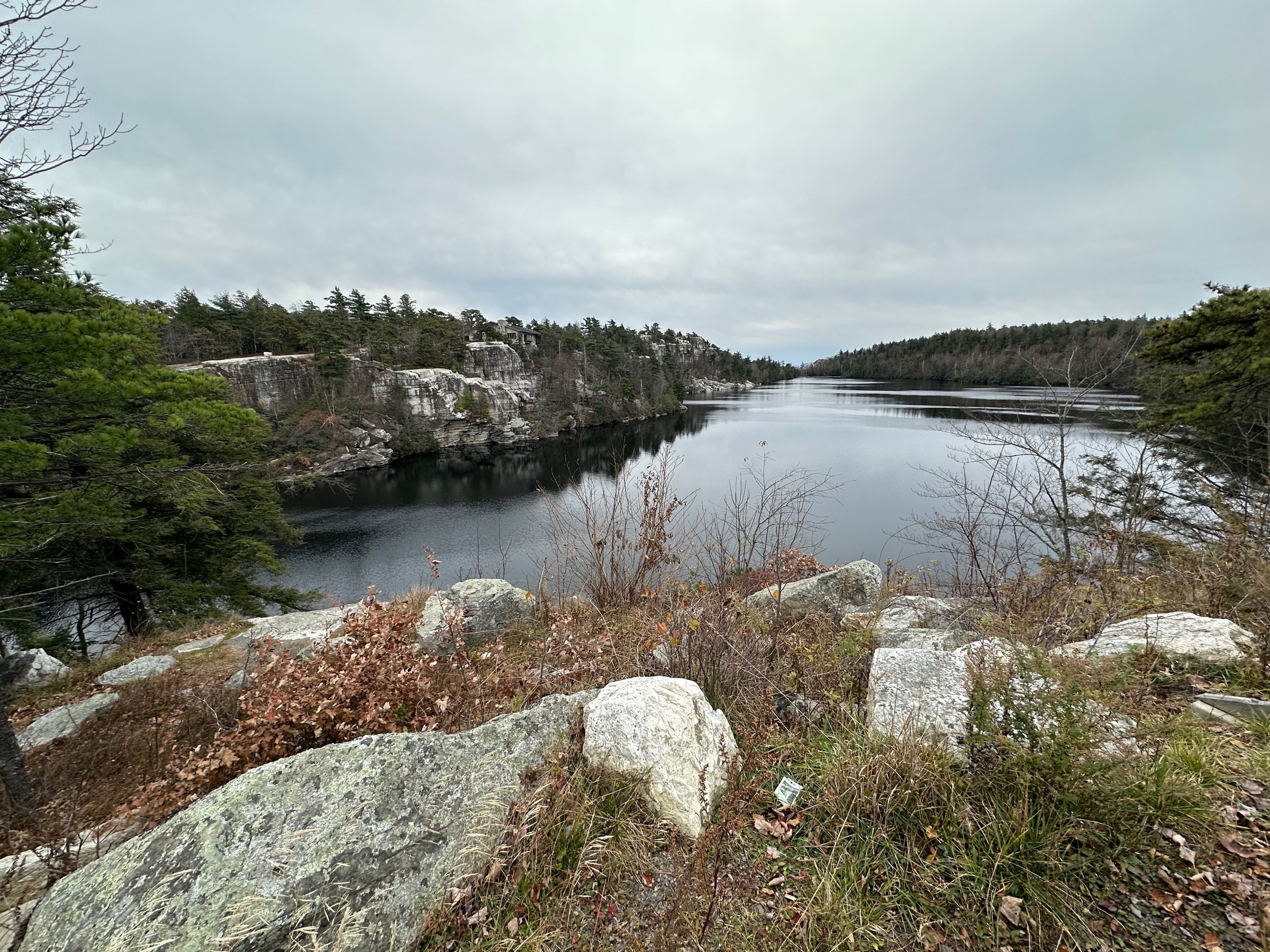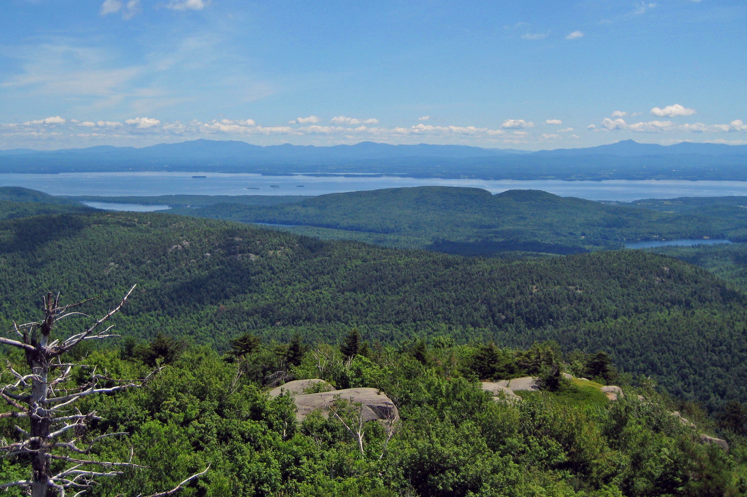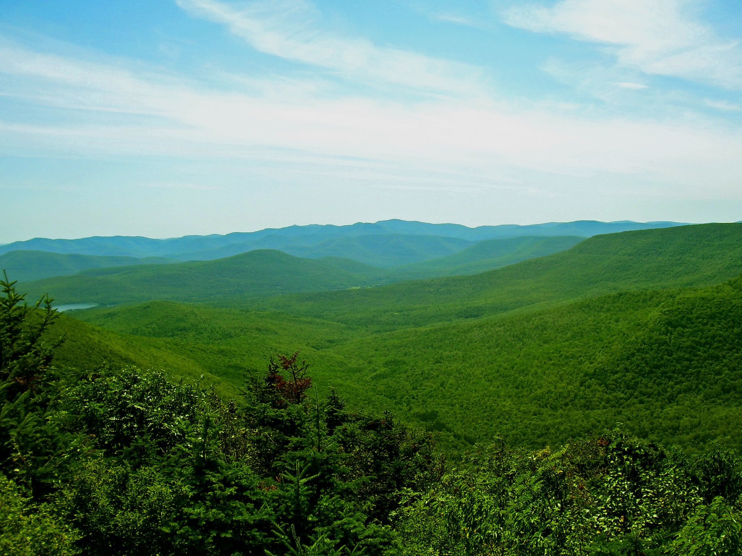
Regional overview
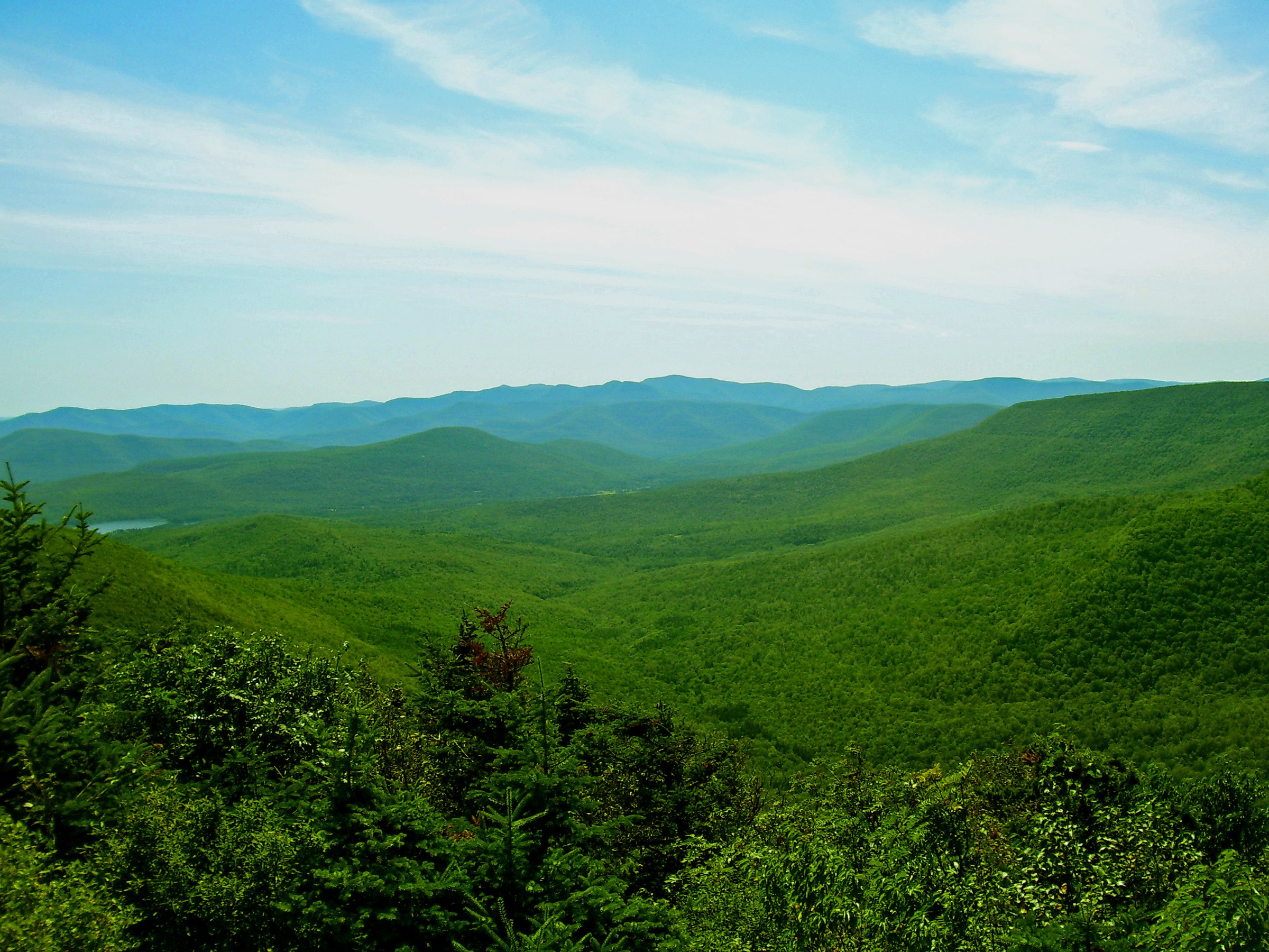
The Devil’s Path is a roughly 40 km (about 25 mi) ridge traverse across six mountains in the eastern Catskills — from west to east: Westkill, Hunter, Plateau, Sugarloaf, Twin and Indian Head — running from Spruceton Valley at the western end to Prediger Road and Platte Clove at the eastern end. All six summits rise above 1,050 m (3,500 ft), and the trail links them with a sequence of steep, rocky cols that require hand-and-foot climbing on wet stone, roots and loose rubble. Long recognised in local trail literature as the hardest sustained hiking route in the north-east United States, the Devil’s Path crosses the Indian Head Wilderness, the Hunter–West Kill Wilderness, and the Kaaterskill Wild Forest — all part of the New York State Forest Preserve managed by the Department of Environmental Conservation (DEC).
Practical hiking on the Devil’s Path is almost always done in one-day sections rather than as a single traverse. The main access points are Prediger Road at the eastern end (Indian Head, Twin, Sugarloaf), Devil’s Tombstone State Campground and Stony Clove Notch in the middle (Plateau east ascent, Hunter north approach), Notch Lake and the Spruceton Valley road at Hunter’s south-west base, and Diamond Notch and Spruceton Road at the western end (Westkill). All are on paved public roads within Catskill Park; none require a permit or fee for day hiking, though DEC campground use at Devil’s Tombstone and North–South Lake is fee-based in season. Trailhead registers are provided and should be signed in and out.
The practical dry-hike season runs from mid-May, once the freeze–thaw cycle stops icing the steep cols, through late October when leaf-fall exposes loose rock underfoot. Snow and verglas can appear on the north-facing scrambles of Indian Head and Plateau from early November to April; the DEC classifies winter conditions on the ridge as serious mountaineering terrain rather than winter hiking, with microspikes barely adequate on the steepest sections. Water sources are limited to a few small springs and the streams at each notch — Devil’s Tombstone at Stony Clove, Diamond Notch Falls on the West Kill — and there is no reliable water on the ridge itself. Cell coverage is absent on every summit and most of the ridge.
Hazards on the Devil’s Path deserve specific attention. The trail contains multiple Class 3 rock scrambles — the Sherman’s Lookout cliff-band on Indian Head, the south face of Twin, the east face of Plateau above Stony Clove Notch, and the upper Westkill scramble from Diamond Notch. Route surface is loose rock, wet roots and polished slab; falls on the descent are the most common cause of rescue call-outs. Route-finding is straightforward on the marked trail (red DEC disks along the main Devil’s Path, blue and yellow on connectors) but the sequence of false summits on Plateau and the near-continuous forest cover on Hunter’s north side make estimating progress difficult. Black bears are present region-wide — day walkers should never leave food unattended — and the eastern Catskills carry meaningful tick and mosquito pressure June through September.
Selection rationale
The five walks below cover the character of each of the six Devil’s Path peaks as a stand-alone day-hike from a road-accessible trailhead, without asking hikers to link the full traverse. Indian Head Mountain from Prediger Road is the eastern gateway climb and one of the most photographed viewpoints in the Catskills. Twin Mountain from Prediger Road delivers the ridge’s finest south-facing panorama at the North–South summit col. Plateau Mountain from Devil’s Tombstone gives the true east-face scramble in a short but sustained round-trip. Hunter Mountain from Spruceton (or Notch Lake) reaches the highest peak on the Devil’s Path — with its restored fire tower — as a stand-alone loop. Westkill Mountain from Diamond Notch closes the range’s western terminus on the ridge’s most graceful walking approach. Sugarloaf is not given its own entry — it is most naturally combined with Twin or approached from Roaring Kill — but the Sugarloaf viewpoint from Twin is documented in the Twin figure and referenced in the follow-up section.
Summary table
| # | Hike | Country | Route type | Distance | Gain | Max elevation | Difficulty |
|---|---|---|---|---|---|---|---|
| 1 | Indian Head Mountain from Prediger Road | USA | Out-and-back | ~9–11 km (~5.6–6.8 mi) | ~700 m | 1,082 m | Strenuous |
| 2 | Twin Mountain from Prediger Road | USA | Out-and-back | ~11–13 km (~6.8–8.1 mi) | ~830 m | 1,124 m | Strenuous |
| 3 | Plateau Mountain from Devil’s Tombstone | USA | Out-and-back | ~9 km (~5.6 mi) | ~730 m | 1,101 m | Strenuous |
| 4 | Hunter Mountain fire-tower loop | USA | Loop | ~10–13 km (~6.2–8.1 mi) | ~700 m | 1,231 m | Strenuous |
| 5 | Westkill Mountain from Diamond Notch | USA | Out-and-back | ~10 km (~6.2 mi) | ~700 m | 1,196 m | Strenuous |
1. Indian Head Mountain from Prediger Road
Snapshot
Itinerary
From the Prediger Road trailhead the Devil’s Path (red DEC disks) heads south-west over gently rising terrain for about 0.6 km to the junction with the Jimmy Dolan Notch Trail (blue). The main red-blazed Devil’s Path continues straight and climbs steadily through mixed hardwoods for a further 2 km, then steepens sharply as it approaches the base of the Indian Head cliff-band. Above ~950 m the route becomes a sustained hand-and-foot scramble up a stepped conglomerate face — the section widely known as Sherman’s Lookout, one of the most technical short pieces of trail in the eastern United States. Above the cliff-band the trail eases onto the summit ridge and reaches a series of open ledges facing north-east over Kaaterskill High Peak, Round Top and the Great Northern Escarpment. The true wooded summit sits about 0.5 km further west on the marked ridge, without a view; most parties turn around at the ledges. Return by the same route, taking particular care on the descent of the cliff-band.
Why it is essential
Indian Head is the eastern gateway to the Devil’s Path and — with its cliff-band viewpoint — one of the most photographed sub-alpine views in the Catskills. The route’s sustained Class 3 scramble is a fair introduction to the character of the wider traverse without committing to a multi-summit day, and the summit ledges look directly at Kaaterskill High Peak and Round Top, the two peaks that sit outside the Devil’s Path proper but visually anchor the eastern skyline.
Equipment
- Sturdy hiking boots with strong grip on wet conglomerate
- Weatherproof shell
- Warm layer for the exposed ledges
- 2.5 L water — no reliable source on the ridge
- Sun protection at the ledges
- Trekking poles (fold them away for the scramble)
- Map, compass and NY-NJ Trail Conference Catskill map
- Headtorch for a late finish
- Microspikes November to April; the cliff-band is dangerous when icy
Hazards and notes
- The Sherman’s Lookout cliff-band is a genuine Class 3 scramble — descend carefully and never in wet or icy conditions without appropriate traction
- Route surface is loose rock, wet roots and polished slab across most of the upper climb
- No water on the ridge; carry all you need
- Black bears in the region — never leave food unattended
- Prediger Road parking is limited and can overflow onto the road on peak-season weekends; do not block driveways or turnaround points
- Cell coverage is absent above the trailhead
- Trailhead register should be signed in and out
GPX / KML links
| Source | URL | Format | Notes |
|---|---|---|---|
| NY State DEC — Indian Head Wilderness | dec.ny.gov | Official page | No official GPX published; wilderness map PDF available |
| Waymarked Trails — Devil’s Path | hiking.waymarkedtrails.org | OSM route relations | Devil’s Path mapped in OSM; GPX exportable via the relation |
| AllTrails — Indian Head Mountain | alltrails.com | Third-party track | Do not redistribute AllTrails GPX without licence confirmation |
Sources
- NY State DEC — Indian Head Wilderness
- NY-NJ Trail Conference — Catskill Trails
- Catskill Mountain Club
2. Twin Mountain from Prediger Road
Snapshot
Itinerary
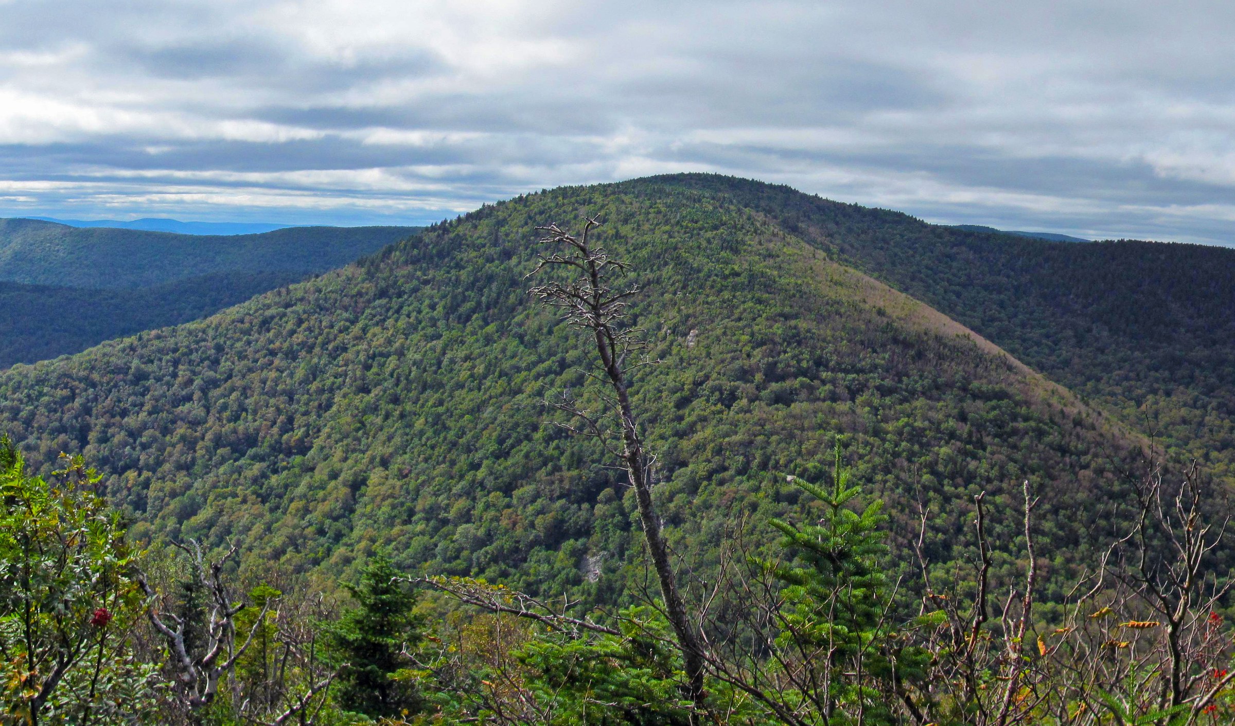
From Prediger Road the Devil’s Path heads west for about 0.6 km to the junction with the Jimmy Dolan Notch Trail (blue disks). Turn left onto the blue trail and climb steadily south-west for about 2.4 km through hardwood forest to Jimmy Dolan Notch, the col between Indian Head and Twin at approximately 900 m. At the col, turn right (west) onto the Devil’s Path proper (red) and climb the steep, rocky north face of Twin — a sustained pull with several short scrambles on stepped conglomerate. The trail reaches the north summit of Twin, a small open ledge with the classic view west to Sugarloaf across the Pecoy Notch col. The main (south) summit lies a further 0.5 km along the ridge over an intervening dip, at a broad rock viewpoint facing south over Kaaterskill Clove to Overlook Mountain, Plattekill and the southern Catskill high peaks. Return by the same route; fit parties can descend directly to Prediger via Pecoy Notch and Roaring Kill to make a longer loop, but that alternative exit ends at a different trailhead and requires a shuttle.
Why it is essential
Twin’s south summit offers what most Catskill guidebook literature calls the finest single panorama on the Devil’s Path — an unobstructed rock ledge facing south over the entire southern half of the range. The Jimmy Dolan Notch approach reaches that view without asking the party to link Sugarloaf, and the north-summit ledge on the way over adds the classic west view to Sugarloaf that appears in most photographic surveys of the ridge.
Equipment
- Sturdy hiking boots with strong grip
- Weatherproof shell
- Warm layer
- 3 L water — no reliable source on the ridge
- Sun protection at the summit ledges
- Trekking poles (stow them for the scramble)
- Map, compass and NY-NJ Trail Conference Catskill map
- Headtorch for a late finish
- Microspikes November to April
Hazards and notes
- The scramble up Twin’s north face is steep and exposed; wet rock is the dominant hazard
- Both summit ledges are unfenced — mind children and dogs
- No water on the ridge; carry all you need
- Black bears in the region — never leave food unattended
- Prediger Road parking overflow on peak weekends
- Cell coverage is absent on the ridge
GPX / KML links
| Source | URL | Format | Notes |
|---|---|---|---|
| NY State DEC — Indian Head Wilderness | dec.ny.gov | Official page | No official GPX published |
| Waymarked Trails — Devil’s Path | hiking.waymarkedtrails.org | OSM route relations | Jimmy Dolan Notch Trail mapped in OSM |
| AllTrails — Twin Mountain via Jimmy Dolan Notch | alltrails.com | Third-party track | Do not redistribute AllTrails GPX without licence confirmation |
Sources
- NY State DEC — Indian Head Wilderness
- NY-NJ Trail Conference — Catskill Trails
- Catskill Mountain Club
3. Plateau Mountain from Devil’s Tombstone
Snapshot
Itinerary
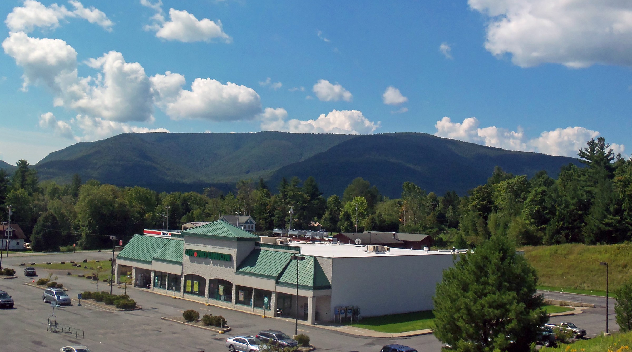
From the parking area at Stony Clove Notch — either on the west shoulder of NY-214 opposite Devil’s Tombstone Campground or in the campground day-use area when available — the Devil’s Path (red DEC disks) heads east and immediately begins one of the steepest sustained climbs in the Catskills. The lower 1.5 km gain approximately 550 m through a series of stepped rock ledges and hand-and-foot scrambles up the west face of the plateau escarpment. The trail eases dramatically as it reaches the ridge; the “plateau” name is literal — the summit ridge runs almost level for close to 3 km. Follow the red disks east across the summit forest of balsam fir and paper birch. Orchard Point, a small open ledge at approximately 1,090 m with a broad south-facing view over Sugarloaf, Twin and the southern Catskills, sits roughly 3 km from the notch — the highest true viewpoint on Plateau and a natural turnaround. Return by the same route, descending the east face with particular care.
Why it is essential
Plateau’s east-face climb from Stony Clove Notch is the shortest, sharpest ascent on the entire Devil’s Path and the peak’s defining feature — a rock scramble in the lower half, a level walk on the ridge, and an open south-facing view from Orchard Point. Combined with easy road access at the notch and a natural pairing with Devil’s Tombstone Campground as a base, Plateau delivers the character of the traverse in a single day without needing a shuttle.
Equipment
- Sturdy hiking boots with strong grip on wet rock
- Weatherproof shell
- Warm layer — the ridge is exposed in wind
- 2.5 L water
- Sun protection at Orchard Point
- Trekking poles (fold away for the scramble)
- Map, compass and NY-NJ Trail Conference Catskill map
- Microspikes November to April; the east face becomes dangerous when icy
Hazards and notes
- The east-face scramble is the dominant hazard — falls on the descent are the most common cause of rescue call-outs
- No water on the ridge
- Black bears in the region
- Devil’s Tombstone Campground parking may fill on peak-season weekends; NY-214 is a fast road — do not block the highway
- Cell coverage absent on the ridge
- Winter descents of the east face require full traction and appropriate experience
GPX / KML links
| Source | URL | Format | Notes |
|---|---|---|---|
| NY State DEC — Hunter–West Kill Wilderness | dec.ny.gov | Official page | No official GPX published; wilderness map PDF available |
| Waymarked Trails — Devil’s Path | hiking.waymarkedtrails.org | OSM route relations | Plateau east face mapped in OSM |
| AllTrails — Plateau Mountain | alltrails.com | Third-party track | Do not redistribute AllTrails GPX without licence confirmation |
Sources
- NY State DEC — Hunter–West Kill Wilderness
- NY-NJ Trail Conference — Catskill Trails
- Catskill Mountain Club
4. Hunter Mountain fire-tower loop
Snapshot
Itinerary
From the Spruceton Road trailhead the Spruceton Trail (blue DEC disks) follows an old fire-tower road east and then north up the south-west shoulder of Hunter Mountain. The lower kilometres pass the John Robb Lean-to at about 3.5 km and reach the Colonel’s Chair spur at approximately 5 km, then continue on gentler grades through spruce–fir forest to the summit clearing at 1,231 m. The restored fire tower on the summit — one of five surviving Catskill fire towers, staffed intermittently by volunteers in season — climbs above the treetops and delivers a genuine 360-degree panorama across the entire Catskill high peaks, with Slide Mountain visible south, Blackhead north-east, and the Great Northern Escarpment east. For a loop, hikers can descend south on the Devil’s Path (red) toward Devil’s Acre lean-to and the Diamond Notch Trail, returning to Spruceton via Diamond Notch Falls — a ~13 km round-trip. Alternative approaches include the shorter but steeper Becker Hollow Trail from NY-214 (~10 km round-trip, 950 m gain) and the Devil’s Path from Notch Lake at Stony Clove.
Why it is essential
Hunter is the highest summit on the Devil’s Path and the second-highest peak in the Catskills. The restored fire tower is the single best above-canopy view in the range — the only Catskill viewpoint that reliably matches Slide’s summit ledges — and the Spruceton approach is a graceful, sustained walk rather than the aggressive scrambles of the ridge’s central peaks. Combined with the Diamond Notch descent it makes a genuine full-day loop from a single trailhead.
Equipment
- Standard hiking boots
- Weatherproof shell
- Warm layer for the summit and tower
- 2.5 L water — small springs along the Spruceton Trail but treat if used
- Sun protection at the summit clearing
- Trekking poles
- Map, compass and NY-NJ Trail Conference Catskill map
- Headtorch for a late finish
- Microspikes November to April; the fire tower is exposed and windy in shoulder-season
Hazards and notes
- Fire-tower access depends on volunteer staffing and DEC seasonal status — check current open status before travel
- The Spruceton Road parking area is small and fills on peak weekends
- Black bears in the region
- Cell coverage absent on the route
- The tower stairs can be slick in wet weather
- The Devil’s Acre lean-to and Diamond Notch descent add significant distance if used as a loop
GPX / KML links
| Source | URL | Format | Notes |
|---|---|---|---|
| NY State DEC — Hunter Mountain Fire Tower | dec.ny.gov | Official page | No official GPX published |
| NY State DEC — Hunter–West Kill Wilderness | dec.ny.gov | Official page | Wilderness map PDF available |
| Waymarked Trails — Spruceton Trail | hiking.waymarkedtrails.org | OSM route relations | Spruceton and Devil’s Path mapped in OSM |
| AllTrails — Hunter Mountain via Spruceton | alltrails.com | Third-party track | Do not redistribute AllTrails GPX without licence confirmation |
Sources
- NY State DEC — Hunter Mountain Fire Tower
- NY State DEC — Hunter–West Kill Wilderness
- NY-NJ Trail Conference — Catskill Trails
5. Westkill Mountain from Diamond Notch
Snapshot
Itinerary
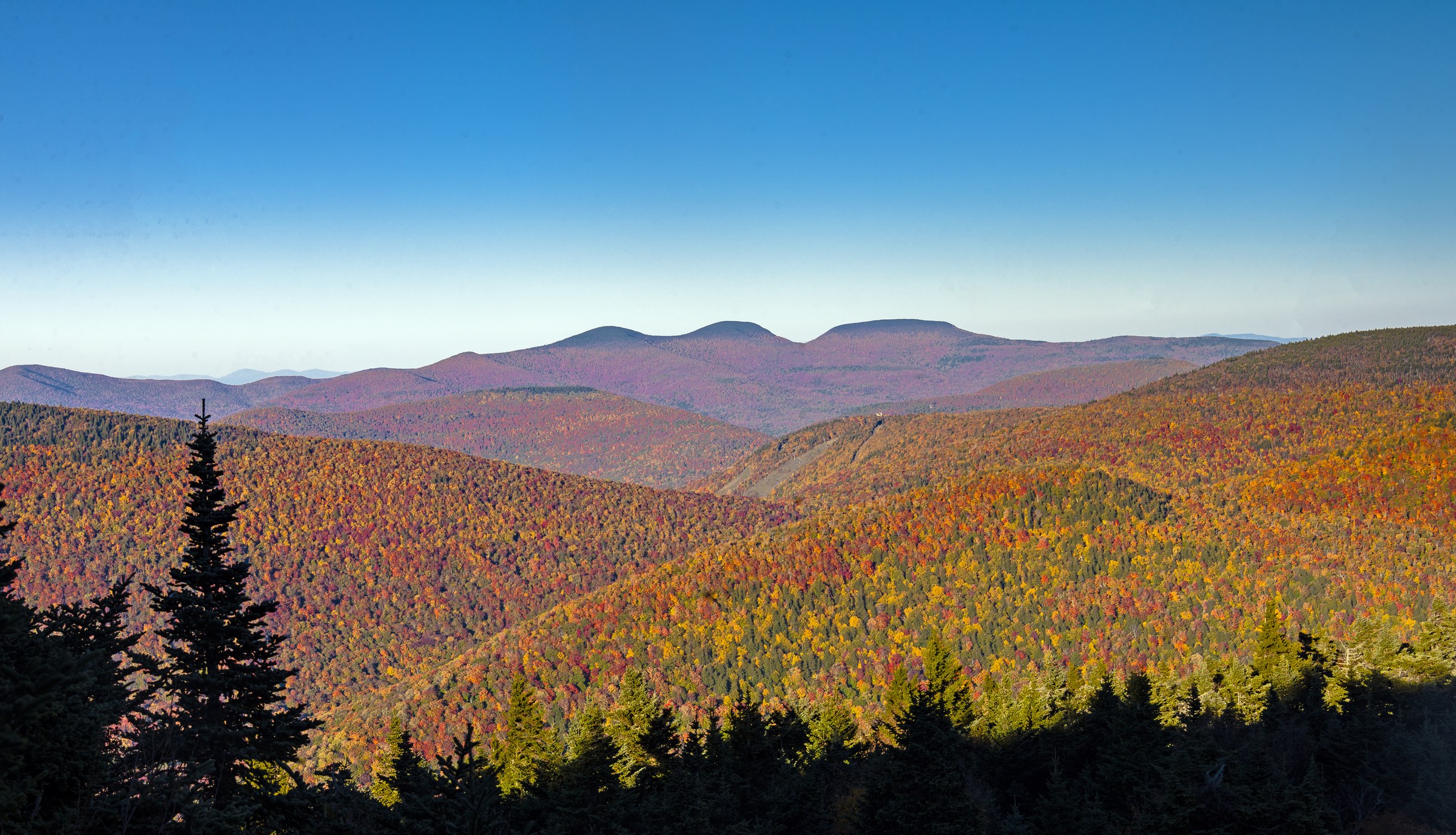
From the Diamond Notch trailhead at the end of Spruceton Road, the Diamond Notch Trail (blue DEC disks) follows the West Kill stream south-east for about 1.5 km to Diamond Notch Falls, a stepped cascade at the col between Westkill and North Dome. At the falls turn left (east) onto the Devil’s Path (red DEC disks) and climb steadily through mixed hardwood forest. The trail steepens sharply above ~900 m as it approaches the summit ridge, with a series of stepped rock ledges in the final 1 km. The main summit at 1,196 m is wooded, but Buck Ridge Lookout — a small open rock ledge a short distance west of the summit — offers a broad north- and east-facing view over the Spruceton Valley to Rusk, North Dome and West Kill’s own long ridge back toward Hunter. Return by the same route. Fit parties can extend by continuing east on the Devil’s Path toward Hunter and descending via the Spruceton Trail, making a full Westkill–Hunter horseshoe loop of about 20 km.
Why it is essential
Westkill closes the western end of the Devil’s Path range and offers the ridge’s most graceful walking approach — the Diamond Notch stream and falls in the lower half, the summit scramble concentrated only in the last kilometre. Buck Ridge Lookout is one of the most-photographed viewpoints in the western Catskills, and the pairing with the Diamond Notch Trail makes Westkill a genuine full-day round-trip from a single road-end trailhead without a shuttle.
Equipment
- Sturdy hiking boots
- Weatherproof shell
- Warm layer for Buck Ridge Lookout
- 2.5 L water — Diamond Notch stream is present low down, treat if used
- Sun protection at the lookout
- Trekking poles for the descent
- Map, compass and NY-NJ Trail Conference Catskill map
- Microspikes November to April
Hazards and notes
- The upper scramble is steep and wet after rain
- Buck Ridge Lookout is an unfenced rock ledge — mind children and dogs
- Diamond Notch Falls is a designated swimming spot but currents can be strong in high water
- Black bears in the region
- Spruceton Road parking is small and fills on peak weekends
- Cell coverage absent on the ridge
GPX / KML links
| Source | URL | Format | Notes |
|---|---|---|---|
| NY State DEC — Hunter–West Kill Wilderness | dec.ny.gov | Official page | No official GPX published; wilderness map PDF available |
| Waymarked Trails — Devil’s Path | hiking.waymarkedtrails.org | OSM route relations | Diamond Notch and Devil’s Path mapped in OSM |
| AllTrails — Westkill Mountain via Diamond Notch | alltrails.com | Third-party track | Do not redistribute AllTrails GPX without licence confirmation |
Sources
- NY State DEC — Hunter–West Kill Wilderness
- NY-NJ Trail Conference — Catskill Trails
- Catskill Mountain Club
Missing data / follow-up work
- Hunter Mountain figure — no licence-verified Wikimedia Commons summit / fire-tower photograph was matched in this pass; a suitable image should be sourced (candidates by Daniel Case on the Hunter Mountain Commons category exist and could be verified separately).
- Sugarloaf Mountain stand-alone entry — Sugarloaf is not covered here as its own hike; it is most naturally paired with Twin from Roaring Kill / Mink Hollow, or combined with Plateau as a two-summit day. A separate figure of Sugarloaf itself was not included; the Sugarloaf-from-Twin viewpoint is used with the Twin entry.
- Fire-tower open-day schedule 2026 — the Hunter Mountain fire tower is staffed intermittently by volunteers under the DEC Fire Tower Challenge programme; the 2026 volunteer schedule should be confirmed with DEC Region 4 or the Catskill Center closer to the season.
- Devil’s Tombstone Campground fees and open dates 2026 — the DEC campground at Stony Clove is fee-based in season; verify the 2026 opening date, day-use rate and non-camper parking policy before travel.
- Full Devil’s Path traverse — the ~40 km end-to-end traverse from Prediger Road to Spruceton Road (or vice versa) is out of scope as a day-hike but is regularly attempted by strong parties as an ultra-day or in two days; separate coverage of the through-route with the standard water-stash strategy at Stony Clove and Mink Hollow would be a useful follow-up entry.
- Winter conditions on the east faces — Indian Head, Twin and especially Plateau east become dangerous in ice; separate winter guidance is warranted rather than the day-hike framing used here.
Further reading
| Source | URL |
|---|---|
| NY State DEC — Indian Head Wilderness | dec.ny.gov |
| NY State DEC — Hunter–West Kill Wilderness | dec.ny.gov |
| NY State DEC — Kaaterskill Wild Forest | dec.ny.gov |
| NY State DEC — Hunter Mountain Fire Tower | dec.ny.gov |
| NY State DEC — Devil’s Tombstone Campground | dec.ny.gov |
| NY-NJ Trail Conference — Catskill Trails | nynjtc.org |
| Catskill Mountain Club | catskillmountainclub.org |
| Catskill Center | catskillcenter.org |
| Catskill 3500 Club | catskill-3500-club.org |
| Catskill Hiker — Devil’s Path peaks | catskillhiker.net |
| Waymarked Trails — Hiking | hiking.waymarkedtrails.org |