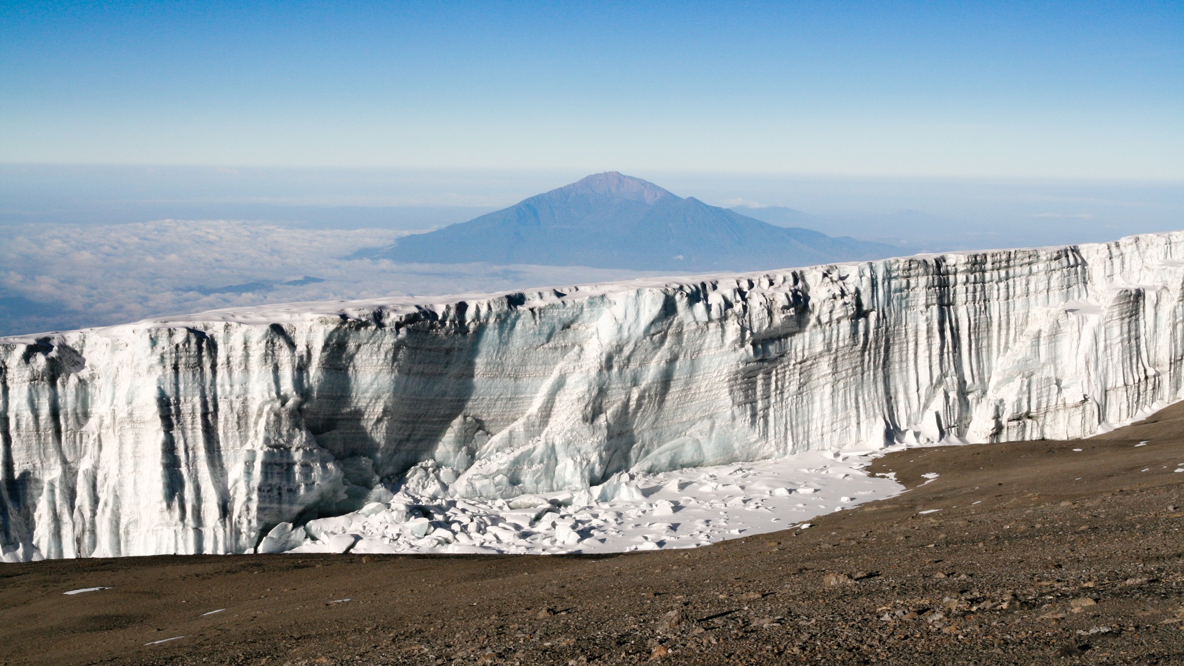
Regional overview
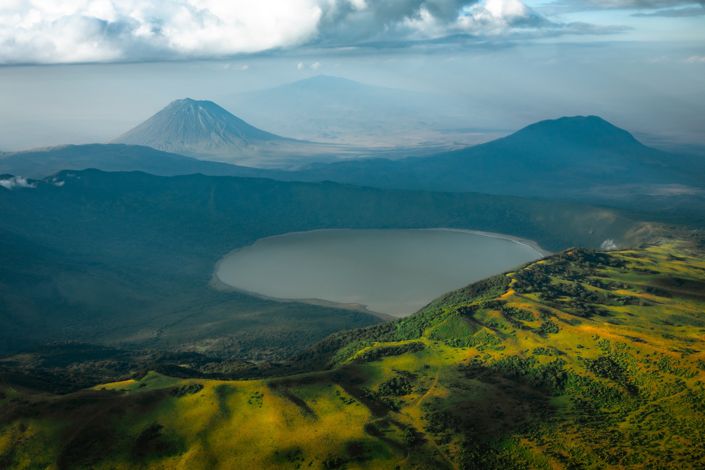
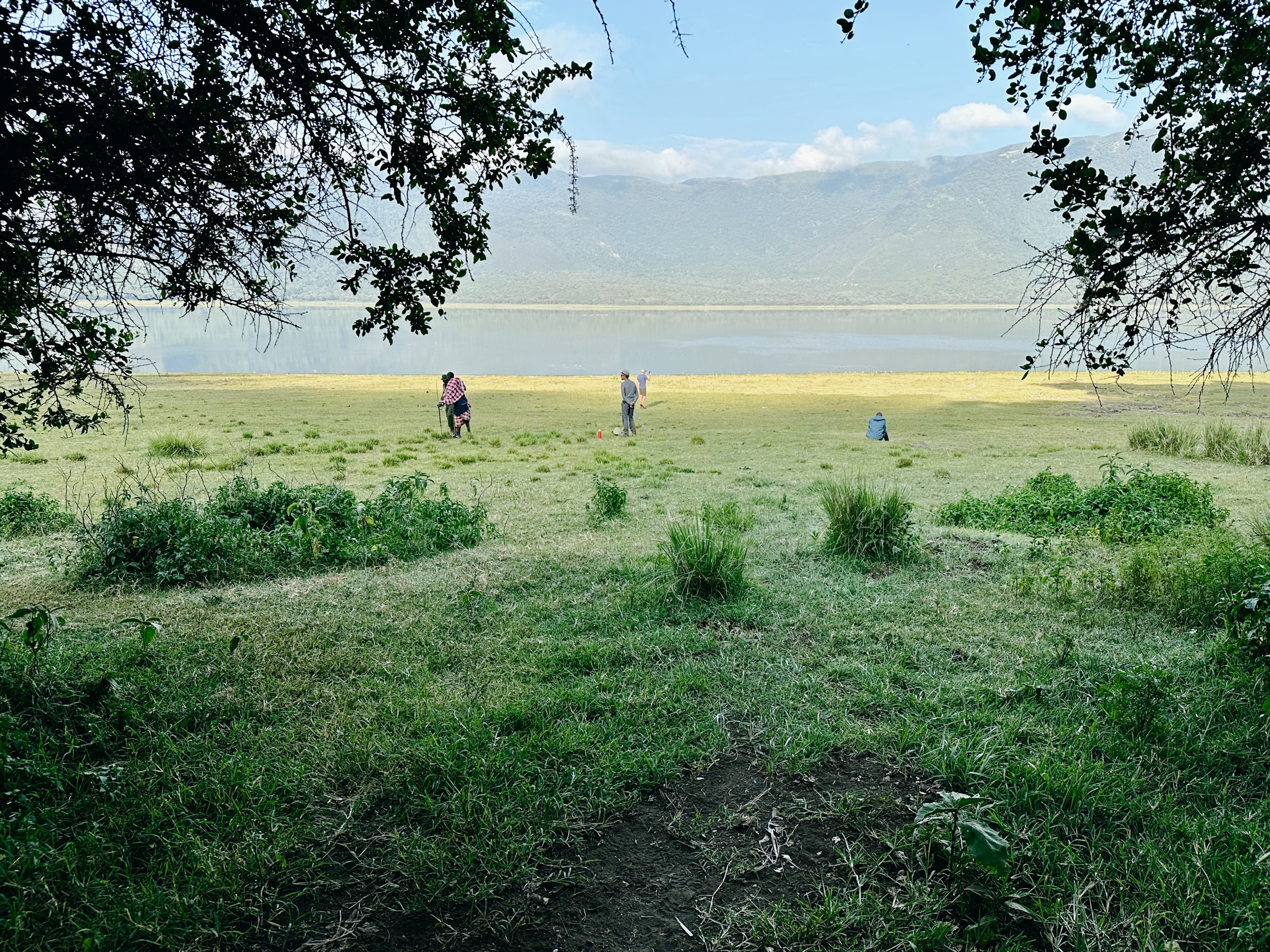
The Ngorongoro Highlands are a chain of volcanic craters, forests, high grasslands, and rift-edge viewpoints inside or beside the Ngorongoro Conservation Area. NCAA official pages were the strongest sources here; they often verify walking time and attraction dimensions rather than GPX-grade route stats.
Selection rationale
The five routes cover the main hiking character of the highlands: a crater-lake descent, a short crater-rim walk, a rainforest waterfall trail, the highest highland summit, and a fault-bounded gorge walk.
Summary table
| # | Hike | Country | Route type | Distance | Gain | Max elevation | Difficulty |
|---|---|---|---|---|---|---|---|
| 1 | Empakai Crater Rim to Crater Lake | Tanzania | Out-and-back | Unresolved | Unresolved | ~3,200 m west rim | Moderate/hard |
| 2 | Olmoti Crater and Munge Waterfall Viewpoint | Tanzania | Out-and-back / rim walk | Unresolved | Unresolved | ~3,080 m | Easy/moderate |
| 3 | Endoro Waterfalls and Elephant Caves | Tanzania | Out-and-back | 3.9 km, AllTrails | 147 m | 1,753 m | Easy/moderate |
| 4 | Mount Lolmalasin Summit | Tanzania | Out-and-back | Unresolved | Unresolved | ~3,700 m | Hard |
| 5 | Olkarien Gorge Walk | Tanzania | Out-and-back / through-gorge, unresolved | Unresolved (gorge ~8 km) | Unresolved | Unresolved | Moderate |
1. Empakai Crater Rim to Crater Lake
Snapshot
Itinerary
Descend through forested cliffs to the soda lake, then climb back to the rim.
Why it is essential
Crater-lake scenery, flamingoes, mist forest, and views toward Oldoinyo Lengai and Lake Natron.
Equipment
- Boots
- Rain layer
- Water
- Ranger
Hazards and notes
- Steep forest descent.
- Wildlife.
- Mist.
- Mandatory armed ranger.
GPX / KML links
| Source | URL | Format / access | Reuse status |
|---|---|---|---|
| NCAA Empakai page | — | Source description; no GPX/KML found | Route-file reuse unresolved |
External links
- NCAA — Empakai Crater
2. Olmoti Crater and Munge Waterfall Viewpoint

Snapshot
Itinerary
Forest stroll to the crater rim and viewpoint over Munge Waterfall and the shallow grass-covered caldera.
Why it is essential
The short, official highland crater walk.
Equipment
- Boots
- Rain shell
Hazards and notes
- Mist.
- Slippery trail.
- Altitude around 3,080 m.
GPX / KML links
| Source | URL | Format / access | Reuse status |
|---|---|---|---|
| NCAA Olmoti page | — | Source description; no GPX/KML found | Route-file reuse unresolved |
External links
- NCAA — Olmoti Crater
3. Endoro Waterfalls and Elephant Caves
Snapshot
Itinerary
Forest path through Elephant Caves to Endoro Waterfall. NCAA notes the entrance is about 6.5 km from Karatu and the waterfall is about 40 m.
Why it is essential
The accessible rainforest/cultural-geology walk of the highlands.
Equipment
- Boots
- Rain layer
Hazards and notes
- Steps.
- Slippery rock.
- Forest wildlife.
GPX / KML links
| Source | URL | Format / access | Reuse status |
|---|---|---|---|
| NCAA Northern Highland Forest Reserve page | — | Source description; no GPX/KML found | Route-file reuse unresolved |
| AllTrails source map | — | Route reference; specific URL not collated in this pass | GPX reuse unresolved |
External links
- NCAA — Northern Highland Forest Reserve / Endoro
4. Mount Lolmalasin Summit
Snapshot
Itinerary
Ascent of the highest mountain in the Ngorongoro Conservation Area, near Olmoti and the Empakai route corridor.
Why it is essential
Tanzania’s third-highest major summit after Kilimanjaro and Meru.
Equipment
- Full mountain day kit
- Navigation/guide
- Warm and rain layers
Hazards and notes
- Altitude.
- Weather exposure.
- Remote access.
- Route-finding.
GPX / KML links
| Source | URL | Format / access | Reuse status |
|---|---|---|---|
| NCAA Lolmalasin page | — | Source description; no GPX/KML found | Route-file reuse unresolved |
External links
- NCAA — Mount Lolmalasin
5. Olkarien Gorge Walk
Snapshot
Itinerary
Walk through or along the narrow quartzite gorge and vulture nesting cliffs.
Why it is essential
Fault-bounded rift geology and Rüppell’s griffon vulture habitat.
Equipment
- Boots
- Sun protection
- Water
- Binoculars
- Guide/ranger arrangements
Hazards and notes
- Narrow canyon.
- Heat.
- Wildlife.
- Nesting-bird sensitivity.
- Flash-flow risk in rain.
GPX / KML links
| Source | URL | Format / access | Reuse status |
|---|---|---|---|
| NCAA Olkarien Gorge page | — | Source description; no GPX/KML found | Route-file reuse unresolved |
External links
- NCAA — Olkarien Gorge
Missing data / follow-up work
- Direct GPX/KML downloads were not collated; NCAA pages verify walking time and attraction dimensions rather than GPX-grade route stats.
- Route distance, gain/loss, and time remain unresolved for Empakai (descent), Olmoti, Lolmalasin, and Olkarien.
- Route-landscape open-licence photos for Endoro Waterfalls, Lolmalasin, and Olkarien were not found in this pass.