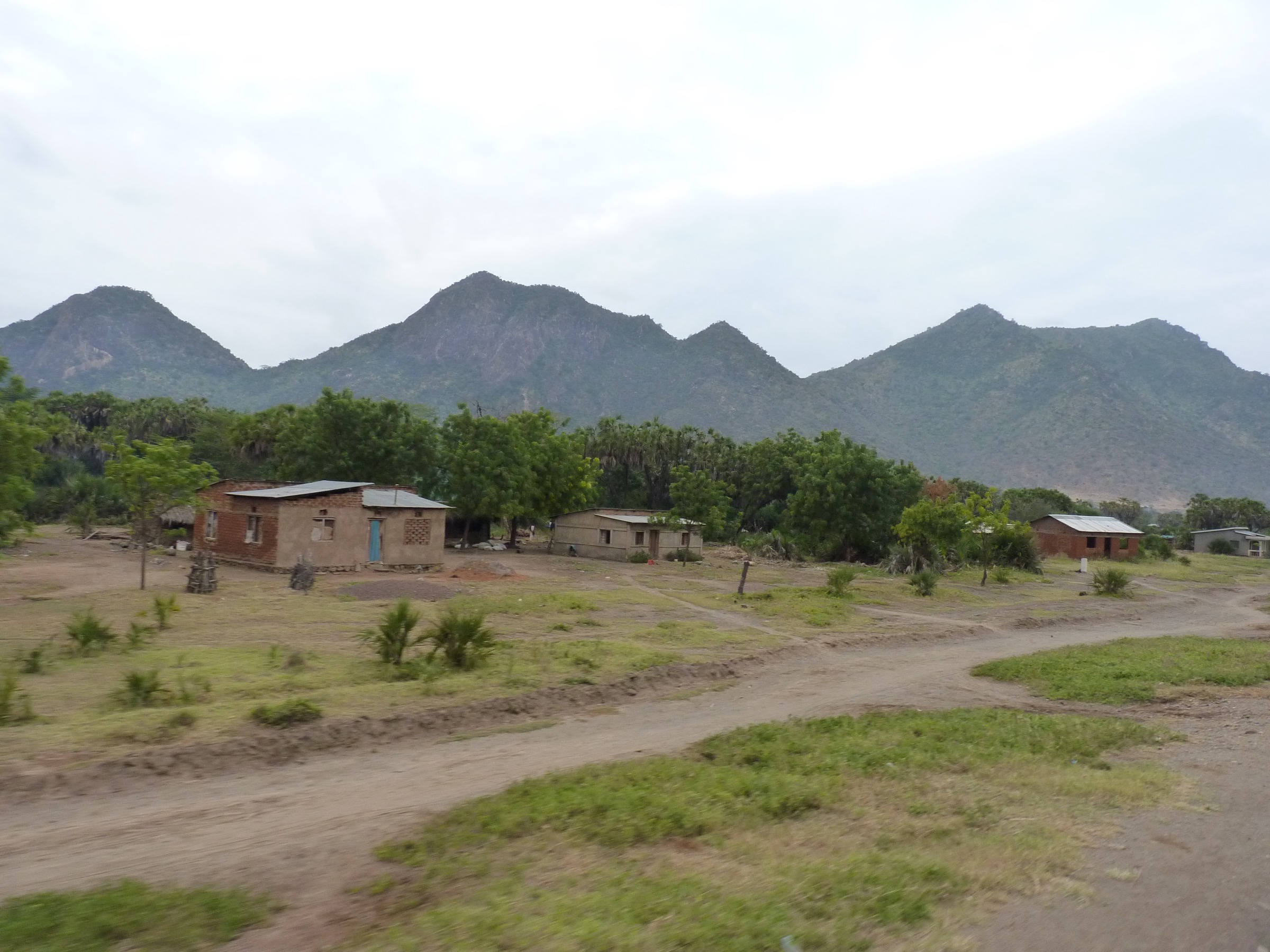

Regional overview
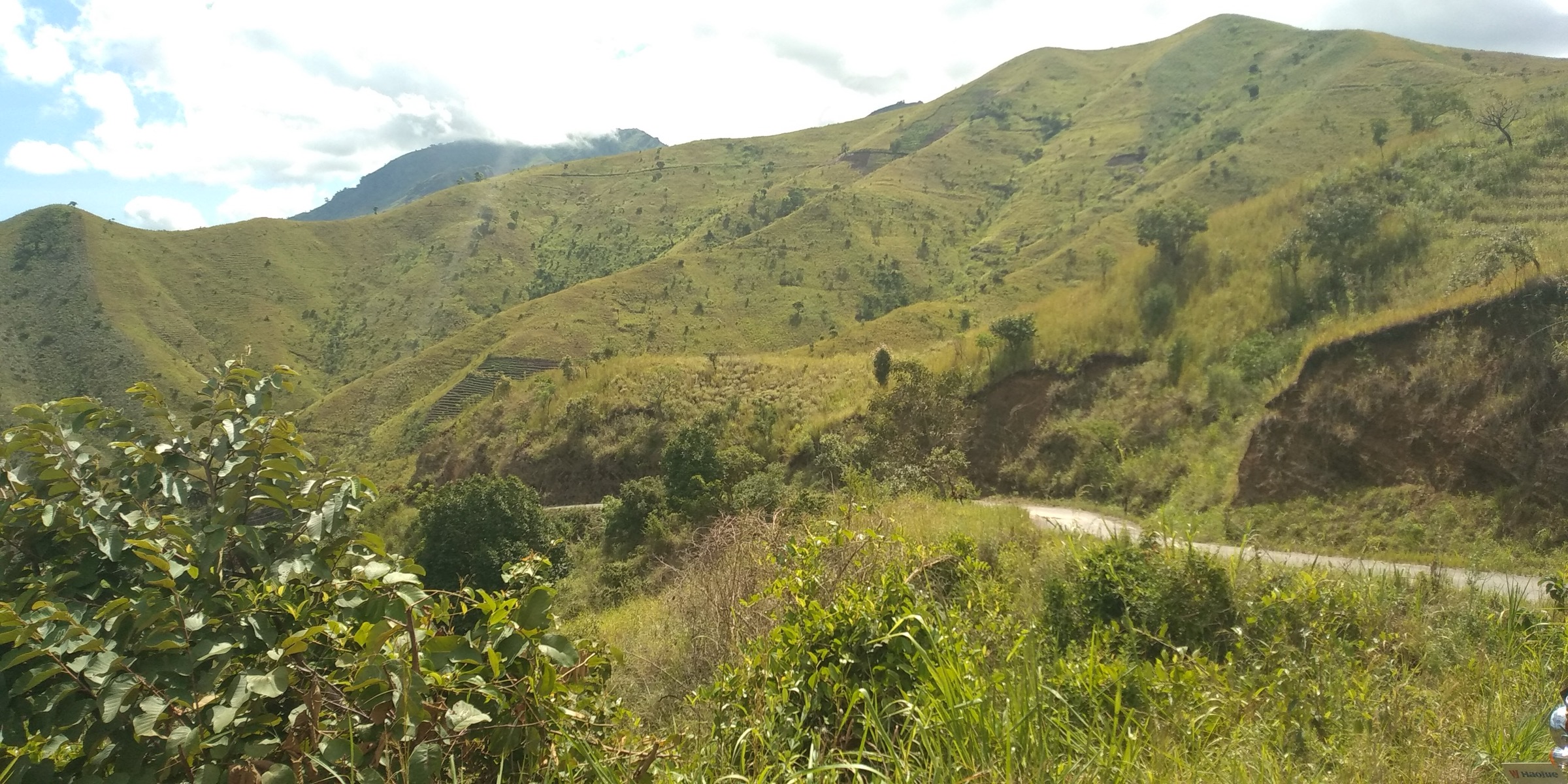
The Pare Mountains lie north of the Usambaras and south-east of Kilimanjaro, split into the North Pare and South Pare ranges. The North Pare high point is Kindoroko; the South Pare high point is Shengena Peak in the Chome forest area. Compared with the Usambaras, public hiking data is much thinner.
The walking character is forest reserve access, village highland paths, cultural sites, caves, and isolated summit objectives. The archived Eastern Arc profiles confirm the main protected forests, elevations, biodiversity values, and regional GIS archives, but not modern route descriptions or GPX tracks.
Selection rationale
The five selected route concepts cover the South Pare summit, Chome forest, the Mbaga cultural landscape, Tona/Dannholz colonial-era site, and the North Pare high point. Several are candidate entries because route statistics were not found in reliable public sources.
Summary table
| # | Hike | Country | Route type | Distance | Gain | Max elevation | Difficulty |
|---|---|---|---|---|---|---|---|
| 1 | Shengena Peak / Chome Forest ascent | Tanzania | Out-and-back or local traverse | Not verified | Not verified | 2,463-2,464 m | Hard |
| 2 | Chome Forest nature walk | Tanzania | Local loop/out-and-back | Not verified | Not verified | Not verified | Moderate |
| 3 | Mbaga - Mghimbi Caves | Tanzania | Local out-and-back/loop | Not verified | Not verified | Not verified | Moderate |
| 4 | Mbaga - Tona Moorland / Dannholz Cottage | Tanzania | Local out-and-back/loop | Not verified | Not verified | Not verified | Moderate |
| 5 | Kindoroko Peak / Kindoroko Forest | Tanzania | Out-and-back | Not verified | Not verified | 2,100-2,113 m | Moderate-hard |
1. Shengena Peak / Chome Forest Ascent
Snapshot
Itinerary
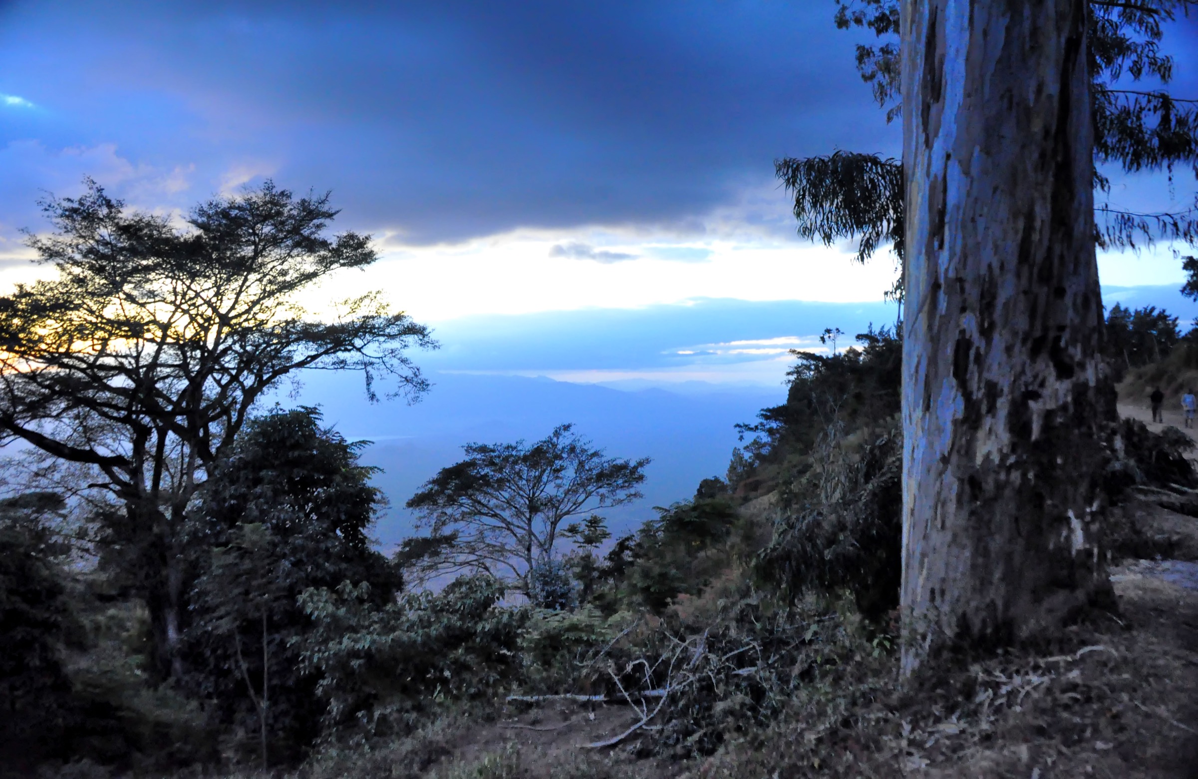
The intended route ascends through the Chome forest area to Shengena Peak, the South Pare high point. Exact trailhead, permitted line, and descent route require local confirmation.
Why it is essential
Shengena is the high point of the Pare Mountains and the key South Pare summit objective.
Equipment
Mountain hiking equipment; guide strongly recommended.
Hazards and notes
No current official trail statistics were found. Forest access, guides, fees, and route condition must be checked locally. Navigation may be difficult in forest and cloud.
GPX / KML links
| Source | URL | Format / access | Reuse status |
|---|---|---|---|
| Eastern Arc archive | easternarc.or.tz GIS | Regional GIS archive | Terms not stated on archived page; route-specific reuse unresolved |
| OSM Overpass check | OpenStreetMap hiking-route relation query, Pare bbox | OSM relation search (ODbL) | No hiking route relation found in this pass |
External links
2. Chome Forest Nature Walk
Snapshot
Itinerary
The route concept is a lower-level Chome forest walk focused on montane forest, bird habitat, and forest reserve scenery rather than a Shengena summit push.
Why it is essential
Chome is the key South Pare forest reserve and the main protected forest named in the archived Eastern Arc profile.
Equipment
Standard to mountain hiking equipment; rain protection and navigation backup.
Hazards and notes
Current route availability, guide requirements, and access rules were not verified. Fire, logging pressure, and forest disturbance are noted in the archived Eastern Arc profile.
GPX / KML links
| Source | URL | Format / access | Reuse status |
|---|---|---|---|
| Eastern Arc archive | easternarc.or.tz GIS | Regional GIS archive | Terms not stated on archived page; route-specific reuse unresolved |
External links
3. Mbaga - Mghimbi Caves
Snapshot
Itinerary
The route concept links Mbaga with Mghimbi Caves, described in secondary sources as a historical hiding place during the slave-trade period. Exact access line and current visitor arrangements are unresolved.
Why it is essential
Mghimbi adds the cultural-history dimension that the Pare Mountains are known for, balancing the forest and summit hikes.
Equipment
Standard hiking equipment; headtorch if cave entry is locally permitted.
Hazards and notes
Cave access, stability, local permissions, and guide requirements must be verified before publication.
GPX / KML links
| Source | URL | Format / access | Reuse status |
|---|---|---|---|
| Route-file status | No GPX/KML/source-map found in this pass | Unresolved | Unresolved |
External links
4. Mbaga - Tona Moorland / Dannholz Cottage
Snapshot
Itinerary
The route concept climbs from the Mbaga area toward Tona Moorland and Dannholz Cottage, a historical site associated with the Leipzig missionary Jacob Jenson Dannholz. Exact route geometry was not found.
Why it is essential
This walk represents the South Pare cultural landscape and colonial-era history rather than only natural features.
Equipment
Standard hiking equipment; local guide recommended.
Hazards and notes
Route access, building condition, permissions, and current visitor management are unresolved.
GPX / KML links
| Source | URL | Format / access | Reuse status |
|---|---|---|---|
| Route-file status | No GPX/KML/source-map found in this pass | Unresolved | Unresolved |
External links
5. Kindoroko Peak / Kindoroko Forest

Snapshot
Itinerary
The intended route climbs through the North Pare highlands and Kindoroko forest toward the North Pare high point. Exact modern access line was not verified.
Why it is essential
Kindoroko is the highest point of the North Pare Mountains and represents the northern half of the range.
Equipment
Mountain hiking equipment; guide strongly recommended.
Hazards and notes
No current route statistics or GPX were found. Confirm forest access and local guide arrangements before use.
GPX / KML links
| Source | URL | Format / access | Reuse status |
|---|---|---|---|
| Eastern Arc archive | easternarc.or.tz GIS | Regional GIS archive | Terms not stated on archived page; route-specific reuse unresolved |
External links
Missing data / follow-up work
- Pare route statistics remain unresolved for all five entries.
- No route-specific GPX/KML files were found; archived regional GIS data exists for North and South Pare.
- No current official visitor rules, fees, guides, or trailhead details were found.
- Four of five photo sets remain unresolved.
External links
| Resource | Link |
|---|---|
| Archived Eastern Arc — North Pare profile | easternarc.or.tz/npare |
| Archived Eastern Arc — South Pare profile | easternarc.or.tz/spare |