

Regional overview
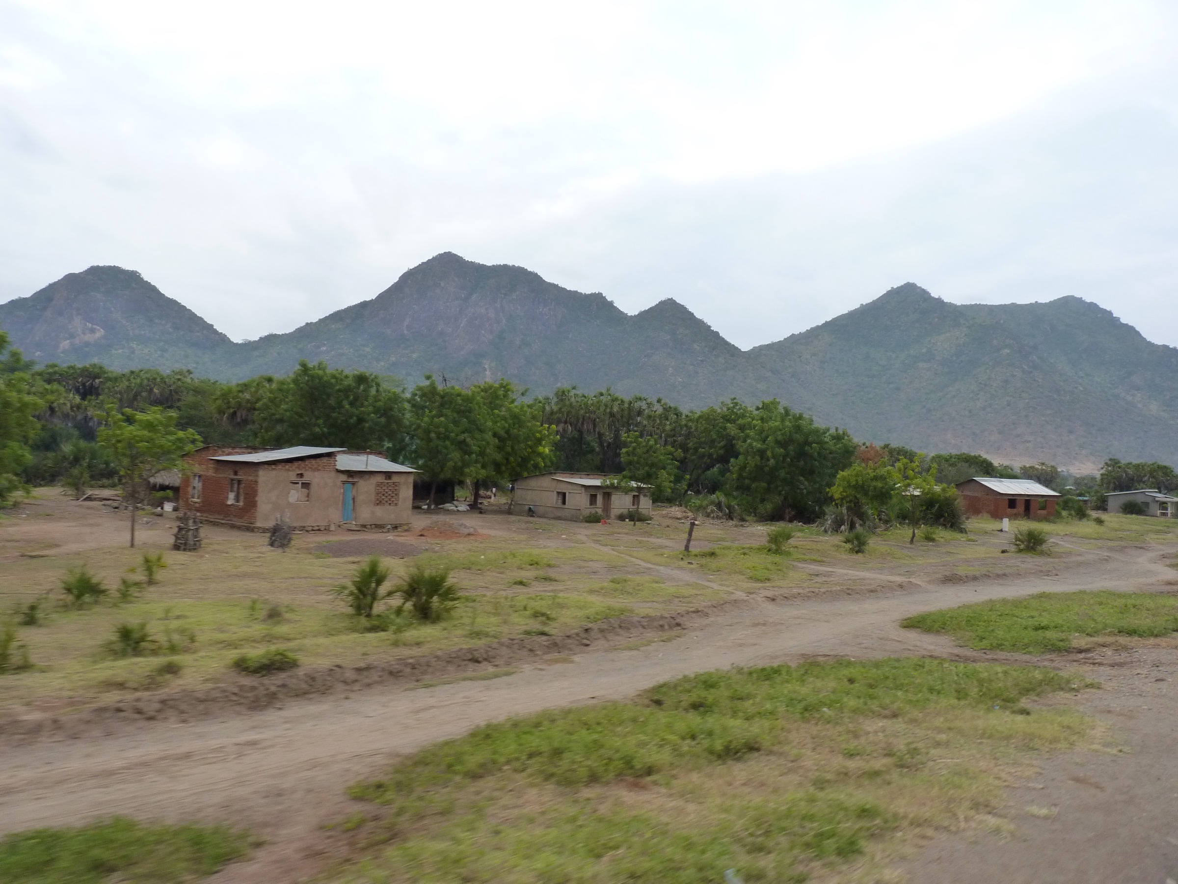
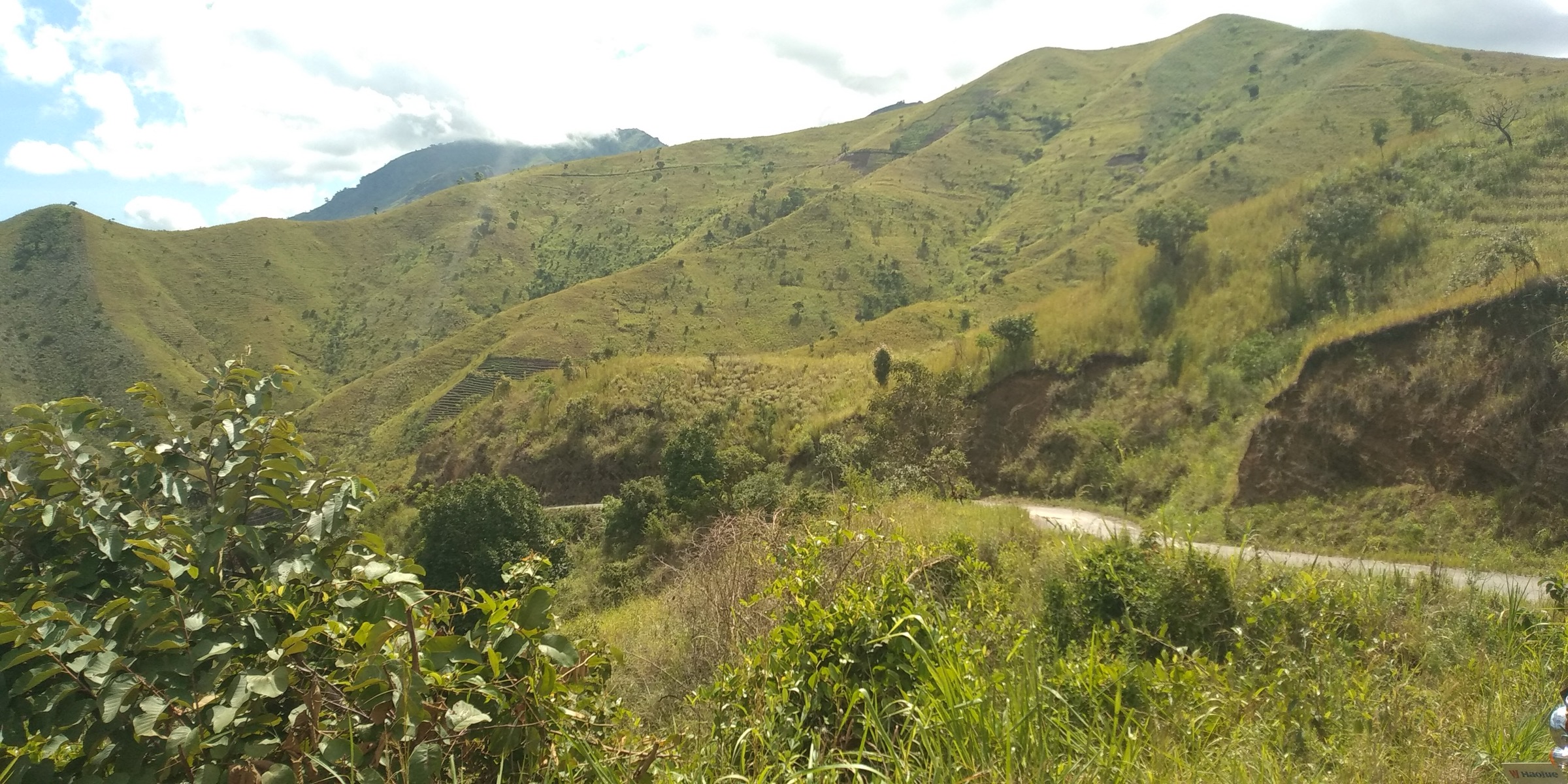
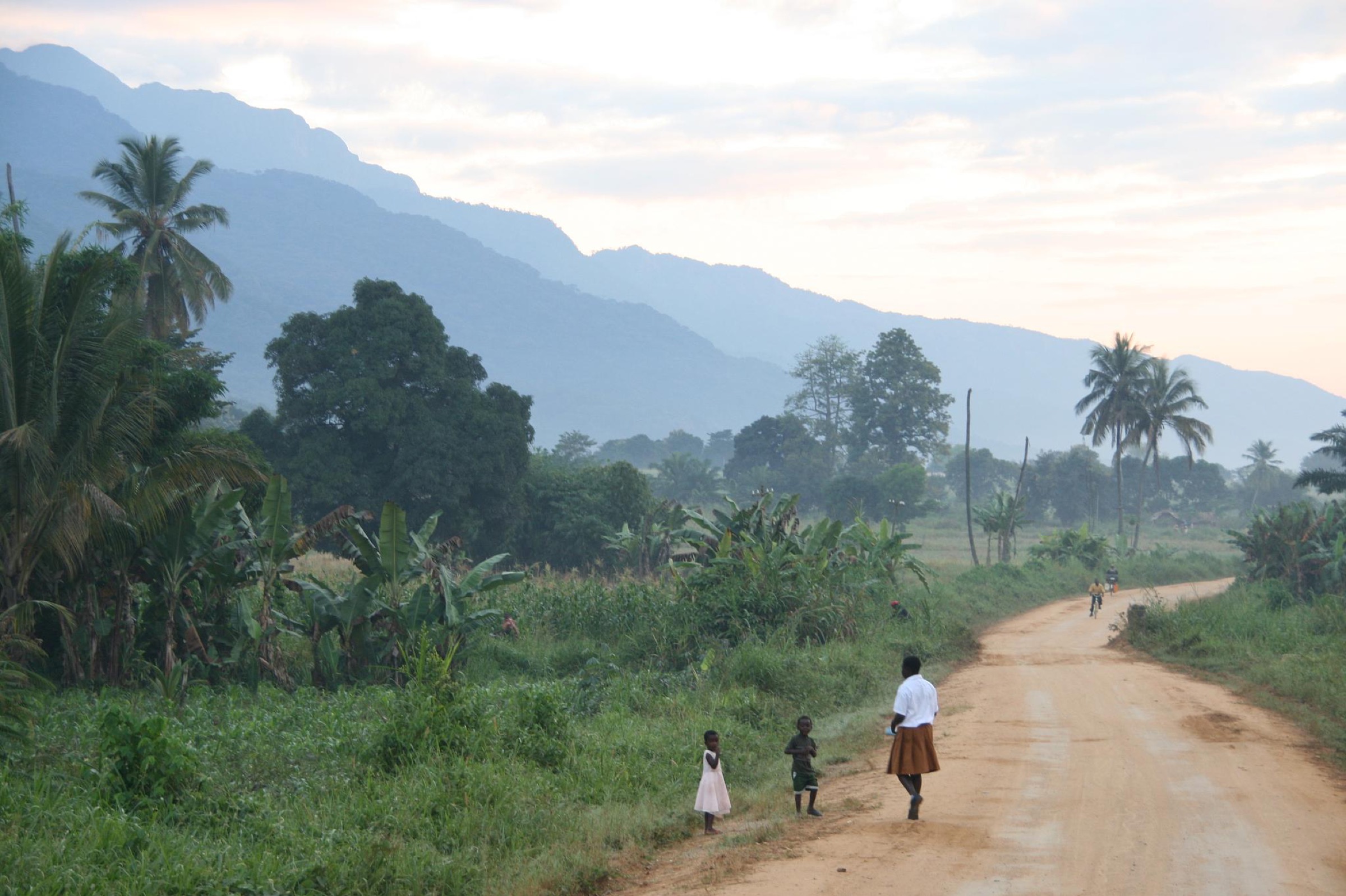
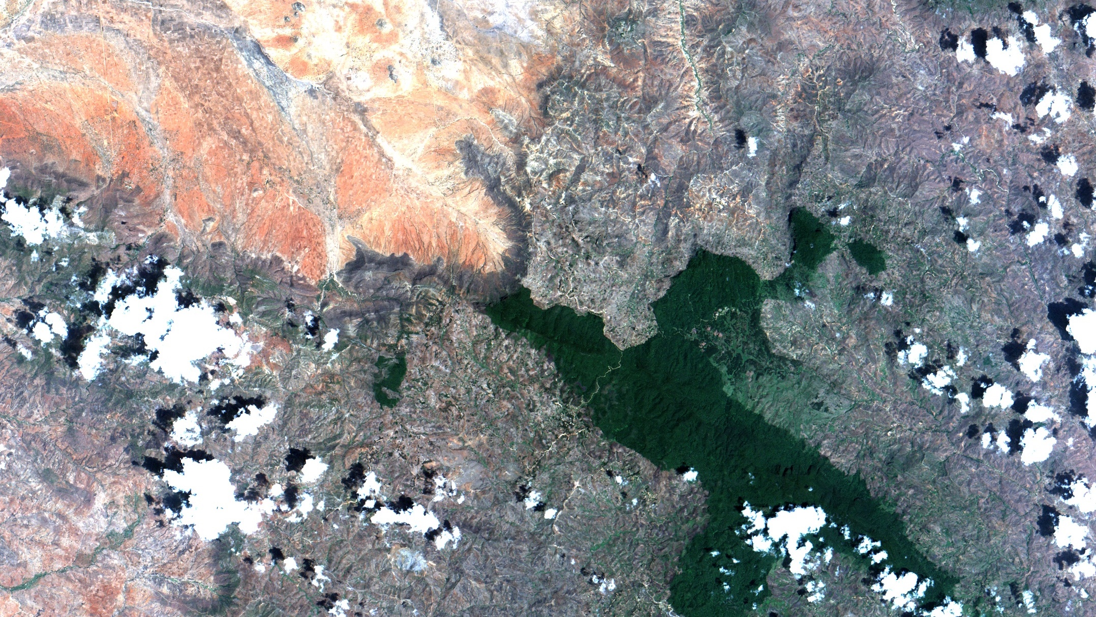
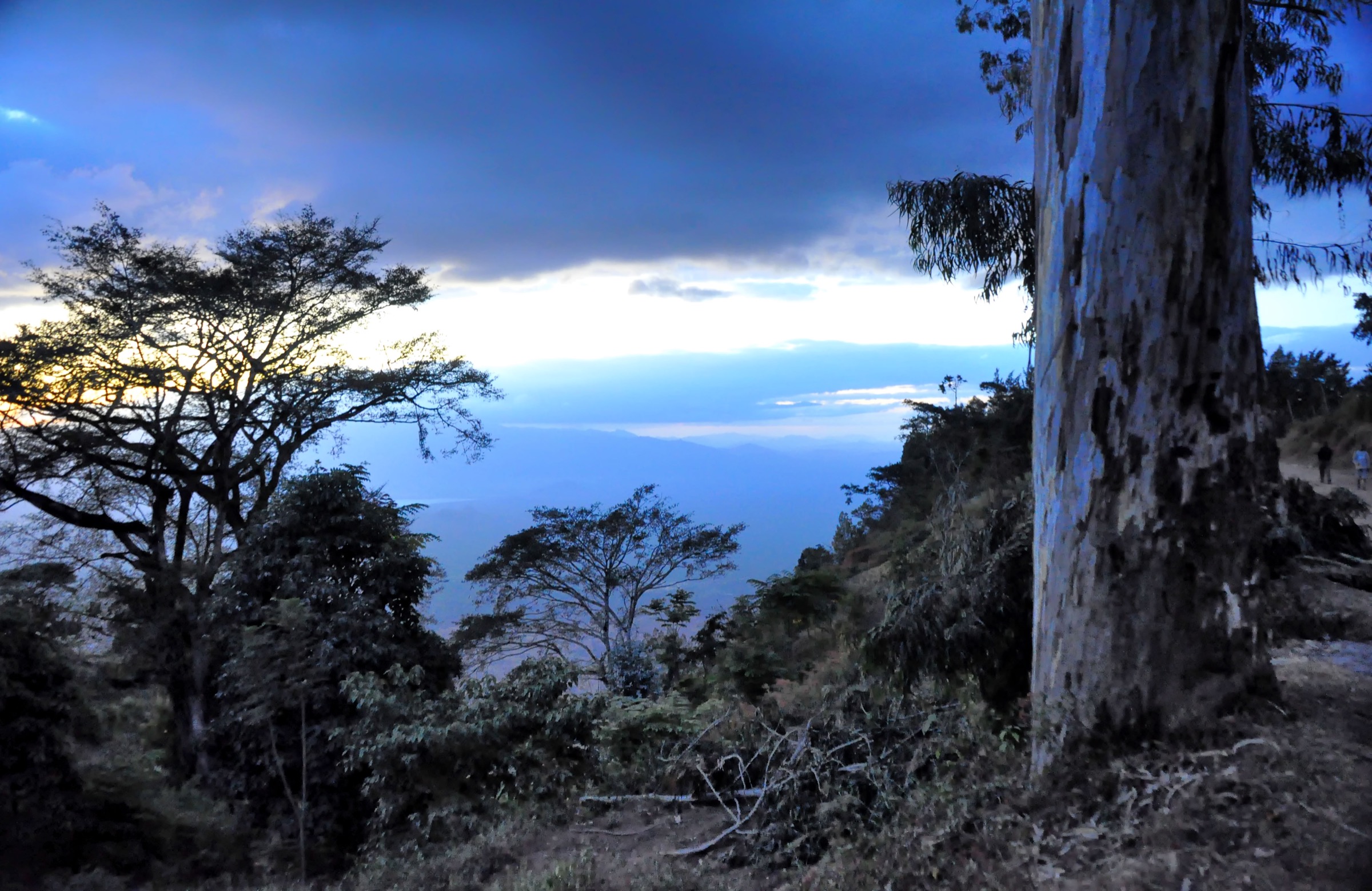
The Usambara Mountains form the easternmost part of Tanzania’s Eastern Arc. The range is split into the higher, drier West Usambaras around Lushoto and the lower, wetter East Usambaras around Amani. The walking character is a mix of escarpment viewpoints, village-to-village footpaths, montane forest, caves, tea/coffee landscapes, and biodiversity-focused forest walks.
The main hiking centres are Lushoto, Mambo/Rangwi, and Amani. The archived Eastern Arc profile lists Magamba Nature Reserve and Mazumbai private forest in the West Usambaras, and Amani and Nilo Nature Reserves in the East Usambaras. Normal hiking is possible year-round, but paths can be muddy in the rains and mist can remove escarpment views.
Selection rationale
The selection balances the classic Lushoto viewpoint walk, a montane-forest route, a short escarpment viewpoint, a highland village traverse, and an East Usambara forest/waterfall loop.
Summary table
| # | Hike | Country | Route type | Distance | Gain | Max elevation | Difficulty |
|---|---|---|---|---|---|---|---|
| 1 | Lushoto - Irente Viewpoint | Tanzania | Loop | 9.5 km | 323 m | 1,476 m | Moderate |
| 2 | Lushoto - Magamba Forest | Tanzania | Point-to-point | 10.9 km | 657 m | 1,814 m | Moderate |
| 3 | Mambo - Mambo Viewpoint | Tanzania | Out-and-back | 4.0 km | 202 m | 1,859 m | Moderate |
| 4 | Rangwi Convent - Mambo | Tanzania | Point-to-point | 9.8 km | 466 m | 2,030 m | Moderate |
| 5 | Amani - Derema | Tanzania | Loop | 7.9 km | 437 m | 881 m | Moderate |
1. Lushoto - Irente Viewpoint

Snapshot
Itinerary
The route leaves Lushoto on paths and minor roads toward Irente, climbs through farmed hillsides and settlement margins, and reaches the escarpment viewpoint overlooking the plains below the West Usambara. The return completes a loop to Lushoto.
Why it is essential
Irente is the best-known Lushoto viewpoint walk and gives the clearest short introduction to the West Usambara escarpment landscape.
Equipment
Standard hiking equipment; sturdy footwear recommended after rain.
Hazards and notes
Steep drops occur near the viewpoint. Mist, rain, and slippery clay paths can reduce safety and visibility. Remain on established paths around cultivated land and settlement areas.
GPX / KML links
| Source | URL | Format / access | Reuse status |
|---|---|---|---|
| AllTrails source map | alltrails.com | Source map | AllTrails terms; direct GPX not verified; route source only |
External links
- AllTrails — Irente Viewpoint Hike
- Archived Eastern Arc — West Usambara profile
- Wikimedia Commons — Irente.jpg
2. Lushoto - Magamba Forest
Snapshot
Itinerary
The route climbs from Lushoto toward Magamba forest, passing cultivated slopes before entering forested ground and cave/viewpoint terrain noted in the AllTrails listing.
Why it is essential
Magamba is the principal West Usambara forest reserve close to Lushoto and represents the montane-forest side of the range.
Equipment
Mountain hiking equipment; poles useful on muddy descents.
Hazards and notes
Forest paths can be wet and confusing. A local guide is recommended where reserve access, paths, or village routes are unclear. Check current reserve access locally.
GPX / KML links
| Source | URL | Format / access | Reuse status |
|---|---|---|---|
| AllTrails source map | alltrails.com | Source map | AllTrails terms; direct GPX not verified; route source only |
External links
3. Mambo - Mambo Viewpoint
Snapshot
Itinerary
The route climbs from Mambo to the escarpment viewpoint, then returns by the same line. The walking is short but gains height quickly on local paths and tracks.
Why it is essential
Mambo gives a compact version of the high West Usambara escarpment experience and is a natural counterpart to the longer Lushoto walks.
Equipment
Standard hiking equipment; sun protection and water.
Hazards and notes
Exposed edges near the viewpoint require care. Navigation is simpler than the longer traverses but should still be confirmed locally.
GPX / KML links
| Source | URL | Format / access | Reuse status |
|---|---|---|---|
| AllTrails source map | alltrails.com | Source map | AllTrails terms; direct GPX not verified; route source only |
External links
4. Rangwi Convent - Mambo
Snapshot
Itinerary
The route traverses highland country from Rangwi toward Mambo, using paths and local tracks through forest-edge and cultivated landscapes before finishing near the escarpment settlement of Mambo.
Why it is essential
This is the strongest sourced village-to-village day traverse found in the West Usambaras, representing the inhabited highland walking style of the range.
Equipment
Mountain hiking equipment; navigation backup and sufficient water.
Hazards and notes
Route-finding and transport logistics are the main issues. Use a local guide unless the route has been independently loaded and checked.
GPX / KML links
| Source | URL | Format / access | Reuse status |
|---|---|---|---|
| AllTrails source map | alltrails.com | Source map | AllTrails terms; direct GPX not verified; route source only |
External links
5. Amani - Derema
Snapshot
Itinerary
The route makes a loop from Amani toward Derema, combining forest, views, and waterfall terrain within the wetter East Usambara landscape.
Why it is essential
Amani is the signature East Usambara forest destination, and this sourced loop gives the catalogue an East Usambara hike rather than only Lushoto-area walks.
Equipment
Mountain hiking equipment; insect protection and rain layer recommended.
Hazards and notes
Forest trails may be muddy, slippery, and leech-prone in wet conditions. Reserve entry, guide requirements, and fees need local confirmation because the live TFS page was offline.
GPX / KML links
| Source | URL | Format / access | Reuse status |
|---|---|---|---|
| AllTrails source map | alltrails.com | Source map | AllTrails terms; direct GPX not verified; route source only |
External links
Missing data / follow-up work
- Direct GPX downloads were not verified for any Usambara route.
- Current TFS reserve-entry rules, fees, guide requirements, and dog rules need local confirmation.
- Licence-compatible photos remain unresolved for Magamba, Mambo, Rangwi-Mambo, and Amani-Derema.
External links
| Resource | Link |
|---|---|
| Archived Eastern Arc — West Usambara profile | easternarc.or.tz/wusam |
| Archived Eastern Arc — East Usambara profile | easternarc.or.tz/eusam |