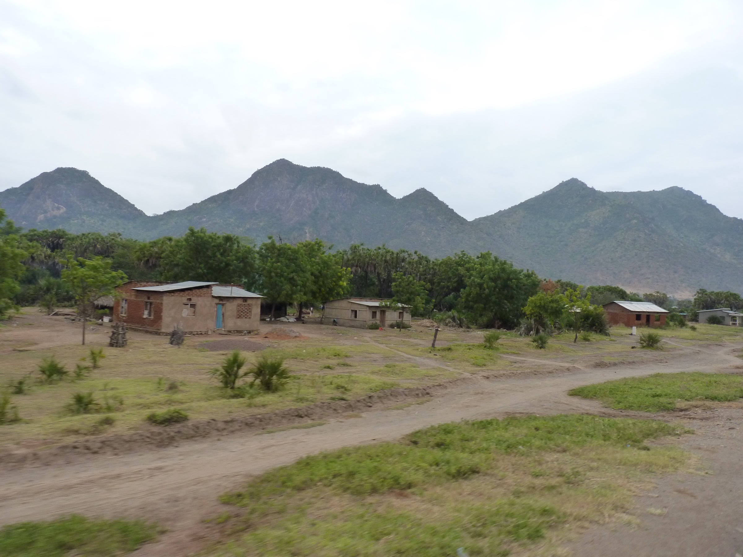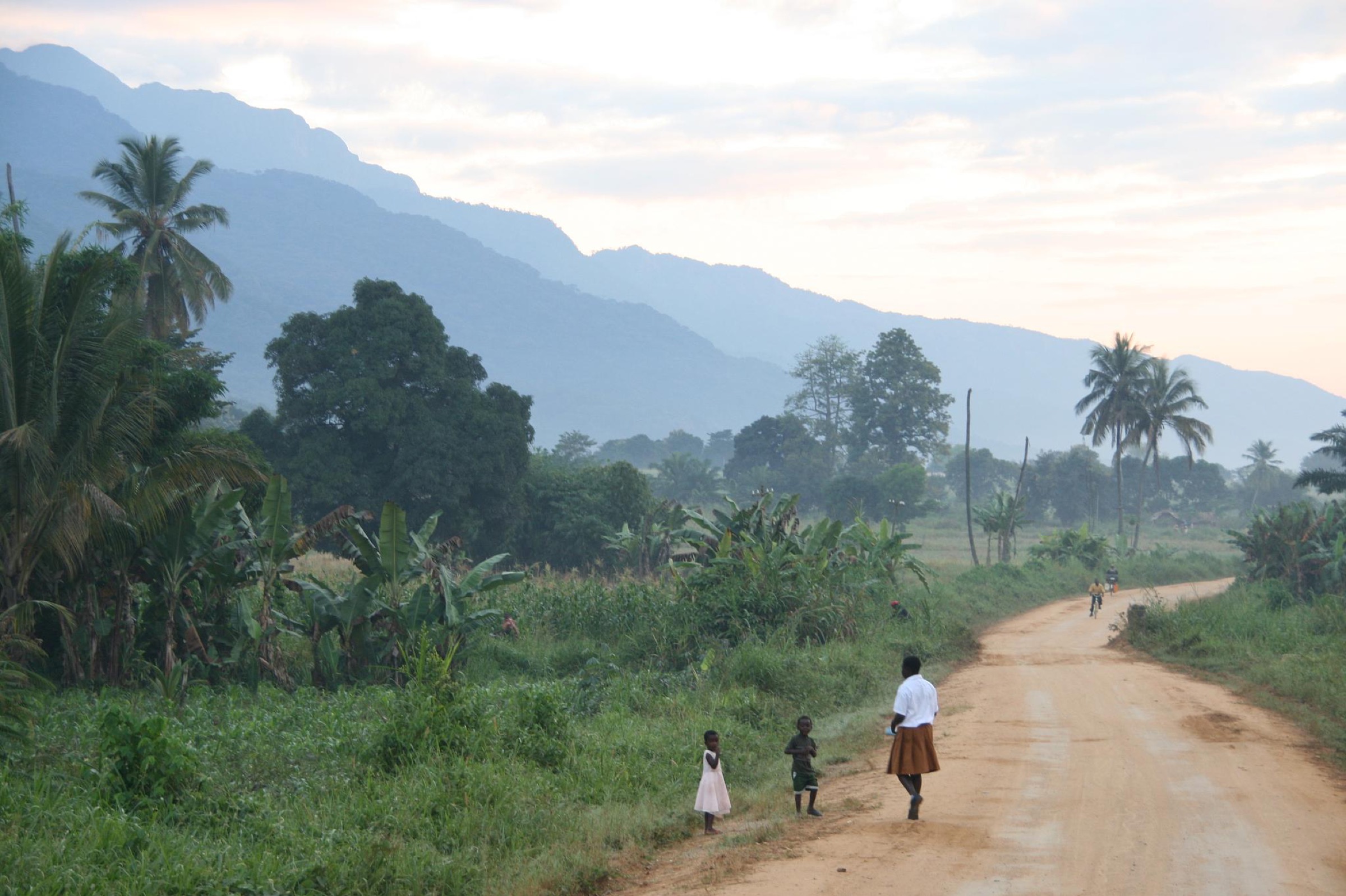
Regional overview
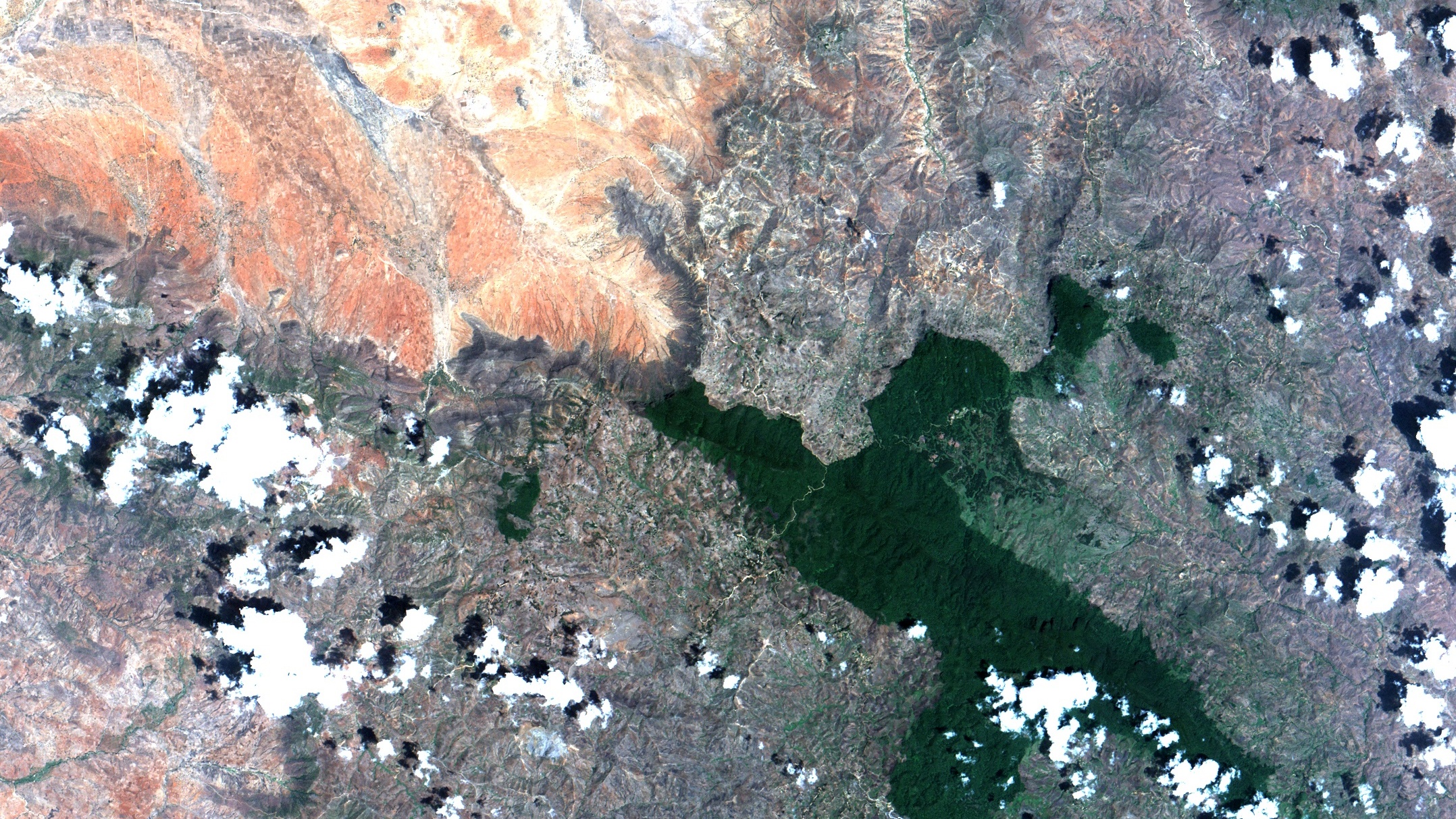
The Rubeho Mountains lie in central Tanzania, straddling the Dodoma and Morogoro regions between the Ukaguru block to the north and the Udzungwa block to the south. The high point is Mangalisa at 2,286 m, with secondary peaks at Mafwemiro (2,152 m) and Ledengombe (1,941 m). The archived Eastern Arc profile records four key catchment forest reserves: Ukwiva (54,635 ha), Mangalisa (4,988 ha), Mafwemiro (3,238 ha) and Pala Mountain (108.34 km²).
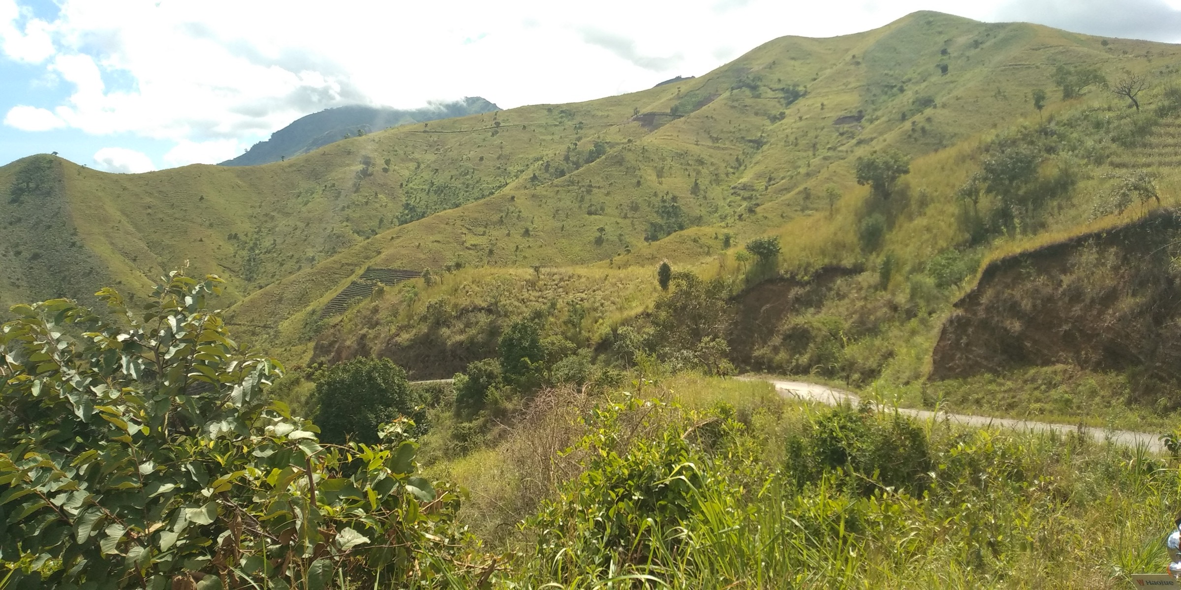
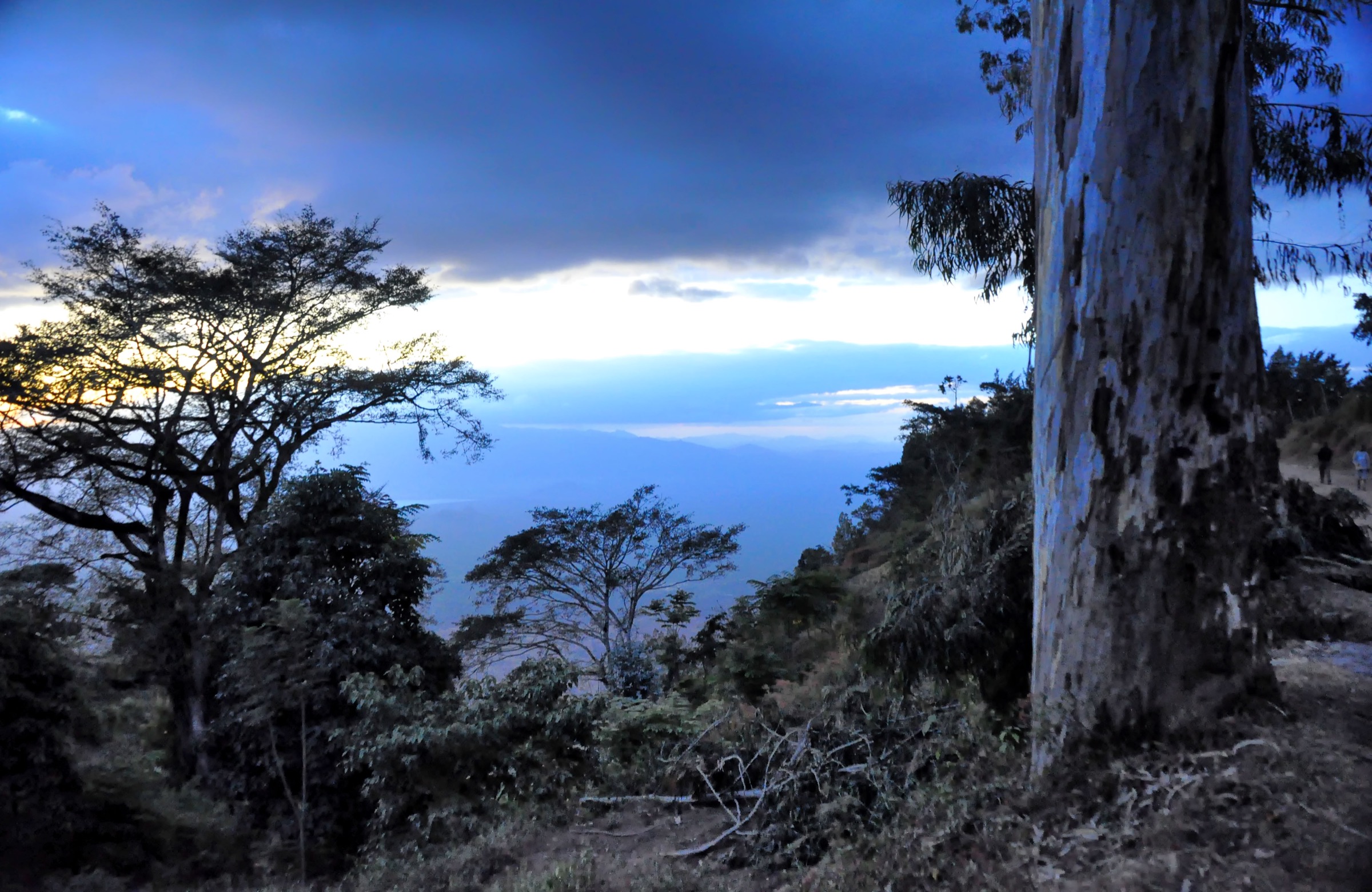
Walking character is forest reserve access, village highland paths, and rarely visited summit objectives. The range is biologically important — it holds endemic Rubeho warbler, Rubeho partridge and Rubeho akalat populations — but public hiking infrastructure is essentially absent. Most route concepts here require local guides and forest-reserve permission.
Selection rationale
The five selected route concepts cover the range high point, the most accessible montane forest reserve, the largest catchment forest, the south-eastern Pala block, and a representative secondary summit. All are candidate entries because route statistics and trailhead details were not found in reliable public sources.
Summary table
| # | Hike | Country | Route type | Distance | Gain | Max elevation | Difficulty |
|---|---|---|---|---|---|---|---|
| 1 | Mangalisa Peak | Tanzania | Out-and-back | Not verified | Not verified | 2,286 m | Hard |
| 2 | Mafwemiro Forest from Uzunguni | Tanzania | Out-and-back/loop | Not verified | Not verified | 2,152 m | Moderate-hard |
| 3 | Ukwiva Forest Reserve walk | Tanzania | Local loop/out-and-back | Not verified | Not verified | Not verified | Moderate |
| 4 | Pala Mountain Forest Reserve | Tanzania | Out-and-back | Not verified | Not verified | Not verified | Moderate-hard |
| 5 | Ledengombe Peak | Tanzania | Out-and-back | Not verified | Not verified | 1,941 m | Moderate-hard |
1. Mangalisa Peak
Snapshot
Itinerary
The intended route ascends through the Mangalisa Forest Reserve to the Mangalisa summit, the high point of the Rubeho range. Exact trailhead, line and descent require local confirmation.
Why it is essential
Mangalisa is the high point of the Rubeho Mountains and the defining summit objective of the range.
Equipment
Mountain hiking equipment; guide strongly recommended.
Hazards and notes
No current official trail statistics were found. Forest access, permits, and route condition must be checked locally. Navigation in cloud forest is difficult.
GPX / KML links
| Source | URL | Format / access | Reuse status |
|---|---|---|---|
| Eastern Arc archive | easternarc.or.tz Rubeho profile | Archived regional profile | Terms not stated on archived page; route-specific reuse unresolved |
| OSM Overpass check | OpenStreetMap hiking-route relation query, Rubeho bbox | OSM relation search (ODbL) | No hiking route relation found in this pass |
External links
2. Mafwemiro Forest from Uzunguni
Snapshot
Itinerary
The route concept climbs from the Uzunguni area into the Mafwemiro catchment forest reserve, an Eastern Arc forest block of 3,238 ha containing the Mafwemiro summit at 2,152 m. The forest is named in biological surveys but no public trail description has been located.
Why it is essential
Mafwemiro is a key biodiversity hotspot within the Rubeho block and represents the northern catchment forests of the range.
Equipment
Mountain hiking equipment; rain protection and navigation backup.
Hazards and notes
Current route availability, guide arrangements and access rules were not verified. Cloud forest navigation is demanding.
GPX / KML links
| Source | URL | Format / access | Reuse status |
|---|---|---|---|
| Route-file status | No GPX/KML/source-map found in this pass | Unresolved | Unresolved |
External links
3. Ukwiva Forest Reserve walk
Snapshot
Itinerary
The route concept is a lower-level forest walk in the Ukwiva Forest Reserve, the largest of the Rubeho catchment forests at 54,635 ha. Focus is on montane forest, bird habitat and reserve scenery rather than a summit objective.
Why it is essential
Ukwiva is the largest catchment forest reserve in the Rubeho block and represents the range’s primary forest landscape.
Equipment
Standard to mountain hiking equipment; rain protection.
Hazards and notes
Current route availability, guide requirements and access rules were not verified. Logging pressure and forest disturbance noted in archived Eastern Arc profile.
GPX / KML links
| Source | URL | Format / access | Reuse status |
|---|---|---|---|
| Route-file status | No GPX/KML/source-map found in this pass | Unresolved | Unresolved |
External links
4. Pala Mountain Forest Reserve
Snapshot
Itinerary
The route concept ascends into the Pala Mountain Forest Reserve, a 108.34 km² block on the south-eastern flank of the Rubeho range adjoining the Morogoro lowlands. Specific trail line is unresolved.
Why it is essential
Pala Mountain is geographically distinct from the central and northern Rubeho blocks and represents the south-eastern face of the range.
Equipment
Mountain hiking equipment; local guide essential.
Hazards and notes
No published route information located. Access permissions and guide arrangements must be confirmed locally.
GPX / KML links
| Source | URL | Format / access | Reuse status |
|---|---|---|---|
| Route-file status | No GPX/KML/source-map found in this pass | Unresolved | Unresolved |
External links
5. Ledengombe Peak
Snapshot
Itinerary
The intended route climbs through highland village land toward the Ledengombe summit. No formal trail description has been located.
Why it is essential
Ledengombe provides a secondary summit objective at the lower end of the Rubeho’s named peaks and rounds out a representative cross-section of the range.
Equipment
Mountain hiking equipment; guide recommended.
Hazards and notes
No current route statistics or GPX were found. Confirm access and local guide arrangements before use.
GPX / KML links
| Source | URL | Format / access | Reuse status |
|---|---|---|---|
| Route-file status | No GPX/KML/source-map found in this pass | Unresolved | Unresolved |
External links
Missing data / follow-up work
- Rubeho route statistics remain unresolved for all five entries.
- No route-specific GPX/KML files were found.
- No current official visitor rules, fees, guides, or trailhead details were found.
- No licence-compatible cover photograph located in this pass.
- Forest reserve names cross-checked against archived Eastern Arc profile but field verification still needed.
External links
| Resource | Link |
|---|---|
| Archived Eastern Arc — Rubeho profile | easternarc.or.tz/rubeho |
| Wikipedia — Rubeho Mountains | en.wikipedia.org |