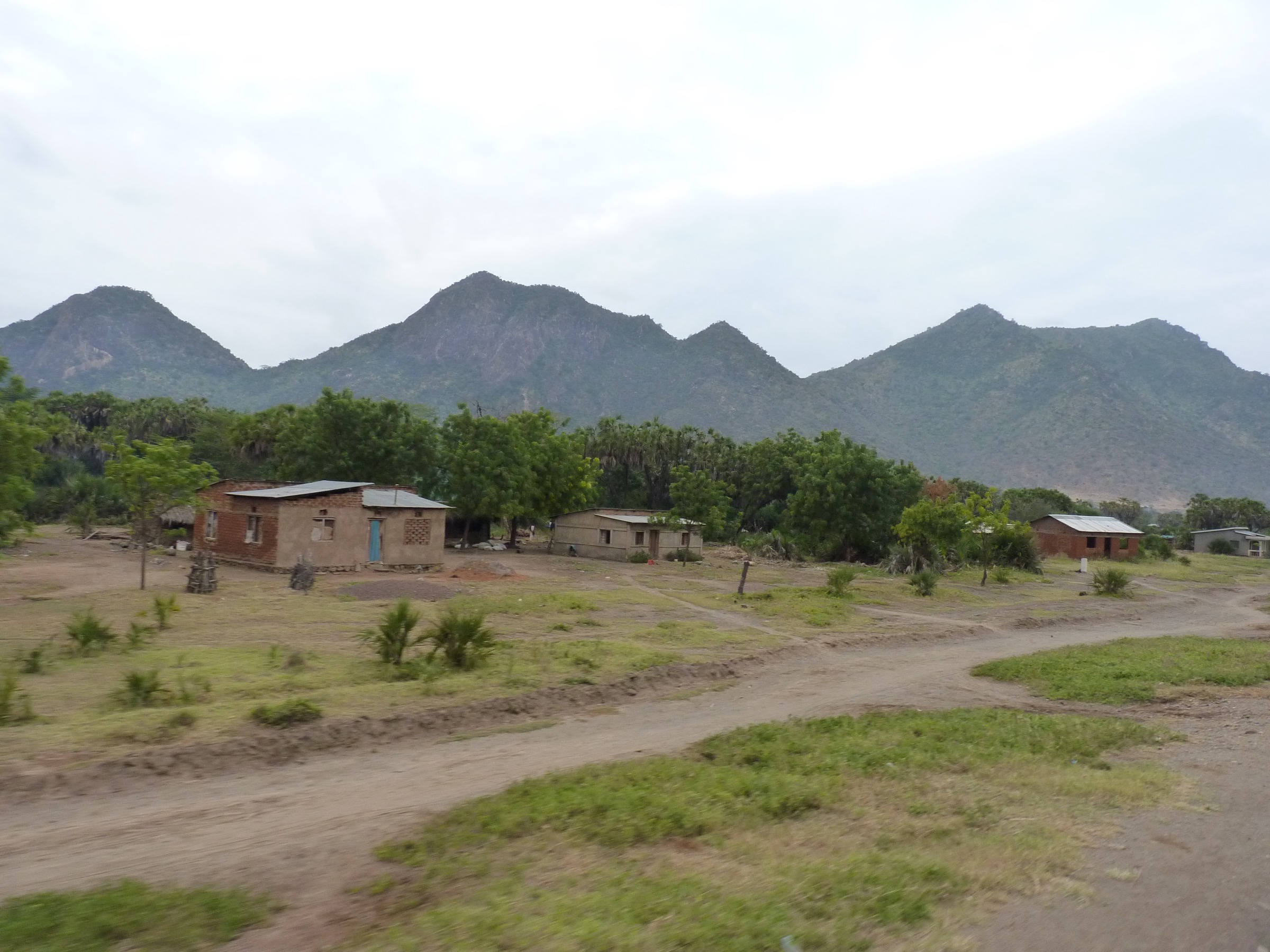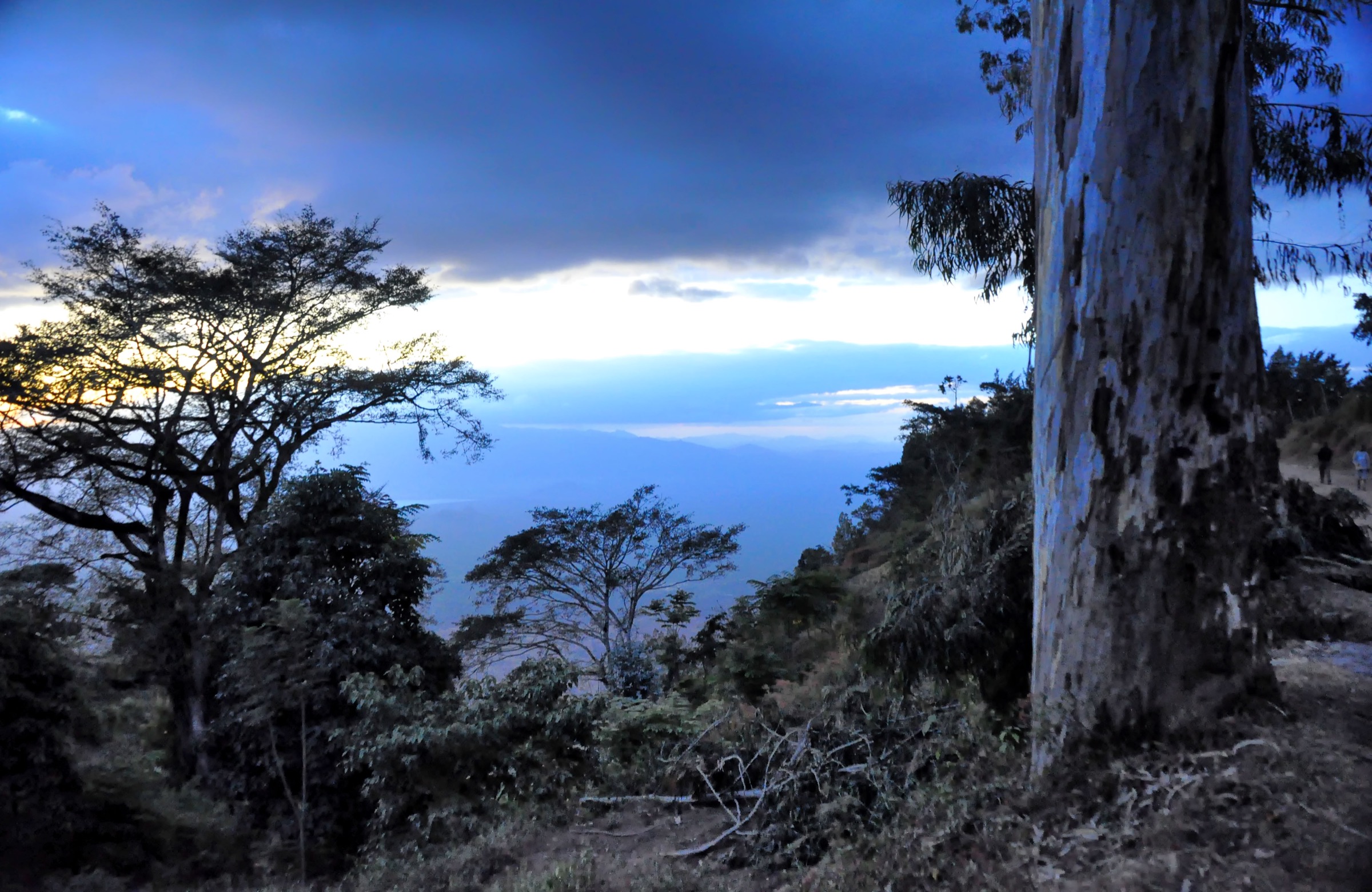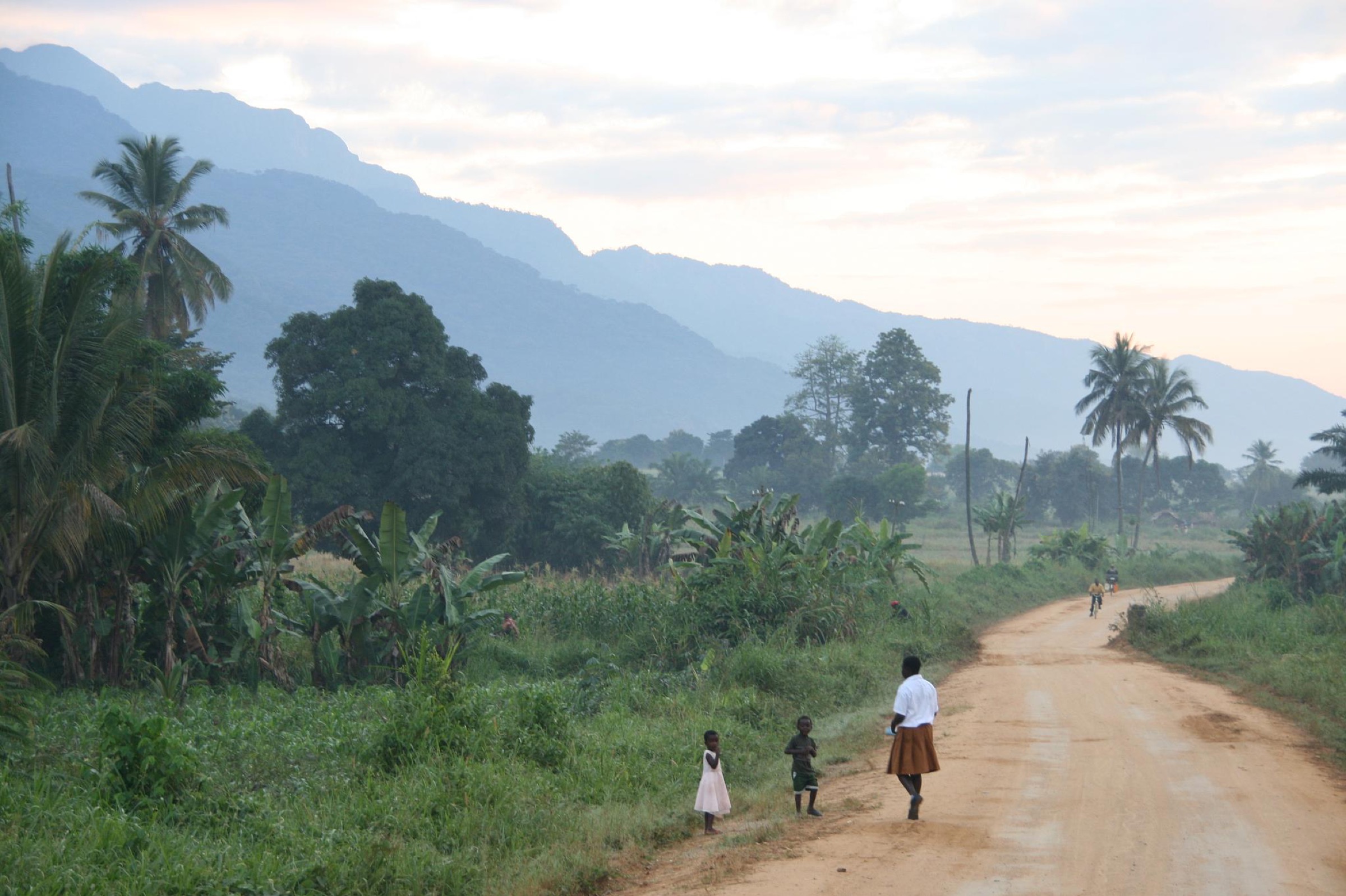

Regional overview
The Uluguru Mountains rise immediately above Morogoro, with a main north-south ridge and several outlying blocks. The archived Eastern Arc profile places the high point at about 2,630 m and describes the area as a major Eastern Arc water-catchment and biodiversity landscape.
The walking character is steep tropical hill walking from the Morogoro side, forest reserve access, waterfalls, historic Morningside, and high ridge or summit objectives such as Bondwa, Lupanga, and Lukwangule. Public route statistics are limited; OSM confirms several named peaks, waterfalls, and campsites, but no hiking-route relation was found in the Uluguru bbox during this pass.
Selection rationale
The selection covers the classic Morningside/Bondwa area, the Morogoro-facing Lupanga summit, a waterfall objective, a Bunduki forest/waterfall route, and the high southern ridge objective of Lukwangule.
Summary table
| # | Hike | Country | Route type | Distance | Gain | Max elevation | Difficulty |
|---|---|---|---|---|---|---|---|
| 1 | Morningside - Bondwa Peak | Tanzania | Out-and-back | Not verified | Not verified | 2,170 m | Hard |
| 2 | Lupanga Peak | Tanzania | Out-and-back | Not verified | Not verified | 2,146 m | Hard |
| 3 | Chuma Waterfalls | Tanzania | Out-and-back/local walk | Not verified | Not verified | Not verified | Easy-moderate |
| 4 | Bunduki - Hululu Falls | Tanzania | Out-and-back/local walk | Not verified | Not verified | Not verified | Moderate |
| 5 | Lukwangule Peak from Bunduki side | Tanzania | Long out-and-back/traverse | Not verified | Not verified | 2,656 m | Hard |
1. Morningside - Bondwa Peak

Snapshot
Itinerary
The route concept starts at historic Morningside and climbs toward Bondwa Peak on the Uluguru ridge. The exact public route line and current reserve access were not verified.
Why it is essential
Bondwa is one of the named Morogoro-facing Uluguru summits and is tied to the classic Morningside approach.
Equipment
Mountain hiking equipment; guide strongly recommended.
Hazards and notes
Steep forested terrain, cloud, rain, and route-finding are the main issues. Verify reserve access and guide requirements locally.
GPX / KML links
| Source | URL | Format / access | Reuse status |
|---|---|---|---|
| OSM Bondwa Peak | openstreetmap.org/node/3188060869 | Source node (ODbL) | Not a route file; attribution required |
| OSM Morningside | openstreetmap.org/node/4919701225 | Source node (ODbL) | Not a route file; attribution required |
External links
2. Lupanga Peak
Snapshot
Itinerary
The route concept climbs from the Morogoro side of the Ulugurus toward Lupanga Peak. Exact start, route line, and access arrangements remain unresolved.
Why it is essential
Lupanga is a named Uluguru summit visible from the Morogoro side and provides a major summit objective close to town.
Equipment
Mountain hiking equipment; navigation backup and guide recommended.
Hazards and notes
Expect steep terrain, heat lower down, and cloud or rain higher up. No reliable public route statistics were found.
GPX / KML links
| Source | URL | Format / access | Reuse status |
|---|---|---|---|
| OSM Lupanga | openstreetmap.org/node/4911449731 | Source node (ODbL) | Not a route file; attribution required |
External links
3. Chuma Waterfalls
Snapshot
Itinerary
The route concept visits the Lower and Upper Chuma Waterfall viewpoints mapped in OSM. Exact approach route and current access arrangements were not verified.
Why it is essential
The waterfalls provide a lower, shorter Uluguru objective that complements the summit routes.
Equipment
Standard hiking equipment; shoes with grip for wet rock and mud.
Hazards and notes
Waterfall approaches can be slippery, and stream levels may rise after rain. Do not enter restricted or unsafe watercourse sections.
GPX / KML links
| Source | URL | Format / access | Reuse status |
|---|---|---|---|
| OSM Upper Chuma Waterfall | openstreetmap.org/node/12405320967 | Source node (ODbL) | Not a route file; attribution required |
| OSM Lower Chuma Waterfall | openstreetmap.org/node/12405320978 | Source node (ODbL) | Not a route file; attribution required |
External links
4. Bunduki - Hululu Falls
Snapshot
Itinerary
The route concept links the Bunduki campsite area with Hululu Falls, using local forest paths. Exact public route geometry was not found.
Why it is essential
Bunduki is a named forest access area in OSM and gives the catalogue a southern/forest-waterfall objective outside the immediate Morogoro summit routes.
Equipment
Standard to mountain hiking equipment; rain layer and navigation backup.
Hazards and notes
Forest navigation, rain, and waterfall approach conditions require local guidance.
GPX / KML links
| Source | URL | Format / access | Reuse status |
|---|---|---|---|
| OSM Hululu Falls | openstreetmap.org/node/4911520049 | Source node (ODbL) | Not a route file; attribution required |
| OSM Bunduki campsite | openstreetmap.org/node/4915379574 | Source node (ODbL) | Not a route file; attribution required |
External links
5. Lukwangule Peak from Bunduki Side
Snapshot
Itinerary
The route concept reaches Lukwangule Peak, mapped in OSM at 2,656 m, from the Bunduki/southern-ridge side. Public day-hike geometry was not verified and the route may be too long for some parties.
Why it is essential
Lukwangule is the highest mapped Uluguru peak found in this pass and represents the more remote high ridge.
Equipment
Mountain hiking equipment; headtorch, extra food/water, and guide required.
Hazards and notes
This is the least resolved Uluguru candidate. Distance, ascent, trail condition, and feasibility as a normal day hike need local confirmation before publication.
GPX / KML links
| Source | URL | Format / access | Reuse status |
|---|---|---|---|
| OSM Lukwangule Peak | openstreetmap.org/node/4921039783 | Source node (ODbL) | Not a route file; attribution required |
External links
Missing data / follow-up work
- Uluguru route distances, elevation gain/loss, exact trailheads, and estimated times remain unresolved.
- No GPX/KML files or OSM hiking-route relations were found for the five Uluguru entries.
- Current reserve access rules, fees, guide requirements, and dog restrictions need local confirmation.
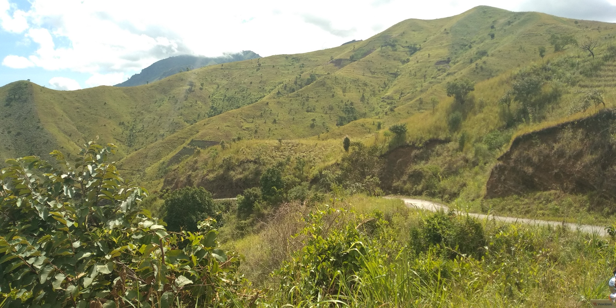
- Available Commons photo is regional rather than route-specific.
External links
| Resource | Link |
|---|---|
| Archived Eastern Arc — Uluguru profile | easternarc.or.tz/uluguru |