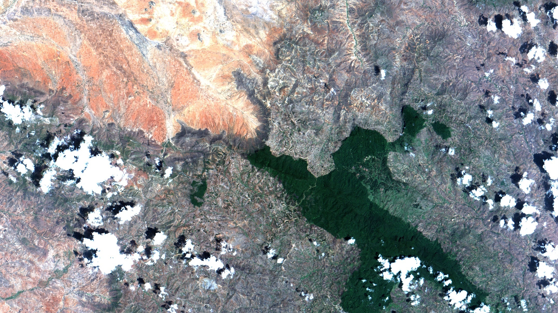
Regional overview
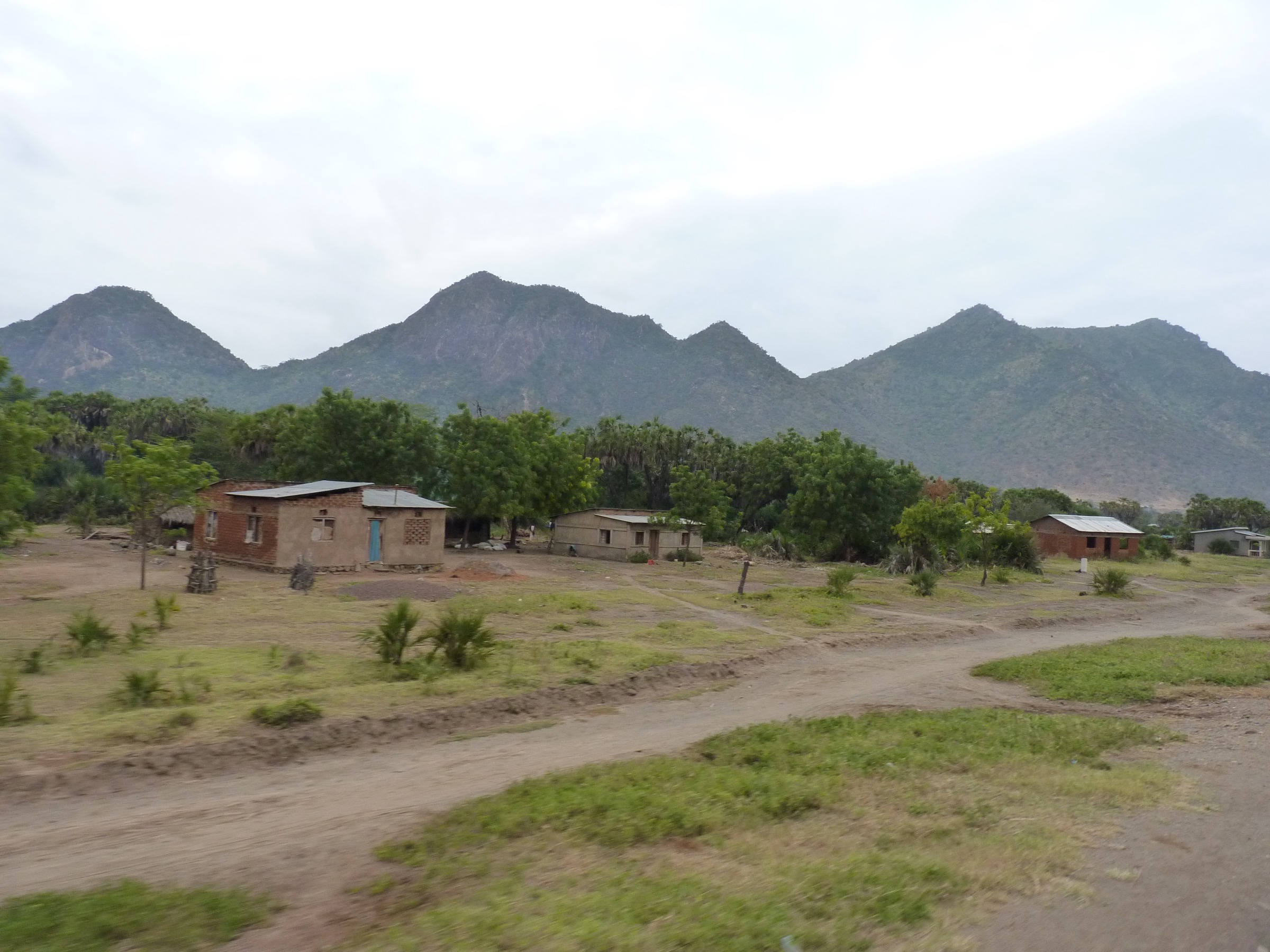
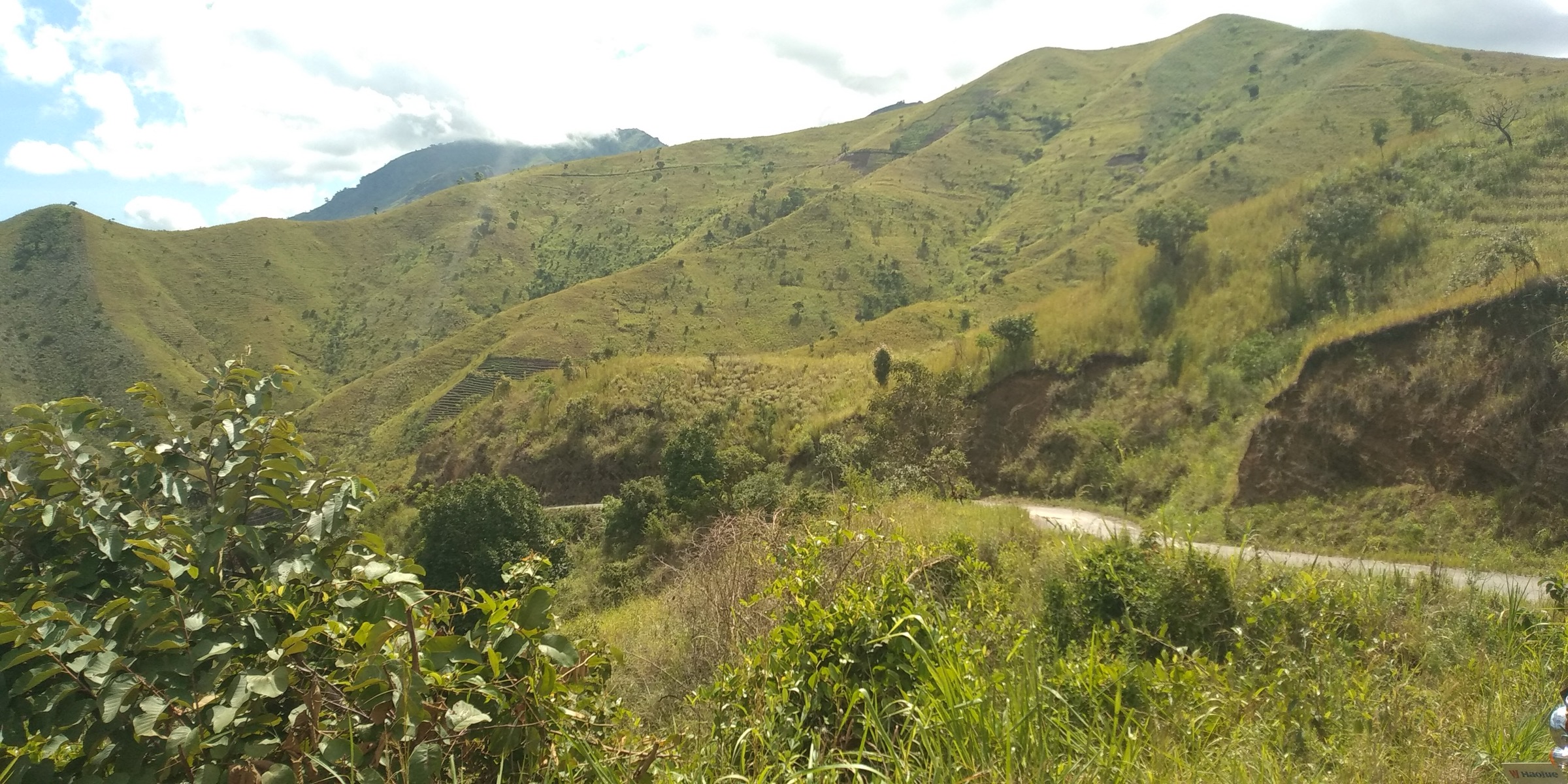
The Mahenge Mountains are the southernmost of the Eastern Arc blocks, rising from the Kilombero floodplain in Ulanga District, Morogoro Region. Mahenge town sits at about 1,040 m on the scarp face. The range is small and isolated, with three named forest reserves recorded in the archived Eastern Arc profile: Sali (1,890 ha, 1,050–1,500 m), Mselezi (2,245 ha, 500–900 m) and Mahenge Scarp Catchment (3.87 km², gazetted 1954).
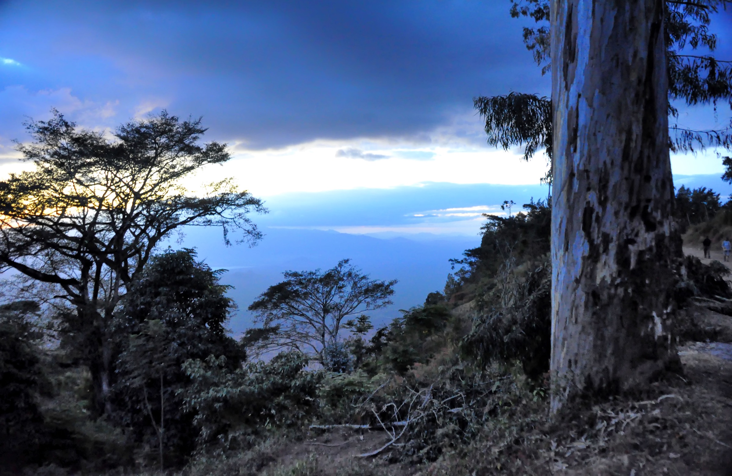
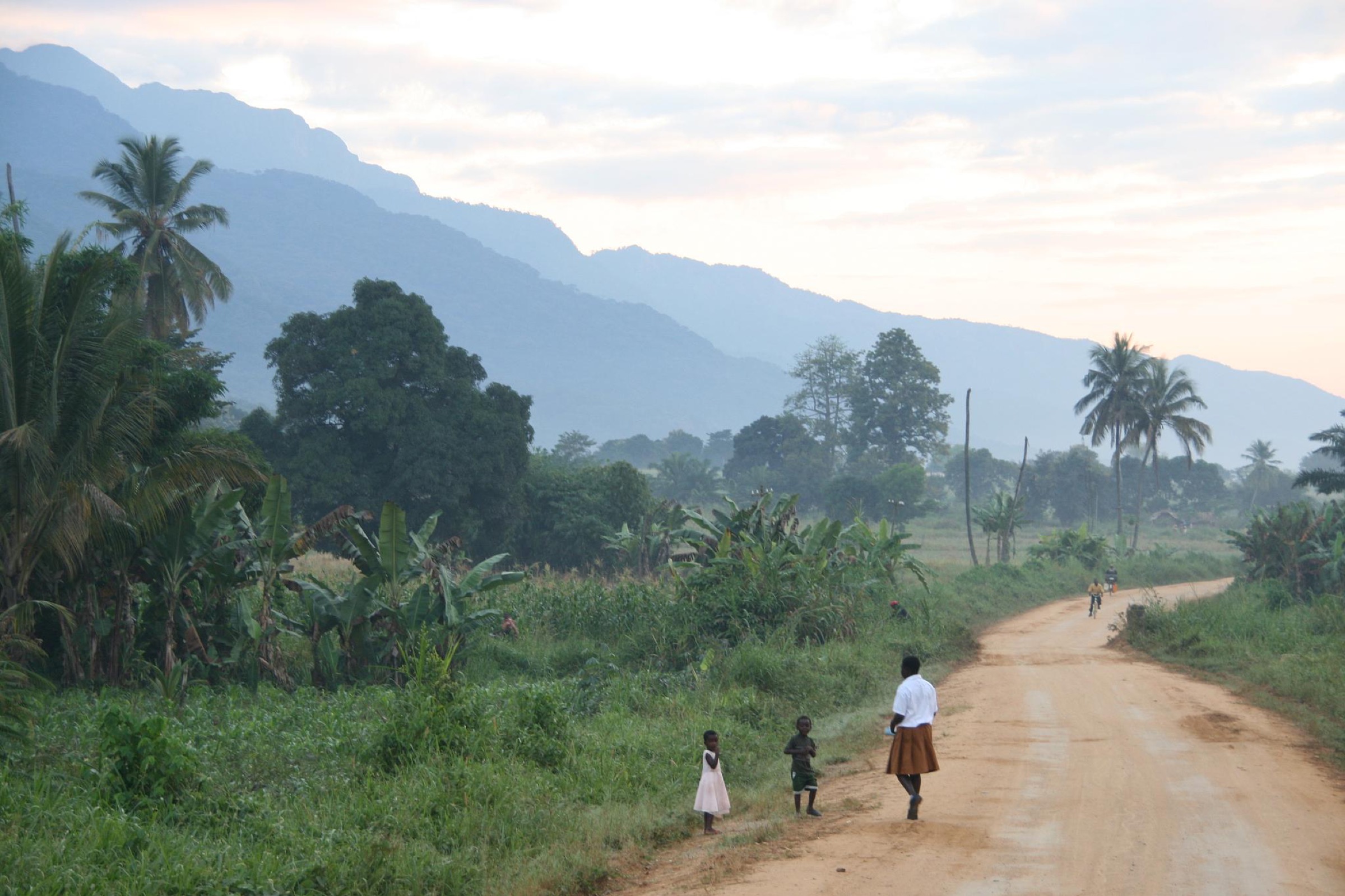
Walking character is forest reserve access from village trailheads, an exposed scarp viewpoint above Mahenge town, and a cultural walk through the town’s German-colonial and Catholic mission landscape. The range is biologically important for endemic amphibians and primates, but hiking infrastructure is essentially absent and most routes require a local guide.
Selection rationale
The five selected route concepts cover the scarp viewpoint above Mahenge town, the two largest named forest reserves, an additional Nawenge forest block, and the town’s cultural-historical landscape. All entries are candidates because route statistics, trailheads, and access details were not found in reliable public sources.
Summary table
| # | Hike | Country | Route type | Distance | Gain | Max elevation | Difficulty |
|---|---|---|---|---|---|---|---|
| 1 | Mahenge Scarp viewpoint | Tanzania | Out-and-back | Not verified | Not verified | ~1,040 m | Easy-moderate |
| 2 | Sali Forest Reserve | Tanzania | Out-and-back/loop | Not verified | Not verified | ~1,500 m | Moderate |
| 3 | Mselezi Forest Reserve | Tanzania | Out-and-back/loop | Not verified | Not verified | ~900 m | Moderate |
| 4 | Nawenge Forest Reserve | Tanzania | Out-and-back/loop | Not verified | Not verified | Not verified | Moderate |
| 5 | Mahenge town cultural walk | Tanzania | Local loop | Not verified | Not verified | ~1,040 m | Easy |
1. Mahenge Scarp Viewpoint
Snapshot
Itinerary
The route concept links Mahenge town with a viewpoint on the scarp edge above the Kilombero floodplain. The Mahenge Scarp Catchment Forest Reserve (3.87 km², gazetted 1954) covers part of this face. Exact trailhead and line are unresolved.
Why it is essential
The Mahenge Scarp defines the range’s western edge and provides the panoramic view that visitors most associate with the town.
Equipment
Standard hiking equipment; sun protection on the open scarp.
Hazards and notes
No formal trail description located. Steep ground likely near the scarp edge; local guide recommended.
GPX / KML links
| Source | URL | Format / access | Reuse status |
|---|---|---|---|
| Route-file status | No GPX/KML/source-map found in this pass | Unresolved | Unresolved |
External links
2. Sali Forest Reserve
Snapshot
Itinerary
The route concept enters the Sali Forest Reserve (1,890 ha, 1,050–1,500 m) from the Sali village side. The reserve protects an upper-elevation forest block on the northern Mahenge range.
Why it is essential
Sali is the largest named upper-elevation forest reserve in the range and represents the Mahenge montane forest belt.
Equipment
Standard to mountain hiking equipment; rain protection.
Hazards and notes
No formal trail description located. Access permissions and guide arrangements must be confirmed locally.
GPX / KML links
| Source | URL | Format / access | Reuse status |
|---|---|---|---|
| Route-file status | No GPX/KML/source-map found in this pass | Unresolved | Unresolved |
External links
3. Mselezi Forest Reserve
Snapshot
Itinerary
The route concept enters the Mselezi Forest Reserve (2,245 ha, 500–900 m) on the lower slopes of the range. The reserve is biologically notable for the recently described Mselezi forest tree frog and other endemic amphibians.
Why it is essential
Mselezi is the largest of the lower-elevation forest reserves in the Mahenge and the type locality for several endemic species.
Equipment
Standard hiking equipment; insect protection in lower-elevation forest.
Hazards and notes
No formal trail description located. Heat and humidity at lower elevation. Local guide recommended.
GPX / KML links
| Source | URL | Format / access | Reuse status |
|---|---|---|---|
| Route-file status | No GPX/KML/source-map found in this pass | Unresolved | Unresolved |
External links
4. Nawenge Forest Reserve
Snapshot
Itinerary
The route concept enters the Nawenge Forest Reserve, an additional forest block on the Mahenge range. Reserve area and elevation range are not consistently documented in public sources.
Why it is essential
Nawenge adds a third forest reserve to the catalogue and complements the larger Sali and Mselezi blocks.
Equipment
Standard to mountain hiking equipment; rain protection.
Hazards and notes
No formal trail description located. Access permissions must be confirmed locally.
GPX / KML links
| Source | URL | Format / access | Reuse status |
|---|---|---|---|
| Route-file status | No GPX/KML/source-map found in this pass | Unresolved | Unresolved |
External links
5. Mahenge town cultural walk
Snapshot
Itinerary
The route concept is an urban walk through Mahenge town, taking in the German-colonial-era boma, the Catholic mission, and the scarp-edge town plan. No standardised route description has been published.
Why it is essential
The cultural walk anchors the catalogue in the town’s historical landscape and balances the four forest-focused route concepts.
Equipment
Standard walking equipment; sun protection.
Hazards and notes
Standard urban walking; current condition of historical buildings and visitor access not verified.
GPX / KML links
| Source | URL | Format / access | Reuse status |
|---|---|---|---|
| Route-file status | No GPX/KML/source-map found in this pass | Unresolved | Unresolved |
External links
Missing data / follow-up work
- Mahenge route statistics remain unresolved for all five entries.
- No route-specific GPX/KML files were found.
- No current official visitor rules, fees, guides, or trailhead details were found.
- No licence-compatible cover photograph located in this pass.
- Forest reserve names and areas cross-checked against archived Eastern Arc profile but field verification still needed.
External links
| Resource | Link |
|---|---|
| Archived Eastern Arc — Mahenge profile | easternarc.or.tz/mahenge |
| Wikipedia — Mahenge Mountains | en.wikipedia.org |