Regional overview
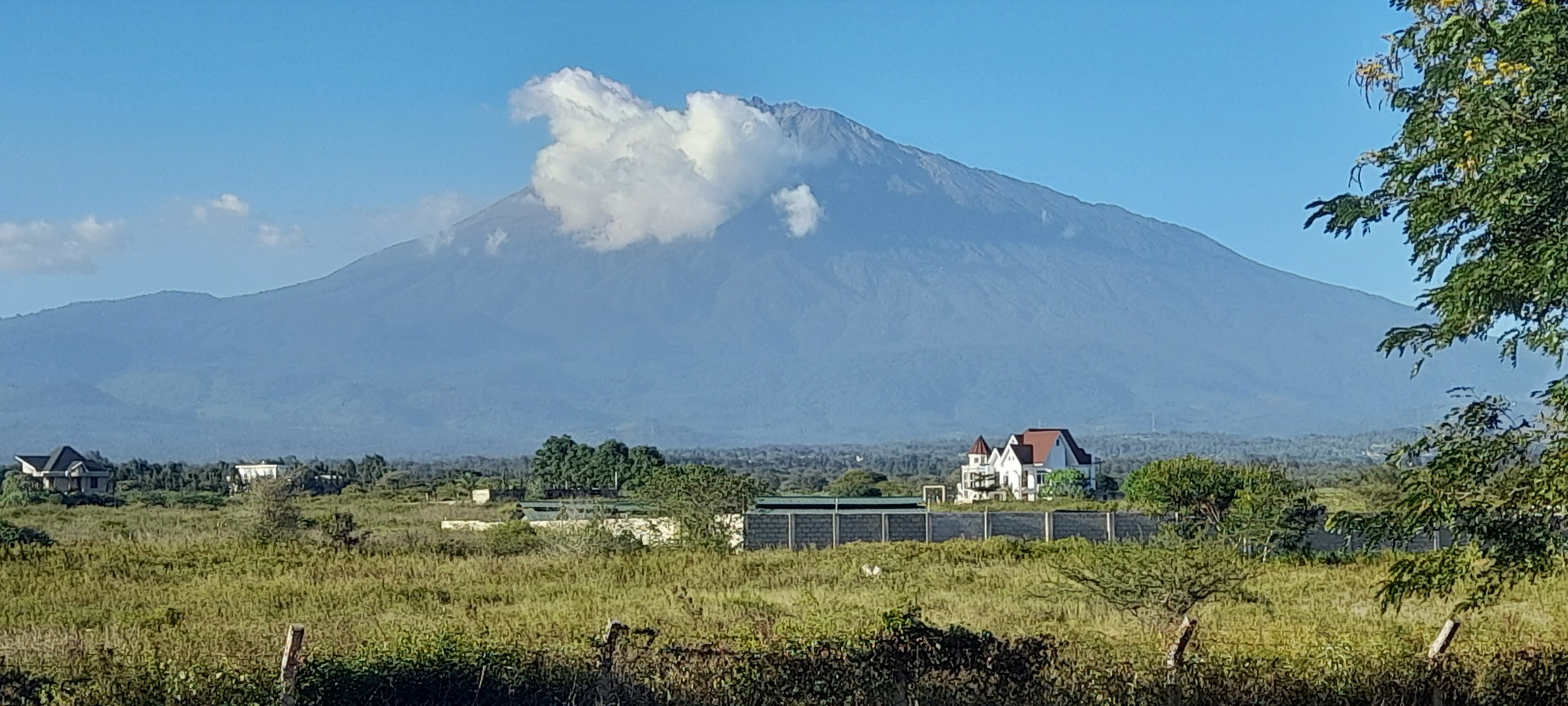
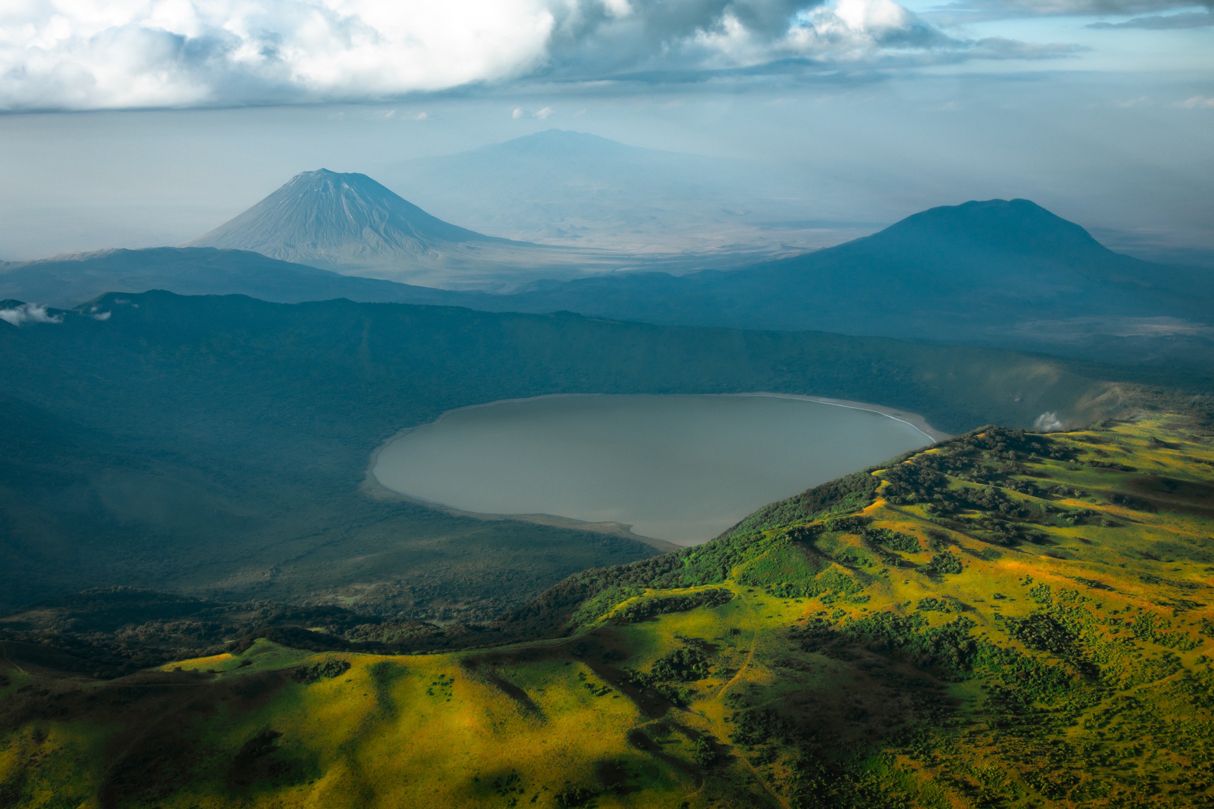
Kilimanjaro is Africa’s highest mountain and a free-standing volcanic massif with Kibo, Mawenzi, and Shira. UNESCO notes its summit height at 5,895 m and its sequence of forest, moorland, alpine desert, and summit zones.
The standard routes are Marangu, Machame, Lemosho, Rongai, Umbwe, and the Northern Circuit. All are regulated by Kilimanjaro National Park; legal access requires KINAPA permits and registered guides, and most walkers reach the gates from Moshi or Arusha.
Selection rationale
The five stages cover the main routes and elevation bands of the massif: the Marangu forest sampler, the Machame forest stage, two Shira-plateau stages, and the Kibo summit day.
Summary table
| # | Hike | Country | Route type | Distance | Gain | Max elevation | Difficulty |
|---|---|---|---|---|---|---|---|
| 1 | Marangu Gate to Mandara Hut and Maundi Crater | Tanzania | Out-and-back | 18.2 km | 941 m | 2,759 m | Hard |
| 2 | Machame Gate to Machame Camp | Tanzania | Point-to-point | 10.5 km | 1,206 m | 3,014 m | Hard |
| 3 | Shira 1 Camp to Shira 2 Camp Direct Route | Tanzania | Point-to-point | 8.0 km | 473 m | 3,894 m | Moderate |
| 4 | Shira 2 Camp to Lava Tower and Barranco Camp | Tanzania | Point-to-point | 10.0 km | 763 m | 4,626 m | Hard |
| 5 | Kibo Hut to Uhuru Peak via Gillman’s Point | Tanzania | Out-and-back | 10.5 km | 1,180 m | 5,895 m | Hard/strenuous |
1. Marangu Gate to Mandara Hut and Maundi Crater
Snapshot
Itinerary
Rainforest approach on the Marangu route to the lower hut zone and the Maundi Crater viewpoint, then return on the same path.
Why it is essential
It is the classic legal Kilimanjaro day-hike sampler.
Equipment
- Waterproof boots
- Rain layer
- Warm layer
- Water treatment
- Kilimanjaro permit/guide arrangements required
Hazards and notes
- Mud and slippery forest tread.
- Altitude approaching 2,800 m.
- Forest wildlife.
- Regulated park access via KINAPA.
GPX / KML links
| Source | URL | Format / access | Reuse status |
|---|---|---|---|
| AllTrails source map | — | Route reference; specific URL not collated in this pass | GPX reuse unresolved |
External links
- UNESCO — Kilimanjaro National Park
- KINAPA — Marangu route
2. Machame Gate to Machame Camp
Snapshot
Itinerary
Steep forest ascent from the Machame trailhead into the first camp zone.
Why it is essential
The forest gateway to the most scenic popular Kilimanjaro route.
Equipment
- Full mountain day kit
- Waterproof boots
- Trekking poles
- Permit/guide required
Hazards and notes
- Slippery forest tread.
- Rapid height gain.
- Regulated overnight-route logistics.
GPX / KML links
| Source | URL | Format / access | Reuse status |
|---|---|---|---|
| AllTrails source map | — | Route reference; specific URL not collated in this pass | GPX reuse unresolved |
External links
- UNESCO — Kilimanjaro National Park
- KINAPA — Machame route
3. Shira 1 Camp to Shira 2 Camp Direct Route

Snapshot
Itinerary
High moorland traverse across the old Shira volcanic plateau with Kibo views.
Why it is essential
Kilimanjaro’s broad western volcanic landscape.
Equipment
- Warm layers
- Sun protection
- Trekking poles
Hazards and notes
- High-altitude weather.
- Exposure on the open plateau.
- Acclimatisation demands.
GPX / KML links
| Source | URL | Format / access | Reuse status |
|---|---|---|---|
| AllTrails source map | — | Route reference; specific URL not collated in this pass | GPX reuse unresolved |
External links
- UNESCO — Kilimanjaro National Park
- KINAPA — Lemosho route
4. Shira 2 Camp to Lava Tower and Barranco Camp
Snapshot
Itinerary
Climb into alpine desert toward Lava Tower, then descend into the Barranco valley.
Why it is essential
Kilimanjaro’s “climb high, sleep low” terrain, lava towers, giant groundsels, and Barranco Wall approach.
Equipment
- Warm layers
- Gloves and hat
- Rain shell
- Trekking poles
Hazards and notes
- Altitude above 4,600 m.
- Cold wind.
- Loose volcanic ground.
- Steep descent into Barranco.
GPX / KML links
| Source | URL | Format / access | Reuse status |
|---|---|---|---|
| AllTrails source map | — | Route reference; specific URL not collated in this pass | GPX reuse unresolved |
External links
- UNESCO — Kilimanjaro National Park
- KINAPA — Machame and Lemosho routes
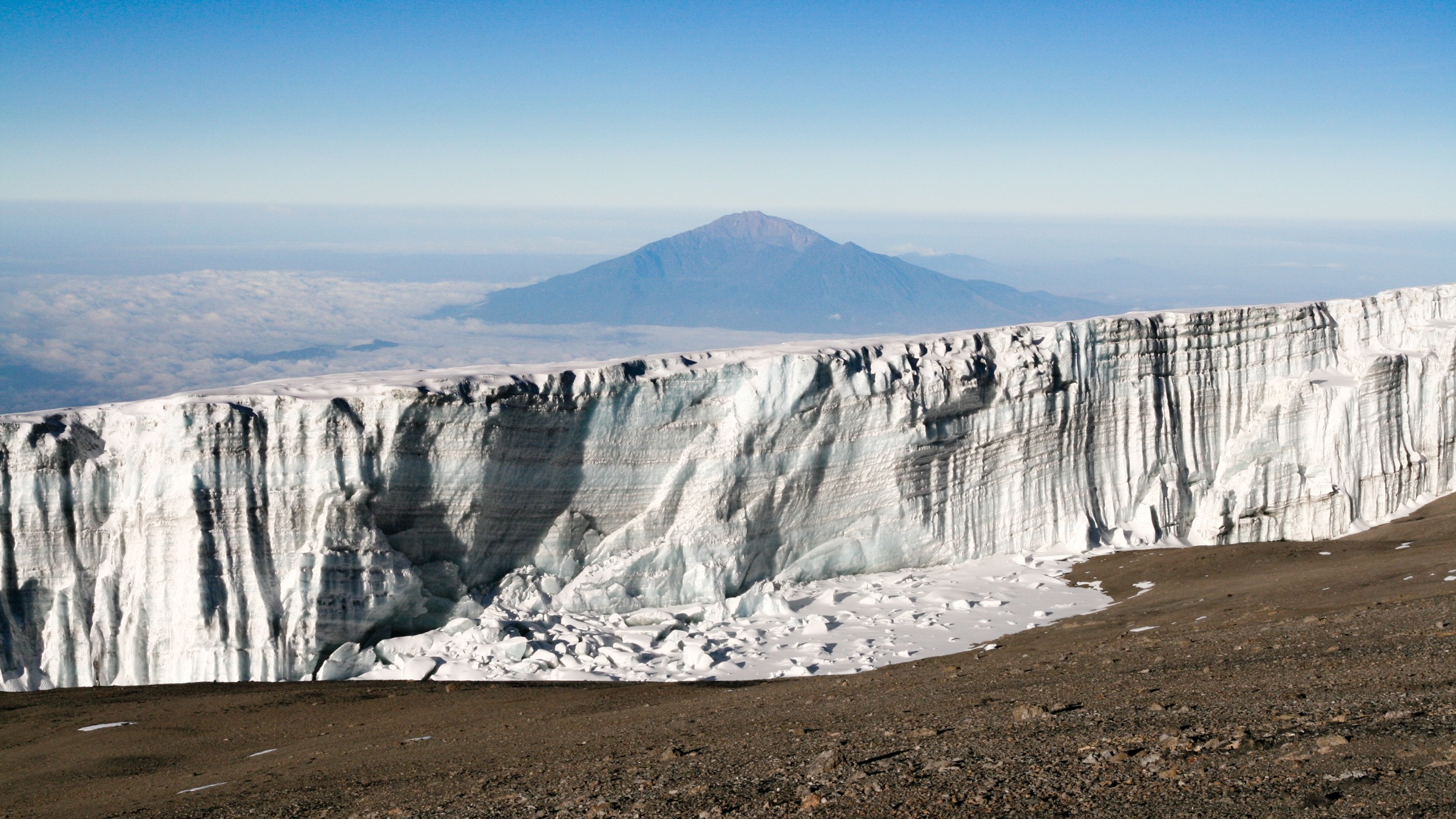
5. Kibo Hut to Uhuru Peak via Gillman’s Point
Snapshot
Itinerary
Night or early-morning scree climb to Gillman’s Point, then crater-rim traverse to Uhuru Peak.
Why it is essential
The non-technical summit day on Africa’s highest mountain.
Equipment
- Insulated layers
- Gloves
- Headlamp
- Trekking poles
- High-altitude emergency plan
Hazards and notes
- Severe altitude illness risk.
- Cold and wind.
- Snow/ice possible.
- Loose scree on the ascent.
GPX / KML links
| Source | URL | Format / access | Reuse status |
|---|---|---|---|
| AllTrails source map | — | Route reference; specific URL not collated in this pass | GPX reuse unresolved |
External links
- UNESCO — Kilimanjaro National Park
- KINAPA — Marangu route
Missing data / follow-up work
- Direct GPX/KML downloads were not collated; AllTrails pages were used as source maps without confirmed reusable GPX downloads.
- Public transport options to gates (Marangu, Machame) remain unresolved.
- Route-landscape open-licence photos for Marangu/Mandara, Machame Gate, and the Lava Tower segment were not found in this pass.