Regional overview
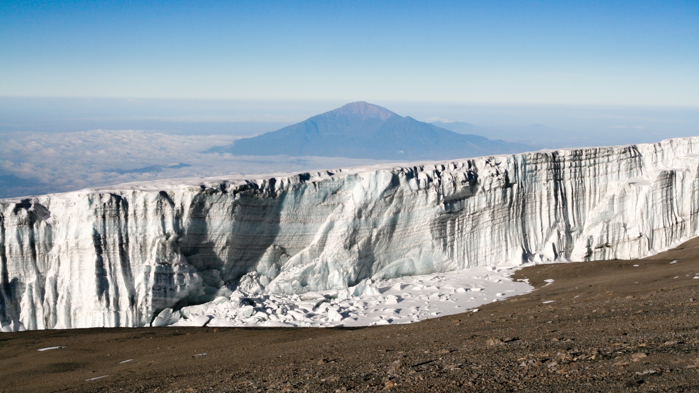
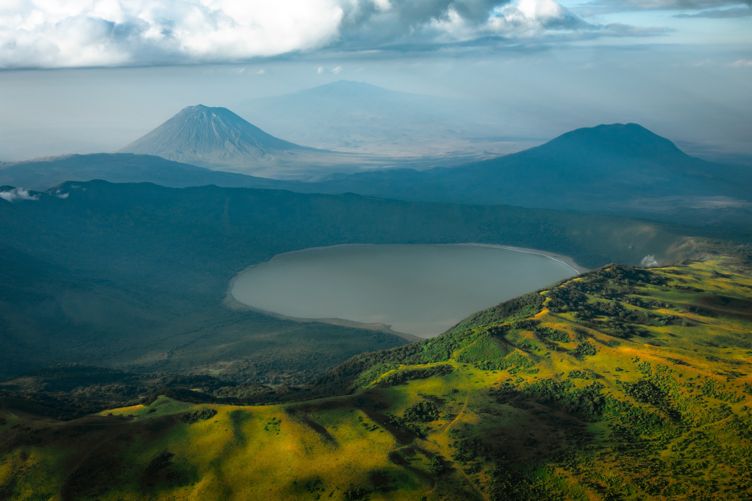
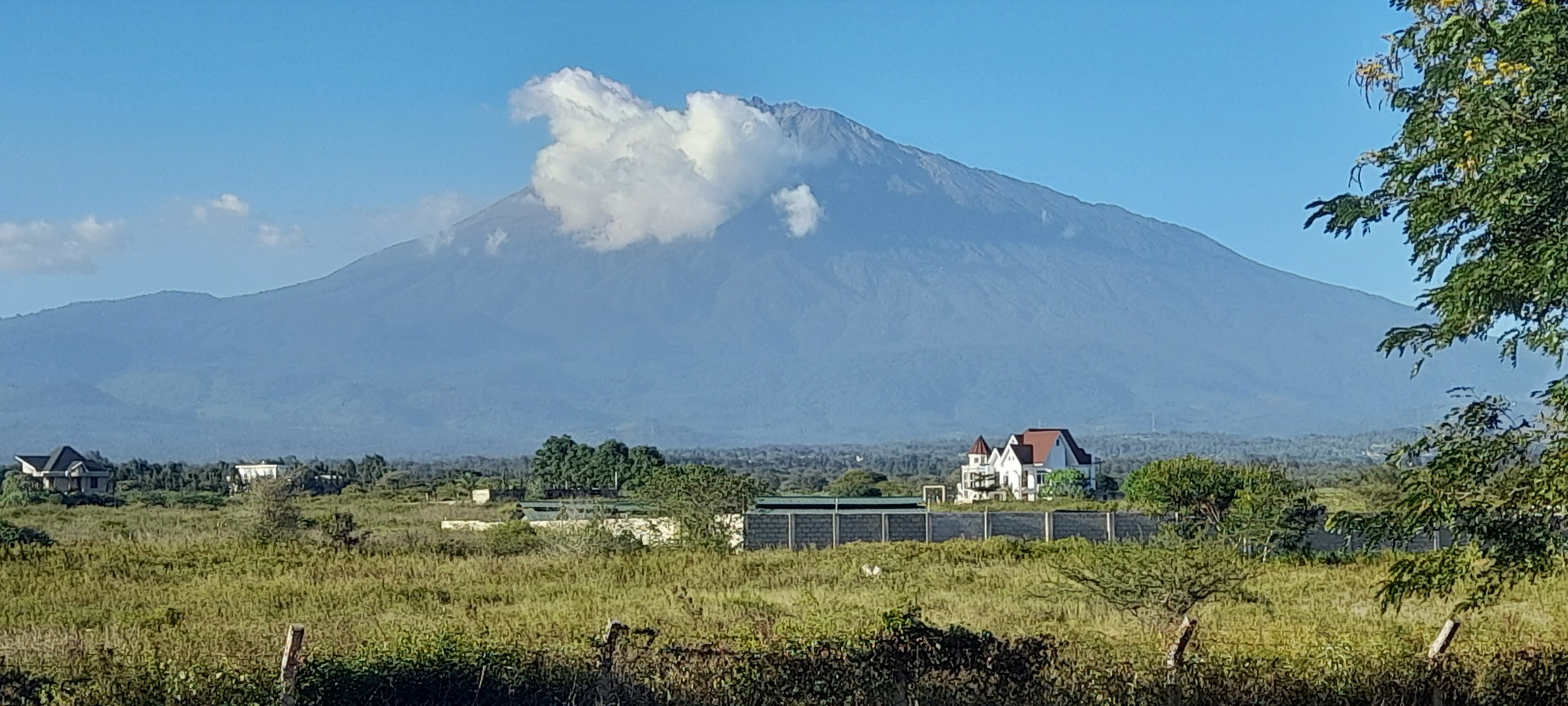
Mount Meru is the volcanic centre of Arusha National Park and is normally climbed by the Momella route with huts and armed-ranger/park arrangements. Specialist route data gives the summit as about 4,566 m, with wildlife-rich lower slopes and a narrow crater-rim summit section.
Selection rationale
The five stages cover the main hiking character of Meru: a lower-slope warm-up, the two classic hut stages, the compact crater landform, and the summit day.
Summary table
| # | Hike | Country | Route type | Distance | Gain | Max elevation | Difficulty |
|---|---|---|---|---|---|---|---|
| 1 | Mount Meru Waterfall Loop | Tanzania | Loop | 9.2 km | 431 m | 1,974 m | Moderate |
| 2 | Momella Gate to Miriakamba Hut | Tanzania | Point-to-point | 10.6 km | 971 m | 2,479 m | Hard |
| 3 | Miriakamba Hut to Saddle Hut via Elephant Ridge | Tanzania | Point-to-point | 4.5 km | 1,073 m | 3,555 m | Hard |
| 4 | Mount Meru Crater Loop | Tanzania | Loop | 3.5 km | 198 m | 2,654 m | Moderate |
| 5 | Saddle Hut to Socialist Peak | Tanzania | Out-and-back (one-way 6.6 km) | 6.6 km one-way | 1,007 m | 4,513 m AllTrails; 4,566 m operator | Hard/strenuous |
1. Mount Meru Waterfall Loop
Snapshot
Itinerary
Lower-slope forest and waterfall walking route with wildlife-viewing potential.
Why it is essential
The best standalone Meru day-hike warm-up.
Equipment
- Boots
- Rain layer
- Ranger/park registration
Hazards and notes
- Wildlife.
- Slippery trail.
- Ranger requirement.
GPX / KML links
| Source | URL | Format / access | Reuse status |
|---|---|---|---|
| AllTrails source map | — | Route reference; specific URL not collated in this pass | GPX reuse unresolved |
External links
- TANAPA / Arusha National Park — Mount Meru
- AllTrails — Mount Meru Waterfall Loop
2. Momella Gate to Miriakamba Hut
Snapshot
Itinerary
Open grassland, Ngare Nanyuki River, montane forest, wildlife and colobus habitat to the first hut.
Why it is essential
Meru’s classic first ascent stage.
Equipment
- Boots
- Rain layer
- Trekking poles
- Ranger/guide
Hazards and notes
- Wildlife.
- Mud.
- Regulated park logistics.
GPX / KML links
| Source | URL | Format / access | Reuse status |
|---|---|---|---|
| AllTrails source map | — | Route reference; specific URL not collated in this pass | GPX reuse unresolved |
External links
- TANAPA / Arusha National Park — Mount Meru
- Mount Meru climb route — operator itinerary
3. Miriakamba Hut to Saddle Hut via Elephant Ridge
Snapshot
Itinerary
Steep forest/heather ascent past Elephant Ridge viewpoints toward Saddle Hut.
Why it is essential
Crater views and transition to upper Meru.
Equipment
- Trekking poles
- Warm and rain layers
Hazards and notes
- Steep ascent.
- Altitude.
- Slippery forest.
GPX / KML links
| Source | URL | Format / access | Reuse status |
|---|---|---|---|
| AllTrails source map | — | Route reference; specific URL not collated in this pass | GPX reuse unresolved |
External links
- TANAPA / Arusha National Park — Mount Meru
- Mount Meru climb route — operator itinerary
4. Mount Meru Crater Loop
Snapshot
Itinerary
Short volcanic crater-view circuit on Meru’s inner terrain.
Why it is essential
The compact volcanic-landform walk for the mountain.
Equipment
- Normal day-hike kit
- Ranger/park compliance
Hazards and notes
- Wildlife.
- Exposed viewpoints.
- Route access logistics unresolved.
GPX / KML links
| Source | URL | Format / access | Reuse status |
|---|---|---|---|
| AllTrails source map | — | Route reference; specific URL not collated in this pass | GPX reuse unresolved |
External links
- TANAPA / Arusha National Park — Mount Meru
5. Saddle Hut to Socialist Peak
Snapshot
Itinerary
Early ascent over Rhino Point and the narrow crater rim to the summit.
Why it is essential
Tanzania’s second-highest major mountain summit route and a Kilimanjaro acclimatisation classic.
Equipment
- Warm layers
- Headlamp
- Gloves
- Trekking poles
- Guide/ranger
Hazards and notes
- Altitude.
- Strong wind.
- Possible ice.
- Narrow ridge; operator notes the ridge may be unsafe in bad conditions.
GPX / KML links
| Source | URL | Format / access | Reuse status |
|---|---|---|---|
| AllTrails source map | — | Route reference; specific URL not collated in this pass | GPX reuse unresolved |
External links
- TANAPA / Arusha National Park — Mount Meru
- Mount Meru climb route — operator itinerary
Missing data / follow-up work
- Direct GPX/KML downloads were not collated; AllTrails pages were used as source maps without confirmed reusable GPX downloads.
- Waterfall-specific, Elephant Ridge, and crater-specific open-licence photos were not found in this pass.
- Mount Meru Crater Loop access status as a standalone public route remains unverified.