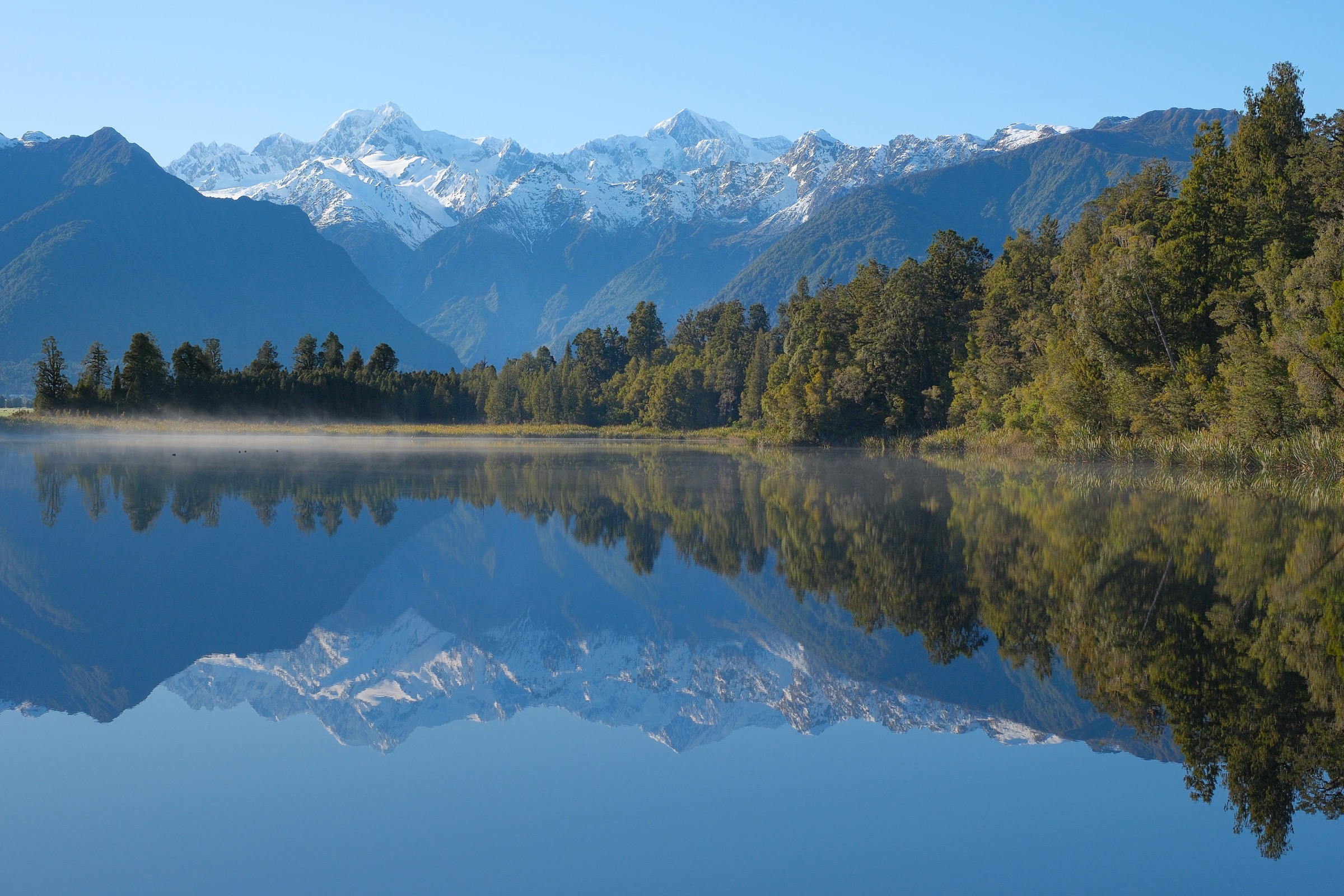
Regional overview
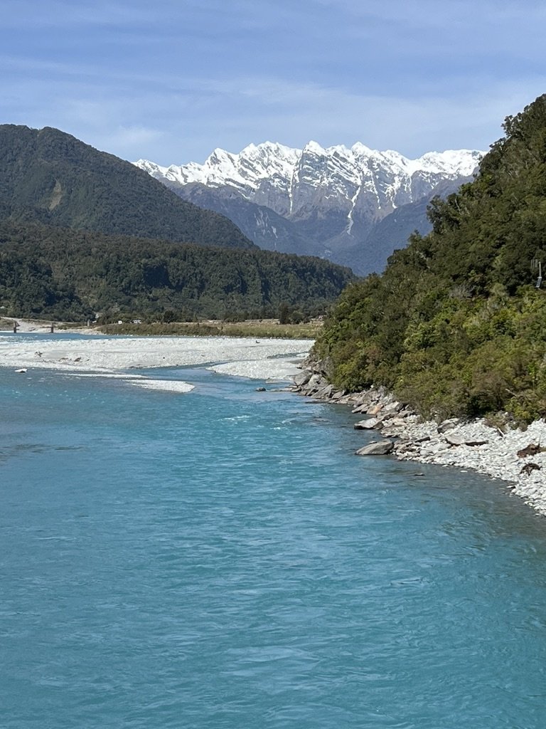
The Copland Valley is a major South Westland approach into Westland Tai Poutini National Park, reached from State Highway 6 near the Karangarua River bridge, 26 km south of Fox Glacier/Weheka. The valley is famous for the Copland Track, Welcome Flat Hut, natural hot pools, southern rātā forest, wide river flats, and the historic tourist route toward Copland Pass and Aoraki / Mount Cook.
This is not a region of five independent trailheads. DOC presents the Copland primarily as a 2–3 day tramping trip to Welcome Flat, with advanced upper-valley travel beyond the hut. For this catalogue entry, the five selections are therefore the essential walkable day sections of the valley: the full lower-valley approach to Welcome Flat, the lower forest/river out-and-back to Architect Creek, the Architect Creek to Welcome Flat stage, the Welcome Flat to Douglas Rock upper-valley stage, and the advanced marked route above Douglas Rock toward Fiddian Creek / the upper Copland viewpoint. Where a segment is not a formal named day walk, that is stated clearly.
Summer and autumn are the best seasons. DOC warns that the valley is subject to flooding at any time of year, the track may close at short notice during heavy rain, side creeks can become impassable, and avalanche, rockfall, landslide, and river hazards are part of the route.
Selection rationale
The five entries represent the Copland Valley’s complete day-walkable progression: lower river/forest, historic Architect Creek, the climb to Welcome Flat and hot pools, the rougher upper valley to Douglas Rock, and the alpine-view route above Douglas Rock. This is a staged-valley catalogue rather than five unrelated walks.
Summary table
| # | Hike | Country | Route type | Distance | Gain | Max elevation | Difficulty |
|---|---|---|---|---|---|---|---|
| 1 | Copland Track: Car Park to Welcome Flat Hut | New Zealand | Point-to-point day stage | 18 km one way (DOC); 17.2 km (AllTrails) | 727 m (AllTrails) | Below 500 m on DOC profile; exact max unresolved | Intermediate tramping track |
| 2 | Copland Track: Car Park to Architect Creek Hut | New Zealand | Out-and-back lower-valley day hike | 20.6 km return (AllTrails); roughly halfway to Welcome Flat (DOC) | 520 m (AllTrails) | Intermediate / hard day | |
| 3 | Copland Track: Architect Creek Hut to Welcome Flat | New Zealand | Point-to-point hut-to-hut day stage | 6.9 km one way (AllTrails); roughly halfway (DOC) | 436 m (AllTrails) | Just under 500 m on DOC profile; exact unresolved | Intermediate tramping track |
| 4 | Upper Copland Valley: Welcome Flat Hut to Douglas Rock Hut | New Zealand | Point-to-point hut-to-hut day stage | 7 km one way (DOC); 7.9 km (AllTrails) | 369 m (AllTrails) | Advanced tramping track | |
| 5 | Above Douglas Rock Hut toward Fiddian Creek / Upper Copland viewpoint | New Zealand | Out-and-back advanced route section | Expert route / alpine experience required |
1. Copland Track — Car Park to Welcome Flat Hut
Snapshot
Itinerary
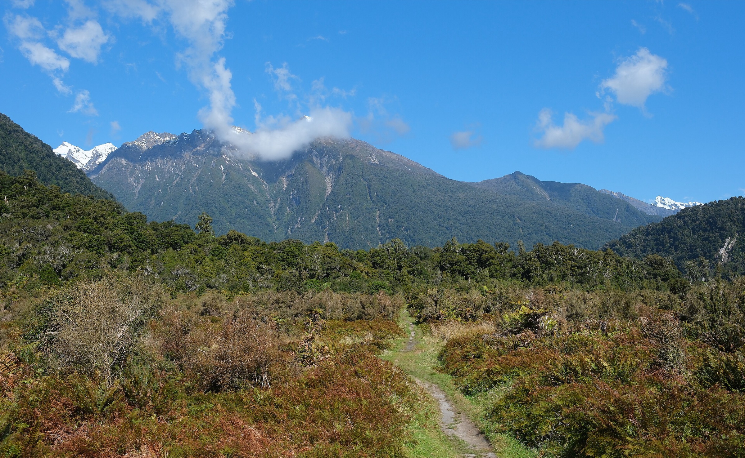
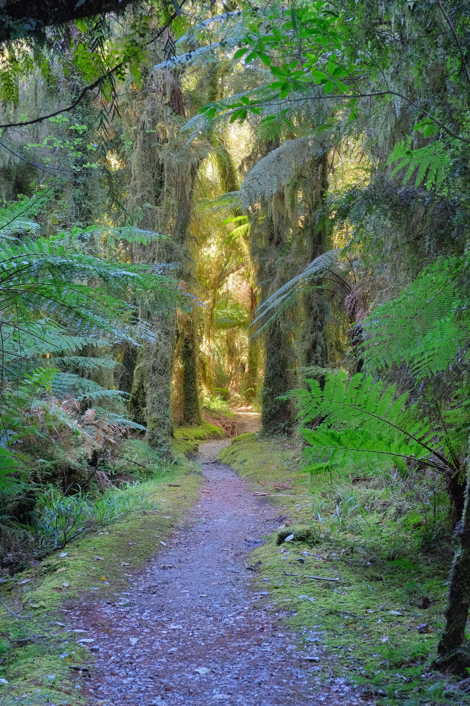
From the car park, cross Rough Creek to the orange marker and follow forest track, open riverbed, and boulder sections up the Copland Valley. DOC notes that from the Karangarua confluence to Architect Creek the track alternates between rocky riverbed, forest tracks, and grassy clearings. Beyond Architect Creek the route climbs gradually toward Palaver Creek, crosses Open Creek, Shiels Creek, and a signed landslide area, then reaches the highest point of the lower track before descending through forest to Welcome Flat Hut.
Why it is essential
This is the defining Copland Valley journey: West Coast river forest, historic tourist-route engineering, mountain views, Welcome Flat Hut, and the natural hot pools that made the valley famous.
Equipment
- Full tramping kit
- Boots
- Waterproofs
- Warm layers
- Food and water treatment
- Map / GPS
- Headtorch
- First aid
- Emergency shelter
- Personal locator beacon recommended
Hazards and notes
- DOC warns that the Copland Track may close at short notice during sustained or heavy rain
- Rough Creek and other unbridged side creeks can become unsafe; do not cross flooded rivers
- Active landslide areas occur approximately 30 minutes upstream of Architect Creek and on the true left of Shiels Creek
- Flooding, rockfall, landslide, and avalanche are listed DOC hazards
- No camping at the road end
- Welcome Flat Hut, Sierra Room, and campsite must be booked year-round
- Keep your head above water in the hot pools to reduce amoebic meningitis risk; do not use soaps or dig new pools
- No dogs; no drones
GPX / KML links
| Source | URL | Format / access | Reuse status |
|---|---|---|---|
| DOC: Copland Track to Welcome Flat Hut | doc.govt.nz | Official route page / interactive map | DOC copyright terms; no GPX found |
| DOC Copland Track brochure | doc.govt.nz | PDF map / elevation profile | DOC copyright terms |
| Wilderness Magazine: Welcome Flat Hut | wildernessmag.co.nz | Guide article with GPX download | Wilderness terms; GPX licence not stated |
| Wilderness GPX: Welcome Flat Hut | wildernessmag.co.nz | GPX | Licence not stated; reuse not confirmed |
| AllTrails: Copland Track to Welcome Flat Hut | alltrails.com | Source route page; GPX usually service-controlled | AllTrails terms apply; reuse not confirmed |
External links
- DOC — Copland Track to Welcome Flat Hut
- DOC — Copland Track brochure (PDF)
- Wilderness Magazine — Welcome Flat Hut
- AllTrails — Copland Track to Welcome Flat Hut
2. Copland Track — Car Park to Architect Creek Hut
Snapshot
Itinerary
This lower-valley day hike follows the first half of the Copland Track through forest, riverbed sections, grassy clearings, and boulder-hopping terrain to Architect Creek Hut. The hut is small, with two bunks, and is normally a basic overnight option rather than a day-walk destination, but it forms a natural turnaround for fit walkers who want the Copland atmosphere without committing to Welcome Flat.
Why it is essential
Architect Creek is the practical lower Copland objective: it samples the river, forest, historic pack-track corridor, and rough West Coast travel while remaining a same-day out-and-back for strong parties in good conditions.
Equipment
- Full day-tramping equipment
- Boots
- Waterproofs
- Warm layers
- Food and water treatment
- Map / GPS
- Headtorch
- First aid
- PLB recommended
Hazards and notes
- Rough Creek and other side creeks can become unsafe quickly
- DOC identifies active landslide areas farther beyond Architect Creek; turn around early if weather is worsening
- The return is long; carry a headtorch and do not underestimate West Coast track times
- No dogs; no drones
GPX / KML links
| Source | URL | Format / access | Reuse status |
|---|---|---|---|
| DOC: Copland Track to Welcome Flat Hut | doc.govt.nz | Official route page / interactive map | DOC copyright terms; no GPX found |
| AllTrails: Copland Track to Architect Creek Hut | alltrails.com | Source route page; GPX usually service-controlled | AllTrails terms apply; reuse not confirmed |
External links
3. Copland Track — Architect Creek Hut to Welcome Flat
Snapshot
Itinerary
From Architect Creek, the track climbs gradually toward Palaver Creek as the valley narrows. It crosses Open Creek and continues toward Shiels Creek, where DOC identifies a signed landslide area on the true left. After the Shiels Creek bridge, a short climb leads to the highest point of the lower Copland Track before the route descends through forest and emerges at Welcome Flat Hut.
Why it is essential
This is the most scenic middle-valley stage of the Copland approach: narrowing valley, side creeks, landslide terrain, forest, and the final arrival at Welcome Flat and its hot pools.
Equipment
- Tramping boots
- Waterproofs
- Warm layers
- Food and water treatment
- Map / GPS
- Headtorch
- First aid
- PLB recommended
Hazards and notes
- DOC identifies landslide areas about 30 minutes upstream of Architect Creek and near Shiels Creek
- Open Creek and other side streams are dangerous in rain
- Welcome Flat Hut and campsite must be booked before arrival
- Hot pools are fragile; do not use soap or shampoo, dig pools, or submerge your head
GPX / KML links
| Source | URL | Format / access | Reuse status |
|---|---|---|---|
| DOC: Copland Track to Welcome Flat Hut | doc.govt.nz | Official route page / interactive map | DOC copyright terms; no GPX found |
| AllTrails: Architect Creek Hut to Welcome Flat Campsite | alltrails.com | Source route page; GPX usually service-controlled | AllTrails terms apply; reuse not confirmed |
| Wilderness GPX: Welcome Flat Hut | wildernessmag.co.nz | GPX for broader road-end to Welcome Flat route | Licence not stated; reuse not confirmed |
External links
- DOC — Copland Track to Welcome Flat Hut
- AllTrails — Architect Creek Hut to Welcome Flat Campsite
- Wilderness Magazine — Welcome Flat Hut
4. Upper Copland Valley — Welcome Flat Hut to Douglas Rock Hut
Snapshot
Itinerary
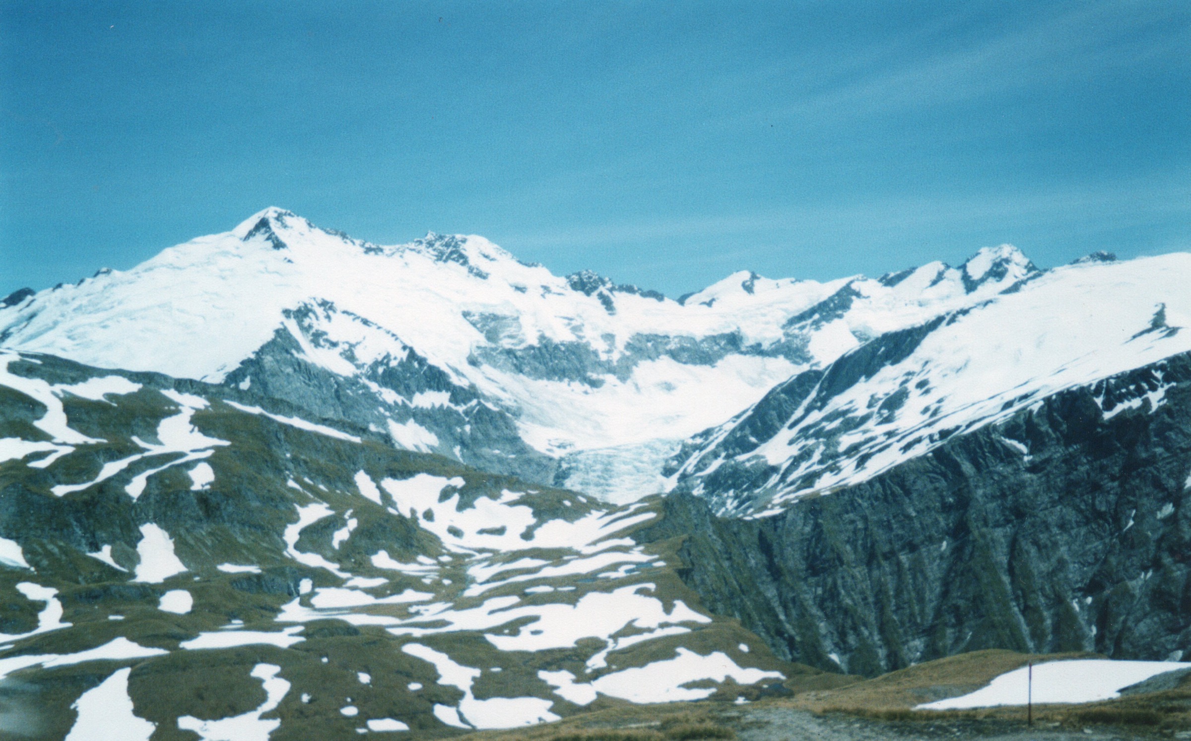
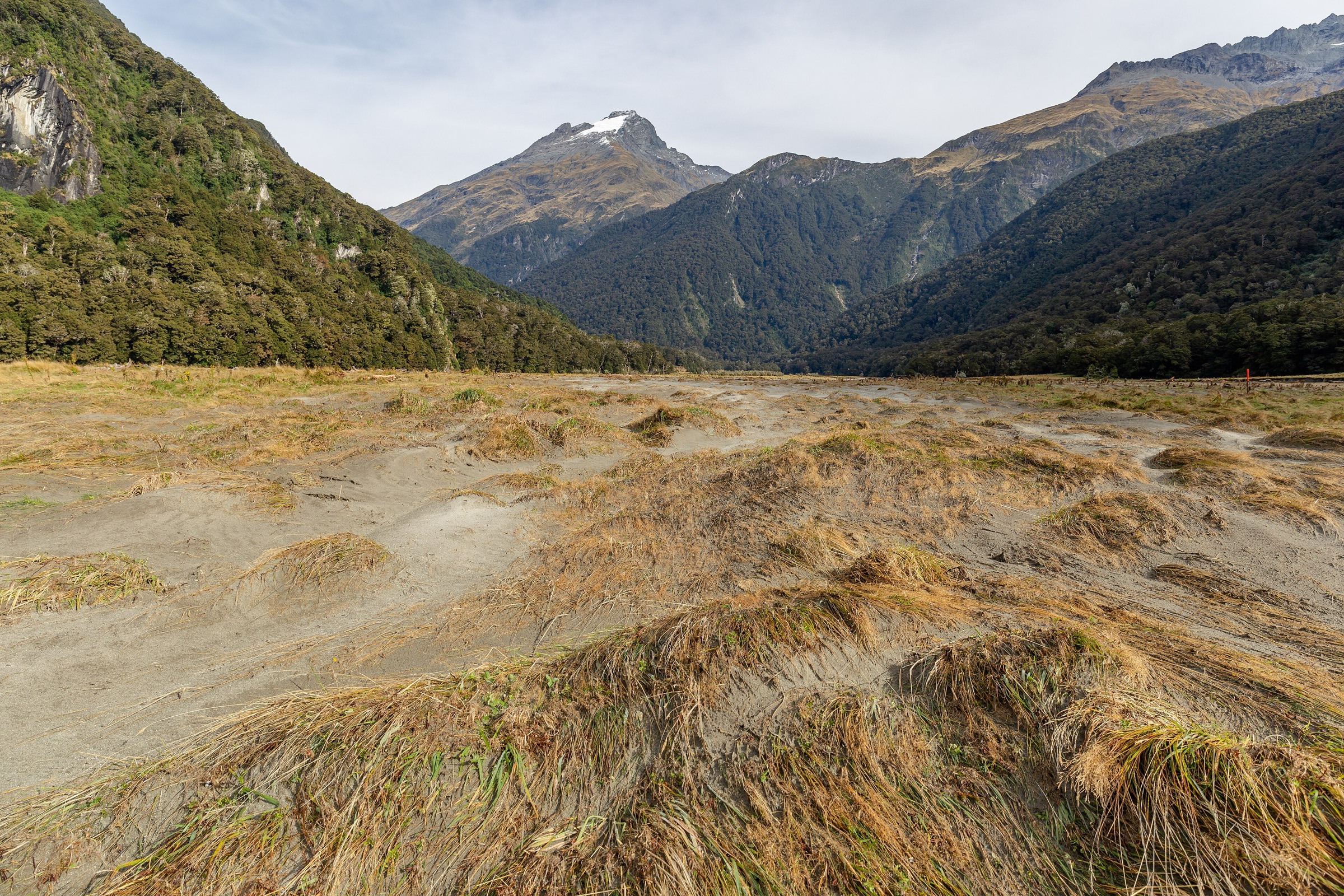
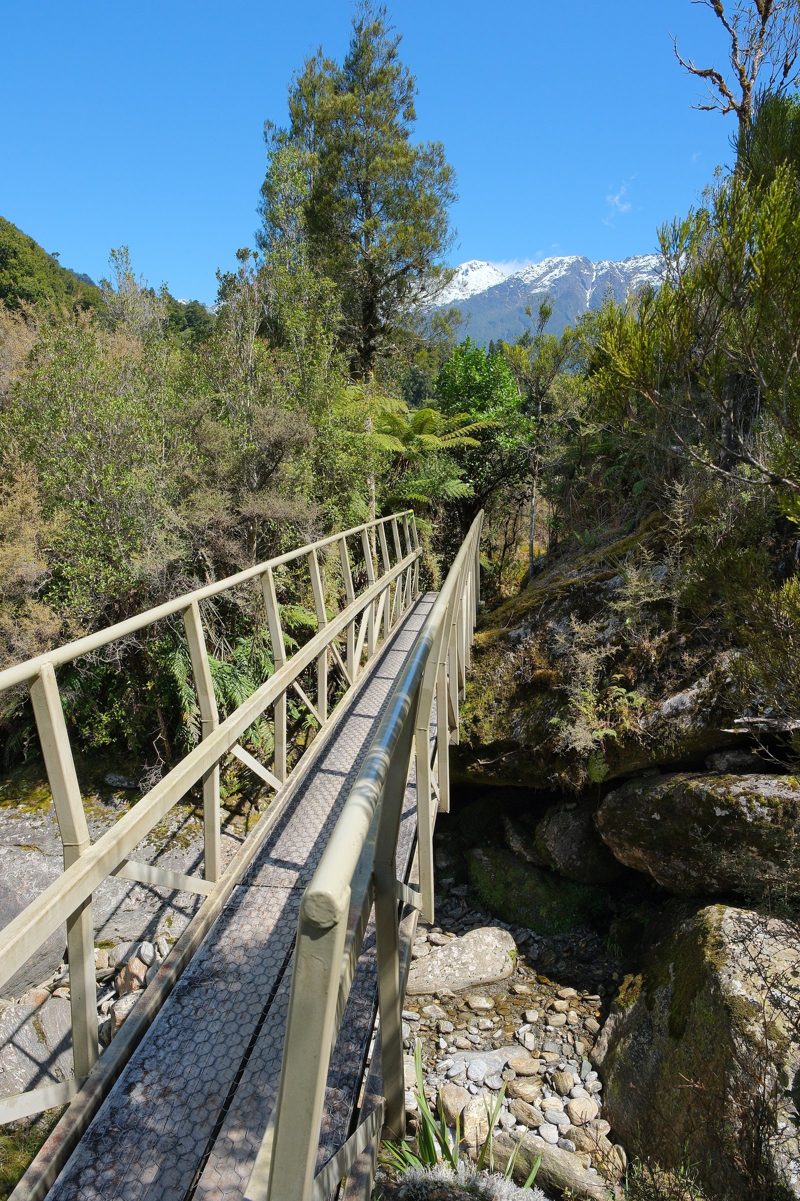
From Welcome Flat Hut, cross the suspension bridge to the true left of the Copland River and follow extensive grassy flats with views into the Ruera Valley and the Navigator Range. The route moves in and out of low forest, crosses the multiple channels of Scott Creek, then climbs gradually above the upper gorge, crossing open slips before the swing bridge over Tekano Creek and Douglas Rock Hut.
Why it is essential
This is the essential upper Copland day stage: broader valley views, Mount Sefton and the Footstool behind the Sierra Range, river flats, slips, creek crossings, and the transition from the popular Welcome Flat area into rougher backcountry.
Equipment
- Full tramping kit
- Boots
- Waterproofs
- Warm layers
- Food and water treatment
- Map / GPS
- Headtorch
- First aid
- PLB
- River-crossing judgement
Hazards and notes
- DOC says only experienced trampers should proceed beyond Welcome Flat Hut
- Scott Creek can be extremely hazardous in wet weather
- Most creeks beyond Welcome Flat are unbridged and may become impassable during and after rain
- Flooding, rockfall, and avalanche are listed hazards
- No dogs; no drones
GPX / KML links
| Source | URL | Format / access | Reuse status |
|---|---|---|---|
| DOC: Upper Copland Valley Track | doc.govt.nz | Official route page / interactive map | DOC copyright terms; no GPX found |
| DOC Upper Copland valley brochure | doc.govt.nz | PDF route guide | DOC copyright terms |
| AllTrails: Welcome Flat Hut to Douglas Rock Hut | alltrails.com | Source route page; GPX usually service-controlled | AllTrails terms apply; reuse not confirmed |
External links
- DOC — Upper Copland Valley Track
- DOC — Upper Copland valley route guide (PDF)
- AllTrails — Welcome Flat Hut to Douglas Rock Hut
5. Above Douglas Rock Hut toward Fiddian Creek / Upper Copland Viewpoint
Snapshot
Itinerary
DOC states that past Douglas Rock Hut a marked route continues up the Copland Valley. It ascends through subalpine vegetation, then sidles above the river with improving views of the high peaks. Aoraki / Mount Cook comes into view near Fiddian Creek. The full route continues toward the alpine basin below Copland Pass, but this catalogue entry deliberately treats the route as a cautious out-and-back viewpoint section, not as a pass crossing.
Why it is essential
This is the only route section that reaches the more alpine-feeling upper Copland without committing to Copland Pass. It is essential context for experienced parties because it shows why the historic west-to-east route was celebrated, while also showing why it is no longer a casual pass crossing.
Equipment
- Alpine-capable tramping kit
- Navigation tools
- PLB
- Helmet considered for rockfall zones
- Avalanche assessment equipment in season
- Emergency shelter
- Full bad-weather margin
Hazards and notes
- DOC states avalanche and flood risk is high above Douglas Rock
- Only parties with alpine experience, mountaineering skills, and appropriate equipment should attempt this route
- Do not attempt to climb to or cross Copland Pass unless you have a high level of mountaineering experience and appropriate mountaineering equipment
- DOC strongly recommends not attempting to cross Copland Pass from the west
- Statistics remain unresolved because DOC does not publish a defined Fiddian Creek day-section distance / time
GPX / KML links
| Source | URL | Format / access | Reuse status |
|---|---|---|---|
| DOC: Upper Copland Valley Track | doc.govt.nz | Official route page / route description | DOC copyright terms; no GPX found |
| DOC Upper Copland valley brochure | doc.govt.nz | PDF route guide | DOC copyright terms |
External links
Missing data and follow-up
- No downloadable official DOC GPX found for the Copland Track or the Upper Copland Valley Track.
- Maximum elevation, elevation loss, and exact day-section statistics are unresolved on several segments.
- The Hike 5 Fiddian Creek section has no published day-section distance/time and remains a candidate-only entry.
- The DOC “Welcome Flat Hot Pools” image (Chloe Riddell, CC BY 2.0) and the Bob Christie “View of Copland Valley” image were not exported in this pass; the Christie image is ©-marked on DOC and is not reused.
External links
| Source | URL |
|---|---|
| DOC — Copland Track to Welcome Flat Hut | doc.govt.nz |
| DOC — Copland Track brochure (PDF) | doc.govt.nz |
| DOC — Upper Copland Valley Track | doc.govt.nz |
| DOC — Upper Copland valley route guide (PDF) | doc.govt.nz |
| Wilderness Magazine — Welcome Flat Hut | wildernessmag.co.nz |
| AllTrails — Copland Track to Welcome Flat Hut | alltrails.com |
| AllTrails — Copland Track to Architect Creek Hut | alltrails.com |
| AllTrails — Architect Creek Hut to Welcome Flat Campsite | alltrails.com |
| AllTrails — Welcome Flat Hut to Douglas Rock Hut | alltrails.com |