Regional overview
Fox Glacier/Weheka is the southern glacier village of Westland Tai Poutini National Park. Its walking area spans the Fox River glacier valley, Lake Matheson / Te Ara Kairaumati, Lake Gault, the Mount Fox spur, and the Gillespies Beach coast. This is classic South Westland terrain: glacier-cut valleys, moraine ridges, podocarp rainforest, reflective kettle lakes, coastal mining history, and sudden shifts between sea-level rainforest and steep alpine-view routes.
The walking character ranges from easy formed walks to expert tramping. Lake Matheson and the Fox Glacier South Side Walkway are highly accessible short classics; Lake Gault is a longer forest-and-lake day walk; Mount Fox is a serious marked route for experienced trampers; and Galway Beach adds the area’s coast, mining routes, forest, and seal-haul-out context.
Current track conditions should be checked with DOC / the Westland Tai Poutini National Park Visitor Centre. Glacier-valley routes can close because of rockfall, river flooding, or severe weather, and DOC notes that glacier viewpoints are hundreds of metres from the ice.
Selection rationale
The five hikes represent the Fox Glacier area’s essential day-hike range: the iconic mirror-lake circuit, the current official glacier-valley viewpoint, the restored Lake Gault panorama, the demanding Mount Fox alpine-view route, and the Gillespies Beach to Galway Beach coastal heritage walk.
Summary table
| # | Hike | Country | Route type | Distance | Gain | Max elevation | Difficulty |
|---|---|---|---|---|---|---|---|
| 1 | Lake Matheson / Te Ara Kairaumati Walk | New Zealand | Loop | 4.4 km loop by DOC | +/- 42 m by DOC | Easy-intermediate | |
| 2 | Fox Glacier South Side Walkway / Cycleway | New Zealand | Out-and-back | 6.4 km return by DOC | +/- 100 m by DOC | Easy-intermediate | |
| 3 | Lake Gault Track | New Zealand | Out-and-back | 8 km return by DOC | 200 m climb by DOC | Lake Gault c. 320 m from Commons / map-derived metadata | Easy-intermediate |
| 4 | Mount Fox Route | New Zealand | Out-and-back | 7.4 km return by DOC | 1,163 m by AllTrails | 1,345 m by DOC route description | Expert route |
| 5 | Galway Beach Tramping Track from Gillespies Beach | New Zealand | Out-and-back | 6.8 km return by DOC | Low coastal route | Advanced tramping track |
1. Lake Matheson / Te Ara Kairaumati Walk
Snapshot
Itinerary
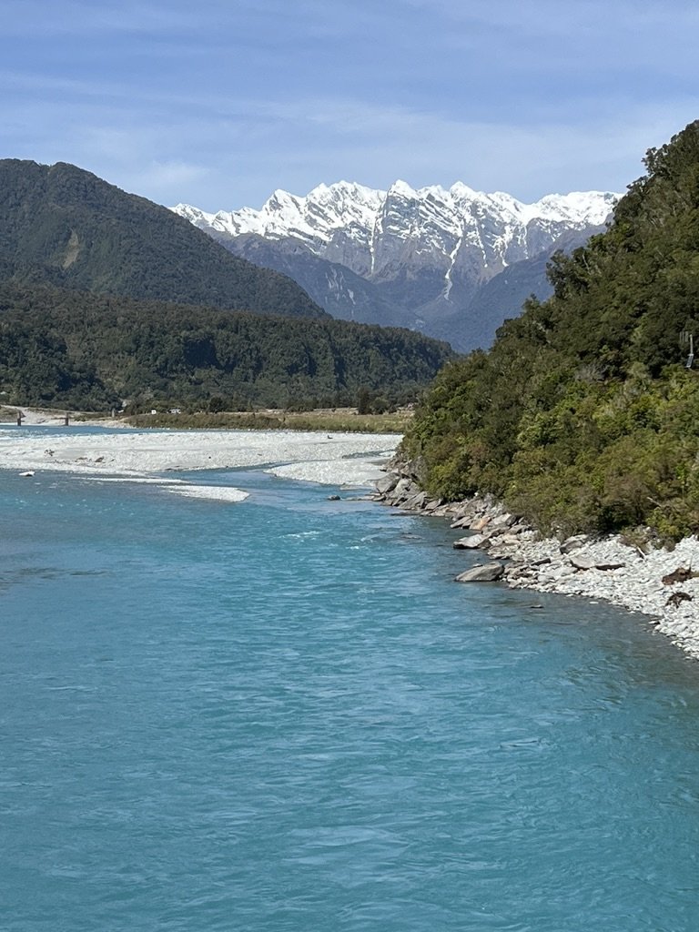
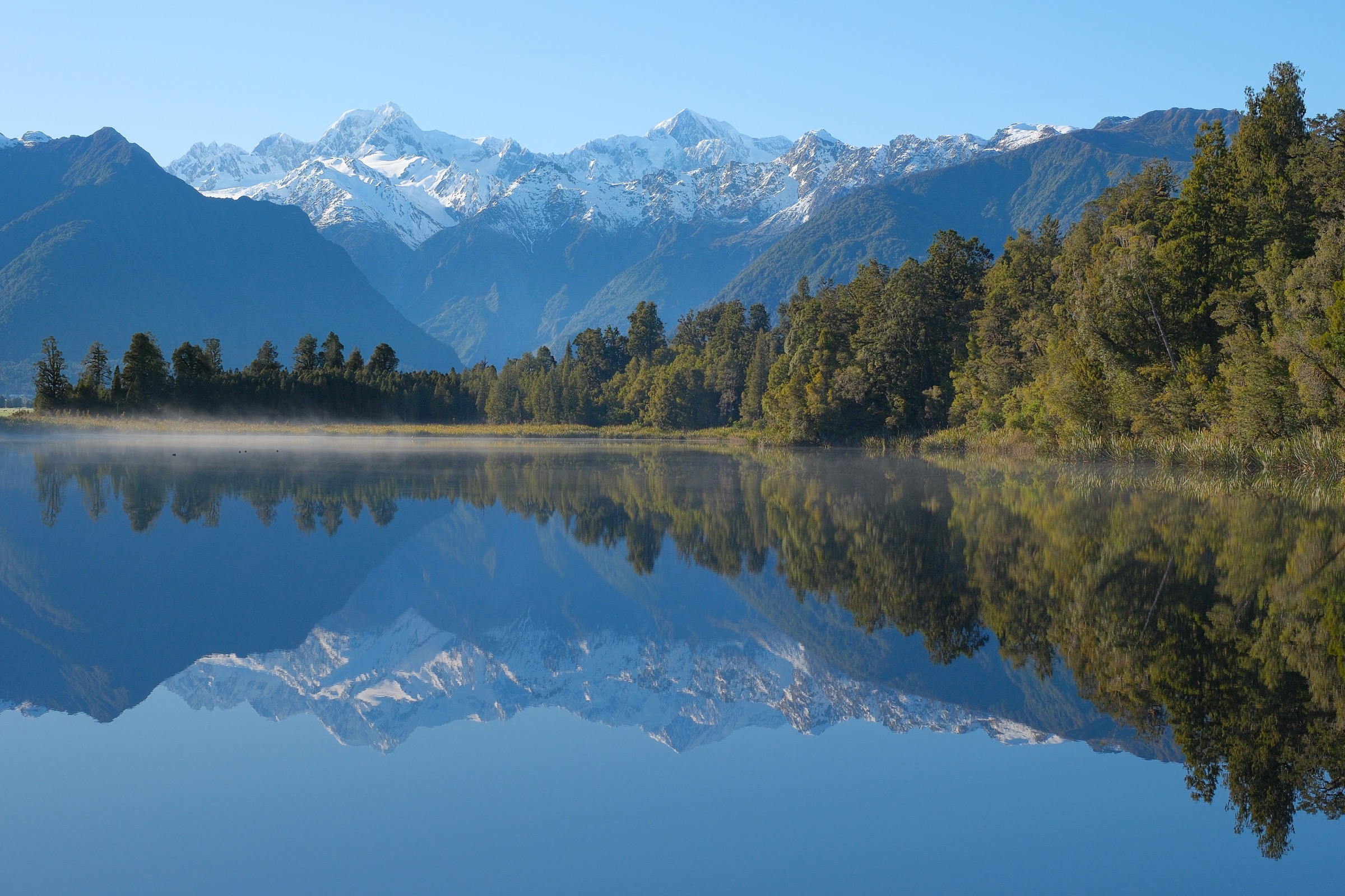
From the Lake Matheson car park, cross the Clearwater suspension bridge and continue to Jetty Viewpoint. The longer circuit continues through ancient forest to the View of Views and Reflection Island before returning to the car park. DOC notes that the dark brown, humus-stained lake water creates the famous mirror reflections of Aoraki / Mount Cook and Mount Tasman.
Why it is essential
Lake Matheson is one of New Zealand’s most recognisable short walks: an easy rainforest circuit around a kettle lake with the classic reflected skyline of Aoraki / Mount Cook and Mount Tasman.
Equipment
Walking shoes, warm and waterproof layer, drinking water, insect repellent, sun protection.
Hazards and notes
- Rapidly changing weather can erase mountain views quickly.
- Watercraft are not permitted on Lake Matheson.
- No dogs; no unauthorised drones.
- Early morning is usually the best time for calm water and clear reflections.
GPX / KML links
| Source | URL | Format / access | Reuse status |
|---|---|---|---|
| DOC: Lake Matheson / Te Ara Kairaumati Walk | doc.govt.nz | Official route page / interactive map | DOC copyright terms; route verified; downloadable route file not found |
| AllTrails: Lake Matheson Walk | alltrails.com | Source route page; GPX usually service-controlled | AllTrails terms apply; reuse not confirmed |
| OpenStreetMap / Waymarked Trails relation | hiking.waymarkedtrails.org | OSM route relation / source map | ODbL; reuse subject to ODbL attribution/share-alike obligations |
External links
2. Fox Glacier South Side Walkway / Cycleway
Snapshot
Itinerary
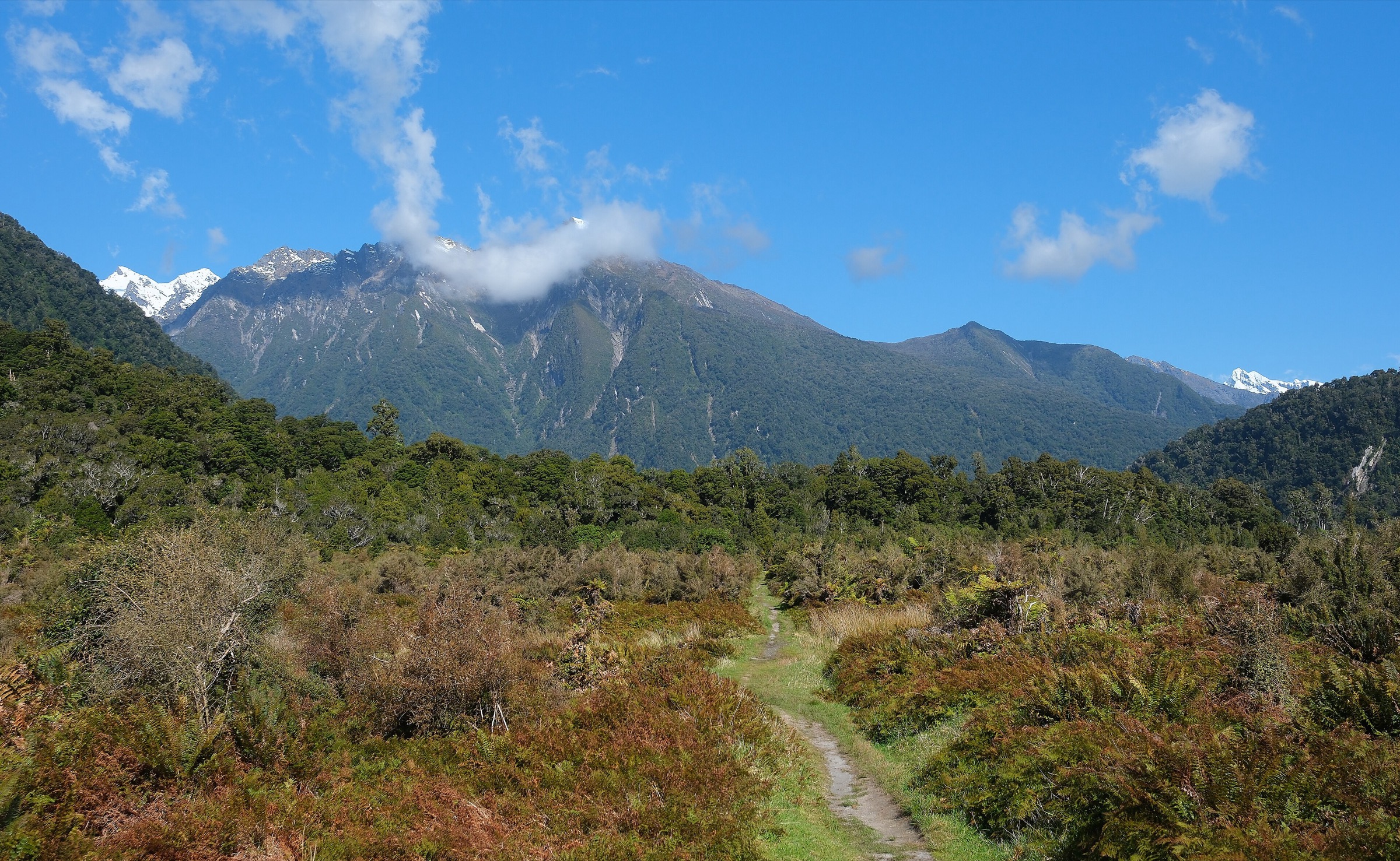
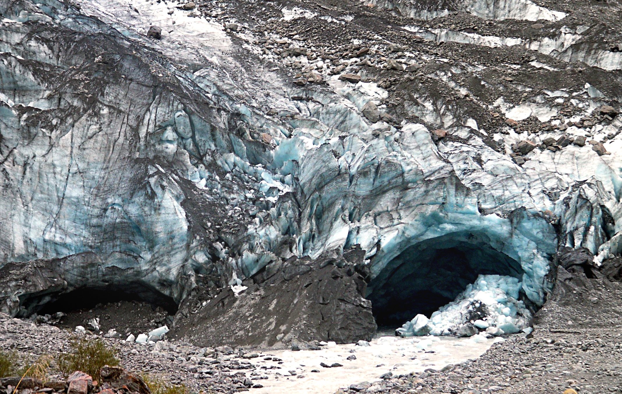
The route follows the south bank of the Fox River through old podocarp rainforest and across ancient moraine surfaces. DOC notes that the first glacier viewpoint is reached after about 40 minutes. From the old car park, bikes must be left behind and walkers continue roughly 10 minutes downhill through rainforest to the final viewpoint.
Why it is essential
This is the current official public walk to a Fox Glacier valley viewpoint: rainforest, moraine interpretation, and a safe stop point facing Fox Glacier / Te Moeka o Tuawe.
Equipment
Sturdy footwear, warm and waterproof clothing, water, insect repellent, sun protection.
Hazards and notes
- DOC warns not to go past the viewpoint due to extreme flood hazard.
- Glacier-valley hazards include rockfall, flooded rivers, river surges, and rapidly changing alpine weather.
- Follow all marked-track signs and never cross barriers.
- No dogs; no unauthorised drones.
GPX / KML links
| Source | URL | Format / access | Reuse status |
|---|---|---|---|
| DOC: Fox Glacier South Side Walkway/Cycleway | doc.govt.nz | Official route page / interactive map | DOC copyright terms; route verified; downloadable route file not found |
| AllTrails: Fox Glacier South Side Walkway | alltrails.com | Source route page; GPX usually service-controlled | AllTrails terms apply; reuse not confirmed |
External links
3. Lake Gault Track
Snapshot
Itinerary
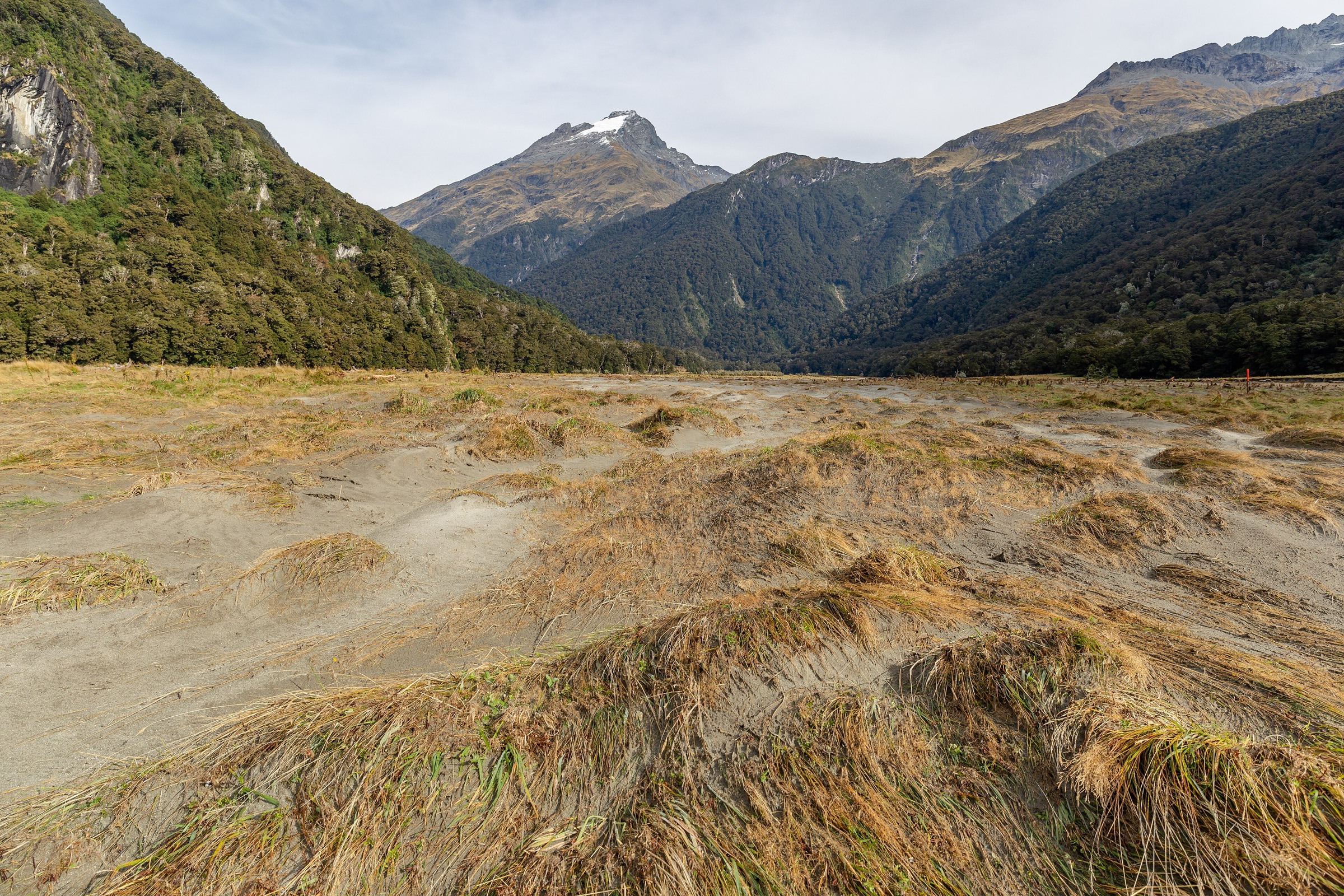
Begin at the Lake Matheson car park and follow the Lake Matheson / Te Ara Kairaumati walk anti-clockwise before taking the Lake Gault branch. The track climbs through original podocarp forest, crosses several small streams, passes a rest seat with views over the river flats, and reaches the Lake Gault lookout and shelter.
Why it is essential
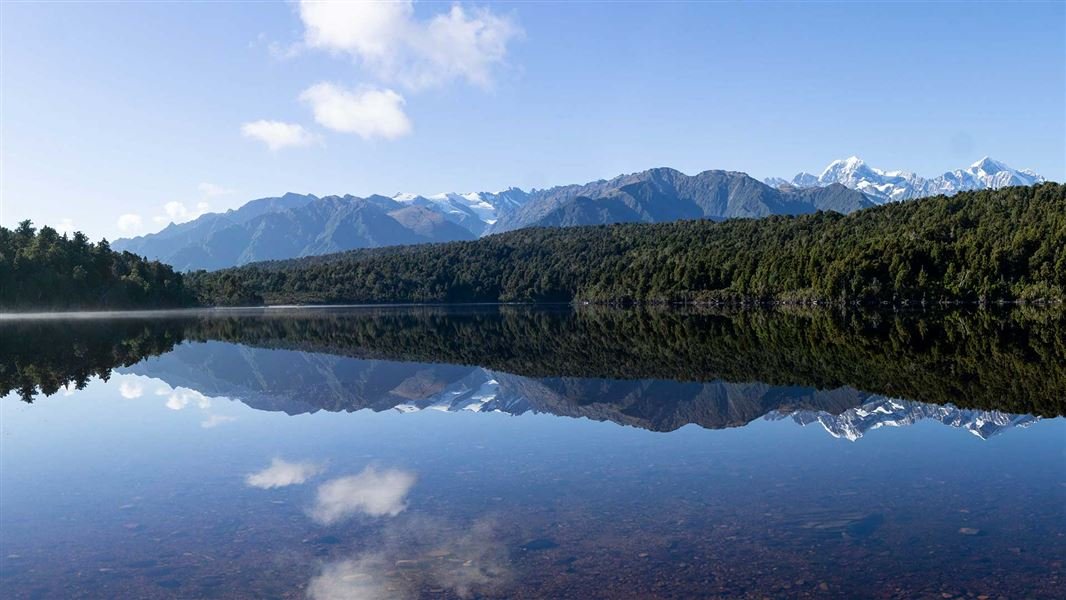
Lake Gault is the quieter companion to Lake Matheson: a restored historic track, rainforest climb, rowi kiwi conservation setting, and another still-water viewpoint toward Aoraki / Mount Cook, Mount Tasman, and the Southern Alps.
Equipment
Sturdy shoes or light boots, waterproof layer, warm layer, water, insect repellent, sun protection.
Hazards and notes
- DOC notes small stream crossings and a 200 m climb.
- The route can be wet and slippery after rain.
- No dogs; no unauthorised drones.
- Carry water; toilets are at Lake Matheson car park and at the Lake Gault track end.
GPX / KML links
| Source | URL | Format / access | Reuse status |
|---|---|---|---|
| DOC: Lake Gault Track | doc.govt.nz | Official route page / interactive map | DOC copyright terms; route verified; downloadable route file not found |
| AllTrails: Lake Matheson Walk and Lake Gault Track | alltrails.com | Source route page; GPX usually service-controlled | AllTrails terms apply; reuse not confirmed |
External links
4. Mount Fox Route
Snapshot
Itinerary
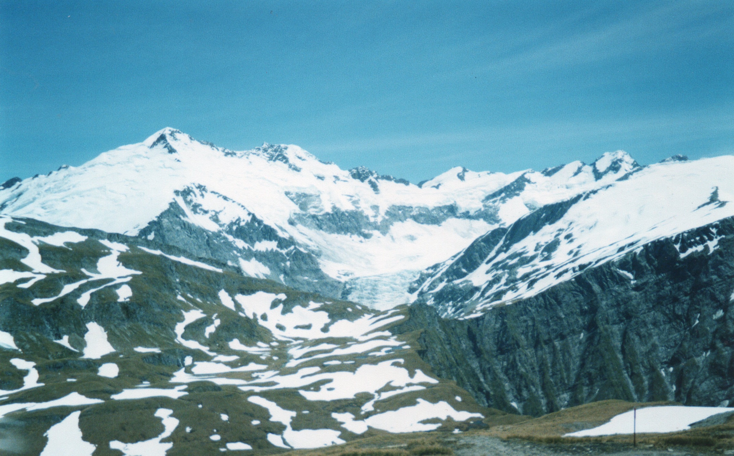
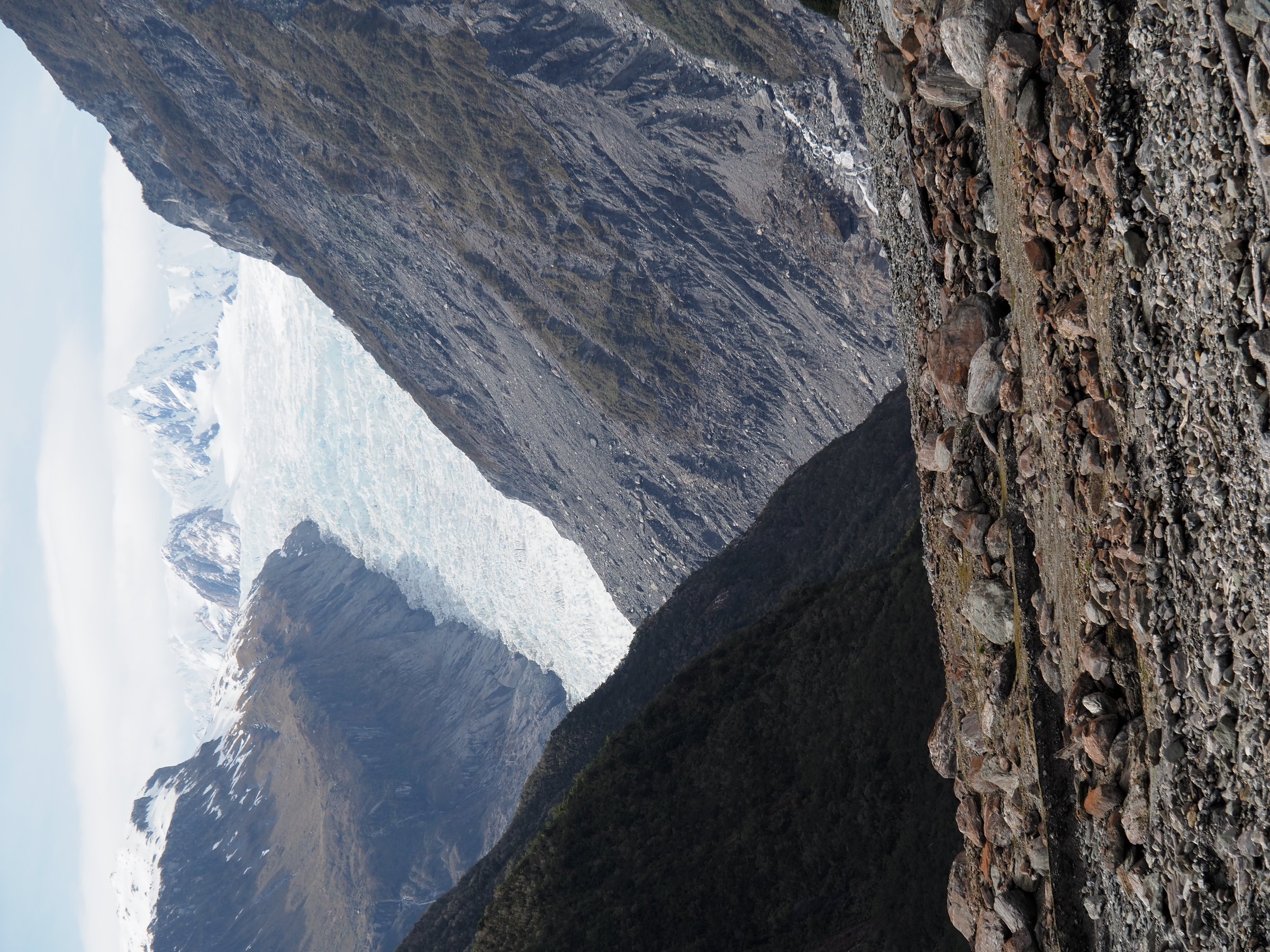
The route climbs steeply through forest up a spur to a trig point at 1,021 m, then follows blue and orange markers through grassland to point 1345. In clear weather it gives one of the area’s finest public views: Fox Glacier / Te Moeka o Tuawe and the Southern Alps in one direction, with coastal forest, farmland, and the Tasman Sea in the other.
Why it is essential
Mount Fox is the Fox Glacier area’s hard, high-view day route. It is short in distance but extremely steep, and it provides the clearest non-technical alpine-style objective in the immediate area.
Equipment
Full tramping kit, boots, waterproofs, warm layers, food, water, map/GPS, headtorch, first aid, emergency shelter, personal locator beacon recommended.
Hazards and notes
- DOC states the route is only suitable for experienced and properly equipped trampers.
- The track is rough and steep; route-finding above the bushline can be difficult in cloud.
- Check with DOC before starting.
- No dogs; no unauthorised drones.
GPX / KML links
| Source | URL | Format / access | Reuse status |
|---|---|---|---|
| DOC: Mount Fox Route | doc.govt.nz | Official route page / interactive map | DOC copyright terms; route verified; downloadable route file not found |
| AllTrails: Mount Fox Route | alltrails.com | Source route page; GPX usually service-controlled | AllTrails terms apply; reuse not confirmed |
External links
5. Galway Beach Tramping Track from Gillespies Beach
Snapshot
Itinerary
From the Gillespies Beach car park, follow the Miners Tunnel Track past gold-mining remains and coastal forest. Turn off at the Galway Beach sign just before the miners tunnel. The tramping track winds through rimu forest to remote Galway Beach, where DOC identifies a winter fur-seal haul-out colony.
Why it is essential
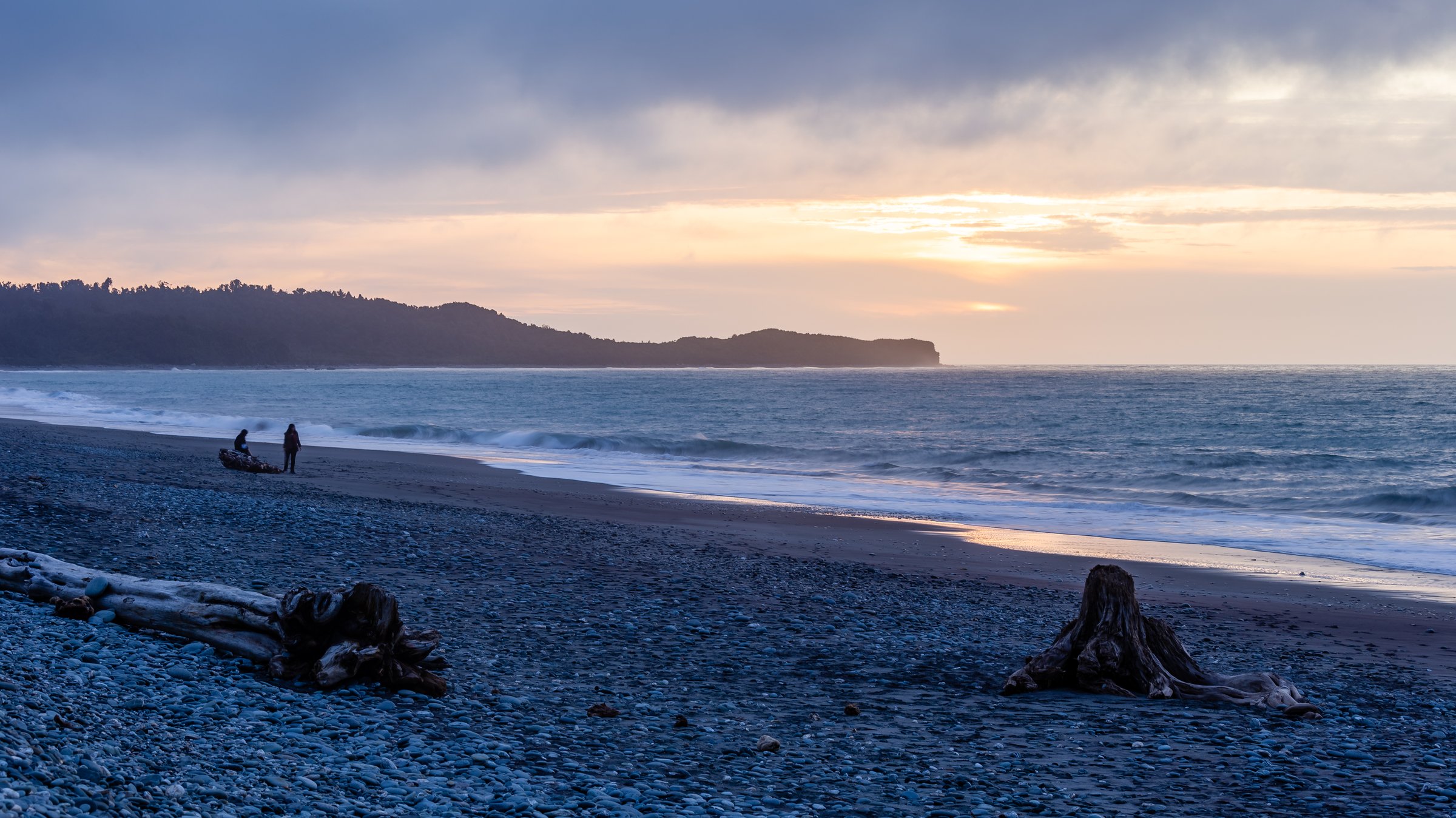
Galway Beach gives the Fox Glacier area its coastal counterpoint: black-sand West Coast beach, old gold-mining routes, forest, Southern Alps views from the approach road and beach, and a remote wildlife context.
Equipment
Sturdy shoes or boots, waterproof layer, warm layer, drinking water, insect repellent, sun protection; tide/swell awareness for beach sections.
Hazards and notes
- Do not disturb seals and never get between seals and the sea.
- DOC says not to walk through the colony to Gillespies Lagoon; return by the track.
- The access road is narrow, winding, partly unsealed, and not suitable for towing vehicles.
- Check current track and weather conditions with DOC before starting.
- No dogs; no unauthorised drones.
GPX / KML links
| Source | URL | Format / access | Reuse status |
|---|---|---|---|
| DOC: Gillespies Beach walking tracks | doc.govt.nz | Official route page / interactive map | DOC copyright terms; route verified; downloadable route file not found |
| Walk My World: Galway Beach Track | walkmyworld.com | Secondary guide / map context | Blog copyright; no GPX found in checked pass; reuse not confirmed |
External links
External links
| Source | URL |
|---|---|
| DOC — Lake Matheson / Te Ara Kairaumati Walk | doc.govt.nz |
| DOC — Fox Glacier South Side Walkway/Cycleway | doc.govt.nz |
| DOC — Lake Gault Track | doc.govt.nz |
| DOC — Mount Fox Route | doc.govt.nz |
| DOC — Gillespies Beach walking tracks | doc.govt.nz |
| AllTrails — Lake Matheson Walk | alltrails.com |
| AllTrails — Fox Glacier South Side Walkway | alltrails.com |
| AllTrails — Lake Matheson Walk and Lake Gault Track | alltrails.com |
| AllTrails — Mount Fox Route | alltrails.com |
| Walk My World — Galway Beach Track | walkmyworld.com |