Regional overview
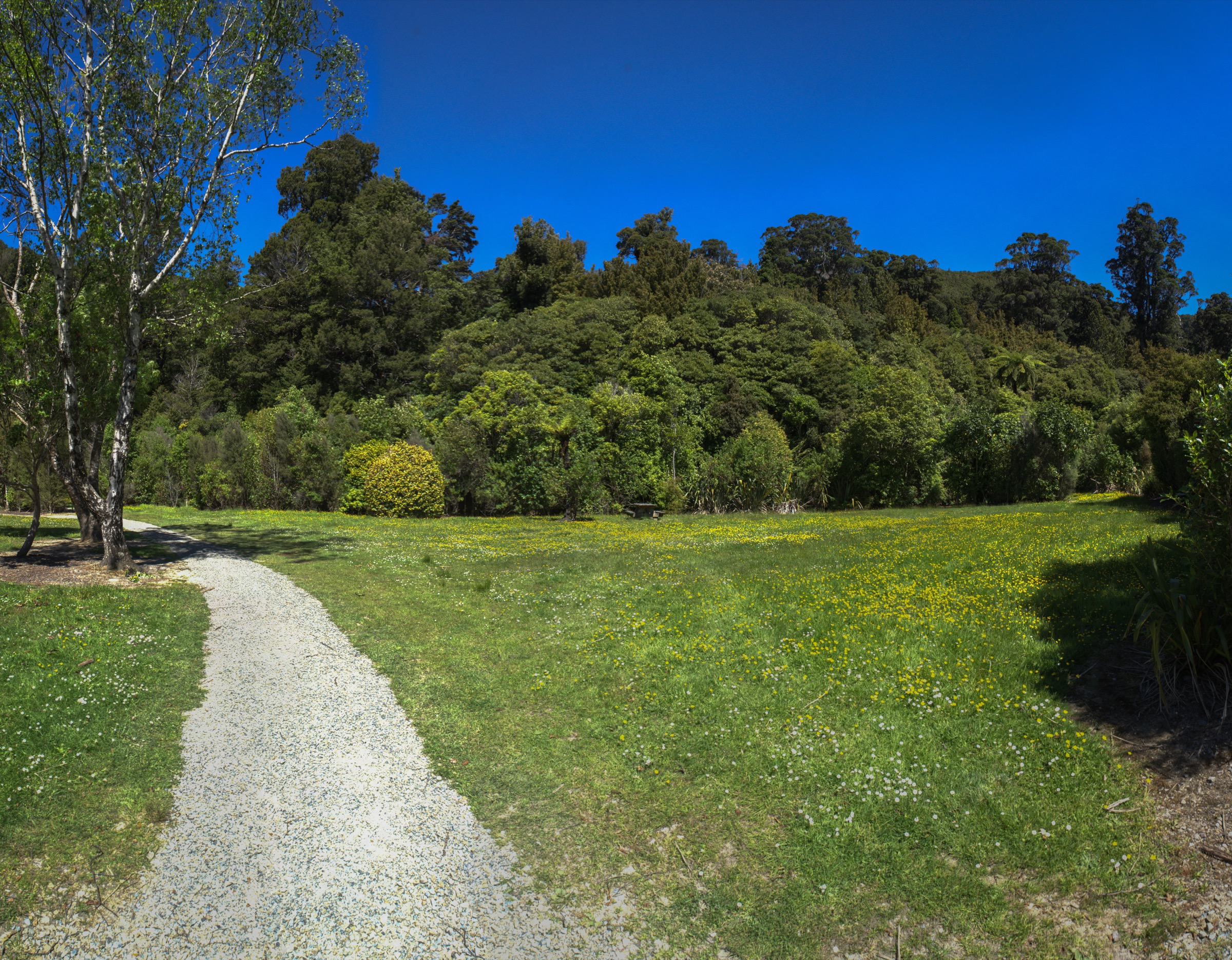
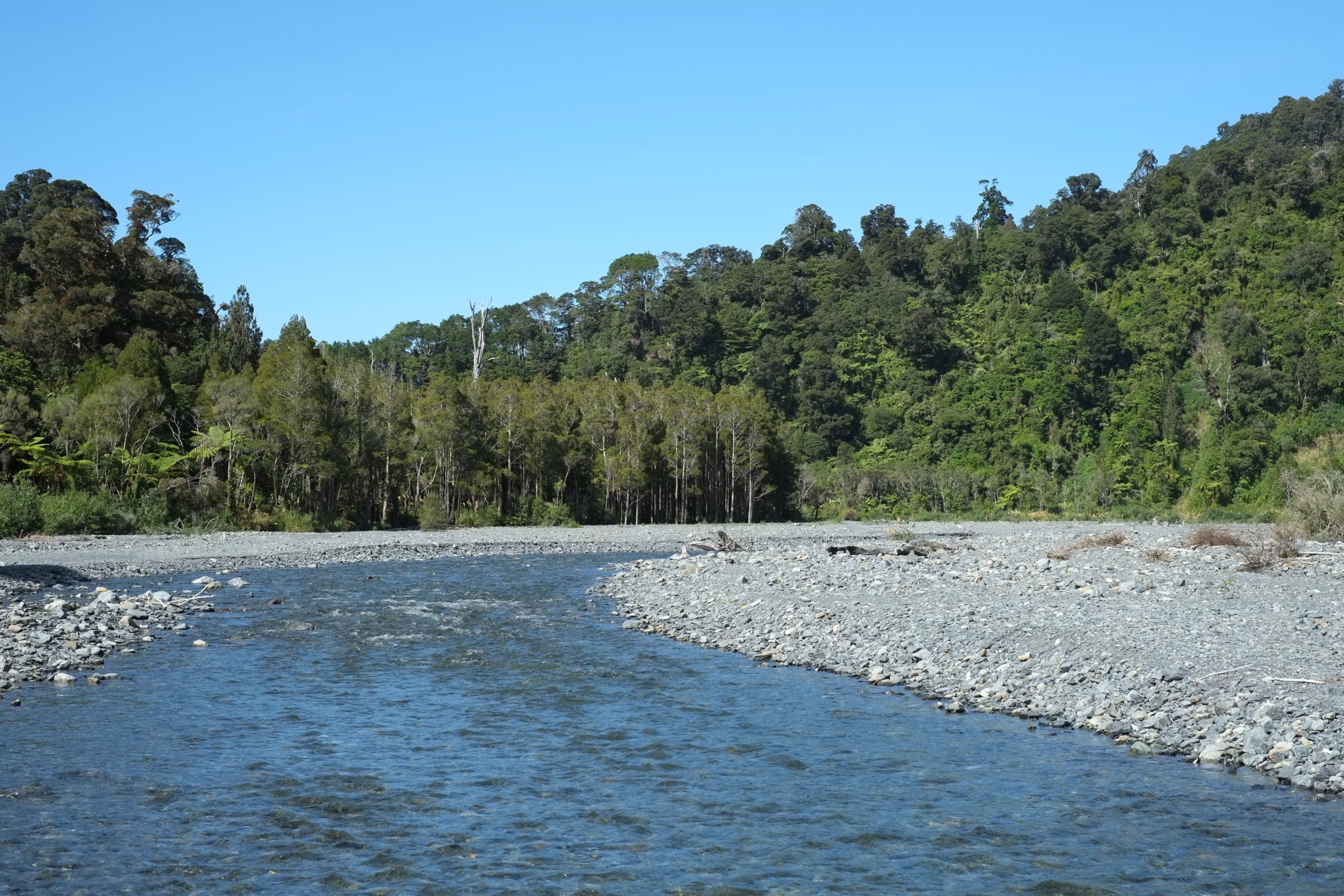
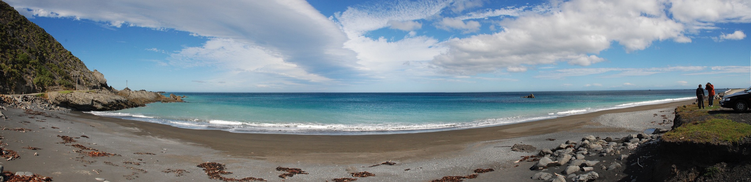
The Southern Remutakas are the exposed coastal end of the range, where East Harbour Regional Park, Baring Head, Pencarrow, the Parangarahu Lakes, Turakirae Head and the Wild Coast meet Cook Strait and Palliser Bay. The walking character is very different from the forested central range: wind-scoured headlands, lighthouse history, coastal lakes, earthquake-raised beaches, seal colonies, low ridges and remote rocky shoreline.
Greater Wellington divides East Harbour Regional Park into the Northern Forest, Baring Head / Orua-pouanui and Parangarahu Lakes areas, and notes access constraints — including no public access between Lake Kohangatera/Parangarahu and Baring Head without landowner permission. DOC manages Pencarrow Lakes and Turakirae Head as conservation areas with sensitive wildlife, lake and coastal features.
These walks are mostly low elevation, but they are not automatically benign. The coast is exposed to wind, tide, storm surge, rockfall, slips, rough surfaces and limited shelter. Tide and weather planning are essential for the Wild Coast and Turakirae areas.
Selection rationale
These five hikes cover the southern sector’s essential themes: Turakirae Head’s raised beaches and seals, the Baring Head lighthouse loop, Pencarrow and the Parangarahu Lakes, the classic East Harbour bush walk to Butterfly Creek, and the long Wild Coast traverse.
Summary table
| # | Hike | Country | Route type | Distance | Approx. gain | Max elevation | Difficulty |
|---|---|---|---|---|---|---|---|
| 1 | Turakirae Head Scientific Reserve | New Zealand | Coastal out-and-back | ~6 km return from the road end | Not verified | ~25 m raised beaches | Easy–moderate remote coast |
| 2 | Baring Head / Orua-pouanui Grand Loop | New Zealand | Loop | 7 km | Not verified | Not verified | Hard (GW rating) |
| 3 | Pencarrow Lighthouse and Parangarahu Lakes | New Zealand | Out-and-back with optional loops | 13.4 km return to lower lighthouse; loops add 3.6–4.4 km | Not verified | Not verified | Easy–medium |
| 4 | Butterfly Creek Loop | New Zealand | Loop with road return | 7.4 km | Not verified | Not verified | Medium |
| 5 | Wild Coast Track: Orongorongo River mouth to Ocean Beach | New Zealand | One-way coastal traverse | 18.6 km | Not verified | 33 m | Intermediate tramping / remote coast |
Before you go
Permits and access
Baring Head / Orua-pouanui, Butterfly Creek and the Parangarahu Lakes area sit within East Harbour Regional Park, managed by Greater Wellington. Pencarrow Lakes and Turakirae Head are DOC conservation areas. The Wild Coast section is a mix of DOC coast, private stations and the Remutaka Cycle Trail corridor. No permits are required for day walking on any of these routes, but Greater Wellington notes there is no through public access between Lake Kohangatera/Parangarahu and Baring Head without landowner permission. Dogs are heavily restricted in East Harbour conservation areas and at Turakirae — check the current park page before travelling.
Standard southern Remutakas day-hiking kit
For open coast, headlands and low forest:
- Sturdy footwear with grip; the coast is rocky, sandy and often slippery.
- Waterproof and windproof shell; wind and rapid weather change are constant on Baring Head and Turakirae.
- Sun protection — the coast has almost no shade.
- Water and food; there is no reliable resupply on any of these routes.
- Tide chart and current Greater Wellington/DOC alerts for the Wild Coast and Turakirae days.
- Personal locator beacon or reliable emergency communication for the Wild Coast traverse.
Common hazards
DOC and Greater Wellington both flag exposure to wind, strong waves and currents, unstable coastal edges, rockfall, slips and slippery surfaces after rain. WellingtonNZ notes an active slip about 1.5 km west of Corner Creek on the Wild Coast section, passable only at low tide. Fur seals occupy long stretches of the Turakirae and Palliser coast; keep at least 20 m clearance and never come between a seal and the sea.
1. Turakirae Head Scientific Reserve
Snapshot
Itinerary
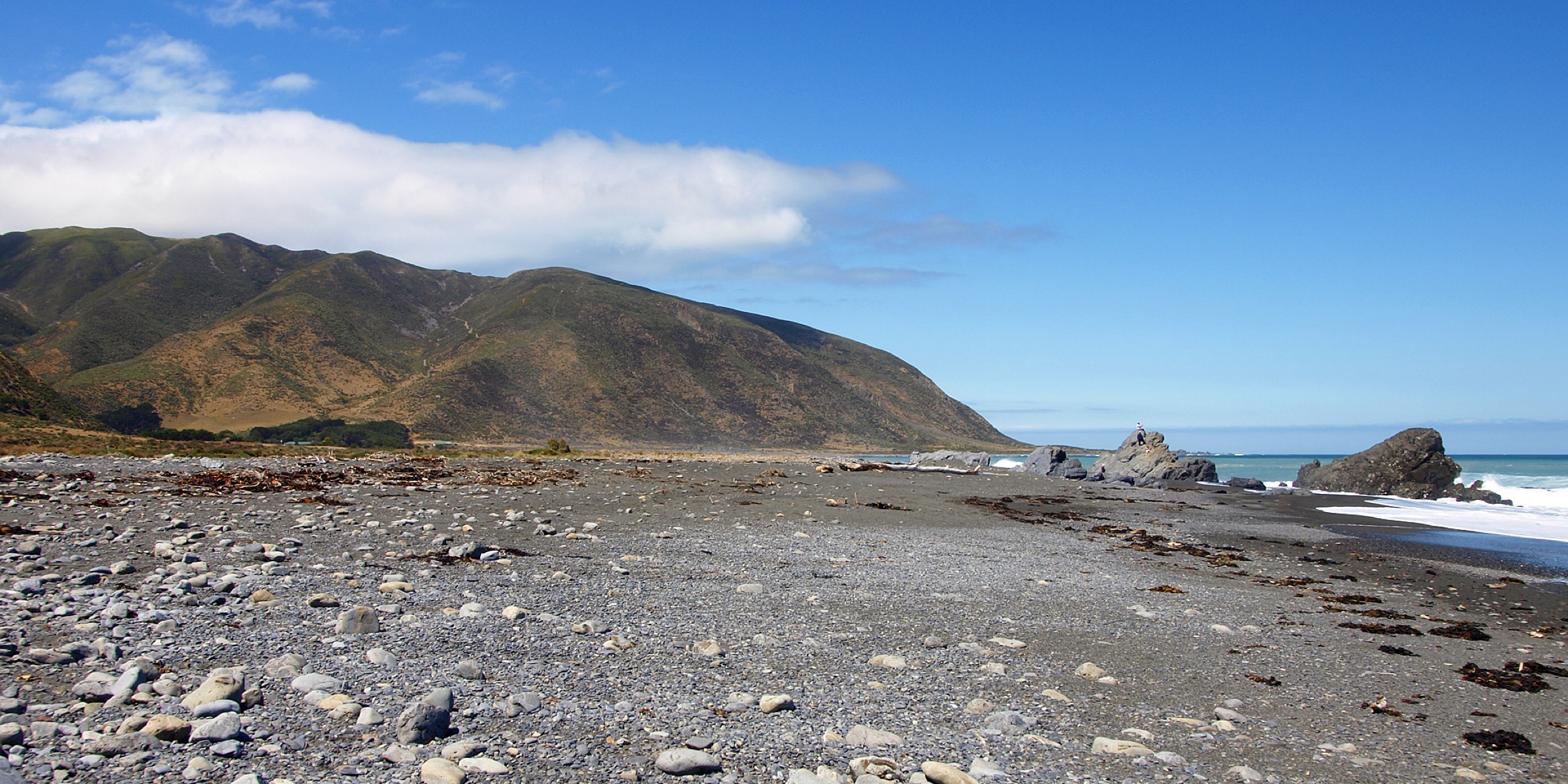
From the Coast Road public car park, follow the permitted covenant/farm access corridor east along the shoreline to Turakirae Head. The route runs the exposed coast to the earthquake-raised beach terraces and the fur seal colony, then returns by the same line.
Why it is essential
Turakirae Head is one of the clearest coastal expressions of Remutaka tectonic uplift and earthquake history, combined with a resident fur seal colony and a wild Palliser Bay setting.
Hazards and notes
- No shelter, strong waves and currents; DOC records regular seal presence.
- No dogs and no fires — the reserve protects sensitive wildlife.
- Access is through a working farm/covenant area for foot access only.
GPX / KML links
| Source | URL | Format | Notes |
|---|---|---|---|
| DOC Turakirae Head Scientific Reserve | doc.govt.nz | Official place/route page | DOC website terms; no GPX/KML found |
Further reading
2. Baring Head / Orua-pouanui Grand Loop
Snapshot
Itinerary
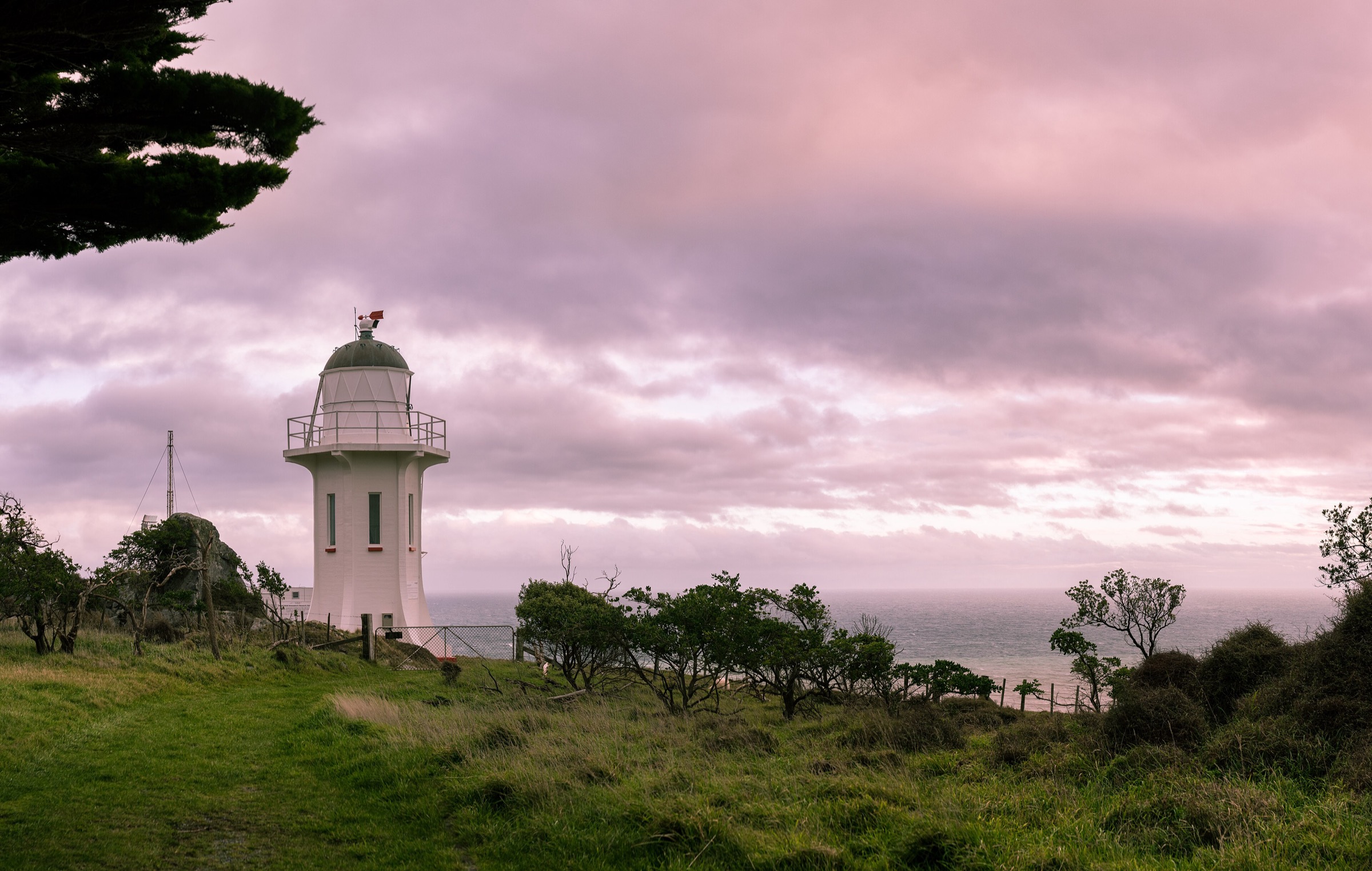
The Grand Loop links the Wainuiomata River valley, the Baring Head lighthouse complex, the Story Hub, the World War II bunkers and open coastal viewpoints before returning to the start.
Why it is essential
Baring Head is the southern Remutakas’ key lighthouse and headland walk, combining maritime history, open coastal grassland and Cook Strait views.
Hazards and notes
- The headland is very exposed to wind and weather; there is essentially no shelter.
- Dogs are not allowed in many East Harbour conservation areas — check the park page.
- Coastal edges are unstable in places; keep clear of cliff tops after rain.
GPX / KML links
| Source | URL | Format | Notes |
|---|---|---|---|
| Greater Wellington East Harbour Regional Park | gw.govt.nz | Official park/trail page and map source | GW terms; no GPX/KML found |
Further reading
3. Pencarrow Lighthouse and Parangarahu Lakes
Snapshot
Itinerary
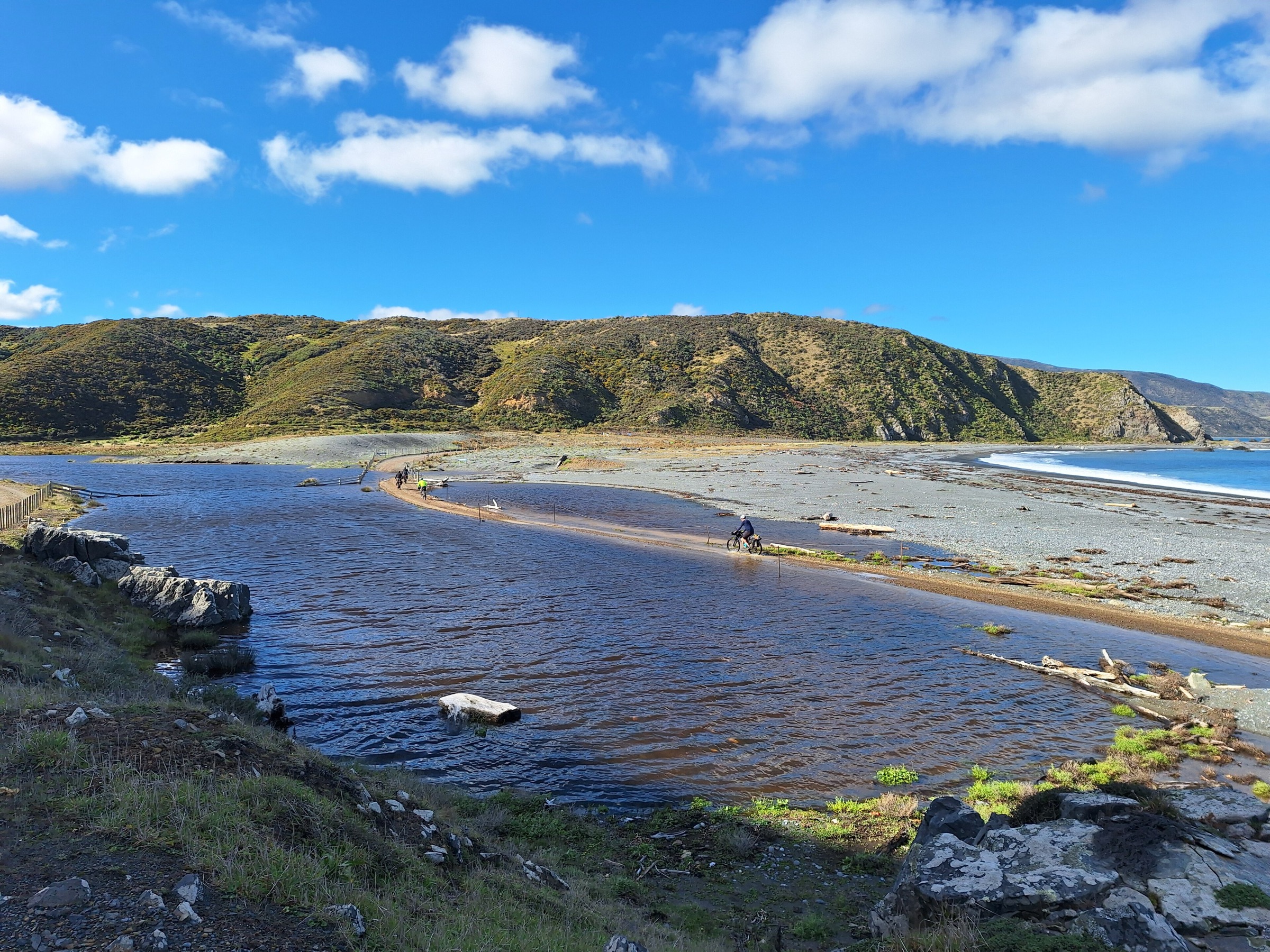
From Burdans Gate, follow the Pencarrow Coast Road along the Cook Strait shore toward the lower lighthouse. Climb to the historic upper Pencarrow Lighthouse, or continue toward the Parangarahu Lakes area, choosing among the Lighthouse Loop, Cameron Ridge, Valley View or lake-side loops depending on time and current access status.
Why it is essential
This route combines New Zealand lighthouse history — Pencarrow was the country’s first permanent lighthouse — with rare coastal freshwater lakes, wetland values and a long classic Cook Strait coastline.
Hazards and notes
- Check East Harbour / Parangarahu access restrictions before combining areas; there is no through access to Baring Head without landowner permission.
- Dogs are restricted: allowed on the coast road but not within the park/lakes conservation areas.
- No fires and no boats in the sensitive lake areas.
GPX / KML links
| Source | URL | Format | Notes |
|---|---|---|---|
| DOC Pencarrow Lakes | doc.govt.nz | Official place/route page | DOC website terms; no GPX/KML found |
| Greater Wellington East Harbour Regional Park | gw.govt.nz | Official park/trail map source | GW terms; no GPX/KML found |
Further reading
4. Butterfly Creek Loop
Snapshot
Itinerary
The loop climbs from the Eastbourne side into the East Harbour Northern Forest, descends into the Butterfly Creek picnic valley, then returns by the Kowhai Track and a short road section.
Why it is essential
Butterfly Creek is the classic East Harbour bush walk: it is accessible from the Wellington Harbour side but still delivers native forest, ridge travel and a sheltered picnic valley.
Hazards and notes
- Expect tree roots, steps and muddy surfaces after rain.
- A short road section at the end closes the loop — watch for traffic.
- No licence-compatible route-specific image meeting our resolution floor was located for this entry; check the Greater Wellington park page for current photos and alerts.
GPX / KML links
| Source | URL | Format | Notes |
|---|---|---|---|
| Greater Wellington East Harbour Regional Park | gw.govt.nz | Official park/trail page and map source | GW terms; no GPX/KML found |
Further reading
5. Wild Coast Track: Orongorongo River mouth to Ocean Beach
Snapshot
Itinerary
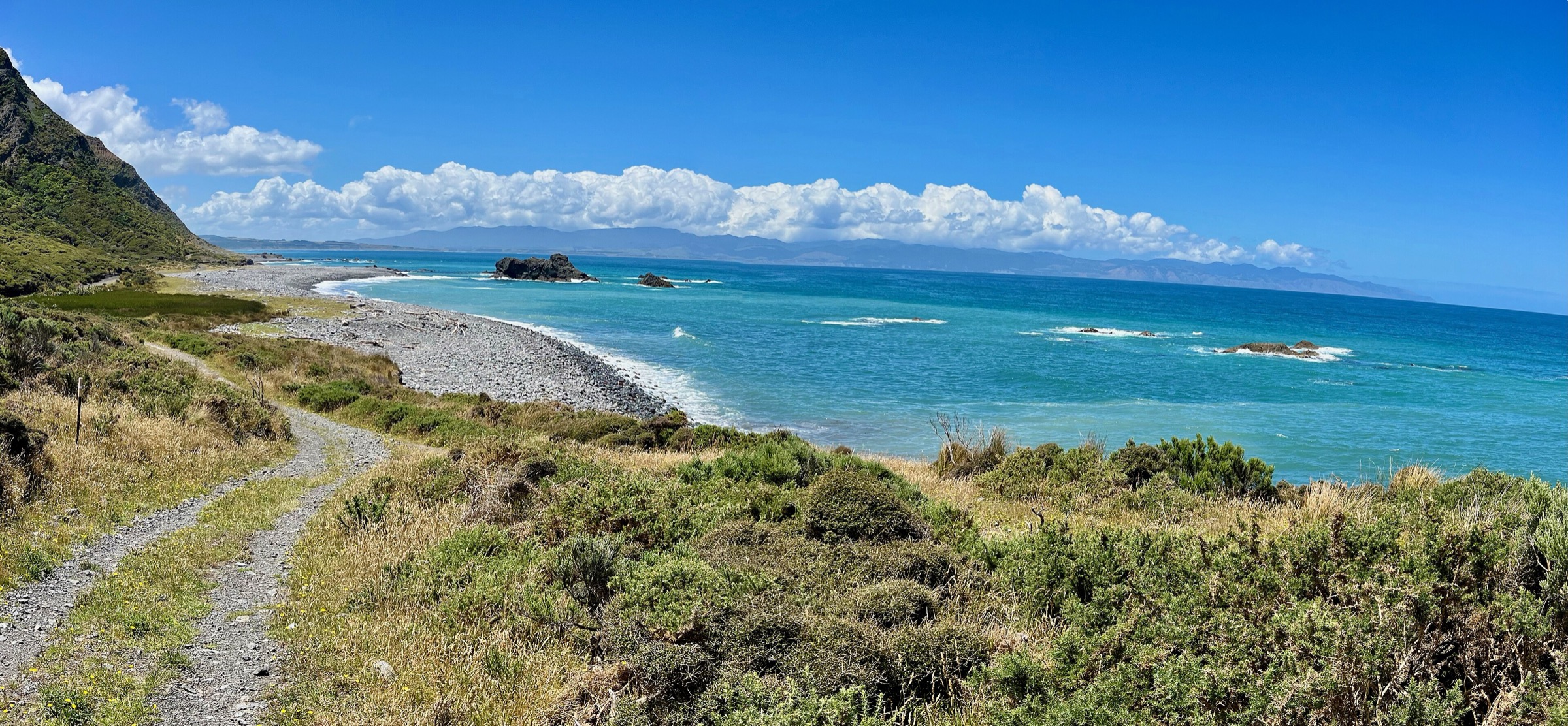
Follow the exposed Palliser Bay coast between the Orongorongo River mouth and the Ocean Beach / Corner Creek area. The route crosses remote rocky and sandy shoreline, passes through the Orongorongo Station landscape, and connects with the Turakirae Head coast further west.
Why it is essential
This is the southern Remutakas’ long wild-coast day — a sharp contrast with the forested central Remutaka Forest Park and a full expression of the range’s uplifted, storm-beaten shoreline.
Hazards and notes
- WellingtonNZ records an active slip about 1.5 km west of Corner Creek, passable only at low tide.
- Avoid high tide, storms and periods after heavy rain; rockfall and landslide debris are recurrent.
- Expect stream crossings, soft sand and no shelter; carry a personal locator beacon or reliable emergency communication.
GPX / KML links
| Source | URL | Format | Notes |
|---|---|---|---|
| WellingtonNZ Wild Coast Track section | wellingtonnz.com | Trail page / source map | WellingtonNZ terms; no GPX/KML found |
| DOC Turakirae Head Scientific Reserve | doc.govt.nz | Adjacent conservation-area page | Access and hazard cross-check |
Further reading
Verification notes
- Turakirae Head distance is derived from DOC’s note that the road ends about 3 km short of the head; total distance and elevation gain are not officially published.
- Baring Head Grand Loop distance and time are taken from the Greater Wellington East Harbour page; individual leg distances and elevation are not published in a single source.
- Pencarrow / Parangarahu combined-day distance depends on which loops (Lighthouse Loop, Cameron Ridge, Valley View / Kohangatera) are added to the Burdans Gate → Lower Lighthouse core; access between Kohangatera and Baring Head requires landowner permission.
- Butterfly Creek Loop distance and time are from the Greater Wellington East Harbour page; no elevation figures were located, and no licence-compatible route-specific image meeting our resolution floor was found.
- Wild Coast Track distance and maximum elevation are from the WellingtonNZ section page; walking time is not published there, and the current-condition slip west of Corner Creek should be re-checked before travel.
Companion guides
- Northern Remutakas: essential day-hikes — the Upper Hutt and Wairarapa gateway, including the Remutaka Rail Trail and Mount Climie.
- Remutaka Forest Park: essential day-hikes — the central forested Orongorongo/Catchpool valleys behind Wainuiomata.
Further reading
| Source | URL |
|---|---|
| DOC Turakirae Head Scientific Reserve | doc.govt.nz |
| DOC Pencarrow Lakes | doc.govt.nz |
| Greater Wellington East Harbour Regional Park | gw.govt.nz |
| WellingtonNZ Wild Coast Track section | wellingtonnz.com |
| Wikipedia — Remutaka Range | en.wikipedia.org |
| Wikipedia — Pencarrow Head Lighthouse | en.wikipedia.org |
| Wikipedia — Baring Head | en.wikipedia.org |