Regional overview
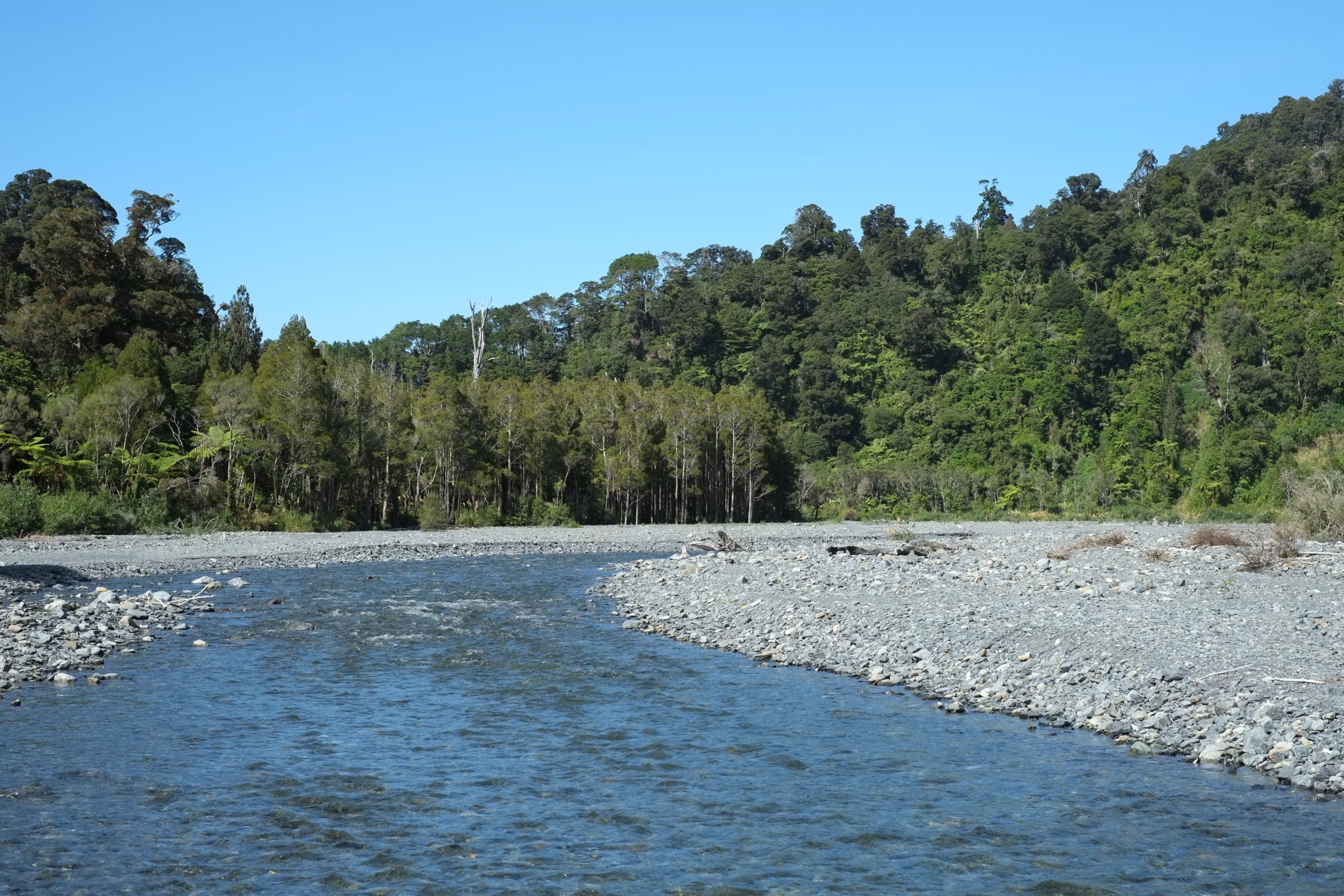
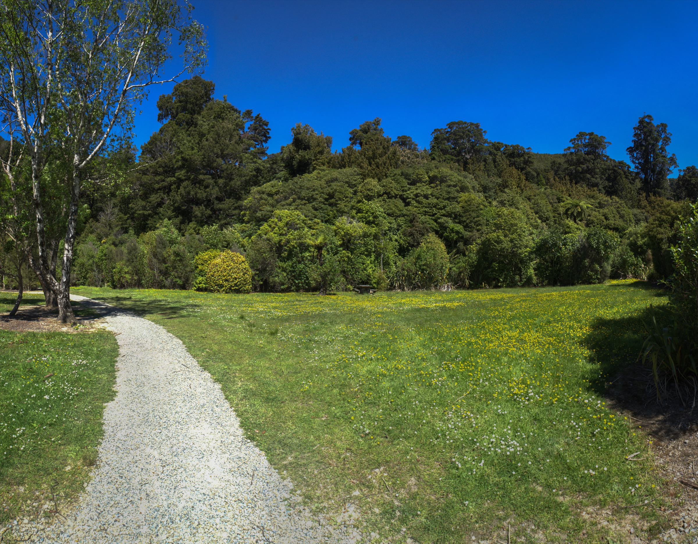
The Northern Remutakas are the accessible Upper Hutt and Wairarapa gateway to the range: Pākuratahi Forest, Tunnel Gully, Kaitoke Regional Park, Te Marua and the historic Remutaka rail corridor. The walking character is a mix of railway heritage, native forest, river terraces, short family loops, and longer ridge or summit outings on the northern flanks of the range.
Greater Wellington identifies Pākuratahi Forest as the Remutaka Cycle Trail / Great Ride corridor and describes Tunnel Gully as sitting at the foot of Mount Climie, the area’s highest point at 830 m. Kaitoke Regional Park adds the Pākuratahi and Hutt River headwater setting, with ridge walks, creek loops and forested picnic valleys.
The usual walking season is year-round in suitable weather, but exposed tops and the rail-trail summit area can be cold, windy and wet. Carry a torch for the rail tunnels, check current Greater Wellington park alerts, and be prepared for mud, stream edges, wind and rapidly changing conditions.
Selection rationale
These five hikes represent the northern sector’s essential range of day walks: the historic Remutaka Rail Trail, the Mount Climie summit climb, the compact Tunnel Gully forest walk, the Kaitoke Ridge traverse, and the steeper Norbett Creek loop above Kaitoke.
Summary table
| # | Hike | Country | Route type | Distance | Approx. gain | Max elevation | Difficulty |
|---|---|---|---|---|---|---|---|
| 1 | Remutaka Rail Trail: Kaitoke to Cross Creek | New Zealand | One-way rail trail | ~18 km (DOC) | Not verified | ~437 m (WellingtonNZ profile) | Easy–intermediate |
| 2 | Mount Climie from Tunnel Gully | New Zealand | Out-and-back on access road | ~12 km | Not verified | ~830 m | Moderate–hard fitness |
| 3 | Tane’s Track, Tunnel Gully | New Zealand | Loop | ~2.3 km | Not verified | ~234 m | Easy |
| 4 | Kaitoke Ridge Track | New Zealand | One-way or return | ~7.5 km one way | Not verified | Not verified | Moderate |
| 5 | Norbett Creek Loop | New Zealand | Loop | Not verified | Not verified | Not verified | Moderate; steep sections |
Before you go
Permits and access
The Remutaka Rail Trail sits within Remutaka Forest Park, managed by DOC. Tunnel Gully, Pākuratahi Forest and Kaitoke Regional Park are managed by Greater Wellington Regional Council. No permits are required for day walking on any of these five routes. Dogs are subject to Greater Wellington’s park-specific rules — check the current park page before travelling. Vehicles are permitted only on marked access roads (including the Mount Climie access road); private vehicles may operate on some service tracks.
Standard northern Remutakas day-hiking kit
For a mix of rail trail, forest and ridge:
- Sturdy footwear with grip — the ridge and creek tracks can be muddy and root-strewn.
- Waterproof and windproof shell; warm layer for the exposed rail-trail summit area and Mount Climie.
- Torch or headtorch for the rail tunnels (Summit and Siberia); bike lights if using a bike on either end.
- Water and food for the day; there is no reliable resupply on the ridge or the Rail Trail summit crossing.
- Map and offline navigation on the ridge tracks; Greater Wellington park maps for reference.
Common hazards
Greater Wellington and DOC both note extreme wind and rapid weather change on the exposed rail-trail summit and on Mount Climie. Rail-trail tunnels are dark and uneven; watch for cyclists. Kaitoke and Norbett tracks can be very slippery after rain, with steep unsealed descents. Stream crossings on the Pākuratahi and Hutt headwaters can rise fast after storms.
1. Remutaka Rail Trail: Kaitoke to Cross Creek
Snapshot
Itinerary
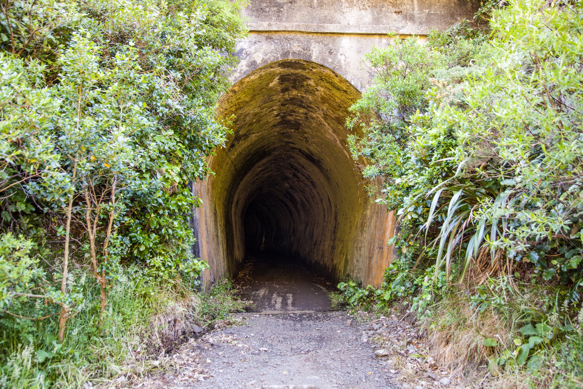
From Kaitoke, follow the old railway formation through cuttings, tunnels, bridges and regenerating bush to the Summit area. Continue over the historic Remutaka Incline corridor, passing railway heritage sites and the exposed Siberia Gully, then descend to Cross Creek on the Wairarapa side.
Why it is essential
This is the northern Remutakas’ signature historic route: it follows the former railway over the range and links Upper Hutt with Wairarapa railway heritage in a long but non-technical day.
Hazards and notes
- Dark tunnels, uneven surfaces, washouts and exposed drop-offs; carry a torch.
- Extreme wind and rapid weather change on the exposed summit crossing.
- Watch for cyclists in the tunnels; the Summit to Cross Creek segment is Grade 3 for bikes.
GPX / KML links
| Source | URL | Format | Notes |
|---|---|---|---|
| DOC Remutaka Rail Trail | doc.govt.nz | Official route page | DOC website terms |
| WellingtonNZ Remutaka Rail Trail section | wellingtonnz.com | Trail page | Secondary source; terms not checked |
| Greater Wellington Pākuratahi Forest | gw.govt.nz | Park page | Access and park-status reference |
Further reading
- DOC Remutaka Rail Trail
- WellingtonNZ Remutaka Rail Trail section
- Greater Wellington Pākuratahi Forest
2. Mount Climie from Tunnel Gully
Snapshot
Itinerary
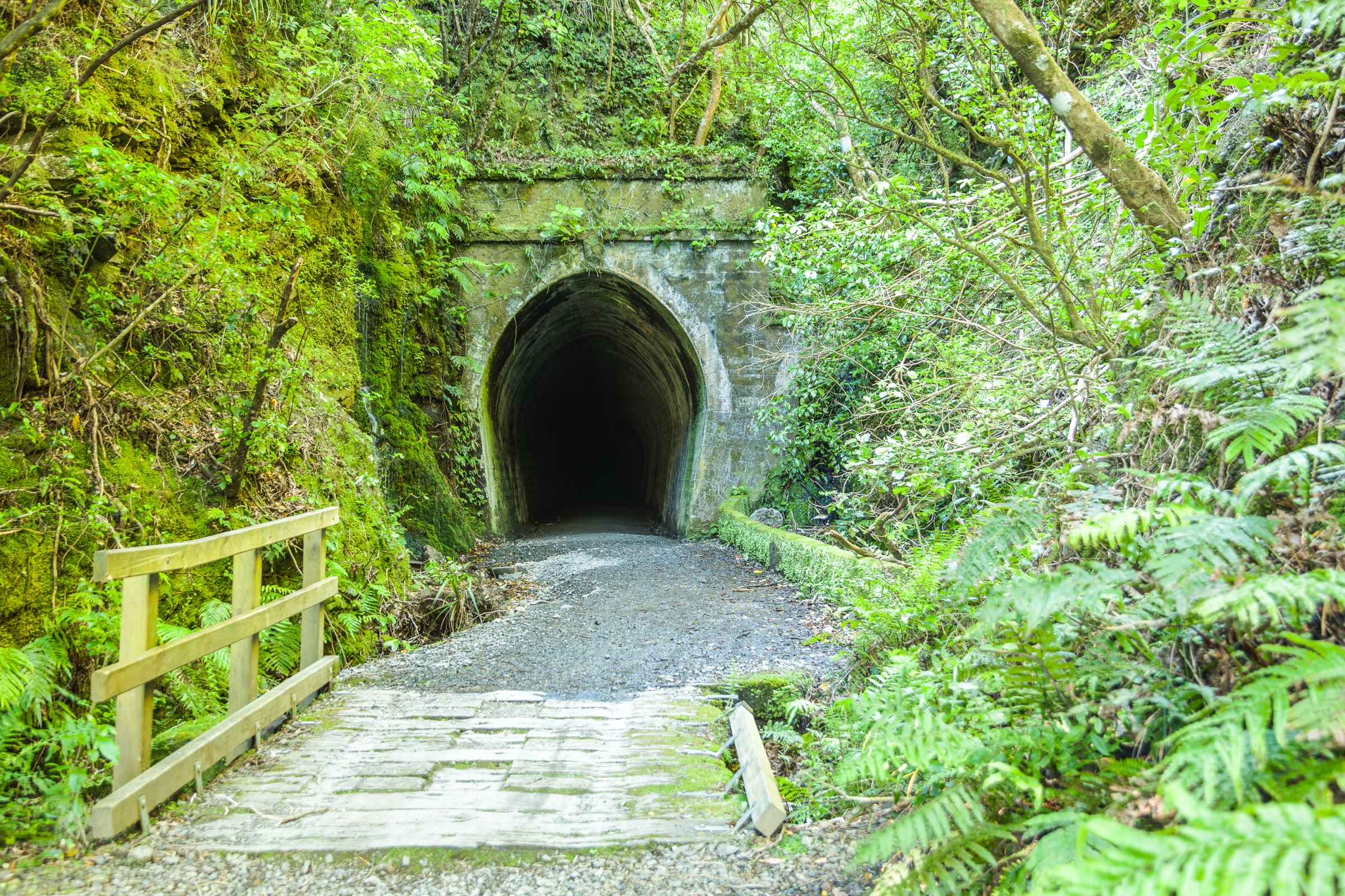
From the top Tunnel Gully car park, follow the Mount Climie access road uphill for about 6 km. The route climbs steadily through forest edge and open service-road terrain to the communications area on Mount Climie, then returns by the same road.
Why it is essential
Mount Climie is the highest northern Remutaka summit commonly reached by a straightforward day walk, giving broad views over Upper Hutt, Wellington Harbour, Wairarapa and the surrounding ranges in clear weather.
Hazards and notes
- The route is exposed near the top; watch for authorised service vehicles.
- Weather at 830 m can be much colder and windier than the valley — carry a warm layer even in summer.
- The service road drains poorly in places; boots or trail runners with grip are worth carrying.
GPX / KML links
| Source | URL | Format | Notes |
|---|---|---|---|
| Greater Wellington Pākuratahi Forest | gw.govt.nz | Official park/trail page | Access and park-status reference |
| OpenStreetMap: Mount Climie | openstreetmap.org | OSM area | ODbL; attribution required |
Further reading
3. Tane’s Track, Tunnel Gully
Snapshot
Itinerary
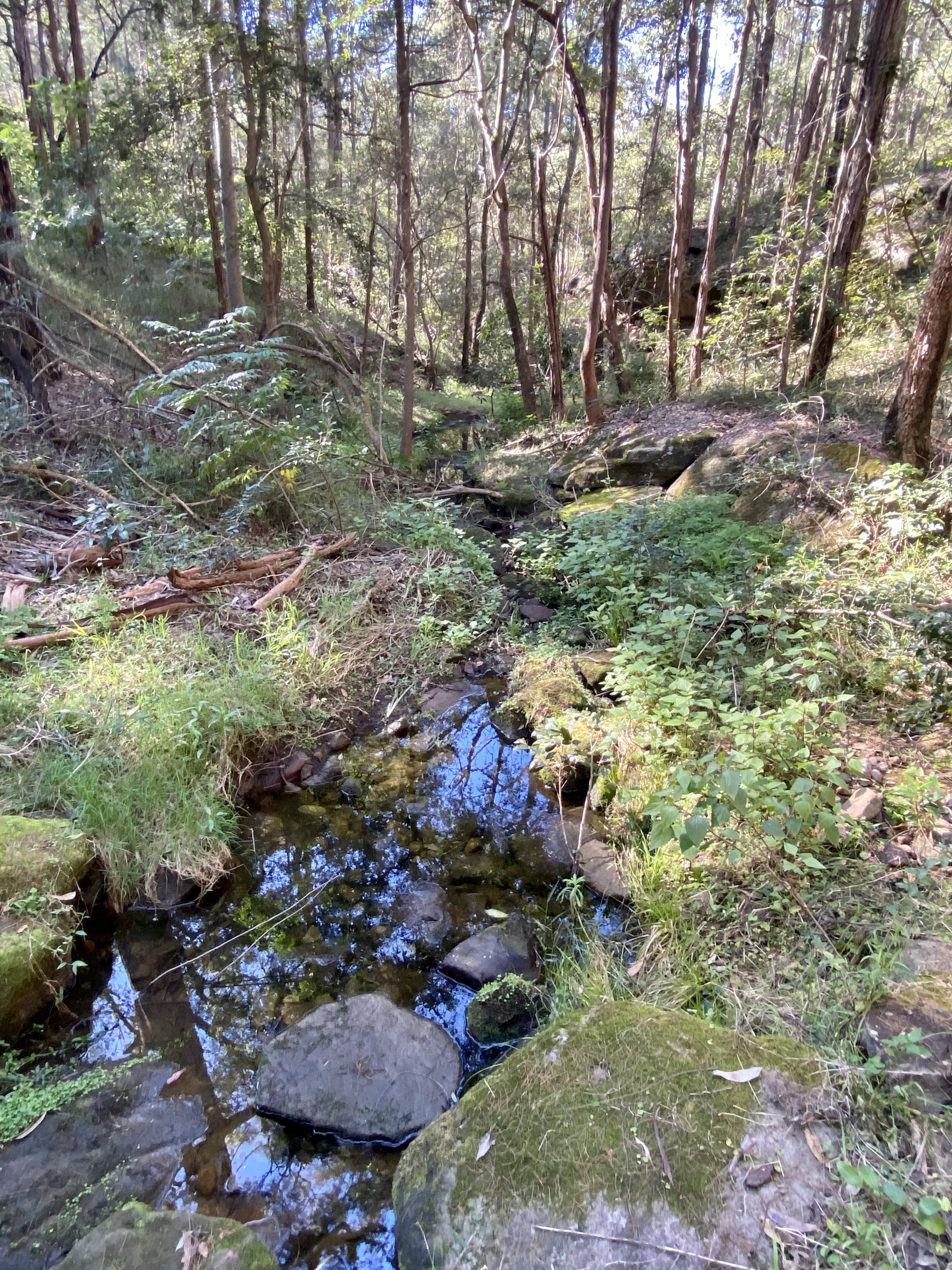
The loop passes through native rimu, matai, kahikatea and tawa forest, crosses Collins Stream, and visits a small waterfall. It sits within the wider Tunnel Gully rail-heritage setting.
Why it is essential
Tane’s Track is the most accessible short forest walk in the northern Remutakas — a compact way to sample the range’s lowland bush and railway-history gateway without committing to a hill day.
Hazards and notes
- Tree roots and short steeper sections; boardwalk can be slippery after rain.
- Suitable for families; still carry a rain layer.
- Trail furniture and heritage plaques are worth reading — the rail-heritage context is part of the walk.
GPX / KML links
| Source | URL | Format | Notes |
|---|---|---|---|
| WellingtonNZ Tane’s Track | wellingtonnz.com | Trail page | Secondary source; terms not checked |
| Greater Wellington Pākuratahi Forest | gw.govt.nz | Official park page | Access and cross-check reference |
Further reading
4. Kaitoke Ridge Track
Snapshot
Itinerary
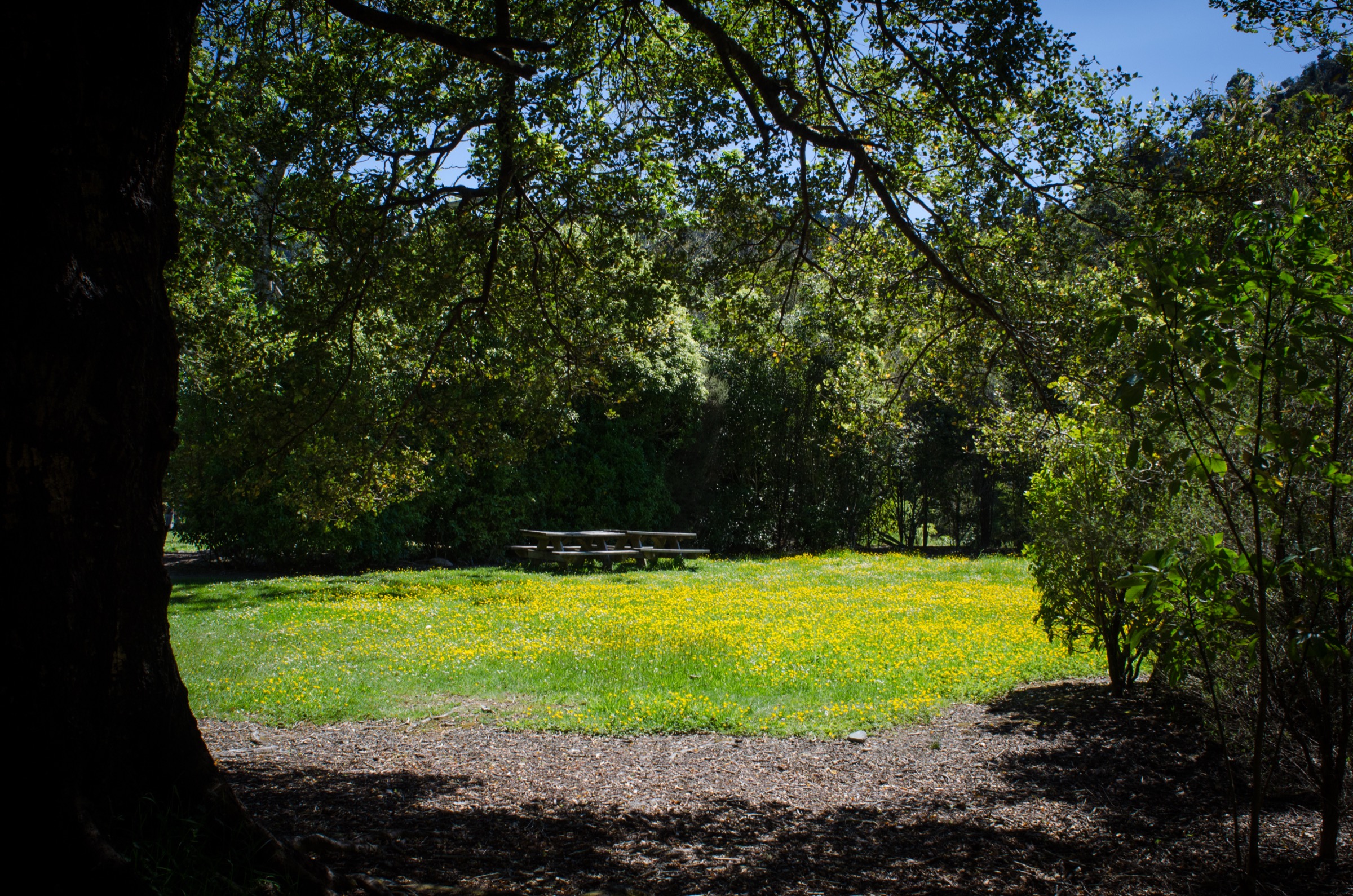
The track links the Pākuratahi Forks side of Kaitoke with the Te Marua entrance by way of a forested ridge. Views open toward the Upper Hutt Valley and the water-storage lakes, with forest sections throughout and a longer return commitment if no shuttle is arranged.
Why it is essential
This is the best day-length ridge option in the northern Remutakas: it adds a skyline character that the rail and valley walks do not provide, without the exposure of Mount Climie.
Hazards and notes
- Plan transport carefully — walking out-and-back turns a 7.5 km leg into a 15 km day.
- The ridge can be wet, muddy or windy in poor weather.
- Some sections are narrow; watch footing on descent.
GPX / KML links
| Source | URL | Format | Notes |
|---|---|---|---|
| Greater Wellington Kaitoke Regional Park | gw.govt.nz | Official park page | Access and park-status reference |
| OpenStreetMap: Kaitoke Regional Park | openstreetmap.org | OSM area | ODbL; attribution required |
Further reading
5. Norbett Creek Loop
Snapshot
Itinerary
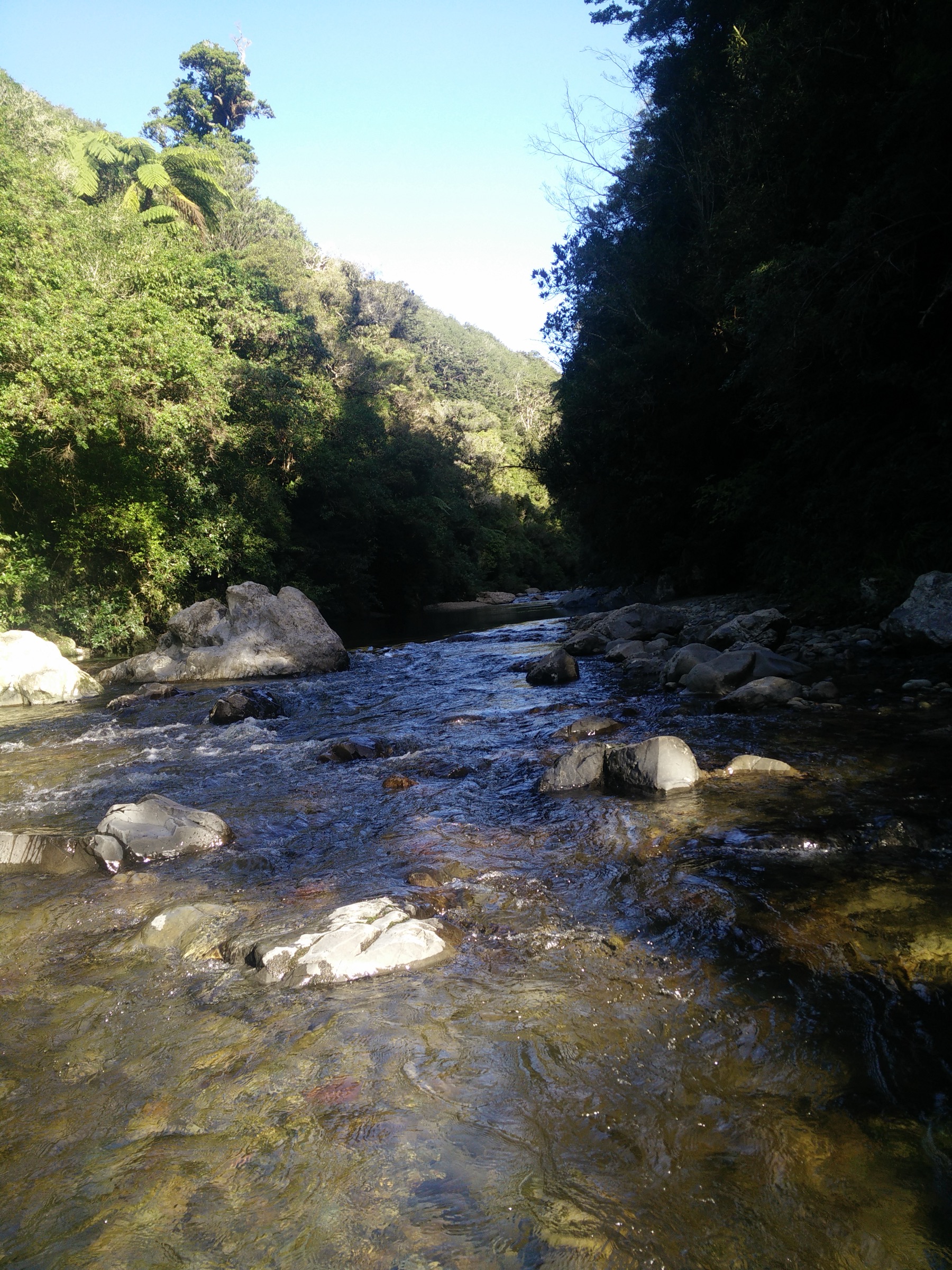
Climb steeply beside Norbett Creek to Catchment Road, gaining views across the Hutt Valley and Wellington Harbour in clear weather, and return by road and the Pākuratahi River Walk to close the loop.
Why it is essential
Norbett Creek is the strongest short-to-half-day Kaitoke hill walk: it combines creek-side forest, a real climb and open views without requiring a full ridge traverse.
Hazards and notes
- Steep and slippery sections are likely after rain; carry poles if descending in wet conditions.
- Check current Kaitoke park notices before departure — Greater Wellington closes sections for maintenance and after storms.
- Loop finish along the Pākuratahi River Walk can be affected by river level after major rain.
GPX / KML links
| Source | URL | Format | Notes |
|---|---|---|---|
| Greater Wellington Kaitoke Regional Park | gw.govt.nz | Official park page | Access and park-status reference |
| OpenStreetMap: Kaitoke Regional Park | openstreetmap.org | OSM area | ODbL; attribution required |
Further reading
Further reading
| Source | URL |
|---|---|
| DOC Remutaka Rail Trail | doc.govt.nz |
| DOC Remutaka Forest Park | doc.govt.nz |
| Greater Wellington Pākuratahi Forest | gw.govt.nz |
| Greater Wellington Kaitoke Regional Park | gw.govt.nz |
| WellingtonNZ Remutaka Rail Trail section | wellingtonnz.com |
| WellingtonNZ Tane’s Track | wellingtonnz.com |
| Wikipedia — Remutaka Range | en.wikipedia.org |
| Wikipedia — Rimutaka Incline | en.wikipedia.org |
| Wikipedia — Kaitoke Regional Park | en.wikipedia.org |