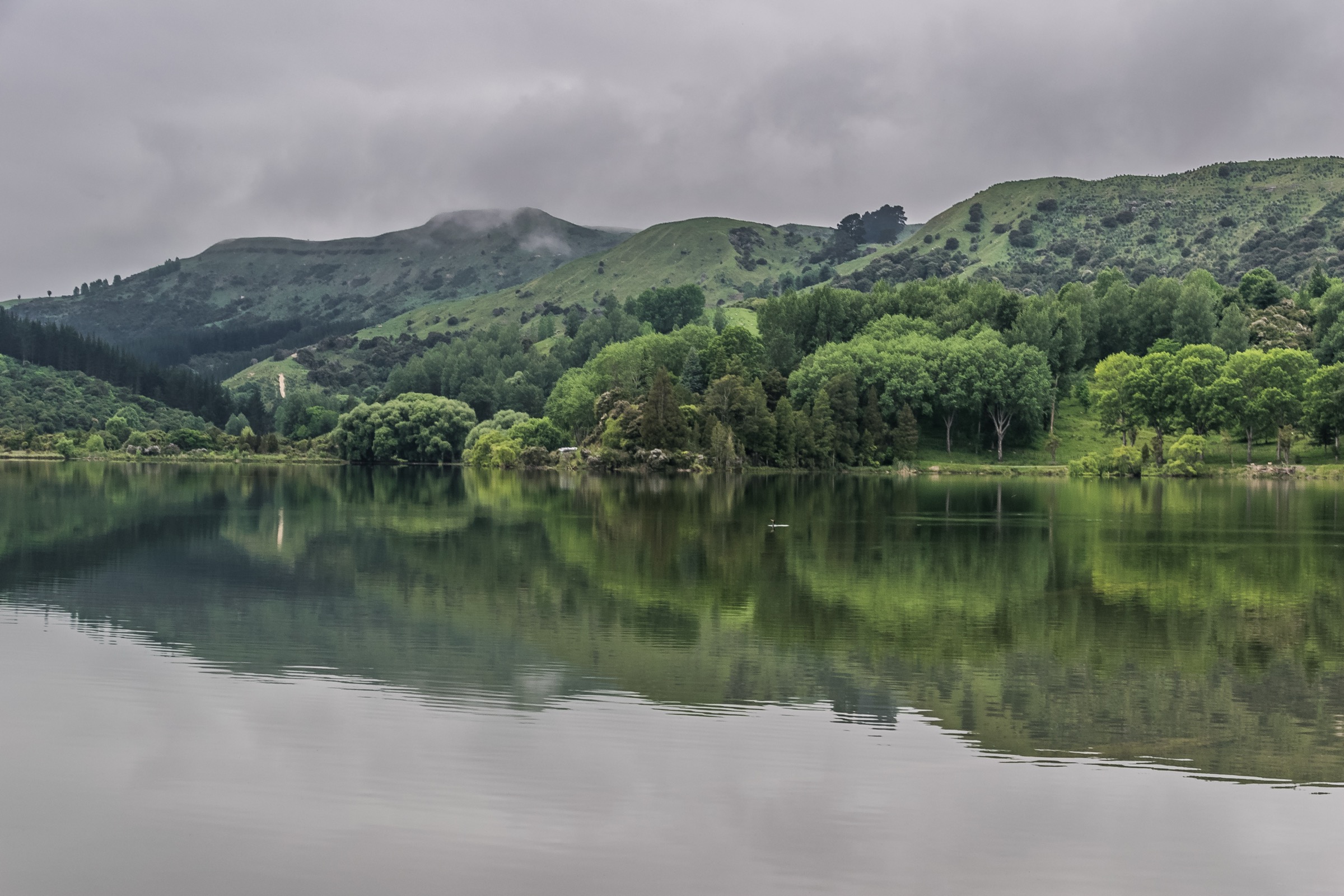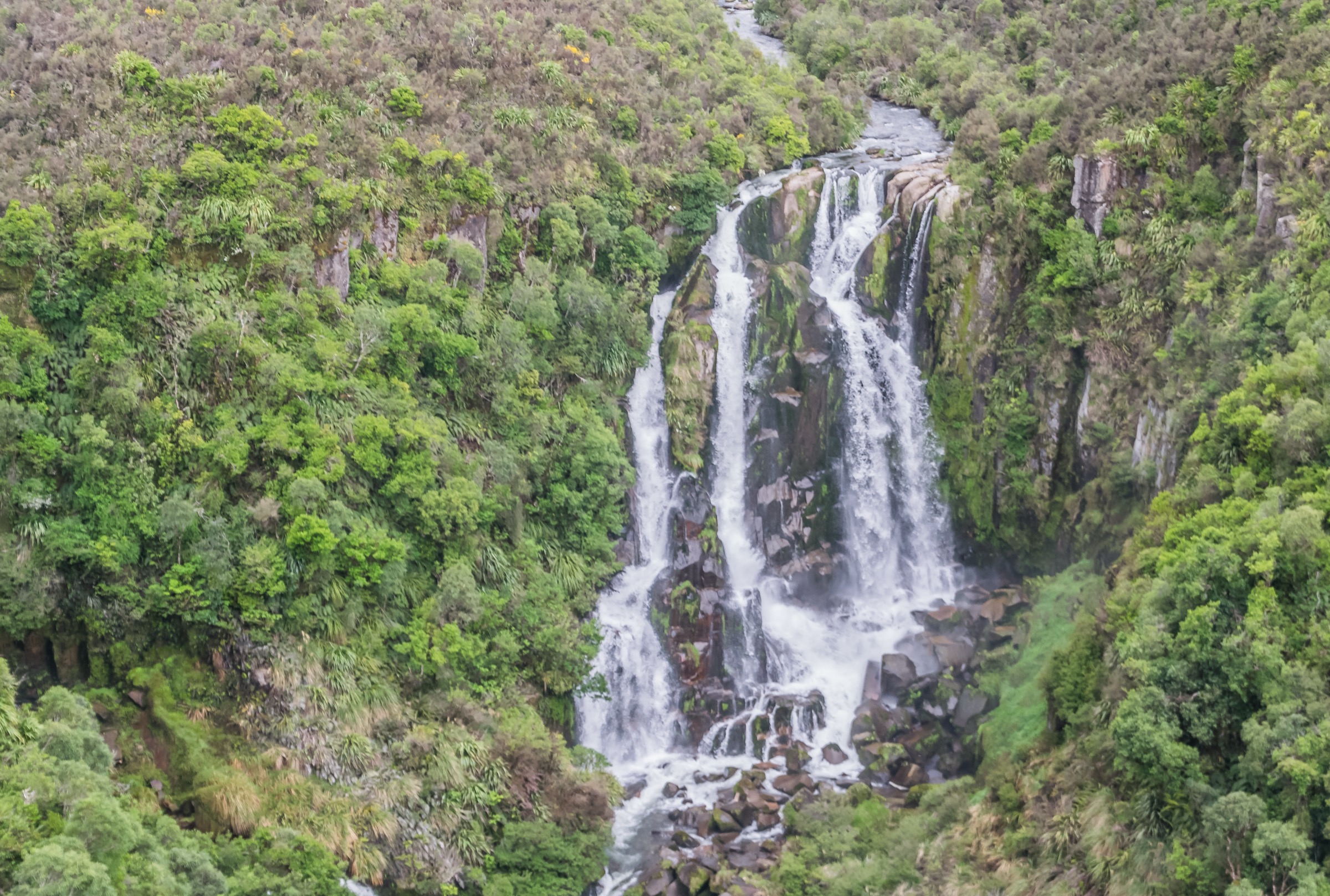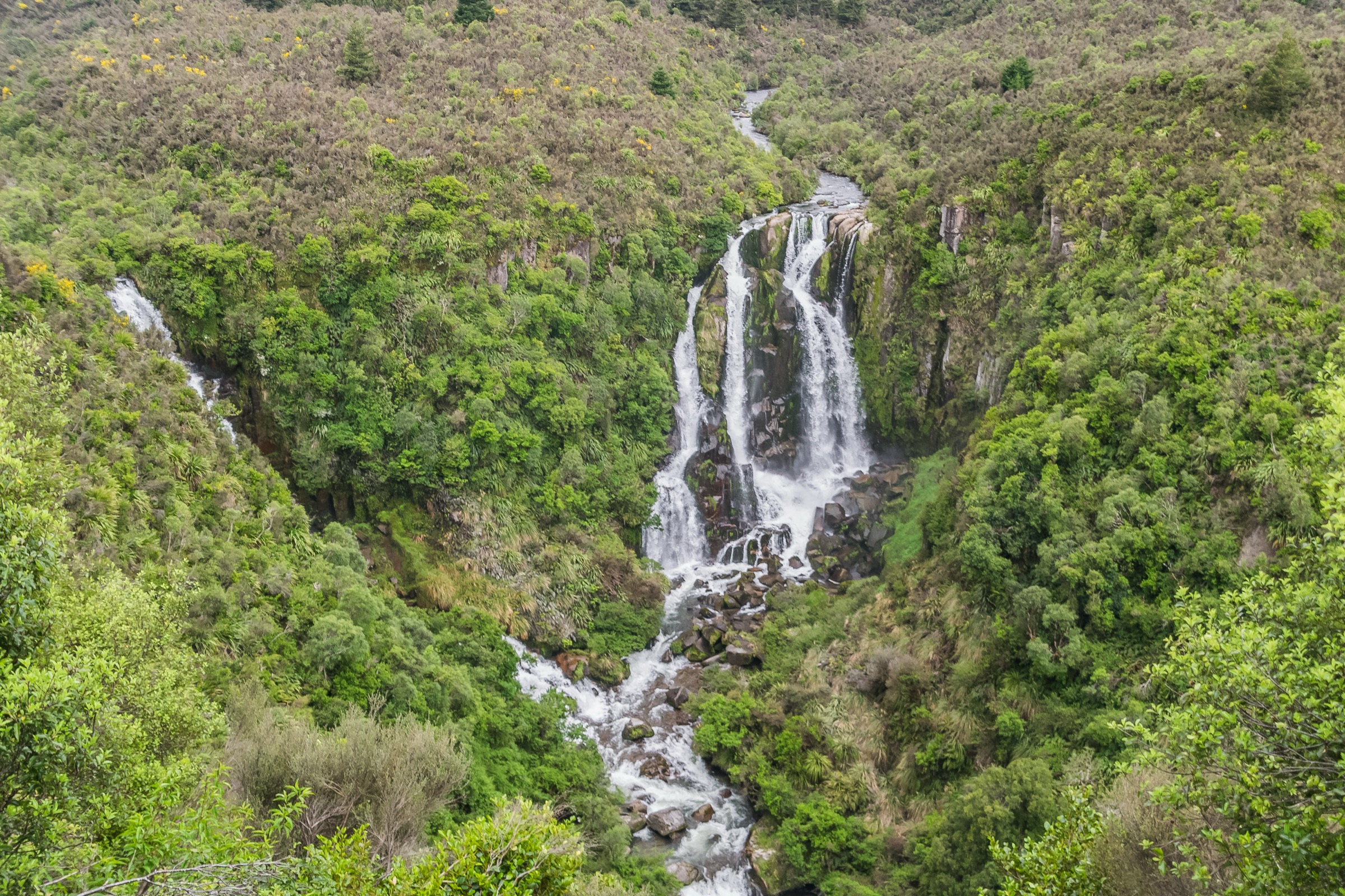
Regional overview
The central Ahimanawa Range sits on the Napier–Taupō side of the ridge that separates the Hawke’s Bay lowlands from the Volcanic Plateau. The area covered by this note overlaps the Waipunga and Te Haroto side of the range, off the Napier–Taupō Road (SH5). Protected-area geometry in OpenStreetMap identifies Waipunga Falls Scenic Reserve, Waipunga Forest, Waipunga Recreation Area and several adjacent conservation areas, all administered by the Department of Conservation.
The Ahimanawa Range is neighboured by better-documented tramping areas: the Central Kawekas and Southern Kaweka to the south-east, the Northern Kaimanawas to the west, and the northern Te Urewera / Northern Huiarau country further east. Those neighbouring ranges hold the main verified public day-walk inventory for this part of the North Island.
Walking character in the central belt is remote, wet-forest tramping rather than an open-tops network. Access is by unsealed roads off SH5, and the only routes turned up during this research pass are hut approaches into Waipunga Forest — the sort of trip that would normally sit inside a DOC place page. During this pass, DOC’s regional place lists for Hawke’s Bay, Central North Island and Bay of Plenty did not surface an Ahimanawa- or Waipunga-Forest recreation entry, so no publicly documented essential day-hikes could be verified.
Catalogue decision
No catalogue-compliant set of five public essential day-hikes could be verified for the central Ahimanawa Range during this research pass. Reducing the target below five allowed one plausible candidate — the Upper Matakuhia Hut Track in Waipunga Forest — to be surfaced from AllTrails, but the candidate is not currently backed by an official DOC track page, an official trailhead reference, a public GPX/KML file, or a licence-compatible route photograph.
This entry is therefore published as a reduced research note. It should not be read as a finished essential-day-hike catalogue for the central Ahimanawa Range; it flags the single candidate found in this pass so that the underlying access, route and media questions can be revisited later.
Verification summary
| Status item | Result |
|---|---|
| Public day-hike selection | One secondary-source candidate identified; not verified as a finished essential day-hike |
| Official DOC route page | Not found in this pass for Waipunga Forest or the Upper Matakuhia Hut Track |
| Route geometry | AllTrails route figures only; not cross-checked against an official source |
| Access / trailhead | Unresolved; drivability and legal status of Waipunga Road not verified |
| GPX / KML / source route files | No public official route file located; AllTrails route data not reused |
| Photo sourcing | No licence-compatible central Ahimanawa or Upper Matakuhia route image found |
| Publication status | Not catalogue-ready; keep as an unresolved research note until verified |
Candidate summary
| # | Candidate | Route type | Distance | Gain | Max elevation | Difficulty | Status |
|---|---|---|---|---|---|---|---|
| 1 | Upper Matakuhia Hut Track | AllTrails: point-to-point; possible out-and-back day use unverified | 6.9 km (AllTrails) | 66 m (AllTrails) | 941 m (AllTrails) | Moderate (AllTrails) | Secondary-source candidate only |
Candidate 1: Upper Matakuhia Hut Track
Snapshot
Itinerary
AllTrails records the route as running to Upper Matakuhia Hut in Waipunga Forest, with the option to return the same way or continue via the Lower Matakuhia and Opureka tracks. Neither the entry point, the actual line, nor the hut status has been independently confirmed against an official DOC page during this research pass, so the itinerary above should be treated as a secondary-source description rather than a verified route.
Why it might matter
If official access, route geometry and hut status can later be confirmed, this is the strongest candidate found in the central Ahimanawa belt because it sits inside Waipunga Forest rather than in the neighbouring Central Kaweka, Northern Kaimanawa or northern Te Urewera inventories already covered elsewhere in this catalogue.
Equipment
Until the route is verified against an official source, treat it as advanced tramping country:
- Sturdy tramping boots
- Waterproof shell and warm mid-layer
- Hat and gloves outside midsummer
- Food and water for a full backcountry day
- Map, compass and GPS with the AllTrails line reviewed before departure
- Head torch with spare batteries
- Personal Locator Beacon recommended
- Water treatment
Hazards and notes
- Access is unresolved: Waipunga Road appears in OpenStreetMap as a track, but drivability and legality have not been verified.
- Hut status at Upper Matakuhia has not been checked against DOC information — treat the hut as a route landmark, not as guaranteed shelter.
- Route condition, land status and exact start point all need follow-up before this can be published as a finished essential day-hike.
- Do not promote this candidate as verified until the DOC and access questions above are resolved.
Other leads considered
| Lead | Evidence found | Decision |
|---|---|---|
| Waipunga Falls Scenic Reserve | OSM protected-area relation 18867922, operator: Department of Conservation | Not enough for a hike: no named walking route, official route statistics or verified access notes found |
| Waipunga Forest | OSM protected-area relation 20065724, operator: Department of Conservation | Context for the Upper Matakuhia candidate only; no DOC recreation-page inventory located in this pass |
| Waipunga Road | OSM ways 445635955 and 445635956, tagged highway=track, source: NZ Open GPS |
Not a hike in itself; drive and legal-access status unresolved |
| Whirinaki Te Pua-a-Tāne Conservation Park | DOC records a large walking and tramping inventory | Excluded — sits in the East Coast / Whirinaki area rather than the Ahimanawa Range |
GPX / KML / route-file status
| Source | URL | Format | Licence / terms | Reuse status |
|---|---|---|---|---|
| AllTrails — Upper Matakuhia Hut Track | alltrails.com | Route page; GPX availability not reused | AllTrails terms apply | Secondary comparison only |
| OSM — Waipunga Forest protected area | openstreetmap.org | OSM protected-area relation | ODbL | Context only |
| OSM — Waipunga Falls Scenic Reserve | openstreetmap.org | OSM protected-area relation | ODbL | Context only |
| OSM — Waipunga Road (ways 445635955 and 445635956) | openstreetmap.org | OSM ways | ODbL | Context only |
Photos
No licence-compatible central Ahimanawa or Upper Matakuhia route image was located in this research pass. Follow-up work should look for Wikimedia Commons or Flickr Creative Commons imagery covering Waipunga Forest, Waipunga Falls or the Ahimanawa Range once route verification is complete.
Follow-up work
- Confirm the Upper Matakuhia Hut Track against an official DOC track or hut page and record the correct trailhead, distance, gain and time.
- Verify Waipunga Road access — legal, drivable and any signposted closures.
- Check current hut status for Upper Matakuhia Hut, Lower Matakuhia Hut and the Opureka Track.
- Source a licence-compatible cover image and route photograph for Waipunga Forest or the central Ahimanawa Range.
- Locate an official or ODbL-licensed GPX/KML that can be used for map geometry.
Further reading
| Resource | Link |
|---|---|
| AllTrails — Upper Matakuhia Hut Track | alltrails.com |
| DOC — Hawke’s Bay places API | doc.govt.nz |
| DOC — Central North Island places API | doc.govt.nz |
| DOC — Bay of Plenty places API | doc.govt.nz |
| DOC — Whirinaki Te Pua-a-Tāne Conservation Park | doc.govt.nz |
| OSM — Waipunga Forest relation | openstreetmap.org |
| OSM — Waipunga Falls Scenic Reserve relation | openstreetmap.org |
| OSM — copyright and ODbL terms | openstreetmap.org |
| Wikipedia — Ahimanawa Range | en.wikipedia.org |