Regional overview
The northern Huiarau and northern Te Urewera walking character is remote, wet-forest backcountry rather than high open tops. The most clearly verified public walking access is the Waimana Valley, reached from SH2 by Bell Road and Matahi Valley Road. The valley sits at the northern end of Te Urewera; the access road is mostly unsealed, narrow and winding. Tracks range from the easy Ngutuoha Nature Trail to advanced tramping-track approaches up streams and ridges. Expect mud, river crossings, limited communications, fast-changing weather and a need for conservative planning.
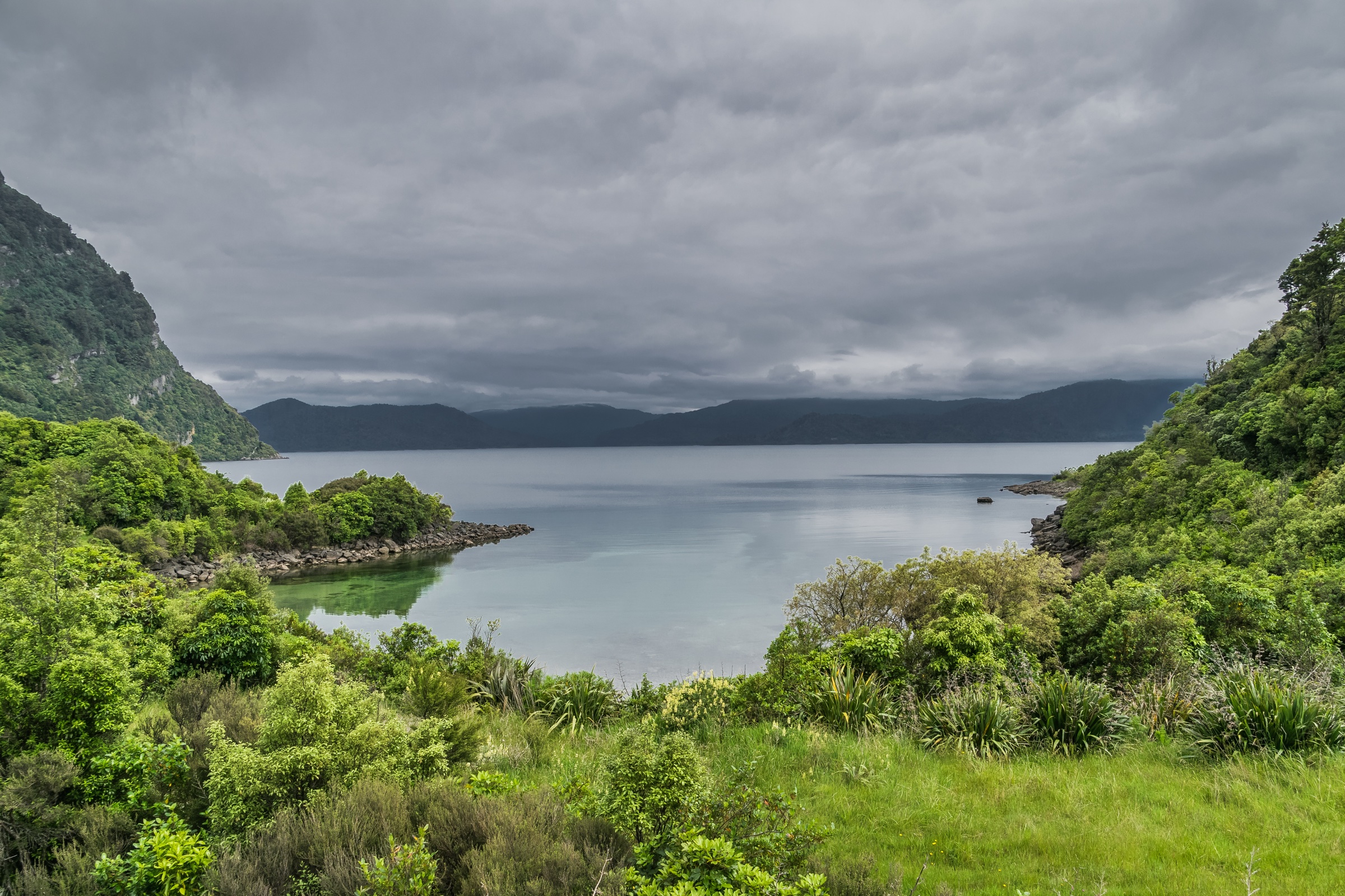
The cover image above shows Lake Waikaremoana — the photogenic centrepiece of the broader Te Urewera forest park rather than a Waimana Valley feature — included here as the regionally representative landscape. The Waimana Valley huts are in the process of being removed, so the hut names below should be treated as route landmarks rather than overnight infrastructure.
For the rest of the Huiarau Range and adjacent North Island ranges, see Southern Huiarau (the same range further south) and the Waikaremoana sector (the lake-centred core of Te Urewera). The Northern Kaimanawas are the nearest comparable backcountry tramping range south-west across the central plateau.
Selection rationale
These five hikes cover the verified northern public-access inventory: one interpretive valley loop, one family-suitable stream walk, and three classic Waimana backcountry approaches. Where distance or ascent is not officially published, those fields are left unresolved. No private or culturally sensitive Maungapōhatu access route has been invented.
Summary table
| # | Hike | Country | Route type | Distance | Time | Difficulty |
|---|---|---|---|---|---|---|
| 1 | Ngutuoha Nature Trail | New Zealand | Loop | 2 km | 1 hr | Easy short walk |
| 2 | Te Waiiti Stream via Te Pona a Pita Track | New Zealand | Out-and-back | Not stated | 2–4 hr return | Easy to intermediate |
| 3 | Onepu Hut Track / Onepu Ridge Approach | New Zealand | Out-and-back | Not stated | 4–6 hr one way | Advanced tramping |
| 4 | Ohora Hut Track | New Zealand | Out-and-back | Not stated | 6–10 hr return | Advanced tramping |
| 5 | Koaunui Hut via The Wall Track | New Zealand | Out-and-back | Not stated | 6–8 hr return | Advanced tramping |
1. Ngutuoha Nature Trail
Snapshot
Itinerary
Start opposite the Lions Education Centre. The track follows the road north briefly, crosses the road, then returns beside the Tauranga River with interpretation panels along the way.
Why it is essential
This is the simplest verified walk in the northern sector and the best low-commitment introduction to Waimana Valley forest and river country.
Equipment
Walking shoes or light boots, rain jacket, warm layer and water. Carry a head torch if returning late.
Hazards and notes
Road access is remote and partly unsealed. No dogs or other pets are permitted on Te Urewera tracks. Pack out rubbish and check current conditions before entering the valley.
2. Te Waiiti Stream via Te Pona a Pita Track
Snapshot
Itinerary
From the southern end of Ogilvies Bridge, follow the graded climb around Ogilvies Ridge to a seat and valley viewpoint. The track then sidles into Te Waiiti Valley, reaching stream flats used for picnicking and camping.
Why it is essential
It is the most accessible “real valley” walk in the Waimana inventory, giving a short route into forest, stream flats and whio / blue-duck habitat without committing to a full hut approach.
Equipment
Sturdy shoes, rain jacket, warm layer, water, food, and navigation backup if continuing beyond the picnic flats.
Hazards and notes
Te Waiiti Stream is remote despite the relatively easy grade. Avoid entering or crossing streams in flood, and take conservative turnaround decisions after heavy rain. No dogs or other pets.
3. Onepu Hut Track / Onepu Ridge Approach
Snapshot
Itinerary
From the main start, cross the Tauranga River at the signpost and climb from a blackberry-covered terrace into the bush edge. The track continues up and along ridge tops before dropping toward the Onepu Hut site. If the river is high, an all-weather approach is available beginning at Ogilvies Campsite.
Why it is essential
This is one of the classic Waimana backcountry approaches, representing the northern Huiarau’s ridge-and-stream tramping character.
Equipment
Full tramping day kit: boots, waterproofs, warm layers, food, water treatment, map and compass with GPS backup, head torch, first-aid kit and a PLB recommended.
Hazards and notes
The Tauranga River crossing can be difficult when the river is up. The Waimana huts are in the process of being removed, so do not rely on hut shelter. No dogs or other pets.
4. Ohora Hut Track
Snapshot
Itinerary
From the signposted start, follow Orouamananui Stream, then climb steeply to a saddle. Descend toward Pohatu Stream, follow it downstream to the Pohatu–Ohora confluence, then continue down to the Ohora Hut site on the true left of Ohora Stream.
Why it is essential
Ohora is the most direct official Waimana day-tramp objective from the park boundary and gives a compact sample of the valley’s stream, saddle and forest travel.
Equipment
Full tramping day kit, water treatment, boots, waterproofs, warm layers, navigation backup, head torch, and a PLB recommended.
Hazards and notes
Expect rough, wet tramping-track conditions and slow travel after rain. Huts are subject to removal. No dogs or other pets.
5. Koaunui Hut via The Wall Track
Snapshot
Itinerary
From the Lions Education Centre, walk up Ngutuoha Stream to the marked turnoff. Climb steeply up The Wall Track to Tawai Ridge, then continue south to the Koaunui Hut turnoff. Descend to Te Waiiti Stream and follow downstream to the Koaunui Hut site.
Why it is essential
The Wall is the most distinctive verified northern Waimana climb, linking the river-floor access with a higher ridge system and giving the strongest backcountry character of the northern selection.
Equipment
Full tramping day kit, boots, waterproofs, warm layers, food, water treatment, map and compass with GPS backup, head torch, and a PLB recommended.
Hazards and notes
The route is steep and remote. Treat the hut only as a landmark until current hut-removal status is confirmed. No dogs or other pets.
Further reading
| Resource | Link |
|---|---|
| DOC — Te Urewera | doc.govt.nz |
| DOC — Waimana Valley tramping tracks | doc.govt.nz |
| DOC — Ngutuoha Nature Trail | doc.govt.nz |


