Regional overview
The southern Ahimanawa Range is the low-formality country between the Kaweka Range to the east and Kaimanawa Forest Park to the west, on the inland Hawke’s Bay side of the North Island. Access is dominated by State Highway 5 (Napier–Taupō Road) running down the Waipunga corridor and by the unsealed Tataraakina Road turning off SH5 toward the Ahimanawa crest. The country falls off the Ahimanawa ridge into two river systems — the Waipunga River to the north and the Mōhaka River to the south — both draining east toward the Pacific.
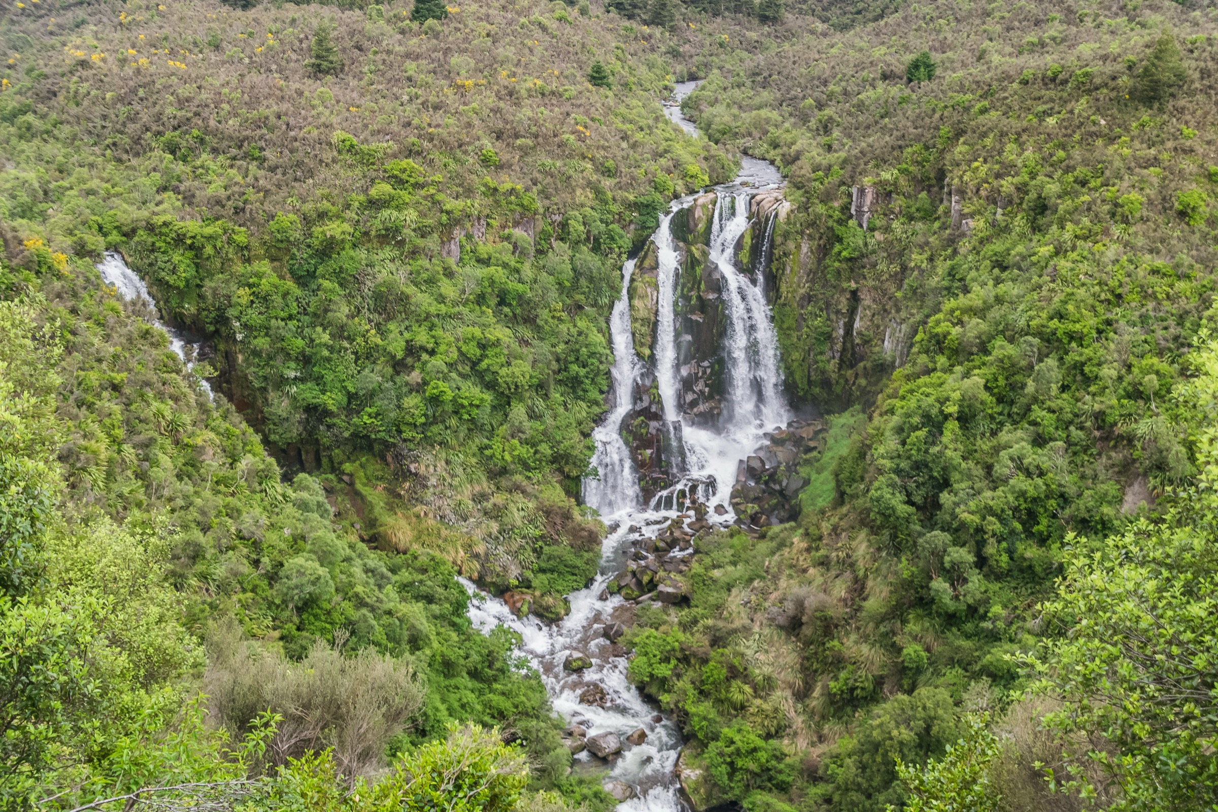
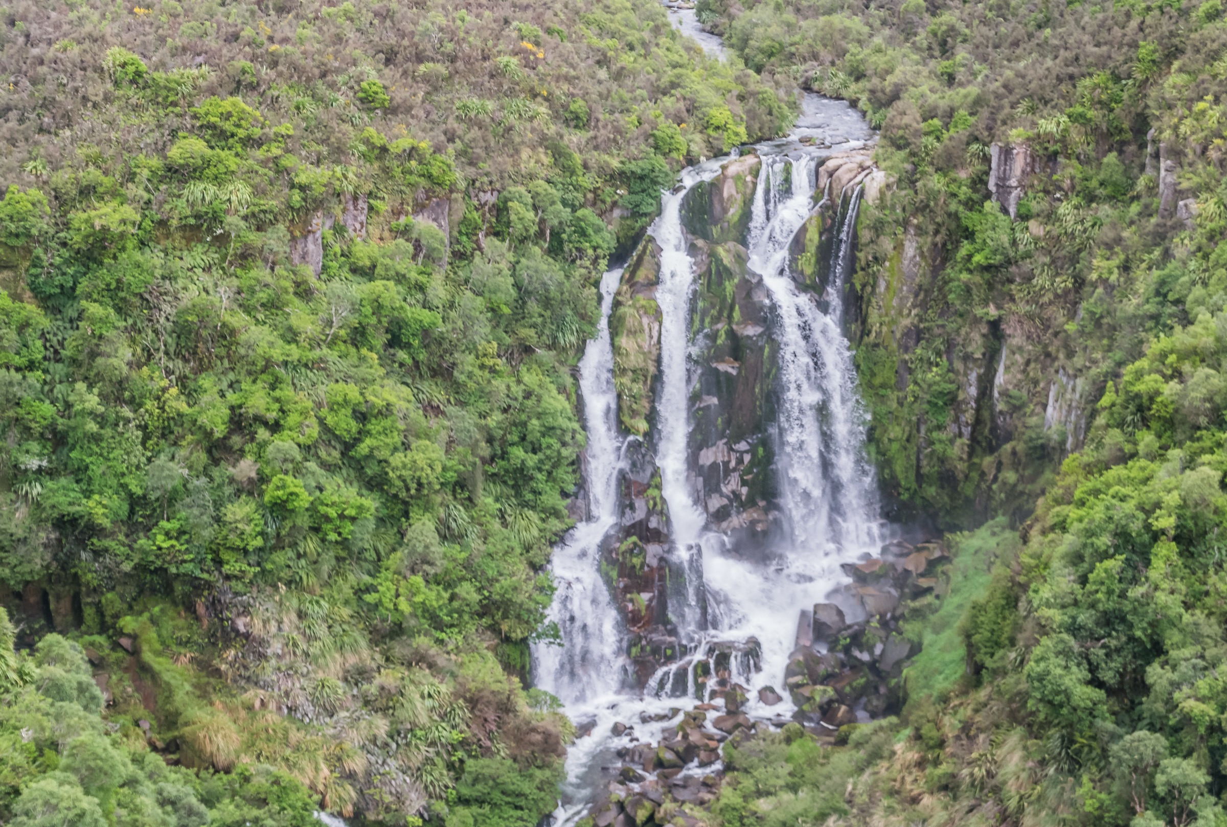
Unlike the Kaweka and Kaimanawa parks either side, the southern Ahimanawa does not have a DOC-marked day-hike inventory. What it does have is three verifiable public-land units — Conservation Area – Tataraakina Road, Waipunga Recreation Area and Conservation Area – Waipunga River — plus the DOC-listed Mōhaka River area, which is catalogued by DOC as camping and river-access country rather than a walking place. The main nationally-known feature of the region is Waipunga Falls, a two-drop waterfall visible from a signed SH5 pullout, and the only short marked-lookout objective in the catalogue.
Two planning constraints follow. The first is route documentation: none of the OSM-verified conservation areas has a published DOC track or a public GPX, so distances and elevation figures for the corridor walks below are not verified and are given as “Unresolved” in the snapshot panels. Anyone walking in these areas is doing route-finding on informal ground, and a topographic map, downloaded offline base map and Personal Locator Beacon are standard. The second is access permissions and land status: the conservation areas are public but the road corridors that reach them cross private farmland in several places, and Tataraakina Road in particular changes character quickly in wet weather. Check the DOC Hawke’s Bay alerts page and check with the local farm office before crossing any private-land section.
Readers looking for formal day-hike infrastructure on the Ahimanawa’s flanks will find it in the adjacent southern Kaweka catalogue — the Kuripapango, Lawrence Road and Kaweka Lakes routes are all within an hour of the Waipunga corridor and cover the same landscape from a formalised, DOC-marked side.
Selection rationale
Four walking objectives are presented across the southern Ahimanawa. The set is deliberately smaller than the standard five-hike catalogue because the region does not have five sourceable day-hikes: Waipunga Falls is the only signed lookout objective and anchors the set; Waipunga Recreation Area and Conservation Area – Waipunga River are the two river-corridor conservation units with the clearest walking use; and the Mōhaka River area carries the DOC-verified place-page context for the southern access side. Multi-day tramps, off-track route-finding to the Ahimanawa crest and cross-range travel into Kaweka Forest Park sit outside this day-hike entry.
Formal DOC-marked day-tracks equivalent to the Kaweka or Kaimanawa inventories are absent from this catalogue by design, not by omission — they were searched for and are not published for this range.
Summary
| # | Objective | Trailhead | Route type | Distance | Gain | Difficulty |
|---|---|---|---|---|---|---|
| 1 | Waipunga Falls SH5 lookout | Signed pullout on SH5, Napier–Taupō Road | Short viewpoint walk | ~200 m return | Minor | Easy |
| 2 | Waipunga Recreation Area | Access off SH5 / Waipunga corridor | Informal river-terrace walking | Unresolved | Unresolved | Route-finding |
| 3 | Conservation Area – Waipunga River | Waipunga corridor access | Informal river-corridor walking | Unresolved | Unresolved | Route-finding |
| 4 | Conservation Area – Tataraakina Road | Tataraakina Road, off SH5 | Informal ridge / farm-access walking | Unresolved | Unresolved | Route-finding |
1. Waipunga Falls SH5 lookout
Snapshot
Itinerary
Pull off SH5 at the signed Waipunga Falls lay-by and follow the short path to the lookout above the two-drop fall on the Waipunga River. Return to the car park by the same short path.
Why it is essential
Waipunga Falls is the only signed viewpoint objective in the southern Ahimanawa catalogue and the region’s most-photographed feature. It sits on the standard SH5 driving line between Napier and Taupō and is a natural shoulder stop before or after any of the informal walking objectives below.
Equipment
- Walking shoes
- Water and a snack
- Rain shell if the weather is unsettled
Hazards and notes
- Steep drop below the lookout fence — keep children under control at the edge
- SH5 is a busy trunk route — take care re-entering the highway
- Facilities are limited at the lay-by
2. Waipunga Recreation Area
Snapshot
Itinerary
The Waipunga Recreation Area is a DOC-operated public-land unit in the Waipunga corridor, mapped by OpenStreetMap as protected-area relation 20065729. There is no formed DOC day-track. Walking parties use the corridor for informal river-terrace and forest exploration, turning around when time or river conditions dictate.
Why it is essential
The Recreation Area is the most walkable of the three southern Ahimanawa conservation units — a river-corridor public-land block adjacent to SH5 that gives half-day informal walking without a hut-and-tramping commitment. It is the practical middle-ground objective between the roadside lookout and the harder off-track corridors.
Equipment
- Tramping boots or sturdy walking shoes
- Rain shell, warm mid-layer
- Topographic map and downloaded offline base map
- Compass and GPS
- Personal Locator Beacon
- 2 L water, food for the planned time out
- Headlamp with spare batteries
Hazards and notes
- No marked track — expect route-finding and off-track going
- River-level hazard if crossing the Waipunga — do not attempt in high flows
- No mobile coverage in significant parts of the corridor
- No facilities — carry everything in and out
3. Conservation Area – Waipunga River
Snapshot
Itinerary
The Waipunga River Conservation Area is a separate DOC-operated public-land unit in the same river corridor (OSM protected-area relation 20065731), sitting downstream of and adjacent to the Recreation Area. There is no formed DOC day-track. Walking parties use it for river-corridor exploration, generally as an extension of a Recreation Area day rather than a standalone objective.
Why it is essential
The Waipunga River Conservation Area holds the downstream river-corridor experience of the southern Ahimanawa — a public-land continuation of the Recreation Area walking. It is included here so the catalogue reflects the full public-land footprint of the corridor rather than the single most walkable unit.
Equipment
- Tramping boots
- Rain shell, warm mid-layer
- Topographic map and offline base map
- Compass and GPS
- Personal Locator Beacon
- 2 L water and food for the planned time out
Hazards and notes
- No marked track and no formed river crossings
- River level is the primary safety constraint — do not attempt in high flows
- Slippery river-terrace ground after rain
- Party should be self-sufficient and confident with off-track navigation
4. Conservation Area – Tataraakina Road
Snapshot
Itinerary
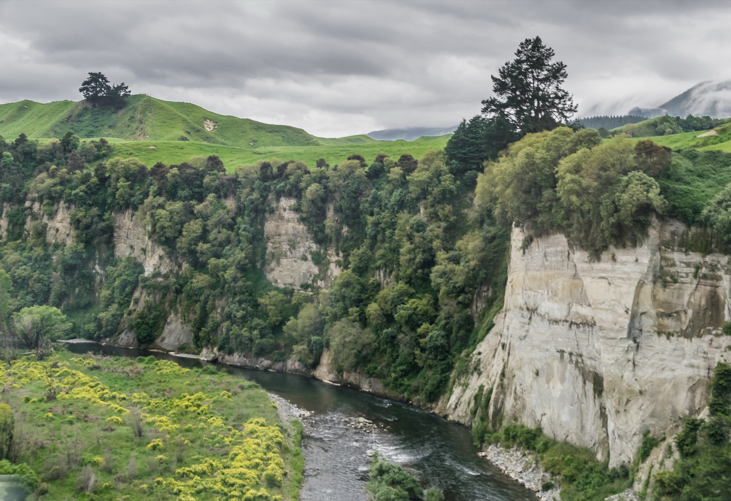
Tataraakina Road turns off SH5 and climbs toward the southern Ahimanawa crest, giving access to the Conservation Area – Tataraakina Road public-land block (OSM protected-area relation 20065727). The block sits above the Mōhaka River headwaters and looks south into the DOC-listed Mōhaka River area — a place page catalogued by DOC for camping and river-access rather than for tracks. There is no formed DOC day-track. Walking parties use the road corridor and public-land block for informal ridge and farm-access walking.
Why it is essential
Tataraakina Road is the only Southern Ahimanawa objective that reaches the range crest in day-walk terms, and links the Waipunga corridor to the DOC-verified Mōhaka River access country. It is the catalogue’s ridge-country entry — informal, but the only public-land route into the higher southern Ahimanawa terrain.
Equipment
- Tramping boots
- Rain shell, warm mid-layer, hat and gloves
- Topographic map and offline base map
- Compass and GPS
- Personal Locator Beacon
- 2 L water and food for the planned time out
- Headlamp with spare batteries
Hazards and notes
- Unsealed Tataraakina Road deteriorates fast in wet weather — 4WD recommended
- Private-land crossings on the access corridor — close gates and respect stock
- No marked track and no signage in the conservation area — expect route-finding
- No mobile coverage for most of the walking area
- Weather exposure on the crest — treat this as backcountry, not a graded walk
Further reading
| Resource | Link |
|---|---|
| DOC — Mōhaka River area | doc.govt.nz |
| DOC — Kaweka Forest Park | doc.govt.nz |
| DOC — Kaimanawa Forest Park | doc.govt.nz |
| OSM — Conservation Area Tataraakina Road | openstreetmap.org |
| OSM — Waipunga Recreation Area | openstreetmap.org |
| OSM — Conservation Area Waipunga River | openstreetmap.org |
| OSM — copyright / ODbL terms | openstreetmap.org/copyright |
| MetService — Hawke’s Bay regional forecast | metservice.com |
| Wikipedia — Ahimanawa Range | en.wikipedia.org |
| Wikimedia Commons — Waipunga Falls | commons.wikimedia.org |