Regional overview
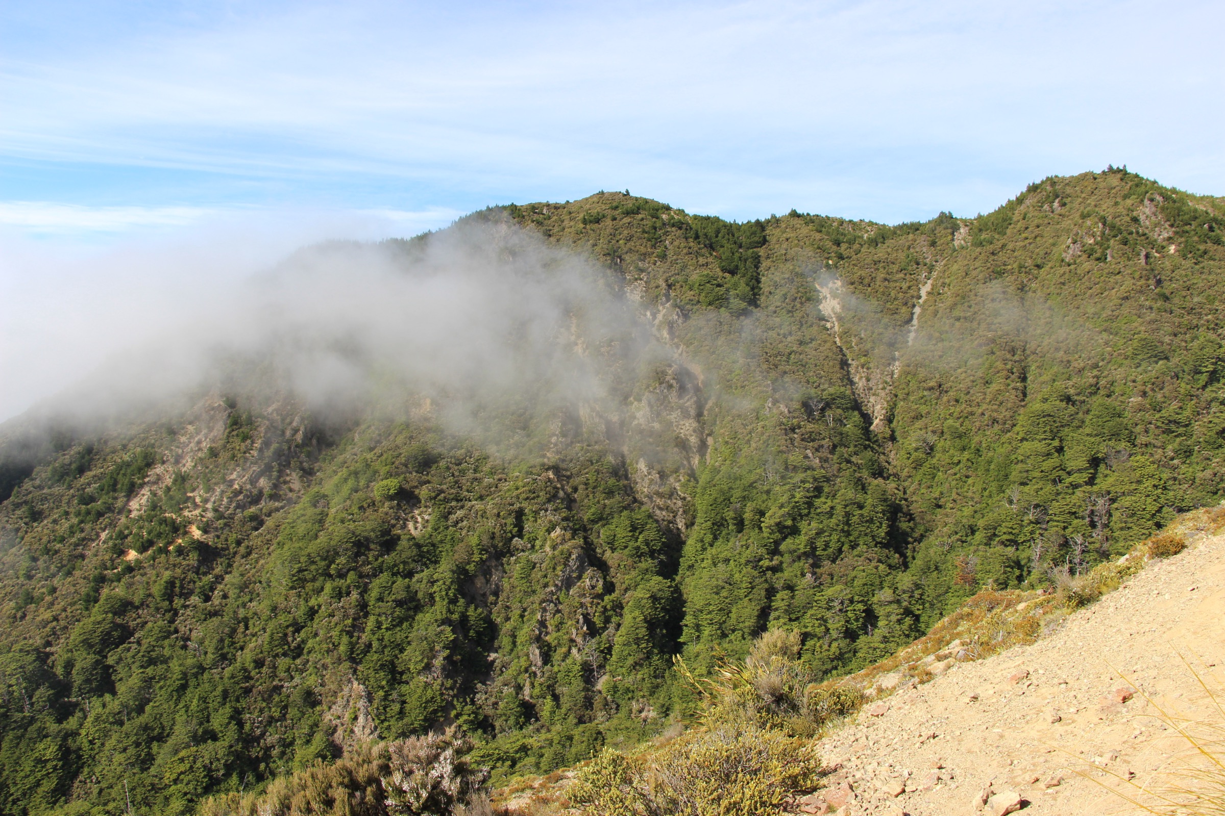
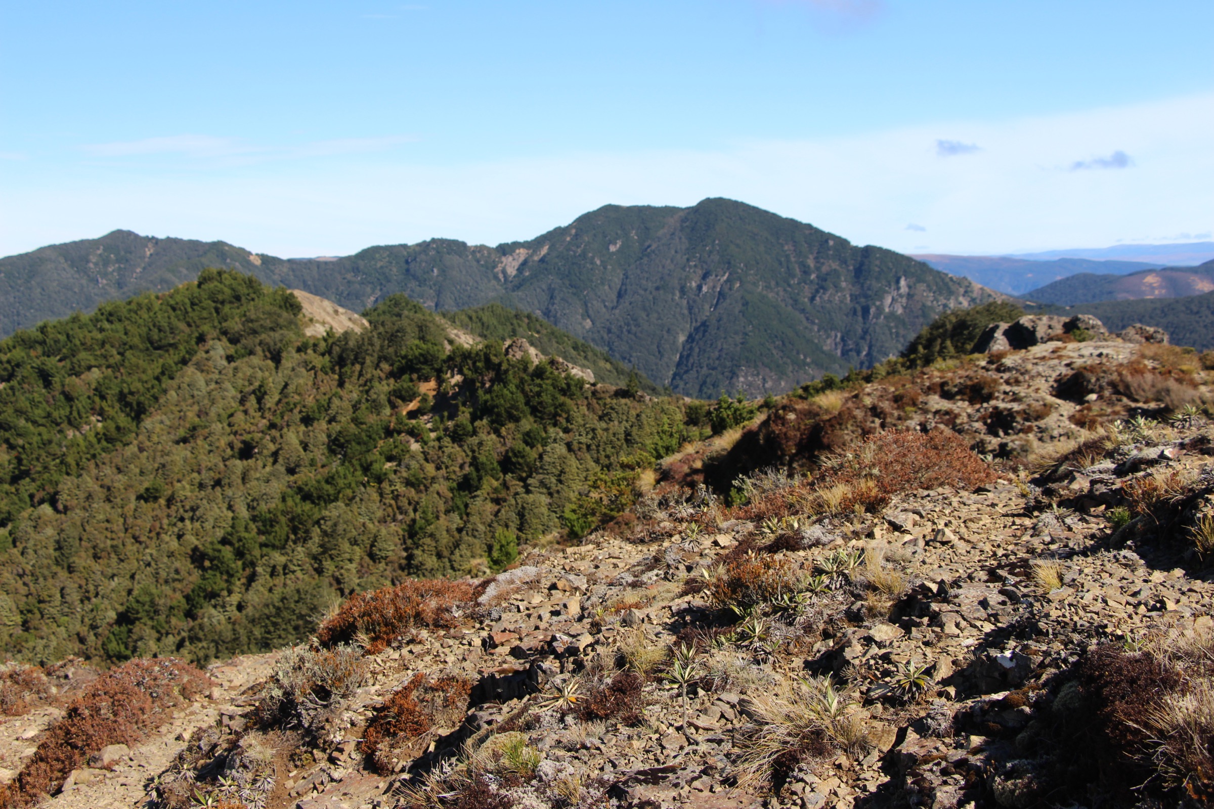
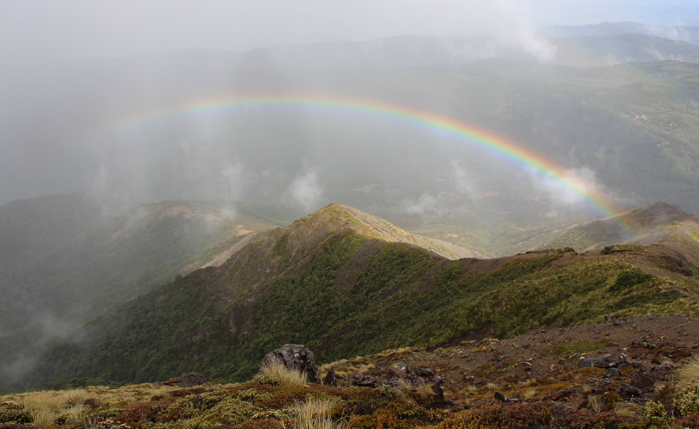
The central Kaweka Range is exposed North Island backcountry: steep beech approaches, open sub-alpine tops, eroded scree, and long poled routes over tussock. Strong north-west winds, sudden southerlies and mid-summer snow all appear at height. The best day objectives fall into four groups: the main Kaweka tops around Kaweka J, the Back Ridge and Studholme high country, the compact forest routes to Kaweka Flats, and the Mohaka / Mangatainoka hot-springs side of Kaweka Forest Park.
DOC describes Kaweka Forest Park as country for experienced trampers as well as day walkers, mixing alpine shrublands, tussock valleys, beech forest, hot springs, rafting rivers and remote huts. Any of the high routes should be treated as a mountain route even where distances look moderate.
Access is almost entirely by private vehicle on unsealed park roads. DOC notes that Makahu Road is steep and narrow, crosses a ford, can be affected by rain or snowmelt, and is not suitable for caravans or campervans. No regular public transport to these trailheads was verified.
Selection rationale
These five hikes represent the central Kaweka walking character across its main sub-regions. Te Puia and Mangatainoka Hot Springs covers the Mohaka river and hot-pool side. Kaweka J and Kaweka North gives the main summit skyline. Back Ridge Hut via Kaweka J turns that skyline into a serious high-country traverse. Kaweka Flats is the compact forest-and-bivouac day. Studholme Saddle Hut Loop is the long central-tops circuit.
Summary table
| # | Hike | Country | Route type | Distance | Elevation gain | Max elevation | Difficulty |
|---|---|---|---|---|---|---|---|
| 1 | Te Puia Hut Track and Mangatainoka Hot Springs | New Zealand | Loop | 21.4 km | 1,060 m | 983 m | Hard |
| 2 | Kaweka J and Kaweka North Summit Track | New Zealand | Out-and-back | 10.9 km | 860 m | 1,713 m | Hard |
| 3 | Back Ridge Hut via Kaweka J | New Zealand | Out-and-back | 15.0 km | 1,200 m | 1,715 m | Hard |
| 4 | Kaweka Flats Track | New Zealand | Out-and-back | 7.9 km | 383 m | 1,013 m | Moderate |
| 5 | Studholme Saddle Hut Loop | New Zealand | Loop | 21.7 km | 1,639 m | 1,478 m | Hard |
Before you go
Permits and access
All five routes lie inside Kaweka Forest Park, managed by DOC. Makahu Road is the primary trailhead corridor for the tops routes and Kaweka Flats; The Gums car park at the end of Makahu Road serves the Te Puia and Mangatainoka circuit. DOC states Makahu Road is unsealed, steep and narrow in places and crosses a ford that can be affected by rain or snowmelt. No public transport to any of these trailheads was verified. Dogs require a DOC hunting-dog permit.
Standard Kaweka day-hiking kit
For all five routes, carry:
- Full mountain kit: boots with grip, waterproof/windproof shell, warm layers, hat and gloves, food, water and treatment, map and compass with GPS backup.
- Headtorch with spare batteries — the long loops and the Back Ridge day often finish in marginal light.
- Personal locator beacon (PLB) for the tops routes and the Studholme loop; mobile coverage is limited across the park.
- Hut tickets and overnight gear if any route is to be extended into a hut night.
Common hazards
DOC warns that snow, poor visibility, severe wind and cold conditions can occur on the Kaweka tops outside winter. Loose scree, eroded ridge crests and exposed poled sections are the standard concerns above the bushline. On the Mohaka side, forest travel, river terrain and Makahu Road’s ford need attention after rain or snowmelt.
1. Te Puia Hut Track and Mangatainoka Hot Springs
Snapshot
Itinerary
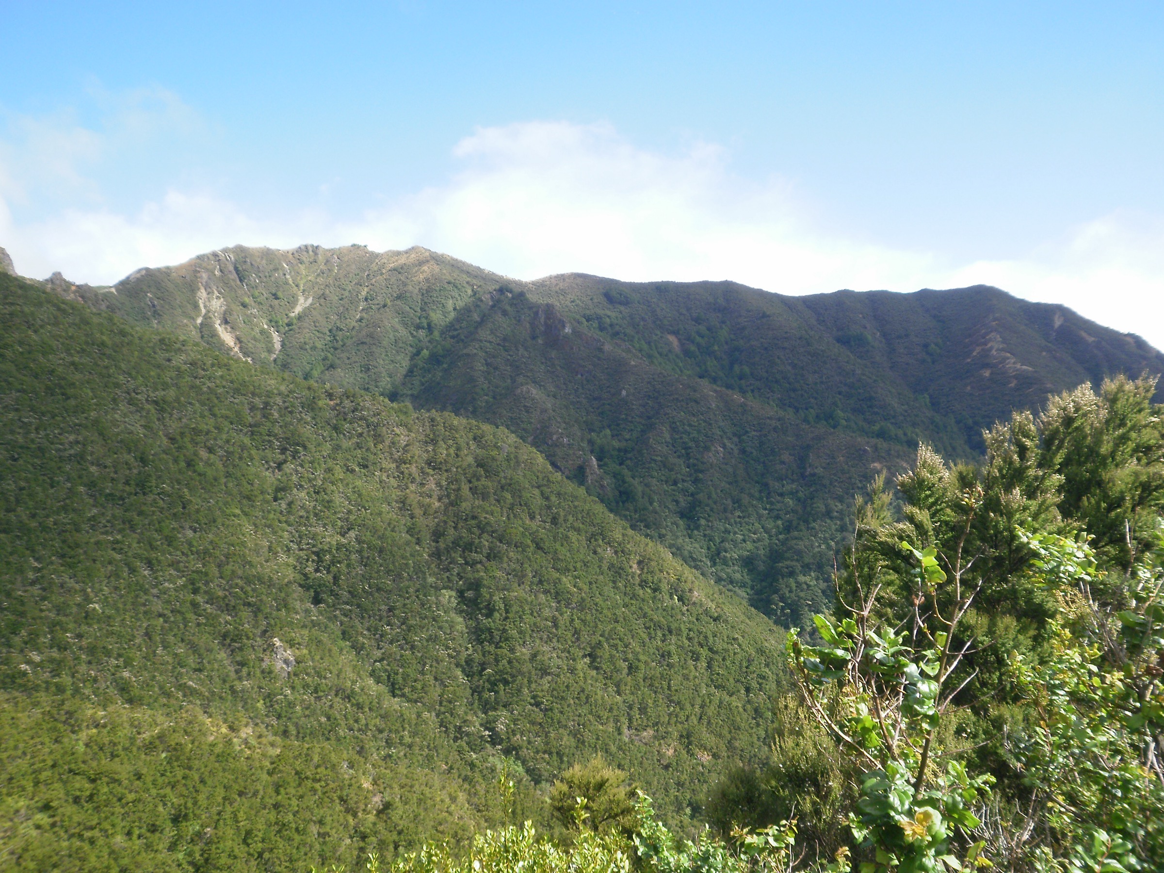
From The Gums, follow the Te Puia Lodge Track down toward the Mohaka River and Te Puia Hut, then continue to the Mangatainoka Hot Springs and return by the loop line. The route has rough, muddy and rocky sections, steep pitches and long stretches of remote river-valley travel.
Why it is essential
This is the central Kaweka’s classic river-and-hot-springs day. It gives a very different experience from the main tops — deep beech forest, Mohaka valley walking, hut country and geothermal pools — without leaving the park.
Hazards and notes
- DOC notes Makahu Road is unsealed and has a ford that can be affected by heavy rain or snowmelt.
- Long, rough and remote route; the loop commits you to a full day well beyond services.
- River and forest terrain: take water treatment and pack for changeable weather.
GPX / KML links
| Source | URL | Format | Notes |
|---|---|---|---|
| DOC Te Puia Hut (Lodge) | doc.govt.nz | Official hut / access page | DOC website terms; no standalone GPX verified |
| AllTrails Te Puia Hut Track and Mangatainoka Hot Springs | alltrails.com | Secondary route page | AllTrails terms apply; stats cross-check only |
| OpenStreetMap: Te Puia Lodge Track | openstreetmap.org | OSM way | ODbL; attribution required |
| OpenStreetMap: Mangatainoka Hot Springs Track | openstreetmap.org | OSM way | ODbL; attribution required |
Further reading
2. Kaweka J and Kaweka North Summit Track
Snapshot
Itinerary
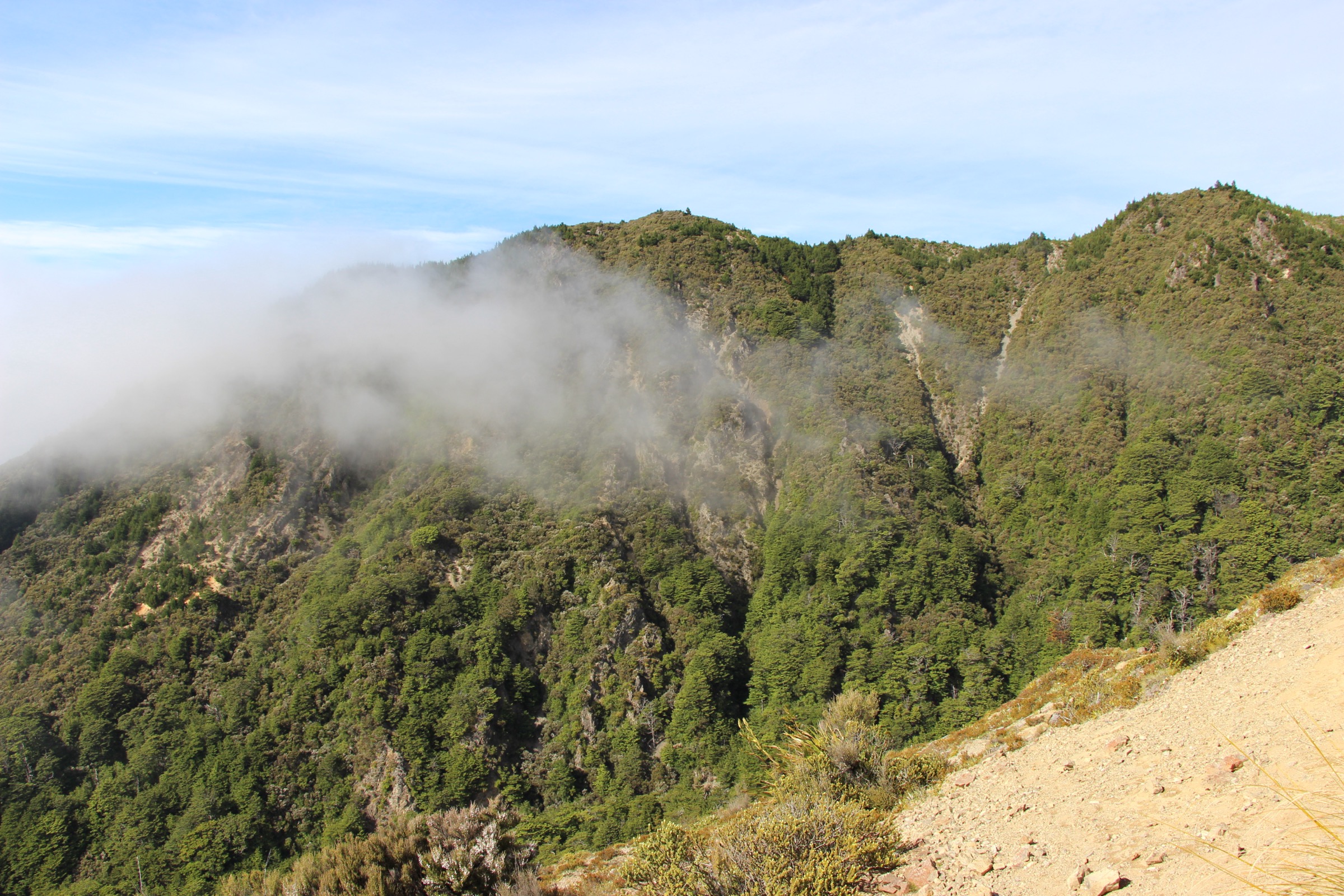
From Makahu Saddle, climb the poled Makahu / Trials Spur route to Kaweka J, then continue across the open tops toward Kaweka North before returning the same way. A substantial section of the route is above the bushline and exposed to wind, cold and poor visibility.
Why it is essential
Kaweka J is the dominant summit of the range and the extended Kaweka North outing gives a fuller sample of the central high tops than a simple summit return.
Hazards and notes
- Loose scree, steep exposed ground and severe north-west wind are the main issues.
- Winter and spring snow can persist on the tops well after the rest of the park has cleared.
- Turn back early if visibility or wind deteriorate.
GPX / KML links
| Source | URL | Format | Notes |
|---|---|---|---|
| DOC Dominie Hut | doc.govt.nz | Official hut / access page | DOC website terms; source for Makahu Spur / Kaweka J access |
| AllTrails Kaweka J and Kaweka North Summit Track | alltrails.com | Secondary route page | AllTrails terms apply; stats cross-check only |
| OpenStreetMap: Makahu Spur Track | openstreetmap.org | OSM way | ODbL; attribution required |
Further reading
3. Back Ridge Hut via Kaweka J
Snapshot
Itinerary
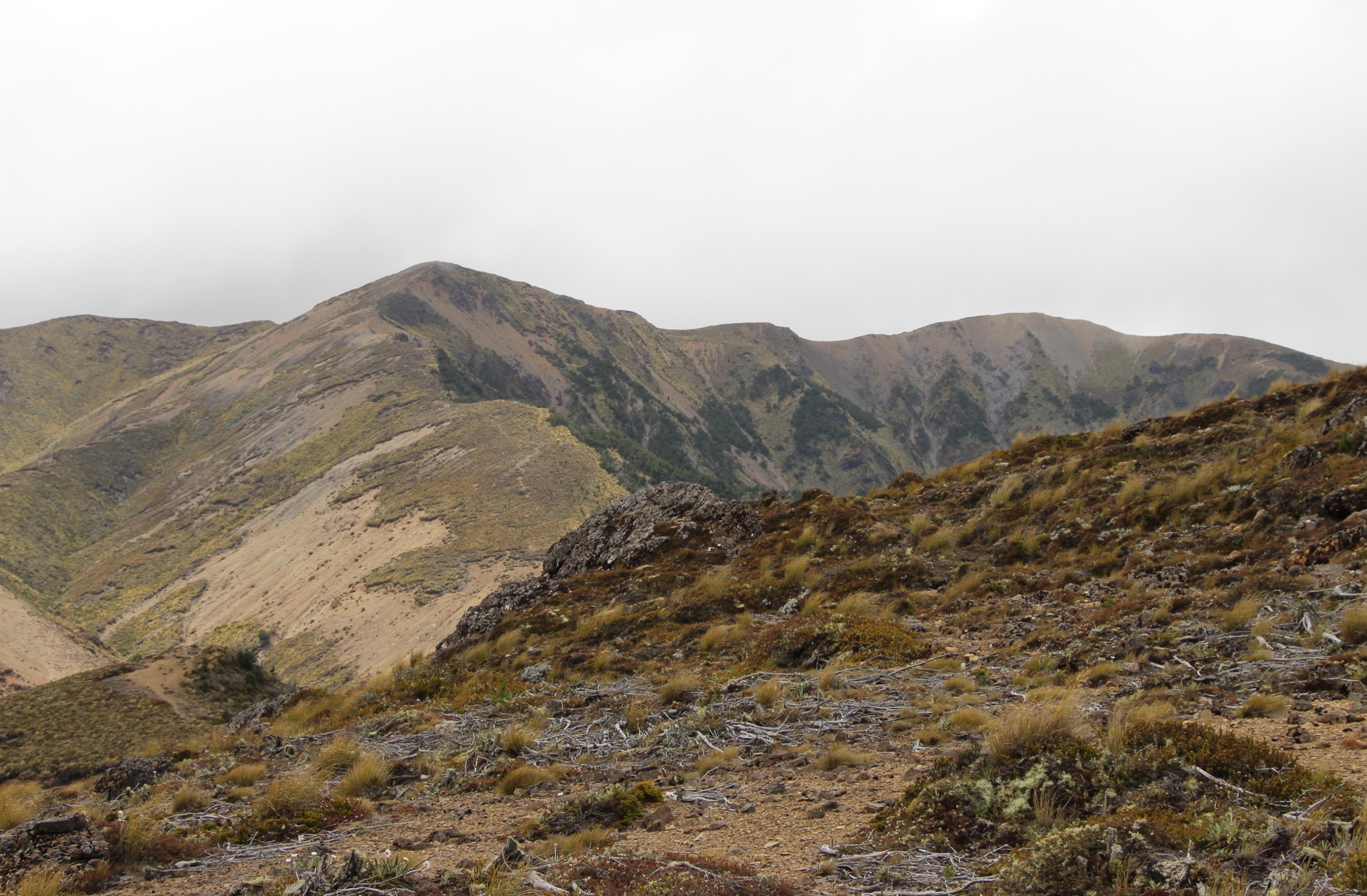
Climb from Makahu Saddle to Kaweka J, then continue westward over exposed high ground to Back Ridge Hut. Return by reversing the route. Treat this as a serious sub-alpine day rather than a casual hut walk.
Why it is essential
This links the highest summit area with the remote western side of the central Kaweka Range and gives one of the best one-day samples of the range’s exposed high-country character.
Hazards and notes
- DOC describes the Back Ridge area as bare, rocky and exposed to frequent north-west gales.
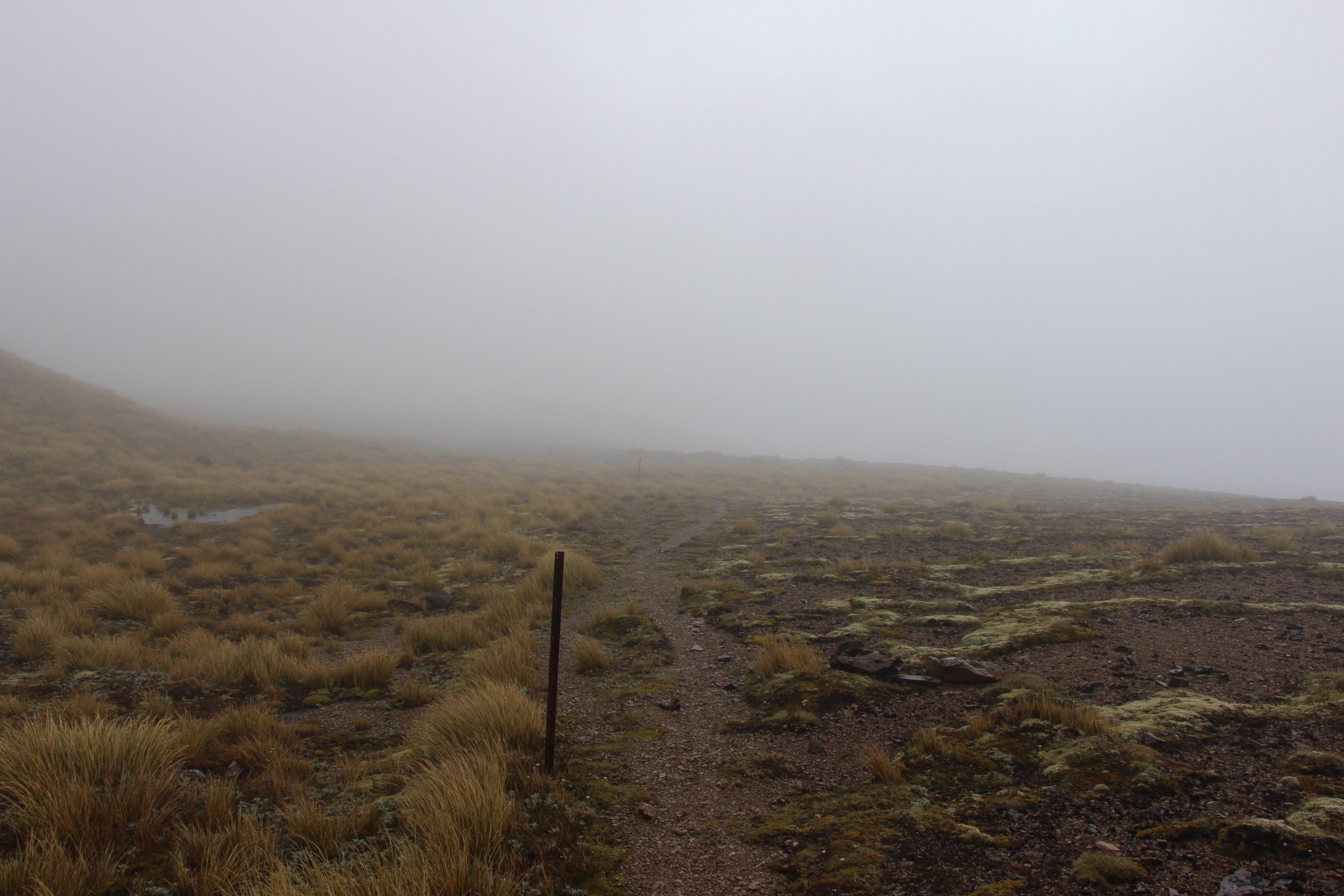
- Navigation is difficult in cloud; the return distance is committing.
- Carry a PLB and full mountain kit including spare warm clothing.
GPX / KML links
| Source | URL | Format | Notes |
|---|---|---|---|
| DOC Back Ridge Hut | doc.govt.nz | Official hut / access page | DOC website terms; hazard source |
| AllTrails Back Ridge Hut via Kaweka J | alltrails.com | Secondary route page | AllTrails terms apply; stats cross-check only |
| OpenStreetMap: Back Ridge Hut | openstreetmap.org | OSM way | ODbL; attribution required |
Further reading
4. Kaweka Flats Track
Snapshot
Itinerary
From Makahu Saddle, follow the forest track through beech and sidestream gullies to Kaweka Flats Bivouac. Return by the same line.
Why it is essential
Kaweka Flats is the best compact central-forest tramp in this set. It gives you a bivouac objective without committing to the exposed main range.
Hazards and notes
- Forest gullies can be muddy and slippery.
- Less exposed than the tops, but still backcountry with sparse services and no public transport.
- Carry a headtorch in case the return runs late.
GPX / KML links
| Source | URL | Format | Notes |
|---|---|---|---|
| DOC Middle Hill Hut | doc.govt.nz | Official hut / access page | DOC website terms; source for Kaweka Flats approaches |
| AllTrails Kaweka Flats Track | alltrails.com | Secondary route page | AllTrails terms apply; stats cross-check only |
| OpenStreetMap: Kaweka Flats Bivouac | openstreetmap.org | OSM way | ODbL; attribution required |
Further reading
5. Studholme Saddle Hut Loop
Snapshot
Itinerary
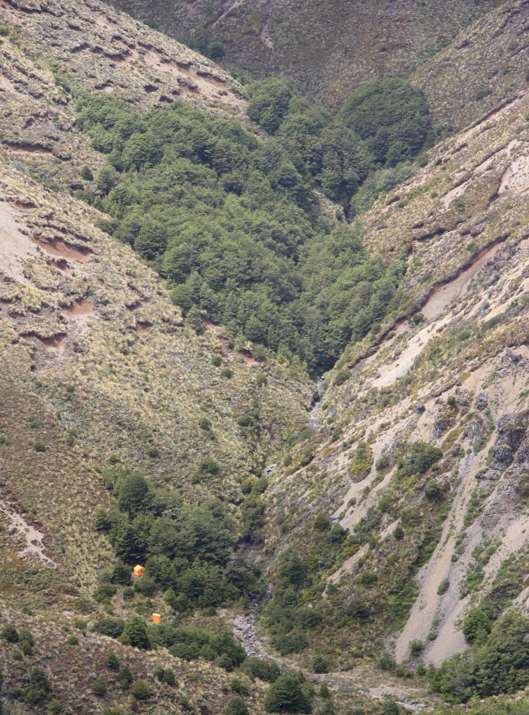
Complete the long loop through forest, exposed tops and the Studholme Saddle Hut area. Check the exact line on current DOC and topo maps before departure: the AllTrails record is the main complete-route source for this circuit.
Why it is essential
This is the strongest long-day central Kaweka loop: high effort, hut country, forest, open tops and broad views over the range.
Hazards and notes
- Very long day with steep sections, possible snow on the tops and limited bailout options.
- DOC notes that Studholme Saddle Hut was relocated in April 2024, so older maps or trip notes may be outdated.
- Carry a PLB and plan for a late finish; the loop is remote for its distance.
GPX / KML links
| Source | URL | Format | Notes |
|---|---|---|---|
| DOC Studholme Saddle Hut | doc.govt.nz | Official hut / access page | DOC website terms; source for the relocated hut |
| AllTrails Kaweka Forest — Studholm Saddle Hut | alltrails.com | Secondary complete-route source | AllTrails terms apply |
| OpenStreetMap: Studholme Saddle Hut | openstreetmap.org | OSM way | ODbL; attribution required |
| OpenStreetMap: Mackintosh Spur Track | openstreetmap.org | OSM way | ODbL; attribution required |
Further reading
Further reading
| Source | URL |
|---|---|
| DOC Kaweka Forest Park | doc.govt.nz |
| DOC Te Puia Hut (Lodge) | doc.govt.nz |
| DOC Dominie Hut | doc.govt.nz |
| DOC Back Ridge Hut | doc.govt.nz |
| DOC Middle Hill Hut | doc.govt.nz |
| DOC Studholme Saddle Hut | doc.govt.nz |
| Wikipedia — Kaweka Range | en.wikipedia.org |
| Wikipedia — Kaweka Forest Park | en.wikipedia.org |