The Everest Base Camp trek is one of Nepal’s classic high-Himalayan journeys. The standard route usually begins and ends at Lukla, the airstrip south of the Everest region often described as the gateway to Everest.
Quick facts
- Overview
- Access
- Route summary
- Lukla to Phakding or Monjo
- Monjo or Jorsale to Namche Bazaar
- Namche Bazaar and acclimatisation
- Khumjung and Khunde side trip
- Namche Bazaar to Tengboche
- Tengboche Monastery
- Tengboche to Pheriche or Dingboche
- Dingboche acclimatisation and Chhukung side trip
- Dingboche or Pheriche to Lobuche
- Lobuche to Gorak Shep
- Gorak Shep to Everest Base Camp
- Kala Patthar
- Sagarmatha National Park
- Permits and entry fees
- Safety and altitude
- Route files and maps
- Source links
Overview
The trek follows a well-established tea-house route through Sherpa settlements, Sagarmatha National Park, the Imja Khola valley and the Khumbu Glacier area before reaching Gorak Shep, Everest Base Camp and the nearby viewpoint of Kala Patthar.
Access
The usual access point is Lukla. Most trekkers fly to Lukla before starting the walk up the Dudh Koshi valley.
Nepal Tourism Board also lists an alternative access route to Sagarmatha National Park by bus to Jiri, followed by trekking onward. However, the Everest Base Camp page itself describes Lukla as the standard start and finish point.
Route summary
Lukla to Phakding or Monjo
From Lukla, the trail makes a relatively gentle approach up the Dudh Koshi valley. Phakding and Monjo are common first-day stopovers. Tea houses are widely available along this section.
Monjo or Jorsale to Namche Bazaar
Just beyond Monjo, trekkers enter Sagarmatha National Park at the Jorsale checkpoint, where permits are checked. After the suspension bridge near Jorsale, the trail climbs steeply. Namche Bazaar is reached after roughly three hours of hiking from this point.
Namche Bazaar and acclimatisation
Namche Bazaar, at about 3,500 m, is the main staging point for Everest-region treks and expeditions. It has lodges, restaurants, equipment shops, Wi-Fi and a Saturday market.
A halt of at least a couple of days is advisable for acclimatisation. Useful acclimatisation walks include short hikes to Syangboche, Thame, Khumjung and Khunde.
Khumjung and Khunde side trip
Khumjung and Khunde are traditional Sherpa villages above Namche. They are useful destinations for acclimatisation walks and offer views across the Khumbu.
The area includes Khumjung School and Kunde Hospital, both associated with Sir Edmund Hillary’s Himalayan Trust.
Namche Bazaar to Tengboche
From Namche, the trail follows the Imja Khola valley, with views of Thamserku, Kangtega, Ama Dablam, Lhotse and Everest. Tengboche is the usual overnight halt after the climb from the Imja Khola.
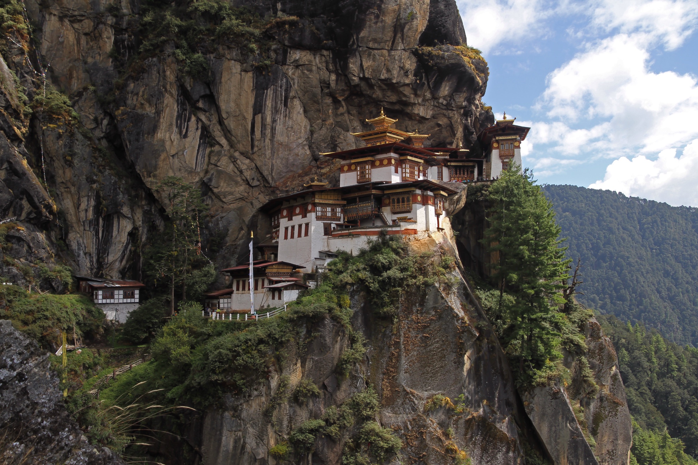
Tengboche Monastery
Tengboche Monastery stands at about 3,867 m on the main Everest Base Camp route. It is one of the best-known monasteries in the Khumbu and has Ama Dablam as its backdrop.
The monastery is associated with the Mani Rimdu festival, held in autumn.
Tengboche to Pheriche or Dingboche
Beyond Tengboche, the route continues along the Imja Khola and climbs through Pangboche to Pheriche or Dingboche. These villages are common overnight stops before continuing higher.
Dingboche acclimatisation and Chhukung side trip
A second acclimatisation day is commonly taken at Dingboche. One useful side trip is the walk to Chhukung, described by Nepal Tourism Board as about three hours from Dingboche.
Dingboche or Pheriche to Lobuche
From Dingboche or Pheriche, the walk to Lobuche takes about six hours. Lobuche sits near the lateral moraine of the Khumbu Glacier.
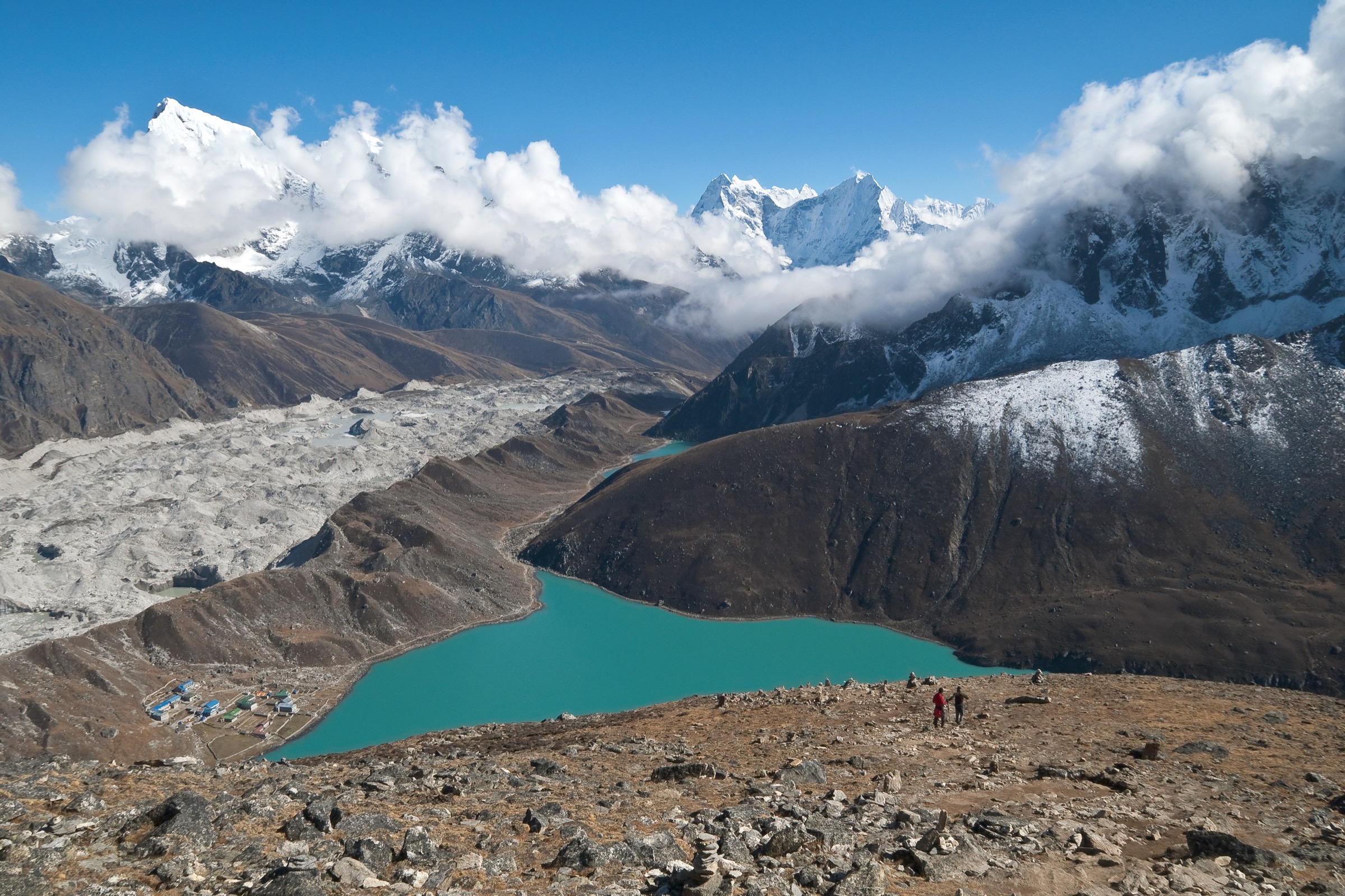
Lobuche to Gorak Shep
From Lobuche, the route to Gorak Shep takes roughly three hours. Gorak Shep is the final settlement on the trail and has only a small number of tea houses.
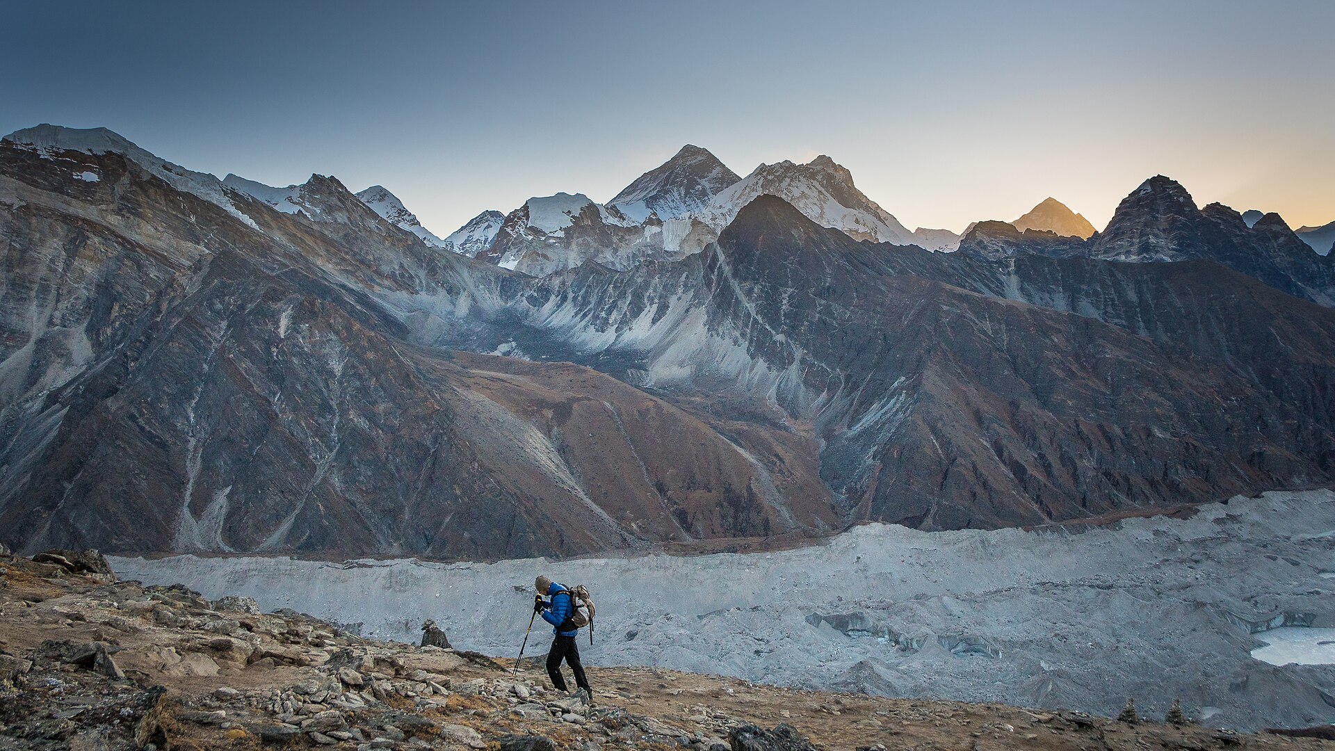
Gorak Shep to Everest Base Camp
The final approach to Everest Base Camp crosses glacial and moraine terrain. The round trip from Gorak Shep to base camp can take up to five hours.
The ground can be treacherous, route-finding can be awkward and caution is needed on ice and loose terrain.
Kala Patthar
Kala Patthar rises above Gorak Shep and is the classic viewpoint for Everest. Nepal Tourism Board lists Kala Patthar at 5,545 m. It is reached from the Tengboche – Pheriche – Gorak Shep line of the route.
Sagarmatha National Park
The trek passes through Sagarmatha National Park, where activities include trekking, mountaineering and experiencing Sherpa culture.
Accommodation in the park includes lodges, tea houses, resort hotels and camping. The park’s listed best seasons are October – November and March – May. December – February brings snow and cold, while June – September is the rainy season.
Permits and entry fees
For the Everest Base Camp Trek, Nepal Tourism Board’s TIMS page lists Everest Basecamp Trek under routes where trekkers need a licensed trekking guide and a trekking-agency-issued TIMS Card under the revised TIMS provision effective from 31 March 2023.
The TIMS fee listed is:
- NPR 1,000 for SAARC nationals
- NPR 2,000 for other foreign nationals
Sagarmatha National Park entry fees are listed as:
- NPR 100 for Nepali citizens
- NPR 1,500 for SAARC nationals
- NPR 3,000 for foreign nationals
- Free for children below 10 years
Safety and altitude
The route goes well above 2,500 m. Nepal Tourism Board advises that feeling unwell above 2,500 m should be treated as Acute Mountain Sickness (AMS) until proven otherwise. If symptoms appear, do not ascend further; if symptoms worsen, descent is required.
Early symptoms of AMS include:
- Headache
- Appetite loss
- Nausea
- Fatigue on minimal exertion
- Dizziness
Preventive advice includes:
- Ascend gradually
- Above 2,500 m, limit sleeping-altitude gain to about 300 – 500 m per day
- Take a rest day after every 1,000 m of altitude gain
- Drink plenty of clean water
Route files and maps
No GPX or KML files were found directly on the Nepal Tourism Board Everest Base Camp page.
However, the Nepal Tourism Board trade site provides an official Everest map PDF. An unofficial GPX/KML route page is also available through VisuGPX.
- Official PDF Everest map PDF Official Everest region map from the Nepal Tourism Board trade site.
- Unofficial GPX / KML VisuGPX Everest Base Camp Trek Community-submitted route page on VisuGPX. Not an official source.
The VisuGPX route is community-submitted and is not endorsed by Nepal Tourism Board. Verify the line against official maps and recent trip reports before relying on it for navigation.
Source links
- Nepal Tourism Board — Everest Base Camp
- Nepal Tourism Board — Sagarmatha National Park
- Nepal Tourism Board — Namche Bazaar
- Nepal Tourism Board — Khunde & Khumjung
- Nepal Tourism Board — Tengboche Monastery
- Nepal Tourism Board — TIMS Card
- Nepal Tourism Board — Park Entry Fees
- Nepal Tourism Board — Safety in the Mountains