Regional overview
Quttinirpaaq National Park (“top of the world” in Inuktitut) occupies the northern third of Ellesmere Island, Nunavut, and at 37,775 km² is the second-largest national park in Canada and the second-northernmost on Earth. The park was established as Ellesmere Island National Park Reserve in 1988, renamed Quttinirpaaq in 1999 and elevated to full national park status in 2000. Recreational visitor numbers are extraordinarily low — Parks Canada records around fifty people per year in normal years, and the 2022–23 season logged seven. There are no marked trails anywhere in the park, and the only formally published self-guided walks are the Kettle Lake Walking Tour and the Tanquary Fiord Hiking Guide, both at the southern Tanquary Fiord warden station.
The Lake Hazen sector, in the interior of the park, is structurally and biologically distinct from the rest of Quttinirpaaq. Lake Hazen itself sits at 81°49′N and 158 m above sea level; it is the largest lake north of the Arctic Circle (544 km², about 78 km long) and the centre of a documented “thermal oasis” microclimate that supports lush High Arctic tundra, breeding waterfowl, muskox herds, Arctic hare, wolves and the densest summer-mosquito populations on the island. Summer air temperatures over the lake terraces commonly exceed 20 °C in late July. The Hazen Camp warden station on the north shore is the practical gateway to the British Empire Range and the Henrietta Nesmith Glacier system, both of which front the lake’s northern shoreline within walking distance of the camp. To the south-east, the lake drains via the Ruggles River into Chandler Fiord on the Nares Strait coast.
Access is exclusively by chartered Twin Otter from Resolute Bay (CYRB) — typically operated by Kenn Borek Air; a return charter is commonly quoted in the C$60,000–70,000 range per group leg, fuel-dependent, with 8–9 passenger capacity and a 1,200 kg payload limit. Every visitor must register with Parks Canada in advance and attend a mandatory in-person orientation, normally delivered at Resolute or by Parks Canada staff at the entry point; daily excursion fees (CAD $16 in the 2024 schedule), camping permits (CAD $33.25/day) and Weatherhaven shelter rates (CAD $28–33.50) apply. Satellite communications (Iridium phone or PLB) are mandatory: Parks Canada is explicit that self-rescue capability is limited and an evacuation may take a week or more.
The walks listed below are not trails. There is no waymarking, no signage and no published track network. They are the best-documented walking objectives within practical day-hike distance of Hazen Camp — drawing on the Operation Hazen International Geophysical Year tradition (1957–59), subsequent scientific-party use through the 1980s, and a handful of expedition accounts published in the American Alpine Journal and the Canadian Alpine Journal. Distances and elevation gains are typically inferred from documented geometry (peak heights, bearings, lake-shore coordinates), not from published GPX traces or measured fieldwork. Every figure is rounded and labelled.
Selection rationale
The five routes below sample the named walking objectives within day-trip distance of the Hazen Camp warden station. Blister Hill and Skeleton Creek are the two classic short walks named in Hazen Camp lore, both ascended habitually by IGY-era scientific parties and still the standard half-day options from the station. The McGill Mountain ridge approach is the longest and hardest single-day objective from camp — a full summit is mountaineering rather than walking, but the south-eastern shoulder is walkable as a turn-around expedition day. The westward shoreline walk toward the Henrietta Nesmith Glacier captures the lake’s defining geographical landmark — the glacier toe descends to within four kilometres of Lake Hazen’s north-western corner — while the Ruggles River outflow at the lake’s eastern end is the lake’s hydrological export and the only documented riverine landmark within day-walking distance of camp. All five walks are within the British Empire Range’s southern foothills and approach a different sector of the same range.
Summary table
| # | Hike | Country | Route type | Distance | Gain | Max elevation | Difficulty |
|---|---|---|---|---|---|---|---|
| 1 | Blister Hill | Canada | Out-and-back | About 5–7 km return | About 150 m | 308 m | Easy (terrain), serious (logistics) |
| 2 | Skeleton Creek valley walk | Canada | Out-and-back | About 8–12 km return | About 200 m | About 350 m | Easy–moderate |
| 3 | McGill Mountain ridge approach | Canada | Out-and-back | 15–25 km return depending on turnaround | About 400–900 m | Up to about 900 m on the shoulder | Strenuous (expedition day) |
| 4 | Henrietta Nesmith shoreline walk (westward) | Canada | Out-and-back | Chosen by the party (8–20 km typical) | Minimal (lake terraces) | About 200 m | Easy (terrain) |
| 5 | Ruggles River outflow | Canada | Out-and-back | About 10–14 km return | Minimal | About 180 m | Easy–moderate |
Before you go
Required equipment
- Sturdy waterproof hiking boots; the lake terraces are sodden tundra over patchy permafrost in midsummer.
- Bear spray and bear-aware food handling; polar bears are uncommon at Lake Hazen but can occur at any time of year and in any part of the park.
- Multiple insulating layers and a wind- and waterproof shell; lake-side air temperatures vary from above 20 °C in the thermal oasis to near freezing within a few hundred metres of elevation.
- Iridium satellite phone or PLB. Parks Canada requires functional satellite communications as a condition of registration; evacuation may take a week or more.
- GPS unit with downloaded NTS 1:50,000 topo sheets — magnetic compasses are effectively unusable this far north of the magnetic pole. Sun-compass technique is the standard backup.
- Robust mosquito-net headwear and DEET-grade repellent for late July walks; Lake Hazen’s thermal oasis hosts heavy mosquito populations in season.
- Sun protection (high-SPF, sun hat, sunglasses); 24-hour daylight and high reflectance off snow and water make UV exposure intense.
- Two to three litres of water capacity; lake water and clear glacial meltwater are the usual sources, treated.
Current access and safety notes
- Visitor registration with Parks Canada Iqaluit (+1 867-975-4673) is mandatory and must be completed well in advance of travel; orientation sessions are delivered in Resolute Bay or at the warden station on arrival.
- The Hazen Camp warden station is normally staffed early June to late July; the practical walking season is mid-July to mid-August, when ground is largely snow-free and the warden is on site.
- Access is by chartered Twin Otter from Resolute Bay only; there is no scheduled passenger service into the park, no road, and no alternative.
- Self-rescue is not realistic and Parks Canada-organised rescue may take a week or more; conservative turnaround discipline is the defining safety principle.
- Polar bears are documented in the park at any season; muskoxen are common around Lake Hazen and may charge if approached; Arctic wolves are habituated to people but should not be approached or fed.
- Magnetic compasses are unusable at this latitude. Carry a GPS and learn sun-compass technique as a backup.
- River crossings on the Henrietta and Ruggles drainages can run high in mid-summer and may close routes for days; check current conditions with the warden.
- Mobile coverage is non-existent. Hazen Camp has limited Parks Canada radio and satellite-based communications.
- The park sits inside the homelands of the Inuit of Resolute Bay and Grise Fiord; the 2023 Management Plan is co-developed with the Qikiqtani Inuit Association and the Inuit Heritage Trust.
1. Blister Hill
Snapshot
Itinerary
Blister Hill is a low rounded summit immediately behind Hazen Camp, the standard short walk for arriving scientific parties since the International Geophysical Year occupation began in 1957. From the camp at the lakeshore, the line crosses lake-terrace tundra north for around two kilometres, then climbs onto the broken ground of the hill itself. The summit at 308 m gives the first standing view of the British Empire Range — Mount Whisler and Barbeau Peak to the north, the Henrietta Nesmith Glacier descending toward the lake to the north-west, and Lake Hazen’s full 78 km axis southward. There is no path; the ascent is route-found across grass-and-rock tundra, with sodden ground on the lower terraces and small stone fields higher up.
The descent retraces the ascent line. With nothing more than the short summit walk, the round trip is on the order of five to seven kilometres and two to four hours. Most parties combine Blister Hill with the Skeleton Creek valley walk immediately west, which extends the day to ten or twelve kilometres without significantly more ascent.
Why it is essential
Blister Hill is the canonical Hazen Camp short walk — named in every published account of the IGY-era station and visited by every scientific party since. The summit gives the standing introduction to the surrounding terrain: lake, glacier, ice cap and British Empire Range. The walk’s modest distance and elevation are what give it utility — arriving aircraft parties typically use it as an acclimatisation walk on day one before committing to anything longer.
Equipment
Sturdy boots, mid-weight layer system, wind- and waterproof shell, bear spray, satellite phone, GPS with NTS 340E loaded, sun protection. The terrain is benign by Arctic standards and the elevation gain is small; the equipment burden is the standard High Arctic minimum rather than anything specific to the hill.
Hazards and notes
- The slope itself is gentle and non-technical; the serious hazards are remoteness, polar bears, weather and navigation.
- Sodden lake-terrace ground on the lower approach; expect to traverse small streams of meltwater on warm days.
- The summit is exposed to wind, which can drive temperatures down quickly even in July.
- Magnetic compasses are unusable; navigate by GPS and by sun-compass technique if cloud closes in.
- Bear-aware food handling at all times; if no warden escort, brief the Hazen Camp warden on the planned line and turnaround.
GPX / KML links
| Source | URL | Format / access | Reuse status |
|---|---|---|---|
| Parks Canada — Quttinirpaaq hiking | parks.canada.ca | Plain-text guidance | Parks Canada terms; no GPX |
| PeakVisor — Blister Hill | peakvisor.com | Coordinates and 3D | Site terms |
| NTS 1:50,000 sheet 340E | maps.canada.ca | National topographic map | Open Government Licence — Canada |
External links
2. Skeleton Creek valley walk
Snapshot
Itinerary
Skeleton Creek drains the saddle between Blister Hill and McGill Mountain south into the north shore of Lake Hazen, immediately west of the warden station. The valley is named for the unusually high concentration of muskox skeletons on its floor — a documented feature noted by IGY-era observers — and it is the standard half-day extension to the Blister Hill summit. From Hazen Camp the line crosses the lake terraces north-westwards, picks up the creek at its outflow and follows the open valley floor inland. There is no path; walking is on grass-and-gravel tundra, with the creek itself as the navigational handrail.
A short day turns around at the first major confluence, perhaps three or four kilometres up the valley. A longer day continues to the head of the creek beneath the McGill–Blister ridge, where the walking transitions into the lower stone fields of the McGill south-eastern shoulder. The descent retraces the ascent line back to the lake. A common variant combines Skeleton Creek with the Blister Hill summit on the outbound and a direct descent back along the lake shore — a short partial loop of around twelve kilometres.
Why it is essential
Skeleton Creek is the second of the two named walks of Hazen Camp tradition (the other being Blister Hill itself). The valley gives a longer half-day’s walking on benign terrain with a steady view north into the British Empire Range, and the muskox skeleton fields are the most distinctive small-scale landscape feature within easy day-trip distance of camp. For parties with one day, choosing between Blister Hill and Skeleton Creek is the standard dilemma; for parties with two days, both are normally done.
Equipment
As for Blister Hill: sturdy boots, layered clothing, wind- and waterproof shell, bear spray, satellite phone, GPS, sun protection. Add an extra litre of water capacity for the longer valley day; Skeleton Creek itself is a reliable refilling source in mid-summer.
Hazards and notes
- The valley is non-technical; the principal hazards are weather, polar-bear awareness and navigation in cloud.
- Skeleton Creek can run high after warm days, particularly in the upper valley; expect easy ankle-depth crossings.
- The skeleton fields are an archaeological and ecological resource; do not collect or move bones. Parks Canada policy is “leave no trace” and Inuit-perspective interpretation is being co-developed with the Inuit Heritage Trust.
- Muskox herds may use the valley; observe from distance and do not place the herd between yourself and camp.
GPX / KML links
| Source | URL | Format / access | Reuse status |
|---|---|---|---|
| Parks Canada — Quttinirpaaq hiking | parks.canada.ca | Plain-text guidance | Parks Canada terms; no GPX |
| NTS 1:50,000 sheet 340E | maps.canada.ca | National topographic map | Open Government Licence — Canada |
| Wikipedia — Hazen Camp | en.wikipedia.org | Encyclopedia article | CC BY-SA 4.0 |
External links
3. McGill Mountain ridge approach
Snapshot
Itinerary
McGill Mountain is the dominant foothill north of Hazen Camp, rising 1,073 m about 19 km NNW of the warden station along a long, broad south-eastern shoulder. The full summit is the closest named peak to camp but is repeatedly described in published accounts as “the most difficult mountain to climb” in the immediate area — meaning it is mountaineering rather than a walking objective. What is feasible as a long day’s walking is the ascent of the south-eastern shoulder to a chosen turnaround, with the full summit taken on as either a two-day expedition or as a basecamp objective.
From Hazen Camp the line trends NNW across the lake terraces, climbs gradually onto the lower flanks of the shoulder via the Skeleton Creek upper valley, and gains the long ridge that runs south-east from the summit. The walking is on grass-tundra below about 500 m, transitioning into stone-field and broken-rock terrain above. The ridge itself is broad and non-technical to about 900 m; above that the route narrows and steepens into a mountaineering objective. A sensible day-walk turnaround sits between about 700 m and 900 m on the shoulder, with the standing view extending north over the Henrietta Nesmith Glacier and the British Empire Range crest beyond. The descent reverses the ridge to the lake terraces and follows them back to camp.
Why it is essential
McGill Mountain is the only named peak within a single-day walking radius of Hazen Camp; the south-eastern shoulder gives the standing view into the central British Empire Range that no other day-trip from the warden station provides. The walk is included because the published Hazen Camp record — particularly the IGY-era accounts and the more recent Lehnherr et al. limnological field reports — uses the McGill shoulder as the standard high-vantage day objective. The full summit belongs in an expedition itinerary; the shoulder belongs in this list.
Equipment
Sturdy boots, full layered clothing system including extra insulation for the upper shoulder, wind- and waterproof shell, bear spray, satellite phone, GPS with NTS 340E loaded, sun protection, three litres of water capacity, headlamp despite 24-hour daylight (for snow-cave shelter use if weather forces it). Trekking poles are useful on the upper stone fields.
Hazards and notes
- This is not a normal day hike. A turnaround between 700 m and 900 m on the south-eastern shoulder is a long, strenuous expedition day from camp; the full summit is mountaineering.
- The upper ridge is exposed to wind from the British Empire Range icefields; expect rapid deterioration.
- Snow on the upper shoulder lingers into August in cool years and may force a lower turnaround.
- Navigation in cloud is serious; the shoulder is broad and the descent line is not obvious without GPS waypoints.
- Brief the warden in detail before departure and agree a check-in time.
GPX / KML links
| Source | URL | Format / access | Reuse status |
|---|---|---|---|
| Parks Canada — Quttinirpaaq hiking | parks.canada.ca | Plain-text guidance | Parks Canada terms; no GPX |
| PeakVisor — McGill Mountain | peakvisor.com | Coordinates and 3D | Site terms |
| NTS 1:50,000 sheet 340E | maps.canada.ca | National topographic map | Open Government Licence — Canada |
External links
4. Henrietta Nesmith shoreline walk (westward)
Snapshot
Itinerary
The Henrietta Nesmith Glacier descends from the high British Empire Range icefield to within about four kilometres of the north-western corner of Lake Hazen, the closest a major outlet glacier comes to the lake. From Hazen Camp the line follows the north shore of the lake west, on lake-terrace tundra that rolls between about 158 m and 200 m, with the glacier ahead and the Garfield Range to the south across the water. The full distance from Hazen Camp to the Henrietta River delta is on the order of 25–30 km one-way — beyond a single-day return — but the walk can be turned around at any point and the standing view of the glacier toe is available from within ten kilometres of camp on clear days.
The route has no path. Walking is generally easy on dry terraces and sodden in the wetter mid-summer sections, with multiple small meltwater streams. The descent retraces the ascent line. Most parties choose a turnaround that fits their day window — a short walk west of four or five kilometres for a half-day’s glacier viewing, or a longer eight-to-ten-kilometre line for a full day with binoculars at the turnaround.
Why it is essential
The Henrietta Nesmith Glacier is the defining geographical landmark on the Lake Hazen viewshed and the most accessible major outlet glacier of the British Empire Range icefields. The shoreline walk is the only westward day-trip from Hazen Camp that captures the relationship between the lake and the high range — both visually and as a physical traverse — and is the natural complement to Blister Hill (the camp-summit view) and the eastward Ruggles River walk.
Equipment
Sturdy boots, layered clothing, wind- and waterproof shell, bear spray, satellite phone, GPS, binoculars for the glacier viewpoint, sun protection, two litres of water capacity. The walk’s modest demands are about the lake-terrace surface and the long flat distances rather than any single technical feature.
Hazards and notes
- Sodden ground in mid-July; expect wet feet on the terraces.
- Multiple shallow meltwater stream crossings; none normally problematic but can run higher on warm days.
- The full Henrietta River delta is well beyond a single-day walking distance from camp and is not the turnaround for this hike — the day’s objective is the glacier view, not the delta.
- Polar bears are uncommon at Lake Hazen but possible; keep the line walkable as a defensive return.
- Lake-shore ice can persist into July in cool years; do not assume open water.
GPX / KML links
| Source | URL | Format / access | Reuse status |
|---|---|---|---|
| Parks Canada — Quttinirpaaq hiking | parks.canada.ca | Plain-text guidance | Parks Canada terms; no GPX |
| Wikipedia — Lake Hazen | en.wikipedia.org | Encyclopedia article | CC BY-SA 4.0 |
| NTS 1:50,000 sheet 340E | maps.canada.ca | National topographic map | Open Government Licence — Canada |
| Lehnherr et al. 2018 — Nature Sci. Rep. | nature.com | Peer-reviewed paper | CC BY 4.0 |
External links
5. Ruggles River outflow
Snapshot
Itinerary
Lake Hazen drains south-east via the Ruggles River, which exits the lake at its eastern end and flows roughly 90 km to Chandler Fiord on the Nares Strait coast. The outflow itself is the only documented riverine landmark within day-walking distance of Hazen Camp and gives the natural eastward day’s objective from the warden station, complementing the westward Henrietta Nesmith shoreline walk. The line follows the lake’s north-eastern shore on tundra terraces, with intermittent gravel beach and steeper bluffs over short sections. There is no path; walking is route-found across grass and gravel surfaces with multiple small meltwater stream crossings.
The outflow is reached after roughly five to seven kilometres of walking east from camp, depending on the precise drainage line in the year of visit (the outflow position has been documented to shift across a small delta in response to seasonal lake-level variation). A typical day’s walking is reaching the outflow, observing the transition from lake to river, and retracing the line back to camp. The walk can be combined with a short upstream tundra survey on the lake’s south-eastern terraces for parties with longer day windows.
Why it is essential
The Ruggles River outflow is the eastward counterpart to the Henrietta Nesmith walk: the lake’s defining hydrological export, the boundary between the Lake Hazen thermal-oasis ecosystem and the much sparser tundra of the Hazen Plateau to the east, and the natural eastward day’s objective from camp. The walk is short by the standards of the other day-trips from Hazen Camp and gives a fuller picture of the lake basin within a half- to three-quarter-day window.
Equipment
Sturdy boots, layered clothing, wind- and waterproof shell, bear spray, satellite phone, GPS, sun protection, two litres of water capacity. Wading shoes or sandals are useful for the small stream crossings on warm days.
Hazards and notes
- Lake-edge bluffs over short sections of the line; stay on the upper terraces where the shoreline narrows.
- Small meltwater stream crossings can run high on warm days; expect ankle-depth fording.
- The outflow can shift across a small delta from year to year; use GPS waypoints rather than relying on prior topo maps.
- Polar bears are uncommon but possible; brief the warden before departure.
- The Hazen Plateau east of the outflow is significantly more exposed and less hospitable than the lake basin; do not extend the walk inland without explicit warden agreement.
GPX / KML links
| Source | URL | Format / access | Reuse status |
|---|---|---|---|
| Parks Canada — Quttinirpaaq hiking | parks.canada.ca | Plain-text guidance | Parks Canada terms; no GPX |
| NTS 1:50,000 sheet 340E | maps.canada.ca | National topographic map | Open Government Licence — Canada |
| Wikipedia — Ruggles River | en.wikipedia.org | Encyclopedia article | CC BY-SA 4.0 |
External links
Missing data and follow-up work
- No published GPX tracks exist for any walk in this article. Parks Canada loans GPS units at warden stations with park waypoints, but those waypoint files are not published online. Distances and elevation gains here are inferred from documented geometry (PeakVisor peak heights, NTS map measurement, lake-shore coordinates) rather than from measured tracks.
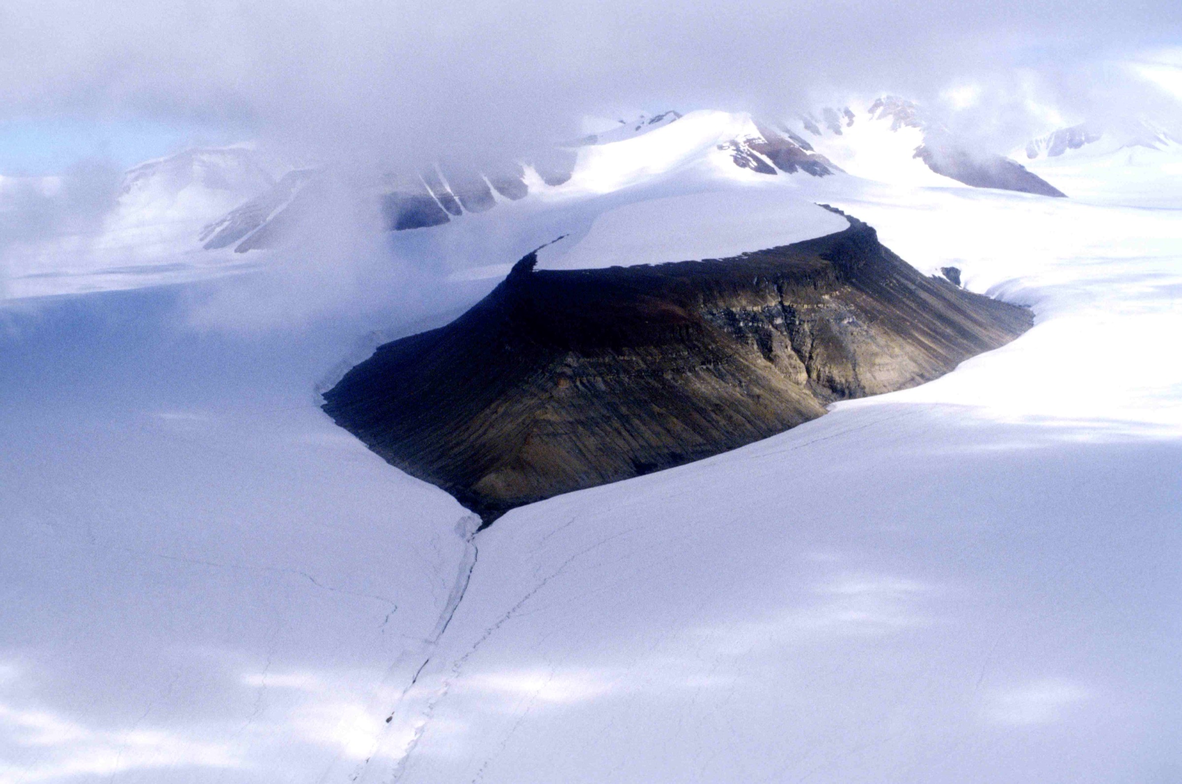
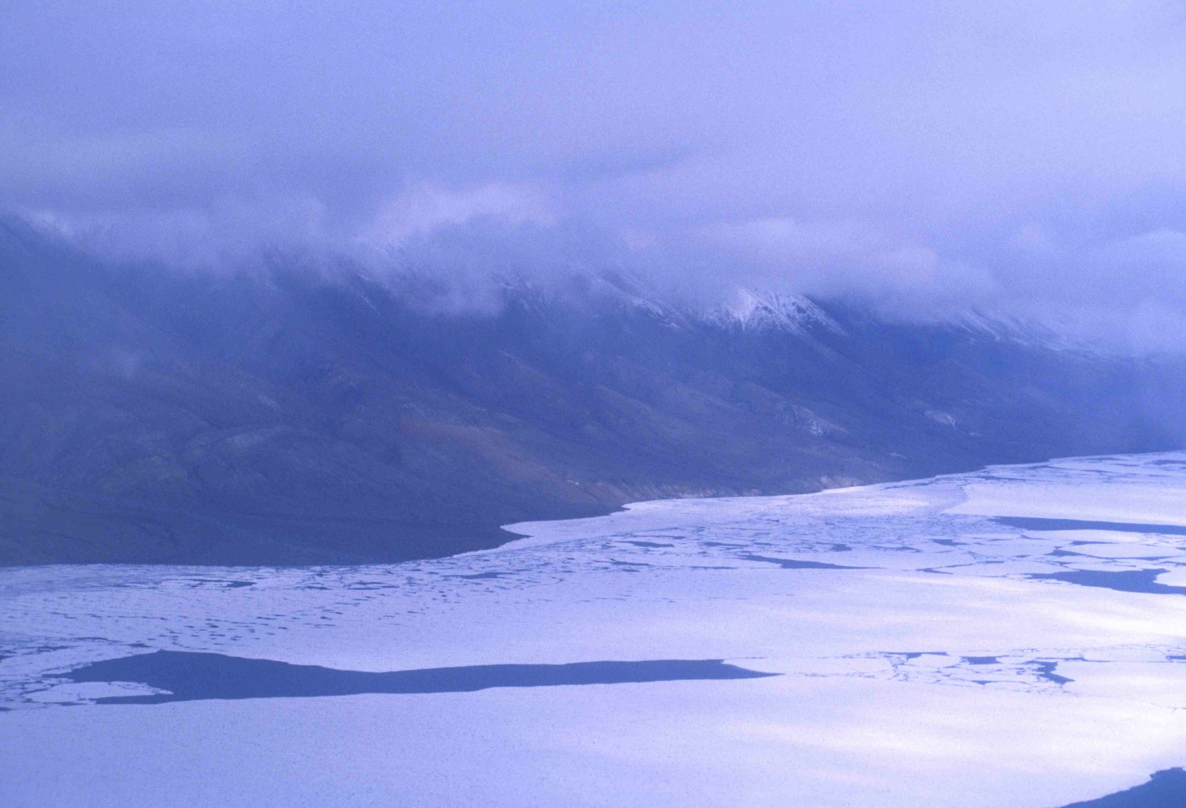
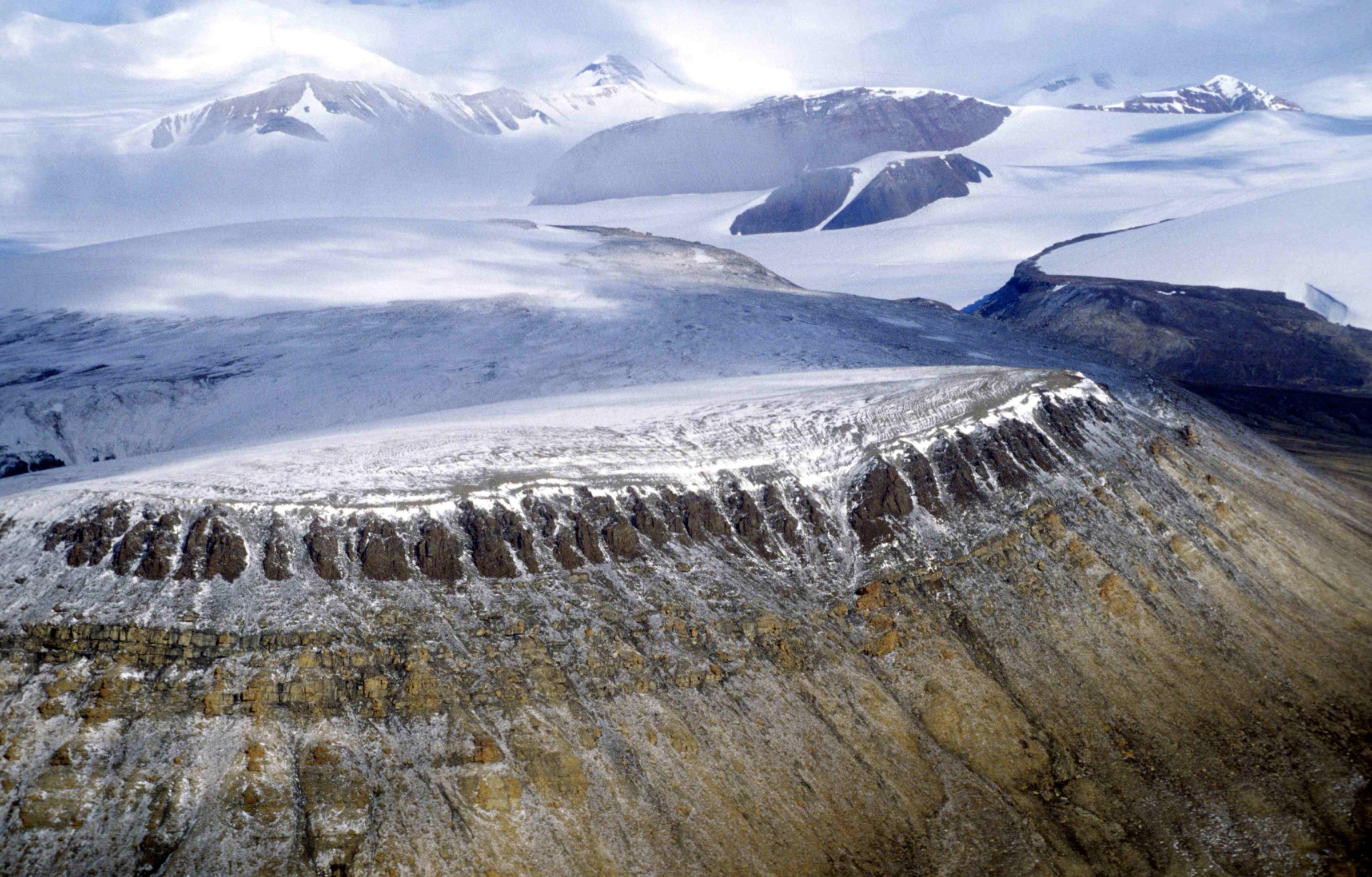
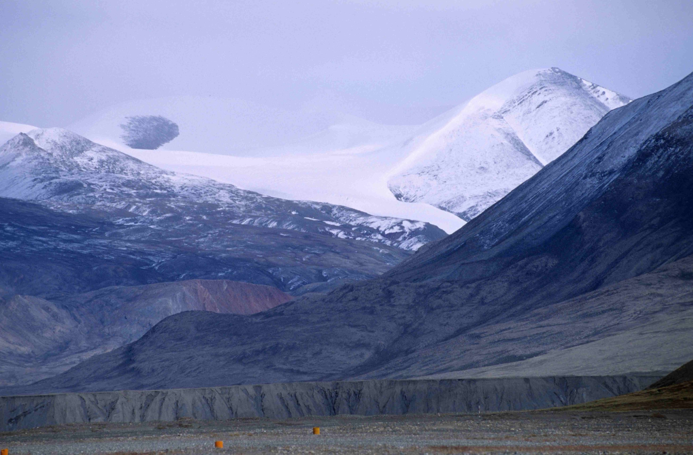
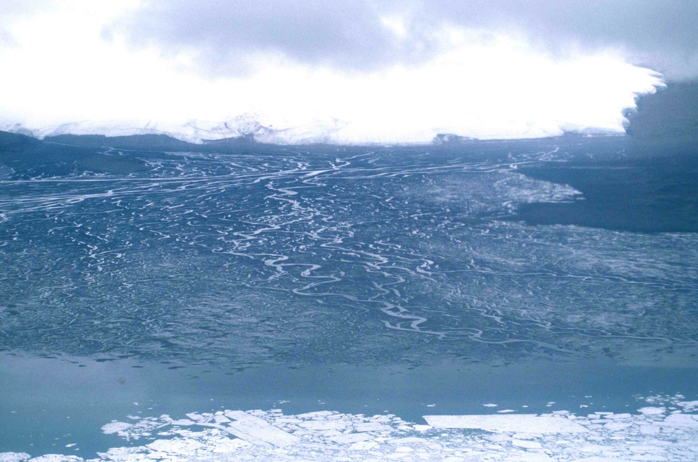
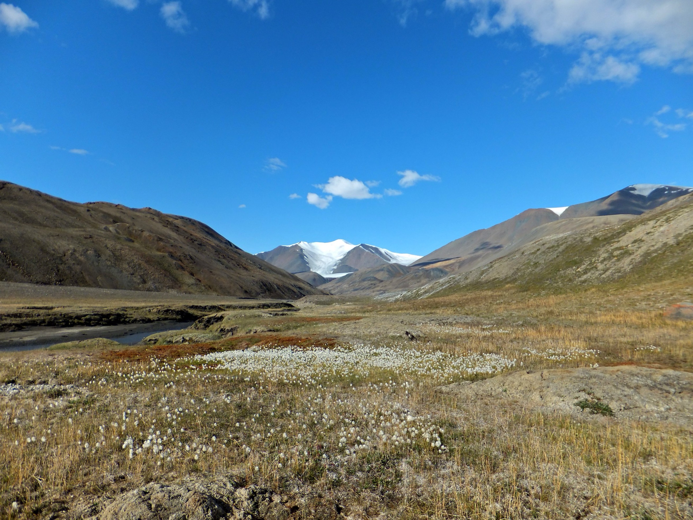
- No landmark-specific high-resolution photographs exist on Wikimedia Commons for Blister Hill, Skeleton Creek, McGill Mountain or the Ruggles River outflow. Per-hike figures are illustrative landscape photographs from the Ansgar Walk 1997 Ellesmere series and from Paul Gierszewski’s 2011 Tanquary work; figcaptions are honest about the illustrative use.
- Hazen Camp’s coordinates are quoted in published accounts at 81°49′N 71°20′W; the precise warden-station position on the lake’s north shore should be confirmed with Parks Canada at registration.
- The McGill Mountain shoulder turnaround is presented here as a long expedition day rather than a routine day hike. There is no published walking itinerary; the article describes the geometry of a sensible day’s objective rather than recommending a specific line. Brief Parks Canada in detail before attempting.
- Charter flight cost is quoted as a 2024 ballpark of C$60,000–70,000 per Twin Otter leg; the figure varies substantially with fuel cost and operator scheduling. Confirm current rates with Kenn Borek Air at the planning stage.
- The first-ascent of Barbeau Peak referenced in the British Empire Range context was on 7 June 1967 by Geoffrey Hattersley-Smith leading a joint Defence Research Board / Royal Air Force party, with DRB surveyor Keith Arnold in the summit party of five. This is included as cross-reference because the British Empire Range is the dominant terrain visible north of Lake Hazen.
External links
| Source | URL |
|---|---|
| Parks Canada — Quttinirpaaq National Park | parks.canada.ca |
| Parks Canada — Quttinirpaaq hiking | pc.gc.ca |
| Parks Canada — Quttinirpaaq plan your visit | parks.canada.ca |
| Parks Canada — communications safety | parks.canada.ca |
| Parks Canada — polar bear safety | parks.canada.ca |
| Quttinirpaaq 2023 Management Plan | parks.canada.ca |
| Wikipedia — Quttinirpaaq National Park | en.wikipedia.org |
| Wikipedia — Lake Hazen | en.wikipedia.org |
| Wikipedia — Hazen Camp | en.wikipedia.org |
| Wikipedia — Operation Hazen | en.wikipedia.org |
| Wikipedia — Ruggles River | en.wikipedia.org |
| Lehnherr et al. 2018 — Lake Hazen limnology | nature.com |
| AAC Publications — Many First Ascents Near Barbeau Peak | publications.americanalpineclub.org |
| Inuit Heritage Trust | ihti.ca |
| Polar Continental Shelf Program | nrcan.canada.ca |
| Kenn Borek Air | borekair.com |