Regional overview
The Stikine Ranges / Stikine Country are among the least straightforward hiking regions in this catalogue. The landscape is vast, remote, and split between canyon corridors, volcanic plateaus, coast-range glacier roads, wilderness parks, and fly-in or canoe-accessed camps. There are far fewer maintained public day-hikes than in more famous mountain regions.
This entry therefore treats “essential day-hike” as “day objective within the Stikine country and adjacent northern border ranges.” Several hikes are only realistic from a remote base such as Cold Fish Lake Campground or from a road-accessed alpine viewpoint. They are retained because BC Parks and local tourism sources identify them as legitimate hiking opportunities, but many statistics remain unresolved.
The walking season is short and weather-sensitive. Expect bears, steep canyon edges, unmaintained trails, high water, hunting seasons, rough roads, no phone service, and long emergency response times. Satellite communication and conservative trip planning are appropriate for all remote routes.
Selection rationale
The selection covers the iconic Salmon Glacier road-accessed alpine viewpoint, the Grand Canyon of the Stikine roadside hiking stop, and three BC Parks-listed Spatsizi / Cold Fish Lake day objectives that can be hiked from a remote base. More speculative historic routes, overgrown telegraph lines, and multi-day access trails were excluded.
Summary table
| # | Hike | Country | Route type | Distance | Gain | Max elevation | Difficulty |
|---|---|---|---|---|---|---|---|
| 1 | Salmon Glacier Viewpoint Alpine Walk | Canada | Out-and-back | 7 km Trailpeak source | Around 1,300 m road viewpoint area, approximate | Moderate | |
| 2 | Stikine River Park Tuya River Viewpoint Trail | Canada | Out-and-back | Short trail; exact distance unresolved | Easy, but exposed canyon area | ||
| 3 | Spatsizi Plateau Trail from Cold Fish Lake / Hyland Post | Canada | Out-and-back | 13.0 km AllTrails | 840 m AllTrails | Hard / remote | |
| 4 | Black Fox Creek Day-Hike | Canada | Out-and-back | Moderate-hard / remote | |||
| 5 | Danihue Pass Trail from Cold Fish Lake | Canada | Out-and-back / pass route | Hard / remote |
1. Salmon Glacier Viewpoint Alpine Walk
Snapshot
Itinerary
From the Salmon Glacier summit viewpoint area, the informal hiking route leaves the road and crosses alpine meadows and rocky ground near the glacier overlook. The route gives views of the large T-shaped Salmon Glacier, surrounding peaks, mine roads, and alpine flowers before returning to the viewpoint area.
Why it is essential
Salmon Glacier is one of the most accessible major glacier viewpoints in northern British Columbia. Even though the main approach is by road, the alpine walk near the viewpoint provides the strongest short hiking objective in this glacier-access area.
Equipment
- Mountain hiking equipment.
- Bear spray, warm windproof layers, rain shell, water, and navigation backup are recommended.
- Extra caution is required if stepping onto snow or ice; avoid crevassed or unstable glacier terrain.
Hazards and notes
- The Stewart tourism page notes dusty conditions and narrow sections on the Salmon Glacier road.
- Weather, fog, snow, industrial traffic, and road washouts can affect access.
- Trailpeak mentions a small glacier near the ridge and says to stay left to avoid crevassed terrain; this needs local confirmation and should not be interpreted as approval for glacier travel.
GPX / KML links
| Source | URL | Format / access | Reuse status |
|---|---|---|---|
| Stewart Tourism Salmon Glacier page | stewart-tourism.com | Official tourism access page | Site terms not evaluated for route reuse; access source checked, no GPX found |
| Salmon Glacier / Highway 37A auto-tour PDF | stewart-tourism.com | Official tourism PDF map / access guide | Site terms not evaluated for route reuse; source map found, not a hiking GPX |
| Trailpeak Salmon Glacier Viewpoint | trailpeak.com | Source route page | Trailpeak terms apply; secondary hiking stats checked; GPX reuse unresolved |
External links
- Stewart Tourism — Salmon Glacier
- Stewart Tourism — Glacier Highway 37A auto-tour PDF
- Trailpeak — Salmon Glacier Viewpoint
2. Stikine River Park Tuya River Viewpoint Trail
Snapshot
Itinerary
BC Parks describes a pullout as visitors enter Stikine River Park, about 60 km west of Dease Lake. From the pullout, a short trail leads to a viewpoint overlooking the Tuya River Valley. The route is a brief viewpoint walk rather than a full mountain hike.
Why it is essential
The Grand Canyon of the Stikine is the defining feature of the park. This official viewpoint trail is the most straightforward documented hiking stop for seeing the canyon-country landscape safely from designated access.
Equipment
- Standard hiking equipment.
- Bear spray and weatherproof layers are recommended.
- Carry water and emergency supplies for the Telegraph Creek Road drive.
Hazards and notes
- BC Parks warns that sharp drop-offs border the Grand Canyon and broken rock makes approaching the rim extremely dangerous.
- Stay on designated trails and obey signs.
- The road to Telegraph Creek is steep, narrow, rough, and remote.
GPX / KML links
| Source | URL | Format / access | Reuse status |
|---|---|---|---|
| BC Parks Stikine River Park | bcparks.ca | Official route/access description | BC Parks website terms not evaluated for route reuse; official source checked, no GPX found |
External links
3. Spatsizi Plateau Trail from Cold Fish Lake / Hyland Post
Snapshot
Itinerary
BC Parks describes the Spatsizi Plateau Trail as a day-hike from the Cold Fish Lake / Hyland Post area that climbs steeply in sections to the plateau. The plateau provides wildlife viewing and wide views across the surrounding wilderness. Passing through or near Hyland Post involves private property considerations.
Why it is essential
This is the strongest high-country day hike in the Spatsizi-Stikine wilderness system. It represents the plateau landscape that gives Spatsizi its name and reputation.
Equipment
- Full remote mountain hiking equipment.
- Satellite communicator, map and compass, GPS, bear deterrent, emergency shelter, warm layers, rain gear, and extra food are recommended.
Hazards and notes
- BC Parks states that Spatsizi trails are remote, not frequently travelled, not maintained by BC Parks, and suitable only for experienced backcountry hikers.
- Wet boggy sections, blown-down trees, high water, game trails, hunting seasons, and private property around Hyland Post require caution.
GPX / KML links
| Source | URL | Format / access | Reuse status |
|---|---|---|---|
| BC Parks Spatsizi hiking page | bcparks.ca | Official route description | BC Parks website terms not evaluated for route reuse; official source checked, no GPX found |
| AllTrails route page | alltrails.com | Source route / app map | AllTrails terms apply; secondary profile checked; GPX reuse unresolved |
External links
4. Black Fox Creek Day-Hike
Snapshot
Itinerary
From Cold Fish Lake Campground, the route follows Black Fox Creek on a moderately steep day-hike. BC Parks notes wet or muddy portions after rain, especially when the trail has seen recent use.
Why it is essential
Black Fox Creek is one of the few BC Parks-listed day-hikes from Cold Fish Lake Campground. It adds a valley-and-creek option to the plateau objective and is included because official route detail exists, even though full statistics are missing.
Equipment
- Full remote mountain hiking equipment.
- Satellite communicator, map and compass, GPS, bear deterrent, waterproof boots, gaiters, warm layers, and rain gear are recommended.
Hazards and notes
- The route is not maintained by BC Parks and is not frequently travelled.
- Mud, wet ground, game trails, hunting seasons, and poor weather can make navigation difficult.
- Leave a trip plan with a reliable person before entering the area.
GPX / KML links
| Source | URL | Format / access | Reuse status |
|---|---|---|---|
| BC Parks Spatsizi hiking page | bcparks.ca | Official route description | BC Parks website terms not evaluated for route reuse; official source checked, no GPX found |
External links
5. Danihue Pass Trail from Cold Fish Lake
Snapshot
Itinerary
The Danihue Pass Trail starts along the Bug Lake Trail from the airstrip near the north end of Cold Fish Lake. After a bridge and junction, it climbs through forest for roughly two hours before opening into alpine terrain and continuing toward the pass.
Why it is essential
Danihue Pass is a classic pass-style objective in the Cold Fish Lake trail system and provides the most obvious alpine-pass route among the BC Parks-listed day options.
Equipment
- Full remote mountain hiking equipment.
- Satellite communicator, navigation tools, bear deterrent, warm layers, waterproof layers, food, water, and emergency shelter are recommended.
Hazards and notes
- BC Parks notes that the route is reasonably easy to follow in places, but signs at trail junctions are not regularly maintained and the Ice Box Canyon junction can be difficult to find.
- Remote-trail conditions, high water, hunting seasons, and weather can change the seriousness quickly.
GPX / KML links
| Source | URL | Format / access | Reuse status |
|---|---|---|---|
| BC Parks Spatsizi hiking page | bcparks.ca | Official route description | BC Parks website terms not evaluated for route reuse; official source checked, no GPX found |
External links
Missing data / follow-up work
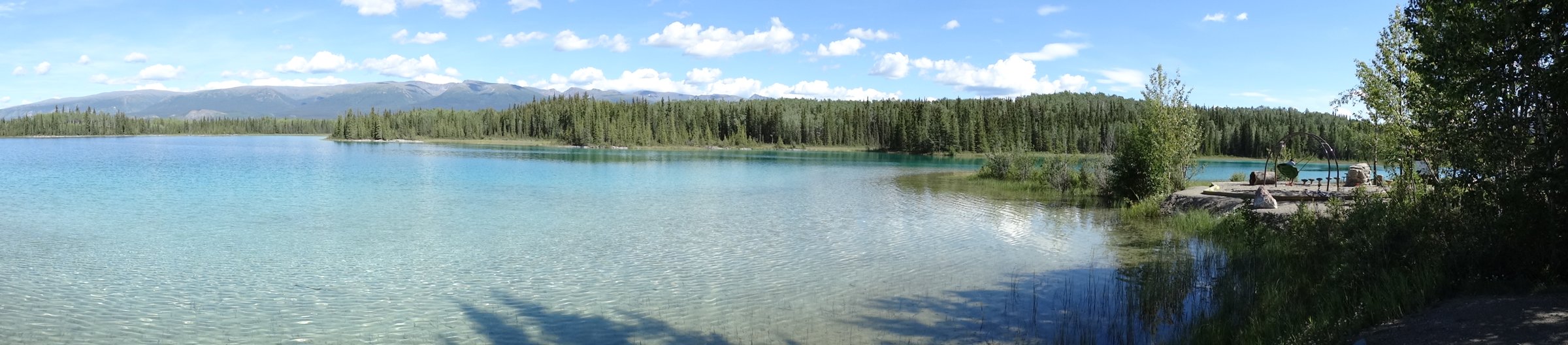
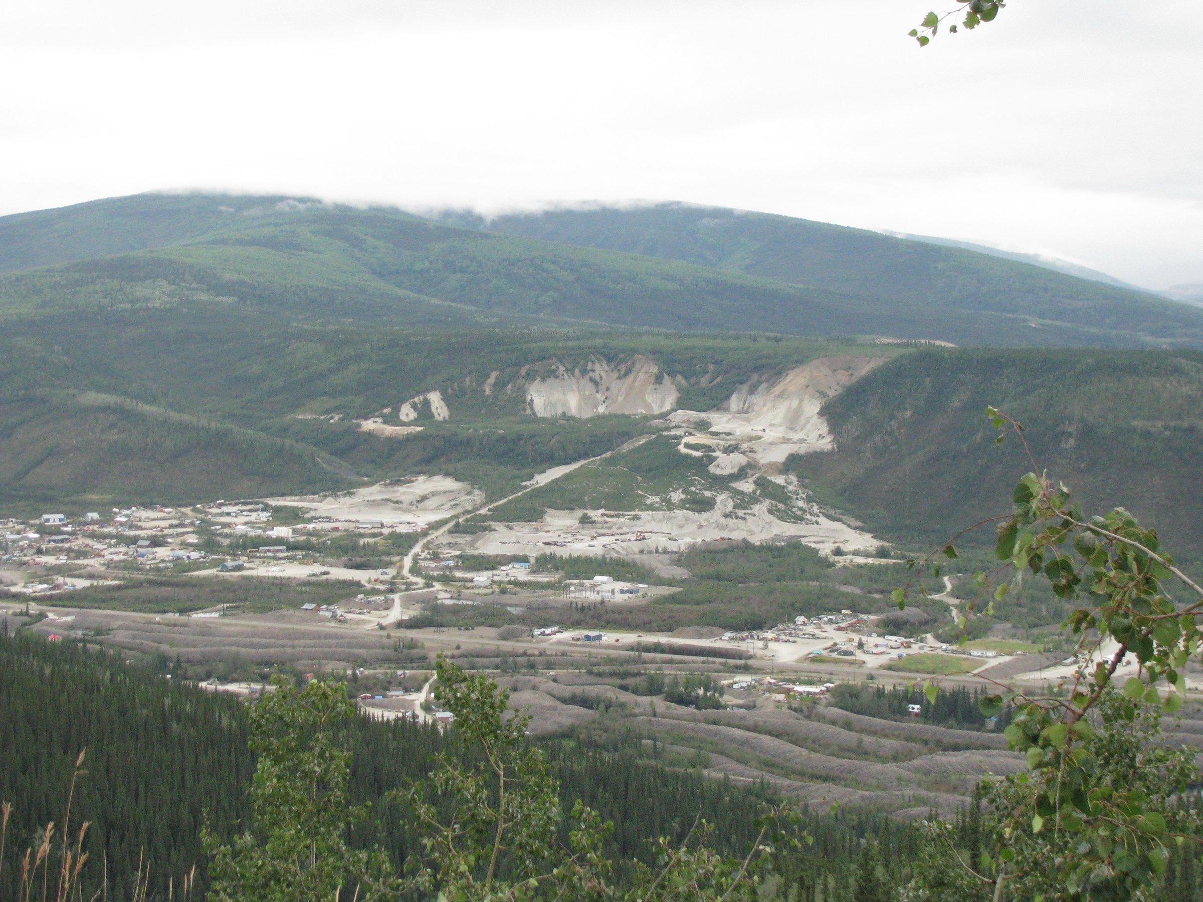
- The strict Stikine Ranges have very limited published day-hike data. This file uses Stikine Country and adjacent border-range objectives where available.
- Black Fox Creek and Danihue Pass lack published distance, gain, loss, and maximum elevation in the checked official source.
- The Stikine River Park viewpoint trail is official but lacks published distance and elevation statistics.
- No official GPX files were found for the selected Stikine routes.
- Route-specific licence-compatible photos were not found for the Cold Fish Lake routes; regional Stikine imagery is used.
- Access to Cold Fish Lake and Spatsizi routes requires separate wilderness logistics and current local confirmation.
External links
| Source | URL |
|---|---|
| BC Parks — Stikine River Park | bcparks.ca |
| BC Parks — Spatsizi Plateau Wilderness Park hiking | bcparks.ca |
| Stewart Tourism — Salmon Glacier | stewart-tourism.com |
| Stewart Tourism — Glacier Highway 37A auto-tour PDF | stewart-tourism.com |
| Trailpeak — Salmon Glacier Viewpoint | trailpeak.com |
| AllTrails — Spatsizi Plateau Trail | alltrails.com |