Regional overview
The British Empire Range is the world’s northernmost mountain range outside Greenland. It runs east–west across the northern interior of Ellesmere Island, between roughly 81°30′N and 82°30′N, and contains the highest summits of eastern North America. Barbeau Peak (2,616 m) is the high point — the tallest mountain in Nunavut and the highest summit east of the Saint Elias Mountains and north of the Mexican border on the North American continent. The range was first traversed and named in 1935 by the Oxford University Ellesmere Land Expedition under Gordon Noel Humphreys, the same expedition that made the first ascent of Mount Oxford (2,210 m) on 1 May 1935, climbed by A. W. Moore and the Greenlandic Inuit guide Nukapinguaq via the Gillman Glacier. Barbeau Peak itself was first climbed on 7 June 1967 by a Defence Research Board / Royal Air Force party led by Geoffrey Hattersley-Smith with surveyor Keith Arnold in the summit party of five.
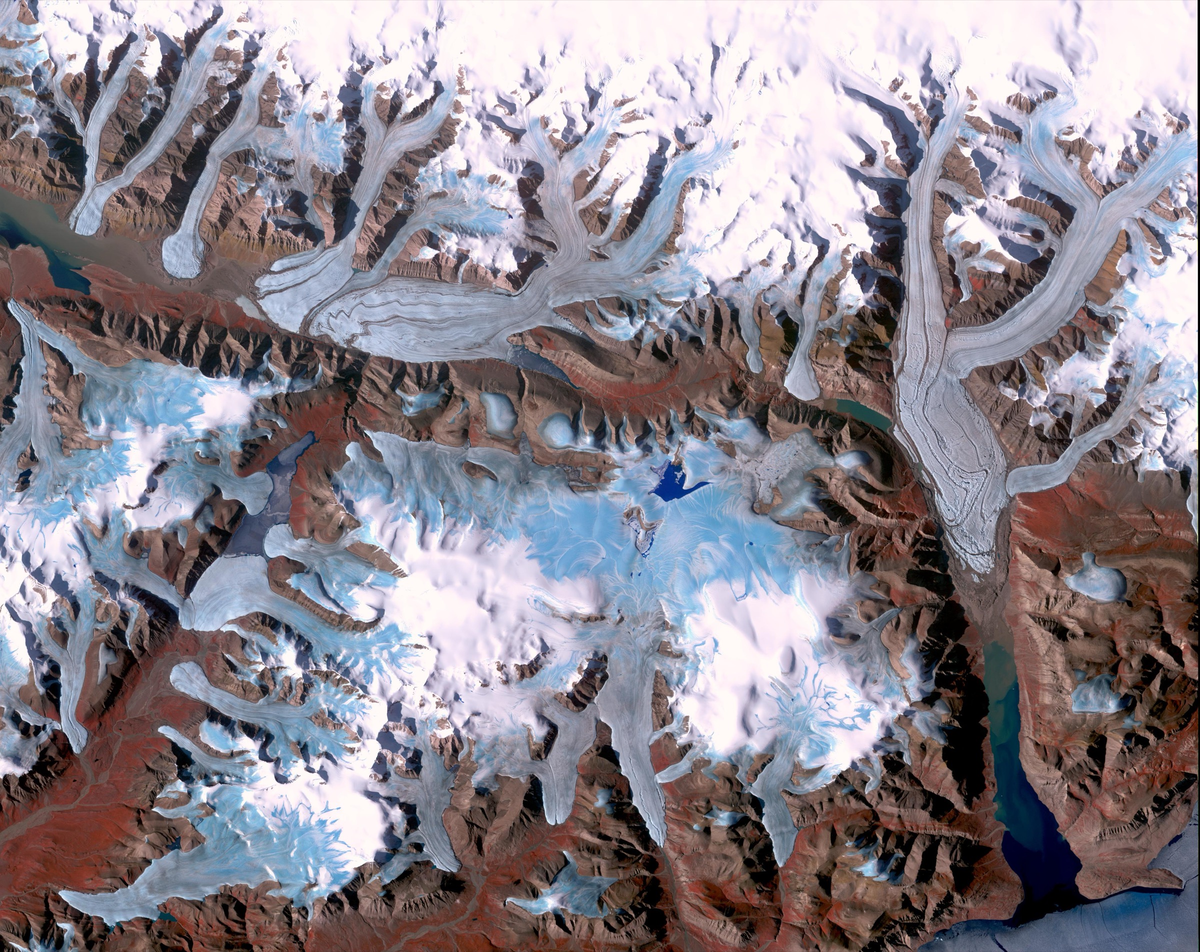
The whole range lies inside Quttinirpaaq National Park, the second-largest national park in Canada at 37,775 km². Roughly 36 % of the park is glaciated, with the Grant Ice Cap (high point about 1,437 m) and the Ad Astra Ice Cap (about 1,676 m) covering the high ground around the British Empire Range. Access is by chartered Twin Otter from Resolute Bay (CYRB), normally to one of two Parks Canada warden stations: Tanquary Fiord at the southern foot of the range (the standard southern gateway, with the Air Force Glacier draining south from Barbeau Peak into the fiord), or Lake Hazen to the south-east (the standard eastern gateway, an IGY-era scientific base from 1957 under Operation Hazen). The range itself has no infrastructure. The two named historic sites that book-end the northern Ellesmere coast — Fort Conger on Lady Franklin Bay (used by Greely 1881–84 and reused by Peary 1899–1908) and Cape Sheridan / Floeberg Beach on the Lincoln Sea coast (Peary’s 1908–09 winter base aboard the Roosevelt) — both lie inside Parks Canada protective regimes and require an arranged escort to visit.
Two formal Parks Canada walking documents apply to the range: the Lake Hazen and Tanquary Fiord Hiking Guides. Both describe the lower-valley walking around the warden stations, not the high range itself. Most named walking objectives in this article are not formal trails; they are the best inferable single-day lines from the high-range basecamps documented in American Alpine Journal expedition reports, from Parks Canada literature on the heritage sites, and from the Polar Continental Shelf Program and Defence Research Board scientific record. Verification status is conservative throughout: parties wanting to do anything in this article should be in correspondence with Parks Canada Iqaluit and with their air operator well before travel.
Almost none of the objectives below sit on a published “trail” in any conventional sense. They are walking days within or near the British Empire Range that the visitor can realistically organise — heritage walks under Parks Canada escort, mountaineering-basecamp rest-day walks, and coastal historical sites reached by separate charter. The selection is intended to give an honest picture of how a fit traveller can actually engage with the range on foot.
Selection rationale
The five objectives below sample the principal walking themes available in the British Empire Range. The Mount Oxford lower-flank walk follows the 1935 first-ascent approach line on the Gillman Glacier moraine — the historic introduction to the range and the only formally named walking objective tied to a named British Empire Range summit. The Barbeau Peak basecamp area walks cover the rest-day terrain around the highest point of Nunavut, where mountaineering parties have left a small body of documented walking around the southern Air Force Glacier and northern Hare Fiord cirques. The Fort Conger heritage walk is the only escorted Parks Canada heritage walk in the region — the line that visits the standing remains of the 1881 Greely shelter, the 1900 Peary huts and the 1957 IGY airstrip — under the formal Restricted Activity Order that requires Parks Canada staff escort. The Cape Sheridan / Floeberg Beach walk covers the Peary 1908–09 winter-camp foreshore on the Lincoln Sea coast — a separate charter and a separate Restricted Activity Order. Cape Columbia is included as the natural northern-end objective: the northernmost point of Canadian land, 769 km from the North Pole, an extraordinarily expensive but feasible single charter destination. Together the five walks cover the named summits, the central ice mass, the two historic sites and the northern coast — the four landscape registers that define what the visitor can actually access in the range.
Summary table
| # | Hike | Country | Route type | Distance | Gain | Max elevation | Difficulty |
|---|---|---|---|---|---|---|---|
| 1 | Mount Oxford lower-flank walk (Gillman Glacier moraine) | Canada | Out-and-back | About 10–18 km return | About 300–600 m to a sensible moraine viewpoint | About 800–1,100 m | Strenuous (expedition-day) |
| 2 | Barbeau Peak basecamp area walks | Canada | Loop / out-and-back | About 8–16 km depending on objective | About 200–500 m | About 1,200–1,500 m | Moderate–strenuous (basecamp rest day) |
| 3 | Fort Conger heritage walk (escorted) | Canada | Loop | About 4–6 km | Minimal (coastal terrace) | About 30 m | Easy — escort mandatory |
| 4 | Cape Sheridan / Floeberg Beach historical walk | Canada | Out-and-back | About 4–8 km | Minimal (coastal foreshore) | About 30 m | Easy — escort recommended |
| 5 | Cape Columbia approach walk | Canada | Out-and-back | About 4–8 km | Minimal (coastal flats / pressure-ridge edge) | About 50 m | Easy — extreme logistics |
Before you go
Required equipment
- Sturdy waterproof boots; the moraine, fiord-head delta and coastal-foreshore lines all include sodden ground, gravel, and intermittent boulder fields.
- Bear spray and bear-aware food handling; polar bears are documented at every coastal site in this article, and Fort Conger and Cape Sheridan sit on the Lincoln Sea and Lady Franklin Bay coasts where polar bear traffic is routine.
- Full layered clothing system with a robust wind- and waterproof shell; daytime temperatures in mid-summer range from 5–15 °C in the valleys to well below freezing on the moraine and ice-cap edges, often within a single day.
- Iridium satellite phone or PLB; Parks Canada requires functional satellite communications.
- GPS with NTS 1:50,000 topographic sheets (340D, 340G for Tanquary; 340H for Lake Hazen; 120 series for the northern coast). Magnetic compasses are unusable at this latitude — sun-compass technique is the standard backup.
- Two to three litres of water capacity; valley streams and snowmelt are the usual sources, treated.
- Glacier-grade sunglasses and high-SPF sunscreen; 24-hour daylight and high snow reflectance off the moraines and the ice-cap edges make UV exposure intense.
- Trekking poles for the long flat walking and the loose-moraine sections of the Mount Oxford and Barbeau basecamp lines.
- Wading shoes for the smaller stream crossings on the southern (Tanquary) approaches.
Current access and safety notes
- Visitor registration with Parks Canada Iqaluit (+1 867-975-4673) is mandatory and must be completed well in advance of travel; in-person orientation at Resolute Bay or at the warden station on arrival is non-optional.
- The practical access season is mid-July to mid-August. The Tanquary and Lake Hazen warden stations are normally staffed early June to late July.
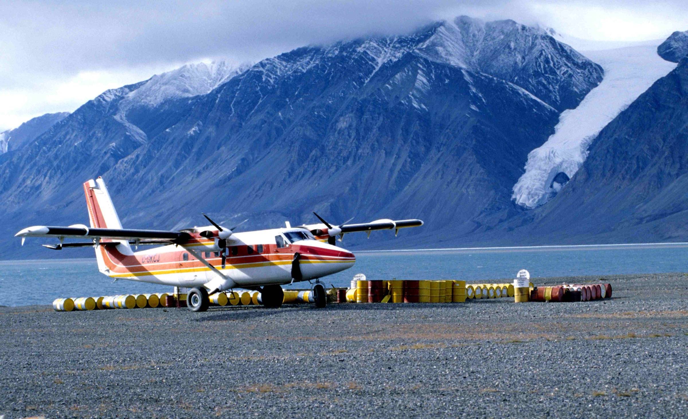
- Access is by chartered Twin Otter from Resolute Bay only. Kenn Borek Air operates the standard flights; group charter cost is commonly quoted in the C$60,000–70,000 range per round-trip leg and varies with fuel.
- Cape Sheridan, Cape Columbia and Fort Conger require additional charter movement beyond the standard warden-station legs; budget accordingly.
- Fort Conger is under a formal Parks Canada Restricted Activity Order: visitors may only enter the site accompanied by a Parks Canada staff escort, and the site is fragile. Do not enter without prior written authorisation.
- CFS Alert is closed to civilians; the Canadian Forces station on the Lincoln Sea coast cannot be used as a staging post for Cape Sheridan or Cape Columbia.
- Self-rescue is not realistic. Parks Canada-organised rescue may take a week or more, and weather may ground charter flights for days at a time.
- Polar bears, muskoxen and Arctic wolves are documented across the whole range; brief the warden on arrival.
- All archaeological and historical sites are protected by the Inuit Heritage Trust, by Parks Canada’s Cultural Resources programme and (for the heritage sites) by formal Restricted Activity Orders. Do not touch, move or collect anything.
- The Parks Canada Quttinirpaaq 2023 Management Plan formalises the protective regimes referenced in this article; consult it before travel.
1. Mount Oxford lower-flank walk (Gillman Glacier moraine)
Snapshot
Itinerary
Mount Oxford (2,210 m) is the third-highest peak in the British Empire Range after Barbeau Peak (2,616 m) and Mount Whisler (about 2,500 m). The summit was first reached on 1 May 1935 by A. W. Moore and Nukapinguaq during the Oxford University Ellesmere Land Expedition led by Gordon Noel Humphreys — the expedition that gave the British Empire Range its name. The 1935 approach ascended the Gillman Glacier from a basecamp on the southern flank; the lower moraine of that glacier remains the standard approach corridor for parties basing in the area today.
The walk described here is not the summit. The summit is a serious glaciated mountaineering objective in a remote setting — the Air Force Glacier line from Barbeau-area basecamps and the Gillman Glacier line from the south are the two documented options, both committing. The day-walk on the lower moraine is the closest the casual walker can come to the 1935 line. From a basecamp pitched on the lateral moraine of the lower Gillman Glacier (typically at around 500–700 m), the line climbs the moraine ridge north-east toward Mount Oxford, gaining steadily on loose blocks and consolidated ice-cored debris with intermittent firm tundra terraces. A sensible turnaround is at the first true high-ground vantage onto the upper Gillman Glacier basin and the south face of Mount Oxford — typically around five to nine kilometres from camp at an elevation in the order of 800 to 1,100 metres. The descent retraces the line.
The walk is included as a “candidate” — no formal Parks Canada document describes it as a day-walk objective. The line is reconstructed from the published 1935 expedition report and from the moraine geometry visible on NTS 1:50,000 sheet 340D and on the satellite imagery published in modern American Alpine Journal expedition reports.
Why it is essential
The Mount Oxford line is the historic introduction to the British Empire Range. It follows the only named first-ascent approach corridor in the range that pre-dates the second world war — a line walked by the Oxford University expedition that gave the range its modern name. The lower moraine gives a fair sample of the high-range surface: the loose lateral debris of an active outlet glacier, the visible bergschrund line on the southern face of the third-highest peak in eastern North America, and the standing view onto the Grant Ice Cap edge that defines the southern boundary of the range.
Equipment
Full mountaineering layered system, sturdy boots with good ankle support, trekking poles, bear spray, satellite phone, GPS with NTS 340D loaded, glacier-grade sunglasses, high-SPF sun protection, three litres of water capacity, headlamp despite 24-hour daylight. Helmet recommended for the upper moraine sections (rockfall is documented from the Mount Oxford south face). Crampons and an ice axe should be carried at the basecamp even if not used on the moraine walk itself — conditions on the lower glacier can change.
Hazards and notes
- Rockfall from the southern face of Mount Oxford is documented and unpredictable; do not stop in obvious fall-line positions.
- The lateral moraine is loose and ice-cored — sections can collapse under load.
- Polar bears are documented in the upper Tanquary drainage; brief the basecamp on bear protocol.
- Weather can deteriorate fast at moraine elevation; the line should be turned back at the first sign of incoming cloud.
- The line is reached only after a multi-day approach from the warden station and is not a day-walk from any park infrastructure.
- Crevasses on the lower Gillman Glacier itself rule out walking onto the glacier surface without rope and crevasse-rescue equipment; remain on the moraine.
- Cloud and visibility deterioration are common; carry GPS waypoints for return.
GPX / KML links
| Source | URL | Format / access | Reuse status |
|---|---|---|---|
| Parks Canada — Quttinirpaaq hiking | pc.gc.ca | Plain-text guidance | Parks Canada terms |
| NTS 1:50,000 sheet 340D | maps.canada.ca | National topographic map | Open Government Licence — Canada |
| AAC Publications — Many First Ascents Near Barbeau Peak | publications.americanalpineclub.org | Expedition report | American Alpine Club terms |
External links
- Wikipedia — Mount Oxford (Nunavut)
- Wikipedia — British Empire Range
- Wikipedia — Oxford University Ellesmere Land Expedition
2. Barbeau Peak basecamp area walks
Snapshot
Itinerary
Barbeau Peak (2,616 m, 81°54′N 75°02′W) is the highest mountain in Nunavut, the highest in eastern North America, and the highest point on the Canadian Shield (with the caveat that the actual geological substrate here is younger than the Shield proper). The first ascent was made on 7 June 1967 by Geoffrey Hattersley-Smith leading a Defence Research Board / Royal Air Force party with surveyor Keith Arnold in the summit party of five. The standard modern approach corridors are the Air Force Glacier from the south (out of Tanquary Fiord, with the warden-station drainage feeding directly toward the basecamp), and the upper Hare Fiord glaciers from the north. Both involve multi-day skiing or sledge travel from the warden station with a fly-in basecamp; the summit ascent itself is a moderate but committing glaciated route.
The walking days described here are not the summit. They are the basecamp rest-day and acclimatisation walks documented in the American Alpine Journal expedition reports — the walks that fit between the summit attempt and the descent. Two standard objectives recur in the published record:
- The southern Air Force Glacier moraine viewpoint. From a basecamp at around 1,100–1,300 m on the upper Air Force Glacier moraine, a moraine-ridge walk south-east leads to a high-ground vantage onto the Air Force Glacier toe and the Grant Ice Cap edge. Eight to twelve kilometres round trip; 200 to 400 metres of gain; maximum elevation in the order of 1,300 to 1,500 metres.
- The northern Hare Fiord upper cirques. From a basecamp at the head of one of the unnamed glaciers descending into the upper Hare Fiord, a series of short walks onto the surrounding moraine ridges gives the most direct standing view of the north face of Barbeau Peak — the side of the mountain that almost nobody sees. Walks here are typically six to ten kilometres round trip and 200 to 500 metres of gain depending on the chosen viewpoint.
Walking is on loose lateral moraine and ice-cored debris with intermittent firm tundra terraces. The lines are not on any published map as walking routes and should be reconstructed from the basecamp geometry on the day.
Why it is essential
This is the highest walking ground in the British Empire Range that the visitor can reach without committing to a summit attempt. The basecamp walks give a standing view onto the summit of Barbeau Peak — the highest point of Nunavut and eastern North America — without the glaciated commitment of a summit day. They are the natural rest-day objective for parties that have reached basecamp and need a non-summit option between weather windows. The northern Hare Fiord variant is the only realistic line for seeing the north face of Barbeau Peak from the ground.
Equipment
Full mountaineering layered system, sturdy boots, trekking poles, bear spray, satellite phone, GPS with NTS 340G loaded, glacier-grade sunglasses, high-SPF sun protection, three litres of water capacity, headlamp. Crampons and ice axe should be at basecamp even if not used on the moraine walks. Helmet recommended in the rockfall-prone sections.
Hazards and notes
- The lines are at altitude (1,200–1,500 m) with associated rapid weather change.
- Rockfall is documented from the Barbeau Peak faces; do not stop in obvious fall-line positions.
- The lateral moraine is loose and ice-cored.
- Polar bears are not common at this elevation but have been documented on the high glaciers; brief the basecamp on bear protocol.
- Crevasses on the upper Air Force and upper Hare Fiord glaciers rule out walking onto the glacier surface without rope and crevasse-rescue equipment; remain on the moraine.
- Self-rescue from this elevation is not realistic; Parks Canada-organised rescue may take a week or more.
- The line is reached only after a multi-day approach from the warden station and is not a day-walk from any park infrastructure.
GPX / KML links
| Source | URL | Format / access | Reuse status |
|---|---|---|---|
| AAC Publications — Many First Ascents Near Barbeau Peak | publications.americanalpineclub.org | Expedition report | American Alpine Club terms |
| AAJ — Barbeau Peak and Various Ascents | publications.americanalpineclub.org | Expedition report | American Alpine Club terms |
| NTS 1:50,000 sheets 340G and 340H | maps.canada.ca | National topographic maps | Open Government Licence — Canada |
External links
3. Fort Conger heritage walk (escorted)
Snapshot
Itinerary
Fort Conger is the most important single heritage site in Quttinirpaaq National Park. It sits on a raised coastal terrace at the head of Discovery Harbour on the south-west shore of Lady Franklin Bay, looking east across the bay to Greenland and the Kennedy Channel. Three distinct occupation layers are visible on the ground:
- The 1881–84 Greely Lady Franklin Bay Expedition base camp — Fort Conger itself was named after Senator Omar D. Conger and was the United States Army Signal Corps station for the First International Polar Year. The expedition wintered here twice; the retreat south from Conger to Cape Sabine in 1883 ended in the deaths of nineteen of the twenty-five expedition members.
- The 1899–1908 Peary North Pole expedition base — Robert Peary reused Fort Conger as the northern terminus of his Arctic logistics for his polar attempts. The 1900 Peary huts, built from material salvaged from the 1881 Greely structure, are still standing.
- The 1957 IGY Operation Hazen movements — the brief Defence Research Board reoccupation of the site as part of the International Geophysical Year.
The escorted walk is a slow circuit of the heritage terrace under Parks Canada staff supervision. The route covers the Greely main-building site, the three 1900 Peary huts, the documented graves and the foreshore features. Total ground distance is in the order of four to six kilometres at a slow walking pace with stops for interpretation; the standing-time component of the visit is much larger than the walking-time component. Maximum elevation on the heritage terrace is about thirty metres above sea level.
The site is under a formal Parks Canada Restricted Activity Order. Visitors may only enter accompanied by a Parks Canada staff escort, and that escort must be arranged with Parks Canada Iqaluit well in advance of travel. Independent walking on the site is not permitted under any circumstances.
Why it is essential
Fort Conger is the most historically loaded single piece of ground in the British Empire Range region — the only location in the park where three foundational expeditions (Greely 1881, Peary 1900, IGY 1957) are documented on the same surface. It is the only formal escorted heritage walk in Quttinirpaaq and the only Parks Canada walking objective in the park that is built around standing structures rather than landscape. For visitors with a serious historical interest in the Arctic, Fort Conger is the single most rewarding short walk in northern Ellesmere.
Equipment
Sturdy boots, layered clothing, wind- and waterproof shell, bear spray (the escort will carry this; the visitor should still have one), satellite phone, GPS, camera with spare batteries (the cold and the long visit drain batteries fast), sun protection, one to two litres of water capacity. No collecting kit, no metal detectors, no UAVs. The escort will brief on what may and may not be photographed.
Hazards and notes
- The Fort Conger Restricted Activity Order is the principal “hazard” in the bureaucratic sense — entry without authorisation is a federal offence under the Canada National Parks Act.
- Polar bears are routinely documented on the Discovery Harbour foreshore and in the Lady Franklin Bay sea ice; the escort will carry bear spray and a rifle.
- The standing 1900 Peary huts are structurally fragile; do not lean on, climb on or otherwise contact the structures.
- The graves on site are protected and must not be photographed without explicit permission.
- Charter flight movement to Fort Conger is an additional cost beyond the standard warden-station leg; budget accordingly.
- Weather may ground the charter for days at either end of the visit.
- The site is exposed; wind off Lady Franklin Bay can be severe even in mid-summer.
GPX / KML links
| Source | URL | Format / access | Reuse status |
|---|---|---|---|
| Parks Canada — Fort Conger National Historic Site | parks.canada.ca | Site description | Parks Canada terms; no GPX |
| Parks Canada — Quttinirpaaq Management Plan 2023 | parks.canada.ca | Management document (includes Fort Conger RAO) | Parks Canada terms |
| Canadian Register of Historic Places — Fort Conger | historicplaces.ca | Heritage listing | Open Government Licence — Canada |
External links
4. Cape Sheridan / Floeberg Beach historical walk
Snapshot
Itinerary
Cape Sheridan, on the Lincoln Sea coast at the north-east tip of Ellesmere Island, was Robert Peary’s 1908–09 winter base. The Roosevelt — Peary’s purpose-built ice-strengthened steamer — was deliberately frozen into the sea-ice off Floeberg Beach, the gravel foreshore just south-west of the cape proper, on 5 September 1908. The polar party that left from Cape Sheridan on 1 March 1909 made the contested attempt on the North Pole, returning to Floeberg Beach on 27 April 1909. The wintering camp itself was a substantial wooden structure on the gravel ridge above the beach, occupied through the polar night.
The cape sits roughly 20 kilometres east of CFS Alert, the Canadian Forces signals station on the Lincoln Sea coast. CFS Alert is closed to civilians and cannot be used as a staging post; access to Cape Sheridan requires a separate chartered Twin Otter movement from Resolute Bay or from one of the warden stations. The site is inside Quttinirpaaq National Park and falls under Parks Canada’s Cultural Resources protective regime; an escort by Parks Canada or by a qualified guide is strongly recommended and should be confirmed with Parks Canada Iqaluit at the planning stage.
The walking objective is a short, slow circuit of the Floeberg Beach foreshore and the gravel terrace above it where the Peary winter camp stood. Distance is in the order of four to eight kilometres depending on how far the visitor walks along the foreshore east toward the cape proper. The terrain is non-technical — gravel beach, raised marine terrace, intermittent sodden ground. Elevation gain is minimal. The walking time is much less than the standing-time component of the visit. The maximum elevation reached is about thirty metres on the raised terrace.
Why it is essential
Cape Sheridan / Floeberg Beach is the single most important Peary-era site on the Canadian Arctic coast. It is the wintering anchorage of the Roosevelt and the launch point of the 1909 polar attempt — the only site in Quttinirpaaq with a comparable documentary footprint to Fort Conger. For a visitor with a serious interest in the polar exploration history of the British Empire Range region, Cape Sheridan is the logical pair to Fort Conger: the southern winter base on Lady Franklin Bay and the northern winter base on the Lincoln Sea coast, both with standing physical evidence, both reachable only by chartered air.
Equipment
Sturdy boots, layered clothing, wind- and waterproof shell, bear spray, satellite phone, GPS with NTS 120 series loaded, camera with spare batteries, sun protection, one to two litres of water capacity. No collecting kit, no metal detectors, no UAVs without prior Parks Canada permit. Confirm photographic permissions with Parks Canada Iqaluit before travel.
Hazards and notes
- Polar bears are routinely documented on the Lincoln Sea coast and the Floeberg Beach foreshore is on the bear traffic line; carry bear spray and consider a rifle escort.
- Wind off the Lincoln Sea can be severe even in mid-summer; the site is fully exposed.
- The 1908–09 Peary camp footprint and any associated material are protected under the Canada National Parks Act; do not collect, move or touch anything.
- CFS Alert cannot be used as a staging post or as a refuge; do not approach the perimeter.
- Charter flight movement to Cape Sheridan is an additional cost beyond the standard warden-station leg; budget accordingly.
- Weather may ground the charter for days at either end of the visit.
- Polar pack-ice along the Floeberg Beach foreshore can be dangerously unstable; do not walk onto the sea ice.
GPX / KML links
| Source | URL | Format / access | Reuse status |
|---|---|---|---|
| Parks Canada — Quttinirpaaq Management Plan 2023 | parks.canada.ca | Management document | Parks Canada terms |
| Parks Canada — Quttinirpaaq | parks.canada.ca | Park site | Parks Canada terms |
| NTS 1:50,000 sheets in the 120 series | maps.canada.ca | National topographic maps | Open Government Licence — Canada |
External links
5. Cape Columbia approach walk
Snapshot
Itinerary
Cape Columbia, at 83°06′41″N 69°57′13″W, is the northernmost point of Canadian land. It sits about 769 kilometres from the geographic North Pole, on the Lincoln Sea coast of northern Ellesmere Island, west of Cape Aldrich and well west of Cape Sheridan. The cape gives its name to Cape Columbia as Robert Peary’s last solid-ground departure point for his 1909 polar attempt — the polar party left Cape Columbia on 1 March 1909, returned to Cape Columbia on 23 April 1909, and the cape is therefore the canonical “northernmost departure point” in Canadian polar history.
The walking objective is a short walk on the coastal flats from a Twin Otter landing site on the gravel terrace south of the cape, north onto the foreshore, and across the gravel ridge to the cape proper and the edge of the multi-year pack ice. The terrain is non-technical: gravel, intermittent sodden tundra, and the pressure-ridge edge where the foreshore meets the polar pack. Distance is in the order of four to eight kilometres depending on how far the visitor walks along the foreshore on either side of the cape; elevation gain is minimal; maximum elevation is in the order of fifty metres on the southern terrace.
The logistics are the actual difficulty. Cape Columbia is approximately 90 kilometres west of CFS Alert (which is closed to civilians) and even further from the nearest Parks Canada warden station. A Twin Otter charter from Resolute Bay to Cape Columbia is a single-purpose movement with no shared cost; the realistic price for a dedicated charter to Cape Columbia is well above the standard warden-station-leg figure. Expedition logistics operators occasionally combine Cape Columbia with North Pole expedition support flights, which can drop the per-party cost — but the option is not regular and must be arranged at the planning stage.
Why it is essential
Cape Columbia is the only walking objective in this article that is a geographic superlative — the northernmost point of Canadian land — and the only walking objective in northern Ellesmere that lets the visitor stand on solid Canadian ground 769 km from the North Pole. For a visitor for whom the “northernmost in Canada” frame matters, Cape Columbia is the only objective in the British Empire Range region that delivers it. It is also a Peary-era site (the 1909 polar party’s solid-ground departure point) and pairs naturally with Cape Sheridan as the second half of a polar-history visit on the Lincoln Sea coast.
Equipment
Full layered clothing system, wind- and waterproof shell, bear spray, satellite phone with confirmed coverage, GPS with NTS 120 series loaded, sturdy boots with good ankle support, camera with spare batteries, sun protection, one to two litres of water capacity. Rifle escort strongly recommended given the polar-bear traffic on the Lincoln Sea coast. No collecting kit, no UAVs without prior Parks Canada permit.
Hazards and notes
- Polar bears are routinely documented on the Lincoln Sea coast at Cape Columbia; the cape sits directly on the polar bear traffic corridor and an unescorted visit is not advised.
- The pack-ice edge is dangerously unstable; do not walk onto sea ice.
- Wind off the polar pack can be severe; the site is fully exposed.
- The charter is single-purpose and expensive; weather may extend the trip by days.
- CFS Alert cannot be used as a staging post or as a refuge; do not approach the perimeter.
- Self-rescue is not realistic; Parks Canada-organised rescue may take more than a week.
- The cape is inside Quttinirpaaq National Park; the protective regime that covers archaeological sites and wildlife applies throughout the visit.
- Magnetic compasses are unusable at this latitude; sun-compass technique is the standard backup with GPS as primary.
GPX / KML links
| Source | URL | Format / access | Reuse status |
|---|---|---|---|
| Parks Canada — Quttinirpaaq | parks.canada.ca | Park site | Parks Canada terms |
| NTS 1:50,000 sheets in the 120 series | maps.canada.ca | National topographic maps | Open Government Licence — Canada |
| Wikipedia — Cape Columbia (coordinate source) | en.wikipedia.org | Reference | CC BY-SA |
External links
Missing data and follow-up work
- No published GPX tracks exist for any walk in this article. None of the five lines is on a formal “trail” in the conventional sense. The Mount Oxford lower-flank walk and the Barbeau Peak basecamp walks are reconstructed from American Alpine Journal expedition reports and from the moraine geometry on NTS 1:50,000 sheets. The Fort Conger walk runs under Parks Canada staff escort and the line is not published. The Cape Sheridan and Cape Columbia walks are short coastal-foreshore lines defined by the landing site geometry on the day.
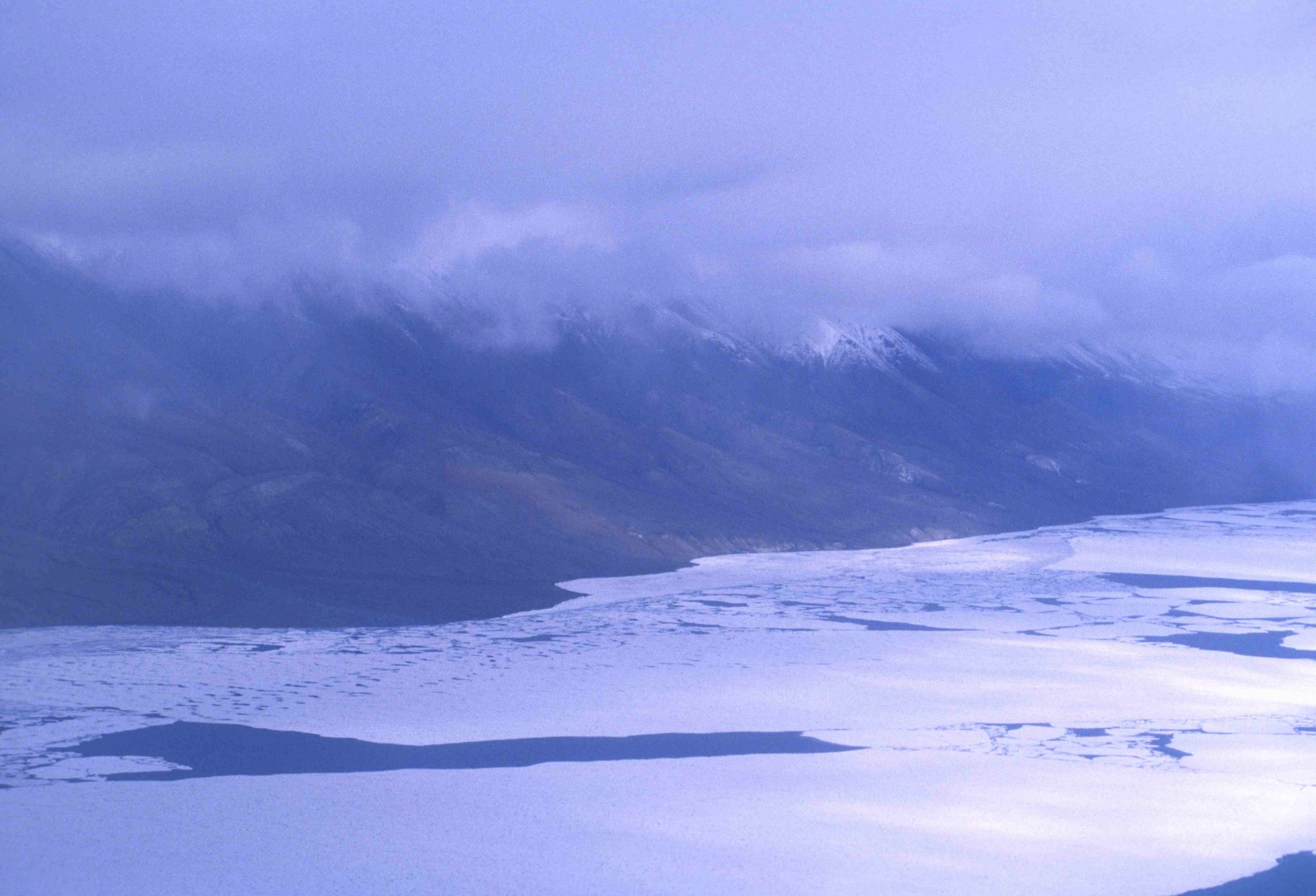
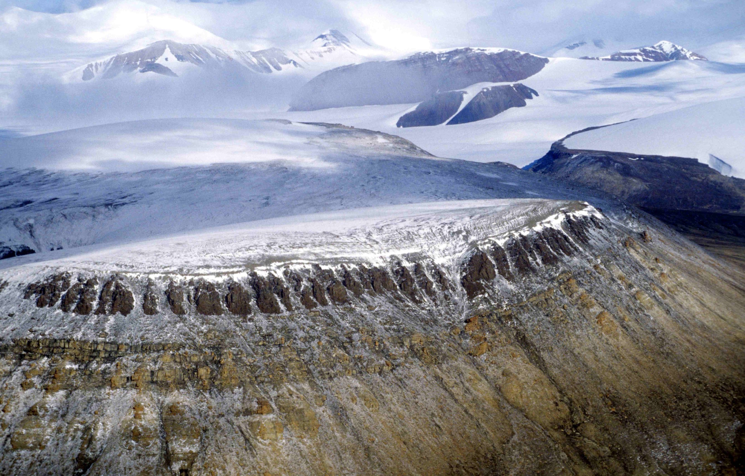
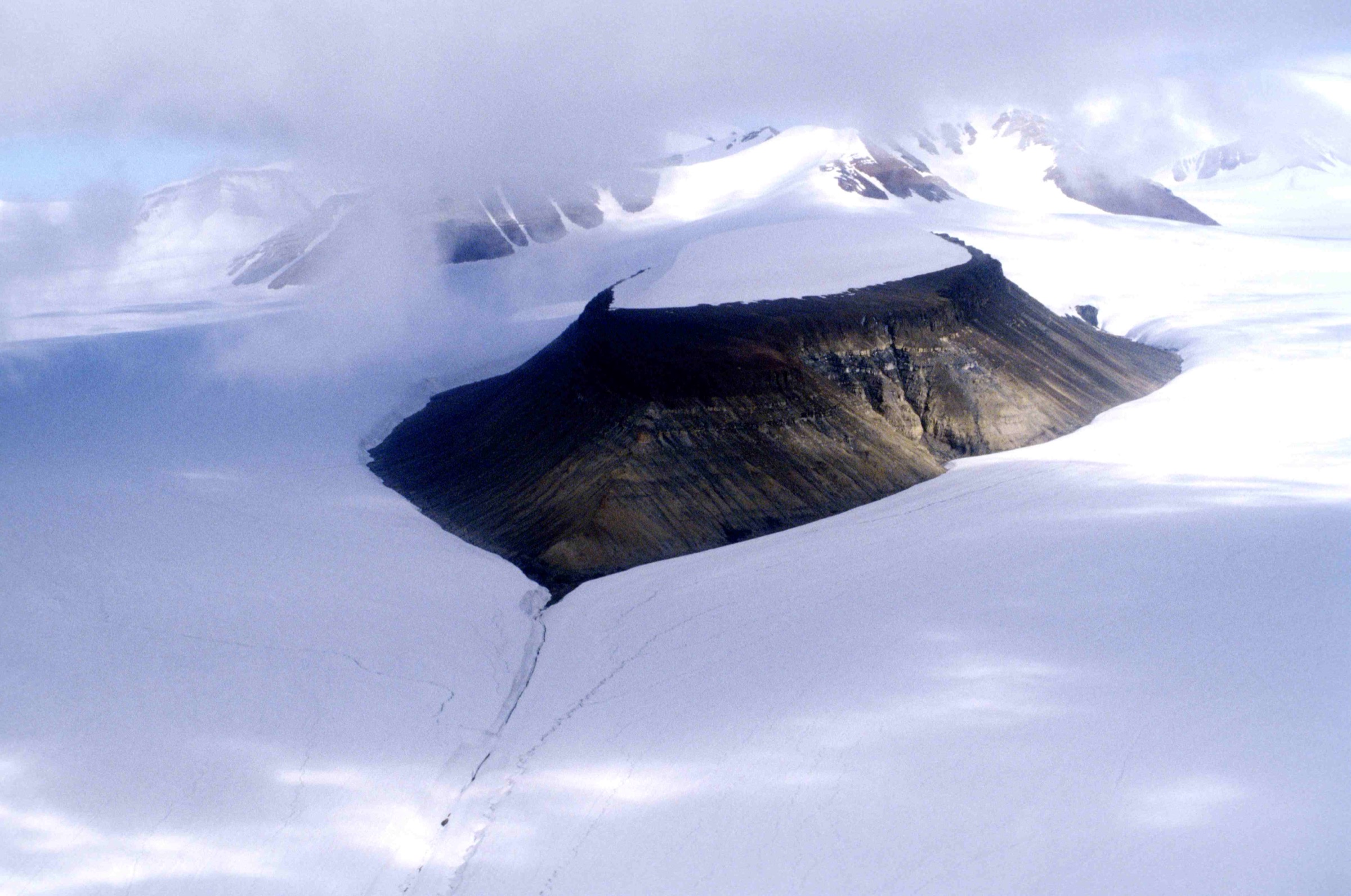
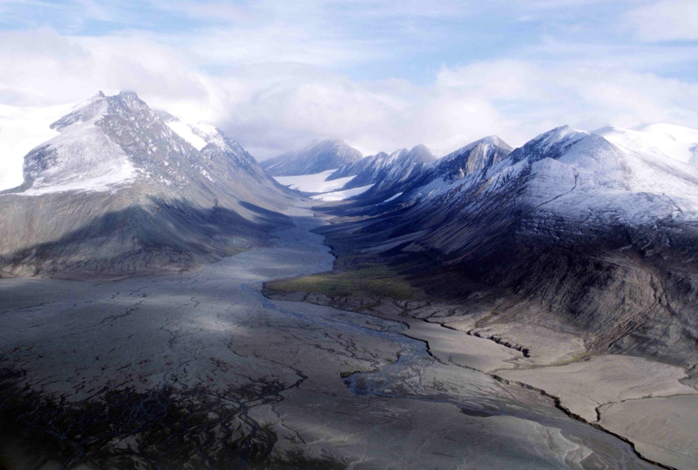
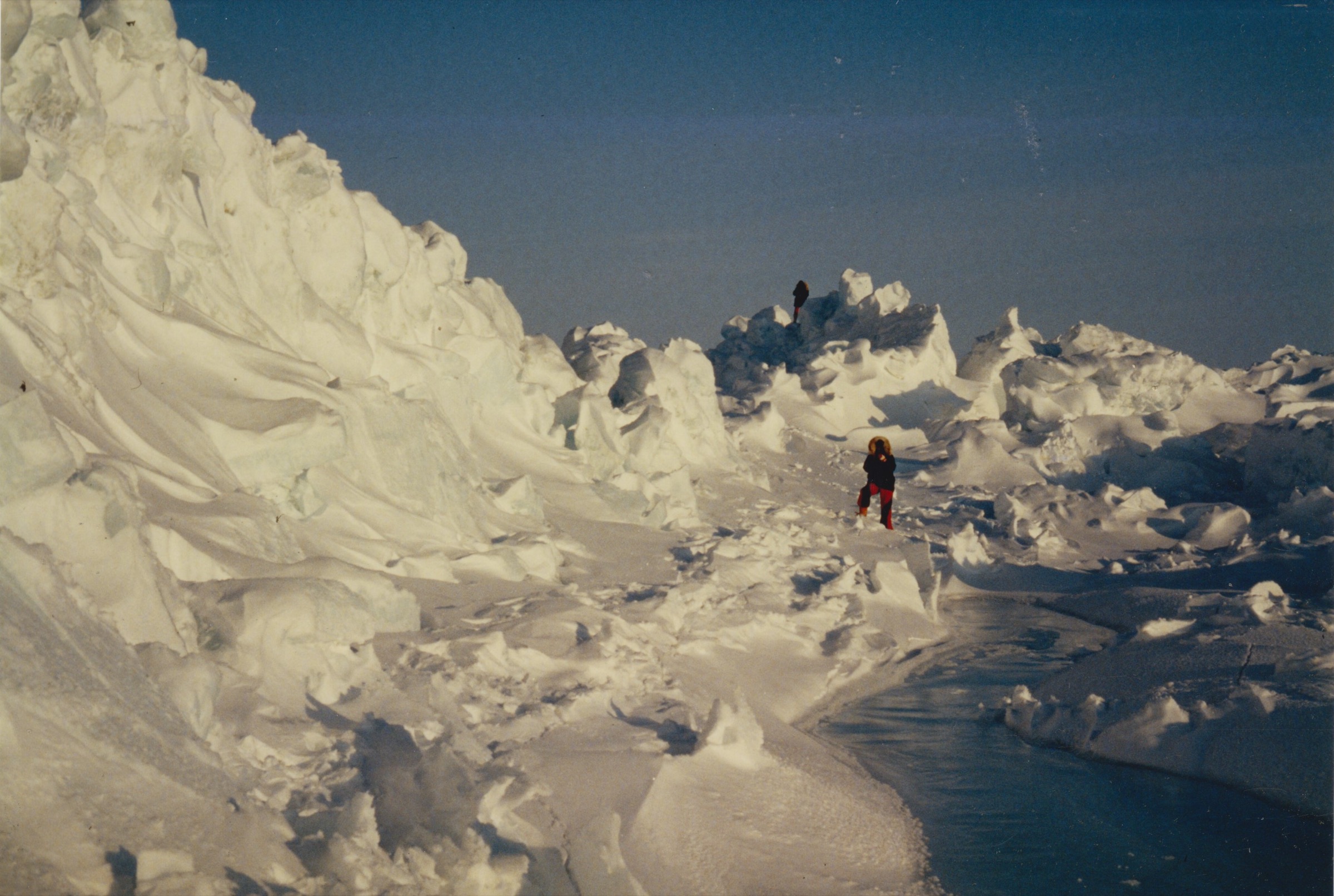
- Landmark-specific high-resolution photographs of Mount Oxford, the Barbeau Peak basecamps, the Fort Conger heritage site (in modern condition), the Floeberg Beach foreshore and the Cape Columbia headland do not exist on Wikimedia Commons under reusable licences. The figures used in this article are taken from the Ansgar Walk 1997 Ellesmere series and are illustrative of the regional character rather than of the specific features named. Figcaptions are honest about the illustrative use.
- Fort Conger Restricted Activity Order procedure — the practical procedure for arranging Parks Canada escort to the site should be confirmed directly with Parks Canada Iqaluit at the planning stage; the published documentation establishes the regime but does not give a fixed application procedure.
- Cape Sheridan and Cape Columbia coordinates — the figures used here are taken from current Wikipedia infobox data and from the standard polar exploration record. The Cape Columbia coordinate (83°06′41″N 69°57′13″W) is the canonical figure for the cape proper.
- Charter flight costs — the C$60,000–70,000 round-trip figure is a 2024 ballpark for the standard Resolute–warden-station leg. Cape Sheridan and Cape Columbia charters are single-purpose movements and cost substantially more. Confirm current rates with Kenn Borek Air at the planning stage.
- First-ascent attributions — Barbeau Peak was first climbed on 7 June 1967 by Geoffrey Hattersley-Smith leading a Defence Research Board / Royal Air Force party (Keith Arnold among the summit party of five). Mount Oxford was first climbed on 1 May 1935 by A. W. Moore and Nukapinguaq on the Oxford University Ellesmere Land Expedition under Gordon Noel Humphreys. The “Patterson, Boucher” attribution that appears in some popular guidebooks for Barbeau Peak is not supported by the published record.
External links
| Source | URL |
|---|---|
| Parks Canada — Quttinirpaaq National Park | parks.canada.ca |
| Parks Canada — Quttinirpaaq hiking | pc.gc.ca |
| Parks Canada — Fort Conger National Historic Site | parks.canada.ca |
| Parks Canada — Quttinirpaaq Management Plan 2023 | parks.canada.ca |
| Canadian Register of Historic Places — Fort Conger | historicplaces.ca |
| Wikipedia — British Empire Range | en.wikipedia.org |
| Wikipedia — Barbeau Peak | en.wikipedia.org |
| Wikipedia — Mount Oxford (Nunavut) | en.wikipedia.org |
| Wikipedia — Oxford University Ellesmere Land Expedition | en.wikipedia.org |
| Wikipedia — Geoffrey Hattersley-Smith | en.wikipedia.org |
| Wikipedia — Fort Conger | en.wikipedia.org |
| Wikipedia — Lady Franklin Bay Expedition | en.wikipedia.org |
| Wikipedia — Cape Sheridan | en.wikipedia.org |
| Wikipedia — Cape Columbia | en.wikipedia.org |
| Wikipedia — Robert Peary | en.wikipedia.org |
| Wikipedia — SS Roosevelt (1905) | en.wikipedia.org |
| Wikipedia — Quttinirpaaq National Park | en.wikipedia.org |
| AAC Publications — Many First Ascents Near Barbeau Peak | publications.americanalpineclub.org |
| AAJ — Barbeau Peak and Various Ascents | publications.americanalpineclub.org |
| Inuit Heritage Trust | ihti.ca |
| Polar Continental Shelf Program | nrcan.canada.ca |
| Kenn Borek Air | borekair.com |