Regional overview
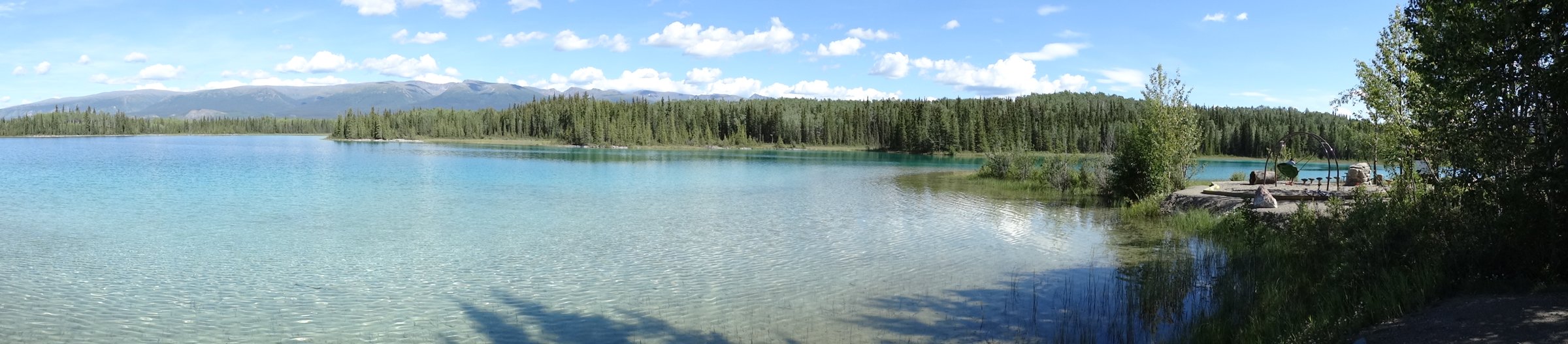
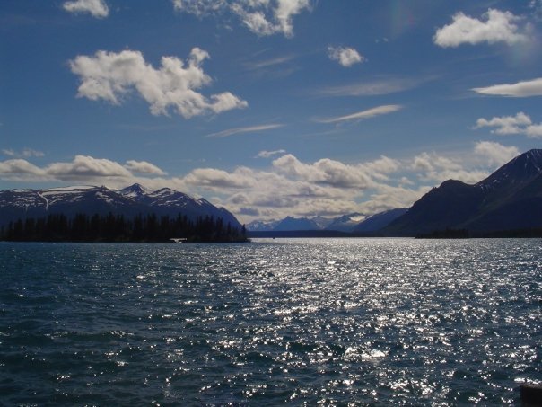
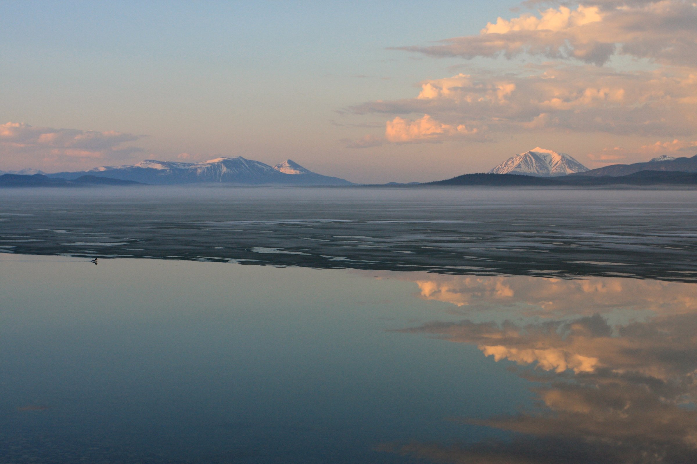
The Atlin / Tagish Highlands sit between the southern Yukon lakes, Atlin Lake, Tagish Lake, and the inland edge of the Coast Mountains. Hiking here is a mixture of short steep summit trails, old mining and access roads, open alpine ridges, lake viewpoints, volcanic terrain, and remote boat- or floatplane-accessed routes.
Atlin, Carcross, Tagish, and the South Klondike / Atlin road corridors are the main access points. Several routes cross or approach Carcross/Tagish First Nation Category A Settlement Lands or Taku River Tlingit culturally significant areas; published land notes should be respected and local guidance checked before publication or field use.
The normal season is late June to September, with some lower south-facing routes possible earlier. Snow can linger on shaded ridges, and weather can change quickly. Bears, Dall sheep, caribou, steep scree, rough 4x4 roads, and limited phone coverage are recurring issues.
Selection rationale
The five hikes cover the area’s key walking characters: Atlin’s signature Monarch Mountain viewpoint, Ruby Mountain’s volcanic summit, a remote Llewellyn Glacier-view route, Montana Mountain’s broad alpine plateau, and the historic Sam McGee mining trail above Windy Arm.
Summary table
| # | Hike | Country | Route type | Distance | Gain | Max elevation | Difficulty |
|---|---|---|---|---|---|---|---|
| 1 | Monarch Mountain (A Xeegi Deiyi Shaa) | Canada | Out-and-back | 7 km | 700 m | Moderate | |
| 2 | Ruby Mountain | Canada | Out-and-back | 5 km | 504 m | Moderate | |
| 3 | Mount Adams Trail | Canada | Out-and-back | 7 km | 196 m | Easy | |
| 4 | Montana Mountain | Canada | Out-and-back / ridge walk | 15 km | 853 m | Moderate | |
| 5 | Sam McGee Trail | Canada | Out-and-back | 9 km | 618 m | Moderate |
1. Monarch Mountain (A Xeegi Deiyi Shaa)

Snapshot
Itinerary
The trail climbs steeply from the Warm Bay Road side through forest and open slopes to a high viewpoint above Atlin Lake. The main outlook takes in Atlin, Atlin Lake, Atlin Mountain, Teresa Island, and surrounding peaks before returning by the ascent route.
Why it is essential
Monarch Mountain is the signature short summit hike near Atlin and one of the most direct ways to see the lake-and-mountain setting of the Atlin Highlands.
Equipment
- Mountain hiking equipment: sturdy footwear, waterproof and warm layers, water, food, sun protection, map/GPS, and headtorch.
- Bear spray and trekking poles are recommended.
Hazards and notes
The route lies within A Xeegi Deiyi Conservancy, a culturally significant and spiritual area for the Taku River Tlingit people. Stay on established paths and check current local guidance. Steep sections can be slippery in rain or lingering snow.
GPX / KML links
| Source | URL | Format / access | Reuse status |
|---|---|---|---|
| Yukon Hiking GPX — Monarch Mountain | yukonhiking.ca | GPX | Yukon Hiking terms not fully evaluated; route file found, direct reuse unresolved |
| Yukon Hiking route page | yukonhiking.ca | Source route page | Website terms not fully evaluated; route and stats checked |
External links
2. Ruby Mountain
Snapshot
Itinerary
The route follows an old road into an open mountain valley, then leaves the road to climb Ruby Mountain’s north-facing ridge. Vegetated slopes and talus lead to a rocky summit with views across Surprise Lake, Atlin Lake, Mount Leonard, Mount Barham, and the surrounding mineral-exploration country.
Why it is essential
Ruby Mountain represents the Atlin volcanic landscape in a compact summit hike. The red tephra slopes and broad lake views make it distinct from the forest-and-ridge routes nearer Carcross.
Equipment
- Mountain hiking equipment.
- Bear spray, navigation backup, and trekking poles are recommended.
- Avoid the looser rock where possible and use care near the summit exposure.
Hazards and notes
Yukon Hiking notes rocky sections and some exposure near the top. Wildlife including Dall sheep and caribou may be present; give animals a wide berth. Road conditions beyond Surprise Lake should be checked locally.
GPX / KML links
| Source | URL | Format / access | Reuse status |
|---|---|---|---|
| Yukon Hiking GPX — Ruby Mountain | yukonhiking.ca | GPX | Yukon Hiking terms not fully evaluated; route file found, direct reuse unresolved |
| Yukon Hiking route page | yukonhiking.ca | Source route page | Website terms not fully evaluated; route and stats checked |
External links
3. Mount Adams Trail
Snapshot
Itinerary
The trail explores the southern Atlin Lake backcountry, passing through balsam fir forest, small-lake viewpoints, a turquoise creek, and glacial valley terrain to a view of Llewellyn Glacier. The walking route is not technically difficult, but reaching the trailhead requires remote lake or aircraft logistics.
Why it is essential
This is the clearest documented day route to a major Atlin-area glacier view without committing to the technical Atlin-Juneau Icefield traverse.
Equipment
- Mountain hiking equipment plus remote-access safety gear.
- Satellite communicator, spare warm layers, waterproof layers, bear deterrent, and emergency shelter are recommended.
- Carry boating or aircraft-access safety equipment as appropriate.
Hazards and notes
Access is the main seriousness factor. Atlin Lake is large, cold, and exposed to wind. The route is maintained by BC Parks according to Yukon Hiking, but current condition and access arrangements need local confirmation.
GPX / KML links
| Source | URL | Format / access | Reuse status |
|---|---|---|---|
| Yukon Hiking GPX — Mount Adams | yukonhiking.ca | GPX | Yukon Hiking terms not fully evaluated; route file found, direct reuse unresolved |
| Yukon Hiking route page | yukonhiking.ca | Source route page | Website terms not fully evaluated; route and stats checked |
External links
4. Montana Mountain
Snapshot
Itinerary
The hike uses the Montana Mountain access road and open alpine terrain to reach the Montana plateau and the highest point on the massif. Most of the route is above treeline once the approach is gained, with wide views over Bennett Lake, Windy Arm, Carcross, and surrounding ranges.
Why it is essential
Montana Mountain is one of the defining high walking areas above Carcross and gives a broad alpine-plateau contrast to the steeper Atlin summit hikes.
Equipment
- Mountain hiking equipment.
- Navigation backup, bear spray, warm layers, and trekking poles are recommended.
- A vehicle with some clearance may be needed depending on road condition.
Hazards and notes
Yukon Hiking notes that the hike falls within Category A Settlement Lands of the Carcross/Tagish First Nation; respect applicable rules and land. Road washouts and mining-road traffic can affect access.
GPX / KML links
| Source | URL | Format / access | Reuse status |
|---|---|---|---|
| Yukon Hiking GPX — Montana Mountain | yukonhiking.ca | GPX | Yukon Hiking terms not fully evaluated; route file found, direct reuse unresolved |
| Yukon Hiking route page | yukonhiking.ca | Source route page | Website terms not fully evaluated; route and stats checked |
External links
5. Sam McGee Trail
Snapshot
Itinerary
The route follows the historic trail into the alpine below Montana Mountain, originally built to service Sam McGee’s 1905 silver-mining tramway. The route passes deciduous forest, mine and tramway remnants, and high viewpoints over Windy Arm of Tagish Lake and surrounding mountains.
Why it is essential
Sam McGee Trail adds the region’s mining history to the hiking selection while still reaching alpine viewpoints. It is the most culturally and historically distinct route in the Atlin / Tagish set.
Equipment
- Mountain hiking equipment.
- Bear spray, water, navigation backup, and warm layers are recommended.
Hazards and notes
Yukon Hiking notes that this route falls within Category A Settlement Lands of the Carcross/Tagish First Nation; respect applicable rules and land. Old mining structures and artifacts should not be disturbed. The route can be extended onto surrounding ridges only with appropriate navigation and conditions.
GPX / KML links
| Source | URL | Format / access | Reuse status |
|---|---|---|---|
| Yukon Hiking GPX — Sam McGee | yukonhiking.ca | GPX | Yukon Hiking terms not fully evaluated; route file found, direct reuse unresolved |
| Yukon Hiking route page | yukonhiking.ca | Source route page | Website terms not fully evaluated; route and stats checked |