Regional overview
The Caledonia Highlands are the rolling upland block of southeastern New Brunswick that lies between the Saint John River valley, the Petitcodiac estuary, and the long fog-bound cliffline of the Bay of Fundy. Geologically they form part of the Maritime Acadian Highlands, a worn-down Appalachian massif of Precambrian and early Palaeozoic basement rocks overlain by Carboniferous sandstones, cut by deep ravines where short steep rivers — the Little Salmon, the Big Salmon, Crooked Creek, the Pollett, and the upper Kennebecasis — race off the Fundy escarpment. Elevations are modest by Appalachian standards, with the highest point in Albert County (Hayward Pinnacle, 365 m) and a broad rolling plateau in the 250-350 m band, but local relief is sharp where the rivers cut to tidewater, and several of the gorges drop over 200 m in well under 2 km of horizontal distance.
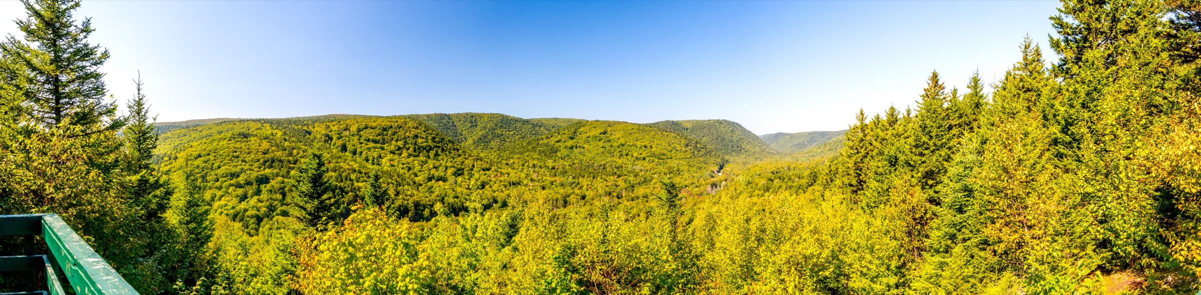
The catalogue here treats the Caledonia Highlands as the country outside Fundy National Park. Fundy NP sits geographically inside the same upland and is catalogued separately in the sister Fundy Highlands article; the Fundy Footpath short day-segments along the coast corridor likewise belong to that piece. What remains for this article is a wide arc of land bounded loosely by Sussex to the north, Hopewell Hill and Riverside-Albert to the east, the Saint John River to the west, and the Fundy escarpment to the south. Within that arc, the principal hiking centres are the Fundy Trail Provincial Park (Walton Glen Gorge), the Caledonia Gorge Protected Natural Area near Riverside-Albert (Crooked Creek and the surrounding upland forest), Hopewell Rocks Provincial Park at Hopewell Cape, the Dobson Trail corridor between Riverview and Fundy NP, and the lower hills around Sussex.
Best conditions run from late June to early October. May and early June are dominated by black-fly and mosquito pressure together with mud on the trail floor, and snow can linger in the gorges into mid-May. Mid-July through September is reliably walkable, with September and early October giving the strongest combination of dry trail, low insect pressure, and Acadian-forest autumn colour. Hazards typical of the region include high black-bear density (food storage matters even on day walks), occasional moose encounters in the Dobson corridor, persistent tick pressure with confirmed Lyme disease risk across southern New Brunswick, and the technical descent into Walton Glen Gorge — where fixed ropes and steep dirt steps drop into the canyon floor — which should not be attempted in wet conditions. Mobile coverage is patchy across the inland highlands and absent in the deeper gorges.
Selection rationale
The five entries combine the canonical Caledonia Highlands deep-gorge hike (Walton Glen Gorge to the Eye of the Needle), the classic protected-area gorge look-off (Crooked Creek in the Caledonia Gorge PNA), the highest summit in Albert County and the prime objective on the Dobson Trail (Hayward Pinnacle), an easy and accessible riverine introduction to the Dobson Trail corridor (Mill Creek at Riverview), and the world-famous Bay of Fundy tidal landscape at Hopewell Rocks. They cover gorge, summit, look-off, forest river, and cliff-top tidal terrain, and spread across the Fundy Trail Parkway end, the Caledonia Gorge PNA, the Dobson Trail north-south spine, and the Hopewell shoreline. None falls inside Fundy National Park and none uses the Fundy Footpath coastal corridor.
Summary table
| # | Hike | Country | Route type | Distance | Gain | Max elevation | Difficulty |
|---|---|---|---|---|---|---|---|
| 1 | Walton Glen Gorge to the Eye of the Needle | Canada | Out-and-back | 5 km | 245 m | 290 m | Hard |
| 2 | Crooked Creek Look-off (Caledonia Gorge PNA) | Canada | Out-and-back | 4.5 km | 140 m | 240 m | Moderate |
| 3 | Hayward Pinnacle from Elgin | Canada | Out-and-back | 4.2 km | 230 m | 365 m | Moderate |
| 4 | Dobson Trail — Mill Creek loop from Riverview | Canada | Loop | 4.5 km | 90 m | 110 m | Easy |
| 5 | Hopewell Rocks cliff-top and ocean-floor circuit | Canada | Loop | 3.5 km | 60 m | 50 m | Easy |
1. Walton Glen Gorge to the Eye of the Needle
Snapshot
Itinerary
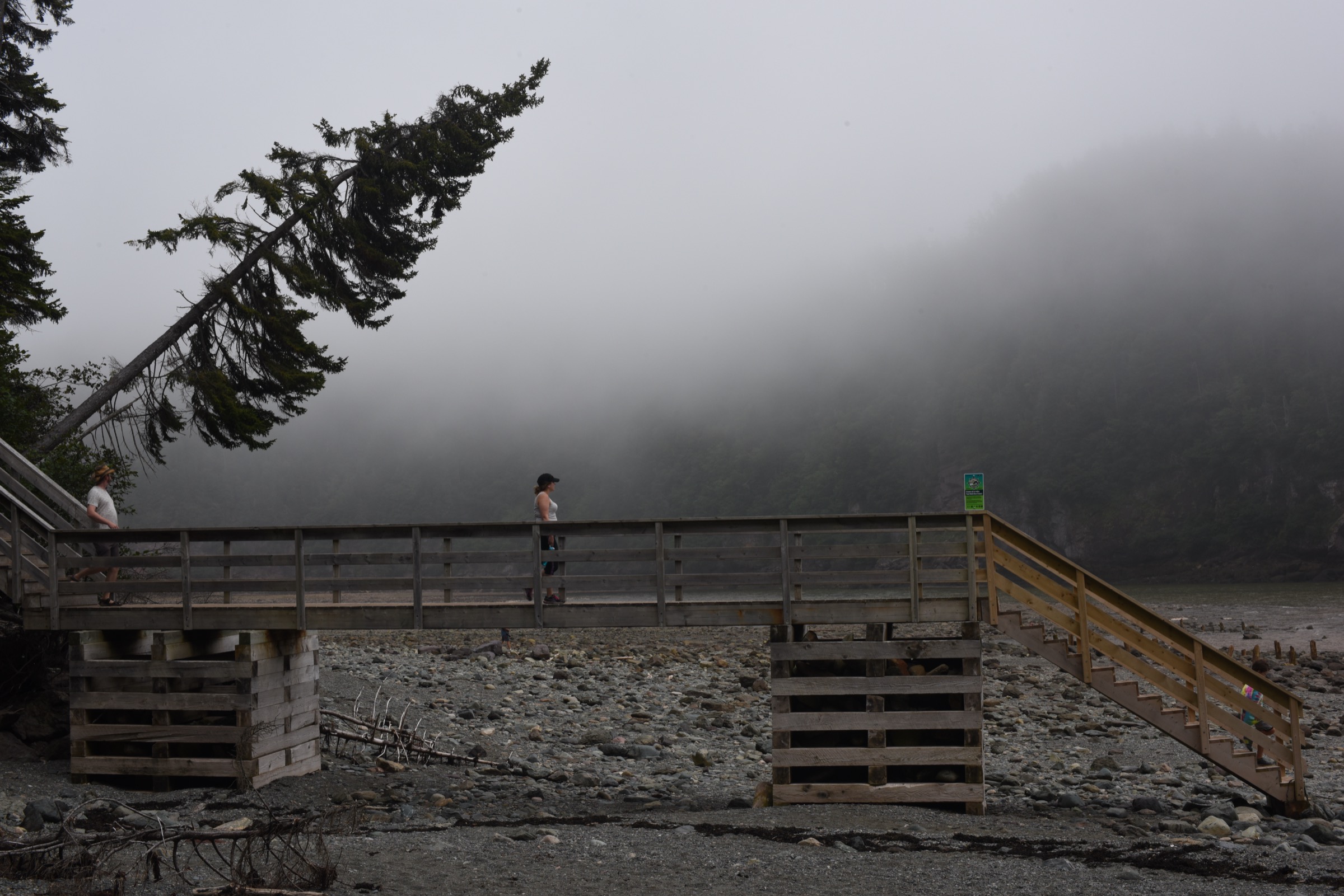
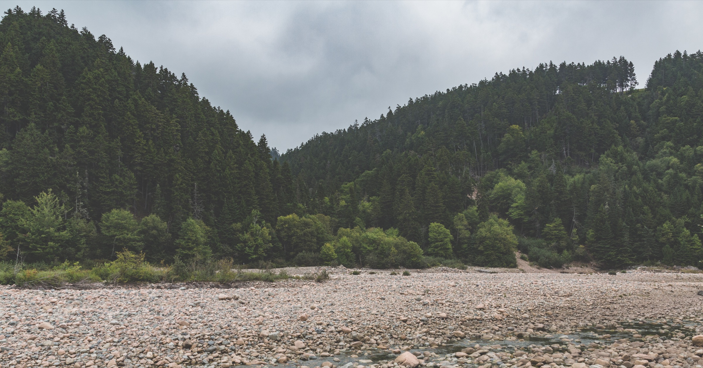
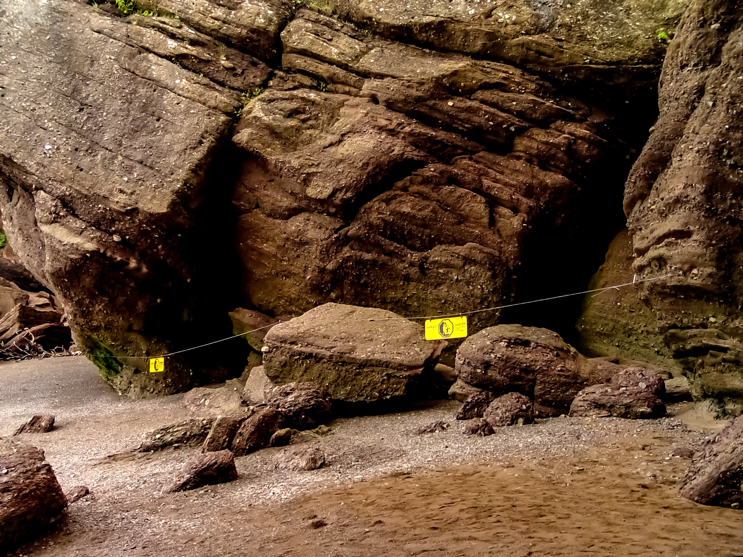
The route begins at the small Walton Glen Gorge parking pull-off on the Fundy Trail Parkway. A short signposted path leads through Acadian spruce-fir forest to the official Walton Glen Gorge Lookout, a railed platform on the rim that gives the classic view across the canyon to Walton Glen Falls, a 42-metre horsetail dropping from the opposite cliff. From the lookout an unofficial but well-trodden route leaves Fundy Trail Provincial Park land and descends into the Little Salmon River Protected Natural Area on the gorge floor. The descent is steep and direct, with fixed ropes on slick dirt steps and short ladders on the rockiest pitches, losing about 180 metres in roughly 600 horizontal metres. Once on the canyon floor the route follows Walton Glen Brook downstream over boulders and through pools to the Eye of the Needle, a narrow notch three metres wide and around thirty metres high where Walton Glen Brook forces through into the Little Salmon River. The return reverses the gorge floor and reclimbs the rope-and-ladder section to the rim.
Why it is essential
Walton Glen Gorge is the canonical Caledonia Highlands deep-gorge hike and the one route in the region that delivers a true inner-canyon experience. The combination of the rim look-off, a major waterfall, the rope-and-ladder descent, and the slot at the Eye of the Needle has no equivalent elsewhere in southern New Brunswick. The local nickname — the Grand Canyon of New Brunswick — is overused but in this case justified by the sheer-walled scale of the gorge.
Equipment
Sturdy boots with strong grip, gloves for the fixed ropes, a helmet for the lower scrambling sections (loose material from above), full waterproofs, plenty of water, food, a headtorch, navigation backup, bear-aware food storage, and tick protection. Trekking poles help on the rim approach but become a hindrance on the rope descent.
Hazards and notes
The descent into the gorge leaves Fundy Trail Provincial Park land and is undertaken at the walker’s own risk. Fixed ropes are informal and not professionally maintained. The dirt steps are dangerously slippery when wet and after rain the brook can rise quickly, complicating the river-bed walk to the Eye of the Needle. Black bear and moose are present; tick checks afterwards are essential. The Fundy Trail Parkway gate operates seasonal hours and closes overnight, so the descent must be timed to allow a return before the gate closes.
GPX / route file
| Source | URL |
|---|---|
| AllTrails: Eye of the Needle | alltrails.com |
| AllTrails: Walton Glen Gorge Viewpoint and Waterfall Long Route | alltrails.com |
External links
- Hiking NB — Walton Glen Gorge Trail
- Fundy Trail Provincial Park (NB Parks)
- Waterfalls of New Brunswick — Eye of the Needle
2. Crooked Creek Look-off (Caledonia Gorge PNA)
Snapshot
Itinerary
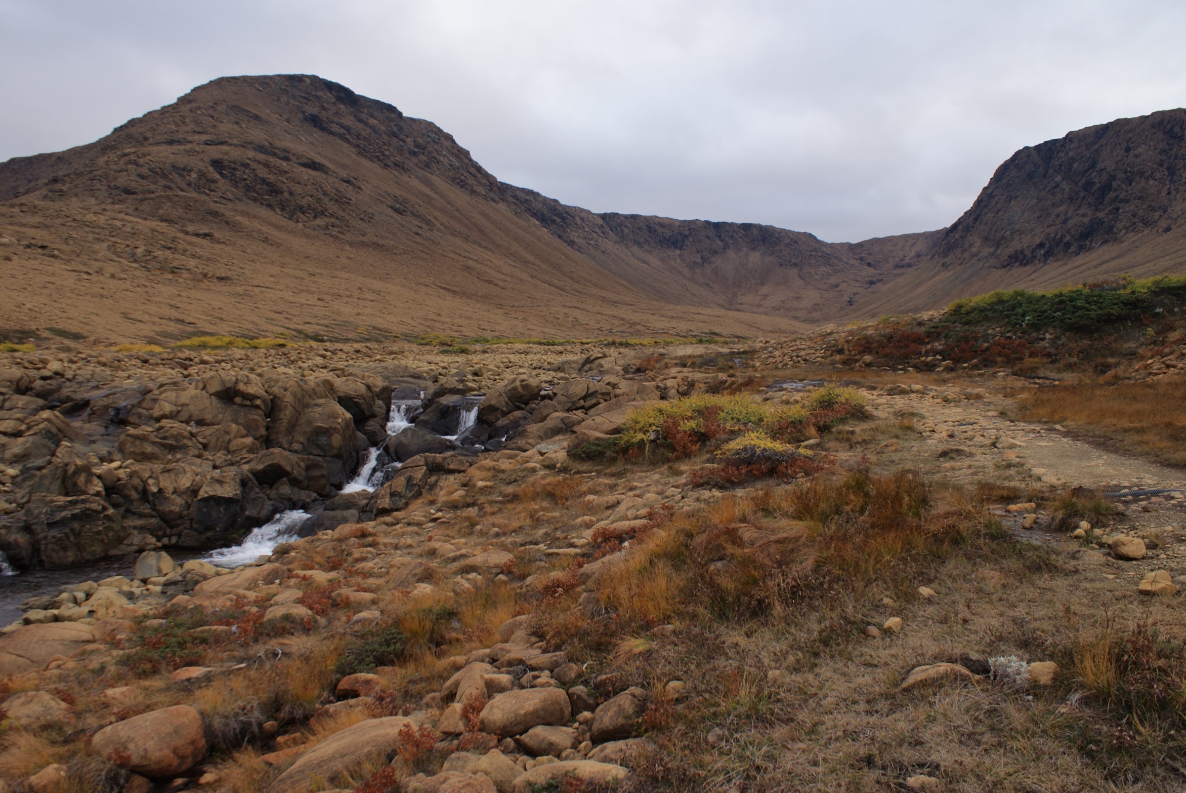
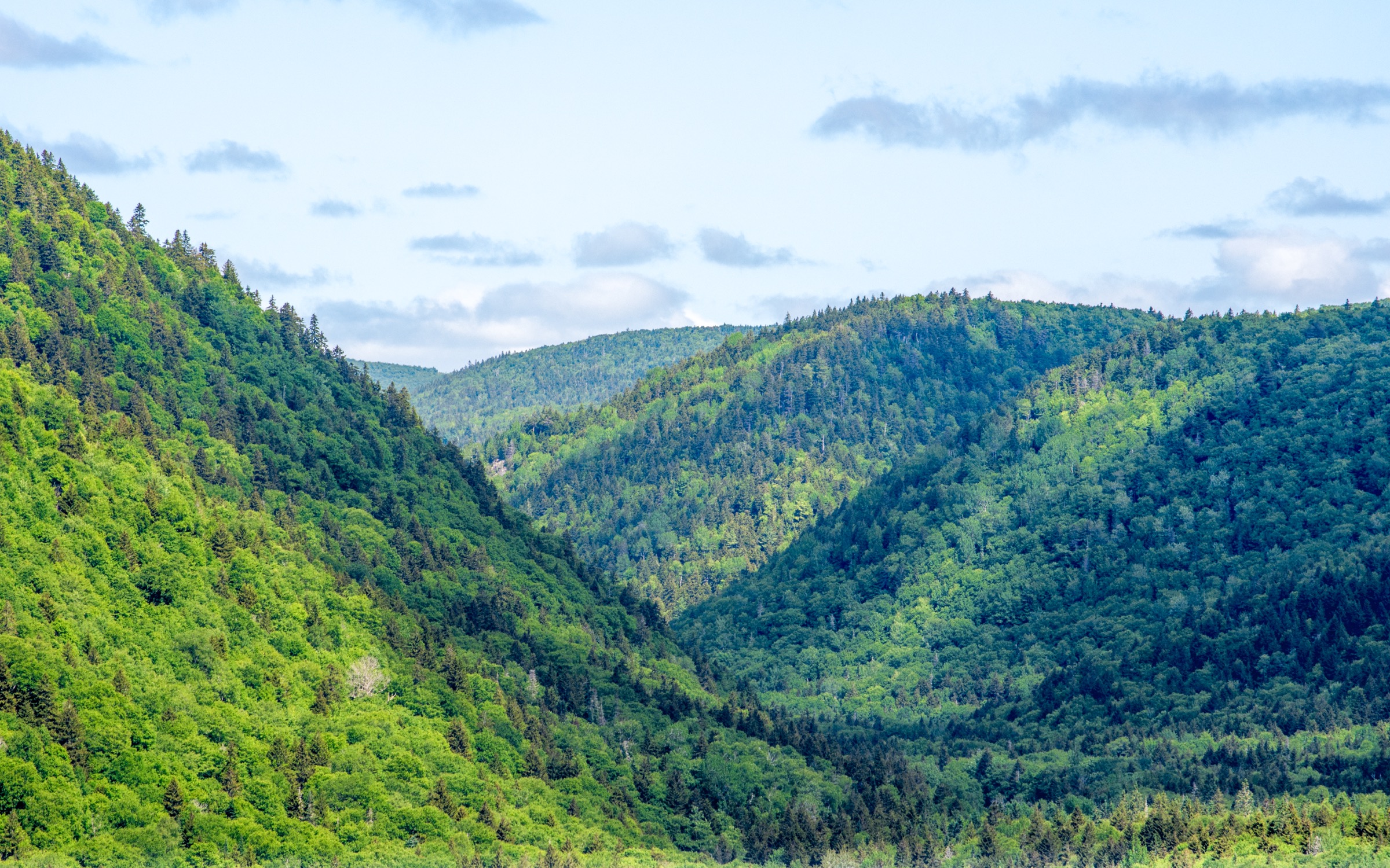
The trail leaves Route 114 on the western side of Riverside-Albert and climbs gently through mixed Acadian hardwood forest of sugar maple, yellow birch, ash, and beech, characteristic of the Central Uplands ecoregion that the Caledonia Gorge Protected Natural Area represents. After roughly 1.5 km the path reaches a junction; the right-hand spur drops steeply to the Crooked Creek Look-off, a railed wooden platform built out over the gorge edge with a long view down the deep valley to the falls and onwards towards the Shepody marshes. A short continuation on the main trail reaches the head of Crooked Creek Falls. The return reverses the same line; longer loop variants connect with old logging tracks higher on the plateau for a 9-10 km circuit.
Why it is essential
The Crooked Creek Look-off is recognised as an Amazing Place within the UNESCO Fundy Biosphere Reserve and is the canonical look-off hike of the Caledonia Gorge Protected Natural Area, the smallest but most accessible of the inland highland PNAs. The walk is the cleanest sample of the inland Caledonia Highlands forest available without leaving Albert County, and the rim platform gives the only easily reached upper view down a major south-flowing Fundy gorge that is not inside Fundy National Park.
Equipment
Standard hiking equipment: trail shoes or light boots, waterproof shell, sun protection, water, food, and full tick protection. A bear-aware approach to food is standard practice in Albert County. Black-fly and mosquito pressure is heavy from late May to early July.
Hazards and notes
The lookoff platform is railed but the unguarded gorge rim is close. Footing on the descent to the platform is rooty and slippery when wet. Black bear and moose are present in the surrounding PNA. Ticks are widespread; Lyme disease is a confirmed risk in southern New Brunswick and full tick protection is essential. Stay on marked tracks: the PNA is a conservation reserve under the Protected Natural Areas Act and off-trail travel disturbs sensitive forest understorey.
GPX / route file
| Source | URL |
|---|---|
| AllTrails: Crooked Creek Trail | alltrails.com |
| Trailforks: Crooked Creek Loop Trail | trailforks.com |
External links
- Fundy Biosphere Reserve — Crooked Creek Look-Off
- Connecting Albert County — Discovering Caledonia Gorge
- Hiking NB — Crooked Creek Falls Trail
3. Hayward Pinnacle from Elgin
Snapshot
Itinerary
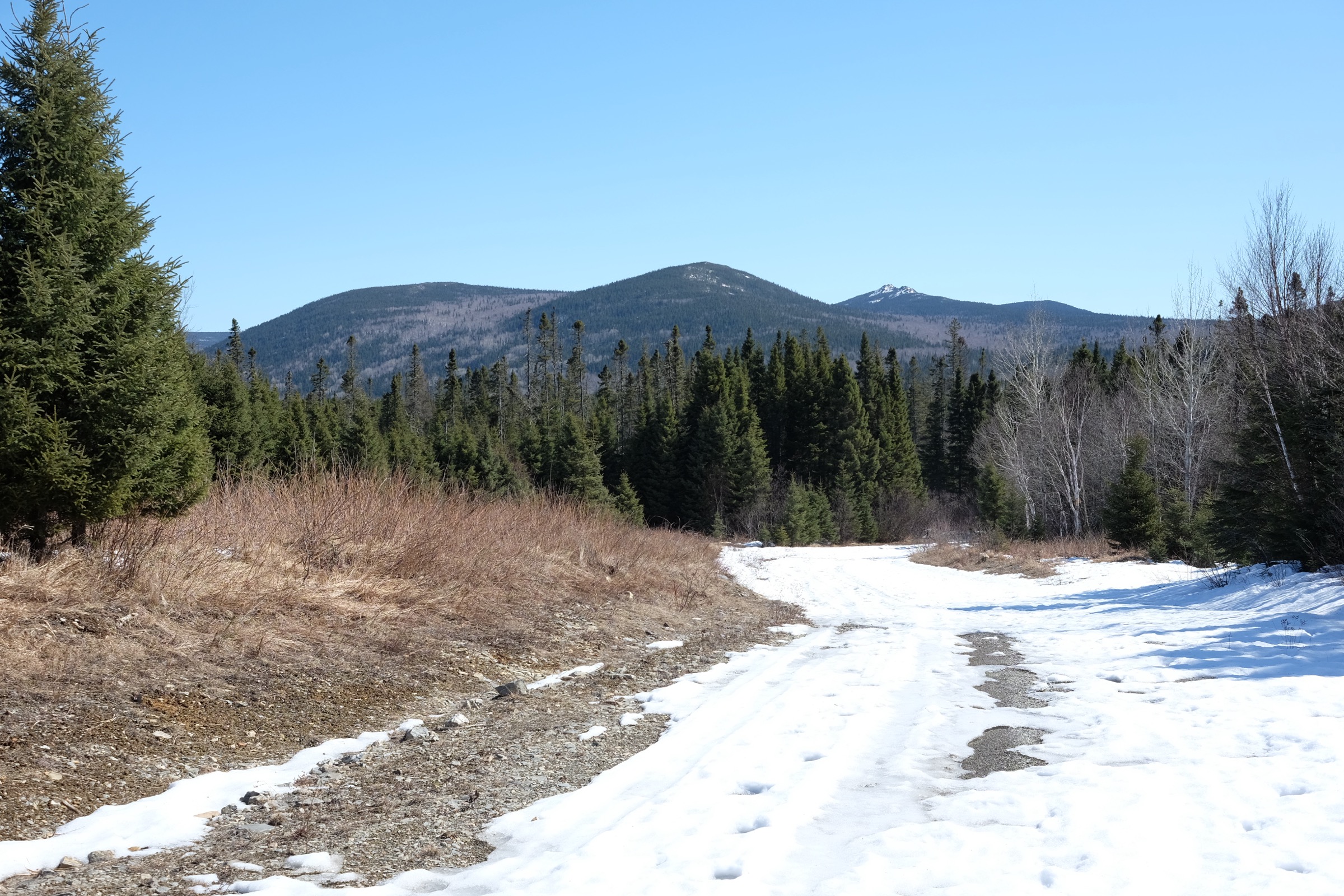
The route is a steady uphill on an old gravel access track shared with snowmobiles and ATVs in season, signposted with green Dobson Trail markers and a Fundy Geo Nature route badge. From the lower trailhead near the Pollett River Road, the track climbs west through a young mixed-wood Acadian forest of birch, fir, and spruce, crosses two minor logging junctions, and steepens on the final approach. The summit area is a partly cleared upland on a long ridge giving a wide view east and north across the Petitcodiac valley to Moncton, and on a clear day across the upper Kennebecasis catchment to the Sussex hills. Descent is by the same line. Stronger walkers extend the day by linking south along the Dobson Trail spine.
Why it is essential
Hayward Pinnacle is the highest summit in Albert County and the principal named objective on the long Dobson Trail between Riverview and Fundy National Park. As the only true upland summit in the eastern Caledonia Highlands that is reachable as a half-day walk with road access on both ends, it is the obvious choice when a peak-bagging objective is wanted alongside the gorge and look-off entries in this catalogue.
Equipment
Standard mountain hiking equipment: boots or trail shoes, a warm layer for the exposed upper clearing, weatherproof shell, water, food, navigation backup, bear-aware food storage, and tick protection. The track is wide and surface conditions are usually good, so trekking poles are optional.
Hazards and notes
The track is shared with motorised users and 4WD vehicles can be present on summer weekends; stay alert at blind corners. Black-fly and mosquito pressure is high from late May to early July. Tick checks afterwards are essential. The summit clearing is exposed to wind and there is no shelter at the top. Lower sections of the trail can be wet and rutted after rain.
GPX / route file
| Source | URL |
|---|---|
| AllTrails: Hayward Pinnacle | alltrails.com |
| Trailpeak: Hayward Pinnacle (Dobson Trail) | trailpeak.com |
External links
- The Outbound — Summit Hayward Pinnacle, Elgin, New Brunswick
- Peakery — Hayward Pinnacle
- Wikipedia — Dobson Trail
4. Dobson Trail — Mill Creek loop from Riverview
Snapshot
Itinerary
The Dobson Trail runs 58 km from Pine Glen Road in Riverview to the northern boundary of Fundy National Park near Alma, threading the heart of the Caledonia Highlands. This short loop uses the northernmost segment. From the Pine Glen Road trailhead, a wheelchair-accessible groomed path follows Mill Creek upstream through mixed hardwood and softwood forest, past several pools, footbridges, and interpretive boards. The full loop turns at a marked junction on the upper bench above the creek and returns on a slightly higher line through young Acadian forest, completing the loop at the trailhead. A shorter 2.8 km Dobson Short Riverview Loop variant covers the maintained section only.
Why it is essential
This is the northern gateway of the Dobson Trail and the only accessible introduction to the long footpath corridor that defines the inland Caledonia Highlands. It is the natural companion to the more committing Hayward Pinnacle entry further south along the same trail. The wheelchair-accessible lower section makes this the only Caledonia Highlands route in the catalogue genuinely open to walkers of all abilities, and Mill Creek itself is a representative example of the small spruce-fir streams that drain the eastern flank of the highlands.
Equipment
Standard hiking equipment: trail shoes, light layers, water, and food. Insect repellent is needed from late May to early July. Tick protection is essential in all seasons. No special equipment is required.
Hazards and notes
The trail sees heavy day use in summer near the Pine Glen Road end and can be muddy after rain on the upper bench. Black-fly and mosquito pressure is heavy in early summer. Ticks are widespread. The wheelchair-accessible standard applies only to the first 2 km maintained section; the wider Mill Creek loop has roots and one short rooty rise. The longer south extension of the Dobson Trail is multi-day and not recommended without bear-aware overnight food storage and a four-season kit.
GPX / route file
| Source | URL |
|---|---|
| AllTrails: Dobson Trail Short Riverview Loop | alltrails.com |
| Trailforks: Dobson Trail | trailforks.com |
External links
- Town of Riverview — Dobson Trail
- Tourism New Brunswick — Dobson Trail (Riverview to Alma)
- Hiking NB — Dobson Trail
5. Hopewell Rocks cliff-top and ocean-floor circuit
Snapshot
Itinerary
From the interpretive centre at the top of the cliff, a network of paved paths and groomed boardwalks links the main viewing points along the Hopewell Cape cliff edge: Big Cove, Diamond Rock, North Beach, and the Flowerpots Lookoff. A long metal staircase drops to the ocean floor at the Flowerpots, where at low tide walkers can move among the famous tide-carved sandstone sea stacks. The same staircase climbs back to the cliff top and the loop closes through the Demoiselle Beach and Daniel’s Flats sections. The principal feature is the tidal range — the Bay of Fundy carries the highest tides in the world, and the same stacks that walkers move among at low tide are kayak-accessible six hours later. Tide timing is essential: the ocean-floor section is closed for several hours either side of high tide.
Why it is essential
Hopewell Rocks is the most internationally famous landscape in the Caledonia Highlands, and the cliff-top and ocean-floor circuit is the only walk in this catalogue that exposes walkers directly to the extreme Bay of Fundy tidal regime that defines the region’s southern boundary. The sandstone stacks and the cliffs they were carved from are part of the same Carboniferous bedrock that underlies much of the inland highlands, and the site’s protection as a provincial park makes it a low-friction introduction to the region.
Equipment
Standard hiking equipment: light hiking shoes with grip for the wet rock at the base of the staircase, sun protection, water, and a windproof layer. A change of footwear and a towel are useful if walking on the wetter parts of the ocean floor.
Hazards and notes
The tide can rise faster than expected — walkers must clear the ocean floor by the park-posted closing time or risk being cut off by rapidly returning water. The base of the staircase is slippery on seaweed-covered rock. The cliff-top paths are railed at the viewing decks but the unrailed cliff edge is close in places. Park entry is gated and a fee applies; opening hours and the ocean-floor schedule should be checked on the day. Black bear and ticks are present in the surrounding forest sections.
GPX / route file
| Source | URL |
|---|---|
| AllTrails: Hopewell Rocks | alltrails.com |
| AllTrails: Hopewell Cape Trails | alltrails.com |
External links
- NB Parks — Hopewell Rocks Provincial Park
- Tourism New Brunswick — Hopewell Rocks
- Hiking NB — Hopewell Rocks Provincial Park
External links
| Source | URL |
|---|---|
| NB Parks — Fundy Trail Provincial Park | nbparks.ca |
| NB Parks — Hopewell Rocks Provincial Park | parcsnbparks.ca |
| New Brunswick Protected Natural Areas — Our Heritage | www2.gnb.ca |
| Fundy Biosphere Reserve — Crooked Creek Look-Off | fundy-biosphere.ca |
| Connecting Albert County — Discovering Caledonia Gorge | connectingalbertcounty.org |
| Tourism New Brunswick — Dobson Trail (Riverview to Alma) | tourismnewbrunswick.ca |
| Tourism New Brunswick — Hopewell Rocks | tourismnewbrunswick.ca |
| Town of Riverview — Dobson Trail | townofriverview.ca |
| Hiking NB — Walton Glen Gorge Trail | hikingnb.ca |
| Hiking NB — Dobson Trail | hikingnb.ca |
| Hiking NB — Crooked Creek Falls Trail | hikingnb.ca |
| Hiking NB — Hopewell Rocks Provincial Park | hikingnb.ca |
| Waterfalls of New Brunswick — Walton Glen Gorge and Falls | waterfallsnewbrunswick.ca |
| Waterfalls of New Brunswick — Eye of the Needle | waterfallsnewbrunswick.ca |
| The Outbound — Summit Hayward Pinnacle | theoutbound.com |
| Peakery — Hayward Pinnacle | peakery.com |
| Trailpeak — Hayward Pinnacle (Dobson Trail) | trailpeak.com |
| AllTrails — Eye of the Needle (Walton Glen Gorge) | alltrails.com |
| AllTrails — Walton Glen Gorge Viewpoint and Waterfall Long Route | alltrails.com |
| AllTrails — Crooked Creek Trail | alltrails.com |
| AllTrails — Hayward Pinnacle | alltrails.com |
| AllTrails — Dobson Trail Short Riverview Loop | alltrails.com |
| AllTrails — Hopewell Rocks | alltrails.com |
| Trailforks — Crooked Creek Loop Trail | trailforks.com |
| Trailforks — Dobson Trail | trailforks.com |
| Wikipedia — Dobson Trail | en.wikipedia.org |
| Wikipedia — Sentier NB Trail | en.wikipedia.org |
| Wikimedia Commons — Hopewell Rocks category | commons.wikimedia.org |
| Wikimedia Commons — Cape Enrage category | commons.wikimedia.org |