Regional overview
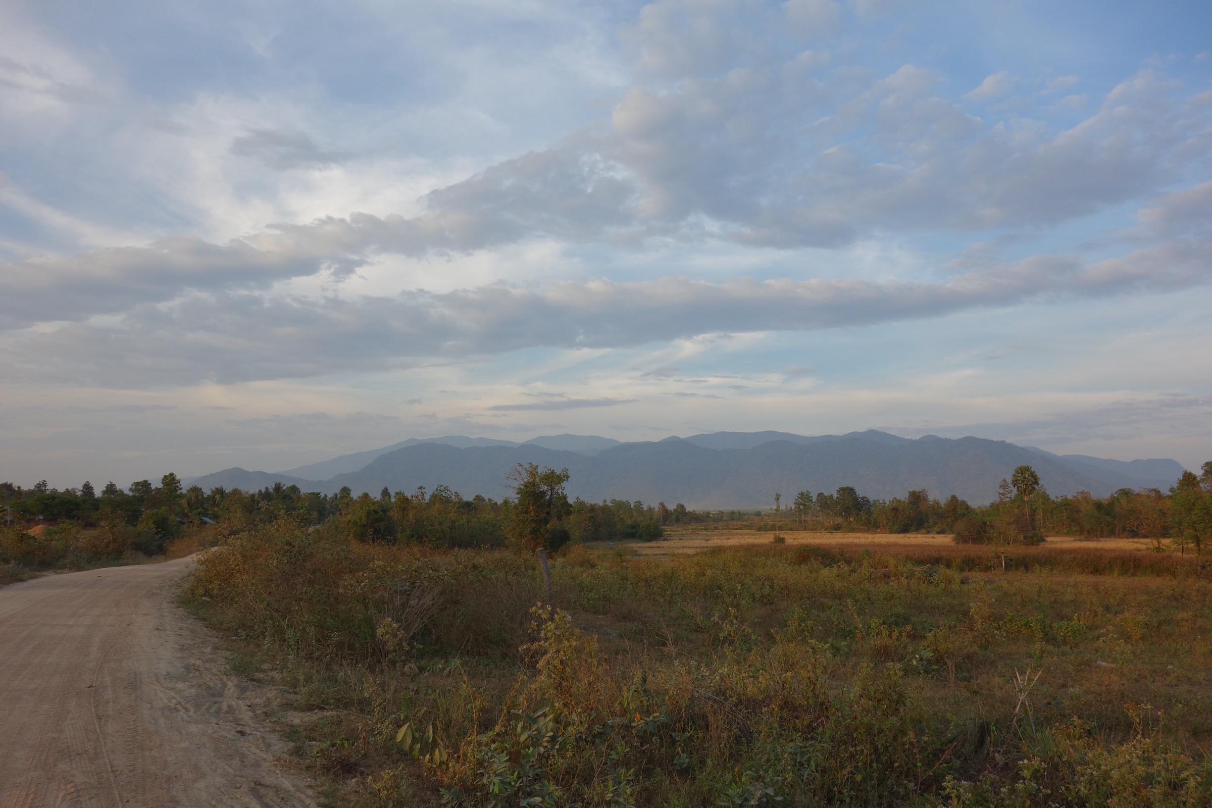
The Cardamom and Elephant Mountains form a wet tropical mountain belt across south-west Cambodia and eastern Thailand, with dense evergreen forest, bamboo, waterfalls, humid valleys, and a few high viewpoints. Cambodia holds the wilder and less documented terrain, including Phnom Aural and the Bokor / Dâmrei highlands; Thailand’s eastern outliers have better-maintained national-park waterfall trails.
The normal hiking season is the cooler dry season, roughly November to February. Waterfalls are strongest during and just after the monsoon, but trails can become muddy, slippery, and flash-flood prone. Snow is not a normal risk; heat, humidity, leeches, snakes, poor phone coverage, and sudden heavy rain are more relevant.
Access is uneven. Thai trailheads usually need a private vehicle or local taxi. Cambodian mountain routes often require local guide arrangements, early starts, and confirmation of permits or protected-area rules. For Bokor, check current travel advisories and local security/access conditions before visiting.
Selection rationale
These five hikes balance the region’s main day-hiking characters: Cambodia’s national high point, the historic Elephant Mountains plateau, Thailand’s culturally important Khao Khitchakut pilgrimage route, and two classic Thai rainforest waterfall trails.
Summary table
| # | Hike | Country | Route type | Distance | Gain | Max elevation | Difficulty |
|---|---|---|---|---|---|---|---|
| 1 | Phnom Aural Peak | Cambodia | Out-and-back | 23.8 km | 1,822 m | 1,803 m route / 1,813 m summit source | Hard |
| 2 | Bokor Viewpoint - Phnom Bokor Loop | Cambodia | Loop | 6.1 km | 184 m | 1,076 m | Moderate |
| 3 | East Pluang Reservoir - Khao Phra Bat Buddha Footprint | Thailand | Out-and-back | 13.0 km | 942 m | 1,013 m | Hard |
| 4 | Khao Chamao Waterfall | Thailand | Out-and-back | 4.7 km | 270 m | 275 m | Moderate |
| 5 | Soi Dao Waterfall | Thailand | Out-and-back | 7.9 km | 271 m | 500 m | Moderate |
1. Phnom Aural Peak
Snapshot
Itinerary
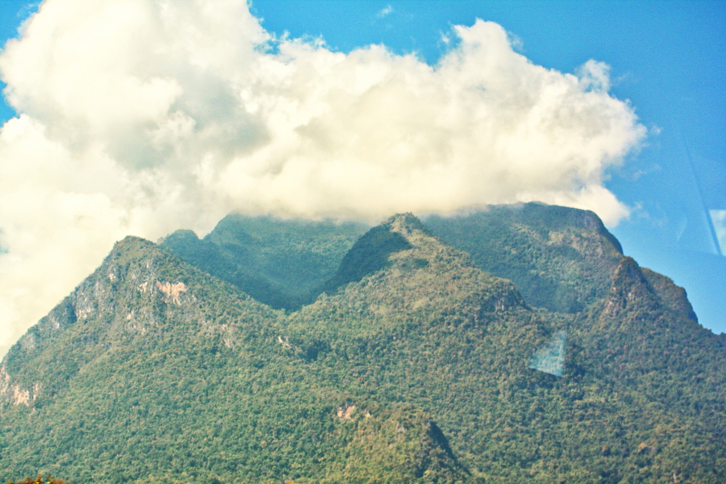
The route begins near Sre Ken and climbs through dense, bamboo-filled forest on a steep, muddy track. The upper route reaches the forested summit area of Phnom Aural, marked by a small Buddhist shrine. Views may be limited by vegetation and cloud, but the route is the most direct walking approach to Cambodia’s national high point.
Why it is essential
Phnom Aural is Cambodia’s highest mountain and a defining Cardamom objective. It is included as a strenuous exception to the usual day-hike limits because of its national significance.
Equipment
- Sturdy boots, trekking poles, 3+ litres of water or water treatment, food.
- Headtorch, offline map/GPS, long sleeves, rain shell, first aid, insect/leech protection.
- Local guide and permit arrangements should be confirmed before departure.
Hazards and notes
- Steep mud, river crossings, heat, humidity, leeches, limited phone coverage, and slow jungle travel.
- AllTrails states that a guide and permit are required; this needs local confirmation from current protected-area contacts or guides.
GPX / KML links
| Source | URL | Format / access | Reuse status |
|---|---|---|---|
| AllTrails: Phnom Aural Peak | alltrails.com | Interactive route source | AllTrails terms; no direct GPX verified; use for verification only; independent GPX creation needed |
External links
- AllTrails — Phnom Aural Peak
- Wikipedia — Phnom Aural
- Wikipedia — Phnom Aural Wildlife Sanctuary
- Wikimedia Commons — Phnom Aural search
2. Bokor Viewpoint - Phnom Bokor Loop

Snapshot
Itinerary
The loop links the Bokor plateau viewpoints and historic hill-station area, using paved sections and rougher tracks around the old church, Bokor Palace area, and nearby escarpment viewpoints. The walking is short, but the plateau can be windy, foggy, and exposed to rapid weather changes.
Why it is essential
This is the most accessible day-walk expression of the Elephant Mountains: high plateau, Gulf of Thailand views, colonial hill-station remains, and Bokor’s unusual cool, misty climate.
Equipment
- Standard hiking equipment, plus rain shell, sun protection.
- Footwear with grip for wet concrete, moss, and rough tracks.
Hazards and notes
- Fog can reduce visibility quickly.
- Some areas may be affected by resort development, road traffic, or closures. Check current local access conditions.
- Some governments issued warnings in late 2025 relating to scam-centre crime in the wider Bokor Mountain area; check current official travel advice before visiting.
GPX / KML links
| Source | URL | Format / access | Reuse status |
|---|---|---|---|
| AllTrails: Bokor Viewpoint - Phnom Bokor Loop | alltrails.com | Interactive route source | AllTrails terms; no direct GPX verified; use for verification only; independent GPX creation needed |
External links
- AllTrails — Bokor Viewpoint - Phnom Bokor Loop
- Wikipedia — Preah Monivong National Park
- Wikipedia — Bokor Hill Station
- Wikimedia Commons — Bokor Hill Station search
3. East Pluang Reservoir - Khao Phra Bat Buddha Footprint

Snapshot
Itinerary
The route climbs from the Pluang Reservoir side of Khao Khitchakut National Park through forest toward the Khao Phra Bat pilgrimage area. The upper section reaches the Buddha Footprint and boulder formations near the high point. The route can be walked both ways or combined with the seasonal shuttle descent when operating.
Why it is essential
Khao Phra Bat is one of the region’s most culturally important mountain destinations, combining a steep forest ascent with a major Thai Buddhist pilgrimage site.
Equipment
- Sturdy footwear, poles, water, sun protection, insect protection, rain shell.
- Headtorch if walking during pilgrimage hours outside daylight.
Hazards and notes
- The pilgrimage route is seasonal.
- Thai National Parks reports Khao Phra Bat normally opens around February-March, while the wider park closes July-September.
- Confirm exact dates, shuttle rules, and park access before travel.
GPX / KML links
| Source | URL | Format / access | Reuse status |
|---|---|---|---|
| AllTrails: East Pluang Reservoir - Buddha’s Footprint | alltrails.com | Interactive route source | AllTrails terms; no direct GPX verified; use for verification only; independent GPX creation needed |
| Thai National Parks: Khao Khitchakut National Park | thainationalparks.com | Park/access source | Not a route-file licence; access verification only |
External links
- AllTrails — East Pluang Reservoir - Buddha’s Footprint
- Thai National Parks — Khao Khitchakut National Park
- Wikipedia — Khao Khitchakut National Park
- Wikimedia Commons — Khao Khitchakut search
4. Khao Chamao Waterfall

Snapshot
Itinerary
The trail follows Khao Chamao’s multi-tier waterfall through evergreen forest, passing named pools and cascades such as Wang Matcha, Wang Morakot, Wang Sai Ngam, and Pha Kluay Mai. Thai National Parks states that only the first seven tiers are currently accessible to the public.
Why it is essential
This is one of the clearest day-hike examples of the Thai Cardamom outliers: short, humid rainforest walking, swimming pools, fish-filled streams, and a maintained national-park setting.
Equipment
- Grippy shoes, insect protection, water, sun protection.
- Rain layer in monsoon months.
Hazards and notes
- Wet rocks and roots are slippery.
- Swimming conditions change after rain.
- Thai National Parks states food is checked before the waterfall trail and is not allowed beyond a checkpoint.
- Published opening hours and fees should be confirmed before departure.
GPX / KML links
| Source | URL | Format / access | Reuse status |
|---|---|---|---|
| AllTrails: Khao Chamao Waterfall | alltrails.com | Interactive route source | AllTrails terms; no direct GPX verified; use for verification only; independent GPX creation needed |
| Thai National Parks: Khao Chamao - Khao Wong | thainationalparks.com | Park/access source | Not a route-file licence; access verification only |
External links
- AllTrails — Khao Chamao Waterfall
- Thai National Parks — Khao Chamao - Khao Wong
- Wikipedia — Khao Chamao - Khao Wong National Park
- Wikimedia Commons — Khao Chamao search
5. Soi Dao Waterfall

Snapshot
Itinerary
The route follows the Soi Dao waterfall trail into Khao Soi Dao Wildlife Sanctuary. The waterfall system has multiple tiers, and the trail gives a humid forest walk with stream crossings, pools, and butterfly-rich habitat.
Why it is essential
Khao Soi Dao is one of the major Thai Cardamom wildlife sanctuaries, and the waterfall trail is its most practical day-hike objective for non-specialist walkers.
Equipment
- Sturdy grippy shoes, insect protection, rain layer, water.
- Offline navigation.
Hazards and notes
- The sanctuary is remote compared with the national parks closer to Rayong and Chanthaburi.
- Wet rock, moss, and stream edges are slippery.
- Wildlife should be observed from a distance.
- Opening times and any sanctuary access restrictions need local confirmation.
GPX / KML links
| Source | URL | Format / access | Reuse status |
|---|---|---|---|
| AllTrails: Soi Dao Waterfall | alltrails.com | Interactive route source | AllTrails terms; no direct GPX verified; use for verification only; independent GPX creation needed |
External links
- AllTrails — Soi Dao Waterfall
- Wikipedia — Khao Soi Dao Wildlife Sanctuary
- Wikimedia Commons — Khao Soi Dao search
Missing data / follow-up work
- No official GPX/KML downloads were found for any selected route.
- Direct DNP official pages were blocked by an Incapsula error in this pass; Thai National Parks and trail databases were used for access details.
- Phnom Aural permit/guide requirements need confirmation from current local protected-area authorities or operators.
- Bokor access and security context should be checked against current official travel advisories.
- Khnorng Phsa, Chi Phat, and Kirirom have potential catalogue value but need stronger official route statistics, guide requirements, and reusable media before replacing any of the five above.
- Direct Wikimedia Commons file URLs for the selected photos were not supplied in the source spec; search-URL placeholders are used and should be replaced with file URLs at publication time.
- No route-specific open waterfall image was found for Soi Dao; the sanctuary-level panorama is used as a representative figure.
External links
| Source | URL |
|---|---|
| AllTrails — Phnom Aural Peak | alltrails.com |
| AllTrails — Bokor Viewpoint - Phnom Bokor Loop | alltrails.com |
| AllTrails — East Pluang Reservoir - Buddha’s Footprint | alltrails.com |
| AllTrails — Khao Chamao Waterfall | alltrails.com |
| AllTrails — Soi Dao Waterfall | alltrails.com |
| Thai National Parks — Khao Khitchakut | thainationalparks.com |
| Thai National Parks — Khao Chamao - Khao Wong | thainationalparks.com |
| Wikipedia — Phnom Aural | en.wikipedia.org |
| Wikipedia — Phnom Aural Wildlife Sanctuary | en.wikipedia.org |
| Wikipedia — Preah Monivong National Park | en.wikipedia.org |
| Wikipedia — Bokor Hill Station | en.wikipedia.org |
| Wikipedia — Khao Khitchakut National Park | en.wikipedia.org |
| Wikipedia — Khao Chamao - Khao Wong National Park | en.wikipedia.org |
| Wikipedia — Khao Soi Dao Wildlife Sanctuary | en.wikipedia.org |
| Wikimedia Commons — Phnom Aural search | commons.wikimedia.org |
| Wikimedia Commons — Bokor Hill Station search | commons.wikimedia.org |
| Wikimedia Commons — Khao Khitchakut search | commons.wikimedia.org |
| Wikimedia Commons — Khao Chamao search | commons.wikimedia.org |
| Wikimedia Commons — Khao Soi Dao search | commons.wikimedia.org |