Regional overview
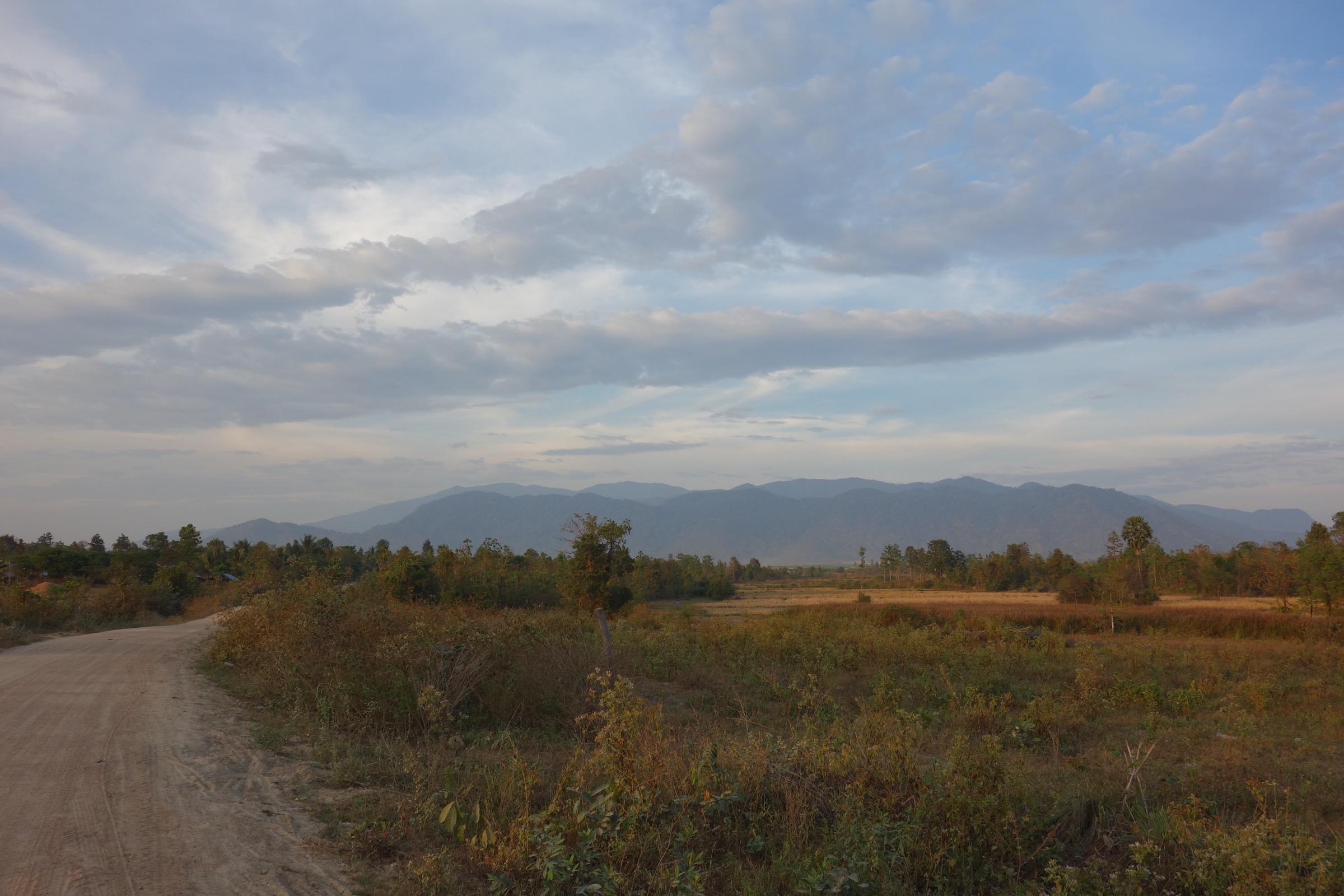
This region covers the humid, forested mountain arcs of northern and western Thailand and adjacent Myanmar, including the Shan highlands, Daen Lao/Thanon Thong Chai ranges, Dawna Hills, and Tenasserim-linked western forest country. The selected hikes are Thailand-weighted because current route data, legal access, and reusable media are far stronger on that side.
The walking character ranges from short cloud-forest nature trails to long limestone summit hikes and waterfall approaches. The best season is generally the cool dry season from November to February, with March to May hot and smoky in many northern areas, and May to October affected by monsoon rain, leeches, road closures, and slippery trails.
Myanmar-side routes such as Kalaw/Inle or Hsipaw walks were not included because current safety/access and official route verification are insufficient for a publication-ready day-hike entry.
Selection rationale
The five hikes represent Thailand’s highest summit environment, a limestone wildlife sanctuary summit, the country’s second-highest mountain, a culturally important pilgrimage forest path, and the Dawna/Tenasserim waterfall landscape around Umphang.
Summary table
| # | Hike | Country | Route type | Distance | Gain | Max elevation | Difficulty |
|---|---|---|---|---|---|---|---|
| 1 | Kew Mae Pan Nature Trail | Thailand | Loop | 3.2 km | 196 m | Not verified | Moderate |
| 2 | Doi Luang Chiang Dao Summit | Thailand | Out-and-back | 17.1 km | 936 m | 2,175 m | Hard |
| 3 | Doi Pha Hom Pok Peak | Thailand | Out-and-back | 6.3 km | 461 m | 2,285 m | Hard |
| 4 | Wat Pha Lat / Monk’s Trail to Doi Suthep | Thailand | Out-and-back | 7.4 km | 616 m | c.1,073 m | Hard |
| 5 | Thi Lo Su Waterfall | Thailand | Out-and-back | 3.5 km | 67 m | Not verified | Easy |
1. Kew Mae Pan Nature Trail

Snapshot
Itinerary
The trail loops through high-elevation forest and open ridge viewpoints on the slopes of Doi Inthanon. It is a managed nature trail, normally walked with local guide arrangements when open.
Why it is essential
Kew Mae Pan is the signature short mountain walk near Thailand’s highest point and gives the most accessible cloud-forest/ridge experience in the Shan-highland part of Thailand.
Equipment
Standard hiking equipment, rain layer, sun protection, and grippy footwear. Warm layer recommended in the cool season.
Hazards and notes
Check seasonal opening, guide requirements, and park rules before departure. Boardwalks, steps, and forest sections can be slippery after rain.
GPX / KML links
| Source | URL | Format / access | Reuse status |
|---|---|---|---|
| AllTrails — Kew Mae Pan Nature Trail | alltrails.com | Source route page | AllTrails terms; GPX reuse not confirmed; source route only |
External links
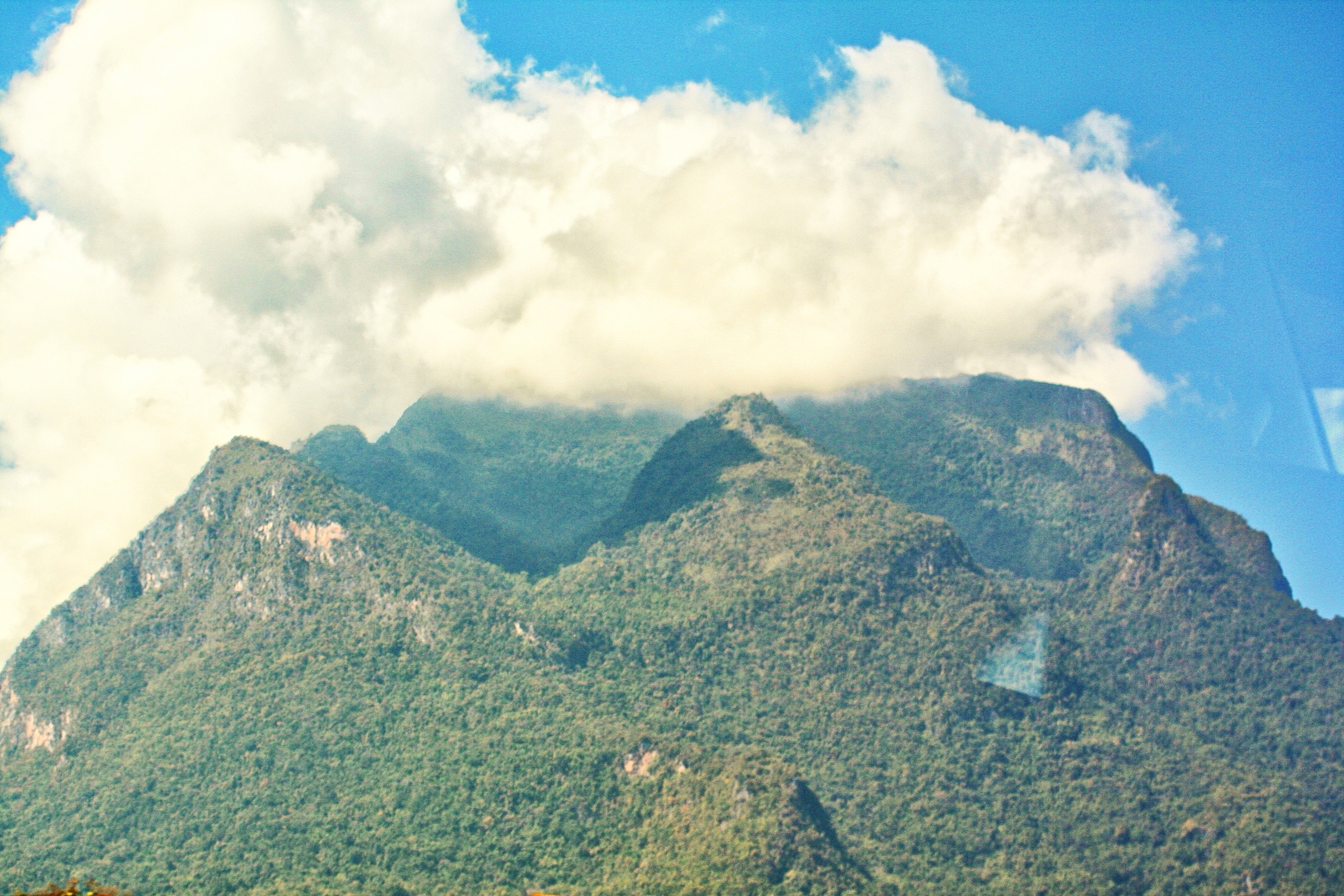
2. Doi Luang Chiang Dao Summit

Snapshot
Itinerary
The summit hike climbs the limestone massif of Doi Luang Chiang Dao, one of Thailand’s highest and most distinctive peaks. The route is within Chiang Dao Wildlife Sanctuary and requires current permission/access confirmation.
Why it is essential
Doi Luang Chiang Dao is a major limestone summit, a UNESCO biosphere-reserve landscape, and one of northern Thailand’s classic hard day hikes.
Equipment
Mountain hiking equipment, sturdy boots, sun protection, warm layer, headtorch, and enough water. Trekking poles recommended.
Hazards and notes
Access is controlled by sanctuary regulations. Do not attempt without current booking/permit guidance. Heat, exposure, limited water, and steep limestone terrain are key hazards.
GPX / KML links
| Source | URL | Format / access | Reuse status |
|---|---|---|---|
| AllTrails — Doi Luang Chiang Dao Summit | alltrails.com | Source route page | AllTrails terms; GPX reuse not confirmed; source route only |
External links
3. Doi Pha Hom Pok Peak

Snapshot
Itinerary
From the high campsite, the trail climbs through cool montane forest and open summit slopes to Thailand’s second-highest peak. Sunrise ascents are common, usually after camping near Kiew Lom.
Why it is essential
The route reaches Thailand’s second-highest summit and represents the high Daen Lao/Shan-border mountain environment.
Equipment
Mountain hiking equipment, warm layer, windproof shell, headtorch for sunrise, water, and sun protection.
Hazards and notes
Access to the high campsite and summit trail is controlled by national-park logistics. Fog, cold wind, and steep muddy sections are common hazards.
GPX / KML links
| Source | URL | Format / access | Reuse status |
|---|---|---|---|
| AllTrails — Doi Pha Hom Pok Peak | alltrails.com | Source route page | AllTrails terms; GPX reuse not confirmed; source route only |
External links
4. Wat Pha Lat / Monk’s Trail to Doi Suthep

Snapshot
Itinerary
The path climbs forested slopes from Chiang Mai toward Wat Pha Lat, a historic resting temple, then continues toward Wat Phra That Doi Suthep. The route combines pilgrimage history, forest, stream gullies, and city viewpoints.
Why it is essential
This is the best-known cultural walking route on Doi Suthep and gives a rare mountain-forest hike directly from Chiang Mai.
Equipment
Standard hiking equipment, grippy shoes, water, sun protection, and temple-appropriate clothing.
Hazards and notes
The upper section is steep and can be slippery. Temple dress rules apply at Wat Phra That Doi Suthep. Avoid walking after dark unless equipped and experienced.
GPX / KML links
| Source | URL | Format / access | Reuse status |
|---|---|---|---|
| AllTrails — Wat Pha Lat Hike / Monk’s Trail | alltrails.com | Source route page | AllTrails terms; GPX reuse not confirmed; source route only |
External links
5. Thi Lo Su Waterfall

Snapshot
Itinerary
The trail approaches Thi Lo Su, a large multi-tier waterfall in Umphang Wildlife Sanctuary. Depending on season and sanctuary access rules, walkers may start from the designated campsite/access area and follow the maintained path to the viewpoints.
Why it is essential
Thi Lo Su is one of Thailand’s most famous waterfalls and gives this regional set a Dawna/western-forest objective distinct from the northern summits.
Equipment
Standard hiking equipment, rain protection, insect protection, and footwear suitable for wet paths.
Hazards and notes
Access changes with season and road conditions. Rainy-season travel can involve closures, long transfers, and slippery surfaces. Follow sanctuary rules.
GPX / KML links
| Source | URL | Format / access | Reuse status |
|---|---|---|---|
| AllTrails — Thi Lo Su Waterfall | alltrails.com | Source route page | AllTrails terms; GPX reuse not confirmed; source route only |
External links
Missing data / follow-up work
- Myanmar-side day-hike candidates need separate safety/access and source verification.
- Official Thai DNP pages should be rechecked directly before publication for closures, permits, and guide rules.
- All GPX reuse terms remain unresolved; AllTrails entries are source-route links only.
- Public transport details are incomplete and should be updated from current local sources.
External links
| Source | URL |
|---|---|
| AllTrails — Kew Mae Pan Nature Trail | alltrails.com |
| AllTrails — Doi Luang Chiang Dao Summit | alltrails.com |
| AllTrails — Doi Pha Hom Pok Peak | alltrails.com |
| AllTrails — Wat Pha Lat / Monk’s Trail | alltrails.com |
| AllTrails — Thi Lo Su Waterfall | alltrails.com |
| Doi Inthanon National Park | en.wikipedia.org |
| Doi Chiang Dao | en.wikipedia.org |
| Doi Pha Hom Pok National Park | en.wikipedia.org |
| Doi Suthep-Pui National Park | en.wikipedia.org |
| Umphang Wildlife Sanctuary | en.wikipedia.org |