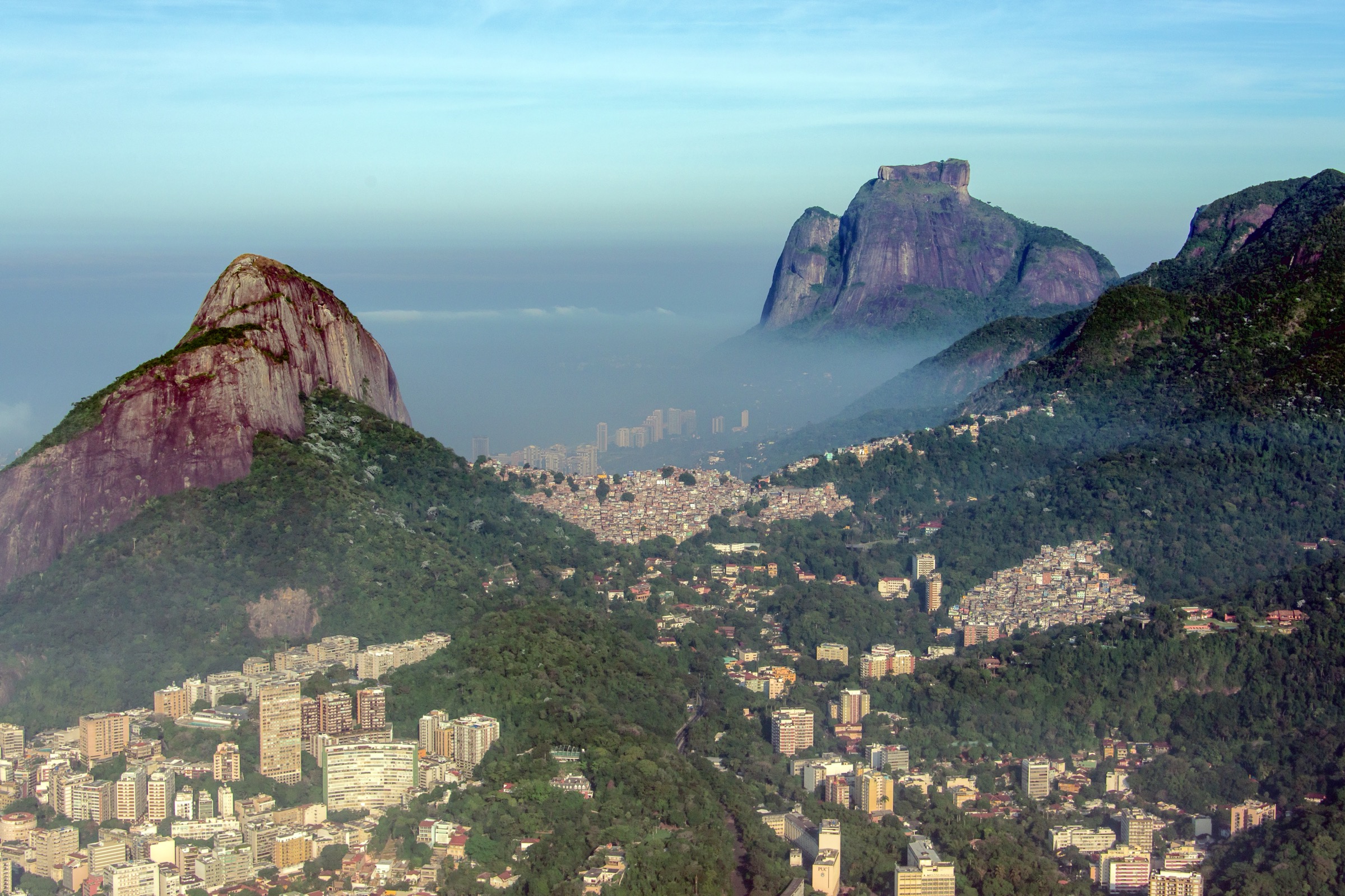
Regional overview
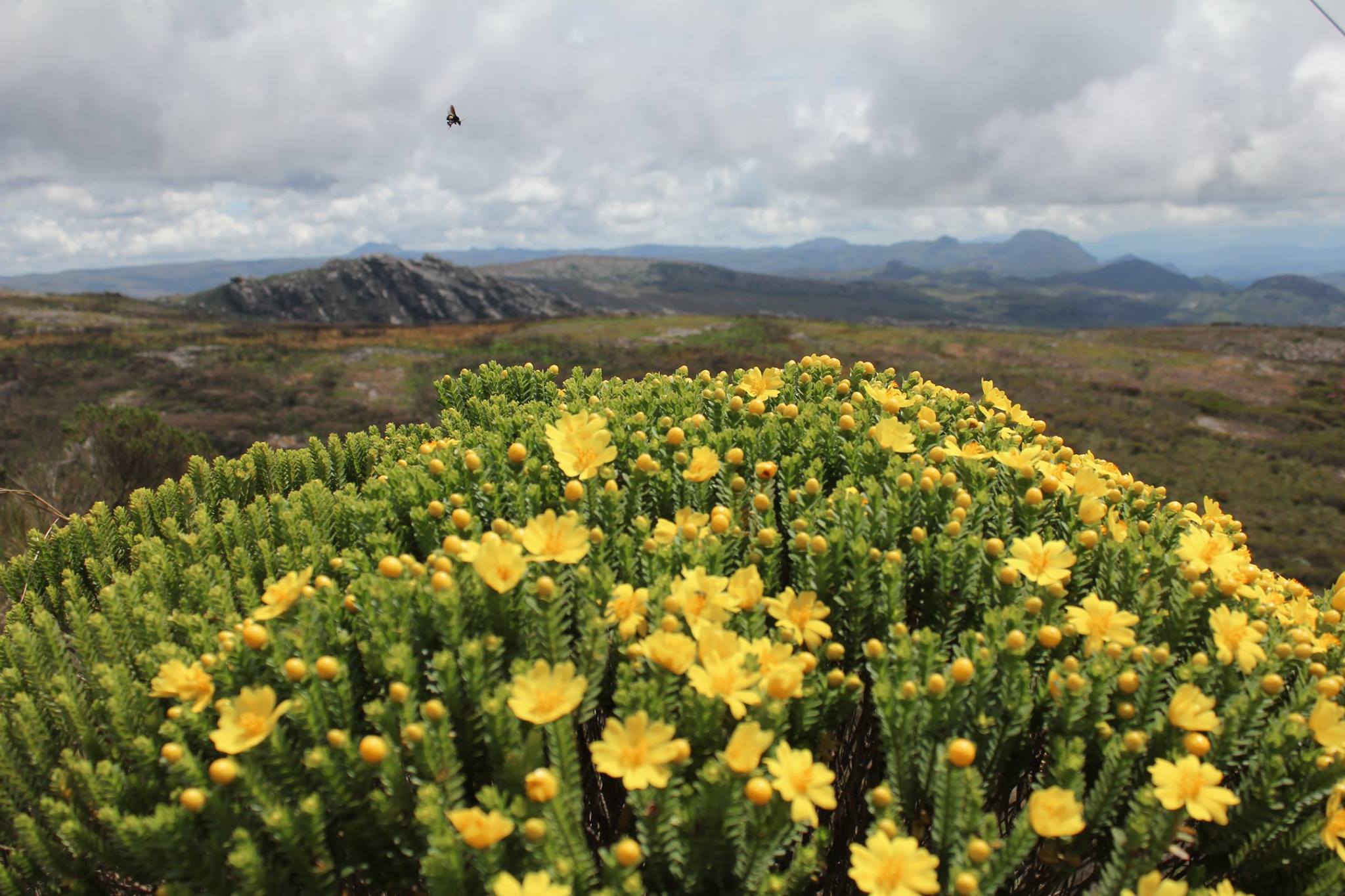
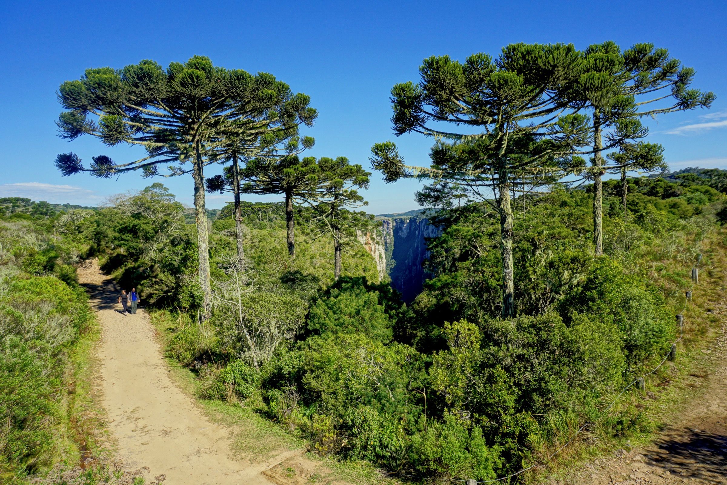
Aparados da Serra is the classic canyon edge of southern Brazil: high basalt grasslands and araucária forest cut abruptly by deep Atlantic-slope gorges. The core public hiking objectives are around Itaimbezinho, where upper-rim walks look into the canyon and lower routes enter river corridors from the Praia Grande side.
The region has cool, wet mountain weather and frequent fog known locally as viração, especially in summer afternoons. The upper-rim trails are short to moderate but exposed near viewpoints. Canyon-floor walks involve river travel, wet rock, possible high water and, for Rio do Boi, guide/authorisation requirements.
Selection rationale
The five hikes cover the essential Itaimbezinho rim viewpoints, the famous Rio do Boi canyon floor, the Malacara river route, and one nearby Serra Geral/Aparados canyon viewpoint to make a full five without choosing obscure trailheads.
Summary table
| # | Hike | Country | Route type | Distance | Gain | Max elevation | Difficulty |
|---|---|---|---|---|---|---|---|
| 1 | Itaimbezinho: Mirante do Vértice loop | Brazil | Loop | 2.7 km | 45 m | c. 1,000 m plateau | Easy |
| 2 | Itaimbezinho: Trilha do Cotovelo | Brazil | Out-and-back | 7.2 km | 455 m | c. 1,000 m plateau | Moderate-hard |
| 3 | Trilha do Rio do Boi | Brazil | Out-and-back | 9.5-10.6 km | 457-535 m | Unresolved | Hard |
| 4 | Malacara River trail | Brazil | Out-and-back | 6.6 km | 215 m | Unresolved | Moderate |
| 5 | Cânion Índios Coroados viewpoint | Brazil | Out-and-back | 1.1 km | 31 m | Unresolved | Easy |
1. Itaimbezinho — Mirante do Vértice loop

Snapshot
Itinerary
The short upper-rim route links Mirante do Vértice with views toward Cachoeira Véu da Noiva and Cachoeira das Andorinhas above the Itaimbezinho gorge.
Why it is essential
It is the most accessible signature viewpoint walk in Aparados da Serra.
Equipment
Standard hiking equipment.
Hazards and notes
Wind, fog, rain, slippery paths and cliff-edge exposure at viewpoints; stay behind barriers.
GPX / KML links
| Source | URL | Format / access | Reuse status |
|---|---|---|---|
| AllTrails — Mirante do Vértice — Cachoeira Véu da Noiva — Andorinhas | alltrails.com | Source map / route page | AllTrails terms apply; reuse unresolved |
External links
2. Itaimbezinho — Trilha do Cotovelo

Snapshot
Itinerary
The Cotovelo path follows the canyon rim to a broader viewpoint over Itaimbezinho’s long basalt trench, waterfalls and forested lower slopes.
Why it is essential
It is the classic longer upper-rim walk for the best Itaimbezinho panorama.
Equipment
Standard hiking equipment plus warm/wind layer.
Hazards and notes
Fog can remove views and make navigation less obvious; cliff edges and thunderstorms are the main hazards.
GPX / KML links
| Source | URL | Format / access | Reuse status |
|---|---|---|---|
| AllTrails — Trilha do Cotovelo | alltrails.com | Source map / route page | AllTrails terms apply; reuse unresolved |
External links
3. Trilha do Rio do Boi

Snapshot
Itinerary
The route enters the lower Itaimbezinho canyon along the Rio do Boi corridor, walking in forest, riverbed and boulder sections beneath the canyon walls.
Why it is essential
It is the definitive canyon-floor experience in Aparados da Serra and contrasts with the rim walks.
Equipment
Mountain hiking equipment, footwear for wet rock/river crossings, dry bag, water and food.
Hazards and notes
Guide/authorisation required or strongly controlled by park practice; high water, flash rises, slippery boulders and rockfall are serious hazards.
GPX / KML links
| Source | URL | Format / access | Reuse status |
|---|---|---|---|
| AllTrails — Rio do Boi | alltrails.com | Source map / route page | AllTrails terms apply; reuse unresolved |
| AllTrails — Trilha do Rio do Boi | alltrails.com | Variant source map / route page | AllTrails terms apply; reuse unresolved |
External links
4. Malacara River trail

Snapshot
Itinerary
The trail follows the Malacara river approach toward pools and canyon scenery below the escarpment, normally as a lower-canyon river walk rather than a high-rim route.
Why it is essential
It is the main Malacara canyon-floor alternative close to the Aparados core.
Equipment
Standard to mountain hiking equipment, shoes suitable for wet rock, dry bag.
Hazards and notes
River level, slippery boulders, storms and access rules are key hazards.
GPX / KML links
| Source | URL | Format / access | Reuse status |
|---|---|---|---|
| AllTrails — Malacara River Trail | alltrails.com | Source map / route page | AllTrails terms apply; reuse unresolved |
External links
5. Cânion Índios Coroados viewpoint

Snapshot
Itinerary
A short walk reaches viewpoints over Cânion Índios Coroados and nearby waterfall/canyon scenery.
Why it is essential
It adds a recognised geosite/viewpoint outside the immediate Itaimbezinho rim, useful for a compact Aparados selection.
Equipment
Standard hiking equipment.
Hazards and notes
Cliff-edge exposure, fog, wet grass/rock and private/access rules.
GPX / KML links
| Source | URL | Format / access | Reuse status |
|---|---|---|---|
| AllTrails — Cânion Índios Coroados | alltrails.com | Source map / route page | AllTrails terms apply; reuse unresolved |
External links
External links
| Source | URL |
|---|---|
| AllTrails — Mirante do Vértice | alltrails.com |
| AllTrails — Trilha do Cotovelo | alltrails.com |
| AllTrails — Rio do Boi | alltrails.com |
| AllTrails — Trilha do Rio do Boi | alltrails.com |
| AllTrails — Malacara River Trail | alltrails.com |
| AllTrails — Cânion Índios Coroados | alltrails.com |
| Wikipedia — Parque Nacional de Aparados da Serra | pt.wikipedia.org |