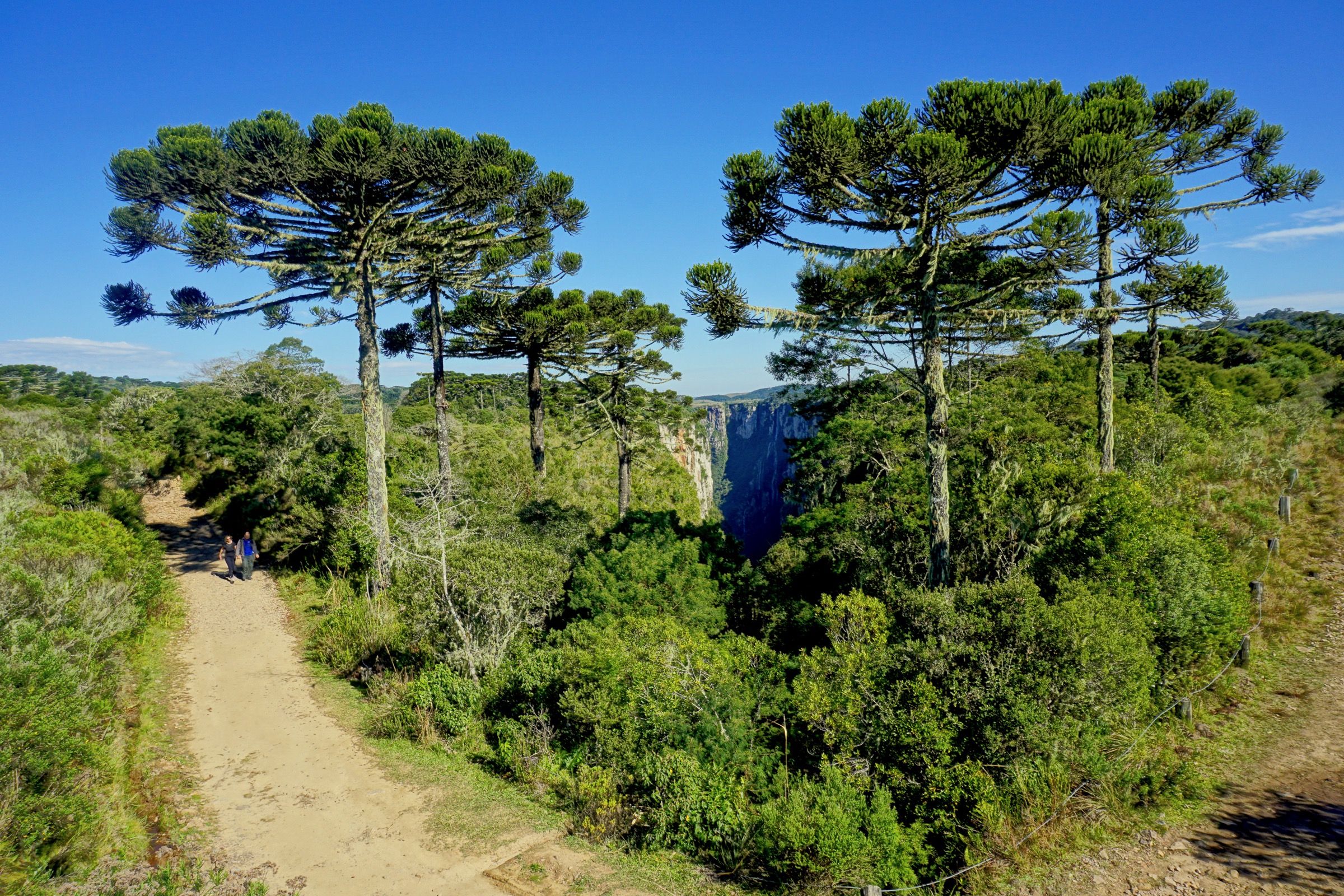
Regional overview
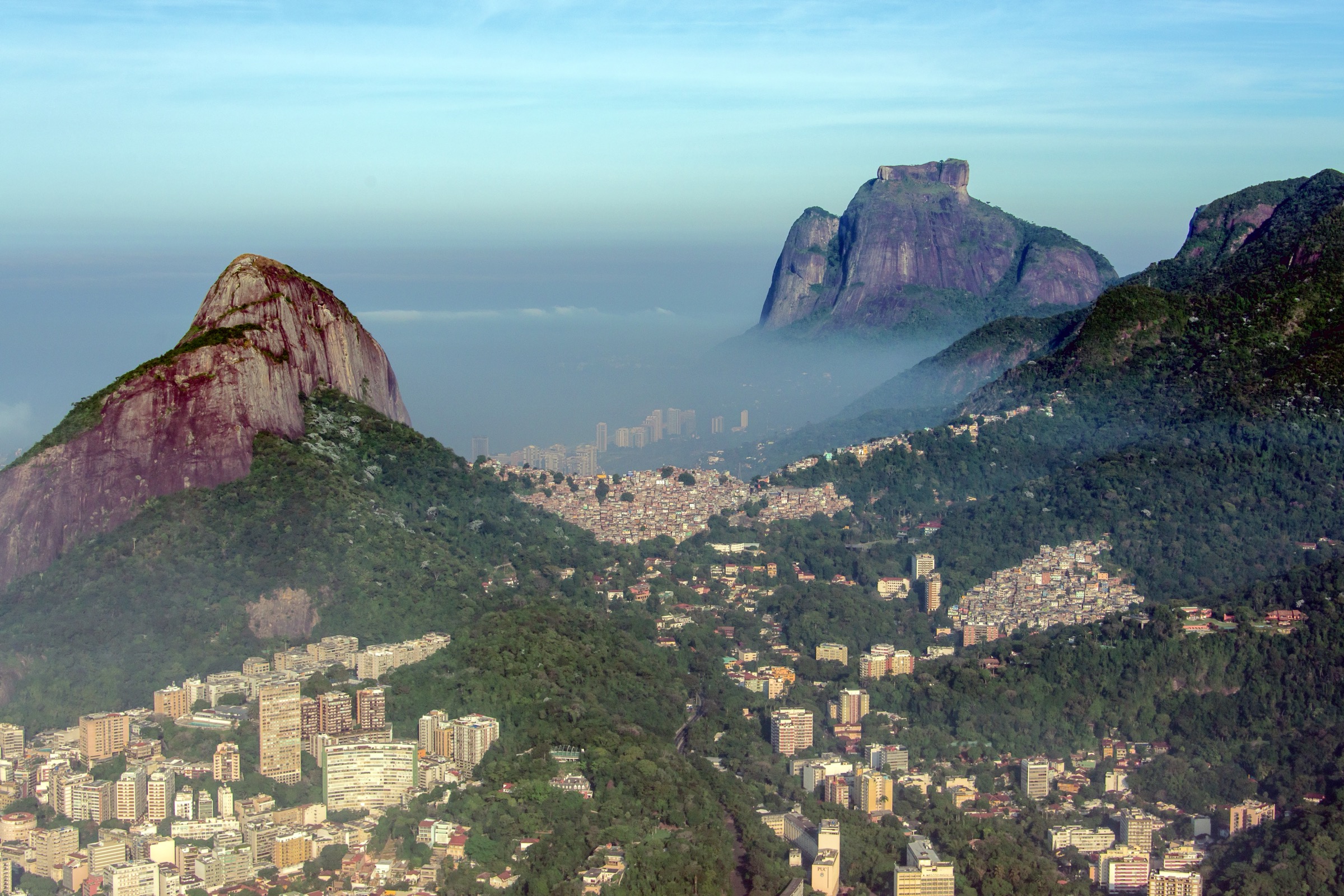
Rio de Janeiro’s Tijuca and adjacent coastal granite hills form one of the world’s most concentrated urban mountain-walking areas. Trails leave from forest roads, city parks and favela-edge trailheads, climbing Atlantic Forest slopes to granite viewpoints over Guanabara Bay, the ocean beaches, Lagoa, Barra da Tijuca and the city’s landmark peaks.
The core hiking centres are Tijuca National Park, Parque Lage, São Conrado / Estrada das Canoas, and Vidigal. Terrain ranges from easy viewpoint paths to exposed scrambling on Pedra da Gávea. The walking season is effectively year-round, but heat, thunderstorms and wet rock are serious factors in summer.
Urban access is good, but safety and legal access are route-specific. Walkers should use current local advice for Parque Lage-Corcovado and Vidigal, respect park hours, avoid isolated trails late in the day, and treat Pedra da Gávea’s Carrasqueira as a technical exposed obstacle.
Selection rationale
The five routes cover the region’s essential hiking types: the famous hard granite scramble of Pedra da Gávea, the highest summit of Tijuca National Park at Pico da Tijuca, the classic easy coastal viewpoint of Pedra Bonita, the forest pilgrimage route to Corcovado, and the short but iconic Dois Irmãos viewpoint above Vidigal.
Summary table
| # | Hike | Country | Route type | Distance | Gain | Max elevation | Difficulty |
|---|---|---|---|---|---|---|---|
| 1 | Pedra da Gávea | Brazil | Out-and-back | 6.4 km | 802 m | 798 m route source; summit c. 842-844 m | Strenuous |
| 2 | Pico da Tijuca | Brazil | Out-and-back | 4.7 km | 348 m | 936 m route source; summit c. 1,021 m | Moderate |
| 3 | Pedra Bonita | Brazil | Out-and-back | c. 2-3 km | c. 150-200 m | c. 696-699 m | Easy-moderate |
| 4 | Corcovado via Parque Lage | Brazil | Out-and-back | 9.3 km | 653 m | 598 m route source; Corcovado c. 710 m | Hard |
| 5 | Dois Irmãos via Vidigal | Brazil | Out-and-back | 3.1 km | 208 m | 406 m | Moderate |
1. Pedra da Gávea

Snapshot
Itinerary
The trail starts at the end of Estrada Sorimã and climbs steep Atlantic Forest slopes toward the upper granite mass. The defining obstacle is the Carrasqueira, a roughly 30 m exposed rock step where many parties use rope assistance or a guide. Above it, the route reaches the broad summit of Pedra da Gávea, with views over São Conrado, Pedra Bonita, Barra da Tijuca, Lagoa, the South Zone beaches and Tijuca Forest. Descend the same way.
Why it is essential
Pedra da Gávea is Rio’s most famous hard day hike: a coastal granite summit, city landmark and serious scramble in one compact route.
Equipment
Mountain hiking equipment, grippy footwear, 2 litres or more water, sun protection, rain/wind layer, headtorch, and navigation. Rope, harness and a qualified guide are strongly recommended for walkers not confident on exposed scrambling.
Hazards and notes
The Carrasqueira has real fall consequences, especially on descent. Wet rock, storms, heat, dehydration and crowding increase risk. AllTrails notes fixed chains and recommends certified guiding for safety.
GPX / KML links
| Source | URL | Format / access | Reuse status |
|---|---|---|---|
| AllTrails — Pedra da Gávea | alltrails.com | Source map / route page | AllTrails terms apply; source-map reference only |
| OpenStreetMap search | openstreetmap.org | Map data / search | OSM data is ODbL; geometry cross-check target |
External links
2. Pico da Tijuca

Snapshot
Itinerary
From the forest road near Bom Retiro / Estrada dos Picos, the path climbs through dense Tijuca Forest to the rocky summit area. A steep staircase and chain assist the final summit section. The top gives a broad view over Rio, the Tijuca massif and surrounding forest.
Why it is essential
Pico da Tijuca is the high point of Tijuca National Park and the natural summit counterpart to the better-known coastal granite routes.
Equipment
Standard hiking equipment, water, rain layer, insect protection and shoes with grip for wet stairs and forest mud.
Hazards and notes
Muddy sections and slippery stone steps are common after rain. Park hours should be respected; AllTrails repeats the 08:00-17:00 operating window.
GPX / KML links
| Source | URL | Format / access | Reuse status |
|---|---|---|---|
| AllTrails — Pico da Tijuca | alltrails.com | Source map / route page | AllTrails terms apply; source-map reference only |
External links
3. Pedra Bonita

Snapshot
Itinerary
The trail starts near Estrada das Canoas and the free-flight ramp access, then climbs a relatively short forest path to the open Pedra Bonita viewpoint. The summit looks directly across to Pedra da Gávea and over São Conrado, Barra da Tijuca, the South Zone and Tijuca Forest.
Why it is essential
Pedra Bonita is the accessible classic viewpoint for understanding the Pedra da Gávea sector without committing to the exposed Carrasqueira scramble.
Equipment
Standard hiking equipment, water, sun protection and grippy shoes.
Hazards and notes
The route is straightforward but can be crowded and slippery after rain. Avoid the cliff edges and free-flight operations areas.
GPX / KML links
| Source | URL | Format / access | Reuse status |
|---|---|---|---|
| AllTrails — Pedra Bonita | alltrails.com | Source map / route page; stats may under-record full summit route | AllTrails terms apply; use cautiously |
| OpenStreetMap search | openstreetmap.org | Map data / search | OSM data is ODbL; geometry cross-check target |
External links
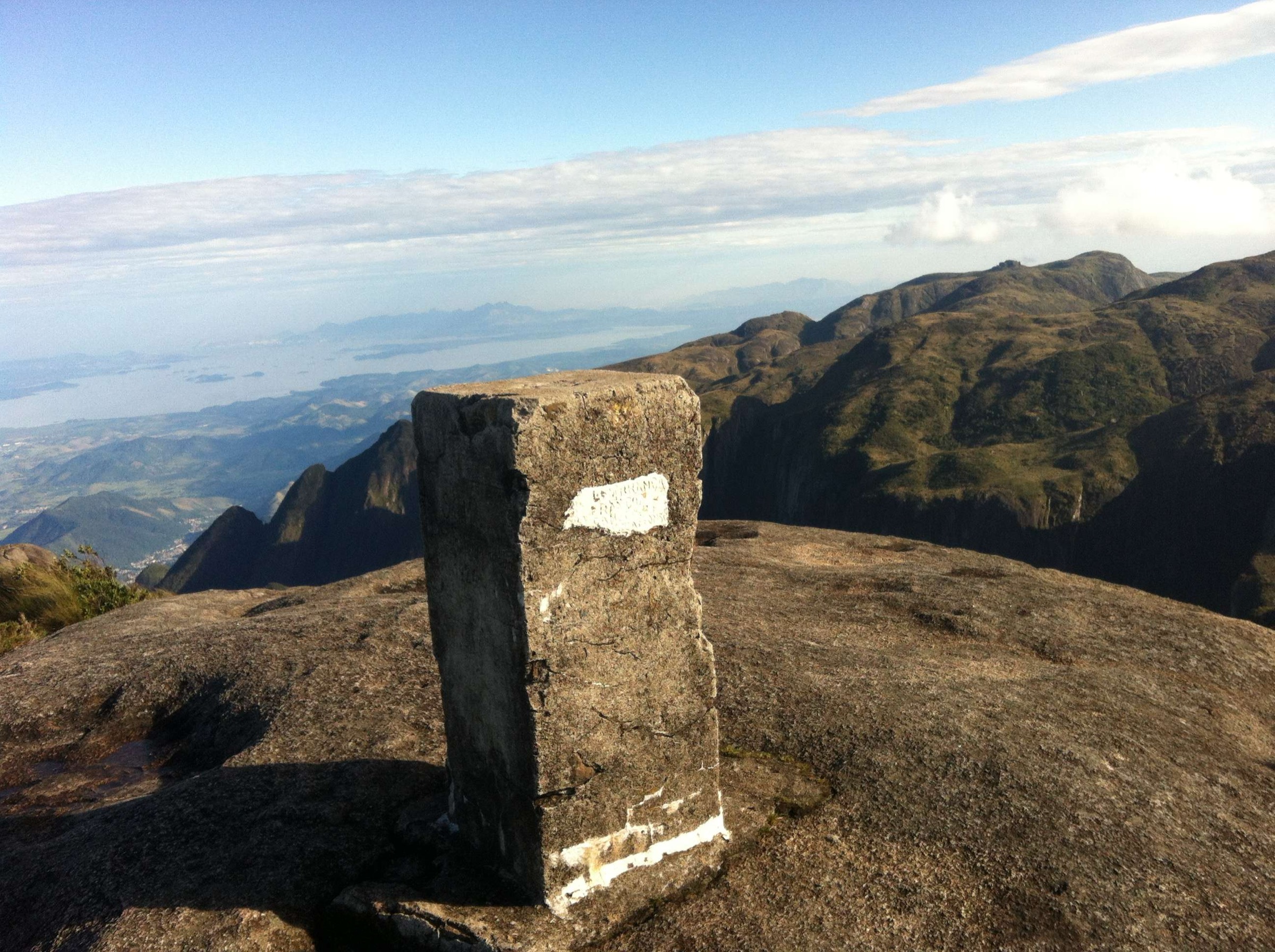
4. Corcovado via Parque Lage

Snapshot
Itinerary
The trail begins inside Parque Lage and climbs through forest toward Corcovado, passing steep sections, small waterfalls and wildlife habitat. Near the upper section it approaches the road/railway tourist zone below Christ the Redeemer. Access into the monument area may require current ticketing and operational checks.
Why it is essential
This is the classic walking approach from the city forest to Rio’s most famous summit landmark, linking Parque Lage, Tijuca Forest and Corcovado in a single historical route.
Equipment
Standard hiking equipment, water, insect repellent, rain layer and headtorch if there is any chance of delay.
Hazards and notes
AllTrails notes hikers should not walk or pause near the train-track junction. Security conditions on this route have varied over time; check current local advice before walking. Start early enough to descend before park closure.
GPX / KML links
| Source | URL | Format / access | Reuse status |
|---|---|---|---|
| AllTrails — Corcovado Trail | alltrails.com | Source map / route page | AllTrails terms apply; source-map reference only |
External links
5. Dois Irmãos via Vidigal

Snapshot
Itinerary
From Vidigal, the route reaches the trailhead near a fenced football field and outdoor gym, then climbs a steep but short forest-and-rock path to the main Dois Irmãos viewpoint. The summit gives one of Rio’s defining views over Leblon, Ipanema, Lagoa, Rocinha, Pedra da Gávea and the ocean.
Why it is essential
Dois Irmãos is the compact urban viewpoint hike that defines Rio’s South Zone coastline and complements the longer Tijuca National Park routes.
Equipment
Light hiking kit, grippy shoes, water, sun protection and current local access/safety advice.
Hazards and notes
The trail is short but steep and slippery after rain. Access passes through Vidigal; use local advice and avoid uncertain security situations.
GPX / KML links
| Source | URL | Format / access | Reuse status |
|---|---|---|---|
| AllTrails — Irmão Maior via Trilha Dois Irmãos | alltrails.com | Source map / route page | AllTrails terms apply; source-map reference only |
External links
External links
| Source | URL |
|---|---|
| AllTrails — Pedra da Gávea | alltrails.com |
| AllTrails — Pico da Tijuca | alltrails.com |
| AllTrails — Pedra Bonita | alltrails.com |
| AllTrails — Corcovado Trail | alltrails.com |
| AllTrails — Irmão Maior via Trilha Dois Irmãos | alltrails.com |
| Wikipedia — Tijuca National Park | en.wikipedia.org |
| Wikipedia — Pedra da Gávea | en.wikipedia.org |
| Wikipedia — Pico da Tijuca | en.wikipedia.org |
| Wikipedia — Corcovado | en.wikipedia.org |
| Wikipedia — Parque Lage | en.wikipedia.org |