Regional overview
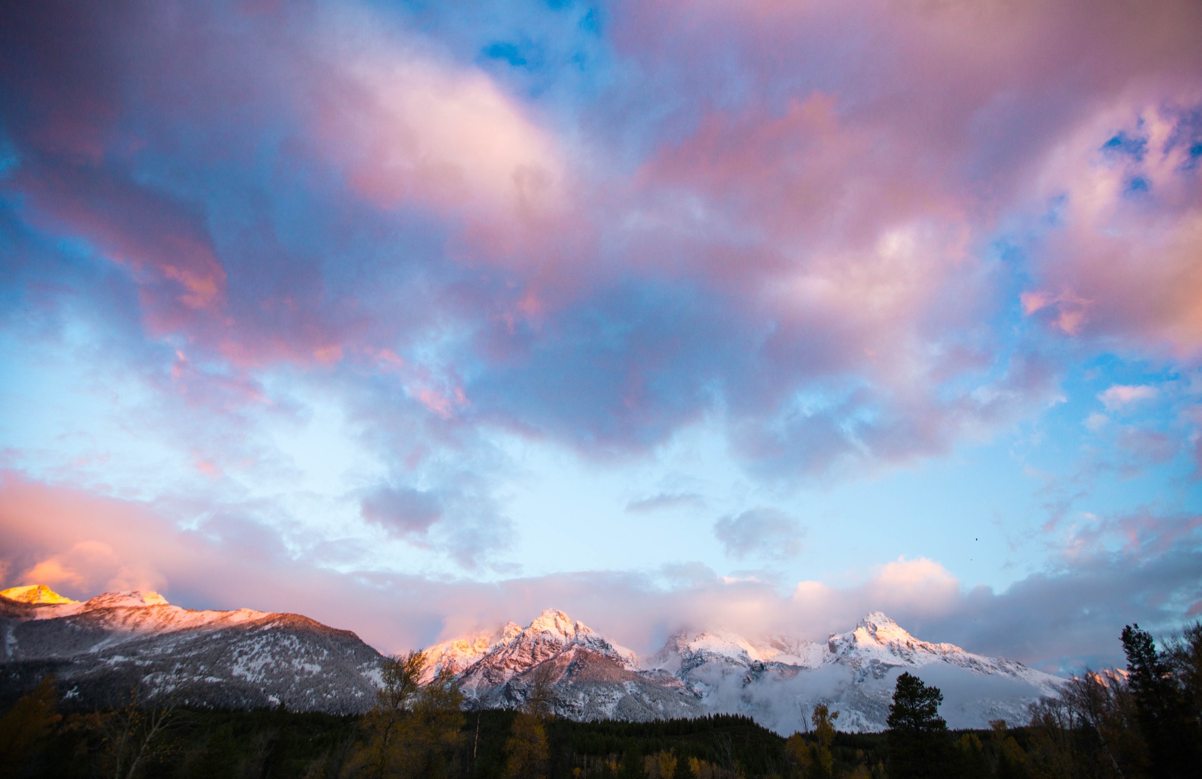
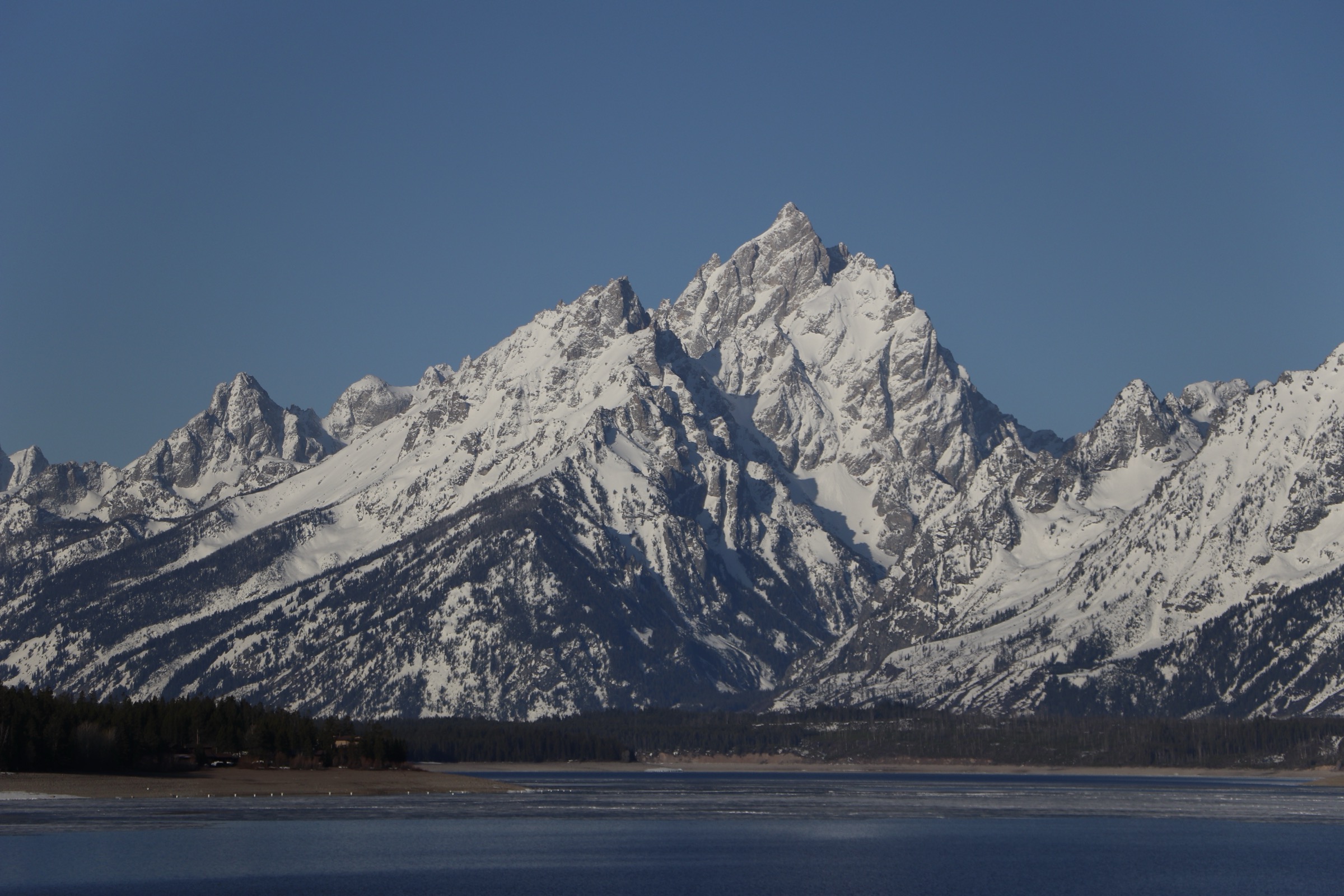
The Teton Range is a young, steep fault-block mountain front rising abruptly above Jackson Hole (Wyoming) to the east and Teton Valley (Idaho) to the west, with no foothills to soften the transition. The eastern flank is protected by Grand Teton National Park, a 310,000-acre unit administered by the National Park Service and centred on the seven peaks of the Cathedral Group — Grand Teton itself at 4,199 m (13,775 ft), Mount Owen, Middle Teton, South Teton, Teewinot, Mount Moran and Nez Perce. The western flank falls within the Jedediah Smith Wilderness, a 123,451-acre unit of the Caribou-Targhee National Forest designated in 1984, and is a slower, quieter approach through subalpine forest, glacial cirques and open wildflower basins.
Access from the east concentrates on a small number of high-use trailheads strung along the Teton Park Road and Moose–Wilson Road: Taggart Lake, Lupine Meadows (for Bradley/Taggart, Amphitheater and Garnet Canyon), String Lake and Jenny Lake (for Cascade and Paintbrush Canyons), and Death Canyon further south. West-side access is via Teton Canyon and Alta, Wyoming, on Forest Service roads out of Driggs, Idaho. The National Park Service publishes trail statistics and closures on its Grand Teton hiking page, and notes that mountain passes may not be snow-free until late July — the Paintbrush and Static Peak divides in particular retain steep snowfields well into summer.
The hiking season is asymmetric. Lower valley routes around Taggart, Bradley and String Lakes are commonly usable from May or early June, once snow leaves the moraine and the road opens fully. High routes — Paintbrush Divide, the Static Peak Divide, Hurricane Pass — need a snow-free window that generally begins in mid- to late July and closes by mid-September when early snow returns. Afternoon thunderstorms are the dominant summer hazard on any exposed ridge or divide, and the standard practice is to be off high ground by early afternoon. Both grizzly and black bears are present through the range; bear spray is expected on any backcountry day, and food handling at trailheads and lunch stops must be strict.
Regulation is stricter inside Grand Teton NP than on the Idaho side. Dogs are not permitted on any trail or in the backcountry of Grand Teton National Park, though they are allowed on some sections of the Caribou-Targhee National Forest and the Jedediah Smith Wilderness under voice or leash control. A park entrance fee applies at the two staffed entrance stations, and the NPS publishes a running list of 2026 road and trail construction closures — this year, sections of the Taggart–Bradley loop and the Death Canyon Trailhead access are affected. Cell coverage is thin above the trailheads and effectively absent above the canyon floors.
For neighbouring ranges in the same broader region, see the sister catalogues on the Cloud Peak Wilderness of the Bighorn Mountains — a granite alpine core three hours to the east — for a longer view of the Wyoming high country in the same season.
Selection rationale
The five routes below sample both flanks of the range and cover a low-elevation lake-view classic, a major high-pass traverse, a steep east-side cirque climb, a west-side summit day, and a long west-slope basin loop. Taggart and Bradley Lakes is the accessible east-side introduction and the walk that most cleanly frames the Cathedral Group from the moraine. Paintbrush–Cascade Canyon is the flagship non-technical high circuit of the park — two glacial canyons linked over a 3,258 m divide. Surprise and Amphitheater Lakes is the direct steep climb from Lupine Meadows to a pair of enclosed alpine tarns under Disappointment Peak. Table Mountain is the signature west-side summit, delivering the closest non-technical view of the Grand Teton massif from the Jedediah Smith side. Alaska Basin is the long west-slope high-country loop that puts the wilderness landscape — meadows, streams, and open subalpine basins — into a single day.
Fort- and technical-mountaineering routes (Garnet Canyon boulder-hop terminus, Static Peak Divide, and any variant that requires steep snow travel outside a settled window) are out of scope for a day-hike catalogue.
Summary
| # | Hike | Trailhead | Route type | Distance | Gain | Max elevation | Difficulty |
|---|---|---|---|---|---|---|---|
| 1 | Taggart and Bradley Lakes loop | Taggart Lake Trailhead | Loop | ~9.3 km | ~234 m | ~2,189 m | Moderate |
| 2 | Paintbrush–Cascade Canyon loop | String Lake Trailhead | Loop | ~31.1 km | ~1,260 m | ~3,258 m | Strenuous |
| 3 | Surprise and Amphitheater Lakes | Lupine Meadows Trailhead | Out-and-back | ~16.6 km | ~918 m | ~2,969 m | Hard |
| 4 | Table Mountain via Face and North Teton | Teton Canyon (Alta, WY) | Loop | ~17.1 km | ~1,263 m | ~3,387 m | Hard |
| 5 | Alaska Basin loop | Teton Canyon (Alta, WY) | Loop | ~26.7 km | ~938 m | ~2,971 m | Hard |
1. Taggart and Bradley Lakes loop
Snapshot
Itinerary
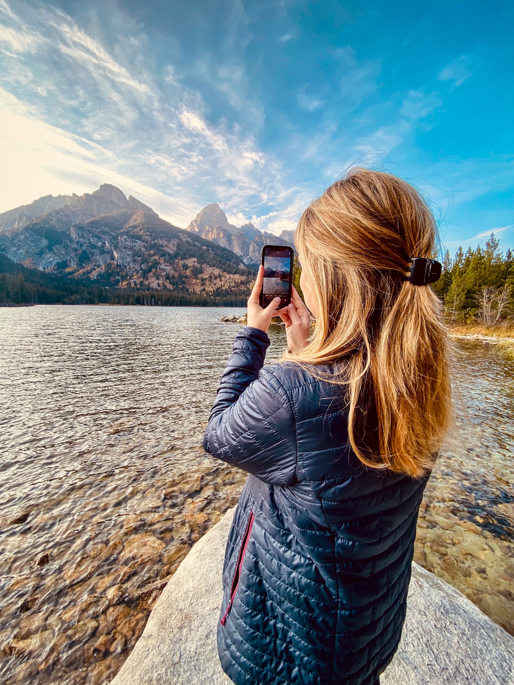
The trail leaves Taggart Lake Trailhead on the Teton Park Road and heads west across the sagebrush flats of the Beaver Creek moraine before climbing gently through lodgepole and aspen into the terminal moraine complex. The junction for the Taggart–Bradley loop sits about 1.5 km in; the standard loop turns south-west to Taggart Lake first, then follows the trail over the low moraine ridge north to Bradley Lake, before descending back to the trailhead via the Bradley Lake stem. Both lakes sit under the direct east face of the central Tetons — Taggart offers the most open view of Grand and Middle Teton across the water, and Bradley sits closer to the mouth of Garnet Canyon with a view up towards Nez Perce.
Under 2026 NPS road and trail construction, part of the Taggart Lake trail network is temporarily affected; the open variant may be a modified out-and-back rather than the full loop. Verify current status at the trailhead kiosk or with the Grand Teton NP construction bulletin before departure.
Why it is essential
Taggart and Bradley is the accessible east-side classic and the walk that most cleanly delivers the Cathedral Group from the moraine — the same view that carries the visual signature of the range in most published imagery. It is the standard first walk on a Teton trip: short enough to fit inside an afternoon and low enough to be usable weeks before the high country opens.
Equipment
- Trail runners or light boots
- Rain jacket and warm layer — afternoon storms build fast off the range
- Water (1.5–2 L)
- Bear spray — grizzly and black bear both present
- Sun and wind protection at the lakes
- No dogs — Grand Teton NP prohibits dogs on trails
Hazards and notes
- Afternoon thunderstorms build off the range on most summer days; walk the loop in the morning.
- Bears are active in the moraine; carry spray and store food properly.
- 2026 NPS construction affects part of the Taggart–Bradley network; verify the open route before departure.
- Trailheads and lakeshores are crowded in July and August; parking fills by mid-morning.
- Lingering snow and mud are possible on the north-facing moraine sections into June.
GPX / route file
| Source | URL | Format | Notes |
|---|---|---|---|
| NPS Grand Teton — hiking page | nps.gov | Web page | Official managing authority |
| NPS Grand Teton — maps | nps.gov | Web page / official maps | Reference geometry |
| AllTrails — Taggart and Bradley Lake | alltrails.com | Web page | Distance and gain cross-check |
Sources
- NPS Grand Teton — hiking
- NPS Grand Teton — 2026 road and trail construction
- AllTrails — Taggart and Bradley Lake loop
2. Paintbrush–Cascade Canyon loop
Snapshot
Itinerary
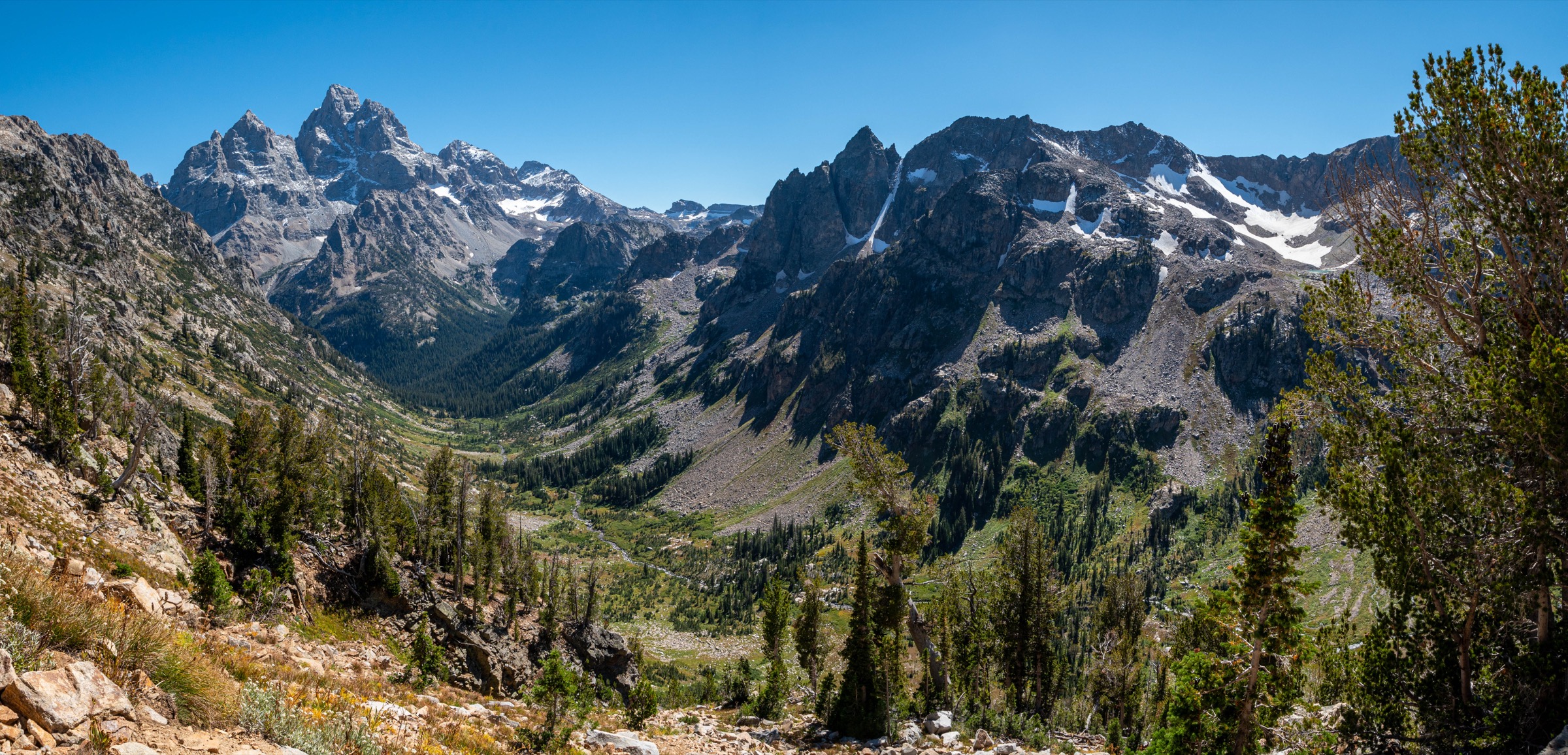
The route leaves String Lake Trailhead and follows the String Lake shore trail north-west before turning up into Paintbrush Canyon. The lower canyon climbs gently through lodgepole and meadow, then steepens on switchbacks past Holly Lake (~2,900 m) — a common turn-around for those not attempting the divide. Above Holly the trail climbs the head of Paintbrush Canyon to Paintbrush Divide at approximately 3,258 m, the high point of the loop. This is the section that most often carries a steep snowfield into late July; walkers arriving in an early or heavy-snow year should carry microspikes and ice axe and be prepared to turn round.
From Paintbrush Divide the trail descends the north side into the North Fork of Cascade Canyon, passing Lake Solitude at approximately 2,760 m — the natural water stop and the most photographed lakeshore in the North Fork. From Lake Solitude the route follows the North Fork south-east to the junction with the South Fork, then descends Cascade Canyon proper past the Hidden Falls / Inspiration Point complex above Jenny Lake. The standard finish is by the Jenny Lake shore trail back to String Lake — many walkers use the seasonal Jenny Lake shuttle boat to shorten the last section, but the through-hike on foot is the reference variant.
Why it is essential
Paintbrush–Cascade is the major non-technical high-pass circuit of Grand Teton National Park — the walk that most cleanly links two classic glacial canyons, a high alpine divide, a signature alpine lake and the range’s front-country lake corridors in a single day. It is the reference long day-hike of the range and the natural benchmark for anyone with the fitness and the settled window to attempt it.
Equipment
- Sturdy mountain boots
- Trekking poles
- Rain jacket, warm layer, hat and gloves — the divide carries cold well into summer
- Water (3–4 L; treat creek water on the descent)
- Sun and wind protection
- Bear spray
- Headtorch (long day; dawn start likely)
- Navigation backup and paper map
- Microspikes and ice axe early in the season if the divide holds snow
- No dogs — Grand Teton NP prohibits dogs on trails
Hazards and notes
- Paintbrush Divide holds steep snow into late July in most years — verify current condition with the NPS backcountry office before departure and be prepared to turn round if the snowfield is icy or unstable.
- Long, exposed section above treeline for 6–8 km; storms after early afternoon are dangerous.
- Bears — both grizzly and black — are active in Paintbrush and Cascade Canyons; carry spray and hike in a group where possible.
- Trailhead parking at String Lake fills early; arrive by dawn in July and August.
- The final section by Jenny Lake can be shortened by the seasonal shuttle boat — verify current schedule and price with the concessioner if planning around it.
GPX / route file
| Source | URL | Format | Notes |
|---|---|---|---|
| NPS Grand Teton — hiking page | nps.gov | Web page | Official managing authority |
| NPS Grand Teton — backcountry map | nps.gov | Official map image | Reference geometry |
| AllTrails — Paintbrush Canyon to Cascade Canyon Loop | alltrails.com | Web page | Distance and gain cross-check |
Sources
3. Surprise and Amphitheater Lakes
Snapshot
Itinerary
The trail leaves Lupine Meadows Trailhead at approximately 2,050 m and heads south-west across the sagebrush apron below Teewinot before turning up into the forest. The lower section climbs steadily through lodgepole with occasional openings, then reaches a signed junction at approximately 5 km — the left branch continues toward Garnet Canyon and the climber approaches to Grand Teton, and the right branch begins the long switchback climb toward Surprise and Amphitheater. The switchbacks are the defining section of the day: sustained, exposed to sun and wind above Bradley and Taggart Lakes, with a steady view east across Jackson Hole.
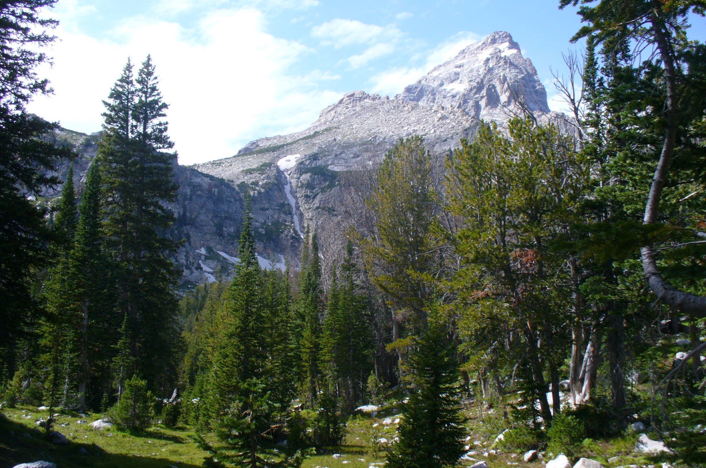
The trail reaches Surprise Lake first, a small tarn tucked into a shelf below Disappointment Peak at approximately 2,930 m, and continues a short distance north to Amphitheater Lake at approximately 2,969 m — the larger, more open of the two, sitting in an enclosed cirque under the Grand Teton–Disappointment Peak connecting ridge. The return follows the same line back to Lupine Meadows.
Why it is essential
This is the direct steep climb from the valley floor to the alpine on the east side of the range — the walk that most cleanly delivers the full altitudinal gain of the Tetons in a single push. Amphitheater Lake sits in one of the most enclosed cirque settings accessible on a day hike, and the descent line above Bradley Lake gives one of the widest continuous views east across Jackson Hole.
Equipment
- Sturdy boots
- Trekking poles for the descent
- Rain jacket, warm layer and hat for the upper cirque
- Water (3 L; no reliable on-route source below the lakes)
- Sun and wind protection — long exposed switchbacks
- Bear spray
- Microspikes if snow lingers on shaded upper switchbacks (early July)
- No dogs — Grand Teton NP prohibits dogs on trails
Hazards and notes
- Sustained climb of ~900 m; sun exposure on the switchbacks is significant.
- Afternoon thunderstorms concentrate on the cirque; start early and be off the upper bench by early afternoon.
- Bears active in the lower forest and around the lakes.
- Trailhead parking fills by dawn in July and August.
- The Garnet Canyon branch continues to steeper technical terrain that is out of scope for a day-hike catalogue.
GPX / route file
| Source | URL | Format | Notes |
|---|---|---|---|
| NPS Grand Teton — hiking page | nps.gov | Web page | Official managing authority |
| Wikimedia Commons — Lupine Meadows trail topo map (NPS) | commons.wikimedia.org | Official topo map image | Reference geometry |
| AllTrails — Surprise and Amphitheater Lakes | alltrails.com | Web page | Distance and gain cross-check |
Sources
- NPS Grand Teton — hiking
- AllTrails — Surprise and Amphitheater Lakes
- Wikimedia Commons — NPS Lupine Meadows trail topo map
4. Table Mountain via Face and North Teton
Snapshot
Itinerary
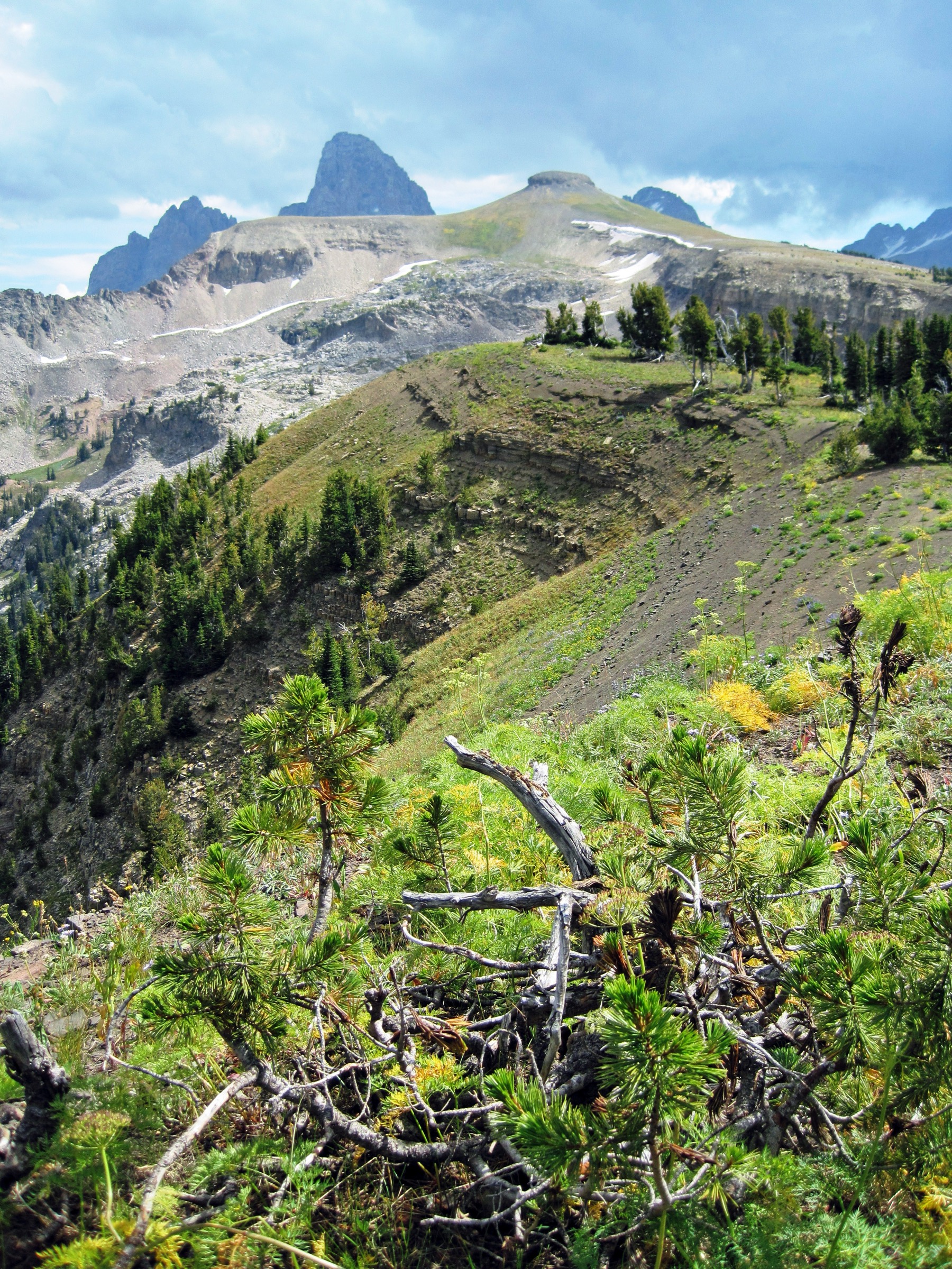
The route leaves the Teton Canyon trailhead area near Alta and climbs the steep Face Trail on the west side of the mountain — a direct line up open subalpine and alpine slopes, gaining most of the day’s elevation in the first half of the climb. The summit of Table Mountain sits close to the Grand Teton National Park boundary at approximately 3,387 m and gives the closest non-technical west-side view of the Grand Teton, Middle Teton and Mount Owen — the whole east ridge of the Cathedral Group rising directly out of Cascade Canyon on the far side of a narrow valley.
The descent uses the longer, gentler North Teton Trail, dropping through open meadow and forest back into Teton Canyon and closing the loop at the trailhead area. The loop configuration is the standard variant — the Face Trail as an out-and-back is punishing on the descent, and the North Teton return keeps grades manageable.
Why it is essential
Table Mountain is the signature west-side Teton summit day and the walk that most cleanly delivers a close view of the Cathedral Group from the Jedediah Smith side. It is the natural counterpart to the east-side Amphitheater Lake climb: the same range from the opposite flank, without the park entrance fee, without the crowds of Lupine Meadows, and with a summit vantage that most visitors to the range never reach.
Equipment
- Sturdy mountain boots
- Trekking poles
- Rain jacket, warm layer, hat and gloves for the summit
- Water (3 L; treat creek water on the descent)
- Sun and wind protection — most of the climb is above treeline
- Bear spray — grizzly presence in the Jedediah Smith Wilderness
- Headtorch
- Navigation backup
- Microspikes early in the season for lingering snow on the upper Face Trail
Hazards and notes
- The Face Trail is steep and sustained, with scree and short scrambling near the top; wet or icy conditions turn it serious.
- Afternoon thunderstorms on the exposed summit ridge — start early.
- Bears active in Teton Canyon; carry spray.
- Dogs may be permitted in the Jedediah Smith Wilderness under voice or leash control, but not inside Grand Teton National Park; keep dogs off the summit ridge if it crosses the park boundary.
- Access is via Forest Service roads out of Alta / Driggs, Idaho; roads open after snowmelt and can be rough in early season.
GPX / route file
| Source | URL | Format | Notes |
|---|---|---|---|
| USFS — Caribou-Targhee National Forest | fs.usda.gov | Web page | Official managing authority |
| AllTrails — Table Mountain via Face and North Teton | alltrails.com | Web page | Distance, gain and route cross-check |
Sources
5. Alaska Basin loop
Snapshot
Itinerary
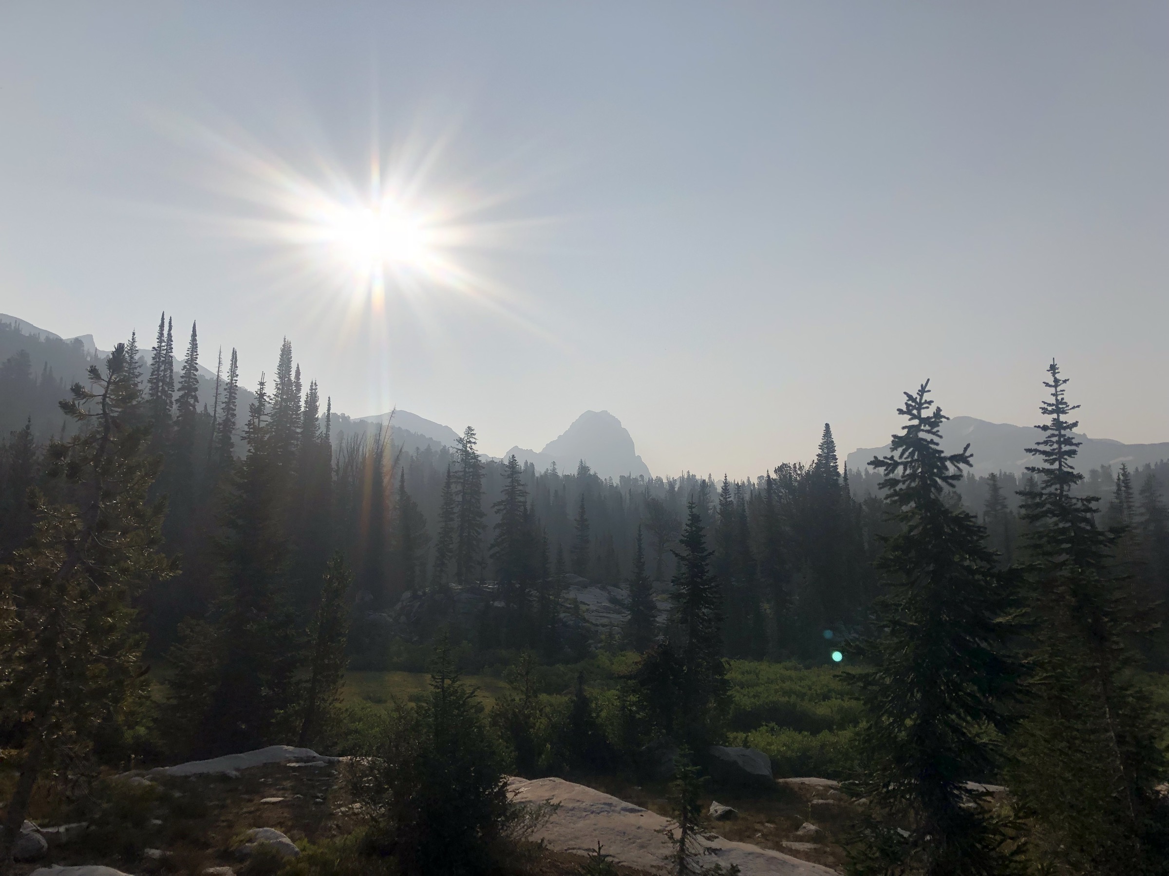
The route leaves the Teton Canyon / Alaska Basin trailhead area above Treasure Mountain Scout Camp and climbs on the west-side Teton Canyon trail through mixed spruce–fir forest. The approach follows the canyon floor for several kilometres before climbing more steeply into the Alaska Basin proper — a broad, open, meadowed basin studded with tarns and streams and framed by the west wall of the Teton crest. The loop variant uses the maintained west-side trail system to link the approach with a parallel return, keeping the walk within Caribou-Targhee National Forest and Jedediah Smith Wilderness for the full day.
The upper basin is the visual centrepiece — open subalpine tundra with a broad view of the west face of the Grand Teton and the connecting ridges — and the natural lunch stop. From the high point of the loop the route descends through meadow and forest back to the trailhead. Some variants continue east over Hurricane Pass into the South Fork of Cascade Canyon in Grand Teton NP, but the through-hike crosses the park boundary and adds substantial mileage; it is not treated as a single-day route here.
Why it is essential
Alaska Basin is the defining west-slope high-country landscape of the Teton Range — broad, meadowed, lake-and-basin terrain that reads as the direct counterpart to the steeper glacial canyons on the east side. It is the walk that most cleanly frames the Jedediah Smith Wilderness on its own terms rather than as an approach to something in the park.
Equipment
- Sturdy mountain boots
- Trekking poles
- Rain jacket, warm layer, hat and gloves — basin nights and mornings stay cold
- Water (3–4 L or reliable treatment for stream water)
- Sun and wind protection — much of the day is above treeline
- Bear spray — grizzly presence
- Headtorch (long day; dawn start likely)
- Navigation backup
- Emergency shelter (bivvy bag) for the length of the day
Hazards and notes
- Long, remote day for a single-day walk; limited quick-exit options once the basin is reached.
- Snowfields and wet trail persist into late June in cool years — verify current condition with the Caribou-Targhee ranger district before departure.
- Stream crossings can run high after snowmelt and thunderstorms.
- Thunderstorm exposure across the open basin.
- Dogs may be permitted on National Forest and Wilderness sections but are not allowed on GTNP trails; confirm rules for any variant that crosses the park boundary.
- Access roads out of Alta / Driggs open after snowmelt and can be rough early in the season.
GPX / route file
| Source | URL | Format | Notes |
|---|---|---|---|
| USFS — Caribou-Targhee National Forest | fs.usda.gov | Web page | Official managing authority |
| AllTrails — Alaska Basin Trail | alltrails.com | Web page | Distance, gain and route cross-check |
Sources
Region-level sources
| Source | URL |
|---|---|
| NPS Grand Teton National Park — hiking | nps.gov |
| NPS Grand Teton — maps | nps.gov |
| NPS Grand Teton — 2026 road and trail construction | nps.gov |
| NPS Grand Teton — backcountry map | nps.gov |
| USFS — Caribou-Targhee National Forest | fs.usda.gov |
| Wikipedia — Grand Teton National Park | en.wikipedia.org |
| Wikipedia — Jedediah Smith Wilderness | en.wikipedia.org |
Further reading
- Cloud Peak Wilderness — essential day-hikes — the granite alpine core of the Bighorn Mountains, three hours east across the Wyoming basin
Missing data / follow-up work
- No official downloadable GPX or KML files were located for any of the five routes; route geometry can be exported from OpenStreetMap or CalTopo.
- The Taggart / Bradley statistics describe the normal loop; the 2026 NPS construction may require a modified out-and-back and needs local confirmation at the trailhead.
- The Paintbrush–Cascade timing (9–12 h) is approximate and depends heavily on divide snow conditions.
- Table Mountain summit elevation varies between GPS route maximum (~3,374 m) and the most commonly mapped summit elevation (~3,387 m); both are quoted.
- Public transport access to trailheads was not verified for the 2026 season.
- Current snow, road, trailhead, bear and construction conditions need same-week confirmation before travel; the NPS Grand Teton backcountry office and the Caribou-Targhee ranger district office are the reference sources.