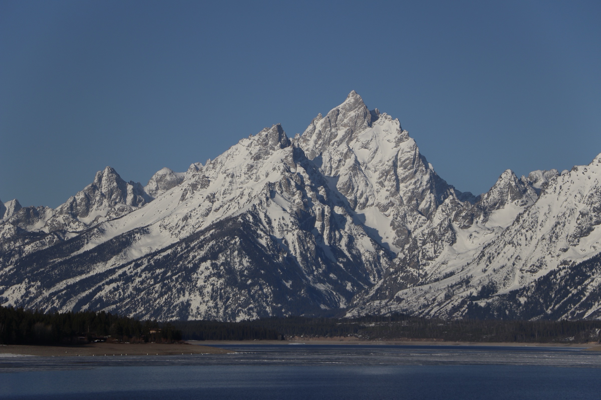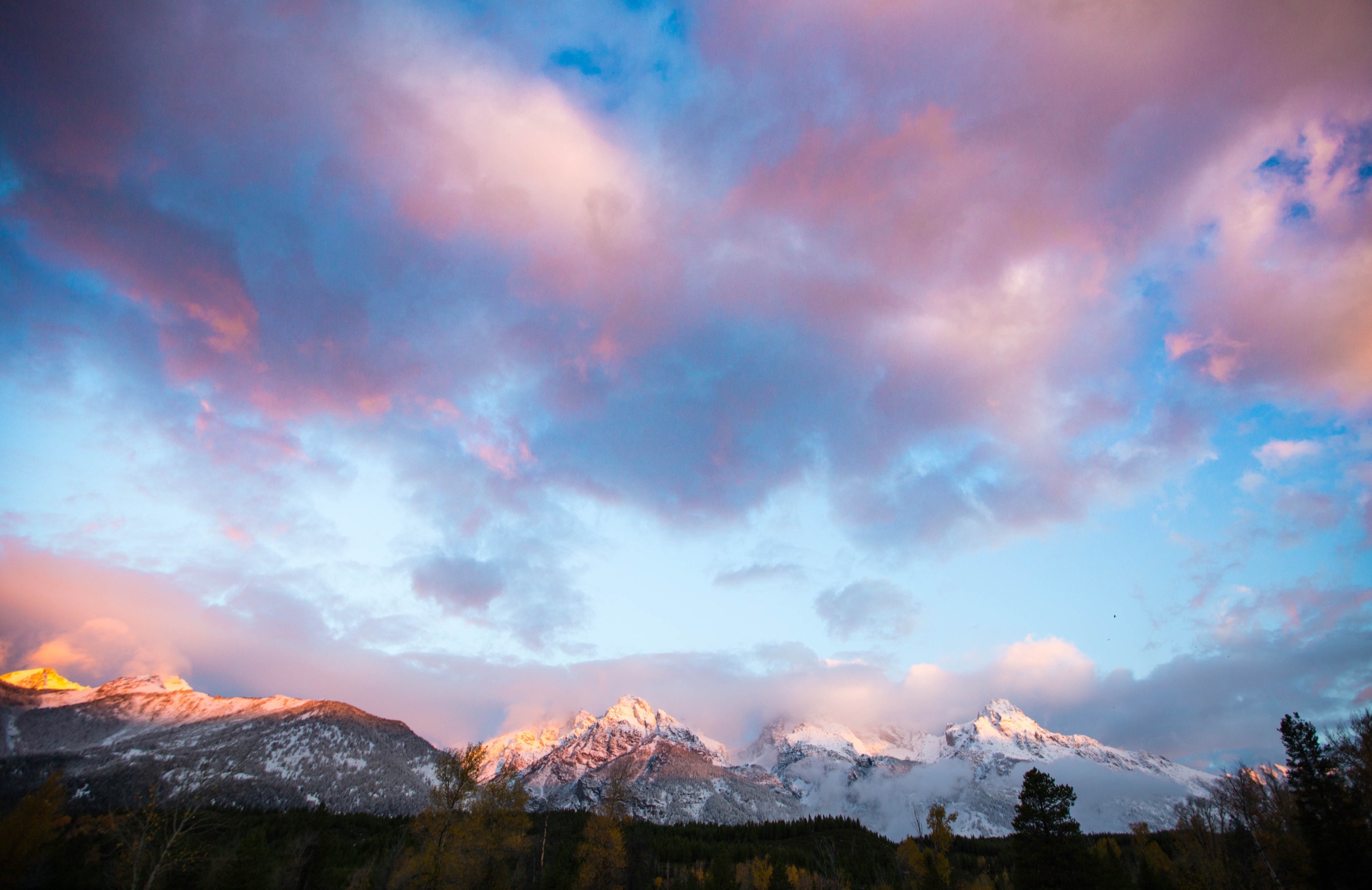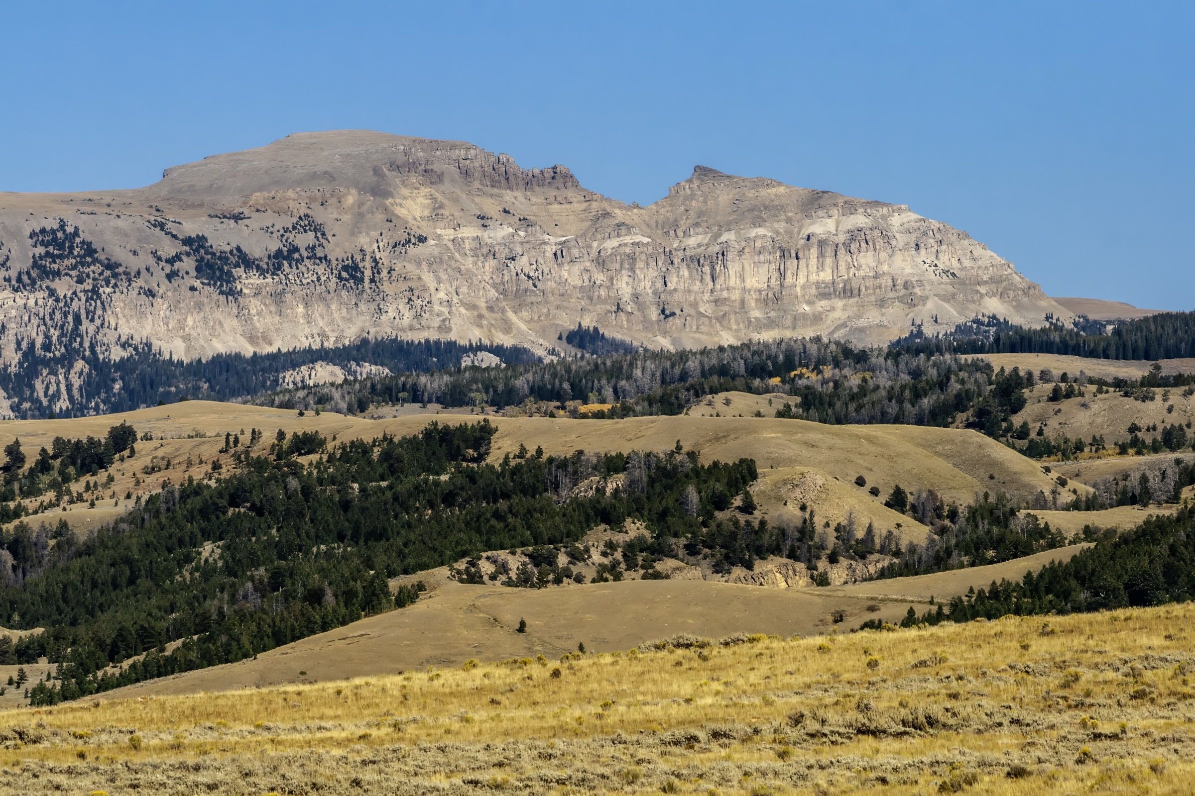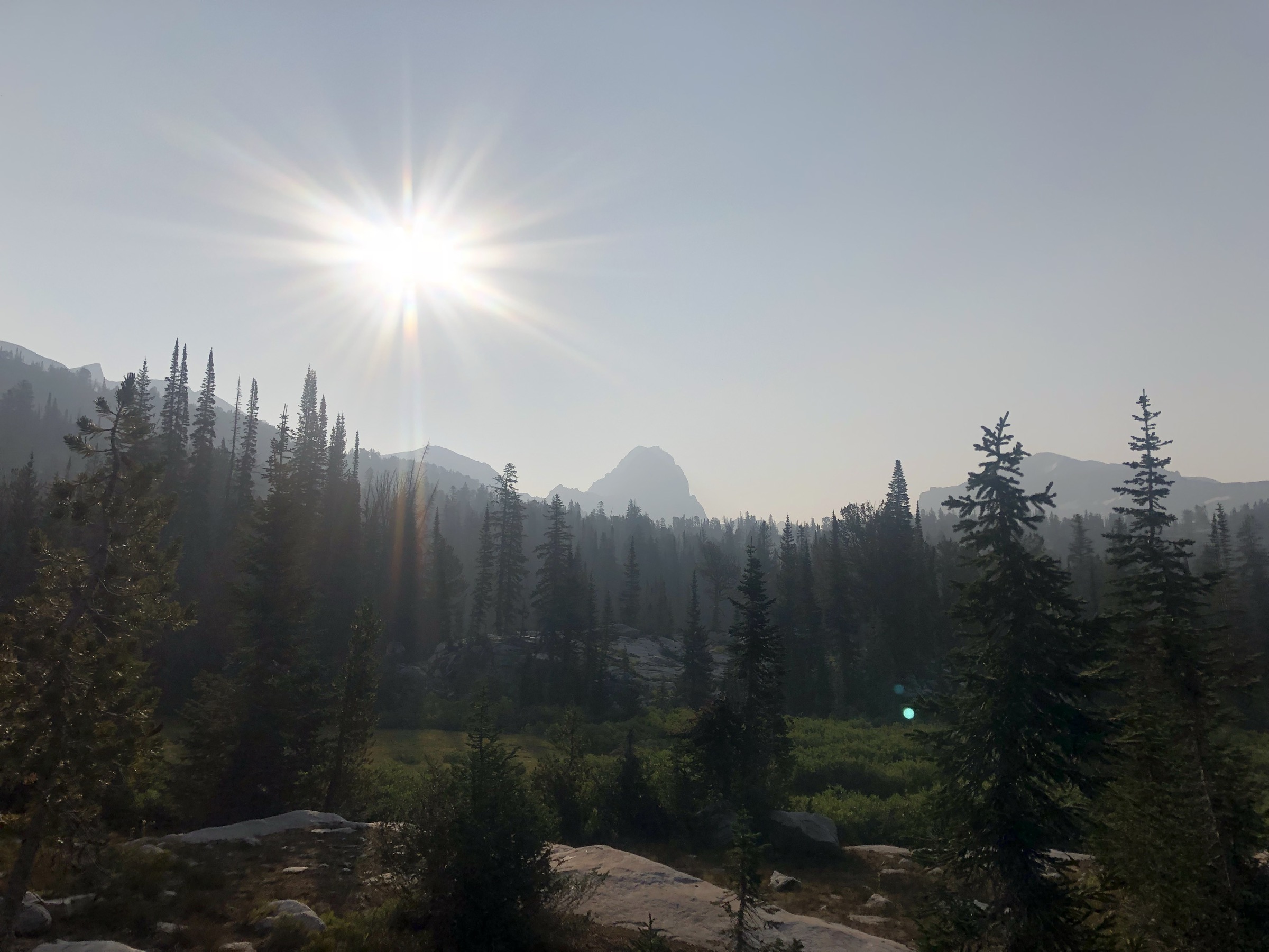
Regional overview
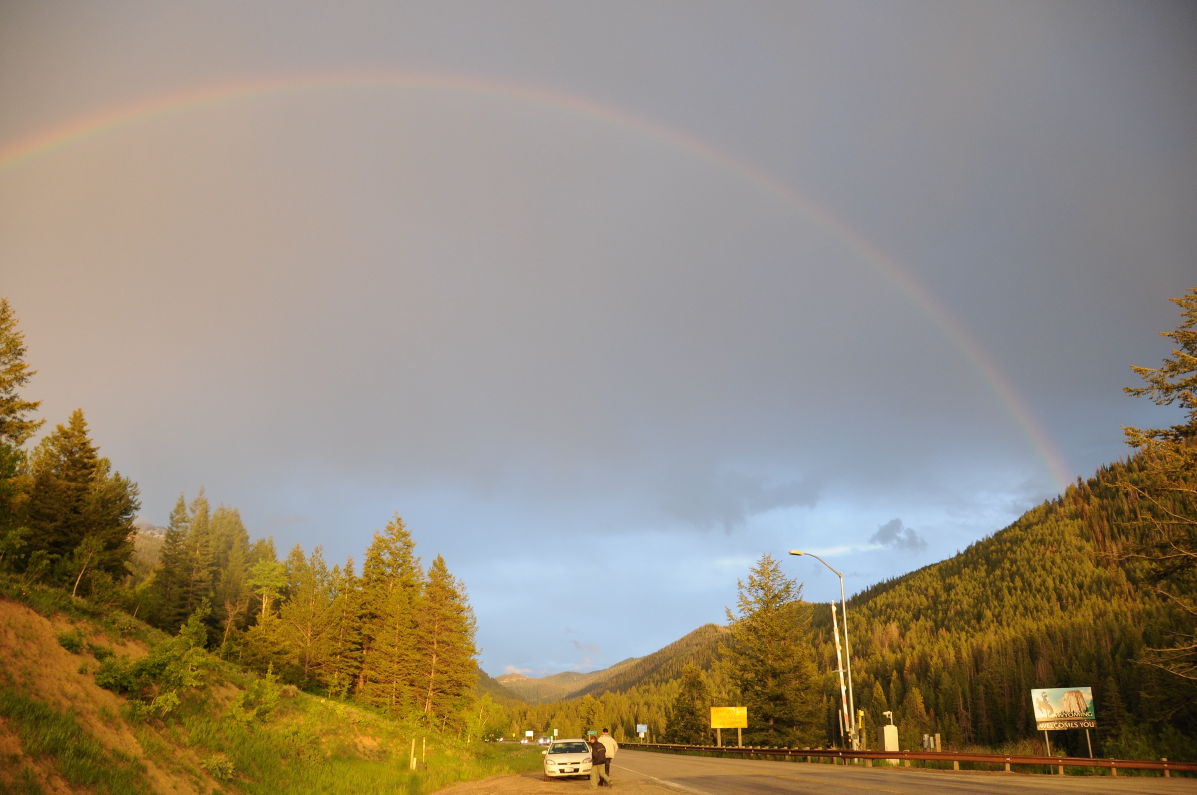
The Teton Pass and southern Tetons sector covers the steep WY-22 pass country between Wilson and Victor, together with the southern trail system of Grand Teton National Park around Phelps Lake, Granite Canyon, Teton Village and the Moose–Wilson Road. The walking character is high, abrupt and short-season: brutally direct pass summits, flower-rich forest–meadow routes into the west-side Teton foothills, and national-park canyon and lake trails with serious bear, weather and parking considerations. The Teton Pass side is administered by the Bridger–Teton National Forest (east of the pass) and the Caribou–Targhee National Forest (west of the pass, with the Jedediah Smith Wilderness on the Teton crest); the Phelps Lake and Granite Canyon routes sit inside Grand Teton National Park, with Phelps Lake specifically inside the Laurance S. Rockefeller Preserve.
Current 2026 access context checked on 2026-07-13. Grand Teton’s hiking page notes that Death Canyon Trailhead is closed for 2026 construction, that mountain trails and passes may hold snow into late July, that dogs are not allowed on park trails, and that parking fills early at busy trailheads including Granite Canyon. The park’s current-conditions page, last updated 2026-06-24, lists Death Canyon Road and Trailhead closed to all use, Moose–Wilson Road between the LSR Preserve and Moose open 19 June – 7 September with delays of 45 minutes or more, and active bear and fire-weather precautions. The NPS fees page confirms that Grand Teton requires an entrance fee but does not require vehicle reservations. Recheck all three pages before travel.
The reliable snow-free walking season on the pass summits and the Granite Canyon interior is mid-July to mid-September; the LSR Preserve / Phelps Lake loop typically opens with the road on 19 June and closes on 7 September in 2026. Afternoon thunderstorms are the dominant summer risk on exposed ridges and canyon mouths. The whole sector sits in grizzly-bear country: carry spray, follow food-storage rules, and expect to share trails with moose and — on the west-side Teton Pass routes — mountain bikes on the multi-use system.
See also: Jedediah Smith Wilderness · Gros Ventre Mountains, Wyoming.
Selection rationale
The five walks below cover the defining southern Teton experiences. Mount Glory is the compact, brutally steep Teton Pass summit. Mount Elly / Black Canyon Overlook is the gentler pass-ridge alternative south of WY-22. Coal Creek Meadows represents the west-side wildflower and pass-divide walking of the Jedediah Smith Wilderness edge. Phelps Lake Loop anchors the LSR Preserve — the current preferred southern Phelps route now that Death Canyon Trailhead is closed. Granite Canyon Trail closes the set with the southern Tetons’ classic national-park canyon approach. Death Canyon–based routes were deliberately excluded from this catalogue because the 2026 NPS closure removes their normal access. This article is a sister catalogue to the Grand Teton and Jedediah Smith Wilderness essential day-hikes covering the Cathedral-Group flank and the west-side Jedediah Smith routes.
Summary table
| # | Hike | Country | Route type | Distance | Gain | Max elevation | Difficulty |
|---|---|---|---|---|---|---|---|
| 1 | Mount Glory from Teton Pass | USA | Out-and-back | 2.9 km | 491 m | 3,075 m | Strenuous |
| 2 | Mount Elly / Black Canyon Overlook | USA | Out-and-back | 6.3 km | 248 m | 2,821 m | Moderate |
| 3 | Coal Creek Meadows / Coal–Mesquite Divide | USA | Out-and-back | 9.0 km | 593 m | 2,806 m | Hard |
| 4 | Phelps Lake, Lake Creek and Woodland Loop | USA | Loop | 10.8 km | 185 m | 2,075 m | Moderate |
| 5 | Granite Canyon Trail | USA | Out-and-back | 21.1 km | 592 m | 2,474 m | Hard |
1. Mount Glory from Teton Pass
Snapshot
Itinerary
From the Teton Pass parking area, cross WY-22 to the obvious steep path on the north side of the road. The trail climbs almost directly through forest and open slope to a false-summit shoulder with old communications equipment, then continues a short distance to Mount Glory’s high point. Return the same way.
Why it is essential
Mount Glory is the compact Teton Pass classic: an uncompromisingly steep one-to-two-hour climb with immediate views over Jackson Hole, the Snake River Range, the Teton crest and the Gros Ventre skyline. It is the archetypal short-and-brutal summit day on the pass.
Equipment
- Sturdy hiking shoes and trekking poles — mostly for the descent
- Wind and rain shell plus a warm layer for the summit
- Sun hat, high-SPF sunscreen and sunglasses
- 1.5–2 L water
- Bear spray
- Offline map and GPS
Hazards and notes
- Very steep and heavily eroded path; loose gravel is a real slip and rockfall risk.
- Highway crossing from the parking area — treat WY-22 with care.
- Unofficial / unmaintained trail status per AllTrails; expect no signage.
- Exposure to wind, lightning and sudden storms on the summit shoulder.
- Snow can persist into July and changes the route into a snow-travel outing.
GPX / route file
| Source | URL | Format | Notes |
|---|---|---|---|
| AllTrails — Glory Peak | alltrails.com | Web page | Distance and elevation cross-check only — proprietary geometry, do not reuse |
| TetonHikingTrails — Mount Glory | tetonhikingtrails.com | Web page | Copyrighted guide — use facts with attribution; images not reusable |
Sources
2. Mount Elly / Black Canyon Overlook
Snapshot
Itinerary
From Teton Pass, take the Black Canyon Trail south along Pass Ridge toward the “Howdy Stranger / Jackson Hole” sign area, then continue past the service-road junction and communications towers to the signed overlook on Mount Elly. The route returns to Teton Pass by the same ridge path.
Why it is essential
This is the gentler Teton Pass balcony, trading Mount Glory’s relentless grade for open ridgeline views over Jackson Hole, the Gros Ventre Range, Black Canyon and the Snake River Range. It is the most panoramic short walk on the pass that does not demand a summit push.
Equipment
- Hiking shoes; poles useful for loose or muddy sections
- Sun hat, high-SPF sunscreen and sunglasses — the ridge is fully exposed
- Wind and light rain layer
- 2 L water
- Bear spray
- Offline map and GPS
Hazards and notes
- Narrow trail sections with some steep drop-offs near the start.
- Shared with mountain bikes — expect fast oncoming traffic on the descent.
- High sun and wind exposure across the ridge.
- Afternoon thunderstorm risk from July into September.
- Grizzly-bear presence documented on the forest side; carry spray.
GPX / route file
| Source | URL | Format | Notes |
|---|---|---|---|
| AllTrails — Mount Elly | alltrails.com | Web page | Distance and elevation cross-check only — proprietary geometry, do not reuse |
| TetonHikingTrails — Black Canyon Overlook | tetonhikingtrails.com | Web page | Copyrighted guide — use facts with attribution; images not reusable |
Sources
3. Coal Creek Meadows / Coal–Mesquite Divide
Snapshot
Itinerary
From the Coal Creek Trailhead, cross near the parking area and follow the Coal Creek Trail through forest into the lower and upper meadows below Taylor Mountain and Mount Glory. The catalogue route continues to Coal–Mesquite Divide for wider views toward the Grand Teton, Rendezvous Mountain and the surrounding west-side Teton basins, then returns the same way.
Why it is essential
Coal Creek gives the Teton Pass west side its representative meadow-and-divide hike: wildflowers, aspen, creek travel and a direct connection toward the Teton Crest / Jedediah Smith Wilderness landscape. It is the natural companion to the Pass Ridge overlook routes on the east side of the highway.
Equipment
- Hiking shoes or boots
- Rain and wind layer plus a warm layer
- Sun protection and 2 L water
- Insect repellent for summer mosquitoes
- Bear spray
- Offline map and GPS
- Trekking poles for creek crossings and the descent
Hazards and notes
- Creek crossings can be significant in early season.
- Muddy and horse-impacted tread on the lower trail.
- Route confusion possible near the trailhead crossing — carry GPS.
- Afternoon storms and lightning on the divide.
- Full grizzly-bear country on the west side of the pass.
GPX / route file
| Source | URL | Format | Notes |
|---|---|---|---|
| AllTrails — Coal Creek Meadows | alltrails.com | Web page | Distance and elevation cross-check only — proprietary geometry, do not reuse |
| TetonHikingTrails — Coal Creek Meadows | tetonhikingtrails.com | Web page | Copyrighted guide — use facts with attribution; images not reusable |
Sources
- Caribou–Targhee National Forest
- AllTrails — Coal Creek Meadows
- TetonHikingTrails — Coal Creek Meadows
4. Phelps Lake, Lake Creek and Woodland Loop
Snapshot
Itinerary
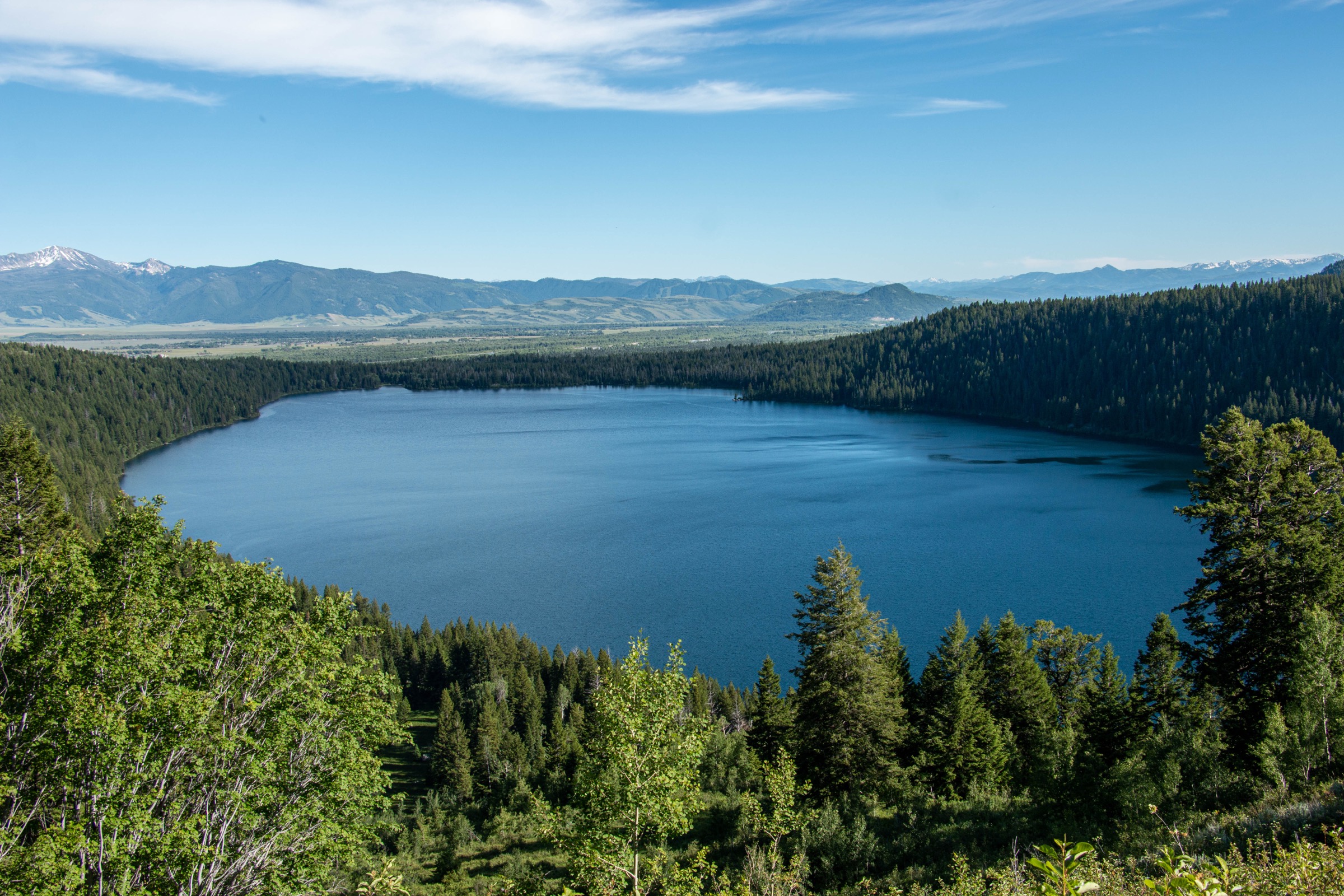
From the LSR Preserve visitor centre, follow the Woodland Trail and Lake Creek Trail system to the south shore of Phelps Lake, then complete the shoreline loop with views toward Death Canyon, Albright Peak and Huckleberry Point. Return via the Lake Creek side of the loop back to the visitor centre. This is the current preferred southern Phelps route because Death Canyon Trailhead is closed in 2026.
Why it is essential
Phelps Lake is the signature lower-elevation southern Teton lake: reachable without using the closed Death Canyon Trailhead, scenic from multiple shore points, and a good representative of the LSR Preserve’s forest, creek, lake and wildlife habitat. It is the strongest short-day objective on the Moose–Wilson corridor while the higher access is out of use.
Equipment
- Hiking shoes
- Rain and wind layer
- Sun protection and 2 L water
- Insect repellent for summer mosquitoes
- Bear spray — this is active bear and moose habitat
- Offline map and GPS
Hazards and notes
- Active bear and moose habitat; keep distance and follow NPS wildlife guidance.
- Dogs are not allowed on Grand Teton trails.
- LSR parking is small and fills early — arrive at opening or plan a mid-week visit.
- Moose–Wilson Road carries delays of 45 minutes or more in 2026.
- Slippery lakeshore rocks near the popular swimming spot.
GPX / route file
| Source | URL | Format | Notes |
|---|---|---|---|
| NPS Grand Teton — hike page | nps.gov | Web page | Official land manager; park-wide rules and Death Canyon closure |
| NPS Grand Teton — current conditions | nps.gov | Web page | Recheck for road, closure, fire and bear context before travel |
| AllTrails — Phelps Lake, Lake Creek and Woodland Loop | alltrails.com | Web page | Distance and elevation cross-check only — proprietary geometry, do not reuse |
| TetonHikingTrails — Phelps Lake Loop | tetonhikingtrails.com | Web page | Copyrighted guide — use facts with attribution; images not reusable |
Sources
- NPS Grand Teton — hiking
- NPS Grand Teton — current conditions
- NPS Grand Teton — fees
- AllTrails — Phelps Lake, Lake Creek and Woodland Loop
5. Granite Canyon Trail
Snapshot
Itinerary
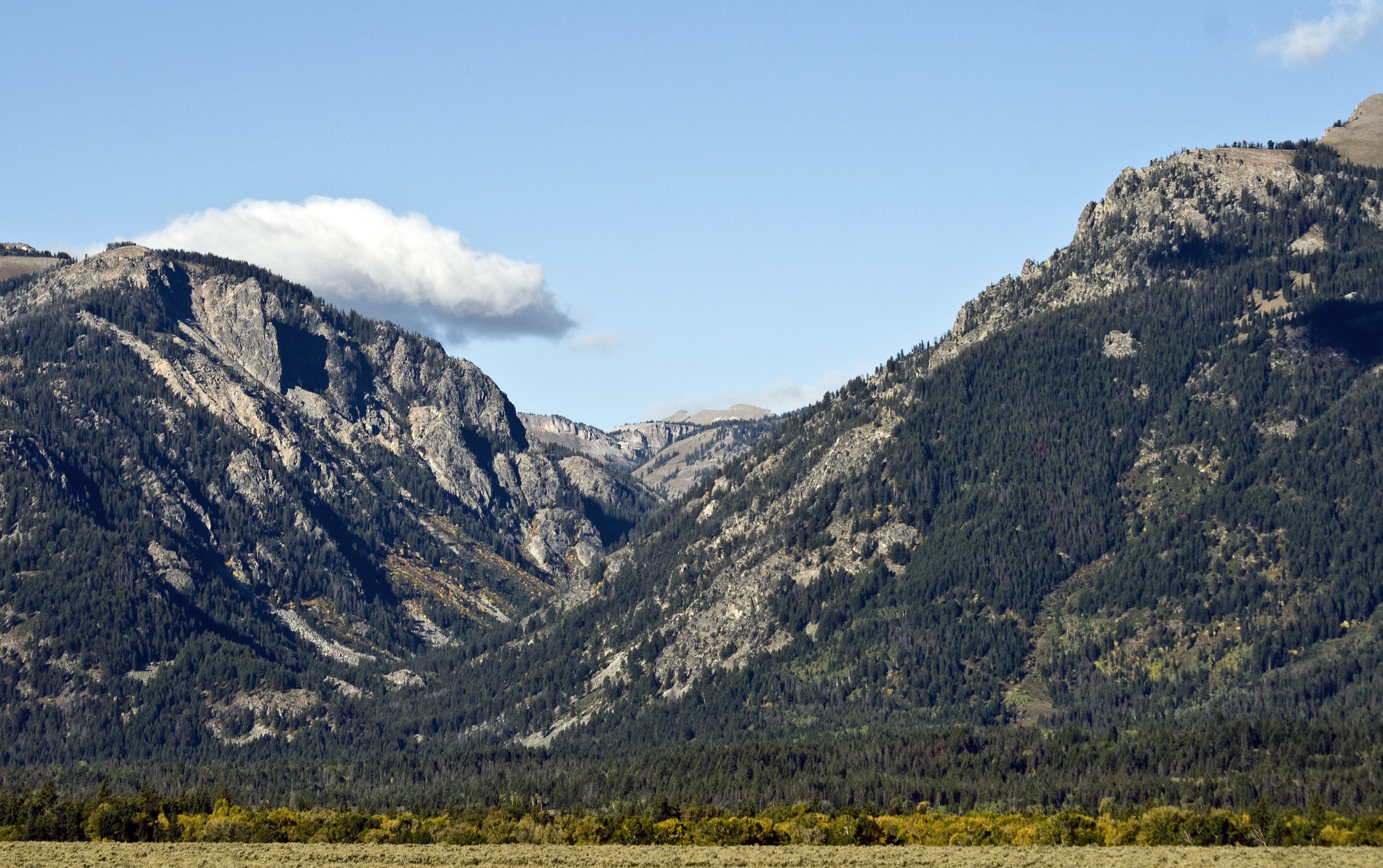
From Granite Canyon Trailhead, follow the signed trail west and north into Granite Canyon, moving through forest, willow flats, creekside openings and lower-canyon views. The catalogue version treats the AllTrails out-and-back as the primary route. A tram-assisted traverse from Rendezvous Mountain is a known variant described by TetonHikingTrails, but current tram operation and ticketing were not fully verified in this pass.
Why it is essential
Granite Canyon is the southern Tetons’ classic national-park canyon approach: less famous than Cascade or Death Canyon, but highly representative of the range’s canyon walking and the best long day out from the Teton Village / Moose–Wilson side. It is also the strongest big-day option in this catalogue that does not require the closed Death Canyon access.
Equipment
- Hiking shoes or boots
- Rain shell and warm layer for the upper canyon
- Sun protection and 2.5–3 L water
- Full food for a 6+ hour day
- Bear spray — active bear and moose habitat
- Offline map and GPS
- Headtorch for a long day
Hazards and notes
- Long distance on rocky tread — plan the descent daylight envelope carefully.
- Bear and moose habitat throughout; make noise on blind corners.
- Possible high water and mud on early-season creek crossings.
- Rapidly changing weather; limited cell service.
- Dogs are not allowed on Grand Teton trails.
- Granite Canyon parking fills early — arrive at first light or plan a Moose–Wilson delay.
GPX / route file
| Source | URL | Format | Notes |
|---|---|---|---|
| NPS Grand Teton — hike page | nps.gov | Web page | Park-wide rules, snow, parking and no-dogs context |
| NPS Grand Teton — current conditions | nps.gov | Web page | Recheck for current construction and road context |
| AllTrails — Granite Canyon Trail | alltrails.com | Web page | Distance and elevation cross-check only — proprietary geometry, do not reuse |
| TetonHikingTrails — Granite Canyon (tram variant) | tetonhikingtrails.com | Web page | Copyrighted guide — useful for alternate-route context; tram operations not verified |
Sources
- NPS Grand Teton — hiking
- NPS Grand Teton — current conditions
- AllTrails — Granite Canyon Trail
- TetonHikingTrails — Granite Canyon
Routes excluded as out of scope
- Death Canyon Trail and Static Peak Divide — normally central to the southern Teton day-hike selection, but excluded because Death Canyon Road and Trailhead are closed to all use in 2026 per current NPS conditions. Reinstate once the trailhead reopens.
- Rendezvous Mountain tram-top routes — dependent on the aerial-tram operating schedule and ticketing at Jackson Hole Mountain Resort; treated as a variant of the Granite Canyon entry rather than a standalone selection until tram operation is re-verified.
- Multi-day Teton Crest Trail sections — outside the day-hike envelope of this catalogue and covered separately in the crest-focused sister articles.
Further reading
- Grand Teton and Jedediah Smith Wilderness — essential day-hikes — the Cathedral-Group flank of the same range, covering Taggart-Bradley, Paintbrush-Cascade, Surprise/Amphitheater, Table Mountain and Alaska Basin.
- Yellowstone Plateau — essential day-hikes — the volcanic tableland an hour north down the John D. Rockefeller Jr. Memorial Parkway.
- Gallatin Range — essential day-hikes — the plateau’s north-west shoulder in Montana and northern Yellowstone.
Missing data / follow-up work
- No official downloadable GPX or KML was retrieved for any of the five routes; all route statistics rely on AllTrails structured records checked 2026-07-13, with TetonHikingTrails as a secondary cross-check where available.
- Additional route photography would strengthen the pass-summit and west-side sections. A Teton Pass sign context image (“Yonder Lies Jackson Hole” by Dhtrible, CC BY-SA 3.0) and a moose at Phelps Lake image (aoiaio, CC BY 3.0) are both open-licence but sit below the site’s 2400 px long-edge floor; treat as candidates only if a larger source can be located. A Granite Canyon South Fork NPS public-domain image is available but is currently only 766 px wide, so it is not embedded here.
- Rendezvous Mountain aerial-tram operation and ticketing should be re-verified before publishing any tram-assisted Granite Canyon variant.
- Death Canyon Trailhead 2026 closure status should be rechecked against NPS current conditions before travel and before adding Death Canyon routes back into the catalogue.
- The Custer Gallatin-style Bridger–Teton food-storage / bear alert language should be cross-checked directly against the current Bridger–Teton alerts page.