Regional overview
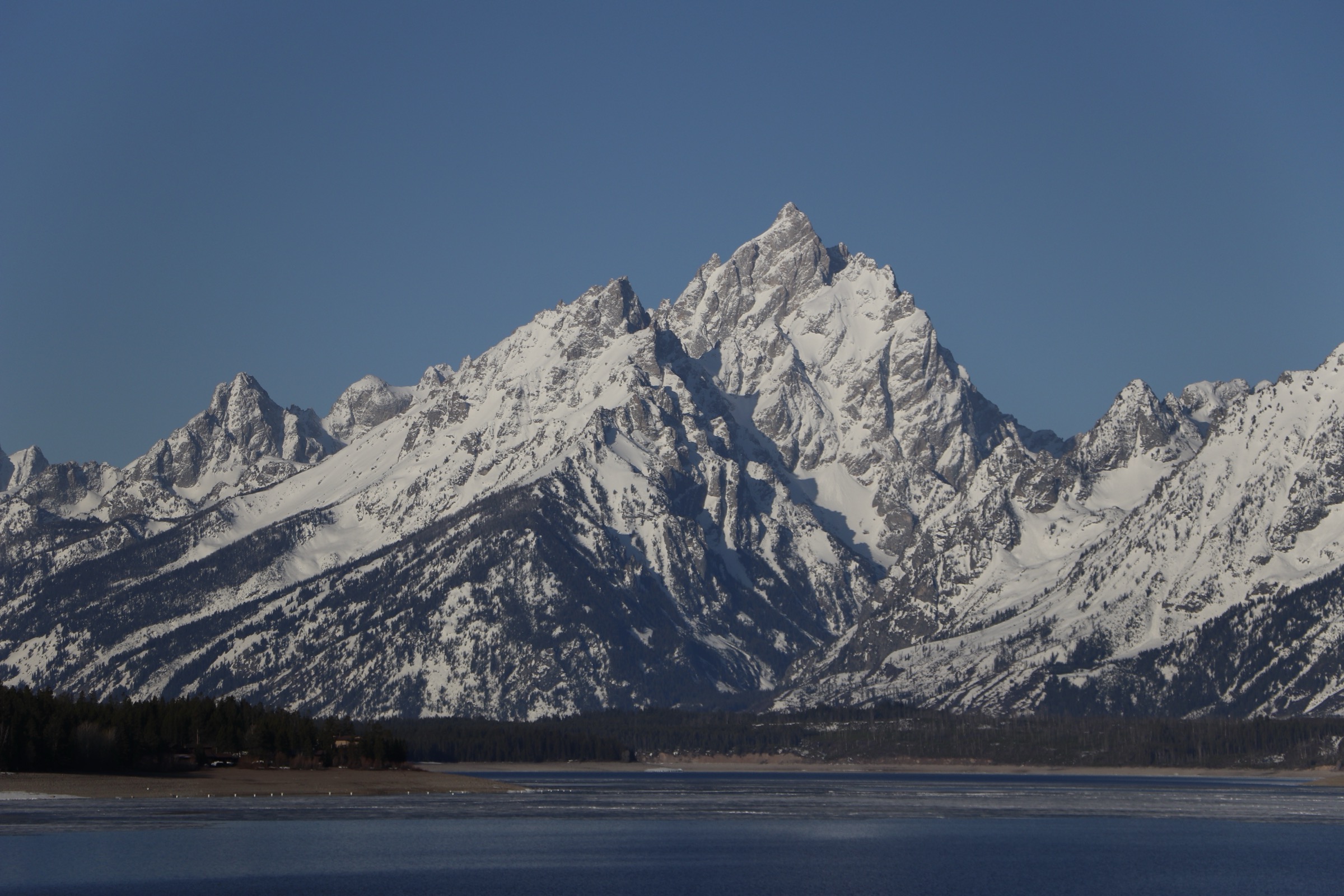
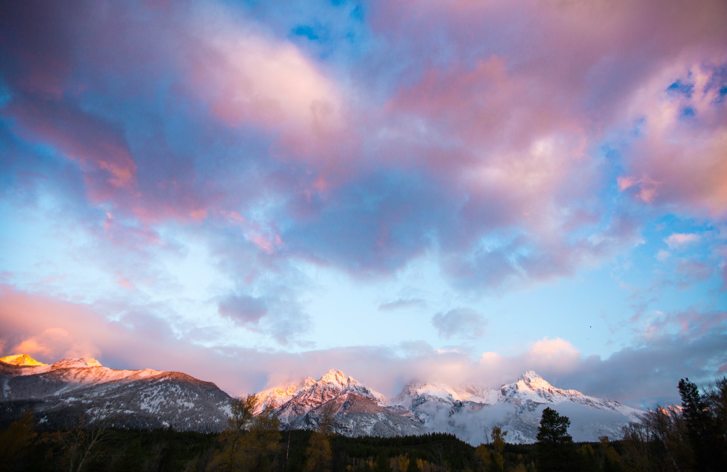
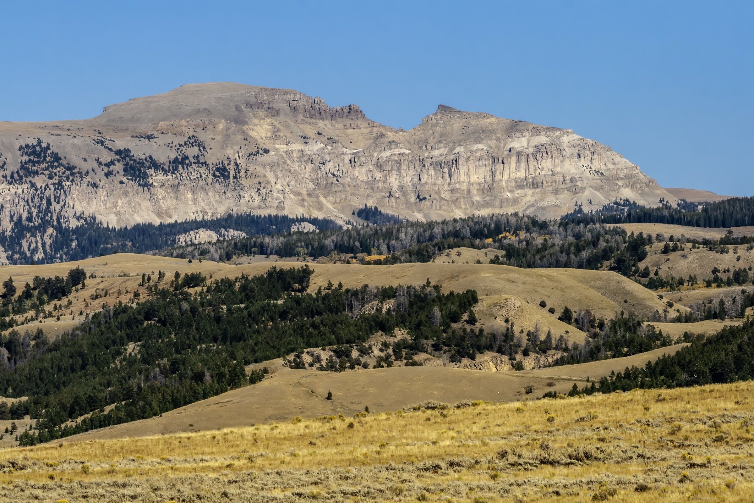
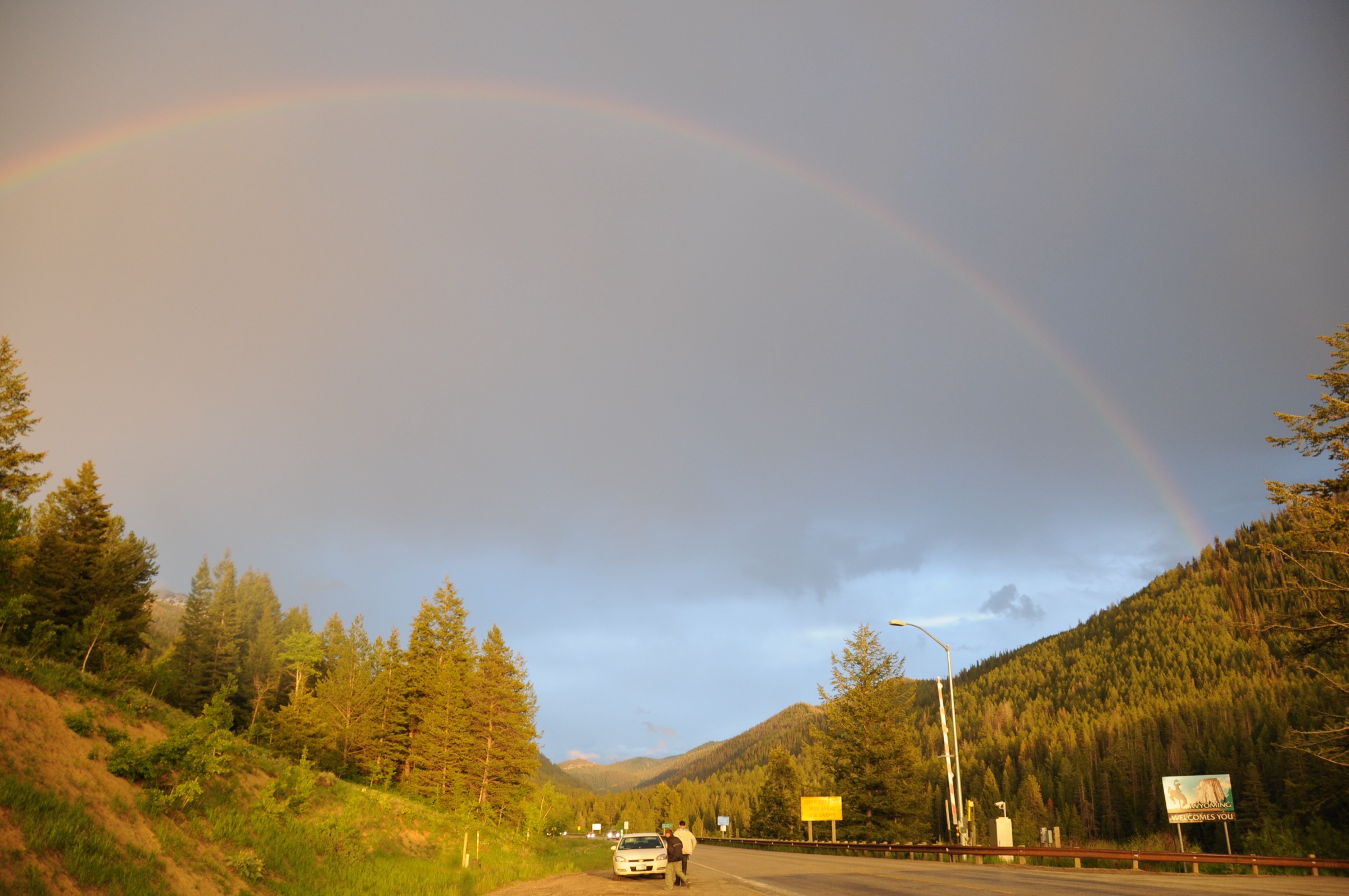
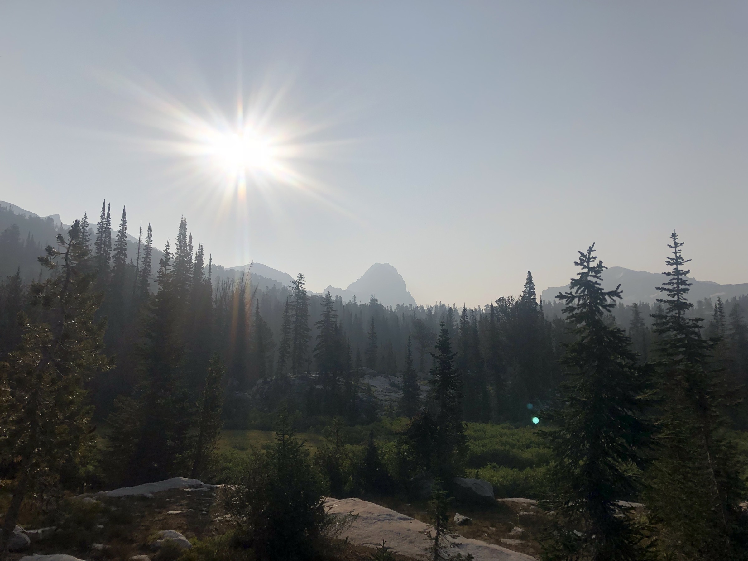
Jedediah Smith Wilderness protects the long west slope of the Teton Range in Wyoming. Wilderness Connect identifies it as a Forest Service-managed wilderness designated in 1984, with 123,896 official acres, distinctive karst limestone features and caves, heavy winter snowfall, heavy summer recreation use, wildlife including black and grizzly bear, and approximately 175 miles of trail — some of which cross into Grand Teton National Park along the range crest.
Where the park side gets the shuttle boats, the ranger permits and the crowds, the west slope gets the meadows, the caves and the working-forest access. Approaches climb through Caribou-Targhee National Forest to the Teton Crest from the Idaho/Wyoming state line side, and several of the classic routes — Table Mountain, Alaska Basin — sit on or near the boundary with Grand Teton National Park.
Route statistics below are largely from AllTrails structured data, with wilderness context from Wilderness Connect. Official Forest Service route pages could not be retrieved at the time of writing and current official trail conditions for these routes were not resolved in this pass — verify snowpack, trailhead status and closures with the Caribou-Targhee National Forest before travel.
Dog access is unresolved. Wilderness Connect states “Dogs are not allowed,” while several AllTrails records mark individual Jedediah Smith / Caribou-Targhee routes as dog-friendly or leash-only. Treat this as unresolved and verify directly with the Caribou-Targhee National Forest before relying on it.
See also: Teton Pass and southern Tetons · Gros Ventre Mountains, Wyoming.
Selection rationale
The five hikes below represent the west-slope Teton walking character: a major summit viewpoint (Table Mountain), a karst cave/waterfall route (Darby Canyon Wind Cave), the classic west-side alpine-basin approach (Alaska Basin), a northern high-lake loop (Green Lakes), and a southern meadow/wildflower route near Teton Pass (Coal Creek Meadows).
Alaska Basin and Green Lakes slightly exceed the usual day-hike distance limit but are retained because they are recognised long day objectives for very fit hikers and represent essential landscapes on the west slope. Multi-day traverses of the Teton Crest and the through-routes into Grand Teton National Park are excluded from the day-hike scope.
Summary
| # | Hike | Trailhead | Route type | Distance | Gain | Max elevation | Difficulty |
|---|---|---|---|---|---|---|---|
| 1 | Table Mountain via Face and North Teton Loop | Teton Canyon / Alta | Loop | 17.1 km | 1,263 m | 3,374 m | Hard |
| 2 | Darby Canyon Wind Cave Trail | Darby Canyon Trailhead | Out-and-back | 10.0 km | 522 m | c. 2,687 m | Moderate |
| 3 | Alaska Basin Trail | Teton Canyon / Treasure Mountain Scout Camp area | Loop | 26.7 km | 938 m | c. 2,971 m | Hard |
| 4 | Green Lakes | Green Mountain / South Leigh Creek area | Loop | 25.3 km | 1,144 m | c. 2,993 m | Hard |
| 5 | Coal Creek Meadows | Teton Pass / WY-22 | Out-and-back | 9.0 km | 593 m | c. 2,806 m | Hard |
1. Table Mountain via Face and North Teton Loop
Snapshot
Itinerary
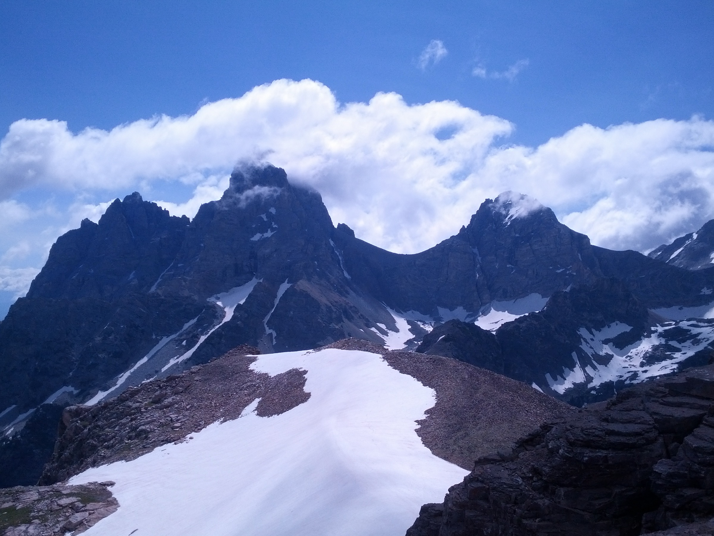
From the Teton Canyon side, the route climbs through forest and meadows toward Table Mountain, then reaches a summit viewpoint on the west side of the central Tetons. The loop variant descends by the alternate North Teton route. The summit itself sits near the boundary with Grand Teton National Park and looks straight into the Cathedral Group.
Why it is essential
This is the west slope’s iconic viewpoint hike — a close, frontal view into Grand Teton National Park and the Grand, Middle and South Teton from outside the park’s east-side trail system, without a permit or a shuttle-boat departure.
Equipment
- Full mountain day-kit for sustained climbing
- 2.5–3 L water
- Bear spray and knowledge of its use
- Trekking poles for the descent
- Storm and sun layers — the summit is fully exposed
- Offline navigation
- Traction or snow gear outside clear summer conditions
Hazards and notes
- Steep climbing and scree, with some scrambling near the summit.
- Weather exposure on the upper ridge — plan to be off the summit by early afternoon in monsoon season.
- Bears — both black and grizzly are present on the west slope; carry spray and use standard bear safety.
- Muddy sections earlier in the season.
- The exact loop routing changes with snow — verify snapshots against a current map.
2. Darby Canyon Wind Cave Trail
Snapshot
Itinerary
The trail begins through forest, climbs along open hillside and meadows, passes waterfall terrain, and steepens toward the Wind Cave area — one of the wilderness’s signature karst features. Return is by the same route.
Why it is essential
This is the standout karst / cave day-hike for the west-slope Tetons, matching the wilderness’s defining limestone-and-cave character rather than the granite east face across the range.
Equipment
- Hiking shoes or boots for wet forest tread and the steep final section
- Bear spray
- 2 L water and a snack
- Layers for rapid weather changes in the upper canyon
- Traction if snow lingers early in the season
Hazards and notes
- Steep final climb to the cave.
- Snow, mud and slippery rock — especially in June and early July.
- Cave hazards — cave and ice-cave exploration requires specialised climbing and caving equipment. Do not treat cave entry as normal hiking.
- Bears — carry spray and use standard bear safety.
- Insects can be intense in mid-summer.
3. Alaska Basin Trail
Snapshot
Itinerary
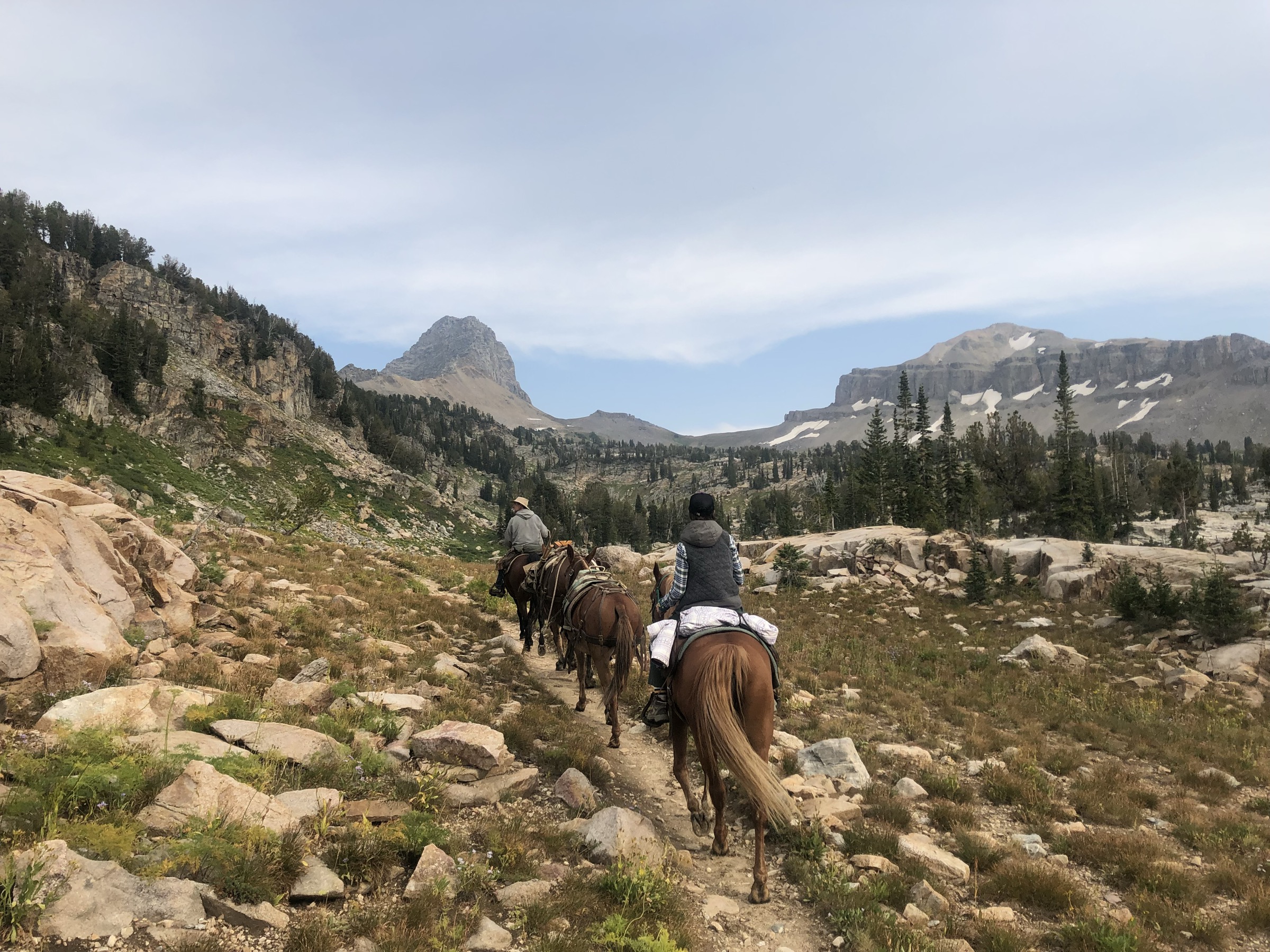
This long route reaches Alaska Basin from the west side, crossing forest, meadows, streams and high-basin terrain with views toward the central Tetons on clear days. The loop return links back through the Teton Canyon system to the start. Most parties treat it as a single long day; a light backpacking option is common for those wanting more time in the basin.
Why it is essential
Alaska Basin is the west-slope gateway to the Teton Crest landscape and one of the classic alpine-basin objectives outside the park’s permit-heavy core. It gives access to Teton Crest scenery without needing a park backcountry permit.
Equipment
- Full long-day mountain kit — early start and headlamp
- 3+ L water plus a filter for stream refills
- Bear spray
- Storm and sun layers for exposed sections
- Trekking poles for the descent
- Offline navigation
- Snow gear when the basin holds snow
Hazards and notes
- Long distance — pace and turnaround management matter.
- Mud, wet sections and stream crossings in the meadow zones.
- Weather exposure on the basin rim — thunderstorms move in fast.
- Bears — active on both sides of the crest.
- Basin snow can linger into July in high-snowpack years.
4. Green Lakes
Snapshot
Itinerary
The route climbs through wildflower terrain and switchbacks to ridge country, crosses toward Green Lakes, and loops through lake and forest terrain. Route data is thin compared with the central park-side objectives, so carry a good map and expect to make some route-finding judgments at faint junctions.
Why it is essential
Green Lakes represents the quieter northern high-lake and ridge country of Jedediah Smith Wilderness, away from the more crowded Teton Canyon and Alaska Basin approaches — a full day in ridge-and-lake country with little foot traffic.
Equipment
- Long-day mountain kit
- 3+ L water plus a filter
- Bear spray
- Trekking poles
- Storm, sun and bug protection
- Fishing licence if planning to fish the lakes
- Offline navigation — junctions are less obvious than on park-side routes
Hazards and notes
- Long distance and ridge weather — early start and honest turnaround.
- Steep sections on the climb to the ridge.
- Snow earlier in summer — verify locally.
- Limited water before descending from the ridge.
- Bears and other wildlife are active.
5. Coal Creek Meadows
Snapshot
Itinerary
Starting from the Teton Pass / WY-22 area, the trail climbs through wooded terrain to open meadows at Coal Creek Meadows. An optional longer continuation runs on toward the Taylor Mountain routes; this entry treats those as beyond the selected day-hike line and returns from the meadows.
Why it is essential
Coal Creek Meadows provides the southern Jedediah Smith contrast: forest, wildflowers, meadows and Teton Pass terrain rather than the central Teton Canyon crowd pattern. It gives a good half-day sample of the wilderness’s southern character.
Equipment
- Hiking shoes or boots for steep, rooted tread
- Bear spray
- 2 L water and a snack
- Sun and rain layers
- Bug protection in summer
- Offline navigation
Hazards and notes
- Steep climbing — the route earns its “hard” rating on the ascent, not the distance.
- Rain and mud are recurring in the wooded lower section.
- Insects and biting flies can be intense in mid-summer.
- Wildlife including bears; standard precautions.
- Weather shifts near Teton Pass — sudden storms are common.
Further reading
| Source | URL |
|---|---|
| Wilderness Connect — Jedediah Smith Wilderness | wilderness.net |
| USDA Forest Service — Caribou-Targhee National Forest | fs.usda.gov |
| AllTrails — Table Mountain via Face and North Teton | alltrails.com |
| AllTrails — Darby Canyon Wind Cave Trail | alltrails.com |
| AllTrails — Alaska Basin Trail | alltrails.com |
| AllTrails — Green Lakes | alltrails.com |
| AllTrails — Coal Creek Meadows | alltrails.com |
| Wikipedia — Jedediah Smith Wilderness | en.wikipedia.org |
| Wikimedia Commons — Jedediah Smith Wilderness | commons.wikimedia.org |
| OpenStreetMap (ODbL 1.0) | openstreetmap.org |