Regional overview
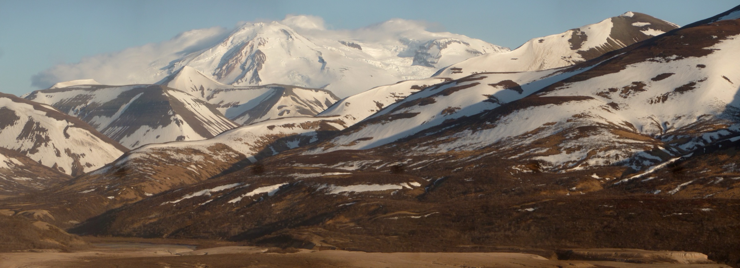
The Thompson Pass and Valdez sector of the Chugach Mountains is the eastern high country of the range — the walled-in glacier and rainforest belt where the Richardson Highway climbs out of Prince William Sound over the crest of the Chugach into the interior. The pass itself, at 817 m, is the snowiest point in Alaska and one of the snowiest in the world: the Alaska Climate Research Center records a seasonal average of roughly 500 inches (~12.7 m) at the pass, with the winter of 1952–53 setting a state record of 974.5 inches (~24.75 m) at the Thompson Pass weather station. The result is a landscape of low-elevation hanging glaciers, thick coastal spruce–hemlock rainforest, and a compressed alpine zone that begins immediately above the treeline.
There are two hiking centres. Thompson Pass, an hour’s drive north of Valdez along the Richardson Highway, gives fast access to Worthington Glacier and the alpine tundra ridges of the pass itself. Valdez, sitting at sea level at the head of the deep Port Valdez fjord, is the coastal centre: the historic Mineral Creek mining valley cuts inland from the north edge of town, the Solomon Gulch / John Hunter Memorial Trail climbs to Solomon Lake on the south side of the fjord, and the Shoup Bay Trail runs west along the coast into the Shoup Bay State Marine Park. The Chugach National Forest lies to the west; most of the Valdez trails are on Alaska state land under Alaska State Parks, while the Thompson Pass trails run through the Worthington Glacier State Recreation Site and adjacent Bureau of Land Management ground.
Access is by the Richardson Highway (Alaska Route 4), Alaska’s first road, running roughly 500 km from Fairbanks south to Valdez. The Alaska Marine Highway ferry connects Valdez with Whittier and Cordova across Prince William Sound. Snow-free walking at valley level is reliably available from mid-June to late September; the alpine sections on Thompson Pass and the Solomon Lake basin above Valdez commonly hold snow into July. Weather is coastal and abrupt — Valdez averages more than 150 inches (~3.8 m) of rain a year at sea level, and Thompson Pass generates its own weather within an hour on almost any day. Both brown and black bears use every valley on this list; carry spray and store food to Alaska State Parks or BLM standards.
Some historically well-known routes in the sector are closed or unmaintained. The Worthington Ridge Trail above the main glacier viewpoint has been closed since a 2013 fatal landslide and has not reopened. The Shoup Bay Trail is only maintained as far as Gold Creek at 5 km; the westward continuation to Shoup Bay proper is unmaintained, requires two tidal crossings, and is not a reliable day-hike. Verify current status with the Alaska State Parks Copper River / Northern Region office before travel.
Selection rationale
The five walks sample both hiking centres and the full range of terrain. Worthington Glacier Overlook is the shortest walk on the list and the essential Thompson Pass introduction — a short paved and gravel approach to a viewing platform above the lower icefall of one of the most accessible glaciers in the state. Blueberry Lake pairs with it as the alpine-tundra loop at the top of the pass. Mineral Creek is the historic mining walk of Valdez — a canyon walk on an old wagon road to the surviving W. L. Smith Stamp Mill. The John Hunter Memorial / Solomon Gulch Trail is the classic Valdez forest-to-alpine walk on the south side of the fjord, climbing through old-growth spruce and hemlock to Solomon Lake. Shoup Bay to Gold Creek closes the selection as the coastal Chugach State Marine Park route — the maintained day-hike section of the longer trail into Shoup Bay. Reference material was verified against the Alaska State Parks Copper River / Northern Region trail pages, Alaska DNR brochures, Valdez visitor bureau material, and USGS mapping.
Summary table
| # | Hike | Country | Route type | Distance | Gain | Max elevation | Difficulty |
|---|---|---|---|---|---|---|---|
| 1 | Worthington Glacier Overlook Trail | USA | Out-and-back | ~1 km | ~8 m | ~700 m | Very easy |
| 2 | Blueberry Lake Trail | USA | Loop | ~4.3 km | ~68 m | ~825 m | Easy |
| 3 | Mineral Creek Trail to W. L. Smith Stamp Mill | USA | Out-and-back | ~6 km | ~120 m | ~180 m | Easy |
| 4 | John Hunter Memorial / Solomon Gulch Trail | USA | Out-and-back | ~6.1 km | ~250 m | ~275 m | Moderate |
| 5 | Shoup Bay Trail to Gold Creek | USA | Out-and-back | ~10 km | ~204 m | ~103 m | Moderate |
1. Worthington Glacier Overlook Trail
Snapshot
Itinerary
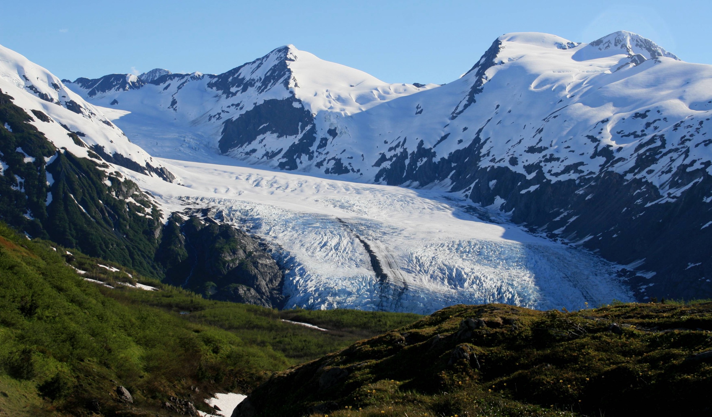
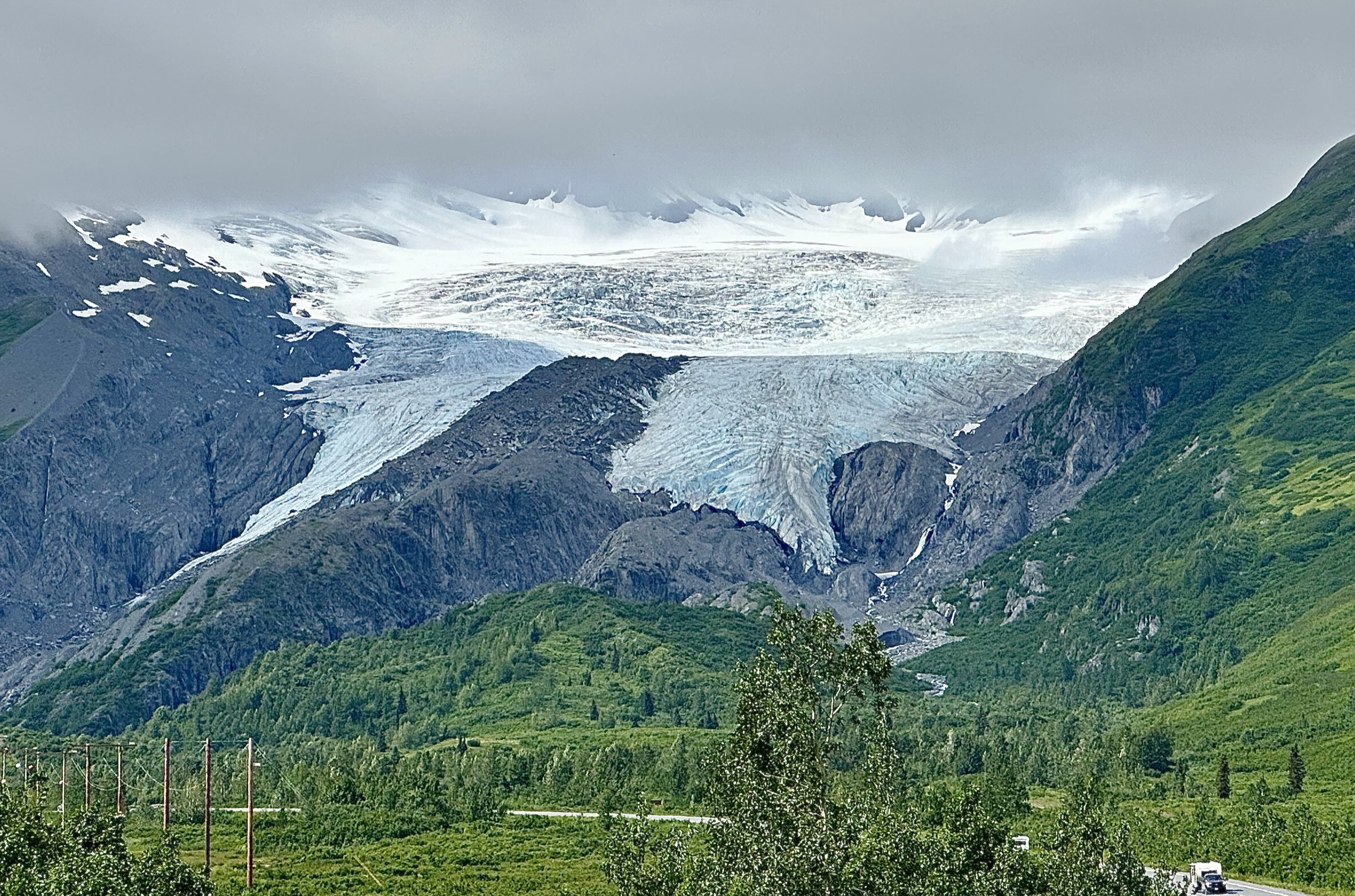
The trail leaves the main Worthington Glacier parking area at Mile 28.7 of the Richardson Highway and follows a short paved apron along the lateral moraine to a covered interpretive shelter, then continues as a graded gravel path to the main viewing platform at the toe of the ice. Total distance from the car park to the platform is approximately 500 m; total round-trip is close to a kilometre. The glacier flows off Girls Mountain to the north and once ran across the trace of the modern highway; the retreat over the last century has left a low, exposed lateral moraine that the trail follows. Onward scramble routes up the moraine crest are informal and have been the site of several fatal accidents. The Worthington Ridge Trail, which formerly climbed the ridge to the north above the ice, has been closed since a 2013 landslide killed a hiker and has not reopened. Return is on the same line to the car park.
Why it is essential
Worthington Glacier is the essential Thompson Pass introduction and one of the most accessible hanging glaciers in North America. It is the walk in this catalogue that most cleanly delivers a view of active glacier terminus without any climb, and its position beside the Richardson Highway makes it the obvious first stop for any hiking trip in the sector. The state recreation site is designated an Alaska State Natural Landmark and includes interpretive material on the glacier’s retreat.
Equipment
- Trail shoes or light boots (paved and gravel; wet at the platform)
- Rain jacket and warm layer — Thompson Pass generates its own weather
- Water (0.5 L)
- Sun protection on clear days
- Microspikes early in the season if the platform is snowbound
Hazards and notes
- Do not walk out onto the glacier or up the moraine crest. Serac collapse, hidden crevasses, and moraine landslides have killed multiple visitors over the last two decades.
- Worthington Ridge Trail is closed indefinitely after the 2013 landslide fatality.
- Sudden weather changes at the pass — visibility can drop to near zero within minutes.
- Bears occasionally use the area; carry spray on longer visits.
- Parking area fills quickly on clear summer days.
GPX / route file
| Source | URL | Format | Notes |
|---|---|---|---|
| Alaska State Parks — Worthington Glacier SRS | dnr.alaska.gov | Web page | Official managing authority |
| Alaska DNR — Worthington Glacier brochure (PDF) | dnr.alaska.gov | Official site brochure | |
| AllTrails — Worthington Glacier View Trail | alltrails.com | Web page | Distance cross-check only |
Sources
- Alaska State Parks — Worthington Glacier State Recreation Site
- Alaska DNR — Worthington Glacier brochure (PDF)
- Anchorage Daily News — 2013 Worthington Ridge landslide fatality
- Wikimedia Commons — Worthington Glacier (Paxson Woelber)
2. Blueberry Lake Trail
Snapshot
Itinerary
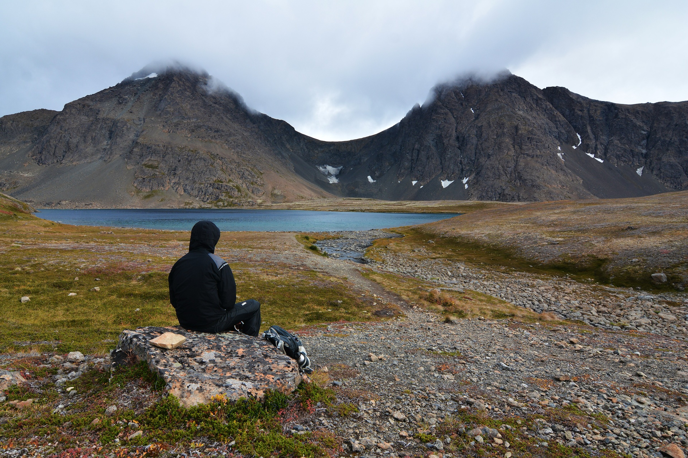
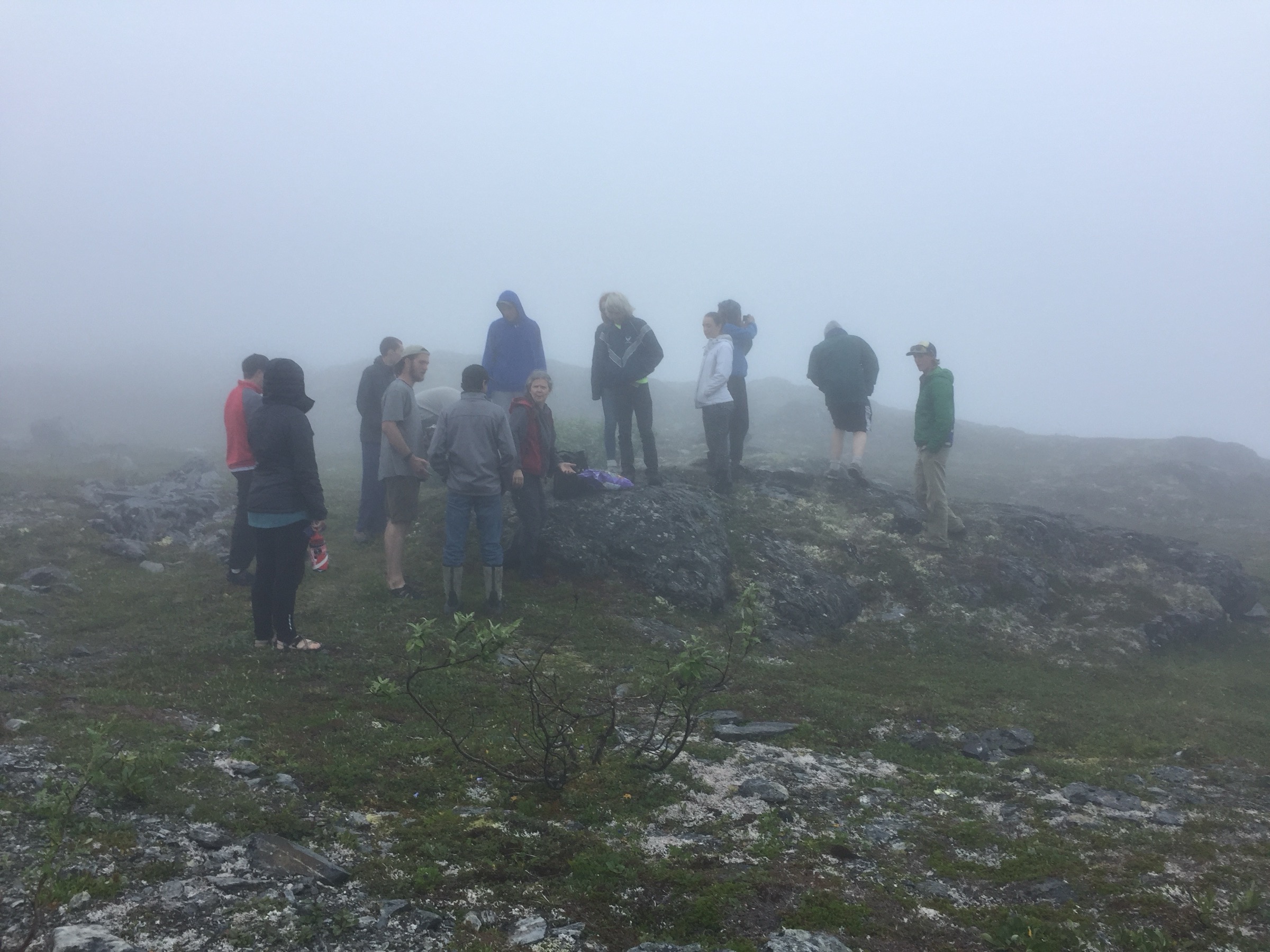
The trail leaves the Blueberry Lake State Recreation Site campground loop at Mile 24 of the Richardson Highway and follows the shore of the lake before climbing gently onto the alpine bench that surrounds it. Alpine tundra dominates — dwarf willow, moss, cotton grass, wildflowers through July, and the low blueberry heath that gives the lake its name. Views open north over Thompson Pass and south down the valley toward Valdez. The loop connects several informal tarns and returns to the campground on the opposite side. The setting is high alpine on foot: at 825 m the trail is above almost every day-hike elevation in the Prince William Sound Chugach, but the approach is a car park at the top of the pass rather than a climb. Return is a straightforward loop closure to the campground.
Why it is essential
Blueberry Lake is the alpine-tundra walk at the top of Thompson Pass — a road-served loop that delivers subalpine and alpine landscape without a climb. It is the natural pair with Worthington Glacier Overlook on a Thompson Pass day and the only easy tundra walk in this catalogue. The state recreation site is one of the few developed campgrounds on the Richardson Highway and a common overnight stop for hikers.
Equipment
- Trail shoes or light boots
- Rain jacket and warm layer — the pass is exposed
- Water (1 L)
- Wind protection
- Insect repellent — mosquitoes are heavy in July and August
- Bear spray
Hazards and notes
- Thompson Pass weather turns fast; wind and rain can arrive within minutes.
- Alpine tundra is fragile — keep to the trail line.
- Snow can persist into July on the north-facing side of the loop.
- Bears occasionally cross the pass corridor.
- Campground fills on weekends through the short summer season.
GPX / route file
| Source | URL | Format | Notes |
|---|---|---|---|
| Alaska State Parks — Blueberry Lake SRS | dnr.alaska.gov | Web page | Official managing authority |
| Alaska DNR — Blueberry Lake brochure (PDF) | dnr.alaska.gov | Official site brochure | |
| AllTrails — Blueberry Lake Loop Trail | alltrails.com | Web page | Distance and elevation cross-check only |
Sources
- Alaska State Parks — Blueberry Lake State Recreation Site
- Alaska DNR — Blueberry Lake brochure (PDF)
- Wikimedia Commons — Thompson Pass (BLM Alaska / Robben Taylor)
3. Mineral Creek Trail to W. L. Smith Stamp Mill
Snapshot
Itinerary
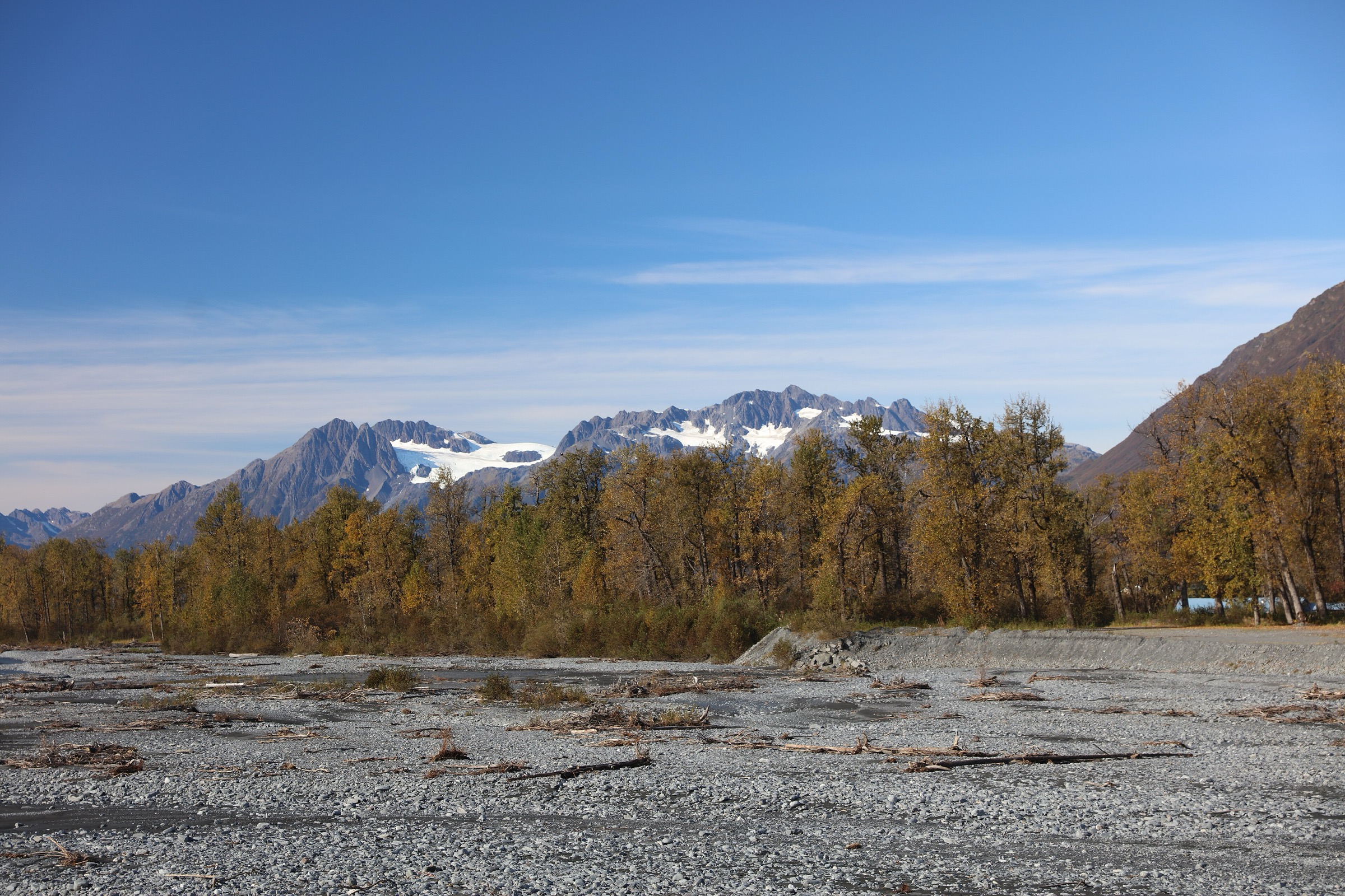
Mineral Creek Road leaves central Valdez to the north and follows the west side of Mineral Creek for approximately 8 km to a rough end at the mouth of the canyon; the road is narrow, unpaved, and typically driven cautiously in a normal passenger car. From the road terminus the historic wagon route continues on foot up the canyon, crossing several avalanche paths and side streams. The route follows the former access road built to service the W. L. Smith Stamp Mill, the surviving industrial ruin from the early-twentieth-century gold-mining boom that gave Valdez its inland economy. The mill sits on the west bank of the creek at approximately 180 m and consists of a heavy timber structure with the collapsed stamp battery and ore chute still in place. The valley walls carry several waterfalls, and the creek itself runs a hard glacial blue-grey from the high country. Return is on the same line back to the road terminus.
Why it is essential
Mineral Creek is the historically important walk of the sector — the surviving industrial evidence of the Valdez gold rush set in one of the more dramatic short canyons on the coastal Chugach. It is the walk that most cleanly delivers the human history of Valdez to a visitor, and the only route in this catalogue that reaches a genuine industrial ruin. The valley itself is a designated route on Valdez tourism material and one of the town’s flagship day-hikes.
Equipment
- Sturdy trail shoes or boots (loose gravel and old road surface)
- Rain jacket and warm layer
- Water (1.5 L)
- Bear spray — brown and black bears both use the valley
- Sun protection
- Trekking poles helpful on the gravel section
Hazards and notes
- The road up Mineral Creek is narrow and cut by avalanche paths; check current condition with the Valdez Visitor Center before driving.
- Do not enter the stamp-mill structure — the timber has failed in several places.
- Brown and black bears use the valley; salmon-run activity draws them into the creek.
- Stream crossings on the walking section can rise fast in rain.
- No potable water on the route.
GPX / route file
| Source | URL | Format | Notes |
|---|---|---|---|
| City of Valdez — Mineral Creek | valdezak.gov | Web page | Municipal authority |
| Valdez Convention & Visitor Bureau — Hiking | valdezalaska.org | Web page | Local authority listing |
| AllTrails — Mineral Creek Trail | alltrails.com | Web page | Distance and elevation cross-check only |
Sources
- City of Valdez — Mineral Creek
- Valdez Convention & Visitor Bureau — Hiking
- BLM Glennallen Field Office
- Wikimedia Commons — Mineral Creek panoramio
4. John Hunter Memorial / Solomon Gulch Trail
Snapshot
Itinerary
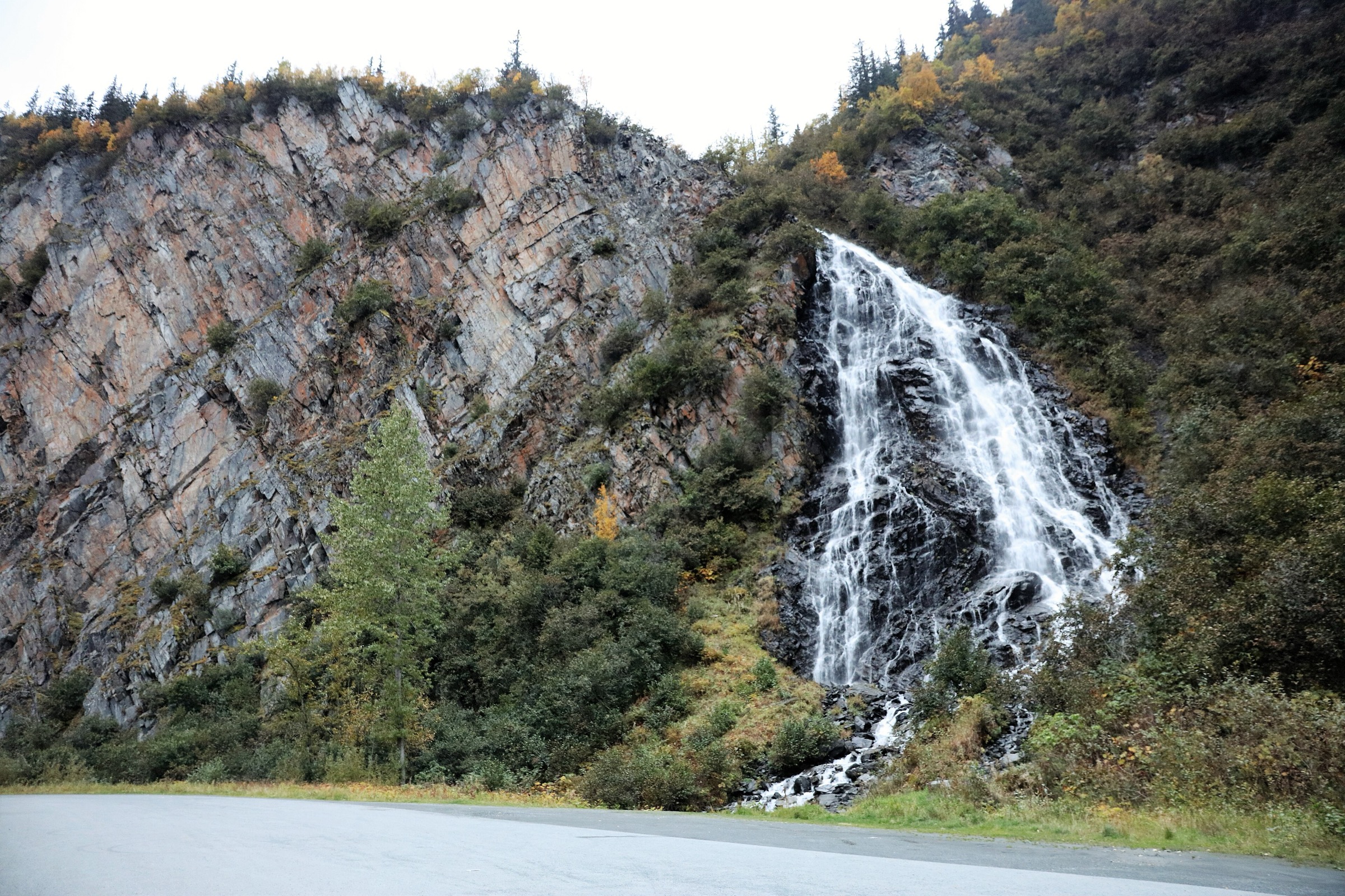
The trail leaves Dayville Road on the south shore of Port Valdez opposite the Solomon Gulch Hatchery. The first section climbs on maintained tread through old-growth Sitka-spruce and mountain-hemlock rainforest, with roots and step-outs on the steeper pitches. Waterfalls appear at intervals across Solomon Gulch to the west, and short openings deliver views north across the fjord to Valdez and its container terminal. The trail crosses the Copper Valley Electric Association penstock right-of-way in its middle section — the hydroelectric infrastructure that feeds Valdez from the Solomon Lake reservoir — before flattening onto a bench above the gulch and reaching the dam and lake shore at approximately 275 m. Solomon Lake is a working reservoir; the trail is dedicated to John Hunter, a hydro-plant worker who was killed in the 1964 Good Friday earthquake and tsunami. Return is on the same line back to Dayville Road.
Why it is essential
Solomon Gulch is the classic Valdez rainforest-to-alpine day-hike and the walk that most cleanly delivers the coastal Chugach forest character on the south side of the fjord. It is also the memorial trail to the Good Friday earthquake — the earthquake that destroyed old Valdez in 1964 and forced the relocation of the town to its present site. For a fit walker on a Valdez day it is the most sustained climb of this catalogue on the coastal side and pairs naturally with the Shoup Bay walk on the opposite shore.
Equipment
- Sturdy trail shoes or light boots (roots, wet forest floor)
- Rain jacket — Valdez is coastal rainforest
- Warm layer
- Water (2 L)
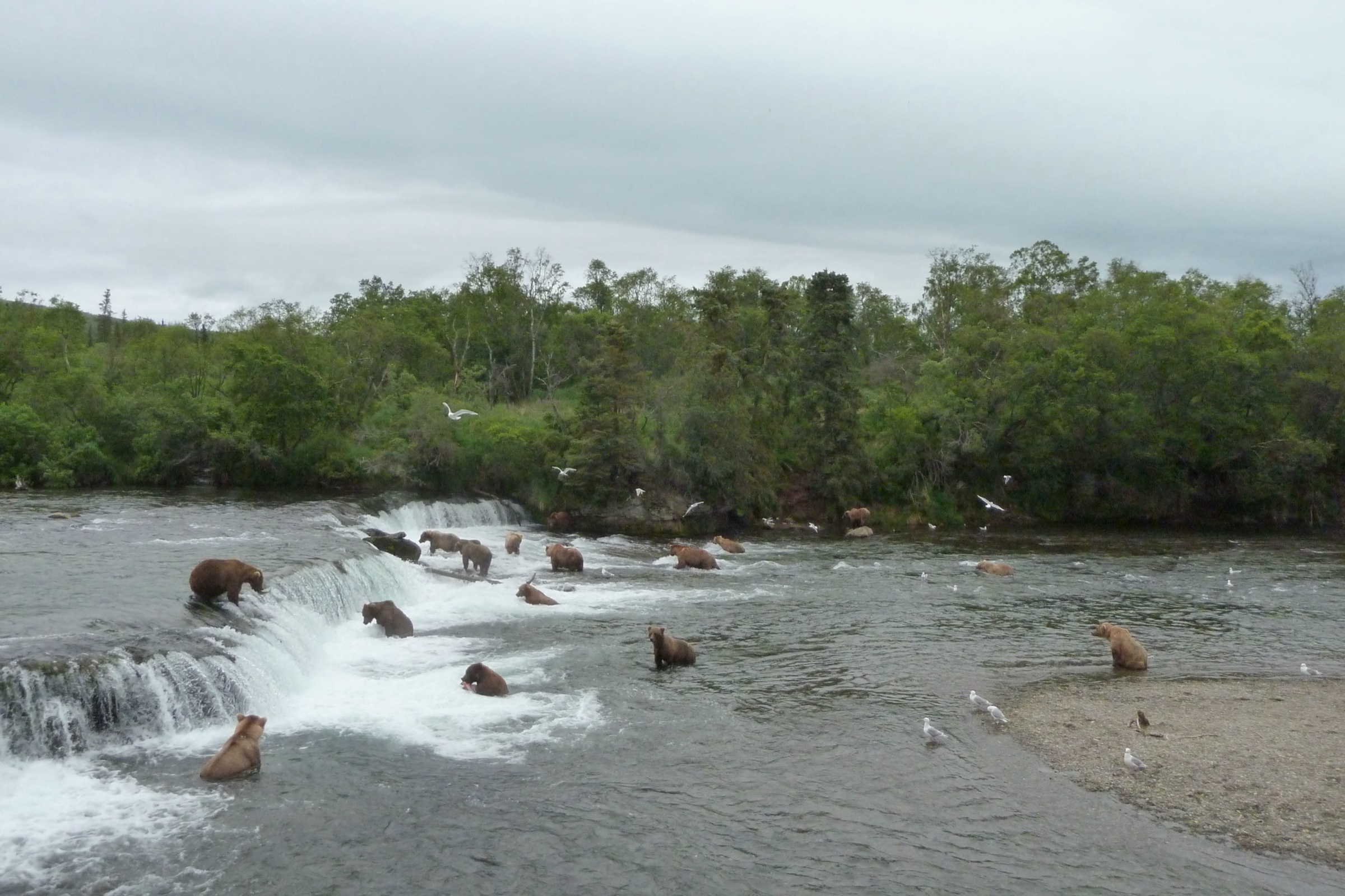
- Bear spray — brown and black bears both use the Solomon Gulch drainage during salmon runs at the hatchery
- Insect repellent
- Trekking poles helpful for the descent
Hazards and notes
- Solomon Gulch Hatchery draws heavy bear activity in the salmon-run season (July into September); bears frequently cross the road and the lower trail.
- Root and step sections are slippery in rain.
- The hydro penstock right-of-way is active infrastructure; do not leave the trail line.
- Weather in the fjord turns fast; the upper trail can carry snow into June in cool years.
- Dayville Road passes the Trans-Alaska Pipeline terminus and is subject to occasional closures.
GPX / route file
| Source | URL | Format | Notes |
|---|---|---|---|
| City of Valdez — Trails | valdezak.gov | Web page | Municipal authority |
| Valdez Convention & Visitor Bureau — Hiking | valdezalaska.org | Web page | Local authority listing |
| AllTrails — Solomon Gulch Trail | alltrails.com | Web page | Distance and elevation cross-check only |
Sources
- City of Valdez — Trails
- Valdez Convention & Visitor Bureau — Hiking
- Copper Valley Electric Association — Solomon Gulch Hydro
- Wikimedia Commons — Keystone Canyon panoramio (regional context)
5. Shoup Bay Trail to Gold Creek
Snapshot
Itinerary
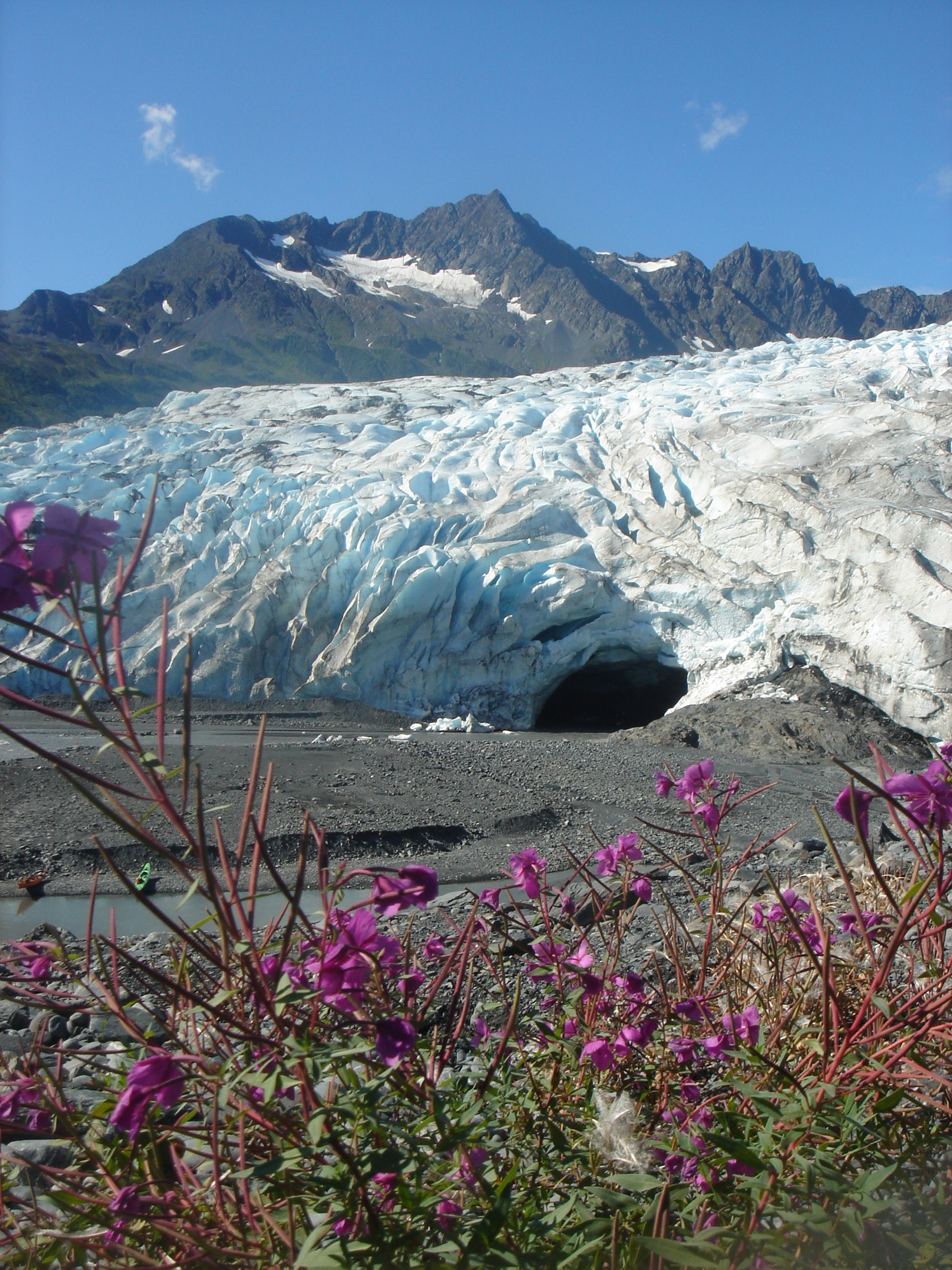
The trail leaves the small trailhead car park at the west end of Egan Drive / Mineral Creek Loop and follows the coastal bench west along the north shore of Port Valdez. The initial 500 m traverse gains onto a rolling bench above the fjord, crossing several small drainages on planked bridges and passing through mature coastal spruce–hemlock forest with muskeg openings. Views south across the fjord open at intervals to the Chugach ridges above Solomon Gulch and Dayville. At approximately 5 km the trail reaches Gold Creek, where the maintained section ends. The onward route into Shoup Bay proper — the tidewater glacier and public-use cabins at approximately 15 km — is unmaintained beyond Gold Creek and requires two tidal crossings that must be timed to low water. Most day-hikers turn around at Gold Creek. Return is on the same line back to Egan Drive.
Why it is essential
Shoup Bay is the coastal walk of the Valdez sector — the marine-park route that most cleanly delivers the fjord-and-forest character of the north side of Port Valdez. It is the natural pair with the Solomon Gulch walk on the south side, and the day-hike section to Gold Creek offers the coastal experience without the tidal-crossing commitment of the full route. Shoup Bay State Marine Park itself is one of the largest state marine parks in Alaska.
Equipment
- Sturdy trail shoes or boots (mud, roots, boardwalk)
- Rain jacket and warm layer — coastal rainforest
- Water (2 L)
- Bear spray — both brown and black bears active in the coastal corridor
- Insect repellent
- Trekking poles helpful on the undulating tread
- Tide table if continuing beyond Gold Creek (not recommended as day-hike)
Hazards and notes
- Do not continue past Gold Creek without a tide table and time budget for the unmaintained westward continuation. The route to Shoup Bay includes two tidal crossings that flood at high tide.
- Brown and black bears both use the corridor; salmon-run activity is high through July and August.
- Boardwalk sections are slippery when wet.
- Stream crossings can rise fast in rain.
- No potable water on the route.
GPX / route file
| Source | URL | Format | Notes |
|---|---|---|---|
| Alaska State Parks — Shoup Bay State Marine Park | dnr.alaska.gov | Web page | Official managing authority |
| Alaska DNR — Shoup Bay brochure (PDF) | dnr.alaska.gov | Official site brochure | |
| Valdez Convention & Visitor Bureau — Hiking | valdezalaska.org | Web page | Local authority listing |
| AllTrails — Shoup Bay Trail | alltrails.com | Web page | Distance and elevation cross-check only |
Sources
- Alaska State Parks — Shoup Bay State Marine Park
- Alaska DNR — Shoup Bay brochure (PDF)
- Valdez Convention & Visitor Bureau — Hiking
- Wikimedia Commons — Shoup Glacier
Region-level sources
| Source | URL |
|---|---|
| Alaska State Parks — Copper River / Northern Region | dnr.alaska.gov |
| Alaska State Parks — Worthington Glacier SRS | dnr.alaska.gov |
| Alaska State Parks — Blueberry Lake SRS | dnr.alaska.gov |
| Alaska State Parks — Shoup Bay State Marine Park | dnr.alaska.gov |
| City of Valdez — Trails | valdezak.gov |
| Valdez Convention & Visitor Bureau — Hiking | valdezalaska.org |
| BLM Glennallen Field Office | blm.gov |
| Alaska Climate Research Center — Thompson Pass snowfall records | akclimate.org |
| Wikipedia — Thompson Pass | en.wikipedia.org |
| Wikipedia — Worthington Glacier | en.wikipedia.org |
| Wikipedia — Richardson Highway | en.wikipedia.org |
Further reading
- Anchorage Front Range Chugach — essential day-hikes — the western Chugach immediately east of Anchorage
- Prince William Sound Chugach — essential day-hikes — the coastal Chugach around Whittier, Girdwood and Cordova
- Kenai Mountains — Resurrection Pass and Hope day-hikes — the range across Turnagain Arm to the south
- Wrangell–St. Elias — Kennicott and McCarthy day-hikes — the neighbouring range to the east
Missing data / follow-up work
- The Worthington Ridge Trail above Worthington Glacier has been closed since a 2013 fatal landslide and has not reopened; check current status with Alaska State Parks before assuming access.
- Distance and gain figures for the Solomon Gulch / John Hunter Memorial Trail vary between sources; the values used follow the AllTrails cross-check for the maintained round-trip to Solomon Lake, but the Valdez municipal source lists a different figure. Verify locally.
- No official GPX or KML files are published by Alaska State Parks or the City of Valdez for these trails; DNR brochure PDFs include the official route maps.
- The Shoup Bay Trail beyond Gold Creek is unmaintained and includes tidal crossings; only the Gold Creek segment is treated here as a reliable day-hike.
- Mineral Creek Road opens after spring melt and closes seasonally with landslide activity; road status is best confirmed with the Valdez Visitor Center on the day.
- Salmon-run timing (July into September) concentrates brown-bear activity around the Solomon Gulch Hatchery and Mineral Creek; carry spray and check for local closures.