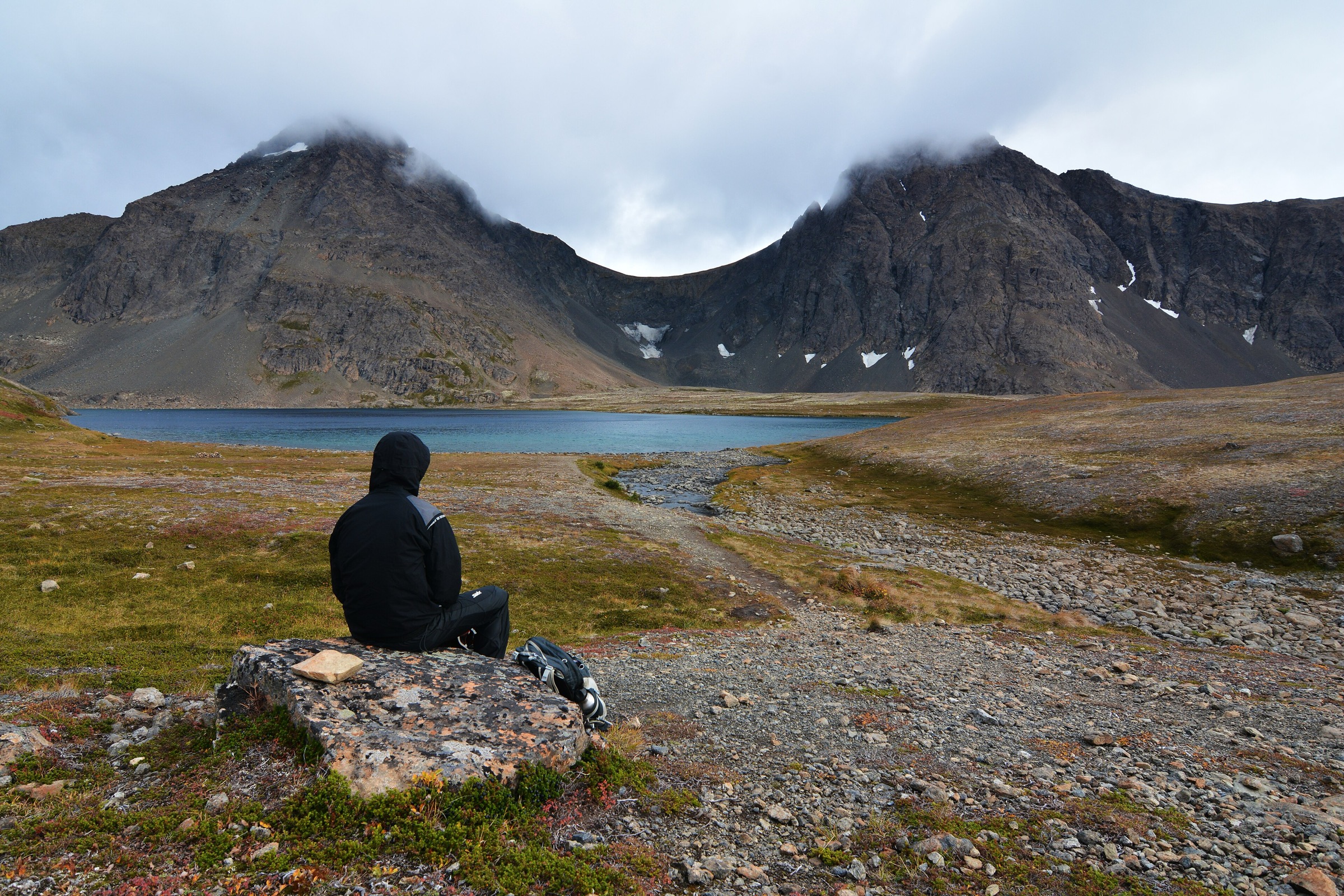
Regional overview
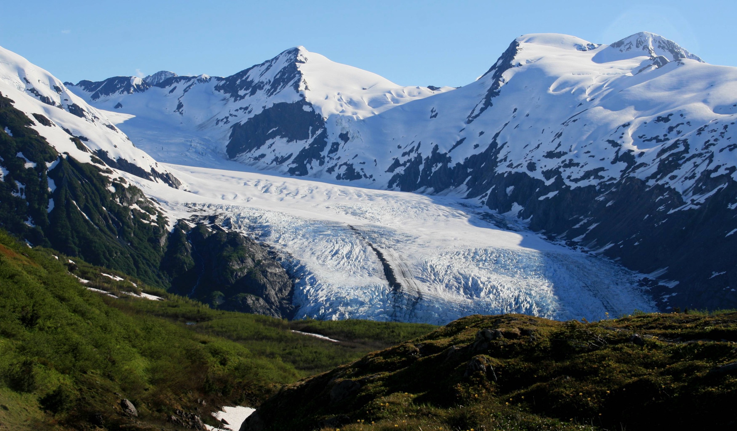
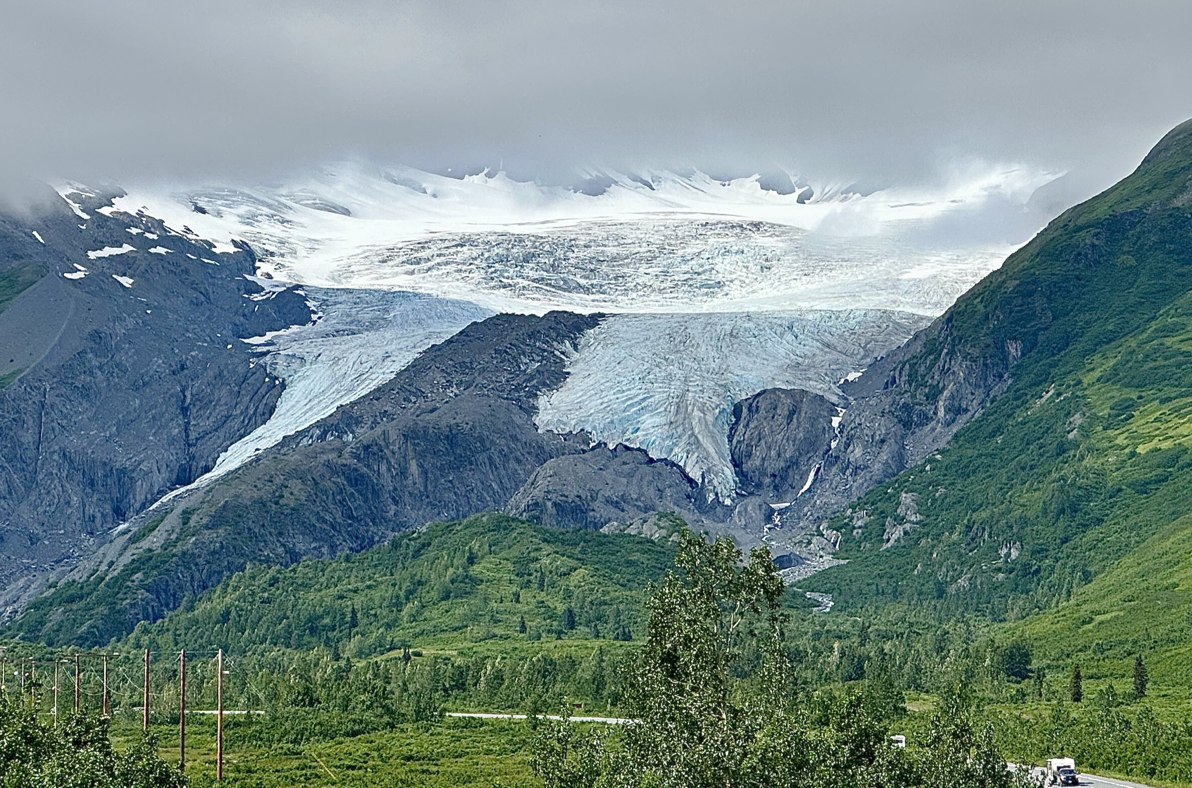
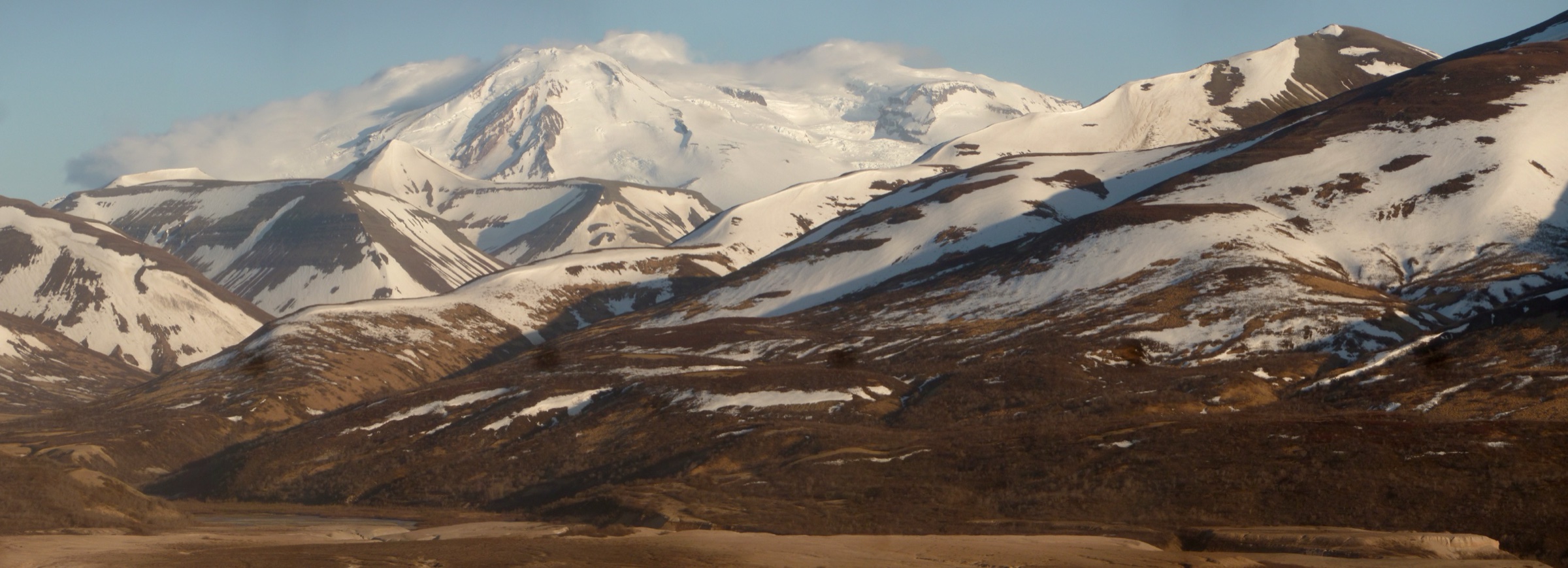
The Anchorage Front Range is the western wall of the Chugach Mountains, rising abruptly out of the Anchorage bowl and Turnagain Arm to summits between 1,000 and 1,500 m within 20 km of downtown. The whole range front sits inside Chugach State Park — roughly 495,000 acres of state land managed by the Alaska Department of Natural Resources — and every trailhead in this catalogue is signposted from the Anchorage Hillside or the Seward Highway along Turnagain Arm.
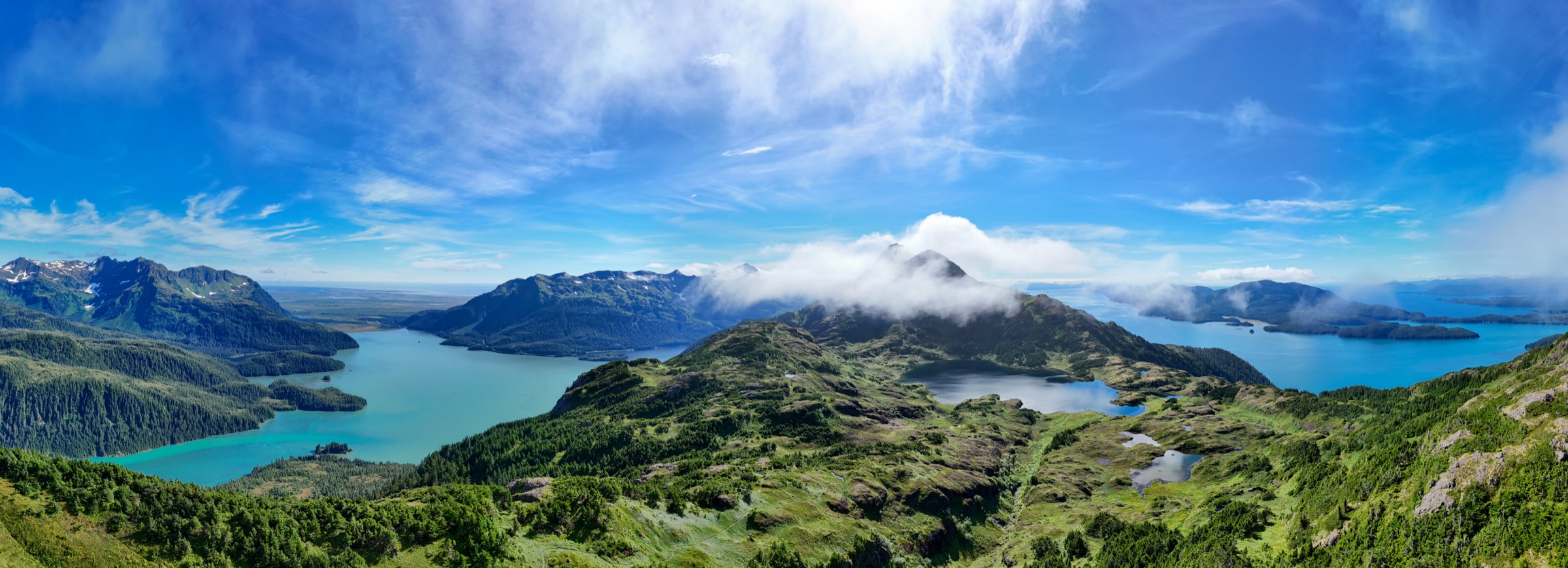
The walking splits neatly into three characters. The Hillside trailheads — Glen Alps, Prospect Heights and Upper Huffman — give access to the front-range peaks and to the long Powerline Pass valley on former powerline service roads. The Turnagain Arm trailheads — Bird Point, Bird Ridge, McHugh — climb south-facing ridges that dry earliest in spring and give the tidewater outlook that defines the arm. The Canyon Road trailhead reaches the lake cirques that sit deeper into the range, where the tundra pools of Rabbit Lake and Ship Lake are backed by the Suicide Peaks and the Ramp.
Both brown and black bears use the whole park, and Bird Creek in particular carries a strong salmon run that concentrates brown-bear activity from July into September. Moose are common on the lower trails and can be as dangerous as bears, especially with calves in spring. Weather turns quickly on the exposed summit blocks; sudden low cloud and wind are more common than a settled sunny day. The reliable snow-free walking season is roughly mid-June to mid-September for the alpine hikes, with Bird Ridge and the lower Powerline Pass road usable well before that on the south-facing aspects.
Trailhead access is almost entirely by private vehicle. State trailheads charge a $5 day-use fee and honour the Alaska State Parks annual pass. The Anchorage People Mover bus network serves urban Anchorage only — no route reaches a Chugach State Park trailhead. The one scheduled option is the private Flattop Mountain Shuttle, a single daily summer van from downtown to Glen Alps that also works as a lift to the head of the Powerline Pass valley.
Selection rationale
The five walks are chosen to represent the character of the Anchorage Front Range across a single day-walker’s spectrum. Flattop is the flagship summit — the standard first Anchorage hike and the most-climbed peak in the state. Wolverine Peak is included as the ridge summit of the Front Range, the longer and more serious cousin of Flattop and the walk that most rewards a full day. Bird Ridge is the Turnagain Arm classic and the walk that carries the tidewater outlook, plus the earliest snow-free option of the year. Rabbit Lake represents the tundra-lake character of the deeper front-range cirques and the setting under the Suicide Peaks that appears on the article cover. Powerline Pass closes the selection as the long valley classic — the same route used by winter fat-bikers and skiers, and the natural transit route from the Anchorage Hillside to the Turnagain Arm side of the range. Reference material was verified against Alaska DNR trail guides, the Chugach State Park brochure, and cross-checked against Alaska Department of Fish and Game wildlife guidance.
Summary table
| # | Hike | Country | Route type | Distance | Gain | Max elevation | Difficulty |
|---|---|---|---|---|---|---|---|
| 1 | Flattop Mountain from Glen Alps | USA | Out-and-back | ~4.8 km | ~396 m | 1,070 m | Difficult |
| 2 | Wolverine Peak from Prospect Heights | USA | Out-and-back | ~15 km | ~1,067 m | 1,369 m | Strenuous |
| 3 | Bird Ridge to Bird Ridge Point | USA | Out-and-back | ~8.0 km | ~1,036 m | 1,068 m | Difficult |
| 4 | Rabbit Lake from Canyon Road | USA | Out-and-back | ~14.2 km | ~365 m net | ~975 m | Moderate |
| 5 | Powerline Pass from Glen Alps | USA | Out-and-back | ~22.5 km | ~488 m | ~1,100 m | Moderate (long) |
1. Flattop Mountain from Glen Alps
Snapshot
Itinerary
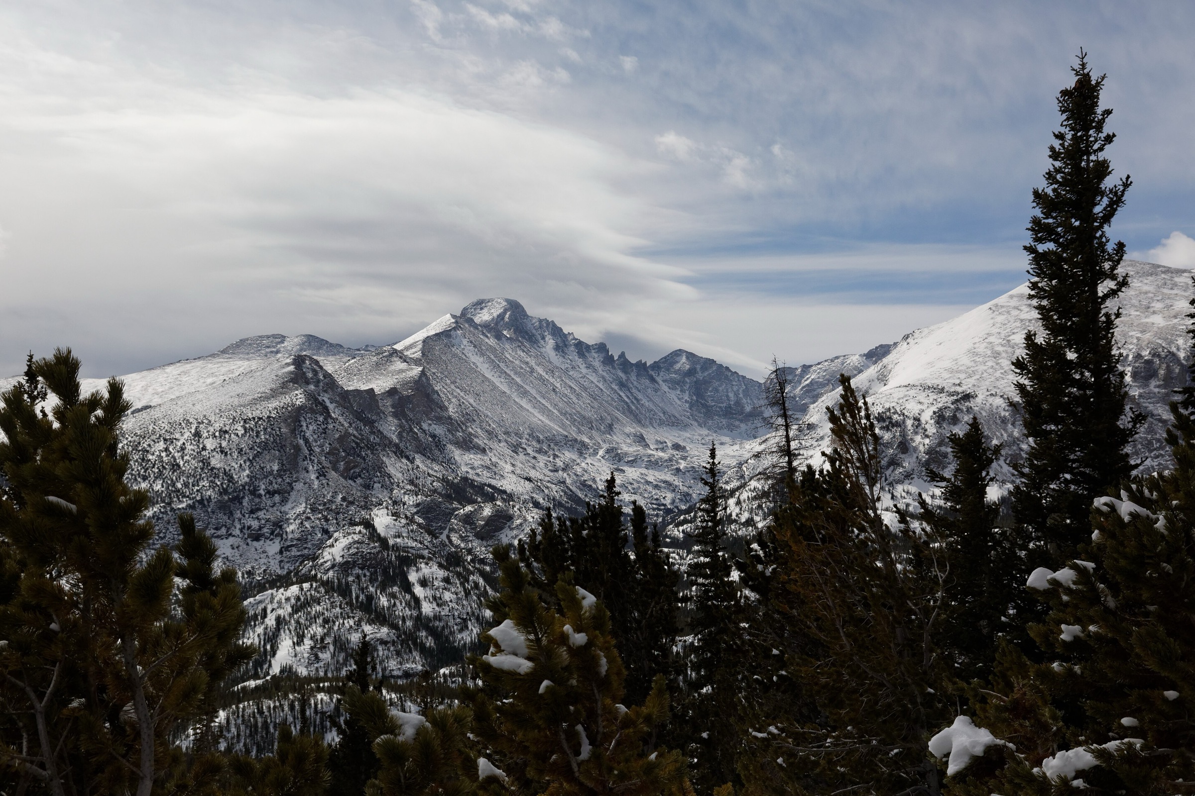
The route leaves the Glen Alps Trailhead at approximately 670 m, climbs the switchbacks of the Blueberry Loop, and then follows the ridge line south-east onto Flattop’s shoulder. The trail is broad and maintained to the shoulder, then narrows into a scree gully for the final 100 m of climbing to the summit block. The last few metres are a hand-over-hand scramble on rounded, occasionally loose rock — this is the section that concentrates the injuries and falls that Alaska DNR references on the trail guide. The summit itself is a broad flat plateau (hence the name) with an open view west to Cook Inlet, north across the Anchorage bowl to Denali on clear days, and south along the Front Range to Ptarmigan Peak and the Suicide Peaks. Return is on the same line back to Glen Alps.
Why it is essential
Flattop is the standard first Anchorage hike and reputedly the most-climbed peak in Alaska. The combination of a maintained trail, a genuine summit scramble, and a full 360° view over the city, the inlet and the Front Range makes it the walk that defines the sector. It is the only front-range hike with a regular shuttle service and the natural starting point for a first trip to the Chugach.
Equipment
- Sturdy boots or trail runners (loose scree on the final scramble)
- Rain jacket and warm layer — weather can flip within an hour
- Water (2 L) and food
- Sun protection
- Trekking poles help on the descent
- Bear spray recommended
- Headtorch for late-summer starts or long shuttle-timing days
Hazards and notes
- The summit block scramble concentrates injuries; Alaska DNR notes that falls have caused fatalities.
- Loose scree on the descent from the summit block; take the same line down as up.
- Brown and black bears use the whole park; moose are common on the lower trail.
- Sudden weather is the norm rather than the exception; be prepared to turn back at the shoulder.
- Glen Alps parking is $5 day-use or covered by the Alaska State Parks annual pass.
GPX / route file
| Source | URL | Format | Notes |
|---|---|---|---|
| Alaska DNR — Flattop Mountain trail guide (PDF) | dnr.alaska.gov | PDF map | Official managing authority; no downloadable GPX |
| Alaska DNR — Chugach State Park index | dnr.alaska.gov | Web page | Park-level source |
| AllTrails — Flattop Mountain Trail | alltrails.com | Web page | Distance and elevation cross-check only |
Sources
- Alaska DNR — Flattop Mountain trail guide (PDF)
- Alaska DNR — Glen Alps Trailhead
- Wikipedia — Flattop Mountain (Anchorage, Alaska)
- Wikimedia Commons — Flattop Mountain Trail
2. Wolverine Peak from Prospect Heights
Snapshot
Itinerary
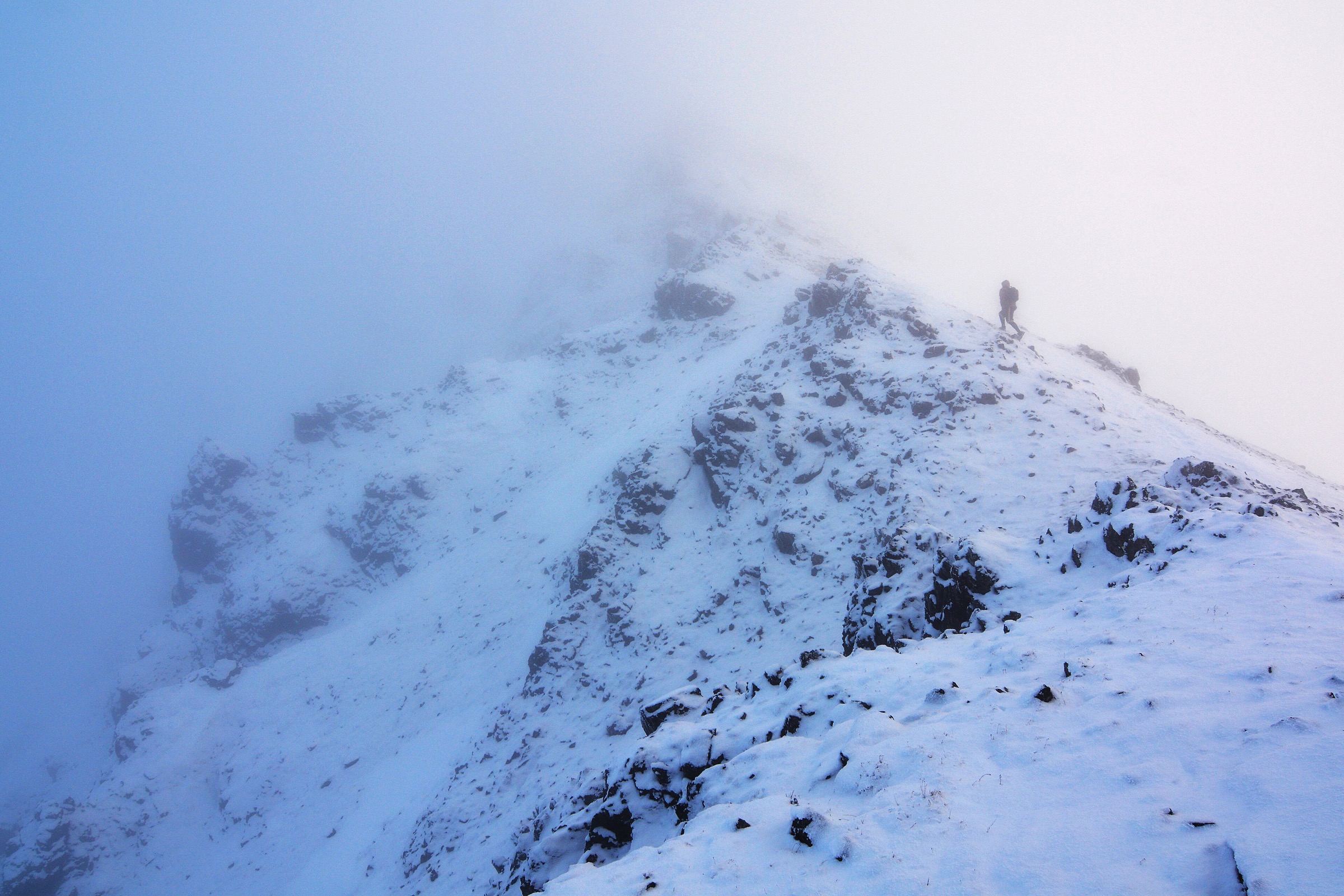
The route starts at Prospect Heights (~320 m) and follows the Wolverine Bowl Trail east across the Middle Fork of Campbell Creek. After the creek crossing the trail climbs steadily through low birch and alder into the open bowl, then swings onto the Wolverine Peak Trail proper for the long, exposed climb along the west ridge. The final kilometre follows the ridge line to the summit at 1,369 m, where the view opens west across the Anchorage bowl and Cook Inlet, north to the Alaska Range on clear days, and east into the deeper Chugach. Return is on the same line back to Prospect Heights. There is no reliable water on the upper ridge; carry enough for the whole day.
Why it is essential
Wolverine Peak is the ridge summit of the Anchorage Front Range and the natural full-day companion to Flattop. Where Flattop is a half-day scramble, Wolverine is a sustained ridge climb that rewards a full day out on the tundra. It is the walk that most cleanly delivers the front-range experience — the exposed ridge, the tundra flanks, the horizon views back across the city — and the standard training peak for Anchorage-based mountaineers.
Equipment
- Sturdy boots — the upper ridge is loose in places
- Trekking poles for the descent
- Rain jacket and warm layer
- Extra warm layer for the summit
- Water (2.5–3 L — no reliable water on the ridge)
- Sun and wind protection
- Bear spray
- Navigation backup (fog on the ridge can be serious)
- Headtorch for long days near the shoulder seasons
Hazards and notes
- Brown and black bears use the Wolverine Bowl; make noise on the approach through willows.
- Moose are common on the lower trail; give them wide berth, especially cows with calves in spring.
- The upper ridge is fully exposed; sudden weather is common and often violent.
- Prospect Heights parking is $5 day-use or the Alaska State Parks annual pass.
- The Middle Fork bridge on the approach can flood in heavy rain.
GPX / route file
| Source | URL | Format | Notes |
|---|---|---|---|
| Alaska DNR — Wolverine & Williwaw trail system guide (PDF) | dnr.alaska.gov | PDF map | Official managing authority |
| Alaska DNR — Chugach State Park map (PDF) | dnr.alaska.gov | PDF map | Park-level map |
| AllTrails — Wolverine Peak via Prospect Heights | alltrails.com | Web page | Distance and elevation cross-check only |
Sources
- Alaska DNR — Wolverine & Williwaw trail system guide (PDF)
- Wikipedia — Wolverine Peak (Alaska)
- ADF&G — Wildlife Viewing at Chugach State Park
- Wikimedia Commons — Wolverine Peak summit ridge
3. Bird Ridge to Bird Ridge Point
Snapshot
Itinerary
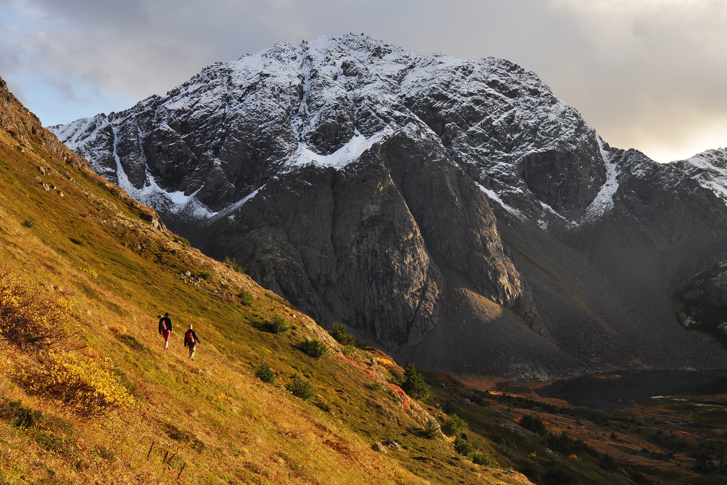
The Bird Ridge Trailhead sits at sea level at the mouth of Bird Creek on the north side of Turnagain Arm. The route follows a boardwalk across the coastal flat for the first 500 m to a signposted junction, then turns north and starts the ridge climb. The gain is close to 1,000 m in the first ridge mile — one of the sharpest sustained pitches in the front range — through low willow and alder, then out onto open, south-facing tundra by 500 m. The ridge line broadens above 800 m and gives an open view down the whole of Turnagain Arm to the west and back across to Bird Point and the Kenai Mountains south. Bird Ridge Point at 1,068 m is the standard turn-around for the day-hike; the ridge continues north-east to Bird Peak (1,595 m) as a longer scramble. Return is on the same line back to the highway.
Why it is essential
Bird Ridge is the Turnagain Arm classic and the earliest snow-free hike of the year in the Anchorage area — the south aspect dries by mid-April and stays walkable into October. It is also the walk that most cleanly frames the tidewater outlook: from the upper ridge the whole arm opens below, with the twice-daily bore tide visible on the mudflats. For visitors on a short trip the ridge combines the sharpest gain in the front range with the biggest scenic reward per hour.
Equipment
- Sturdy boots (loose gravel on the steep sections)
- Trekking poles for the descent
- Sun protection — the ridge is fully exposed
- Water (2 L minimum; more in warm weather)
- Wind layer for the ridge line
- Bear spray (Bird Creek salmon run brings brown bears through late summer)
- Microspikes in shoulder seasons if verglas or lingering snow
Hazards and notes
- The Turnagain Arm mudflats at the trailhead are quicksand-like at any tide; stay off them completely.
- The first mile is the crux — steep, loose in places, and the ridge itself has drop-offs on the north side.
- Bird Creek carries a strong salmon run in July and August; brown bears use the corridor and the lower trail.
- Cornices and residual snow can persist on the upper ridge into July after heavy winters.
- Trailhead parking is $5 day-use or the Alaska State Parks annual pass.
GPX / route file
| Source | URL | Format | Notes |
|---|---|---|---|
| Alaska DNR — Bird Ridge trail guide (PDF) | dnr.alaska.gov | PDF map | Official managing authority |
| Alaska DNR — Turnagain Arm trails brochure (PDF) | dnr.alaska.gov | PDF brochure | Sector-level source |
| AllTrails — Bird Ridge | alltrails.com | Web page | Distance and elevation cross-check only |
Sources
- Alaska DNR — Bird Ridge trail guide (PDF)
- Alaska DNR — Turnagain Arm trails brochure (PDF)
- Eagle River Nature Center — Outdoor Safety
- Wikimedia Commons — Bird Ridge Overlook Peak
4. Rabbit Lake from Canyon Road
Snapshot
Itinerary
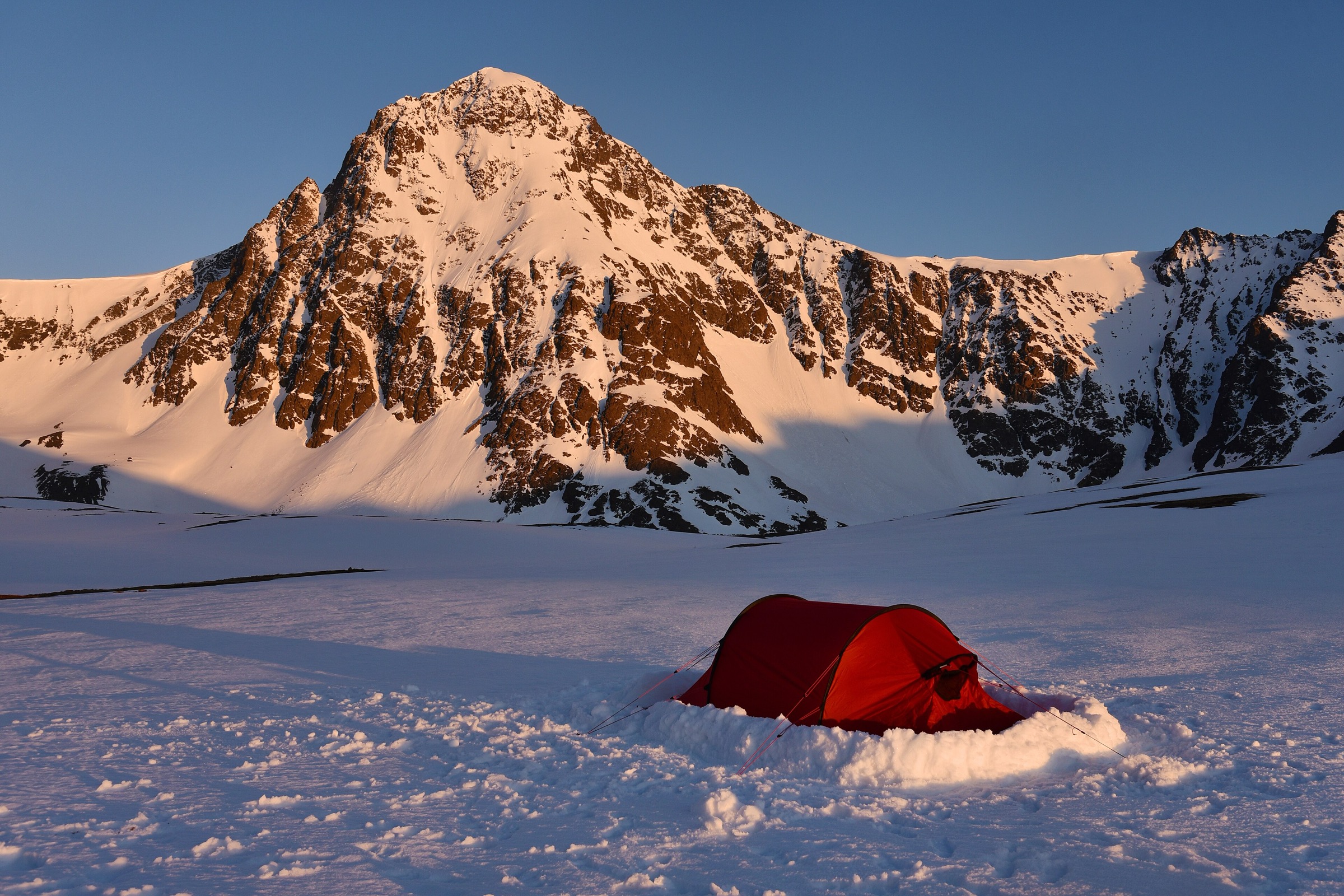
The Canyon Road approach is the standard Hillside route to Rabbit Lake and the shorter of the two options — the McHugh Creek Trailhead on the Turnagain Arm side reaches the same lake by a much longer route across the mountain. From Canyon Road the trail climbs gently through low willow to open tundra, contouring the north side of the Rabbit Creek valley with a broad view south-east to the Suicide Peaks. The graded surface makes for straightforward walking almost the whole way, with only the final kilometre pitching slightly into the cirque. The lake at 975 m sits directly under North and South Suicide Peaks, with a scree slope on the far shore that leads to the pass onto the Rabbit Creek Fork. Most walkers turn around at the lake shore; more experienced parties extend to the McHugh Peak ridge to the north or across to Ship Lake to the south. Return is on the same line back to Canyon Road.
Why it is essential
Rabbit Lake is the definitive tundra-lake cirque of the Anchorage Front Range and the walk that carries the setting under the Suicide Peaks that appears on the cover of this article. Unlike the summit walks, it delivers the deep-range experience — the lake, the cirque, the peaks — on a moderate track with modest gain. It is the natural third or fourth walk of a longer Anchorage trip, after the summits have been done.
Equipment
- Trail runners or light boots — the surface is generally dry and easy
- Rain jacket and warm layer
- Water (2 L; lake water treatment for longer days)
- Sun protection
- Bear spray
- Insect repellent — the lake basin holds mosquitoes into August
- Trekking poles optional
Hazards and notes
- Canyon Road is unpaved and rough at the upper section; sedans manage but slowly.
- Brown and black bears use the Rabbit Creek valley; make noise on the willow sections.
- Moose are common on the lower trail; give calves wide berth in spring.
- The Suicide Peaks above the lake are serious mountaineering objectives — the day-hike ends at the lake.
- Trailhead parking is $5 day-use or the Alaska State Parks annual pass.
GPX / route file
| Source | URL | Format | Notes |
|---|---|---|---|
| Alaska DNR — McHugh & Rabbit Lake trail guide (PDF) | dnr.alaska.gov | PDF map | Official managing authority |
| Alaska DNR — Chugach State Park map (PDF) | dnr.alaska.gov | PDF map | Park-level map |
| AllTrails — Rabbit Lake Trail | alltrails.com | Web page | Distance and elevation cross-check only |
Sources
- Alaska DNR — McHugh & Rabbit Lake trail guide (PDF)
- Alaska DNR — Chugach State Park brochure (PDF)
- Wikimedia Commons — Camping at Rabbit Lake below South Suicide Peak
5. Powerline Pass from Glen Alps
Snapshot
Itinerary
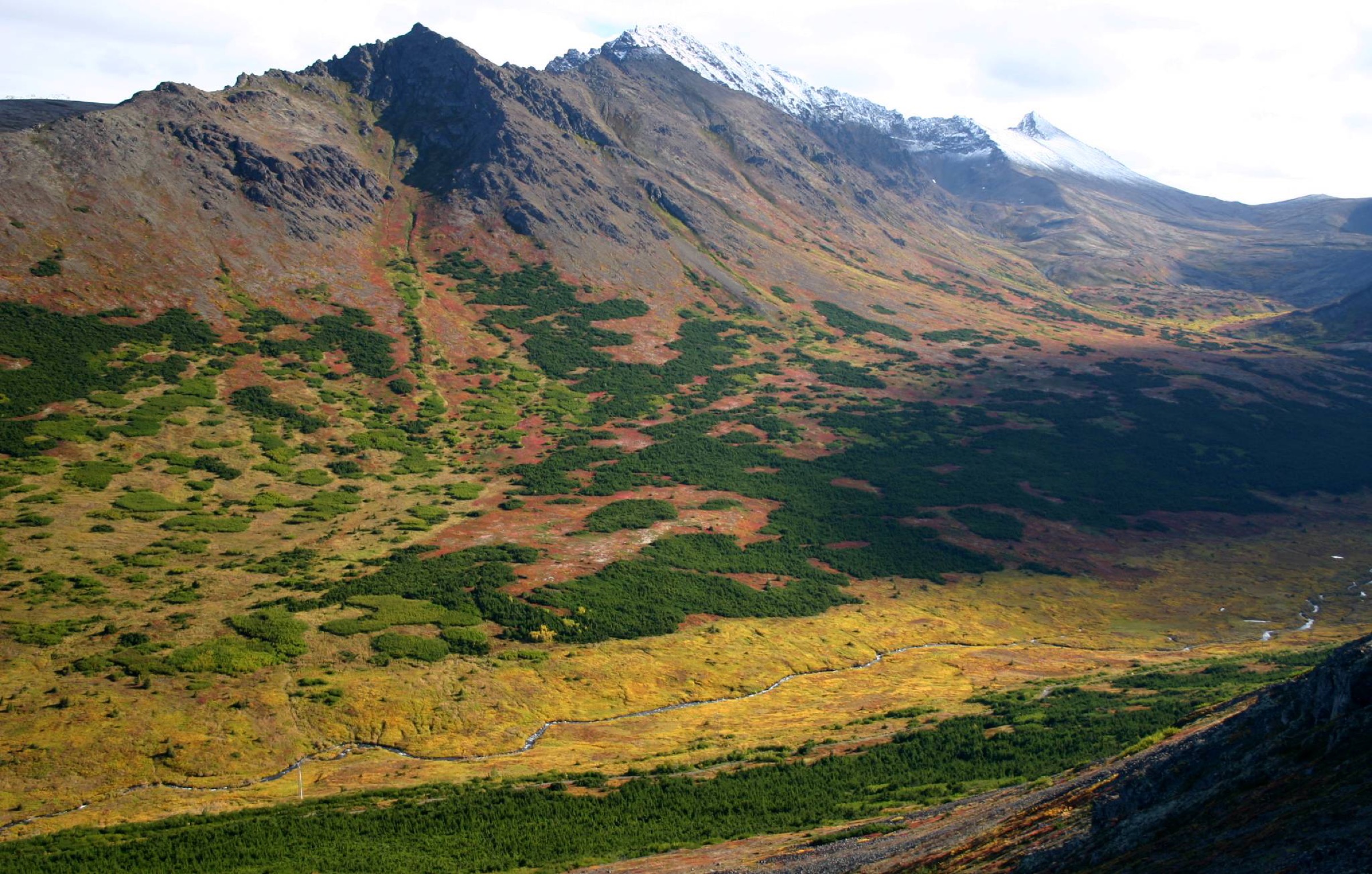
The Powerline Pass Trail leaves Glen Alps as a broad former service road heading south-east up the Campbell Creek valley. The grade is gentle for the first 5 km — a wide gravel track through low tundra with the Hidden Lake bridge and the north face of Flattop off to the right, and the O’Malley and Ramp cirques opening up to the left. The route steepens over the final kilometre onto the pass at approximately 1,100 m, where the powerline crosses the range and drops down the south side toward Indian on Turnagain Arm. From the pass the outlook is south across the Kenai Peninsula and north back to the whole line of the Front Range. Most parties turn around here; the extended variant continues 11.4 miles down to the Indian Trailhead on the highway as a point-to-point requiring a shuttle. Return from the pass is on the same broad track back to Glen Alps.
Why it is essential
Powerline Pass is the long valley classic of the Front Range and the sector’s single most-used year-round route — walked in summer, biked on fat-tyres in winter, skied for the tundra descents, and used as the standard access to The Ramp and Hidden Lake. It is the walk that carries the deepest read into the range from a Hillside trailhead, and the only front-range route where a full day out finishes back at a paved parking lot with an open outlook to Turnagain Arm.
Equipment
- Trail runners or light boots (broad graded surface)
- Rain jacket and warm layer
- Water (3 L)
- Sun protection
- Bear spray — active brown-bear corridor
- Trekking poles helpful for the return descent
- Headtorch for the shoulder seasons
Hazards and notes
- The Campbell Creek valley is a very active brown-bear corridor; carry spray and make noise on the willow sections.
- Fully exposed above the hemlock burn; weather changes rapidly.
- The route is long — turn back with time in hand rather than push the pass in poor weather.
- Fat-bike and ski traffic in winter uses the same corridor; walkers should expect shared use.
- Trailhead parking is $5 day-use or the Alaska State Parks annual pass.
GPX / route file
| Source | URL | Format | Notes |
|---|---|---|---|
| Alaska DNR — Chugach State Park recreational opportunities | dnr.alaska.gov | Web page | Official managing authority |
| Alaska DNR — Chugach State Park map (PDF) | dnr.alaska.gov | PDF map | Park-level map |
| AllTrails — Powerline Pass Trail | alltrails.com | Web page | Distance and elevation cross-check only |
Sources
- Alaska DNR — Chugach State Park recreational opportunities
- Alaska DNR — Chugach State Park brochure (PDF)
- Wikipedia — The Ramp (Alaska)
- Wikimedia Commons — Powerline Pass Chugach State Park
Region-level sources
| Source | URL |
|---|---|
| Alaska DNR — Chugach State Park index | dnr.alaska.gov |
| Alaska DNR — Chugach State Park brochure (PDF) | dnr.alaska.gov |
| Alaska DNR — Chugach State Park map (PDF) | dnr.alaska.gov |
| Alaska DNR — Recreational Opportunities | dnr.alaska.gov |
| Alaska DNR — Turnagain Arm trails brochure (PDF) | dnr.alaska.gov |
| Alaska DNR — Glen Alps trailhead | dnr.alaska.gov |
| ADF&G — Wildlife Viewing at Chugach State Park | adfg.alaska.gov |
| Eagle River Nature Center — Outdoor Safety | ernc.org |
| Anchorage People Mover — routes and stops | muni.org |
| Flattop Mountain Shuttle | anchorage.net |
| Wikipedia — Chugach State Park | en.wikipedia.org |
| Wikipedia — Flattop Mountain (Anchorage, Alaska) | en.wikipedia.org |
| Wikipedia — Wolverine Peak (Alaska) | en.wikipedia.org |
Further reading
- Prince William Sound Chugach — essential day-hikes — the coastal Chugach on the far side of Turnagain Arm
- Thompson Pass / Valdez Chugach — essential day-hikes — the eastern Chugach around Valdez
- Kenai Mountains — Kenai Fjords day-hikes — the range across Turnagain Arm to the south
- Kenai Mountains — Resurrection Pass and Hope day-hikes — the classic long-distance and day-walking sector inland from Turnagain Arm
Missing data / follow-up work
- Alaska DNR does not publish a spot elevation for Powerline Pass; the ~1,100 m figure used here is derived from the Chugach State Park map contours and should be treated as approximate.
- The DNR trail-guide PDFs are the primary source of the distance and elevation figures in this article. Where GPS-recorded totals from AllTrails differ (typically higher for Rabbit Lake, higher for Wolverine Peak, close to DNR for Flattop and Bird Ridge), the DNR figures are used.
- No official Alaska DNR GPX downloads are published for any of the five walks. The AllTrails links are secondary source-checks and their track exports require an AllTrails Plus account.
- The Flattop Mountain Shuttle timetable and dates change from year to year; confirm operation directly with the operator before travel.
- Parking fees and Alaska State Parks pass rates are current as of publication; confirm at the trailhead card kiosk.