Regional overview
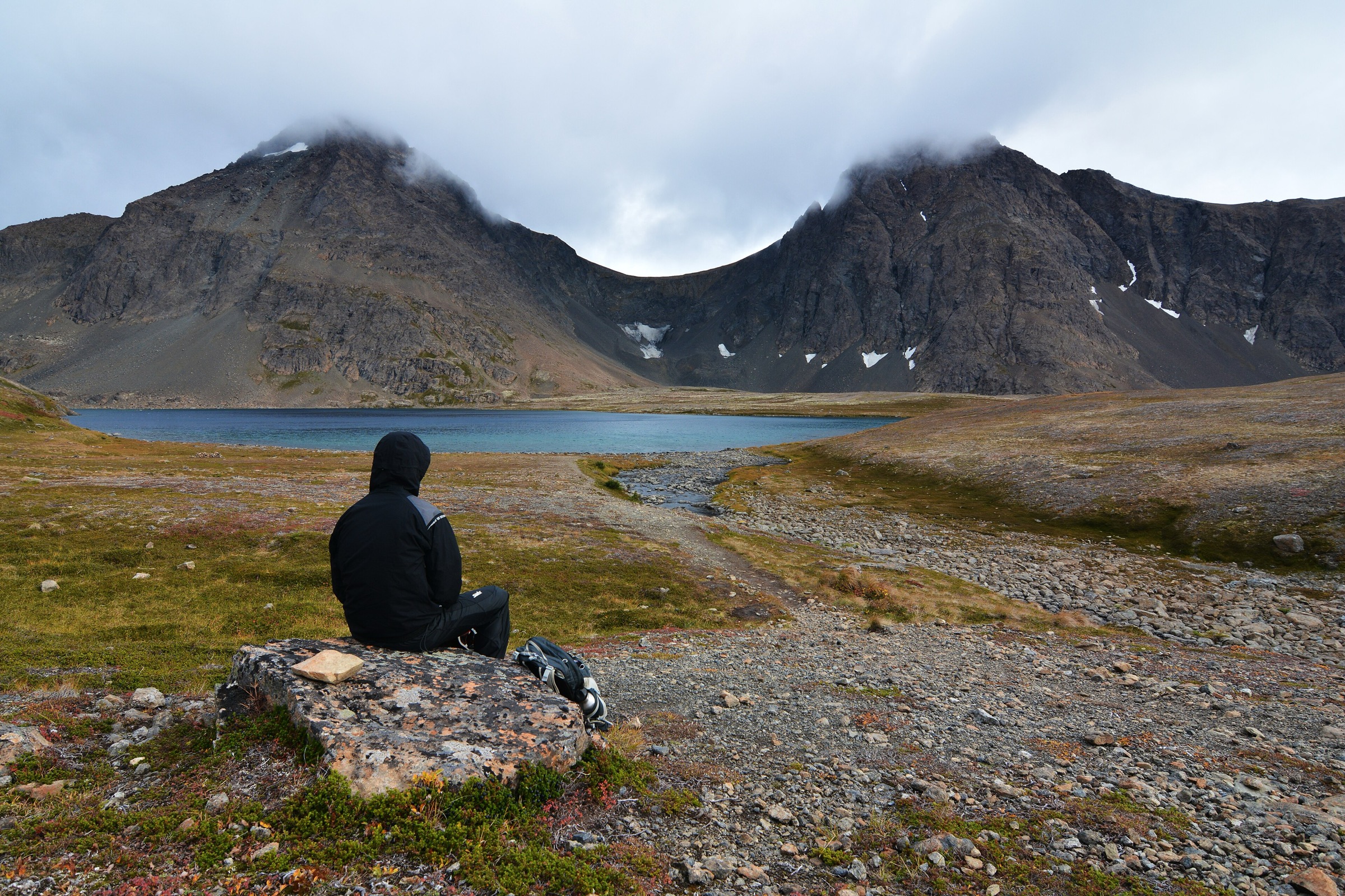
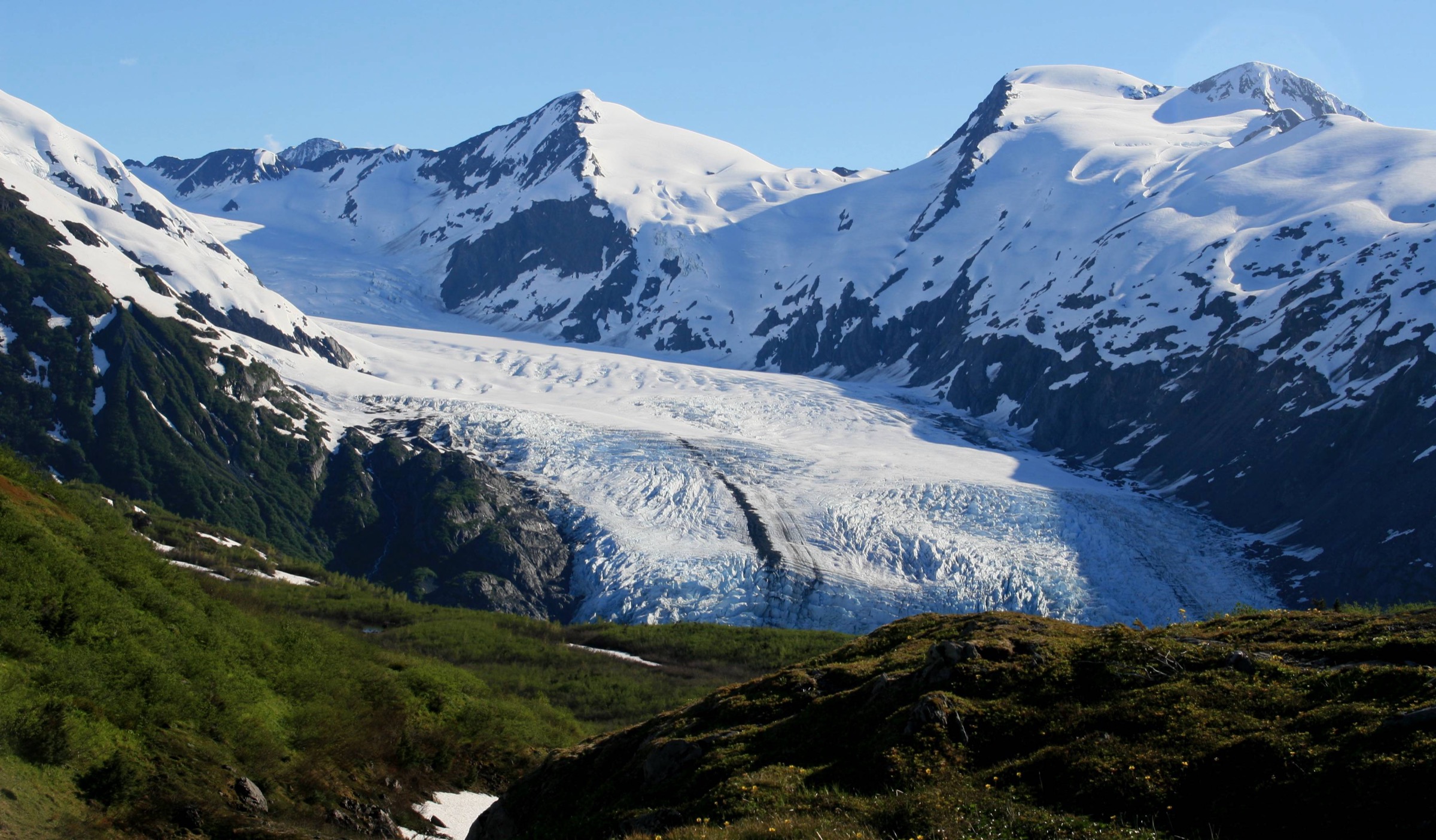
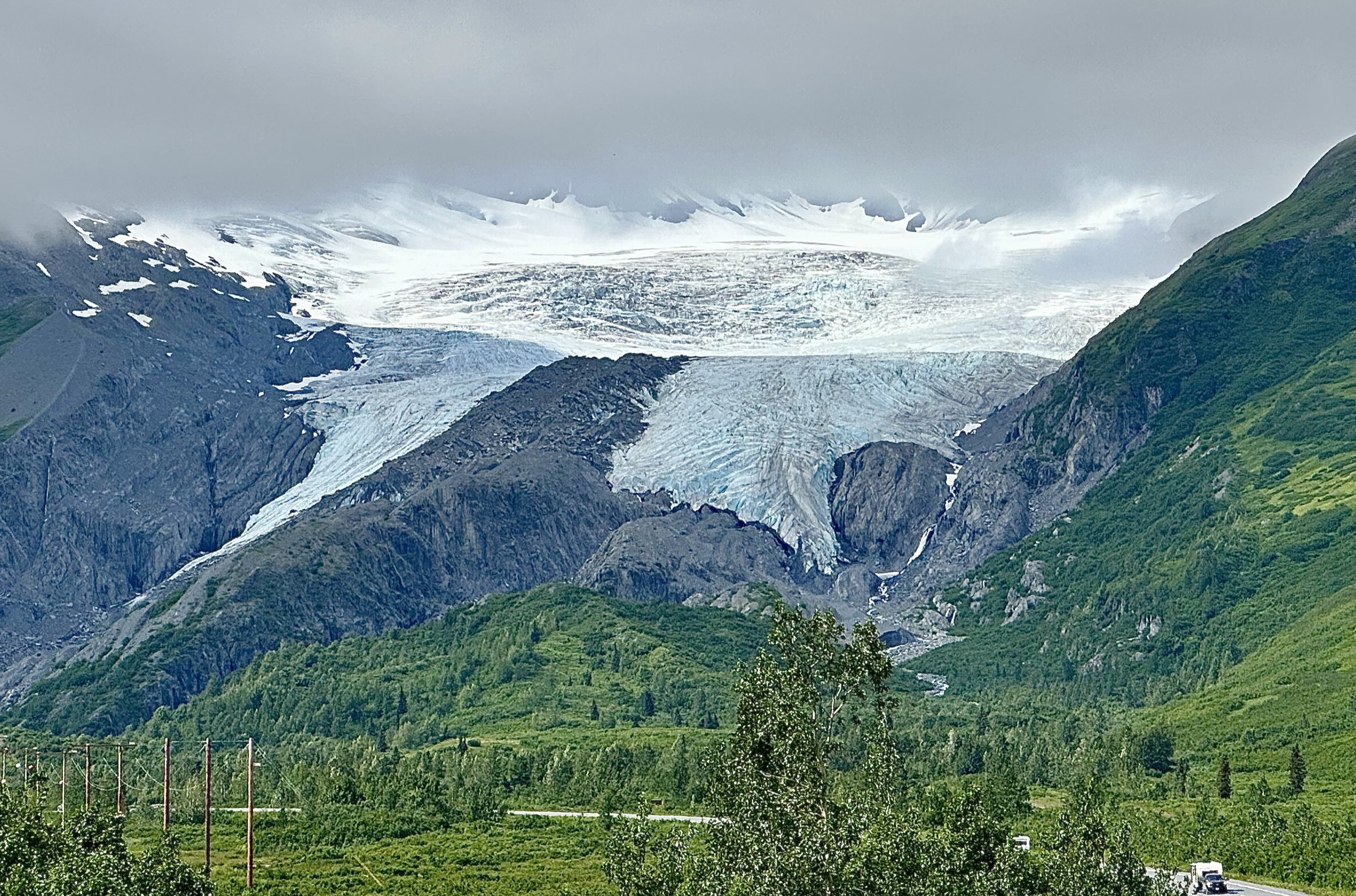
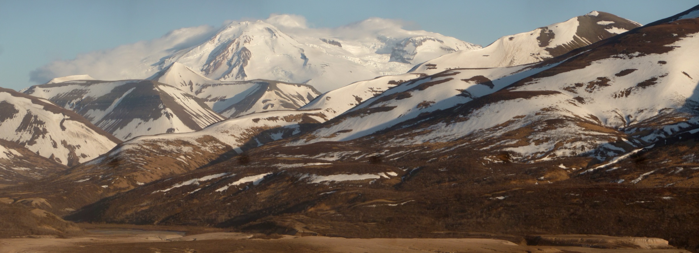
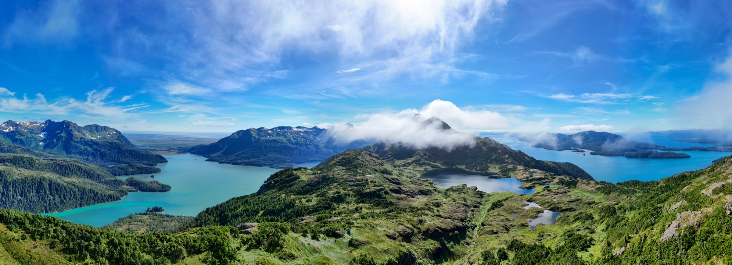
Cordova sits on the eastern edge of Prince William Sound, at the hinge between the coastal Chugach Mountains to the west and the ice-buried massifs of the Wrangell–St. Elias Range to the east. Behind the town, forested ridges climb quickly out of the Sound into a compact alpine zone of tarns, hanging glaciers, and open subalpine muskeg; east of town, the Copper River Delta — the largest contiguous wetland on the Pacific coast of North America — stretches for 60 km between the mountains and the Gulf of Alaska. Almost the entire hiking country here is administered by the Chugach National Forest under the Cordova Ranger District, and the road network that reaches it — the 78 km Copper River Highway — is a short spur that ends near the collapsed 1910 Million Dollar Bridge and does not connect to the wider Alaska highway system.
The town is reached only by Alaska Marine Highway ferry from Whittier or Valdez or by air from Anchorage or Juneau; there is no road connection. This isolation shapes the walking: trailheads are quiet, information tends to be USFS and Cordova Ranger District rather than mass-market, and even the flagship Crater Lake or Sheridan Mountain trails see far fewer walkers on a given summer day than any of the equivalent routes on the Kenai Peninsula. The Chugach National Forest’s Cordova visitor centre and district office are the reference points for current conditions, closures, and cabin bookings.
The Chugach–Wrangell transition is climatically maritime and generally wet. Rainfall is high — annual totals of 250–500 cm at sea level are normal — and clear days on the ridges are the exception rather than the rule. Snow is reliably clear from low-elevation trails by mid-May, but Crater Lake, Sheridan Mountain and Heney Ridge above treeline can hold snow into June, and returning snow closes the alpine walks from October. The delta trails stay usable longer at the shoulders. Wind and rain shifts on the Sound are abrupt.
Bears — both brown and black — are dense throughout the Cordova district; the Copper River drainages hold some of the highest brown-bear densities in North America, and any walk here should be treated as bear country. Bear spray is expected on all five routes below, and USFS food-storage rules apply at any of the district’s public-use cabins. Bugs peak in late June and July on the delta.
For neighbouring sectors, see the sister catalogues on the Prince William Sound Chugach — the western fjord walks including Power Creek in Cordova — and the Thompson Pass and Valdez Chugach, which covers the Richardson Highway side of the range.
Selection rationale
The five routes below sample the full character of the Cordova and Copper River Delta country: two alpine ascents into the coastal Chugach behind town, one lake-and-cabin walk into the delta forest, one ridge day above Hartney Bay, and one short interpretive walk on the Copper River Delta itself. Crater Lake is the flagship steep alpine walk — the direct climb from town to a hanging tarn under Eyak Ski Hill. Sheridan Mountain is the classic hanging-glacier ridge day on the Sheridan Glacier road. McKinley Lake is the delta forest walk that gives access to the historic Lucky Strike Mine and a pair of USFS public-use cabins. Heney Ridge is the maritime ridge with a distant Kayak Island view on clear days. Haystack Trail closes the selection as the interpretive boardwalk to the Copper River Delta viewpoint — the short walk that best frames the delta’s scale and its trumpeter-swan corridor.
The Power Creek Trail is intentionally excluded from this catalogue because it is covered in the Prince William Sound Chugach entry as the Cordova representative of that sector. The full Crater Lake–Power Creek linked loop (~19 km) is noted below as an extension of the Crater Lake route but not treated as a standalone day-hike here.
Summary
| # | Hike | Trailhead | Route type | Distance | Gain | Max elevation | Difficulty |
|---|---|---|---|---|---|---|---|
| 1 | Crater Lake Trail | Eyak Lake / Whitshed Rd (Cordova) | Out-and-back | ~8.4 km | ~445 m | ~460 m | Hard |
| 2 | Sheridan Mountain Trail | Sheridan Glacier Rd end (CRH mile 13.7) | Out-and-back | ~9.0 km | ~490 m | Alpine ridge | Hard |
| 3 | McKinley Lake Trail | Copper River Hwy mile 21.4 | Out-and-back | ~7.8 km | ~150 m | ~18 m at lake | Easy |
| 4 | Heney Ridge Trail | Whitshed Rd / Hartney Bay (Cordova) | Out-and-back | ~12.0 km | ~530 m | Alpine ridge | Hard |
| 5 | Haystack Trail | Copper River Hwy mile 19.2 | Out-and-back | ~2.6 km | Minimal | Delta knoll | Easy |
1. Crater Lake Trail
Snapshot
Itinerary
The trail leaves the Crater Lake Trailhead on Whitshed Road at the east side of Eyak Lake, close to sea level, and climbs immediately into the coastal spruce–hemlock forest on the flank of Eyak Mountain. The tread is steep from the first switchback — the route gains most of its 445 m in a series of short, muddy zigzags on rock steps, wooden ladders and boardwalk sections. At approximately 1.9 km an intertie branches west to the Eyak Ski Hill Trail, giving a shorter loop option back to town on rougher tread.
The main line continues to climb through progressively more open subalpine cover, reaching Crater Lake at approximately 460 m — a small alpine tarn set in a shallow basin under the crest of Eyak Mountain, with a view back across Eyak Lake, the Copper River Delta, and the Gulf of Alaska on clear days. Most walkers turn round here. Strong parties with the daylight can continue on the Alice Smith Intertie north-west across the ridge to link with the Power Creek Trail, closing a ~19 km loop that returns via the Power Creek drainage to the Power Creek trailhead — an option only for parties with a shuttle car or the fitness to add the road walk back to town.
Why it is essential
Crater Lake is the direct alpine walk from town and the walk that most cleanly delivers the coastal Chugach’s compressed altitudinal sequence — sea-level rainforest to alpine tarn in under 3 km. The lake basin sits close enough to the crest to give a full view down the Copper River Delta and out across Prince William Sound, and the trail is the reference stiff climb of the Cordova Ranger District.
Equipment
- Sturdy waterproof boots — tread stays wet through the summer
- Trekking poles for the descent
- Rain jacket and warm layer — coastal weather turns fast
- Water (2 L)
- Bear spray — brown and black bear both present
- Microspikes early in the season if the upper switchbacks hold snow
Hazards and notes
- Steep sustained climb with wet rock, mud and wooden ladders; slippery in rain and in early-season snow.
- Bears are dense in the drainage; carry spray and hike with noise on blind corners.
- Weather can turn from clear to rain and low cloud within an hour; the summit basin loses views quickly.
- The Alice Smith Intertie to Power Creek is longer and rougher than the main trail — do not commit to the full loop without daylight in reserve.
GPX / route file
| Source | URL | Format | Notes |
|---|---|---|---|
| USFS Chugach NF — Crater Lake Trail | fs.usda.gov | Web page | Official managing authority |
| Alaska.org — Crater Lake Trail | alaska.org | Web page | Distance and route cross-check |
Sources
2. Sheridan Mountain Trail
Snapshot
Itinerary
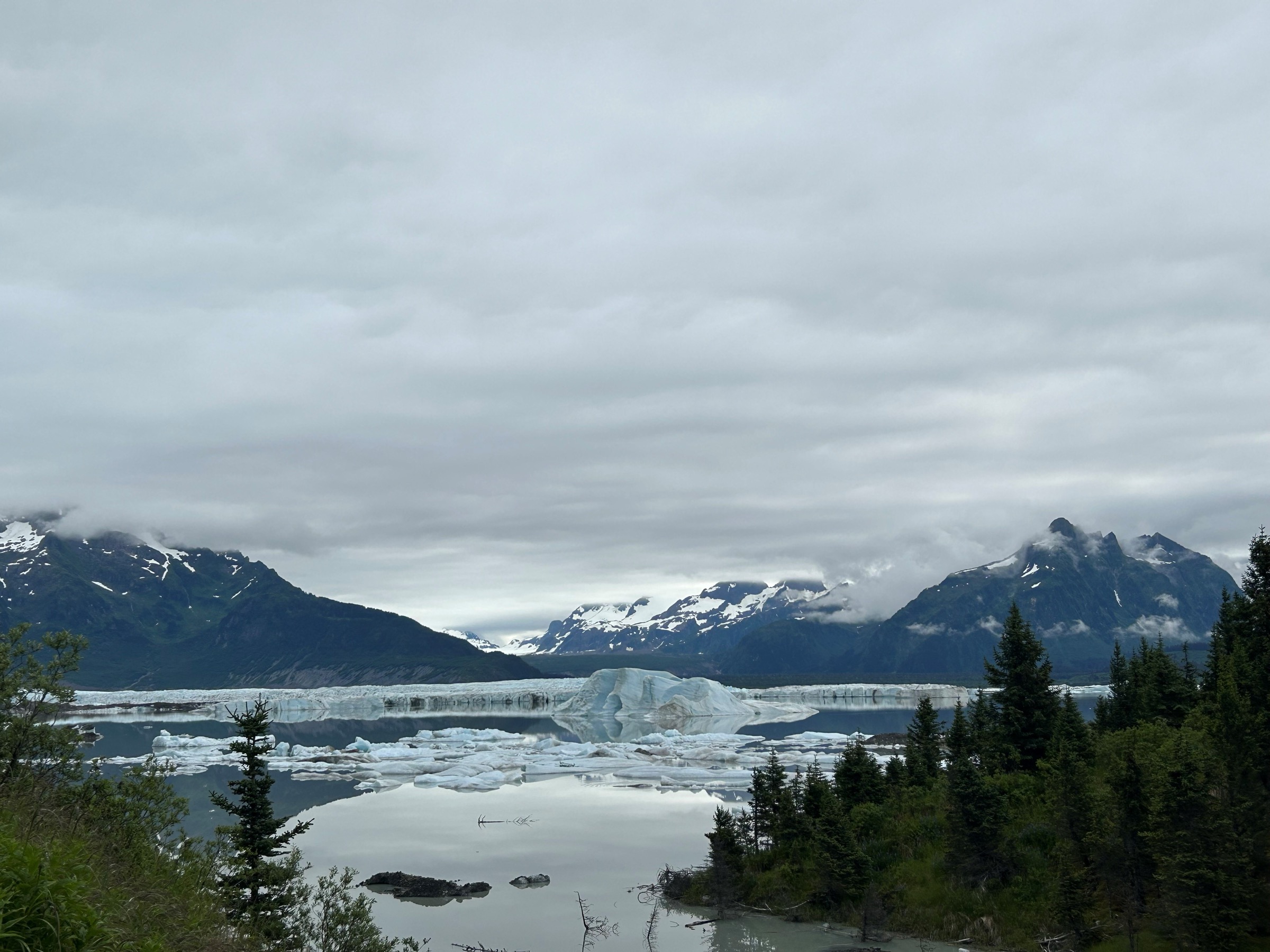
The trail leaves the end of Sheridan Glacier Road — a 4.3 mi (~6.9 km) spur off the Copper River Highway at mile 13.7 — and climbs immediately from the parking area at the lower moraine of Sheridan Glacier. The first 1.9 mi (~3.1 km) crosses a 17(b) easement on native-corporation land and follows a boardwalked, muddy line through mixed spruce and hemlock; this is the section that most cleanly frames the glacier’s lower icefall, with the ice visible through breaks in the forest on the north side.
Above the easement the trail climbs more steeply through the last of the treeline and onto the alpine ridge of Sheridan Mountain. The upper section is unmaintained, marked mostly by rock cairns, and gains the last of its elevation on open scree and tundra. The turnaround is the alpine basin under the summit — the walk that most cleanly puts the glacier’s full length into view from above. Return is on the same line back to the car.
Why it is essential
Sheridan Mountain is the Cordova Ranger District’s flagship alpine day-hike — the walk that most cleanly delivers the coastal Chugach’s characteristic pattern of a low-elevation forest approach opening onto a big-glacier view from an alpine ridge. It is the reference route for anyone with the fitness to leave the delta trails behind for a day.
Equipment
- Sturdy waterproof boots
- Trekking poles
- Rain jacket, warm layer, hat and gloves for the ridge
- Water (2.5 L; treat creek water on the lower section)
- Sun and wind protection
- Bear spray
- Navigation backup — the upper trail is cairned rather than signed
- Microspikes if the ridge holds snow (into June)
Hazards and notes
- Upper trail is unmaintained; tread fades into open scree and tundra. Do not push past the last cairn if visibility drops.
- Bears active in the lower forest; carry spray.
- Weather on the ridge shifts fast — leave a turn-back time and stick to it.
- The 17(b) easement crosses private land; stay on the trail and respect any posted rules.
- Sheridan Glacier Road is graded gravel; passable in a standard vehicle in dry conditions.
GPX / route file
| Source | URL | Format | Notes |
|---|---|---|---|
| USFS Chugach NF — Sheridan Mountain Trail | fs.usda.gov | Web page | Official managing authority |
| Cordova Chamber — Ready, Set, Hike! | cordovachamber.com | Web page | Trailhead and distance cross-check |
Sources
3. McKinley Lake Trail
Snapshot
Itinerary
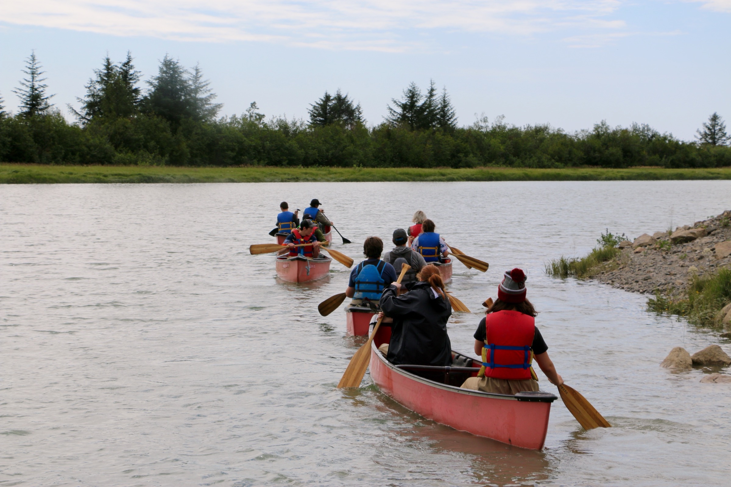
The trail leaves the McKinley Lake Trailhead at mile 21.4 of the Copper River Highway and follows a graded, boardwalked line through the coastal spruce–hemlock forest that carpets the north edge of the Copper River Delta. The tread stays close to level for the full length, with short raised boardwalk sections where it crosses the wetter ground. At approximately 3.9 km the trail reaches the shore of McKinley Lake — a shallow basin lake ringed by forest, with a USFS public-use cabin on the shore.
A short, rougher continuation of about 0.25 mi (400 m) beyond the cabin reaches the surviving stampers and structural remains of the Lucky Strike Mine, worked briefly in the early twentieth century. The Pipeline Lakes Trail — a separate 1.8 mi (~2.9 km) one-way spur from the same trailhead — can be added on the same day for anyone with the time and interest; it is essentially flat and passes through a similar delta-forest landscape.
Why it is essential
McKinley Lake is the flat delta walk that most cleanly delivers the Copper River Delta’s forest character — the temperate rainforest hinterland that separates the mountains from the estuary. It is the accessible route in this catalogue, usable earlier in the shoulder season than the alpine routes, and the walk that anchors an easy day around one of the district’s public-use cabins.
Equipment
- Waterproof boots — mud and standing water in wet weather
- Rain jacket
- Water (1.5 L)
- Bug spray in season
- Bear spray
- Optional: cabin reservation from recreation.gov if planning to stay
Hazards and notes
- Black bears are common in the drainage; brown bears use the delta.
- Bugs peak in late June and July.
- The Lucky Strike Mine extension is on rougher, unmaintained tread; stay clear of collapsing timbers.
- Trailhead parking is small and shared with the Pipeline Lakes Trail.
GPX / route file
| Source | URL | Format | Notes |
|---|---|---|---|
| USFS Chugach NF — McKinley Lake Trail | fs.usda.gov | Web page | Official managing authority |
| Cordova Chamber — Ready, Set, Hike! | cordovachamber.com | Web page | Distance and cabin cross-check |
Sources
4. Heney Ridge Trail
Snapshot
Itinerary
The trail leaves the Heney Ridge Trailhead on Whitshed Road south of Cordova, close to Hartney Bay on the west side of the town. The first mile is a 17(b) easement across native-corporation land, following a boardwalked line through muskeg and mixed spruce–hemlock; from the easement boundary the trail continues into Chugach National Forest and climbs through subalpine forest and open muskeg.
The upper section climbs steeply out of the last of the trees and onto the alpine ridge of Mount Heney. The tread on the ridge is marked by rock cairns rather than signed, and the final approach to the crest is loose and exposed. From the ridge on a clear day the view runs south across Prince William Sound to Kayak Island — the point where Vitus Bering made his 1741 landfall — and north-east back across Cordova to the crest of the coastal Chugach. Return is on the same line back to the trailhead.
Why it is essential
Heney Ridge is the maritime alpine walk of Cordova — the counterpoint to Crater Lake and Sheridan Mountain. Where those two look inland into the coastal Chugach, Heney Ridge looks south across the Sound to the outer coast, and the summit view on a clear day is the walk that most cleanly frames the district’s position at the outer edge of the range.
Equipment
- Sturdy waterproof boots
- Trekking poles for the steep descent
- Rain jacket, warm layer, hat and gloves — the ridge carries wind
- Water (2.5 L)
- Sun and wind protection
- Bear spray
- Navigation backup — the ridge is cairned
- Microspikes early or late in the season
Hazards and notes
- The upper mile is unmaintained and cairned; do not push past the last cairn in low visibility.
- The 17(b) easement crosses private land; stay on the trail.
- Bears active in the lower forest and on the muskeg.
- Weather on the ridge changes fast — leave a turn-back time.
- Trailhead parking is limited; overflow parking is on the shoulder of Whitshed Road.
GPX / route file
| Source | URL | Format | Notes |
|---|---|---|---|
| USFS Chugach NF — Heney Ridge Trail | fs.usda.gov | Web page | Official managing authority |
| Cordova Chamber — Ready, Set, Hike! | cordovachamber.com | Web page | Distance and trailhead cross-check |
Sources
5. Haystack Trail
Snapshot
Itinerary
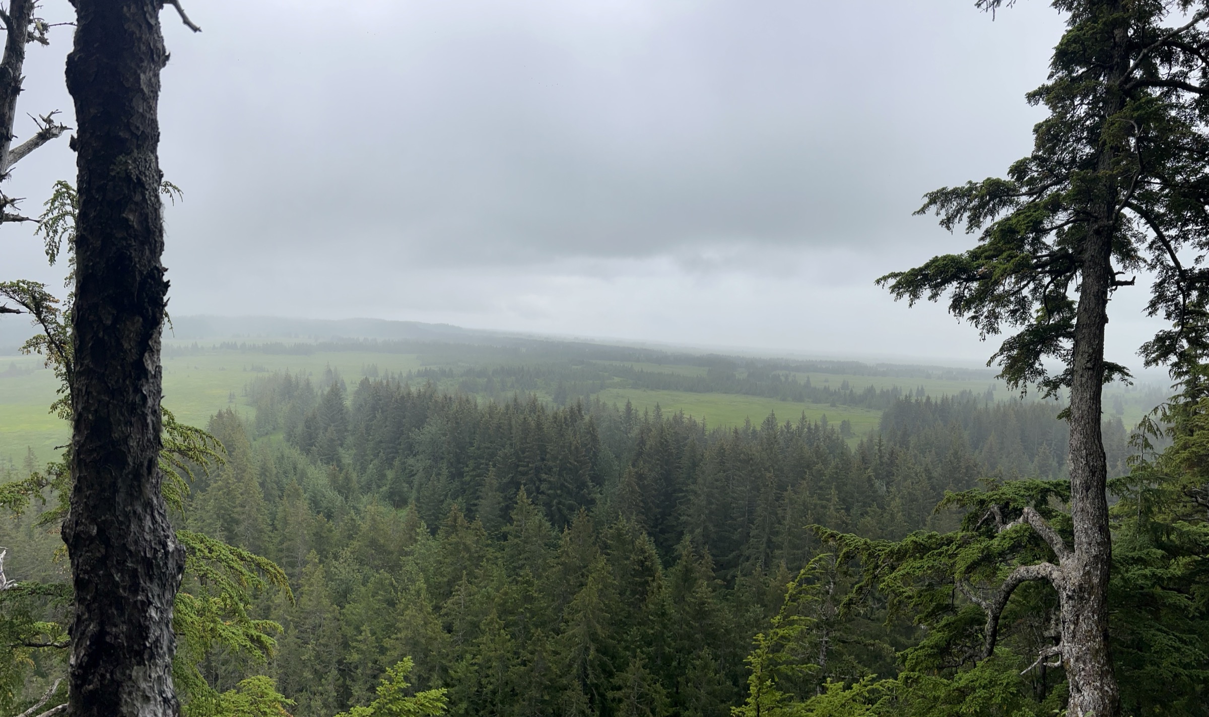
The trail leaves the Haystack Trailhead at mile 19.2 of the Copper River Highway and follows a mostly-boardwalk line through spruce and muskeg, climbing gently to the Haystack — an isolated forested knoll above the surrounding delta wetland. Rest benches punctuate the walk. From the overlook at the top of the knoll the view runs south across the Copper River Delta to the Gulf of Alaska and, on clear days, to Kayak Island on the outer coast. The delta is a critical stopover on the Pacific Flyway; trumpeter swans, moose, and wetland waterfowl are the reliable wildlife interest.
Why it is essential
Haystack is the short interpretive walk that most cleanly frames the Copper River Delta’s scale — the point on the highway where the delta stops being a set of pull-offs and becomes a single continuous landscape. It is the walk that a visitor with an afternoon and no ambition for alpine ground can complete without gear or fitness reserve, and the natural pairing with a delta drive.
Equipment
- Walking shoes; the boardwalk is level and dry
- Rain jacket
- Binoculars — the delta is the region’s headline wildlife-viewing walk
- Bug spray in season
Hazards and notes
- Bears use the delta; do not leave food unattended at the trailhead.
- Boardwalk can be slippery in rain.
- Trumpeter-swan viewing is best in spring; note that swans nest in the delta and should not be approached.
- Trailhead parking is small.
GPX / route file
| Source | URL | Format | Notes |
|---|---|---|---|
| Cordova Chamber — Ready, Set, Hike! | cordovachamber.com | Web page | Distance and trailhead cross-check |
| USFS Chugach NF — Haystack Trail | fs.usda.gov | Web page | Official managing authority (site returning access error at time of writing — verify locally) |
Sources
Region-level sources
| Source | URL |
|---|---|
| USFS Chugach National Forest | fs.usda.gov |
| USFS Chugach NF — Crater Lake Trail | fs.usda.gov |
| USFS Chugach NF — Sheridan Mountain Trail | fs.usda.gov |
| USFS Chugach NF — McKinley Lake Trail | fs.usda.gov |
| USFS Chugach NF — Heney Ridge Trail | fs.usda.gov |
| Cordova Chamber of Commerce — Ready, Set, Hike! | cordovachamber.com |
| Alaska.org — Crater Lake Trail | alaska.org |
| Wikipedia — Cordova, Alaska | en.wikipedia.org |
| Wikipedia — Copper River Delta | en.wikipedia.org |
Further reading
- Prince William Sound Chugach — essential day-hikes — the western fjord walks around Whittier, Girdwood, Portage and the Cordova-side Power Creek Trail
- Thompson Pass and Valdez Chugach — essential day-hikes — the Richardson Highway side of the range, with Worthington Glacier, Mineral Creek and Solomon Gulch
Missing data / follow-up work
- No official downloadable GPX or KML files were located for any of the five routes; route geometry can be exported from the USFS Chugach NF trail portal or from OpenStreetMap.
- The USFS Haystack Trail page returned an access error at the time of writing; distance and description above are from the Cordova Chamber and should be re-verified against the USFS listing before travel.
- Sheridan Mountain and Heney Ridge maximum elevations are alpine-ridge values that the USFS does not publish as a single spot elevation; the values quoted are gain from the trailhead.
- The Crater Lake to Power Creek loop extension (~19 km) is a strong-party day only; verify current condition of the Alice Smith Intertie with the Cordova Ranger District before committing.
- Cabin availability and reservation windows at the McKinley Lake USFS public-use cabins change annually; check recreation.gov for the current-year booking window.
- Ferry schedules and Copper River Highway conditions need same-week confirmation before travel; the Alaska Marine Highway system and the USFS Cordova Ranger District office are the reference sources.