Regional overview
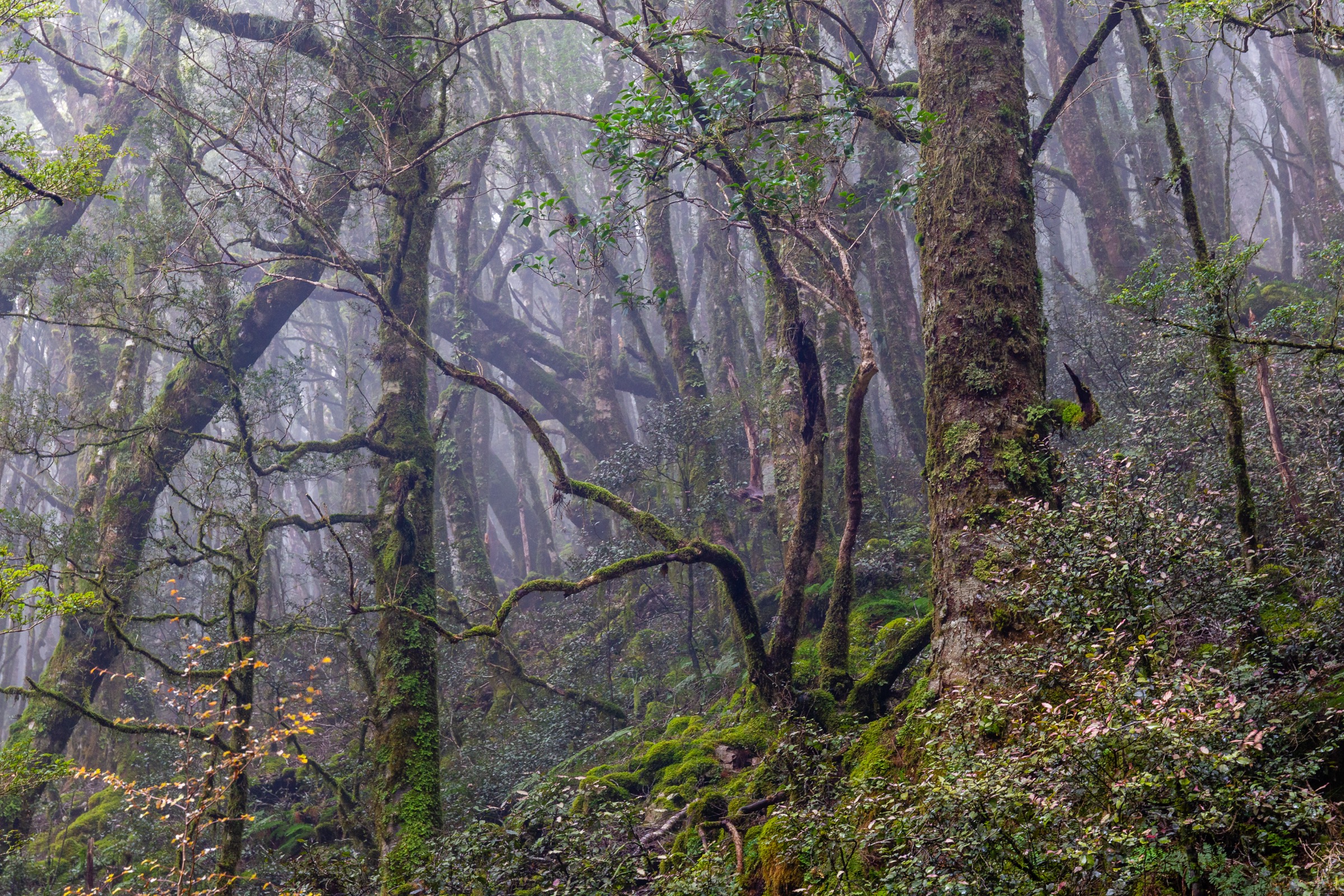
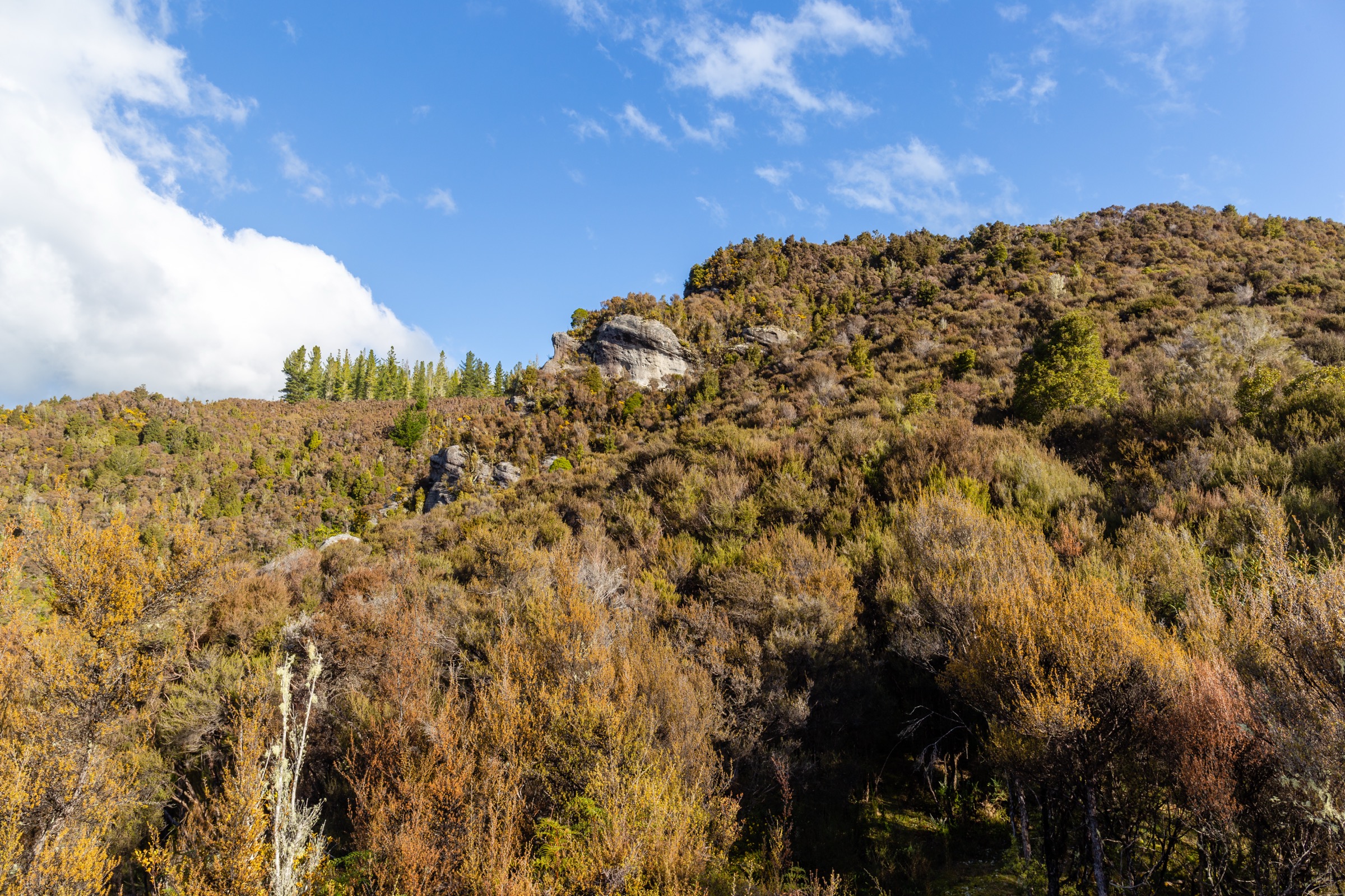
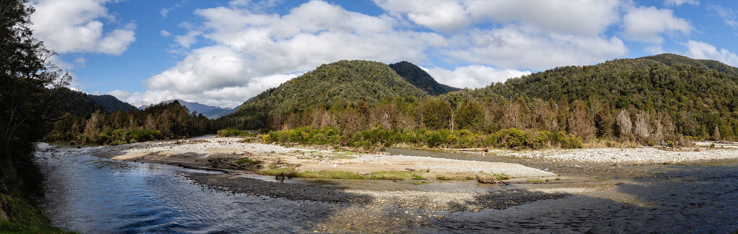
The northern Victoria Range sits around the Reefton, Waitahu, Larrys Creek and Rahu Saddle side of Victoria Forest Park. The walking character is West Coast backcountry: dense beech and podocarp forest, old gold-mining access tracks, wet underfoot conditions, steep bush ridges, and occasional open tops on the Rahu Saddle side.
Access is from Reefton via State Highway 7 to the Rahu Saddle trailheads, and via Waitahu / Gannons Road for the Kirwans Track approach. DOC’s Reefton walks brochure remains the strongest single source for this sector; several routes are officially described as tramping routes rather than easy walks, and elevation and maximum-height data are sparse.
Selection rationale
These five hikes cover the northern sector’s main themes: a compact tops objective on Mt Haast, a lake / stream tramping route to Lake Stream Hut, a short creek-and-gorge route at Duffy Creek, a mining-history forest walk at Larrys Creek, and the lower Waitahu section of the Kirwans Track to Montgomerie Hut. Kirwans is officially promoted as a 2–3 day tramp to Kirwans Hut, so the day form used here is the Waitahu Road → Montgomerie Hut section rather than the full traverse.
Summary table
| # | Hike | Country | Route type | Distance | Approx. gain | Difficulty |
|---|---|---|---|---|---|---|
| 1 | Mt Haast Route | New Zealand | Out-and-back | ~5–5.1 km return | ~911 m | Hard |
| 2 | Lake Stream Hut via Lake Stream Track | New Zealand | Out-and-back | ~14.4 km return | ~503 m one way | Hard |
| 3 | Duffy Creek Route | New Zealand | Out-and-back | DOC: 4.4 km return | ~575 m (AllTrails variant) | Hard |
| 4 | Larrys Creek Track | New Zealand | Return / loop variant | ~4–4.8 km | ~98 m | Easy–moderate |
| 5 | Waitahu Road to Montgomerie Hut on Kirwans Track | New Zealand | Out-and-back, hut-based | ~23 km return | Moderate (unresolved) | Hard / long day |
Before you go
Permits and access
All five routes lie inside Victoria Forest Park, managed by DOC. No permits are required for day walking. Montgomerie Hut and Kirwans Hut are Backcountry Huts on the Kirwans Track; day travellers do not book but should still check current alerts. Access to the Rahu Saddle trailheads is from SH7; the Kirwans start is at the Waitahu / Gannons Road car park.
Standard northern Victoria day-hiking kit
The northern Victoria Range is West Coast backcountry — wet, cold, and slow. Carry:
- Sturdy boots with grip, waterproof / windproof shell, warm insulating layer, hat and gloves, food, water and treatment, map and compass with GPS backup.
- Personal locator beacon (PLB); mobile coverage is limited to absent through most of Victoria Forest Park.
- Sun protection, headtorch, first aid, and — for the Mt Haast tops in shoulder seasons — microspikes or instep crampons if snow patches or ice are likely on the upper ridge.
- Sandfly and wasp protection through the beech-forest sections.
Common hazards
DOC warns that Rahu Saddle routes are exposed to sudden weather change, high wind, and poor visibility on the tops. Streams and fords can flood after rain or snowmelt; the Waitahu Valley section of the Kirwans Track crosses several fords that become dangerous in high water. Old mining features along Larrys Creek and Kirwans need care — keep to formed tracks around relics and shafts.
1. Mt Haast Route
Snapshot
Itinerary
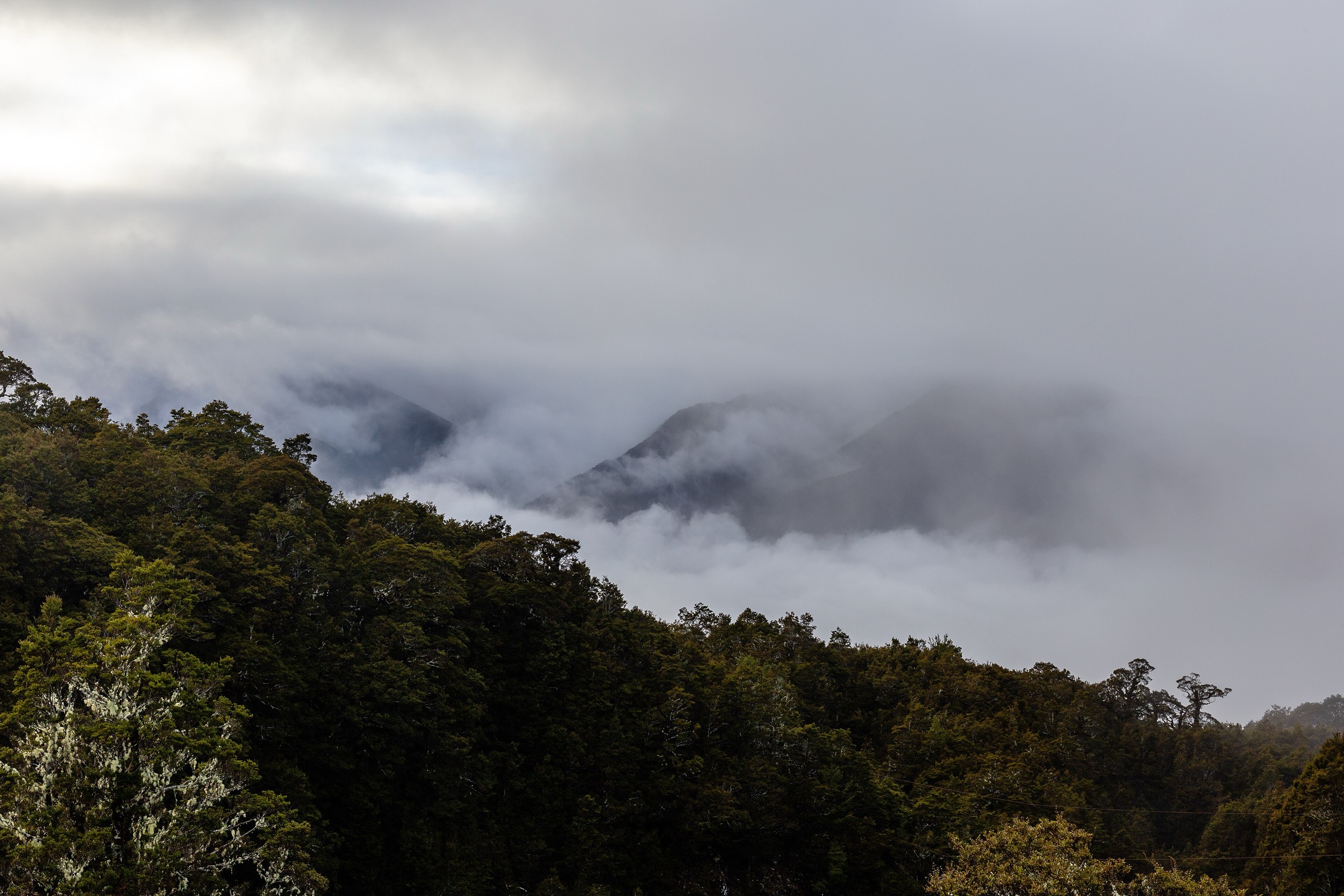
From Rahu Saddle on SH7, the route climbs through beech forest and then onto steeper upper terrain to the Mt Haast summit. Return by the same line. DOC presents this as a demanding tramping route rather than a formed easy walking track, with the modest 5 km return figure masking substantial gain.
Why it is essential
Mt Haast is the northern sector’s compact summit objective and gives the strongest tops experience from the Rahu Saddle side of Victoria Forest Park.
Hazards and notes
- Steep forest and exposed upper terrain; poor visibility on the tops is common.
- Snow and ice can persist on the upper ridge into late spring; microspikes may be needed in shoulder seasons.
- West Coast weather can shift quickly — the short distance is not an indicator of low commitment.
GPX / KML links
| Source | URL | Format | Notes |
|---|---|---|---|
| DOC Reefton walks brochure | doc.govt.nz PDF | Official brochure | DOC website terms; no GPX found |
| DOC Victoria Forest Park | doc.govt.nz | Official park page | DOC website terms |
| AllTrails cross-check | alltrails.com | Third-party map | Do not redistribute AllTrails GPX without licence confirmation |
Further reading
2. Lake Stream Hut via Lake Stream Track
Snapshot
Itinerary
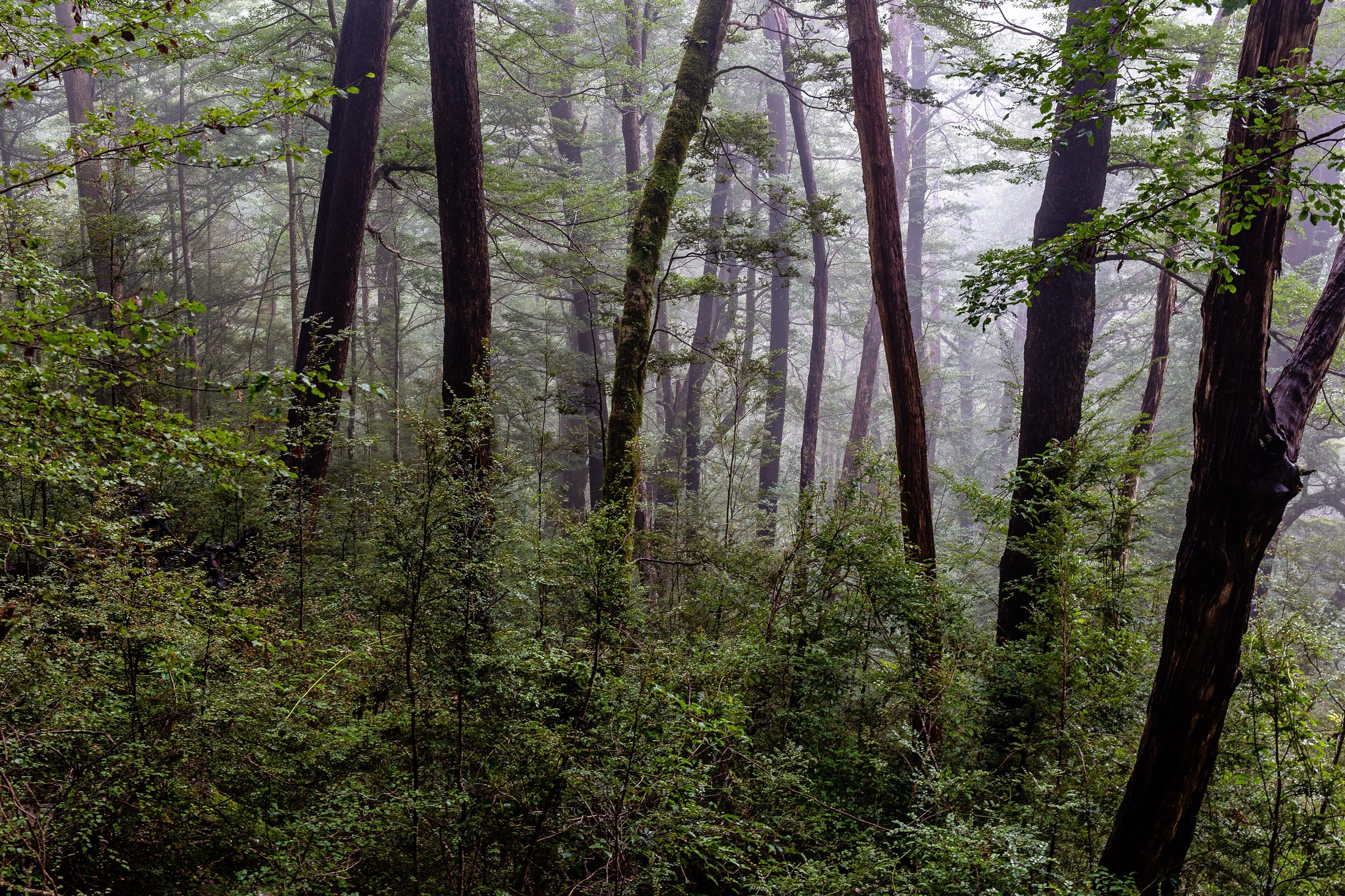
From the Rahu Saddle area, follow the Lake Stream route toward Lake Stream Hut through forest and stream terrain. The route can be extended from the hut toward a saddle for views; this entry uses the hut as the day turnaround.
Why it is essential
Lake Stream is the northern sector’s best verified lake / stream tramping objective and gives a deeper backcountry feel than the shorter mining walks.
Hazards and notes
- Wet ground and stream conditions through the middle section; the route slows considerably after rain.
- Long return time — carry enough gear to cope with an unexpected delay near the hut.
- Navigation on the rougher upper sections; poor cell coverage throughout.
GPX / KML links
| Source | URL | Format | Notes |
|---|---|---|---|
| DOC Reefton walks brochure | doc.govt.nz PDF | Official brochure | DOC website terms; no GPX found |
| AllTrails cross-check | alltrails.com | Third-party map | Do not redistribute AllTrails GPX without licence confirmation |
Further reading
3. Duffy Creek Route
Snapshot
Itinerary
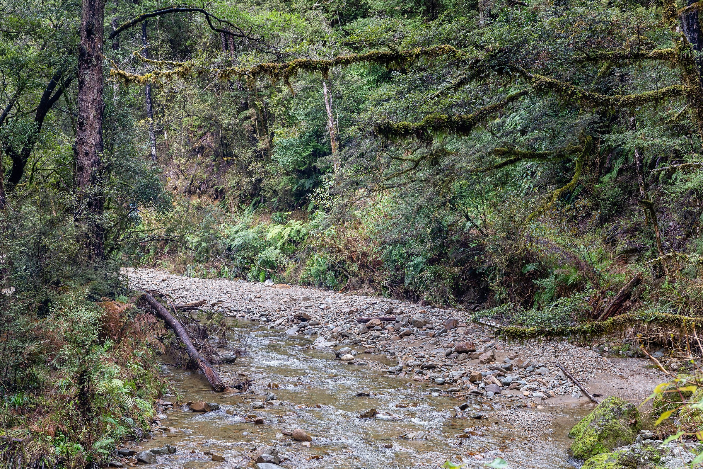
From the Rahu Saddle area, the Duffy Creek route drops into the creek and gorge terrain that DOC’s Reefton walks brochure describes as ephemeral-lake and granite-cliff country. Return by the same line unless a mapped variant has been confirmed in advance.
Why it is essential
Duffy Creek adds a distinctive northern Victoria landscape element — a short, rough creek route rather than another mining walk or ridge ascent.
Hazards and notes
- DOC and AllTrails distance figures describe different route variants. Treat DOC’s 4.4 km return as the official short route and confirm the mapped line before using any longer GPX.
- Creek conditions and slippery rock are likely after rain.
- Poor visibility can make the granite terrain hard to read.
GPX / KML links
| Source | URL | Format | Notes |
|---|---|---|---|
| DOC Reefton walks brochure | doc.govt.nz PDF | Official brochure | DOC website terms; no GPX found |
| AllTrails cross-check | alltrails.com | Third-party map | Longer mapped variant; do not redistribute AllTrails GPX without licence confirmation |
Further reading
4. Larrys Creek Track
Snapshot
Itinerary
Larrys Creek Track follows the creek through beech forest and mining-history terrain associated with the Caledonian Mine area. Return as per DOC’s route description, or use a loop line only if it has been cross-checked against current access.
Why it is essential
Larrys Creek is the accessible northern heritage walk in this set — a short mining-history counterweight to the harder Rahu Saddle and Kirwans routes.
Hazards and notes
- Wet forest track, old mining features and possible stream / mud issues.
- Keep to formed tracks around relics and shafts.
- No licence-compatible route-specific image was located for this entry.
GPX / KML links
| Source | URL | Format | Notes |
|---|---|---|---|
| DOC Reefton walks brochure | doc.govt.nz PDF | Official brochure | DOC website terms; no GPX found |
| AllTrails cross-check | alltrails.com | Third-party map | Loop variant; do not redistribute AllTrails GPX without licence confirmation |
Further reading
5. Waitahu Road to Montgomerie Hut on Kirwans Track
Snapshot
Itinerary
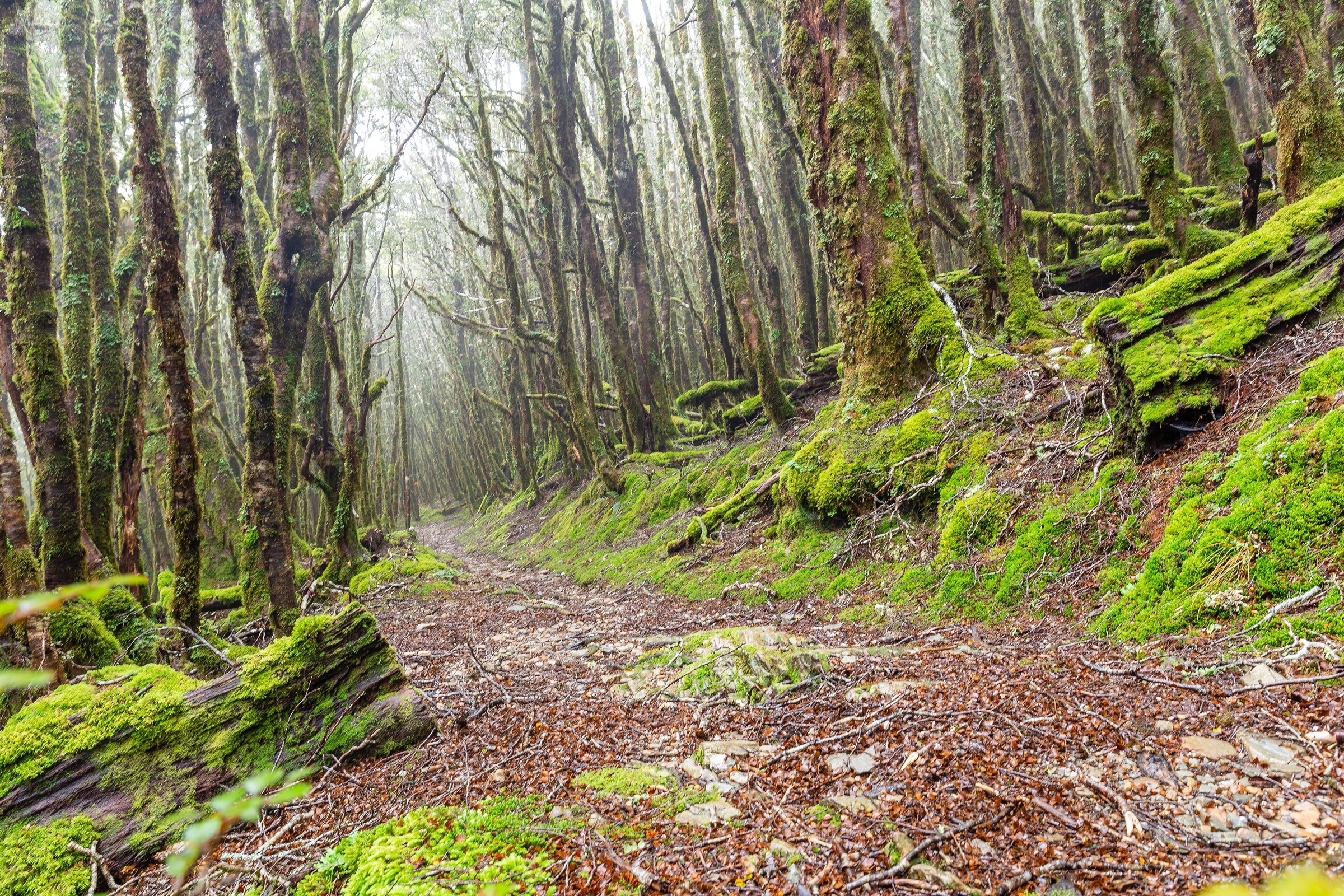
From the Waitahu / Gannons Road car park, Kirwans Track follows the Waitahu River valley to Montgomerie Hut. Return by the same route. The full track continues another 9.2 km to Kirwans Hut and is officially described as a 2–3 day tramp; this entry deliberately uses Montgomerie Hut as the day turnaround.
Why it is essential
Kirwans is one of the best-known northern Victoria Forest Park routes, with mining relics, hut access, and a strong backcountry identity. The Montgomerie Hut turnaround creates the most plausible day-sized section without pushing into the full multi-day distance.
Hazards and notes
- The Waitahu Valley section crosses several fords; DOC warns to take care after heavy rain.
- Do not present this as a Kirwans Hut return day — the full route is too long for a normal day walk.
- Old mining features around Kirwans and Montgomerie need care.
GPX / KML links
| Source | URL | Format | Notes |
|---|---|---|---|
| DOC Kirwans Track | doc.govt.nz | Official route page | DOC website terms; no GPX found |
| DOC Reefton walks brochure | doc.govt.nz PDF | Official brochure | DOC website terms |
| AllTrails: Kirwans Track (full route) | alltrails.com | Third-party map | Full multi-day route; context only, not the Montgomerie day section |
Further reading
Verification notes
- DOC gives limited elevation-gain and maximum-elevation data for several northern Victoria routes; AllTrails records are used only where they match a named DOC route and add measurable geometry.
- Duffy Creek shows a substantial DOC / AllTrails distance discrepancy — the DOC 4.4 km figure is the official short route; the AllTrails 10.6 km line is a longer mapped variant and should be checked before use.
- Kirwans Track is officially a 2–3 day tramp; the Montgomerie Hut turnaround used here is the day-sized section, not a Kirwans Hut return.
- No official GPX / KML files were found for any of the five routes.
Further reading
| Source | URL |
|---|---|
| DOC Victoria Forest Park | doc.govt.nz |
| DOC Reefton walks brochure (PDF) | doc.govt.nz PDF |
| DOC Kirwans Track | doc.govt.nz |
| Storm — Lewis Pass Sector, Spenser Mountains | storm.ski article |
| Wikipedia — Victoria Forest Park | en.wikipedia.org |
| Wikipedia — Reefton | en.wikipedia.org |