Regional overview
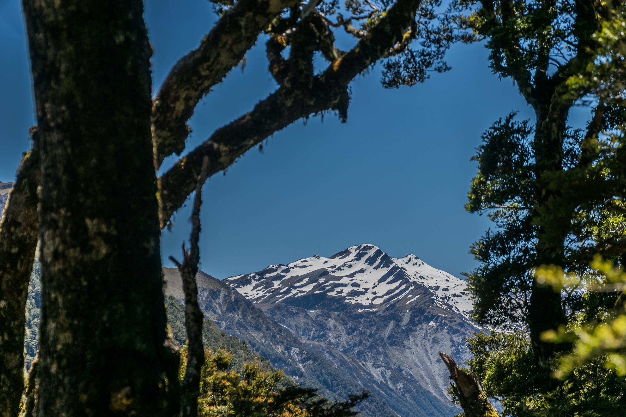
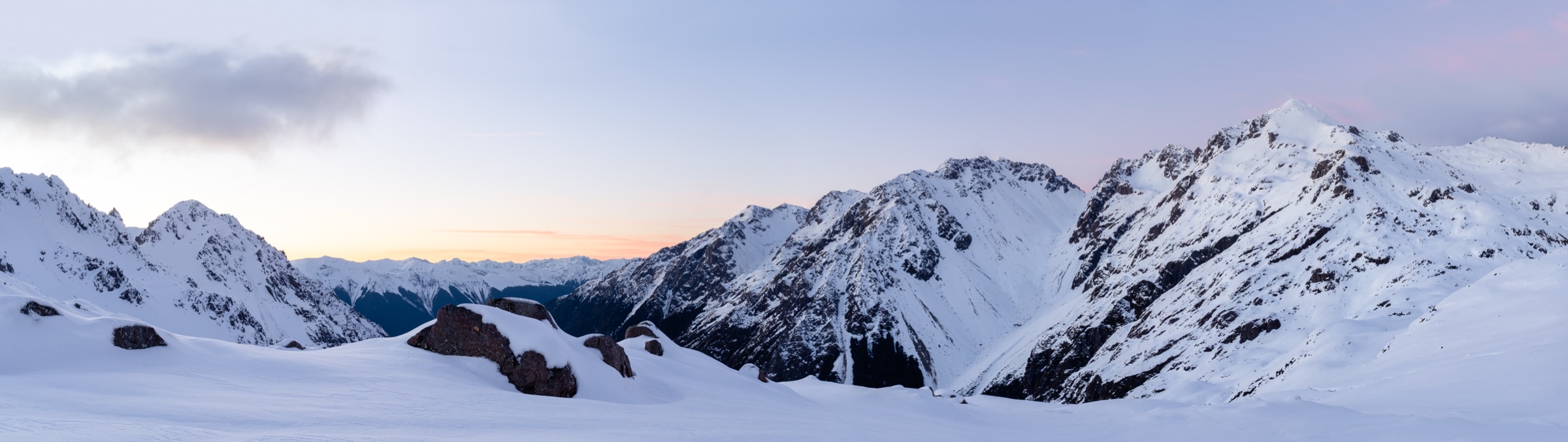
The Spenser Mountains — the DOC and LINZ spelling, occasionally rendered “Spencer” on older sources — form the greywacke ridge system between Nelson Lakes National Park and the North Canterbury / West Coast boundary. Their southern end drops to the low saddle of Lewis Pass at 907 m, the northernmost of the three principal State Highway crossings of the Southern Alps. State Highway 7 climbs over the pass between Springs Junction on the West Coast and Hanmer Springs on the Canterbury side, running through unbroken red beech and silver beech forest and offering the only sealed-road access to serious mountain terrain in the region. This entry covers the road-accessible day walks on both sides of the pass — the West-Coast (Maruia) side and the Canterbury (Lewis River / Nina / Boyle) side — plus the short one-day-out-and-back section of the St James Walkway and the Lewis Tops ridge above the saddle.
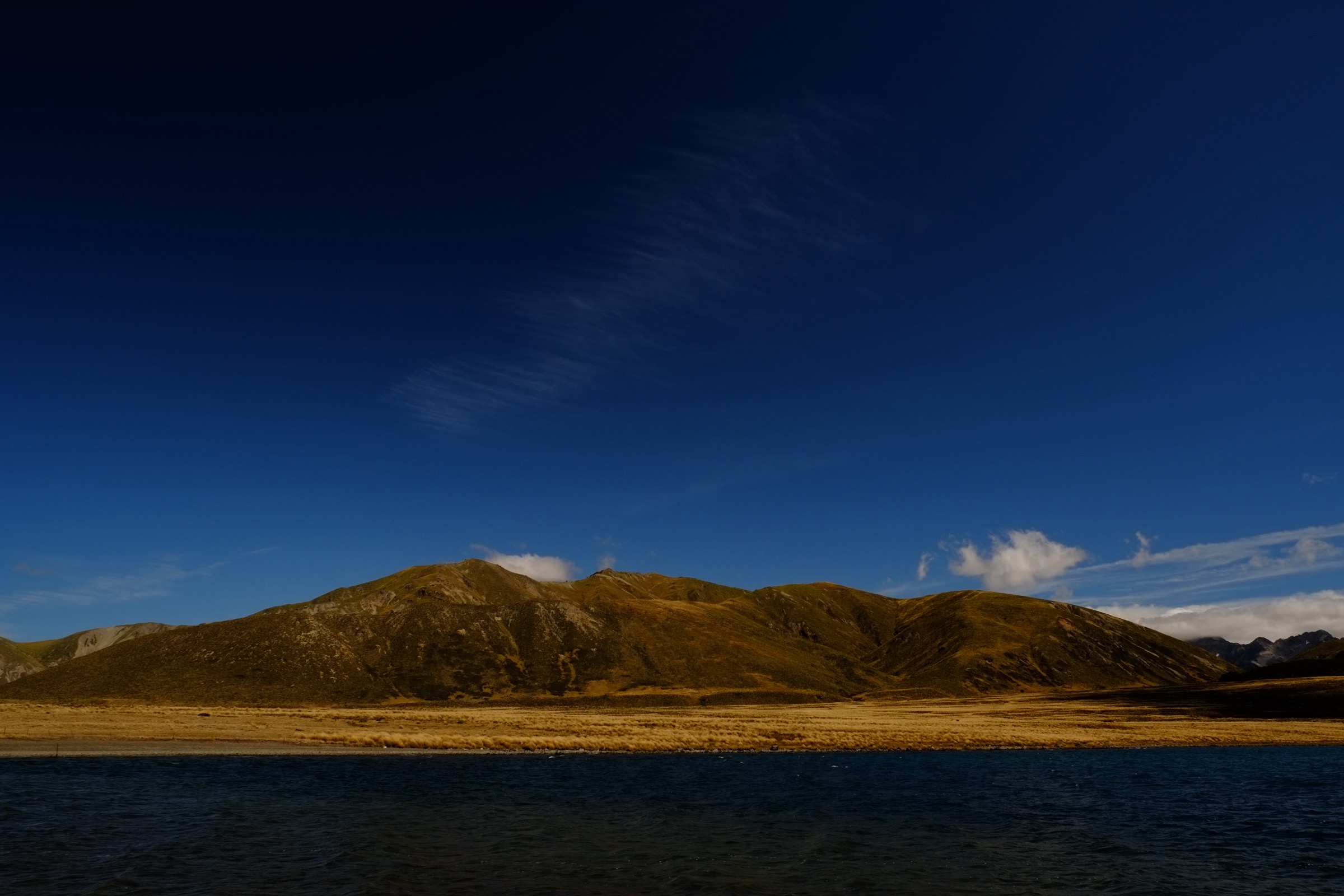
Landscape character around the pass is two-tiered. Below the bushline, dense subalpine beech forest with crown fern and moss carpets is threaded by the Maruia River Right Branch (Cannibal Gorge), the Lewis River, the Alfred River, and the Nina River. Above 1,100–1,300 m, open tussock ridges give way to alpine wetlands, tarns, and shattered greywacke tops rising to 1,600–1,900 m. Key summits close to SH7 include Mt Technical (1,870 m), The Apprentice (1,678 m), Lucretia (1,643 m) and Gloriana Peak, and further west the Freyberg Range. The Nina catchment sits inside Lake Sumner Forest Park; the Cannibal Gorge / Maruia side is Lewis Pass National Scenic Reserve (gazetted 1981); the St James Walkway crosses St James Conservation Area northward toward Boyle Village. The middle section of the walkway is covered separately in the sibling article on the Ada Pass area, and the northern high country in the Nelson Lakes southern sector entry.
Season for road-accessible walking is generally mid-November through late April. Snow lingers on the tops into early summer and returns from May; the pass itself is open year-round but chains may be required in winter. Rainfall averages roughly 2,000 mm/year at Boyle River Lodge, and the Lewis Pass front is one of the wettest parts of Canterbury. Rivers and side creeks rise rapidly in rain and become unsafe to cross; the DOC St James Walkway page repeats this warning multiple times. Parts of the walkway and the Nina Valley cross avalanche paths that peak May–November but can slide year-round. Wasp populations are high January–April in the beech forests. Cellphone coverage is negligible off SH7 and a Personal Locator Beacon is standard for any trip beyond the pass carparks.
Access is by road only. The nearest towns are Christchurch (~230 km east, ~3 hr), Hanmer Springs (~65 km east, ~1 hr), Reefton (~55 km west) and Nelson (~200 km north). East West Coaches operates a seasonal Christchurch–Westport shuttle over Lewis Pass on Sundays, Wednesdays and Fridays, with track drop-offs available at Boyle River, Windy Point and Hanmer Springs by request; there is no scheduled service to the Lewis Pass carpark itself. Vehicle break-ins are repeatedly reported at both the SH7 St James / Lewis Pass carpark and the Nina Valley carpark; DOC and Wilderness Magazine both warn against leaving valuables. Boyle Village at the southern end of the St James Walkway offers a more secure paid carpark at Boyle River Outdoor Education Centre, which also runs a paid shuttle service.
Selection rationale
Five day-scale routes are presented across the Lewis Pass sector: the Lewis Tops Track as the standard road-accessible alpine ridge day, the St James Walkway to Cannibal Gorge Hut as the classic pass-descent forest and river day-out, the Nina Valley Track to Nina Hut as the beech-forest valley day from the West-Coast side, the Lake Daniell (Alfred River) Track as the sector’s premier lake-in-forest walk, and the Alpine Nature Walk as the short interpretive loop at the pass itself. Hike 5 is a short interpretive circuit that sits below the normal 5 km catalogue floor; it is kept as the only accessible / short-walk representative in the sector and as the region’s signposted introduction to Lewis Pass’s alpine wetland ecology. Multi-day traverses along the wider St James Walkway, the Waiau Pass alpine crossing and the Sylvia Tops loop sit outside this day-hike entry.
Summary
| # | Hike | Trailhead | Route type | Distance | Gain | Max elevation | Difficulty |
|---|---|---|---|---|---|---|---|
| 1 | Lewis Tops Track | SH7 Lewis Pass carpark | Out-and-back | ~7–9 km | ~730 m | ~1,550 m | Hard |
| 2 | St James Walkway to Cannibal Gorge Hut | SH7 Lewis Pass carpark | Out-and-back | ~14 km | ~340 m | ~910 m | Easy-to-moderate |
| 3 | Nina Valley Track to Nina Hut | SH7 Nina Valley carpark | Out-and-back | ~14–16 km | ~260 m | ~762 m | Easy-to-moderate |
| 4 | Lake Daniell (Alfred River) Track | Marble Hill Campsite | Out-and-back | ~17 km | ~400 m | ~750 m | Easy |
| 5 | Alpine Nature Walk | SH7 Lewis Pass carpark | Loop | ~1.1 km | ~25 m | ~910 m | Very easy |
1. Lewis Tops Track
Snapshot
Itinerary
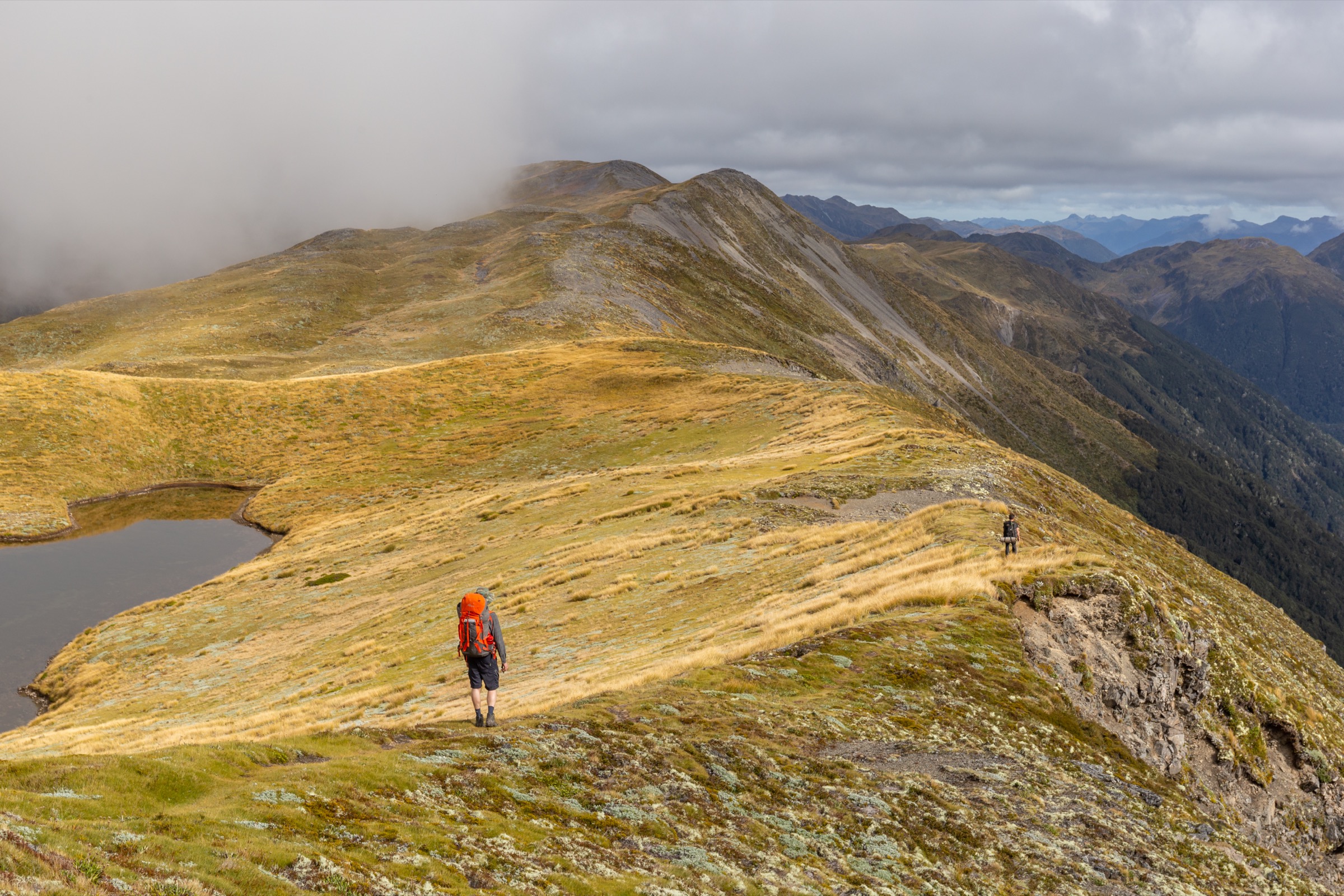
From the SH7 St James carpark 400 m east of the pass summit, the route crosses the road to a small trailhead sign on the north side. It enters mixed silver and mountain beech forest on a steady zig-zag climb; the lower section is a marked track with orange triangles and a worn tread. After about 1 hour and roughly 1.5 km the track breaks the bushline at approximately 1,300 m into open tussock and dracophyllum. From here the ground trail continues north-west up a broad tussock spur past several small alpine tarns, gaining a rounded ridge shoulder in the 1,500–1,550 m range that gives 360-degree views across the upper Maruia to Mt Technical, the Freyberg Range and Gloriana Peak, and back down to SH7 in the Lewis River valley. Most parties turn around at the first cluster of tarns.
Continuation along the ridge is unmarked and involves off-track travel on tussock and scree. Brass Monkey Bivouac (a two-bunk shelter) sits a further 2 km along the ridge at about 1,530 m; Lucretia (1,643 m) and The Apprentice (1,678 m) require several more hours each. These extensions turn Lewis Tops into a two-day or very long-day trip and are excluded from the summary stats above. Return is by reverse of the ascent.
Why it is essential
Lewis Tops Track is the standard road-accessible alpine day walk from Lewis Pass and the DOC-signposted route to the tarn-strewn tops. It gives the fullest view of the southern Spenser Mountains from a normal day trip, including Mt Technical, The Apprentice and the Freyberg Range across the upper Maruia. The tussock plateau supports a cushion-plant vegetation community including Donatia novae-zelandiae and is a designated alpine wetland type; DOC’s Lewis Pass Scenic Reserve page lists the route as the definitive short alpine objective for the sector.
Equipment
- Sturdy tramping boots
- Trekking poles helpful on the muddy bush section and the tussock descent
- Full weatherproof shell — the ridge is exposed
- Warm insulation layer
- Hat and gloves outside midsummer
- 1.5–2 L water — the tarns are visual only; do not drink
- Topographic map (NZ Topo50 BT23 Maruia), compass and GPS
- Personal Locator Beacon
- Sun protection — no shade above the bushline
- Headlamp with spare batteries
- Ice axe and crampons only in early season or after autumn snowfall
Hazards and notes
- Weather — the tops sit above cloud base for much of the year; visibility can drop within an hour, and retreat lines through the bush are only obvious near the marked track
- Snow — snow lingers into December on south-facing tussock and returns in autumn; underestimated by many parties
- Route-finding above bushline — no markers on the ridge; tarn plateaus can be confused in cloud
- Avalanche — the standard tarn-area extent is not in serious avalanche terrain, but any extension toward Lucretia, The Apprentice or Mt Technical crosses avalanche paths active May–November
- Vehicle break-ins — the SH7 Lewis Pass carpark is a repeated theft location; take valuables
- Wasps January–April in the beech section
- Public land — no permission required; the route stays on DOC-administered conservation land
2. St James Walkway to Cannibal Gorge Hut
Snapshot
Itinerary
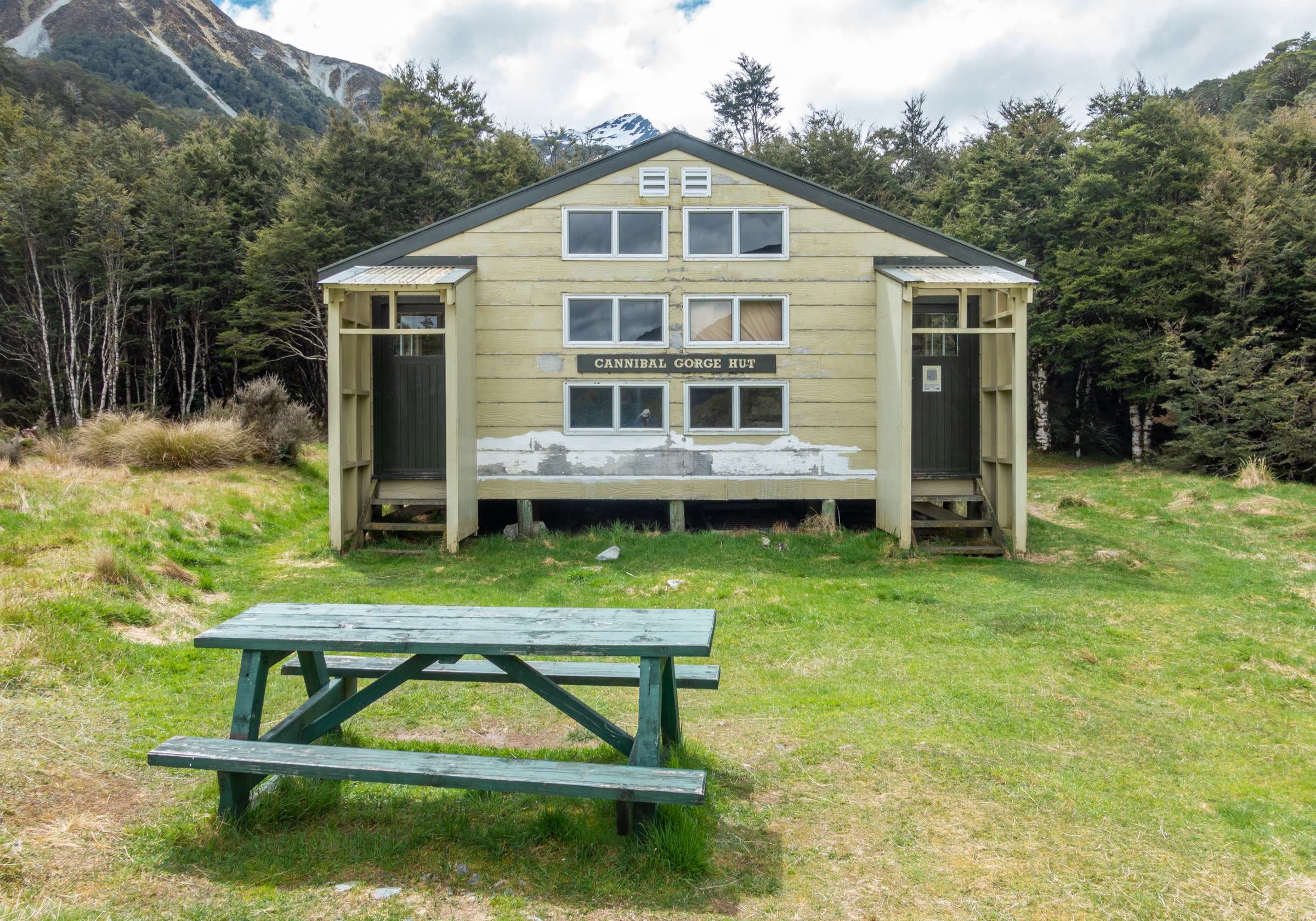
The walk starts at the same trailhead as the Alpine Nature Walk. From the SH7 carpark it crosses the picnic area and enters the boardwalked Tarn Nature Walk bog immediately, with an alpine tarn to the left and views south to Gloriana Peak. After about 500 m the walkway leaves the tarn and enters the beech forest, descending on a series of steady zig-zags into Kopi o Kaitangata (Cannibal Gorge) on the true right of the Maruia River Right Branch. At the base of the descent, at roughly 720 m, a long swingbridge crosses the gorge above the river.
From the swingbridge the walkway climbs back onto the true right terraces and undulates for the next 6 km northwards up the Maruia valley. The track is well-formed and marked, with sections of boardwalk over wet ground, several small side-stream crossings on bridges, and marked avalanche paths that are quickly traversed in normal conditions. Views open on the true left across the Maruia to the Spenser Mountains proper. About 500 m before the hut, the track crosses back west into a grassy flat, and Cannibal Gorge Hut appears on the terrace above the river. The 20-bunk serviced hut requires a booking for overnight stays; day walkers may enter for a break. Return is by reverse of the approach; the swingbridge climb back to the pass is the only significant re-ascent. The walkway continues north beyond the hut toward Ada Pass Hut and Anne Hut — that middle-walkway country is covered in the sibling Ada Pass area entry.
Why it is essential
This is the classic road-accessible day-out on the St James Walkway and the standard way for a walker to sample the walkway’s landscape without a multi-day commitment. The route combines the alpine wetland at the pass, the descent into a named historical gorge (Kopi o Kaitangata, associated with 19th-century skirmishes recorded by early European surveyors), a well-engineered swingbridge, and a valley walk to a serviced backcountry hut in beech forest and open river flats. DOC, Wilderness Magazine, Nelson Trails and Adventures From the South all list it as the standard Lewis Pass one-day walkway experience.
Equipment
- Sturdy tramping boots — mud is common on the terraces
- Weatherproof shell for beech-forest rain
- Warm layer
- 1.5–2 L water — river water is available with treatment
- Insect repellent — sandflies at the hut
- Topographic map (NZ Topo50 BT23 Maruia) or the DOC brochure
- Hut booking if extending to overnight
- Personal Locator Beacon recommended for solo travel
Hazards and notes
- Avalanche — sections of the walkway between the pass and the hut cross marked avalanche paths; DOC and the NZ Mountain Safety Council advise checking the avalanche advisory at avalanche.net.nz from May to November
- River — side streams can rise fast in rain; the main swingbridge is unaffected but shallow ground crossings elsewhere can become impassable
- Vehicle break-ins — the SH7 Lewis Pass carpark is a repeated theft location; take valuables
- Wasps January–April in the beech
- Hut booking required only to overnight; day walkers may use the hut for a break
3. Nina Valley Track to Nina Hut
Snapshot
Itinerary
From the SH7 carpark 150 m north of the NZDA (Palmer) Lodge, the route drops within a few minutes to a signposted swingbridge over the Lewis River. On the far side the track climbs briefly onto a low terrace, then traverses beech forest above the true right of the Nina River for about 1 hour and 3 km to a second swingbridge over the Nina. This is the main crossing; above it the track follows the Nina Valley on its true right — level for most of its length but with several muddy sections and multiple small side-creek crossings that step across on rocks and boardwalks.
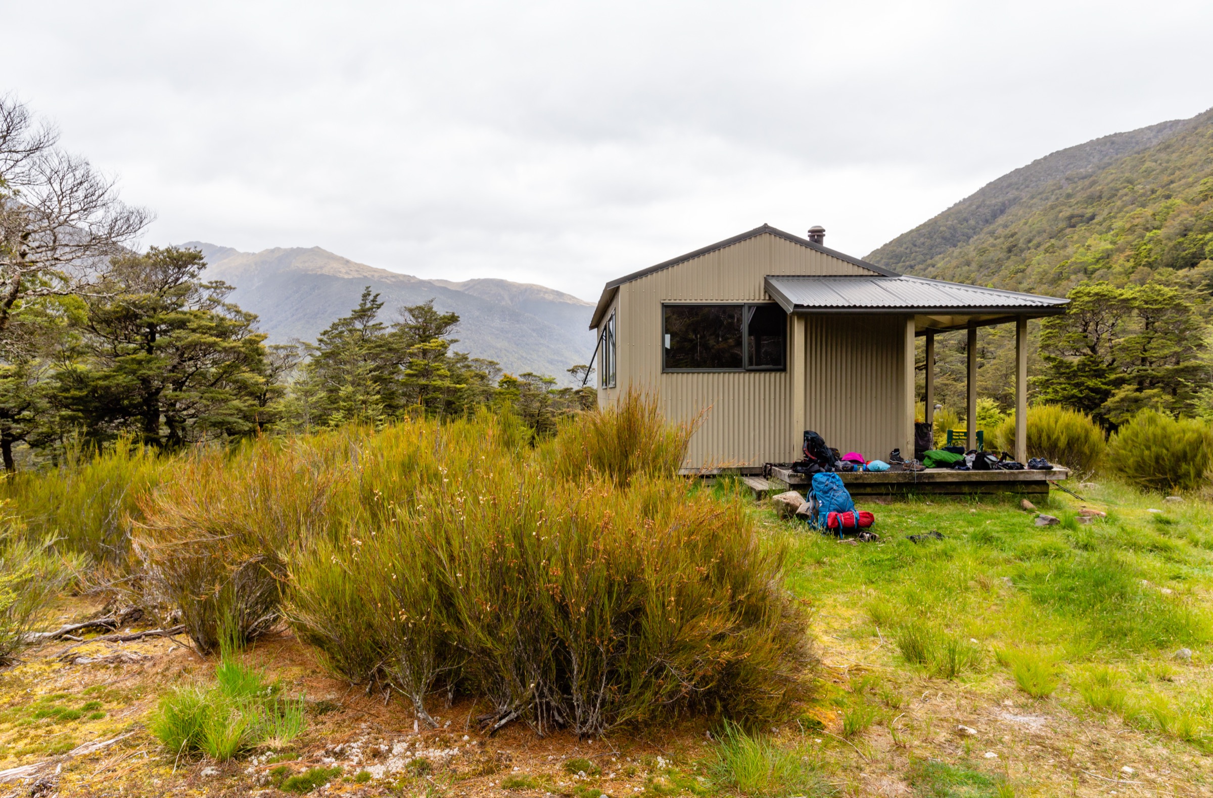
The upper section passes through open beech clearings, briefly leaving the trees for grassy flats, before making the last gradual climb to Nina Hut on an open knoll on the true right of the river. The 10-bunk bookable hut has a wood burner and rainwater and sits with beech and mountains surrounding it, giving views up-valley toward Devilskin Saddle and Sylvia Tops. DOC’s listed time is 3 hours each way at a moderate pace; strong parties do it in 2–2.5 hours each way. Return is by reverse of the outbound track.
Why it is essential
Nina Hut is the region’s classic accessible-hut day walk. Unlike the Cannibal Gorge Hut route it stays in the beech, giving a very different feel — a valley-in-forest walk on the West-Coast catchment of the pass. DOC describes Nina Hut as “a good overnight option for families or new trampers,” and it is one of the two bookable huts that can genuinely be reached inside a normal day. It is also the trailhead for the longer Sylvia Tops loop and Nina Valley–Devilskin Saddle traverses, adding value as a returning walker’s benchmark.
Equipment
- Sturdy tramping boots for the mud
- Gaiters — sensible in wet months
- Trekking poles helpful on side-creek crossings
- Weatherproof shell
- Warm layer
- 1.5–2 L water — treated Nina River water is available at the hut
- Insect repellent — sandflies at the hut
- Antihistamine or sting kit for wasps January–April
- Hut booking for overnight stays
Hazards and notes
- Mud — DOC is unambiguous: “The Nina Valley Track to Nina Hut can become extremely muddy, especially after heavy rain”
- Side creeks — streams can rise in rain and normally trivial crossings become impassable; check the forecast before departure
- Wasps January–April; the beech forest is particularly wasp-heavy at Nina
- Vehicle break-ins — the SH7 Nina carpark is a known theft location; some parties leave vehicles at Palmer Lodge for a fee
- Dogs prohibited in Lake Sumner Forest Park and at the hut
- Hut booking required year-round for overnight stays; day visits are permitted
4. Lake Daniell (Alfred River) Track
Snapshot
Itinerary
From the Marble Hill Campsite shelter, the walk starts on a gravel spur road leading past a picnic area to the marked track. Almost immediately it drops to the Maruia River and crosses the Sluice Box — a narrow slot gorge cut through greywacke — on a footbridge. Beyond the Sluice Box the track climbs briefly out of the gorge, then contours through mature red beech forest on the true left of the Alfred River (a Maruia tributary) for the next 6–7 km, gaining height very gently and passing predator-trap lines maintained under the local biodiversity project.
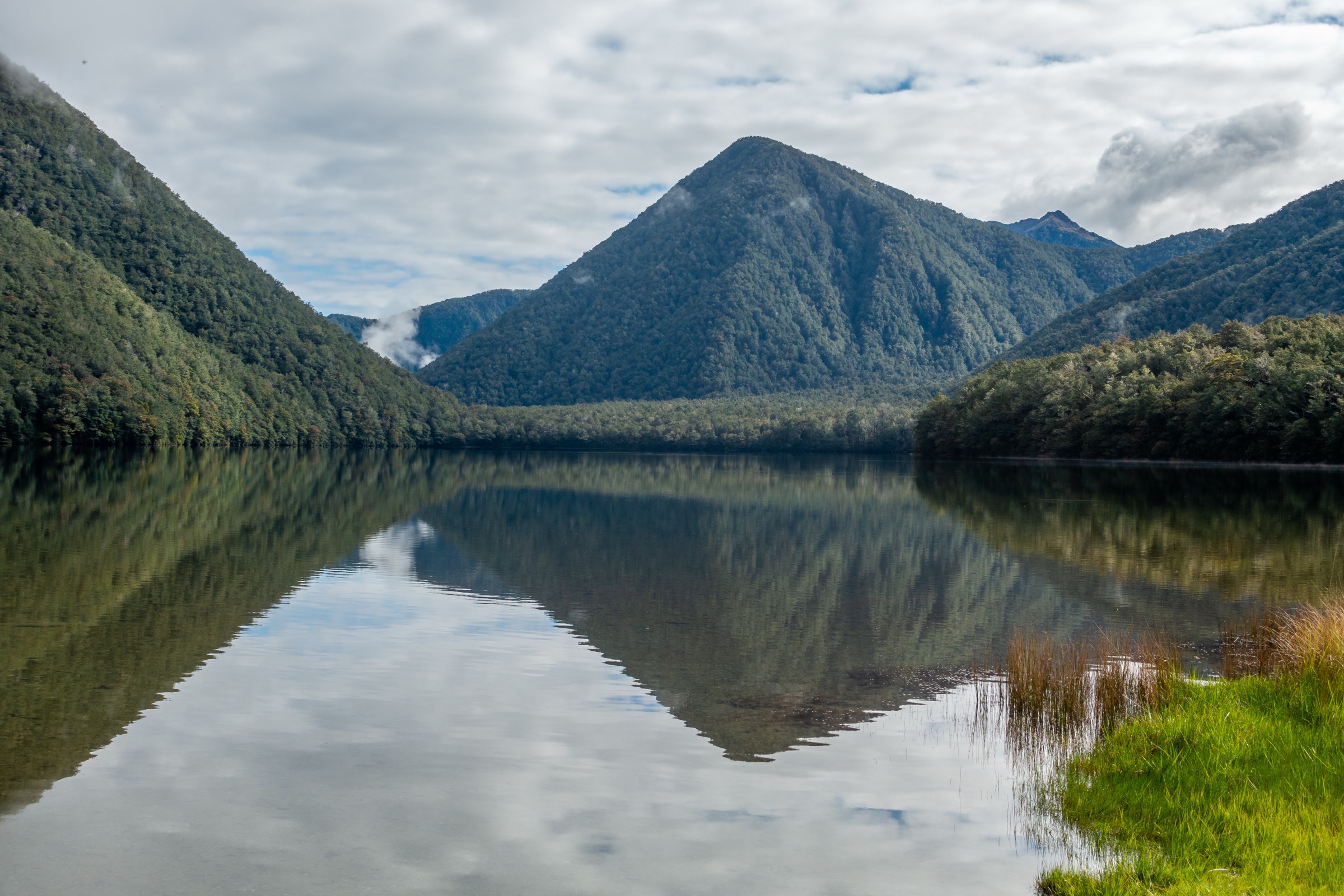
The track opens onto the shore of Lake Daniell with the 20-bunk Kōhanga Atawhai / Manson Nicholls Memorial Hut on a low bench above the lake’s south-east corner. A short section of shoreline gives easy access to the lake edge and a small pier. Return is by the same track. DOC notes the track is “a great walk for families with young children or those people new to tramping” and the tread is benched throughout.
Why it is essential
Lake Daniell is the archetypal red-beech forest-and-lake day walk of the region and one of the few genuinely easy road-accessible day walks that reaches a hut on a lake in Lewis Pass Scenic Reserve. It gives the fullest exposure to the pass’s forest character without any tops travel, and its serviced hut and lake pier make it the sector’s most popular family-tramping objective. DOC’s own page signals it as the introductory tramp for the area. It is also one of the few walks in the sector where sandfly and wasp cover is manageable in November–December before the January peaks.
Equipment
- Hiking boots or trail shoes — well-formed track
- Weatherproof layer
- Warm layer
- 1.5–2 L water — lake water available with treatment
- Sandfly repellent (essential at the lake)
- Antihistamine for wasps December–April
- Map or DOC brochure
- Headlamp if returning at dusk
Hazards and notes
- Wasps December–April, particularly heavy in this beech forest
- Sluice Box — the narrow gorge just above the trailhead is fenced but the sides are steep; supervise children
- Private land upstream — access beyond the hut to Station Creek / Sherriff River requires landowner permission and is not part of this day walk
- Mountain biking prohibited
- Vehicle break-ins — less reported than at the SH7 Lewis Pass and Nina carparks, but still take valuables
- Hut booking required only for overnight; day visitors may use the hut
5. Alpine Nature Walk
Snapshot
Itinerary
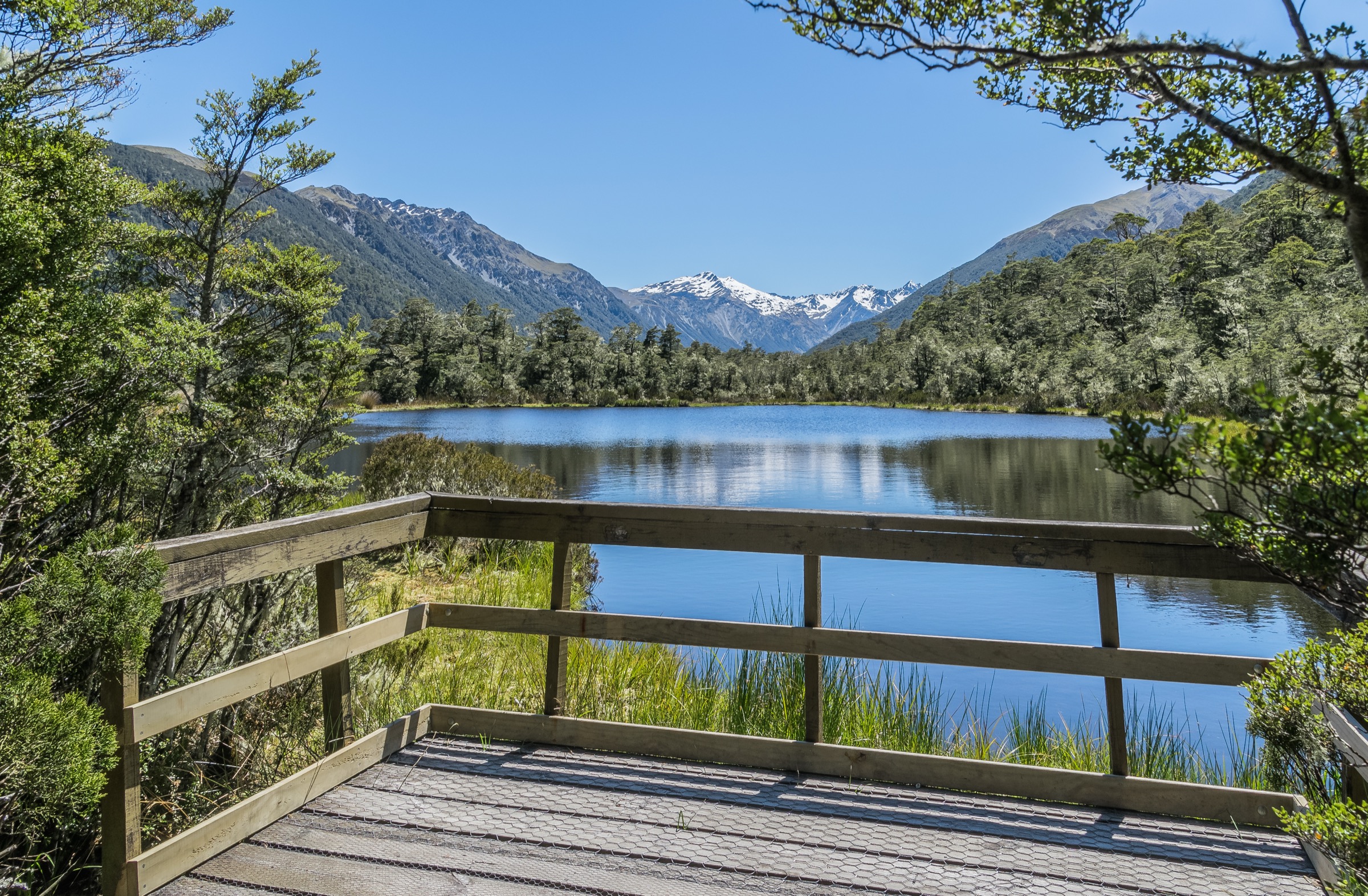
From the carpark, the loop leaves the picnic area and follows a signposted graded track and boardwalk south around a small alpine tarn. Interpretive panels along the route introduce the alpine wetland ecology, the cushion-plant vegetation of the pass (including Donatia novae-zelandiae) and the views south to Gloriana Peak and the Spenser Mountains proper. The path is largely level and rejoins the carpark from the far side of the tarn. Sections of the boardwalk also form the first segment of the St James Walkway (Hike 2), so the loop pairs naturally with the Cannibal Gorge day for a longer visit.
Why it is essential
Although short, the Alpine Nature Walk is the sector’s signposted introduction to Lewis Pass’s alpine wetland and the only place on SH7 in Canterbury where a traveller can leave the vehicle and stand in a genuine alpine tarn community within 10 minutes. It is the region’s only official interpretive walk and is repeatedly listed as an essential road-side stop by DOC, Rankers, and PlanMyWalk. It is included in this catalogue as the accessible / short-walk category for the pass and as a natural pairing with Cannibal Gorge Hut (Hike 2) for a full day out. The route sits below the normal 5–25 km catalogue floor and is retained as a signposted essential-stop rather than a mountain objective.
Equipment
- Trail shoes or approach shoes
- Wind shell — the pass is exposed
- Warm layer at any time of year
- Water
- Sun protection
- Sandfly repellent in warm months
Hazards and notes
- Weather — rain and wind are common at the saddle even on fine days elsewhere on the coast
- Vehicle break-ins — the SH7 Lewis Pass carpark is a repeated theft location
- Wasps January–April, though less concentrated than in the beech valleys
- Dogs not permitted in the Scenic Reserve
Further reading
| Resource | Link |
|---|---|
| DOC — Lewis Pass Scenic Reserve | doc.govt.nz |
| DOC — Lewis Tops Track | doc.govt.nz |
| DOC — St James Walkway | doc.govt.nz |
| DOC — Cannibal Gorge Hut | doc.govt.nz |
| DOC — Nina Valley Track | doc.govt.nz |
| DOC — Nina Hut | doc.govt.nz |
| DOC — Lake Daniell Track | doc.govt.nz |
| DOC — Alpine Nature Walk | doc.govt.nz |
| NZ Mountain Safety Council — PlanMyWalk | planmywalk.nz |
| NZ Mountain Safety Council — Avalanche advisory | avalanche.net.nz |
| East West Coaches — Christchurch–Westport shuttle | eastwestcoaches.co.nz |
| MetService — Canterbury regional forecast | metservice.com |
| Wilderness Magazine — Cannibal Gorge Hut trip | wildernessmag.co.nz |
| Wikipedia — Lewis Pass | en.wikipedia.org |
| Wikipedia — Spenser Mountains | en.wikipedia.org |
| Wikipedia — St James Walkway | en.wikipedia.org |
| Wikimedia Commons — Lewis Pass Scenic Reserve category | commons.wikimedia.org |